
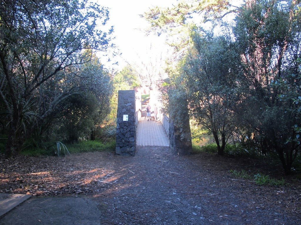
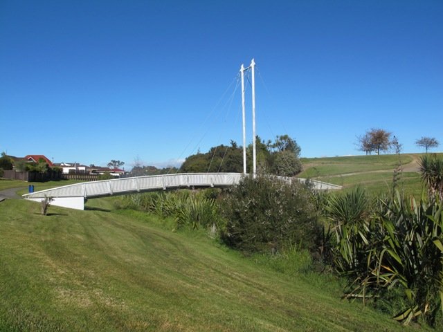
The Cascade Walkway (7.5km of shared paths between Meadowland Drive and Lloyd Elsmore Park, Pakuranga) is another area that has been on our list to explore. We set out from Howick Historical Village hoping to find well sign-posted walking paths. The best we found was a post with two arrows on it! (New signage has been installed since our first visit).

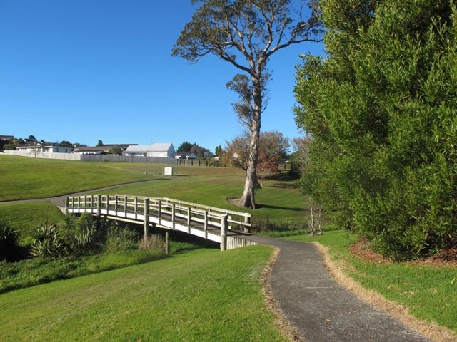
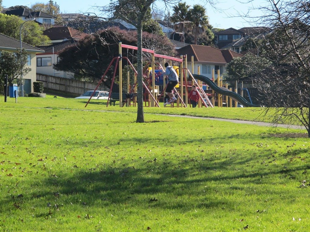
The paths are great for cycling and walking (with your dog and/or your children). There is diverse birdlife and native plants and trees. We were surprised by the lack of picnic/BBQ facilities, public toilets and children’s playgrounds within the Cascade Reserve. However, we did come across 3 children’s playgrounds in total, making this a short family friendly walk.

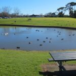
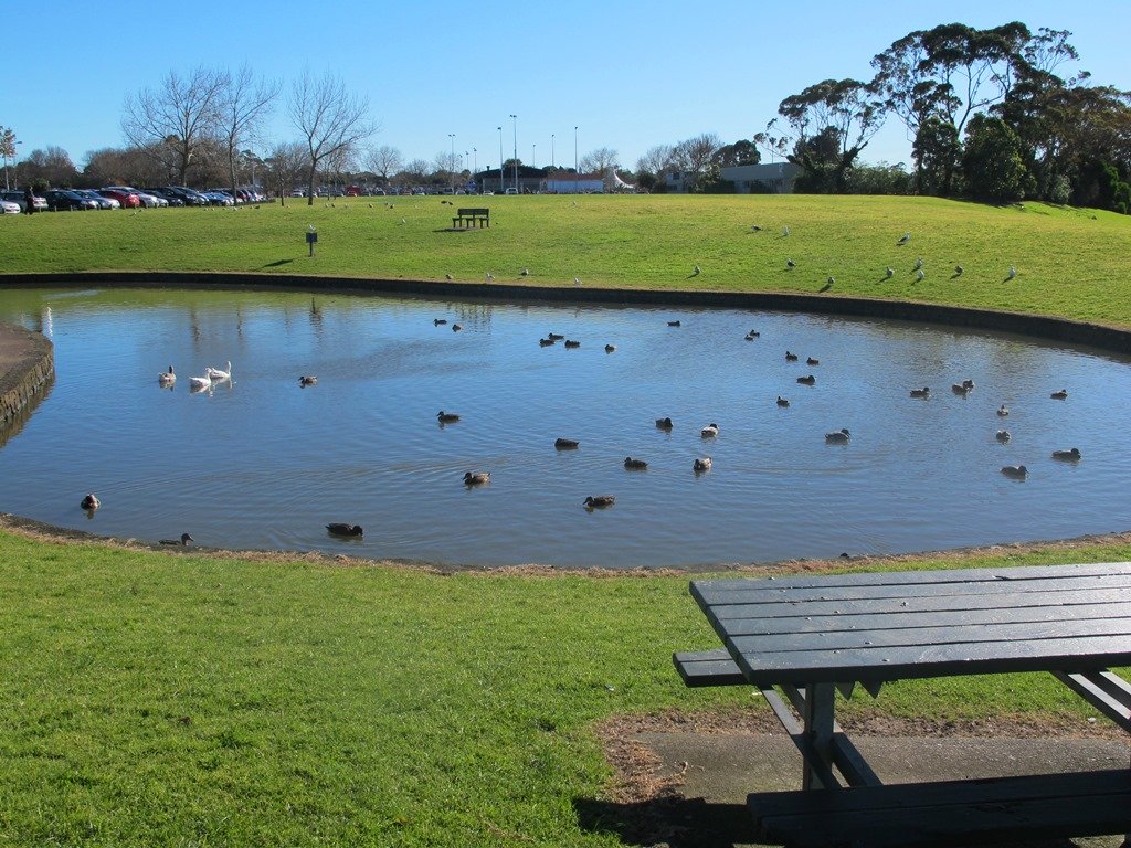
Near the Historical Village is an area to play with marbles, and another area for kids to ride their bicycles on a specially made track. There is a duck pond and some bench seats along the walkway nearby.
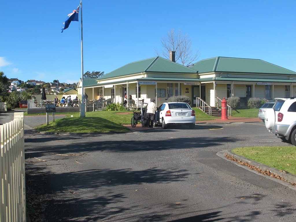
We had lunch and coffee at the Homestead Cafe (the homemade bacon and egg quiche was very tasty).
You can find the Auckland Council’s information on the Cascade Walkway here.
Dogs – off leash exercise areas available (see more Dog Friendly Walks)
Suitable for family cycling:Between Meadlowland Drive and Lloyd Elsmore Park, Pakuranga, 7.5km.
Description: Mainly level paths and a few slightly inclined paths. Suitable for users of average fitness and mobility. Mostly concrete paths with a small stretch of dirt track under trees. Buggy/pram friendly.
To see: Creeks, birdlife, small waterfall, bridges, tunnel. View of Rangitoto Island, Pigeon Mountain, Mt Wellington, Waitakere Ranges and One Tree Hill
Time: approx. 75 minutes. (about 6 kms)
Start: Bells Road off Cascades Road/Pakuranga Road MAP
Stay on track…get your detailed guide and map of the AE-040 Cascade Walkway Loop at our Walks Store and our Book Store (“Dog Friendly part 3” and “Best of the East”).


Watch this video to get a taste of Cascades Walkway:
 The Mangemangeroa Reserve track was a totally new discovery for us today. I was aware of it’s existence (and my awareness was raised further by my friend Isabel).