Tag Archives: Map And Directions

Apirana St Johns Loop

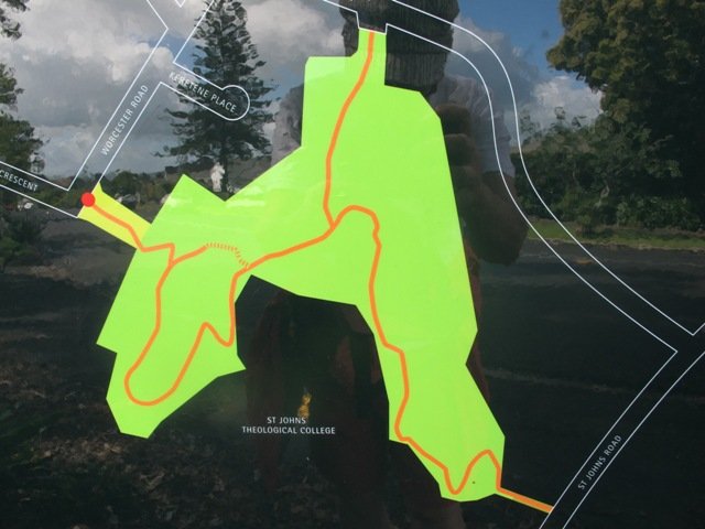
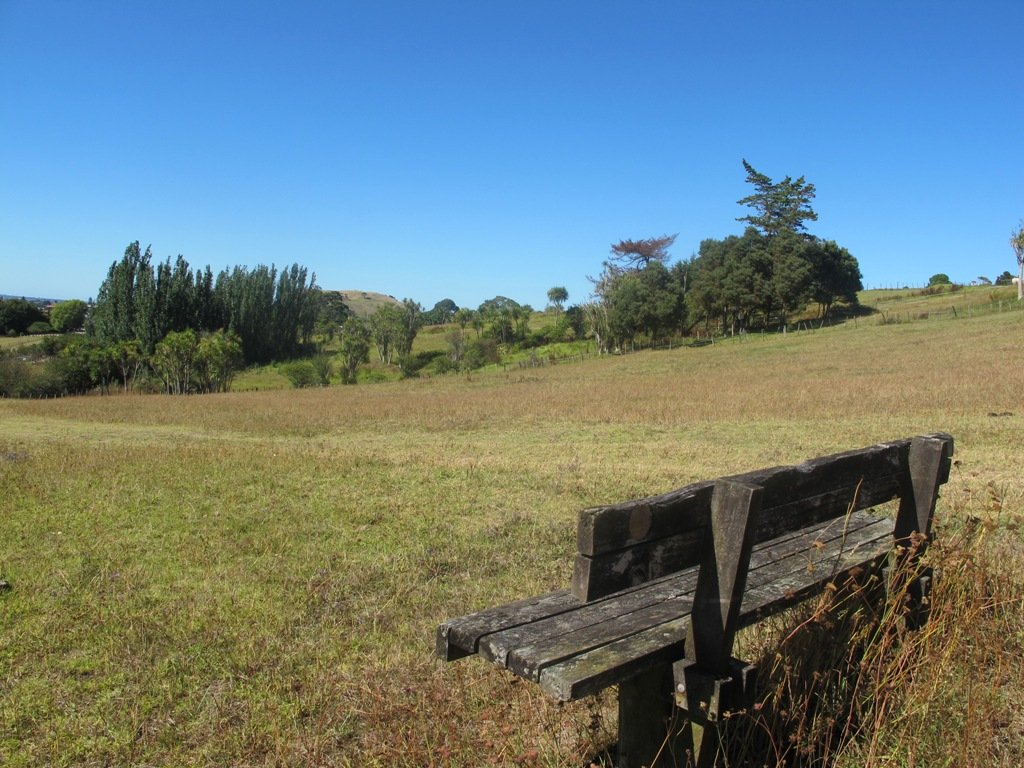
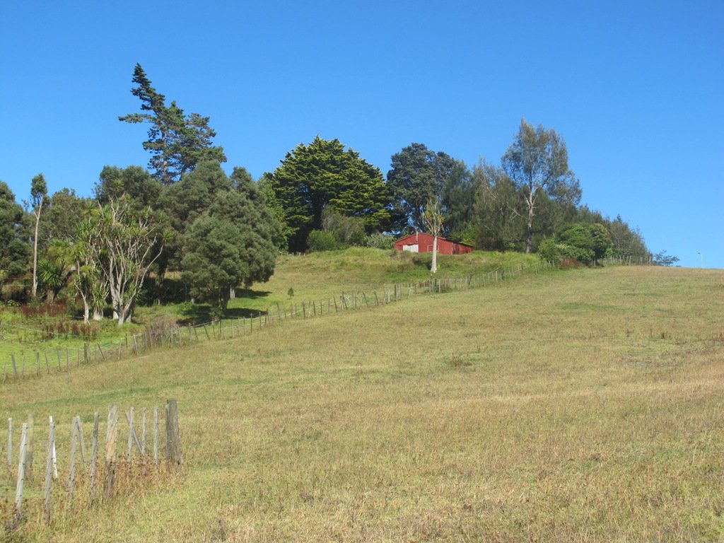
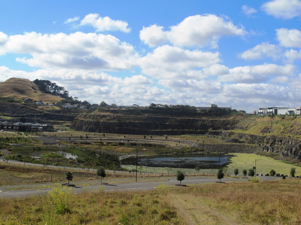
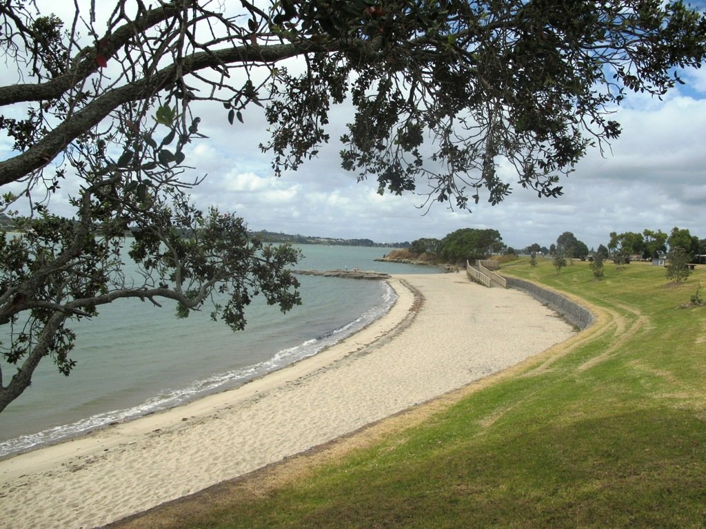
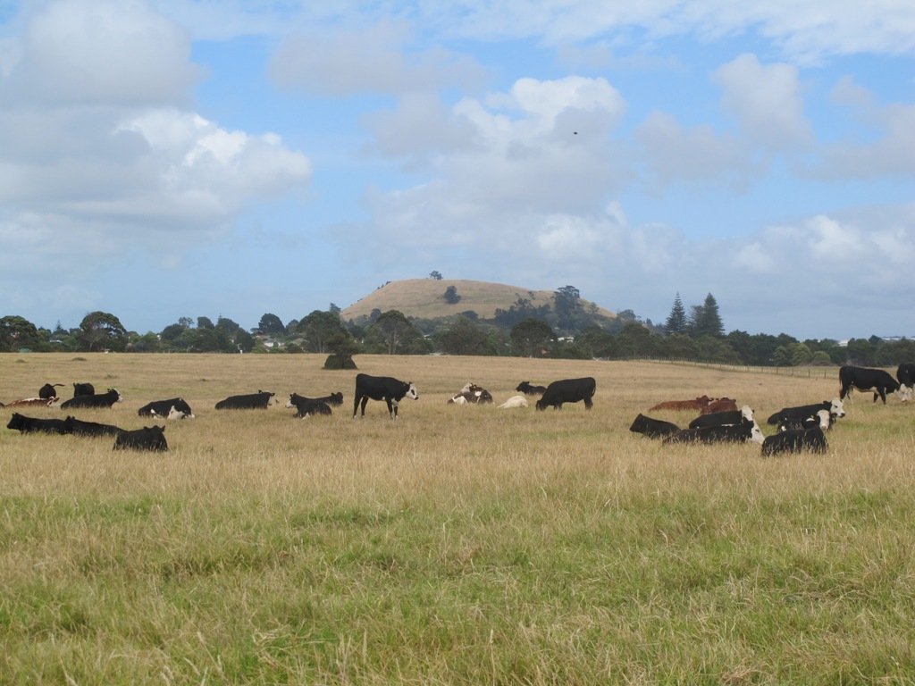
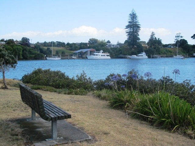
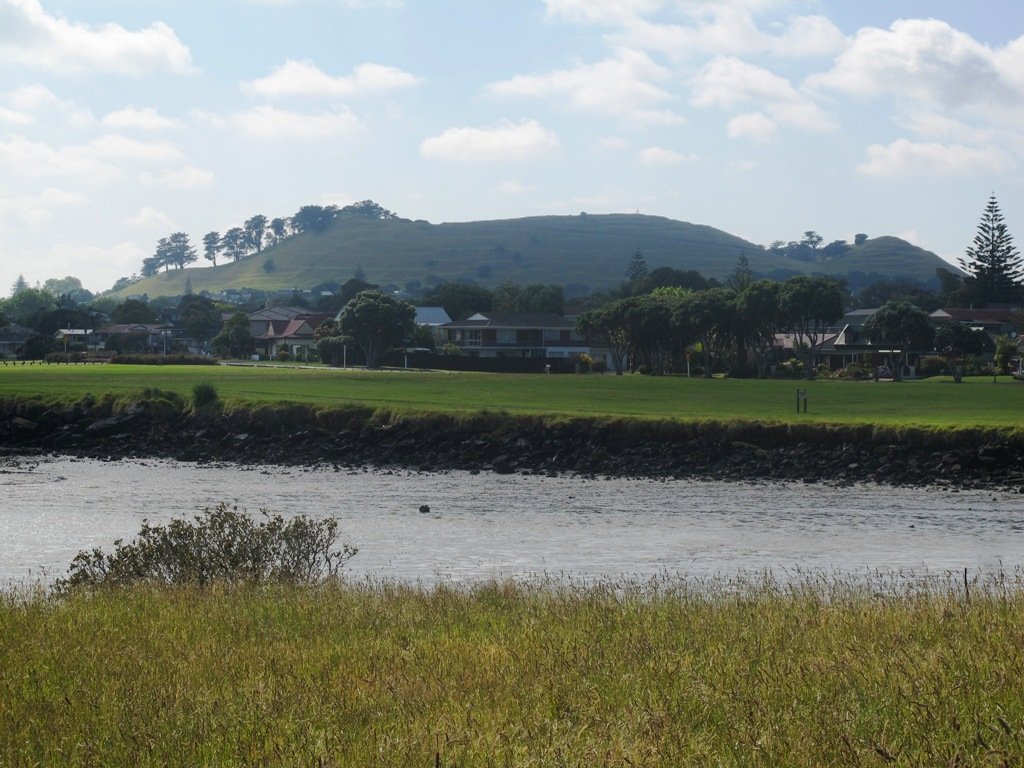
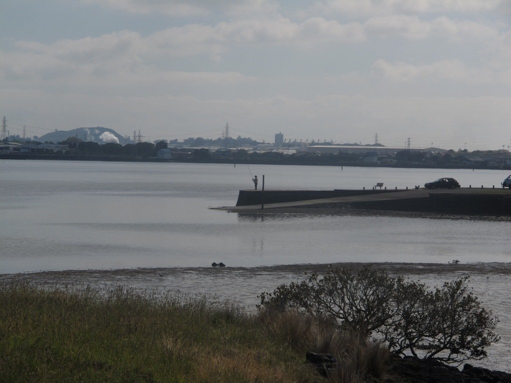
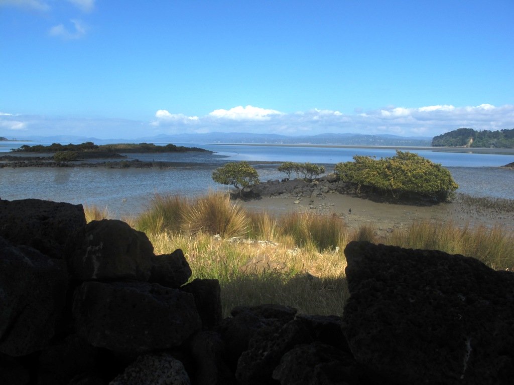
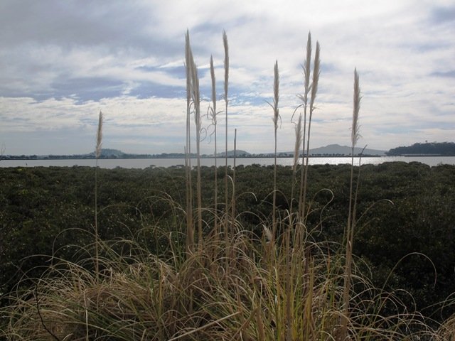
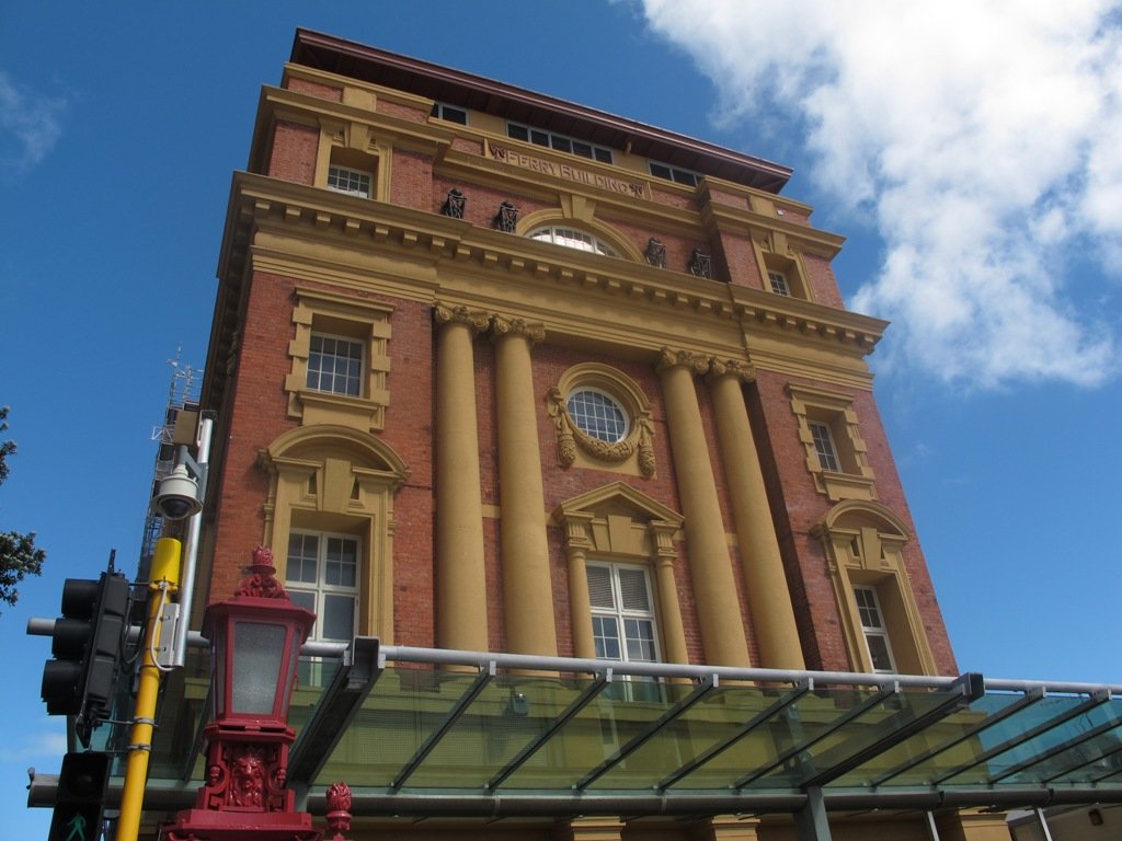
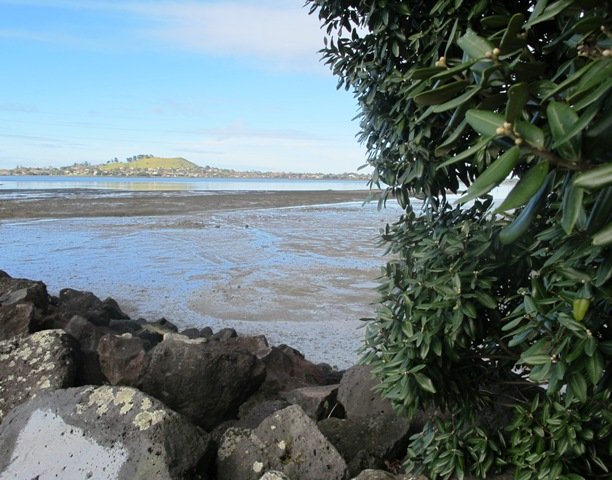
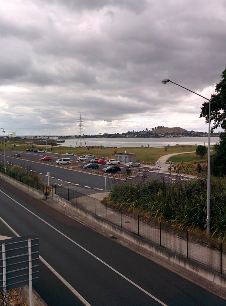
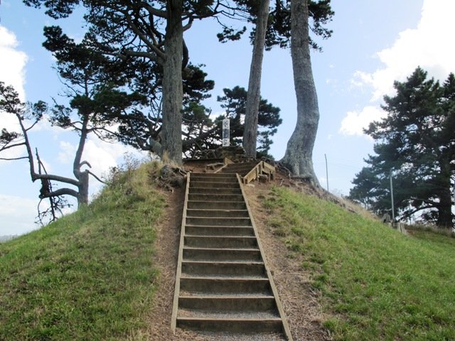
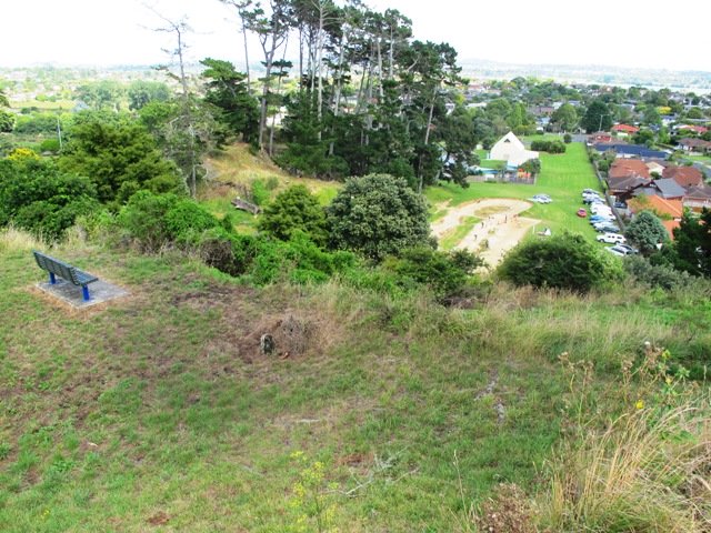
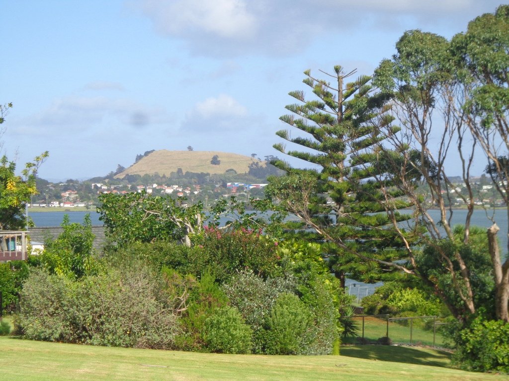
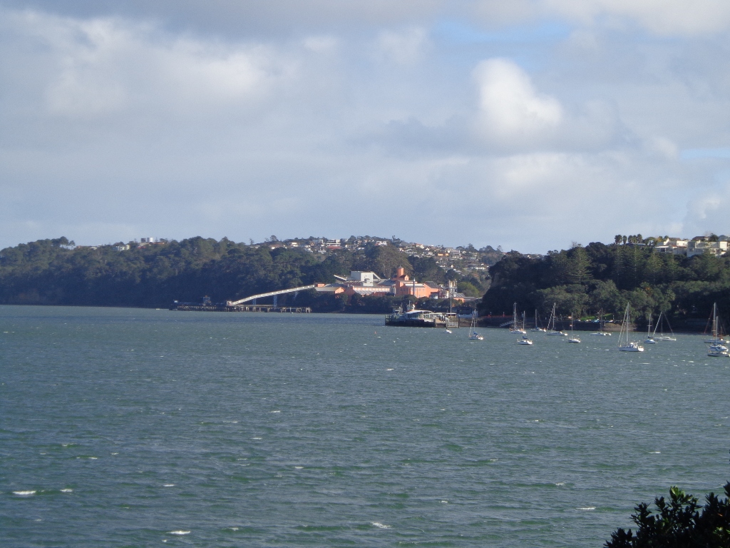
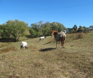
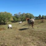
This walk makes use of the reserves within walking distance of Glen Innes Train Station. We visit the horse paddocks of Apirana Reserve with views of Mount Wellington, Eastern Beach and on a clear day, the Coromandel (this is part of the 7.5km  Point to Point Walkway) and then walk through the native bush within St Johns Bush.

Apirana Reserve is part of the Point to Point Walkway

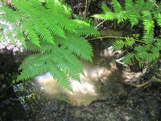
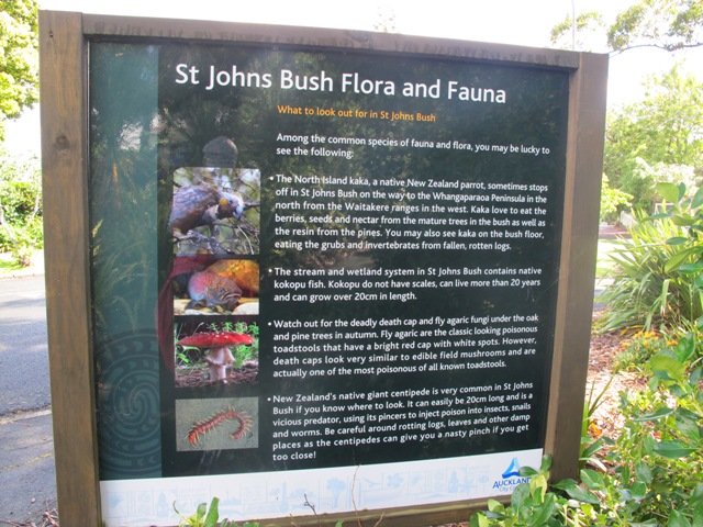
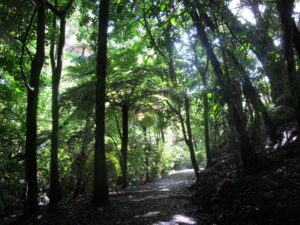
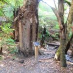
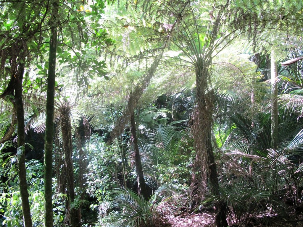
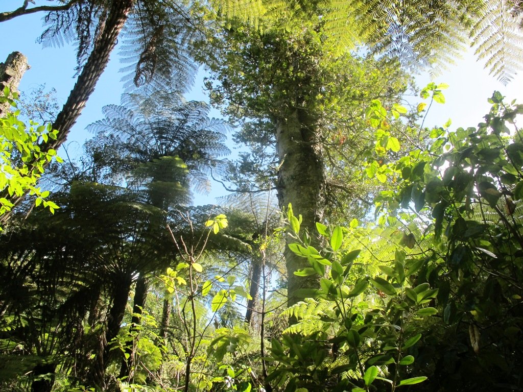
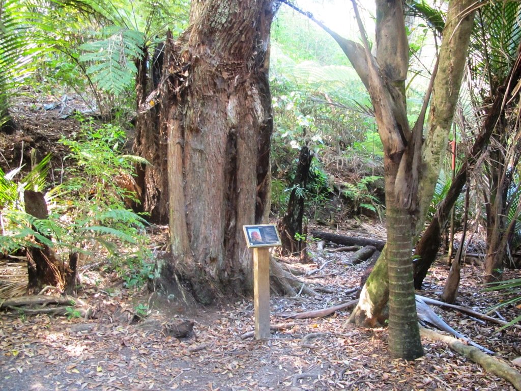
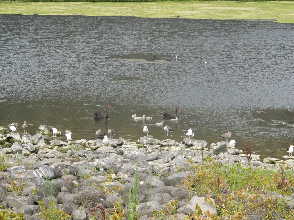
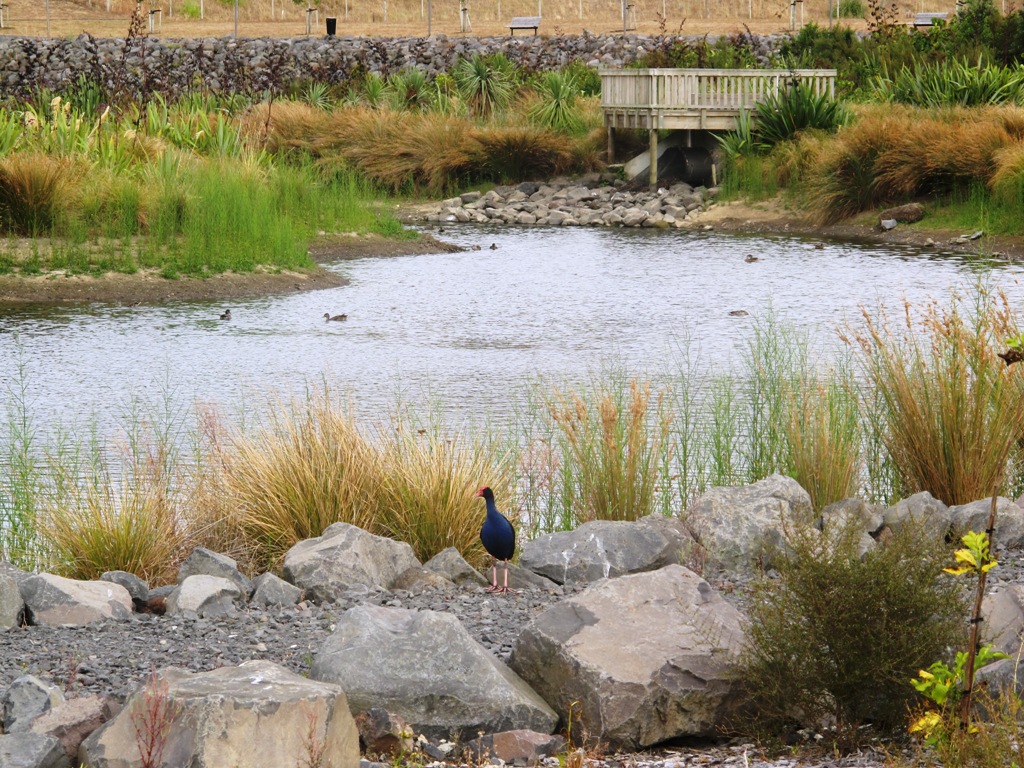
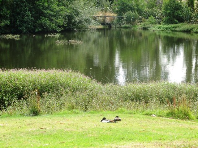
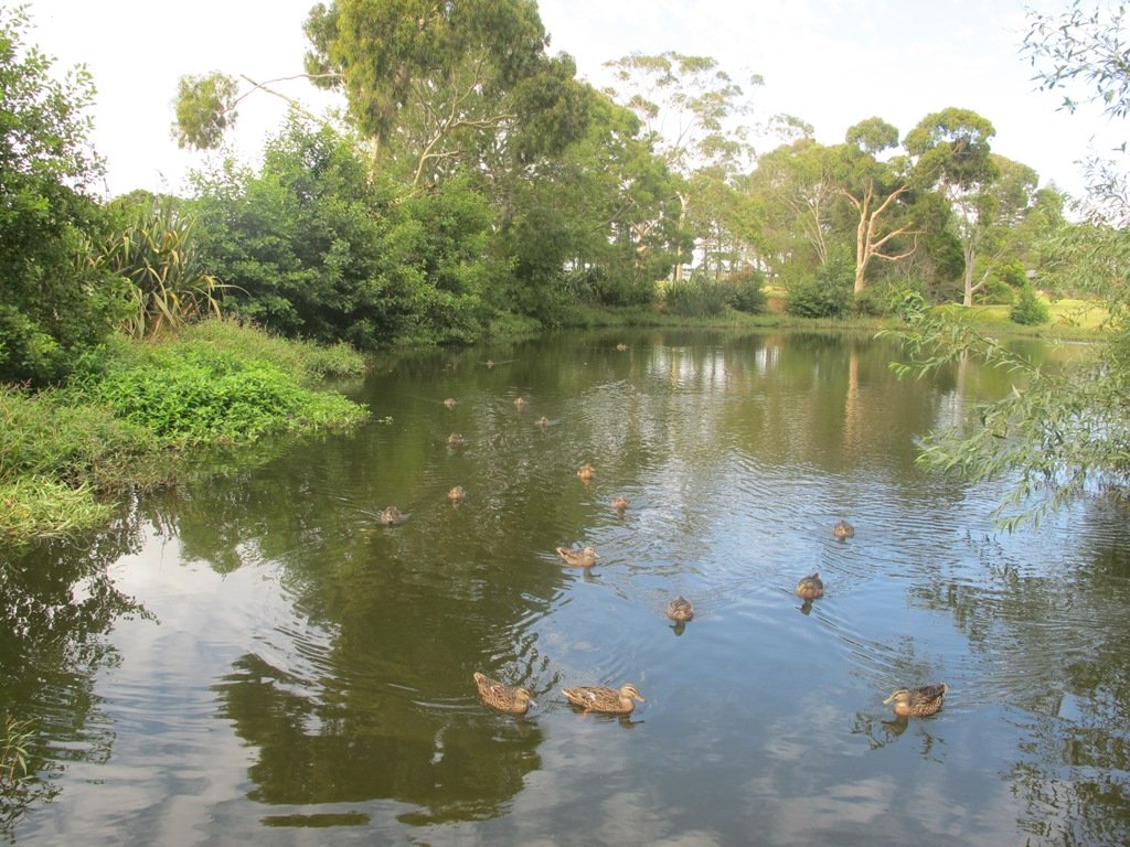
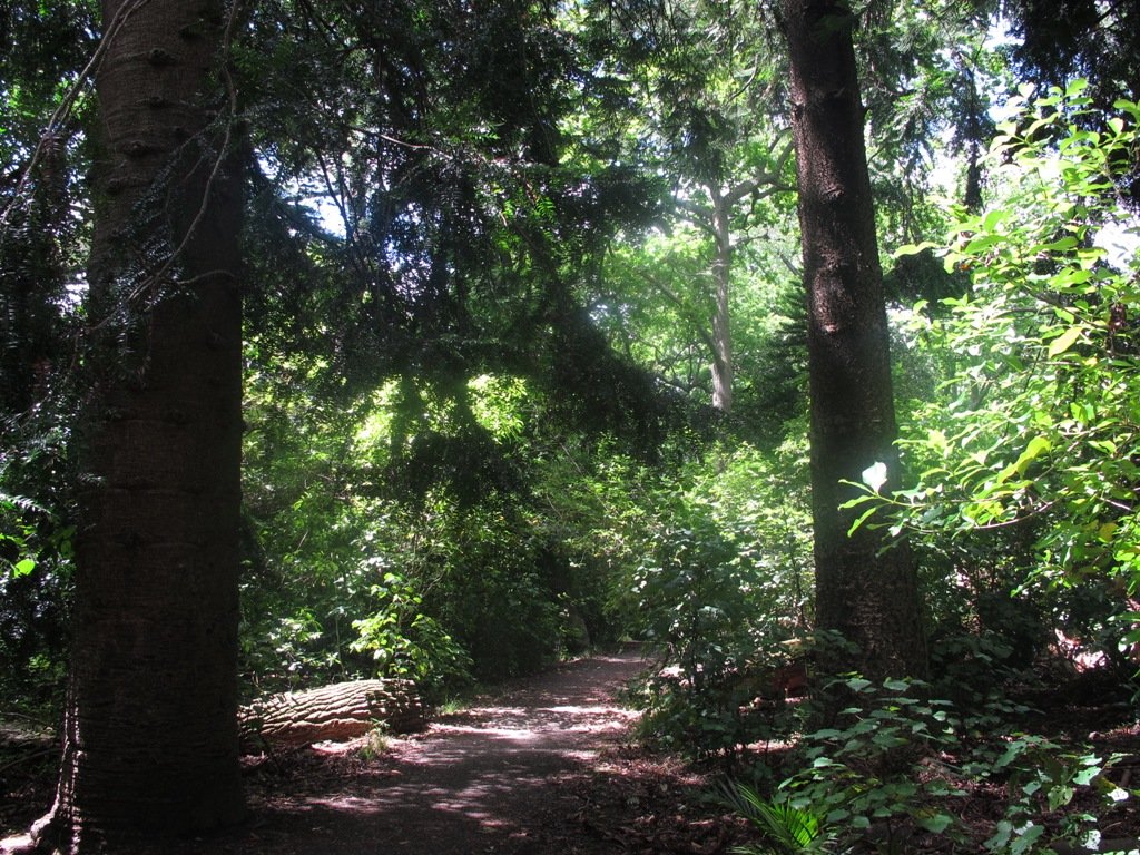
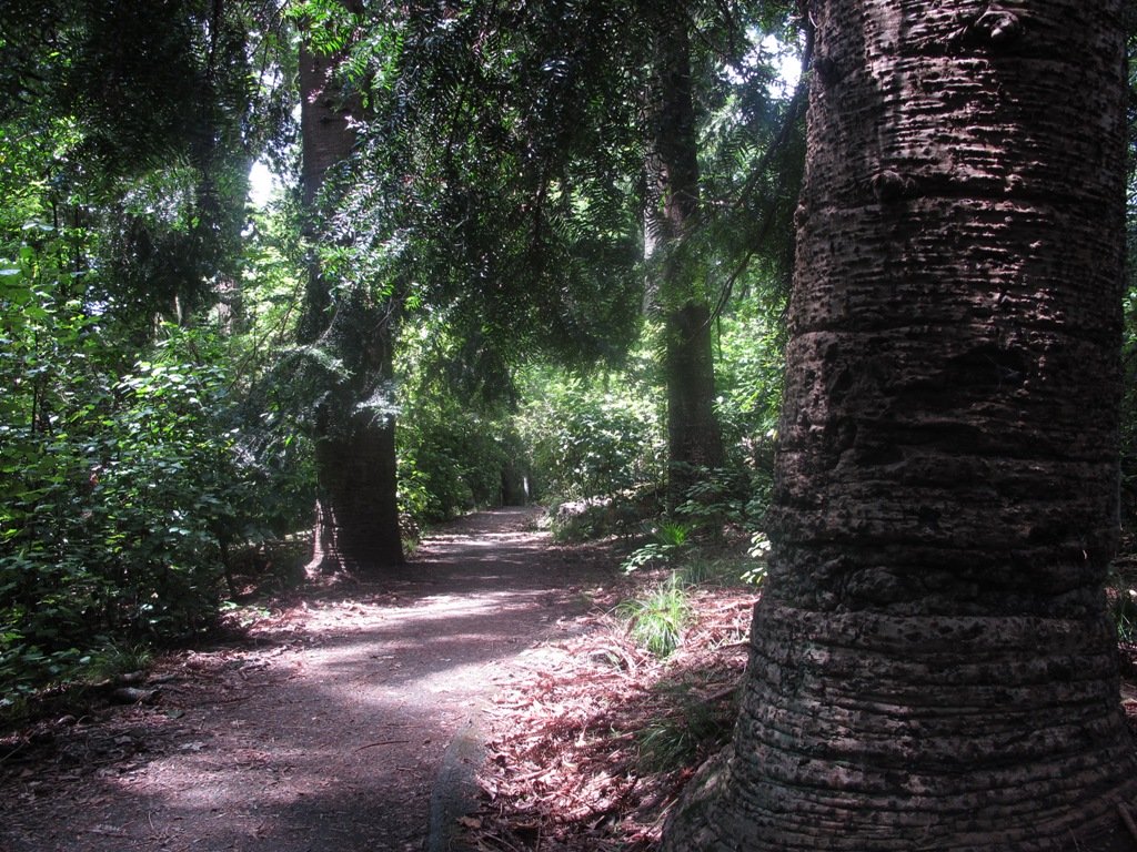
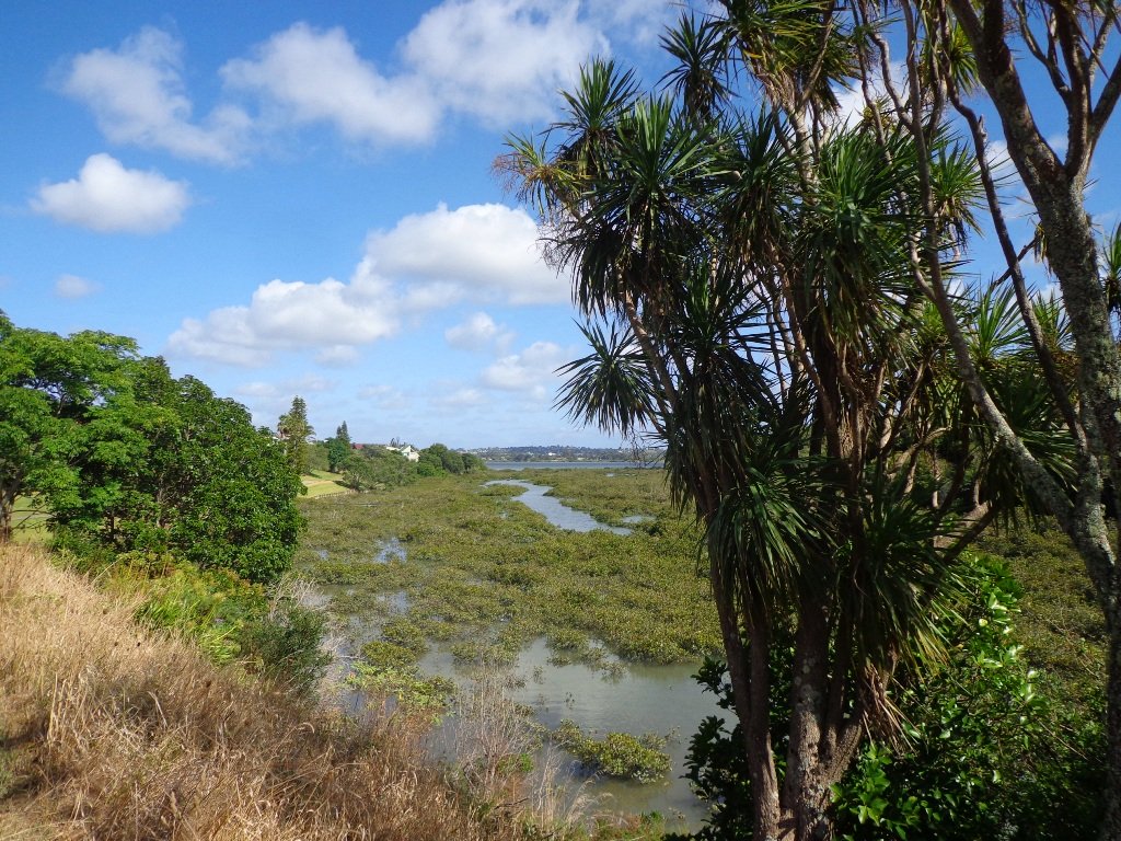
St Johns Bush is a green corridor for birds flying across Auckland.  There is a wetland area with native fish.  This area is home to over 165 different species of plants.  The kauri tree is over 150 years old.

Joining up reserves to minimise street walking is a challenge, but we are very fortunate to have so many green spaces in Auckland. Our dream is that some time in the future, the reserves will be linked together to help us commute safely by bicycle or on foot (and hopefully wheelchairs), from one area to another, minimising road use.

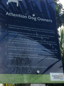
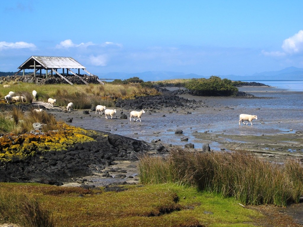
Dogs- off leash exercise area in Merton Reserve.

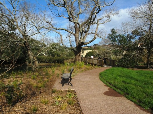
Description: A mix of level and hilly paths. Suitable for users of average fitness and mobility.
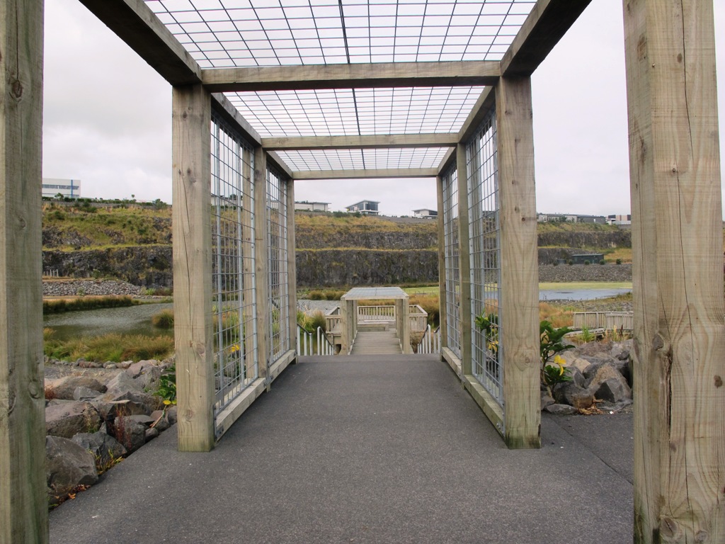
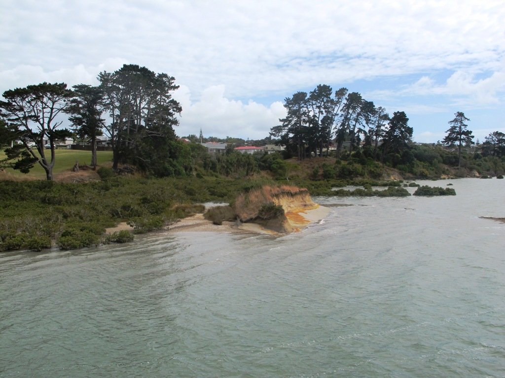
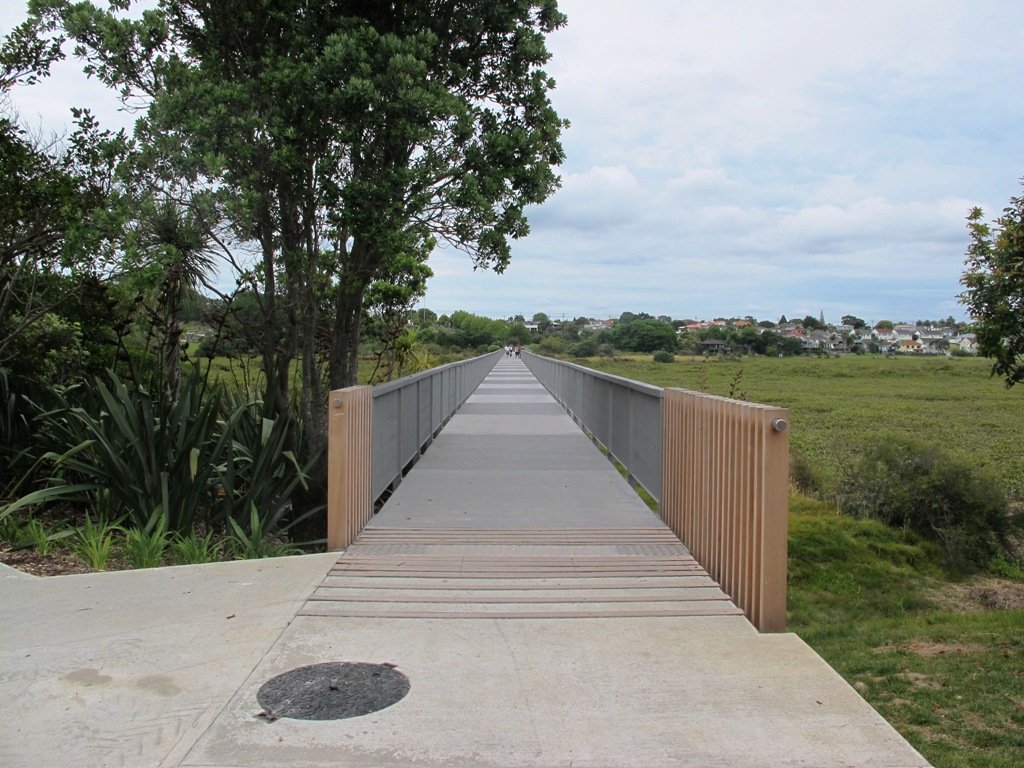
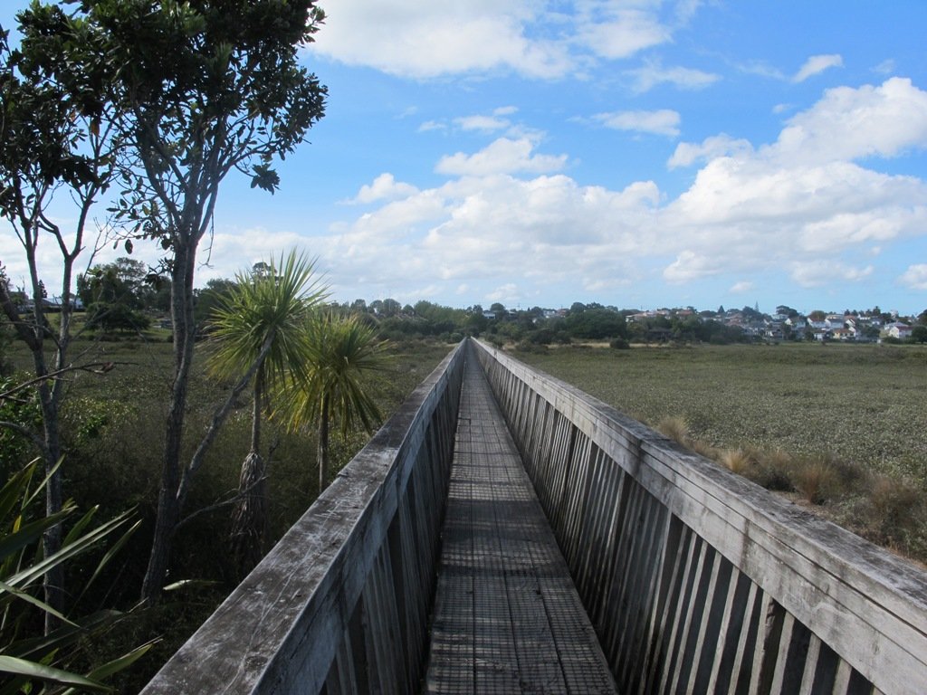
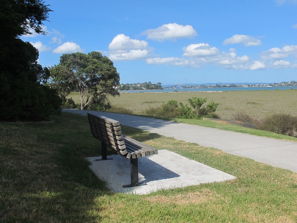
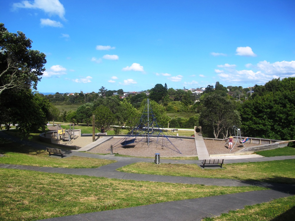
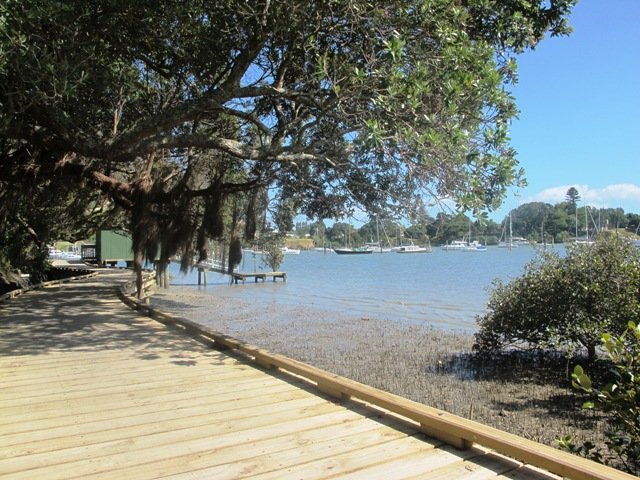
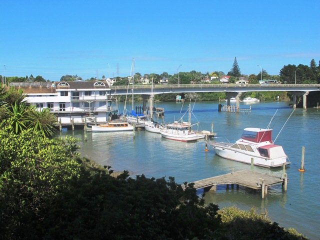
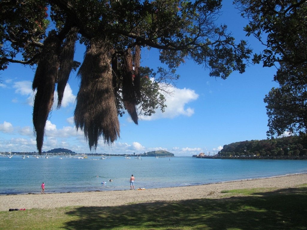
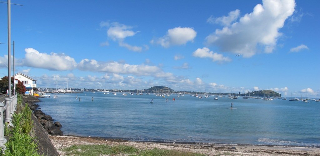
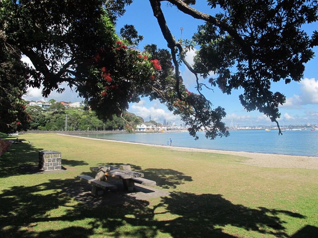
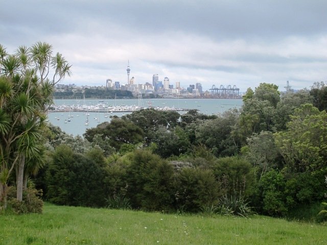
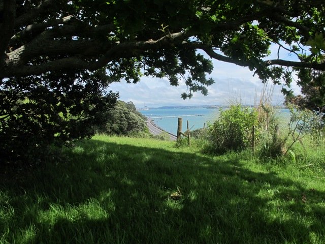
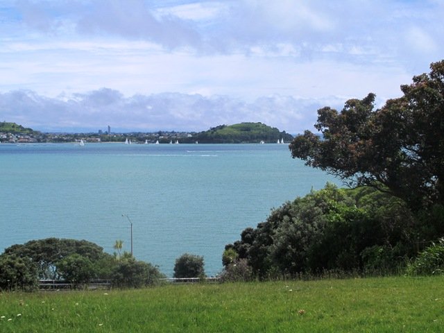
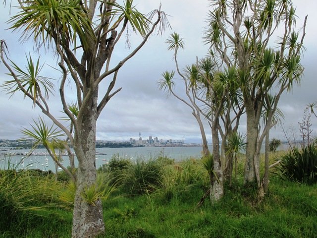
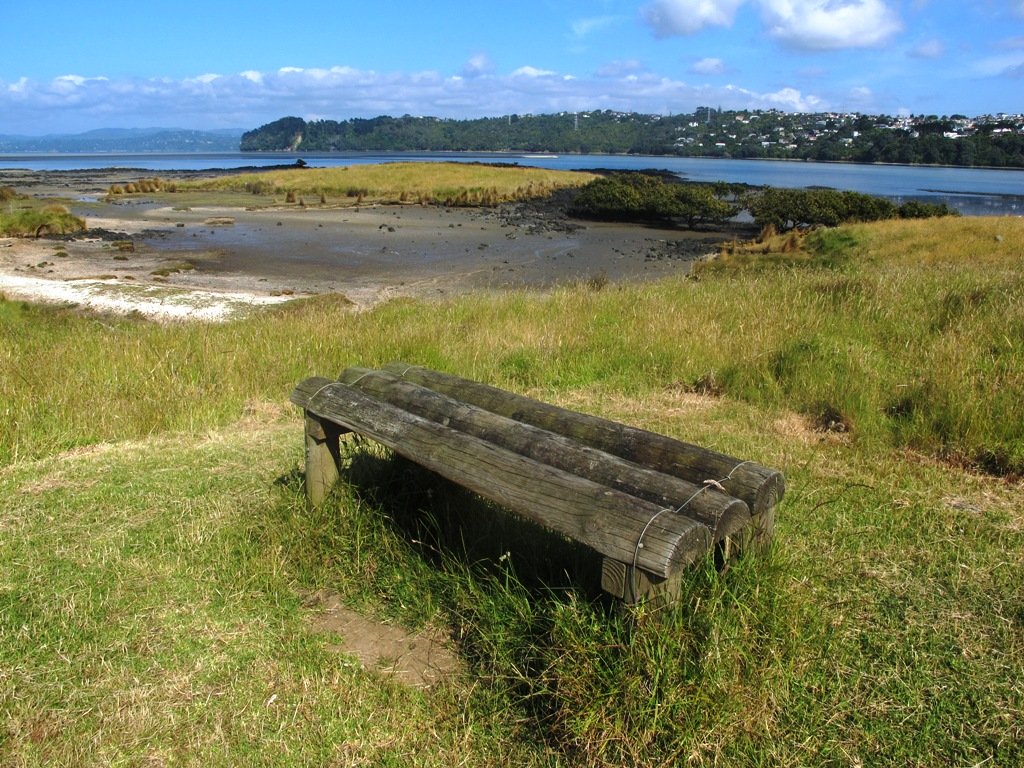
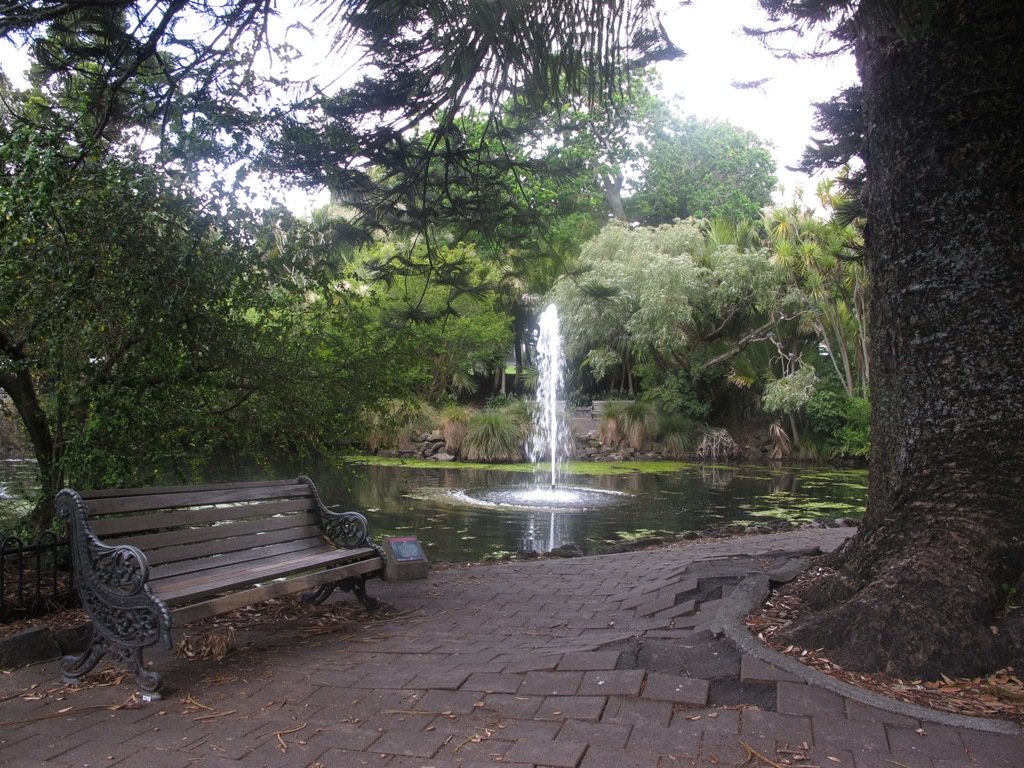
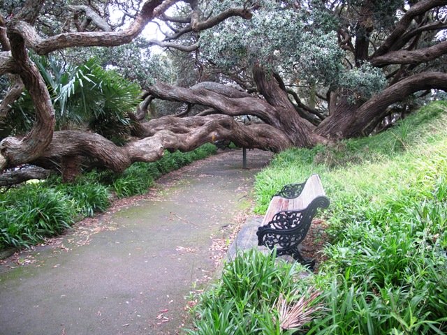
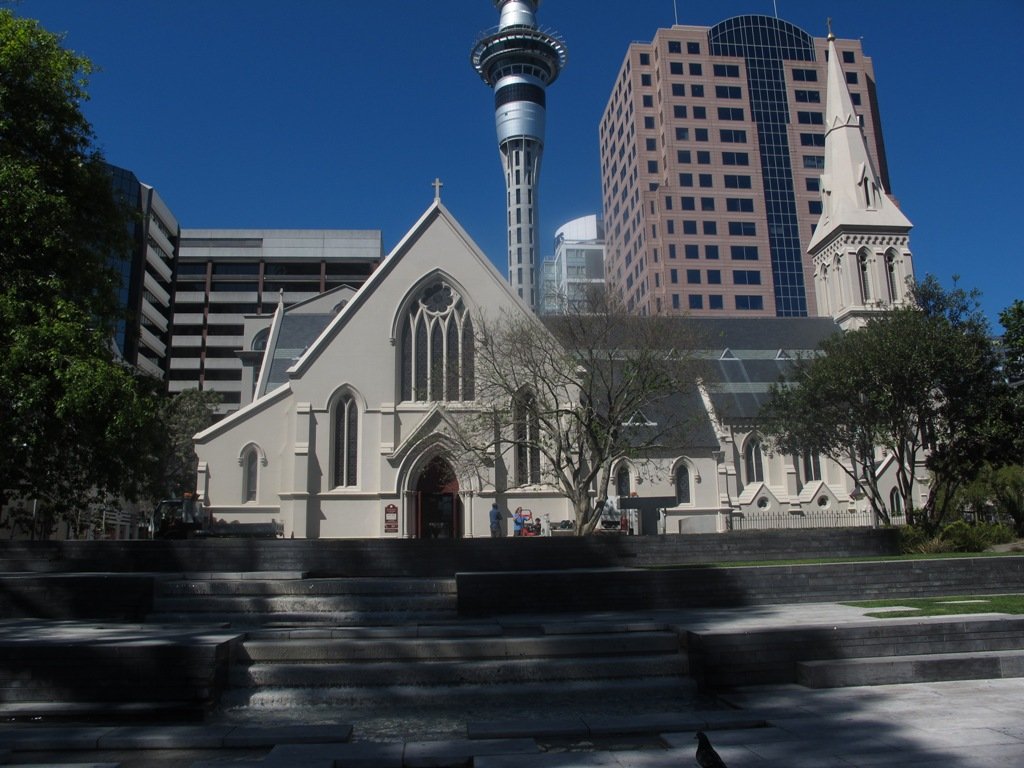
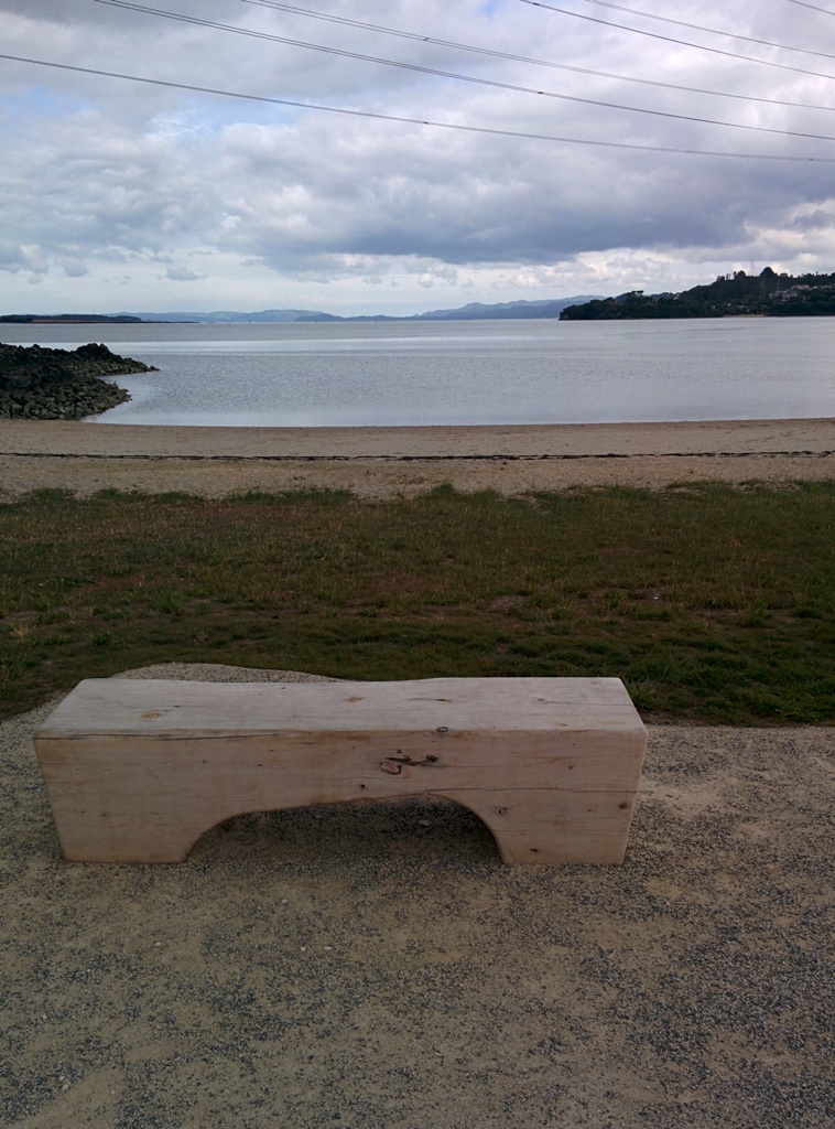
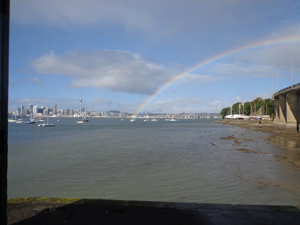
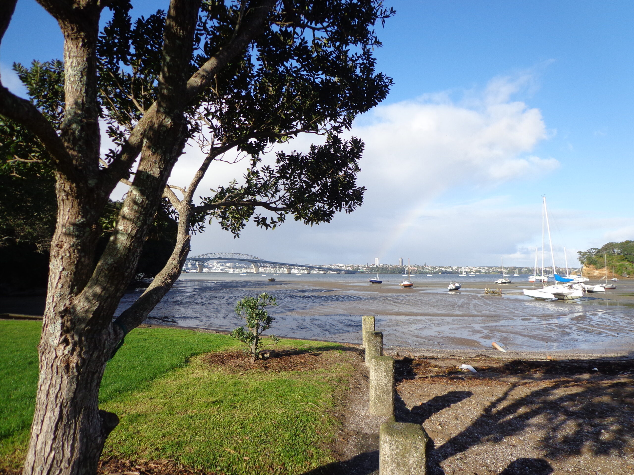
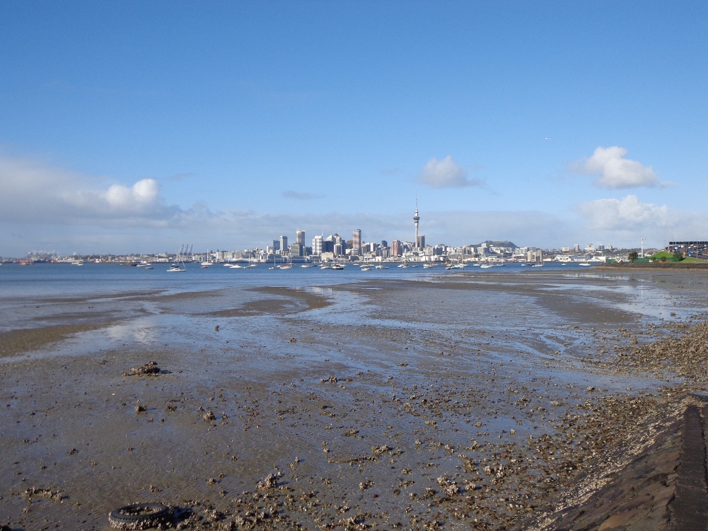
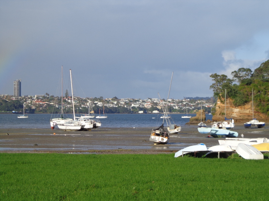
To see: St Johns Bush native trees and ferns, residential housing, reserves, horse paddocks,views of Eastern Beach and the Coromandel, city skyline view
Time: approx. 60 minutes. (about 4.5 kms)
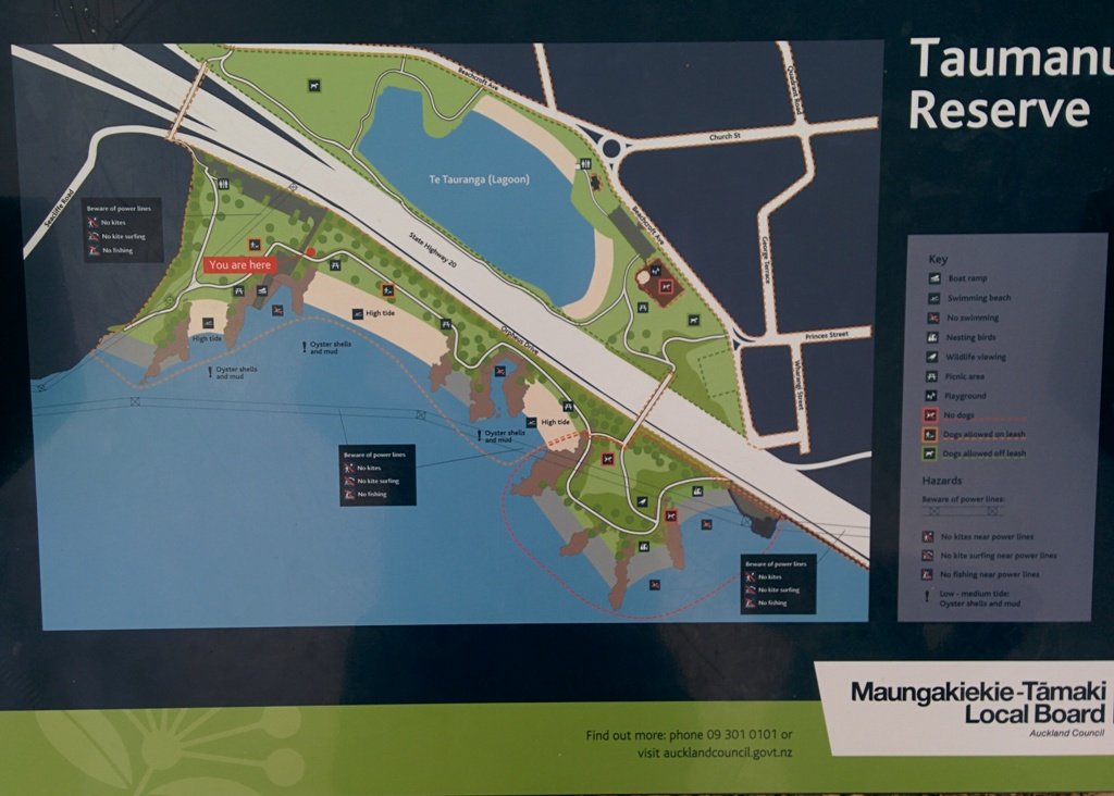
Start: Glen Innes Train Station  MAP

Stay on track…get your detailed guide and map over at our Walks Store  (AE-061 Apirana Saint Johns Loop) and our Book Store (one of 12 walks featured in our books “Dog Friendly Walks part 3” and “Best of the East”).

Saint Johns Explorer

We have previously explored St Johns Bush and wanted to incorporate the beautiful nature reserve into one of our longer circular walks.

St Johns Bush native ferns

This walk does just that, as well as passes through the reserves and playgrounds (Rutherford Reserve has a flying fox) within the suburb of Saint Johns. This walk suits adults as well as primary school age children. St Johns Bush has signposts to help us learn about the native trees and ferns.

Short Walks in Auckland: Urban Bush

Description: A mix of level and slightly hilly paths. Suitable for users of average fitness and mobility.
To see:  St Johns Bush native trees and ferns, residential housing, reserves
Time: approx. 45 minutes. (about 4.0 kms)
Dog off leash area: Allen Johnston Reserve
Start: Ipswich Place, Saint Johns  MAP

Stay on track…get your detailed guide and map over at our Walks Store  (AE-060 Saint Johns Explorer) and our Book Store (one of 12 walks featured in our books “Urban Bush” and “Dog Friendly Walks part 2”).

Mt Wellington Explorer

View of Mt Wellington

This walk around the base of the Mount Wellington volcanoe explores the Stonefields residential development, the Maungarei Springs Wetland and the businesses along Lunn Avenue. You may wish to extend the walk by heading up to the summit of Mount Wellington for views over Auckland, or explore the streets and houses of Stonefields.

The volcanic site of Mount Wellington was formed 9000 years ago.  It was used as a village by the Maori with evidence dating back 600 years ago.  Winstones Limited began quarrying stone here back in 1936—and much of the stone was used for building Auckland.  In 2001 the site was sold and is still in development as a large residential area.

Description: A mix of level and slightly hilly paths. Suitable for users of average fitness and mobility.
To see: Mount Wellington, Maungarei Springs Wetlands, re-used stone quarry (Stonefields)
Time: approx. 45 minutes. (about 4.0 kms)
Start: Mitre 10, Lunn Avenue  MAP

Stay on track…find this walk’s map and directions guide (AE-062 Mt Wellington Explorer) and other walk self-guides at our Walk Store

Point England Walk

Point England Reserve

We are not familiar with the Tamaki and Glen Innes area, so today was our first walk and explore. And we discovered beautiful Point England Reserve.  What a gem! We had no idea that there was a sandy beach here.

This walk offers great views of East Auckland and the Waitemata harbour and as the walkway passes through bush, mangroves and farmland. This route is a part of the 7.5km  Point to Point Walkway.

The walking route is also great for prams/buggies and dog walkers (on leash only).

The lack of rainfall has made the Omaru River smelly, so we do hope that will improve when it next rains.  Part of the path is in great need of maintenance.  We wonder if the local schools could adopt part of the walkway and learn how to maintain and enhance the bush and stream??? (The Omaru River is an outlet of Orakei Basin and runs underneath Meadowbank to Apirana Ave, through Maybury Reserve and out to Wai O Taiki Bay).
Update: a project was kicked off in June 2013. Read: Youth keen to save river

Description: Mostly level paths. Suitable for users of average fitness and mobility. (Take bread to feed the ducks)
To see: Estuary views, boats, wetlands, mangroves, residential housing, view of two volcanoes – Mt Wellington and One Tree Hill, Point England Reserve, Maybury Reserve feijoa trees
Time approx. 80 minutes. (about 7.0 kms)
Start: Glen Innes Train Station (or Point England Road Reserve at end of Point England Road)  MAP
Nearby Walks: Tahuna Torea, Waiaturua Reserve

Stay on track…get your detailed guide and map over at our Walks Store  (AE-059 Point England Walk) and our Book Store (one of 12 walks featured in our books “Coastal part 2” and “Best of the East”).

Belmont Bay Walk

This Belmont Bay walk on Auckland’s North Shore, was chosen by my friend after she read an inspiring article about the founder of the Belmont cafe “Little & Friday“.

View of Auckland Harbour Bridge from Belmont

This was my first explore around the Belmont and Bayswater area and was delighted to find reserves, cycleways, playgrounds and views of the Harbour Bridge with the Waitakere Ranges as a back drop.

The walk itself takes under an hour, and is mostly flat. One of the highlights is crossing the Bayswater Bridge (the new cycle/pedestrian bridge completed September 2013 – officially opened 5th October 2013, made with recycled totara timber balustrades).

Dogs – On-leash but lots of opens spaces.

Coastal walks in Auckland part two

Description: A mix of level paths and slightly inclined paths. Suitable for users of average fitness and mobility.
To see: Estuary views, wetlands, residential housing, Auckland Harbour Bridge

Time: approx. 45 minutes. (about 4.00 kms). Playgrounds.

Start: Corner Eversleigh Road & Rutherford Street  MAP

Stay on track…get your detailed guide and map (AN-058 Belmont Bay Walk) over at our Walks Store  and our Book Store (one of 12 walks featured in our books “Coastal part 2” and “Dog Friendly part 1”).

Pakuranga Loop walk

Part of our Pakuranga Loop Walk is along the  Pakuranga Rotary Walkway which currently extends to Pigeon Mountain, along the Tamaki Estuary and Whakaaranga Creek. 

Pakuranga walkway

It is a safe cycling, jogging and walking route. The walkway is paved and relatively flat, making it suitable for wheelchairs, pushchairs and a range of fitness levels. The walkway along the estuary is safe for family cycling.

dog off leash sign - Copy

The walking route is also great for prams/buggies and dog walkers (on leash). There is an off leash dog exercise area
along the Pakuranga Rotary Walkway between the Panmure Bridge and Waakaranga Reserve which permits dogs off-leash under the owners control. This is a huge off leash walk but most people do not know about. This sign can be found at the entrance to the walkway at Kerswill Place. See Auckland Council dog rules.

These flat river plains were used to grow oats, hay and wheat up until the 1950’s.   Pakuranga was then known as “the granary of Auckland”.

This walk section looks into the mouth of the Panmure Lagoon from the opposite bank.

Description: A mix of level paths and slightly inclined paths. Suitable for users of average fitness and mobility.
To see:  Estuary views, boats, wetlands, residential housing,  Mt Wellington, Pakuranga Mall
Time: approx. 40 minutes. (about 3.75 kms)
Start: Pakuranga Mall  Map

Stay on track…find this walk’s map and directions guide (AE-057 Pakuranga Loop) and other walk self-guides at our Walk Store

Click on the photos below to view in full screen.

Mission Bay to Okahu Bay Loop

The loop walk in Auckland from Mission Bay to Okahu Bay takes in the views of Auckland Harbour from the M J Savage Memorial Park (the Auckland Explorer Bus stops here) and the Bastion Point Marae.  The bright sunshine and blue skies today, enhanced the scenes.

Mission Bay Auckland NZ

Mission Bay is a great little seaside village that always seems to have a buzz with it’s cafes, restaurants, harbour promenade, famous fountain and sandy beach.

Okahu Bay has a sandy beach and on the other side of Tamaki Drive is the Orakei Domain.  The Domain has an extensive children’s playground that includes a flying fox.

You may wish to linger at the Michael Joseph Savage (first Labour Prime Minister of New Zealand and the founder of the welfare state) Memorial Park which overlooks Auckland Harbour.

Description: A mix of level paths and steep paths/steps. Suitable for users of average fitness and mobility. May require boots in wet weather, running shoes suitable in dry weather. Caution: part of the walk  is a grassy track.

Coastal walks in Auckland part two

To see:  Auckland City views, Waitemata Harbour views, Orakei Wharf, MJ Savage Memorial, Bastion Point.
Time: approx. 50 minutes (about 4.55kms)
Start: Mission Bay Reserve or MJ Savage Memorial carpark

Stay on track…get your detailed guide and map brochures over at our Walks Store  (AC-018 Mission Bay to Okahu Bay Loop) and our Book Store (one of 12 walks featured in our book “Coastal part 2”).

Ambury Park Farm Walk

The walk around Ambury Park Farm is a fun, family friendly excursion. Close to Mangere Bridge Village, nestled on the foreshores of Manukau Harbour, with Mangere Mountain as the back drop, it is steeped in volcanic history and it’s intertidal mudflats form a birdwatchers wetland paradise. (We sighted many pukeko running about today).

Ambury Park Farm is named after Stephen Ambury, an English Immigrant who farmed in this area. Mr Ambury produced the first shipment of butter to leave New Zealand for the United Kingdom.

Ambury Park Farm


The farm itself has varied animals that young and old always enjoy. (A friend of mine, Robyn P Murray has written beautifully illustrated children’s books about Roger the Rooster and The Spirit of Cameron including other animals in residence at Ambury Park Farm).

On a hot day, be sure to have hats, sunblock and drinks on hand. There are picnic tables and benches throughout the Park.

The walking route is also suitable for mountain buggies.

If you enjoy cycling, there is an easy grade 7km mountain bike track (WaterCare Coastal walkway map) which takes you from Ambury Park Farm to Otuataua Stonefields Historic Reserve.

A fun place to take the whole family. Animals to see and pet (feed the new lambs in August), volcanic history, shore birds, picnic spots…You could spend half the day doing the walk and visiting the farm, have lunch in Mangere Bridge Village and then explore Mangere Mountain.

Other Mangere WalksMangere Bridge to Onehunga LoopMangere MountainMangere Esplanade Loop

Nearby places to visit: Watercare Coastal walkwayAmbury Regional ParkVilla Maria Winery and cafeButterfly Creek,  Otuataua Stonefields historic reserve , Mangere Strawberry and Vegetable Farm @ 127 Kirkbride Road.

Description: Mostly level paths across farmland and along gravel tracks. Suitable for users of average fitness and mobility. Suitable for mountain bikes. Sturdy shoes recommended.
To see: Manukau Harbour, Mangere Mountain, farm land and animals, shore birds, Ambury Park Farm
Time: approx. 60 minutes. (about 5.25 kms)
Start: Ambury Park Farm car park MAP

Download the map of Ambury and devise your own route or

Stay on track…get your detailed guide and map (AS-056 Ambury Park Farm Loop) over at our Walks Store   and our Book Store (one of 12 walks featured in our books “Coastal part 1” and “Best of the South”).

Hobson Bay Walkway Loop

Visitors to Auckland can  catch a train from Britomart to Orakei, and enjoy a walk along the Hobson Bay Walkway with views of three volcanoes – North Head, Mt Victoria and Rangitoto Island.  This walk in Auckland along the Hobson Bay Walkway also takes you up higher through the streets of Remuera with views of the Sky Tower, the Holy Trinity Cathedral and Auckland Museum. (You can also begin this walk from the car park at Martyn Wilson Fields Reserve.)

Hobson Bay Walkway with views of the 3 volcanoes.

Auckland Council has done a wonderful job  on the stormwater upgrade at the Martyn Wilson Reserve – we have been waiting months for this to be completed so that we could document this walk.

Other things to see on this walk are the shore birds that live in the mangrove swamps and creeks at the edge of Hobson Bay. Today we saw pukeko, herons, shags and ducks.  There are two children’s playgrounds and a dog off-leash area. The track can be a bit wet and muddy in places after rain.

For more photos visit our Facebook Page

The Martyn Wilson Reserve is opposite Palmers Garden Centre which houses Cafe Greenfingers.  This popular cafe is now en-route for this and two other of our walks:

1) Orakei Basin Walkway
2) Remuera to Hobson Bay

Description: A mix of level paths, steps and slightly inclined paths. Suitable for users of average fitness and mobility. May require boots in wet weather, running shoes suitable in dry weather.
To see: Volcano Views, shore birds, residential housing, mangroves, boardwalk
Time: approx. 60 minutes. (about 4.7 kms)
Start: Marytn Wilson Fields Reserve Map

Coastal part 2

Stay on track…get your detailed guide and map (AC-051 Remuera and Hobson Bay Walkway) over at our Walks Store   and our Book Store (one of 12 walks featured in our book “Coastal part 2”).

Britomart to Auckland Museum Loop

Last weekend in Albert Park, we met a couple from California who were trying to find their way to walk to the Auckland Museum from the city. So thanks to them, we have another walk in Auckland!

Auckland Museum

We decided to start the walk at Britomart, but of course, you can start walking from any point along the loop.


The mini-tour walk takes in the Auckland Domain, Albert Park, Queen Street, Chancery Lane, Vulcan Lane, High Street, and old Government House.

Description: A mix of level paths, steps and slightly inclined paths. Suitable for users of average fitness and mobility. May require boots in wet weather, running shoes suitable in dry weather.

To see: Auckland City views, Rangitoto Island view, City Lanes, Albert Park, Old Government House, Auckland Domain, Wintergardens, Museum

Time: approx. 60 minutes. (about 5.6 kms)
Start: Britomart Place MAP

For a refreshment break we suggest Cafe Columbus at the rear of the Museum or the Wintergarden Cafe near the Winter Gardens and duck pond.

Stay on track…find this walk’s map and directions guide (AC-048 Britomart to Auckland Museum Loop) and other walk self-guides at our Walk Store

Onehunga Foreshore – Taumanu

We began our walk today with a route in mind, starting off from Onehunga Train Station. But as we progressed we changed our mind and found a walk that neither of us had done before, taking in part of Onehunga’s foreshore (as of November 2015 Taumanu Reserve).

View of Mangere Mountain from Onehunga Foreshore. The Foreshore has since been turned into Taumanu Reserve.

The walk follows the edge of the Onehunga Bay Reserve and then the edge of Manukau Harbour along Orpheus Drive. In summer, I would expect to see more shore birds. Even though the walk passes through part of the industrial area of Onehunga, it is still interesting.

This mostly flat walk can be accessed from Mangere Village also.

Onehunga Bay Reserve has a great wide open space (off leash dog exercise area) for dogs to run around in, and, at high tide, a lagoon to swim in. At low tide it is an esturine mud flat full of stinky, black mud (gumboots required in winter/after rain in the reserve itself). Cycle paths and a children’s playground included.

UPDATE 2013/2014:
Auckland Council is “currently restoring the foreshore next to Orpheus Drive to bring back a natural coastal edge and create recreational opportunities for the community. The project will provide high-quality open space, beaches, a boat ramp and picnic areas. A new bridge will connect the new land to the Onehunga lagoon.” (source www.aucklandcouncil.govt.nz)
Video: Secrets of New Zealand’s new $28m beach

To see: views of Mangere Mountain, shore birds, Onehunga Wharf, mangroves, Waikaraka cemetery, industrial area, reclaimed beach at Taumanu Reserve.
Time : approx. 60 minutes. (about 5.77 kms)
Children’s Playgrounds: Onehunga Bay Reserve
Dogs: Off leash area in Onehunga Bay Reserve (caution: muddy after rain). Dogs not allowed within Taumanu Reserve.
Start from: Princes Street, Onehunga MAP

Coastal walks in Auckland part two

We stopped off at The Library Cafe for refreshments. There is a Columbus Cafe on the corner of Onehunga Mall and Princes Street.

Stay on track…get your detailed guide and map over at our Walks Store  (AC-046 Onehunga Foreshore Loop) and our Book Store (one of 12 walks featured in our books “Coastal part 2” and “Dog Friendly Walks part 3”).

Pigeon Mountain and the Wetlands Loop Walk

Pigeon Mountain in the suburb of Half Moon Bay is another of Auckland’s volcanoes.  The mountain was originally three times its present size but its two craters have been quarried away to provide scoria. It is called Pigeon Mountain because in early European times, native pigeons called ‘kereru‘ used to live here.

Walks in Auckland
View from Pigeon Mountain

You can walk to the top of Pigeon Mountain and from the summit there are great views of Tamaki Estuary and Wakaaranga Creek Reserve mangroves, whilst below are boardwalks that cross over wetlands that house nests for the pukeko bird.

Follow the link to the Google Map of Pigeon Mountain and the associated  Wetlands walk.  We also have a second walk option for these areas here. 

Follow this link for the Short walks In Auckland alternate Pigeon Mountain Walk.

walks in Auckland

The nearby mangrove edged Wakaaranga Creek has good paths for wheels.  And there is a cool long slide in a playground that is worth checking out. Because most of this walk is in a bird reserve, dogs must be kept on-leash. However if you choose to follow the 5km Pakuranga Rotary walkway, there are several areas for off-leash exercise between the Pakuranga Sailing Club and Wakaaranga Reserve. This is a mostly flat walk if the walk to the summit of Pigeon Mountain is omitted.

Be aware that some pathways between houses and roads are iron bar chicanes that make it more difficult for wheelchairs, prams and cycles using the path.

Description: A mix of level paths, steps and slightly inclined paths. Suitable for users of average fitness and mobility. May require boots in wet weather, running shoes suitable in dry weather.
To see: Auckland City views, Rangitoto Island views, Volcano summit, wetlands, Pukeko birds habitat.
Time: approx. 75 minutes. (about 6 kms). Allow extra time to walk to the summit of Pigeon Mountain.
Start from: Gills Road just off Pigeon Mountain Road MAP

Stay on track…get your detailed guide and map over at our Walks Store  (AE-033 Pigeon Mountain and the wetlands) and our Book Store ( one of 12 walks featured in our books “Volcanoes” and “Best of the East”).

Northcote Point and Auckland Harbour Bridge

Walks in Auckland

I felt like a tourist in my home city this morning! The morning was stunning after last night’s opening of the Rugby World Cup 2011. The skies were blue and the water still in the harbour, with just a little mist left around the edges. I had not explored Northcote Point before (it would have been a fine vantage point for the previous night’s fireworks display).

We had not prepared a route – it was a discovery walk and we were well rewarded. Views of Auckland City. Dwarfed by the pylons of the Auckland Harbour Bridge. A new-found path along the motorway. And an interesting mix of old and new residential homes. Plus children’s playgrounds as a reward for children. All made for a fun walk.

Download the Council’s Heritage walk brochure here.

Description: A mix of level paths and steep paths/steps. Suitable for users of average fitness and mobility.
To see: Auckland City views, Waitemata Harbour views, Harbour bridge foundations.  See if you can spot Mt Eden, Mt Victoria and the Chelsea Sugar Refinery.
Time: approx. 70 minutes. (about 5.85 kms).

Coastal walks in Auckland book (part 1)

Stay on track…get your detailed guide and map  (AN-021 Northcote Point Loop) over at our Walks Store and our Book Store (one of 12 walks featured in our book “Coastal part 1”).

Spectacular views from Mt Victoria Devonport

walks in Auckland

Today was clear and sunny, which called for a walk and climb to look over Auckland from up high from Mount Victoria. Mt Victoria provides spectacular views – it is higher than North Head and closer to Auckland City. This walk has a dog friendly off-leash area. (See other Dog Friendly Walks) And Devonport’s village-style shops and cafes is always a great place to visit and walk around. It’s fun to arrive in Devonport by ferry. And you could spend the whole day there – spend half the day at North Head and the other half at Mt Victoria with a lunch and shop browse in-between…..

Description: A mix of level paths, steep paths and steps.  Suitable for most ages and levels of fitness and mobility, designed with flat shoes or running shoes in mind. Not suitable for wheelchairs and pushchairs.
To see: Wonderful views of Rangitoto, Hauraki Gulf and Auckland City, historical buildings.  Mount Cambria Reserve – A volcanic cone that is now a park, having been quarried away for roading, garden walls and ship’s ballast. Victoria Picture Palace/Theatre – built in 1912, oldest cinema in NZ. Fort Mt Victoria and the Disappearing Gun. St Francis De Sales Catholic Church, St Paul’s Presbyterian Church, Devonport Cemetery
History: https://www.devonport.co.nz/heritage.htm
Time: approx. 60 minutes. MAP

12 Volcano Walks

Suggested Cafés: 1) Along King Edward Parade 2) Many in Devonport Village 3) Five Loaves@ 29 Church St

Stay on track…get your detailed guide and map  (AN-020 Mt Victoria Loop) over at our Walks Store and our Book Store (Volcanoes).

More: Devonport Walks and Trails 

Mission Bay – walking in the rain

Walks in AucklandIt was a big decision today, do we do the Mission Bay walk this morning, this afternoon, tomorrow… The weather was looking grim and the weather forecast even grimmer. We decided – this morning. It rained on and off, there was a bit of blue sky, and the coffee at De Fontein was very good!

Mission Bay buzzes on sunny summer bays with lots of activity in the water, the foreshore and the cafes. It was still busy today with people braving the rain because it was not that cold. What is there to do in Mission Bay? Click here.

This walk takes you along the short beach promenade and up on the clifftops overlooking Hauraki Gulf and the city skyline. You do have to look out for cyclists when you walk along the shared pathway.

Walks in AucklandMission Bay has a great choice of cafes, eateries (Japanese, Indian, Mexican, Italian…) and one special ice-cream parlor! Meet your friends by the fountain and enjoy the fresh salt air by the harbour.


Description: A mix of level paths, steep paths and steps. Suitable for most ages and levels of fitness and mobility, designed with flat shoes or running shoes in mind. Not suitable for wheelchairs and pushchairs.
To see: Wonderful views of Rangitoto, Hauraki Gulf and Auckland City.
Dogs: On leash only. Children’s Playground=Yes
Start Point: Tamaki Drive, Mission Bay

Stay on track…find this walk’s map and directions guide (AC-018 Mission Bay Loop) and other walk self-guides at our Walk Store

Suggested Cafés: Various along Tamaki Drive
(the coffee is very good at De Fontein – reviewed here)