Tag Archives: Map And Directions

Takapuna to Milford Loop Walk

Copyright 2011-2013 Unleashed Ventures Limited

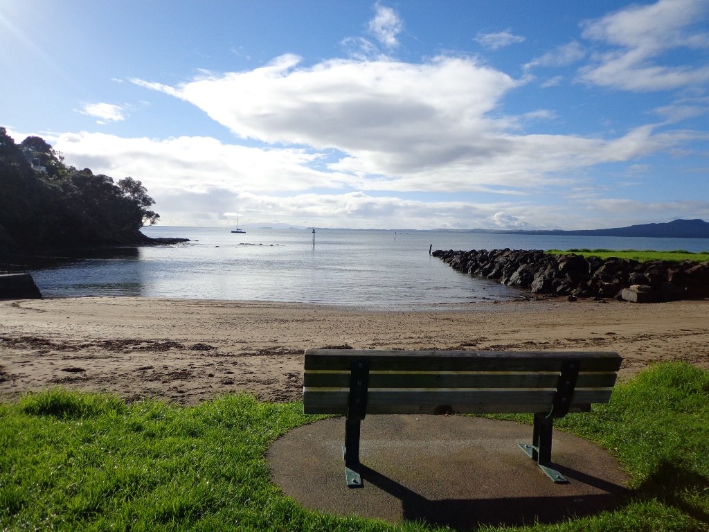
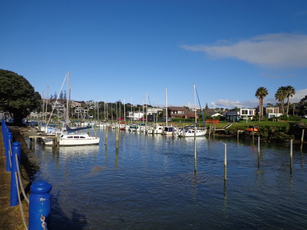
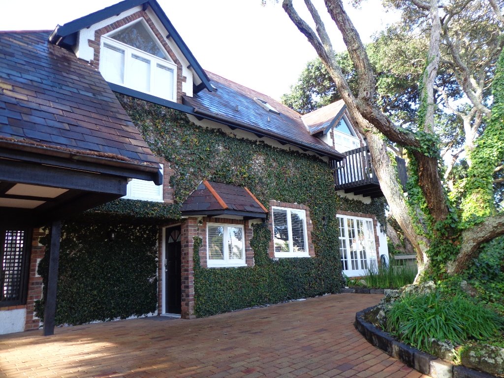
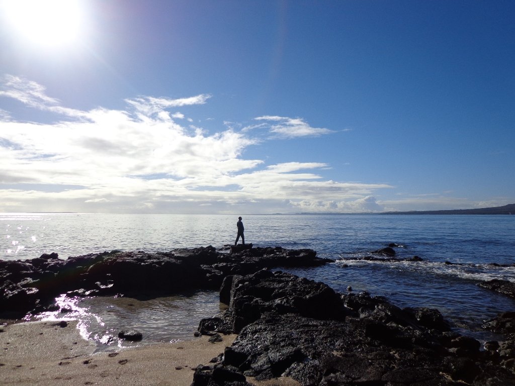
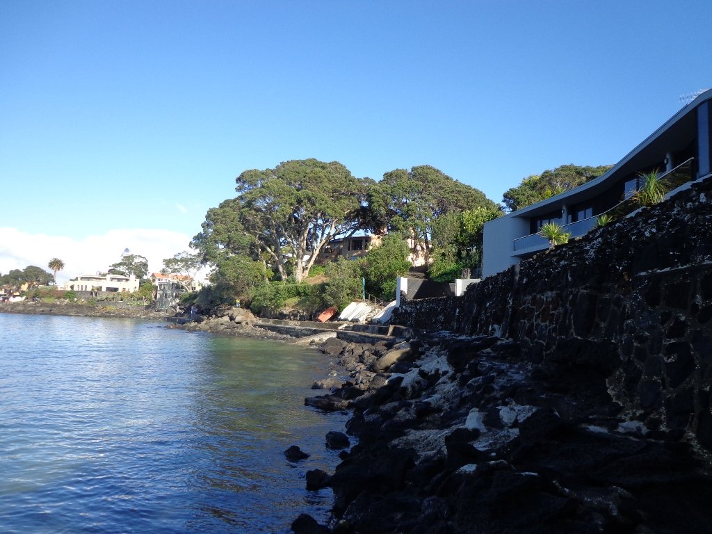
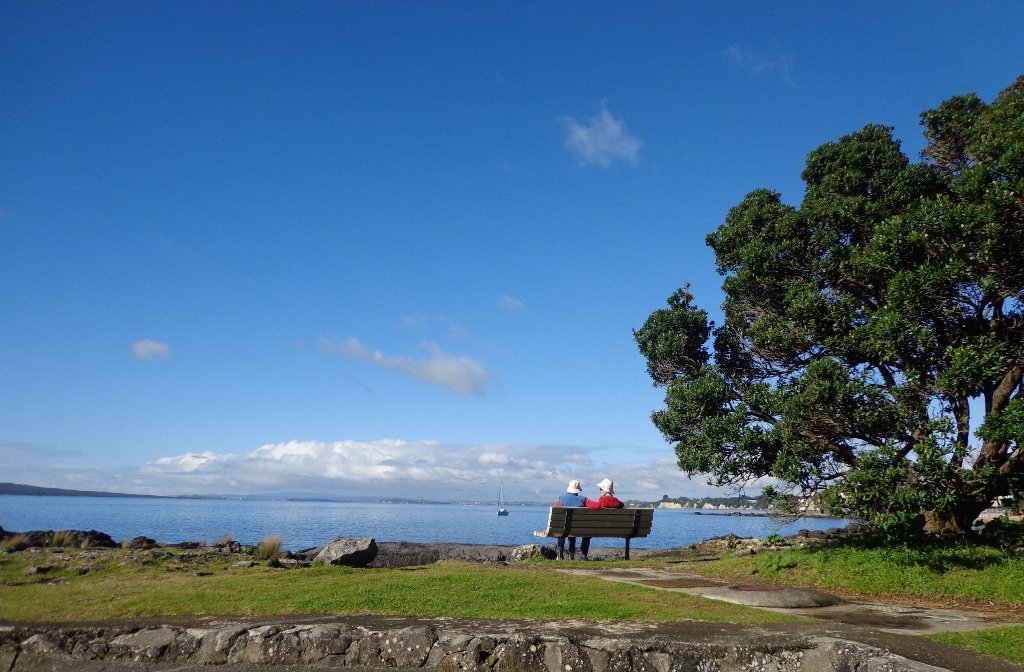
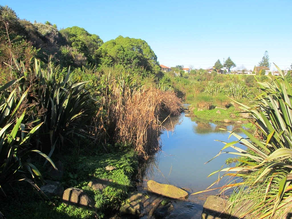
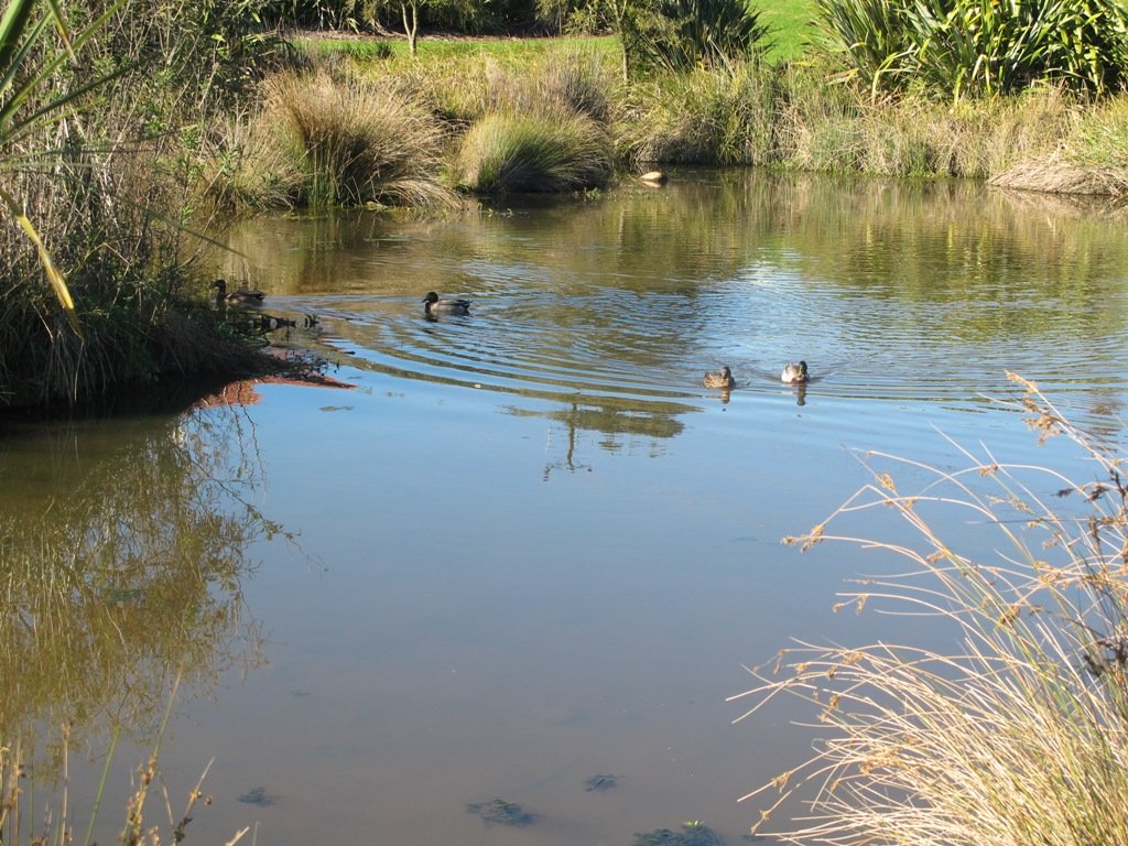
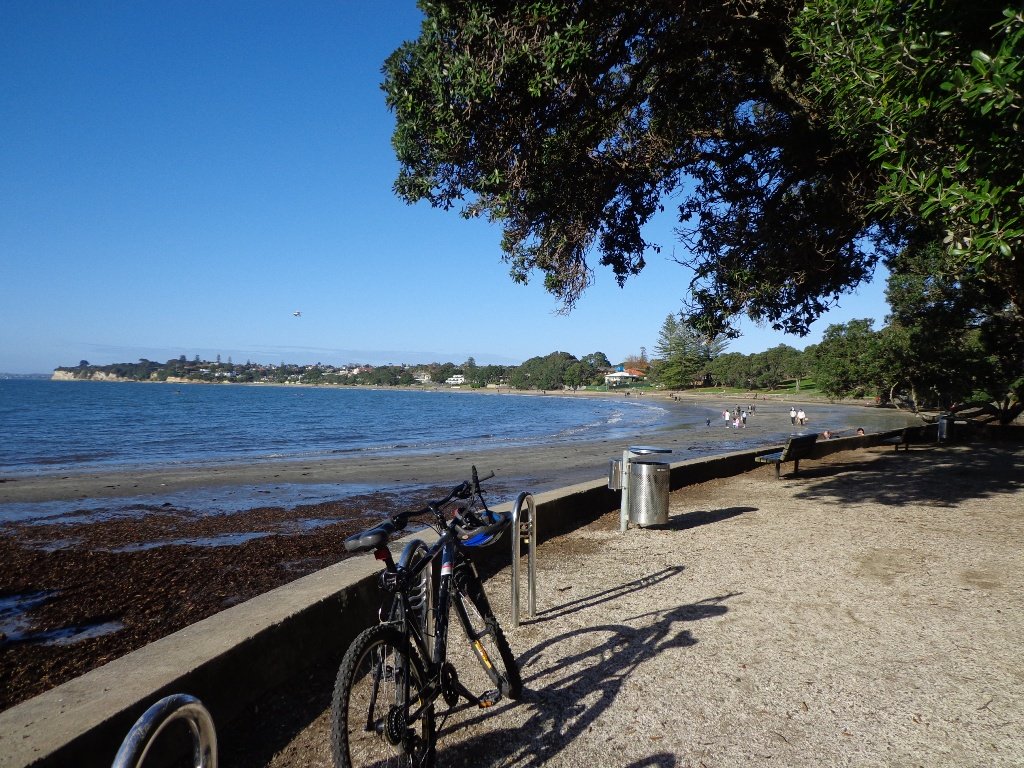
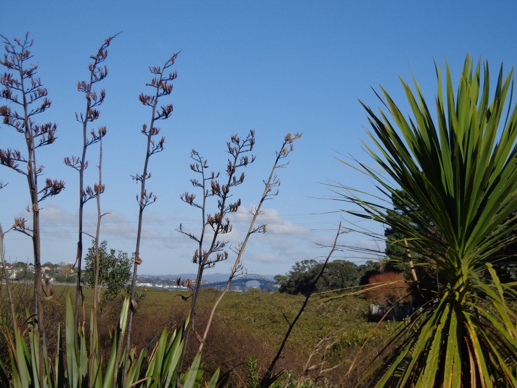
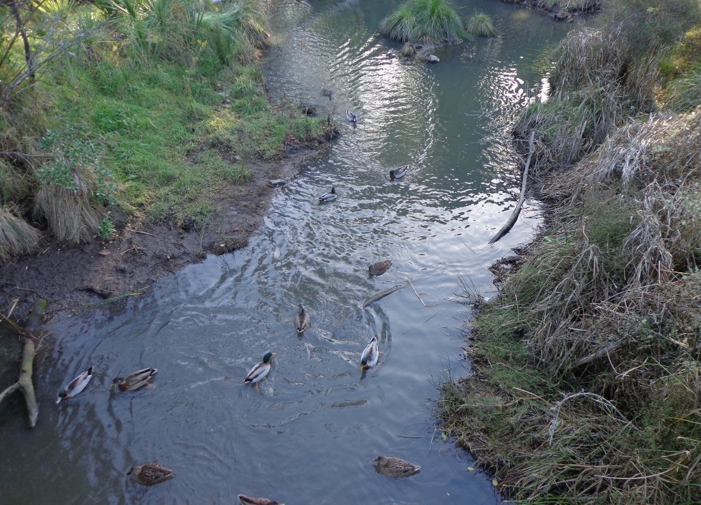
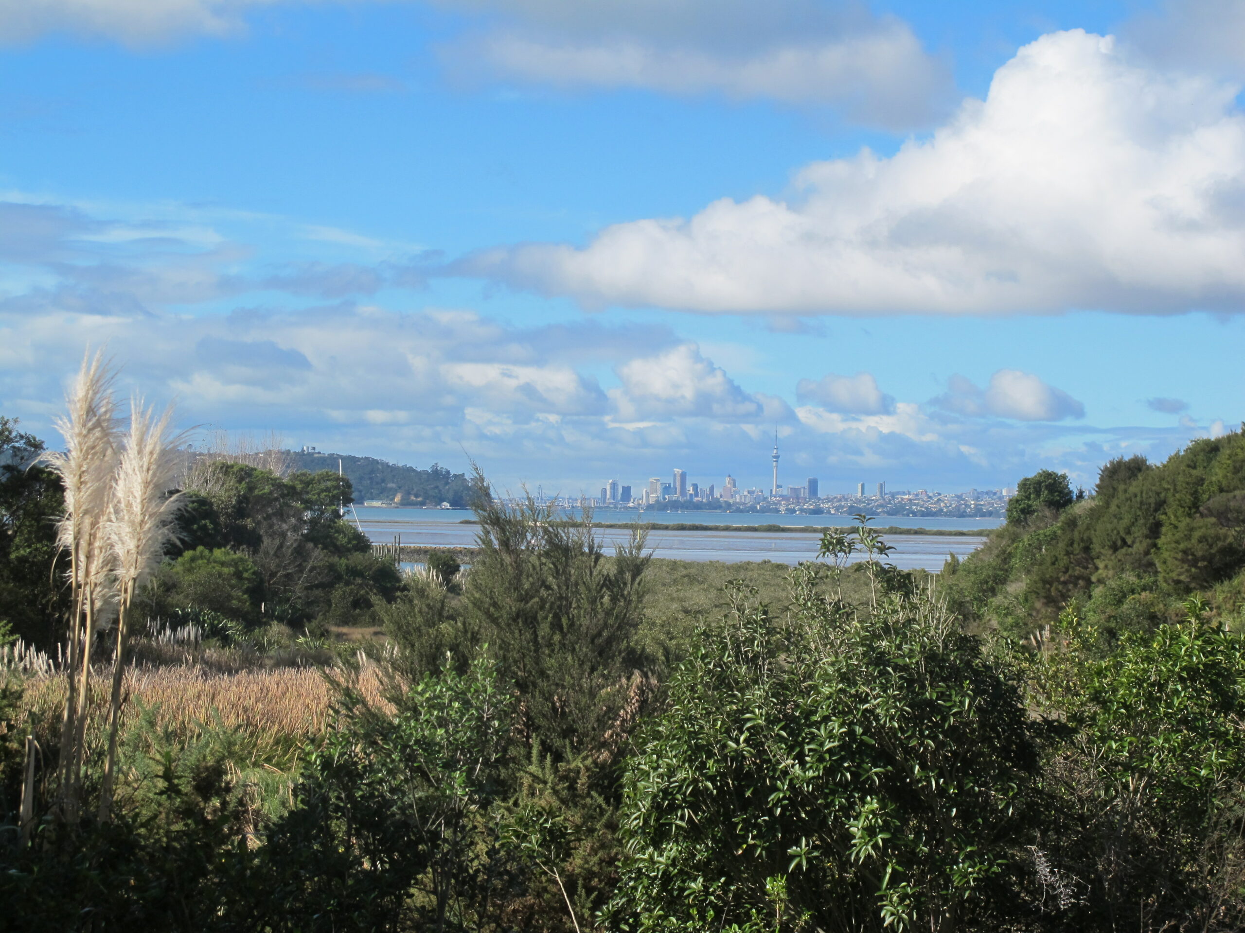
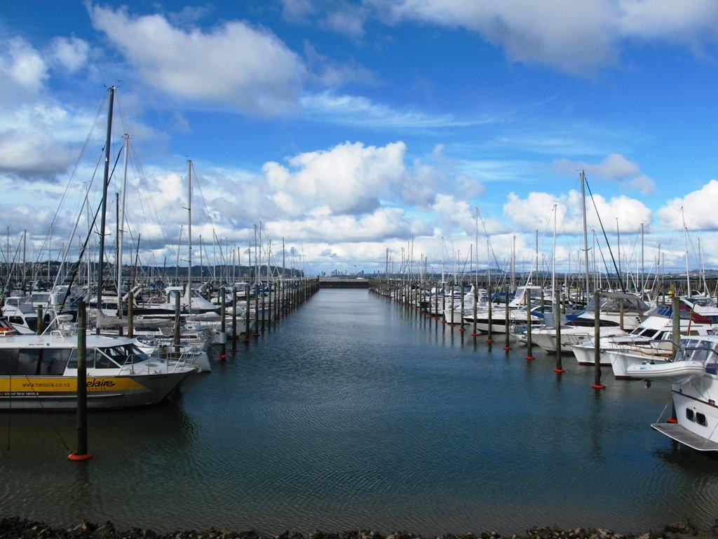
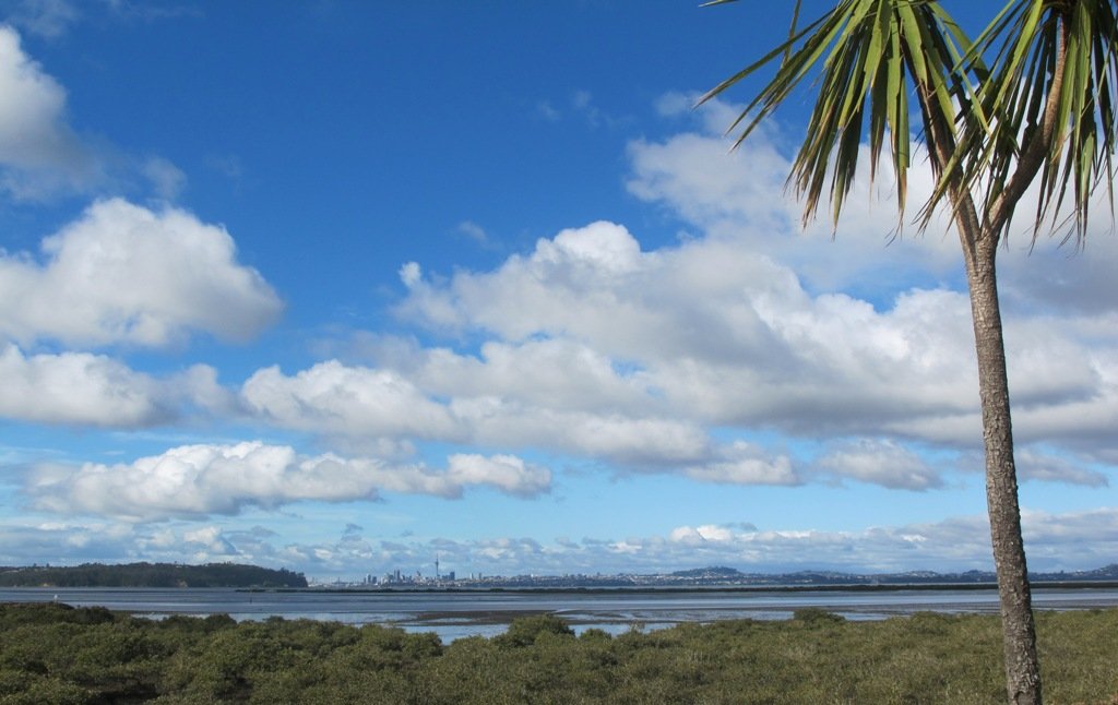
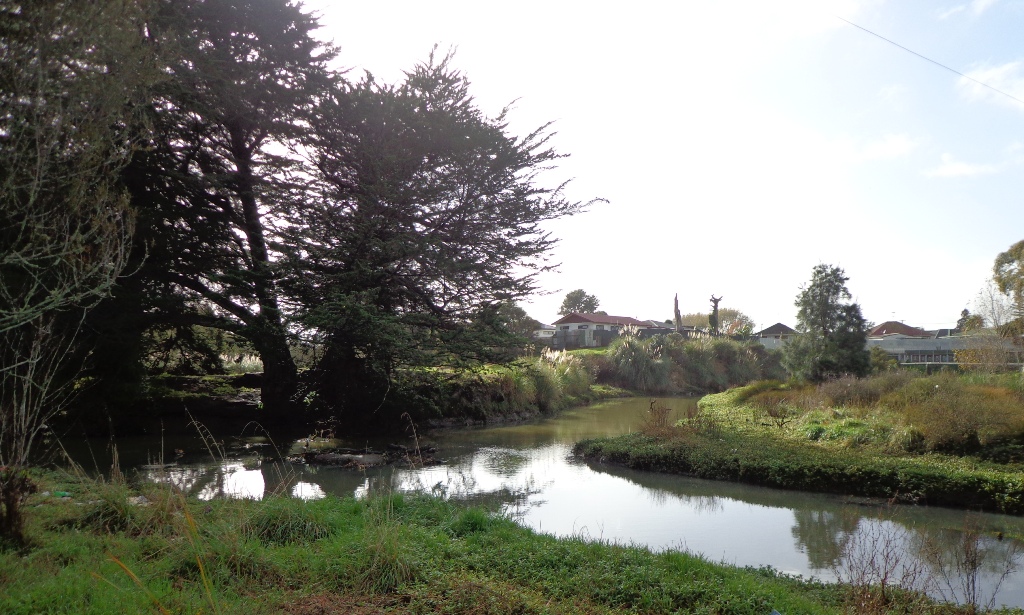
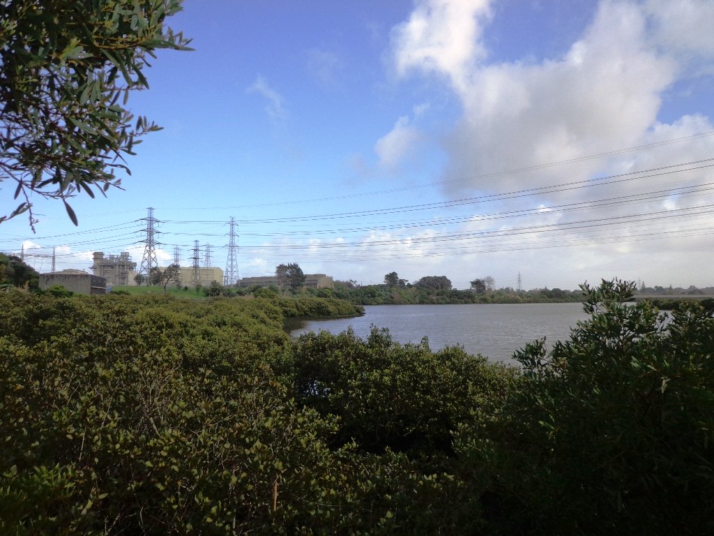
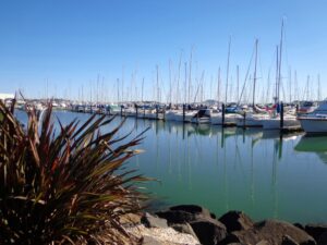
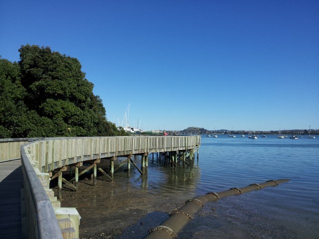
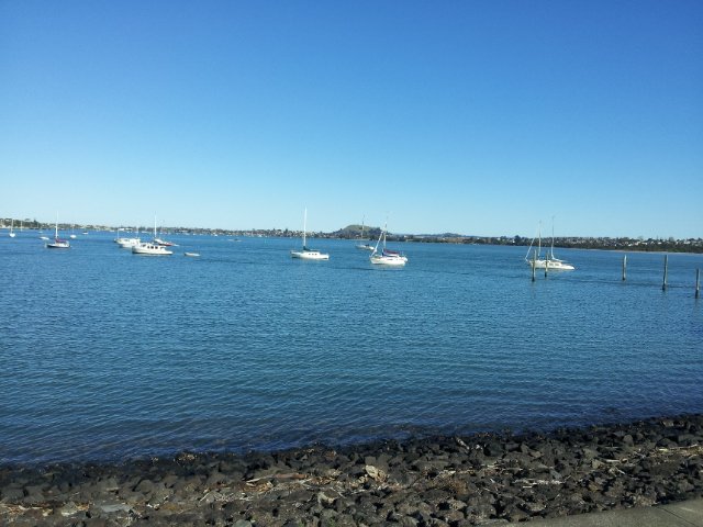
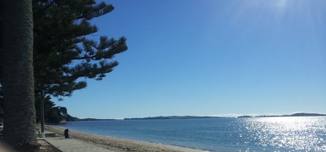
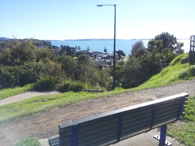
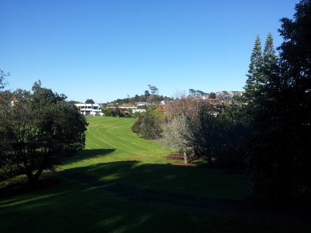
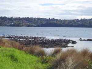
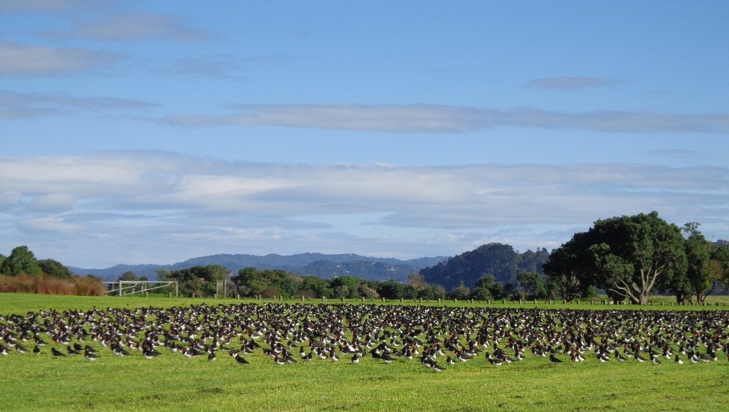
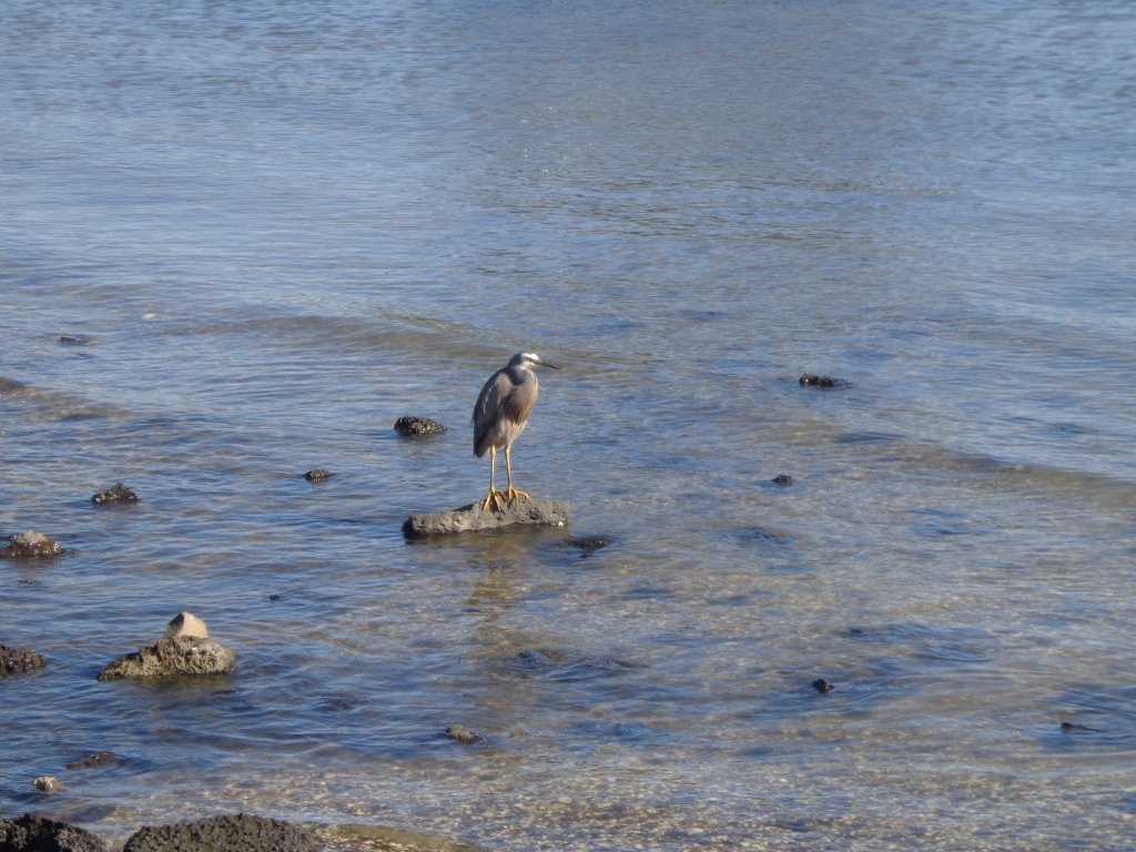
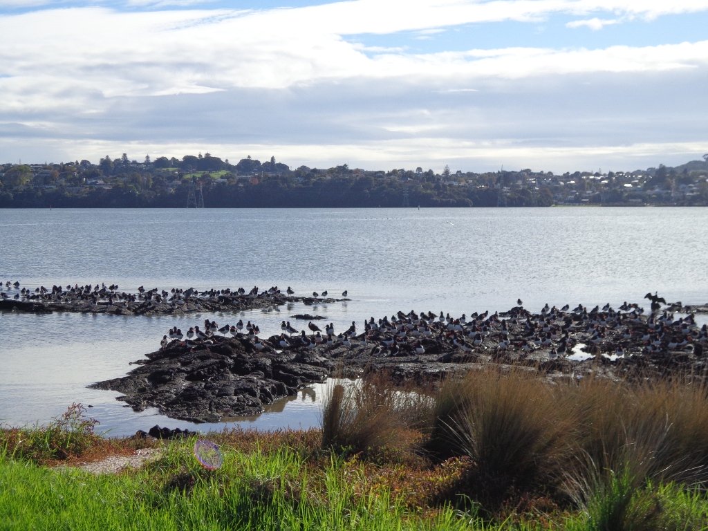
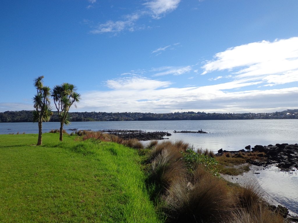
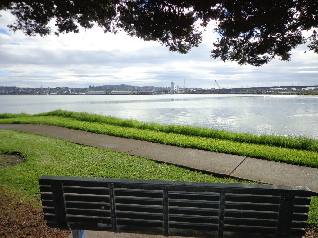
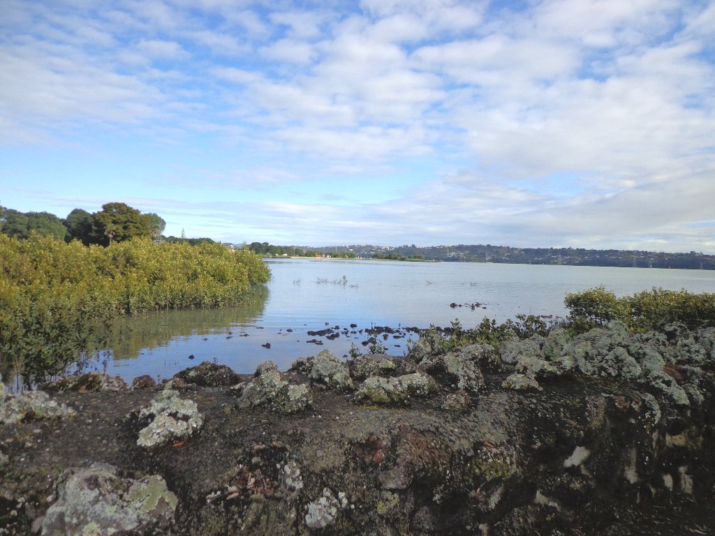
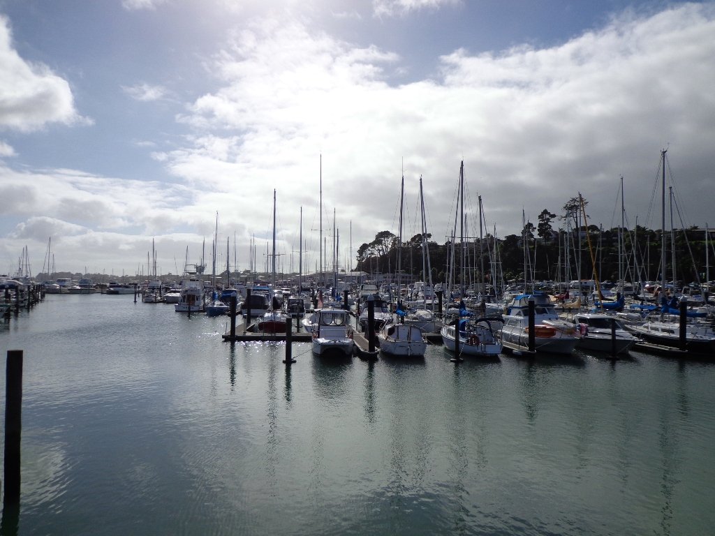
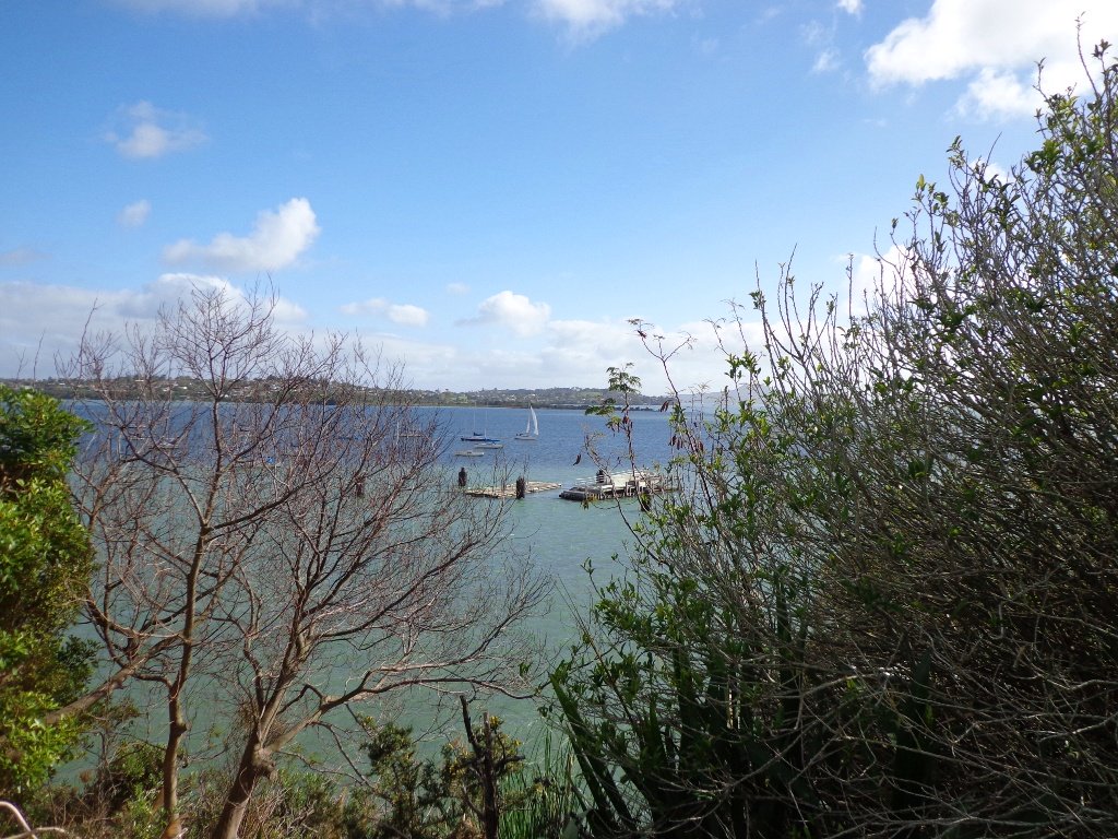
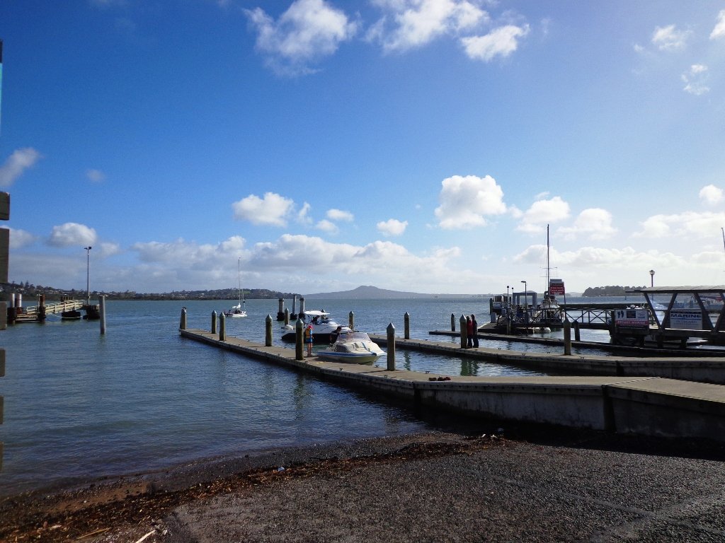
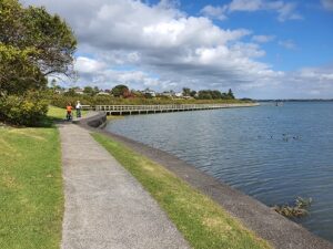
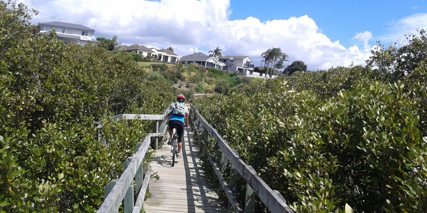
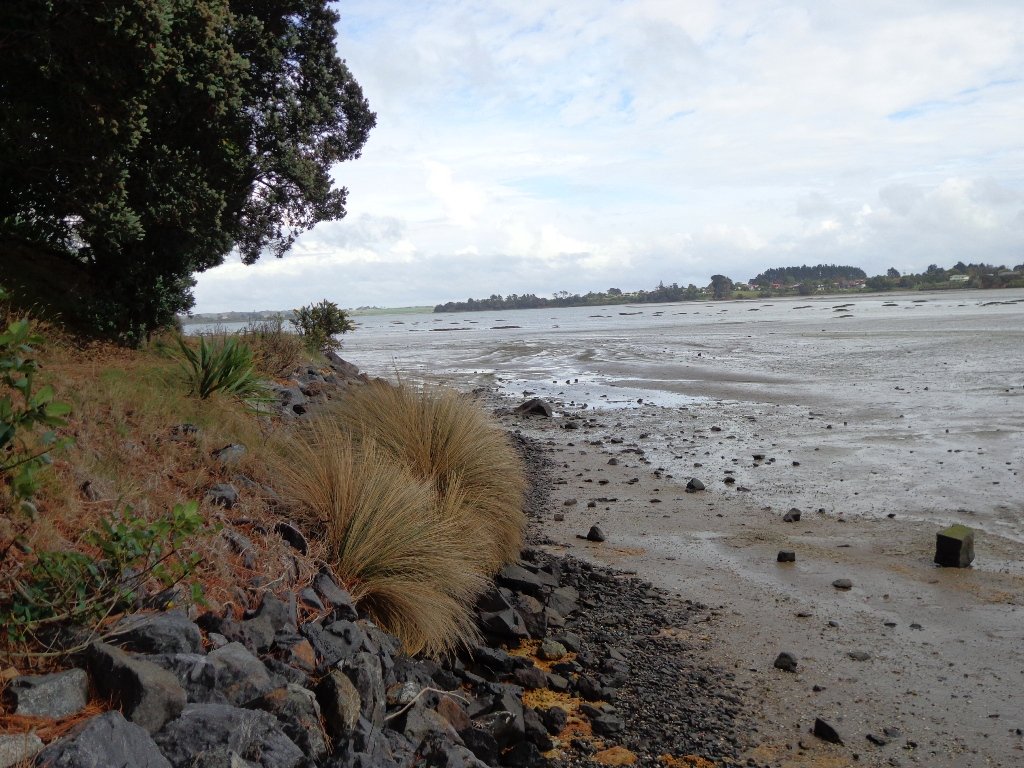
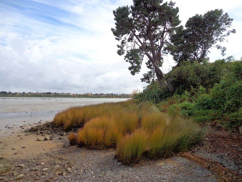
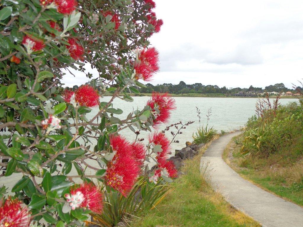
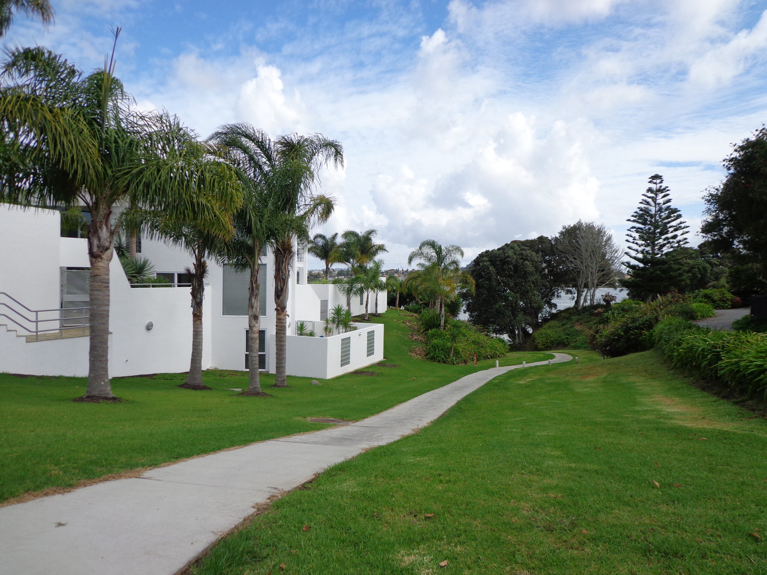
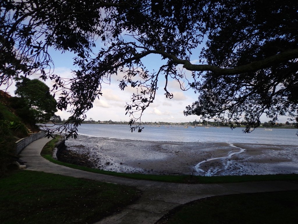
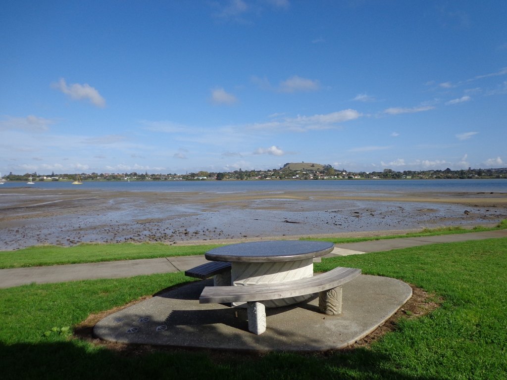
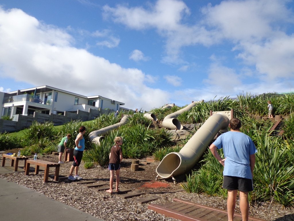
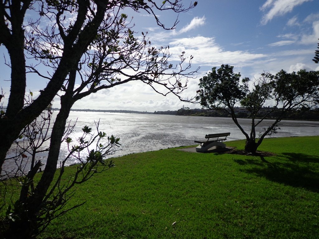
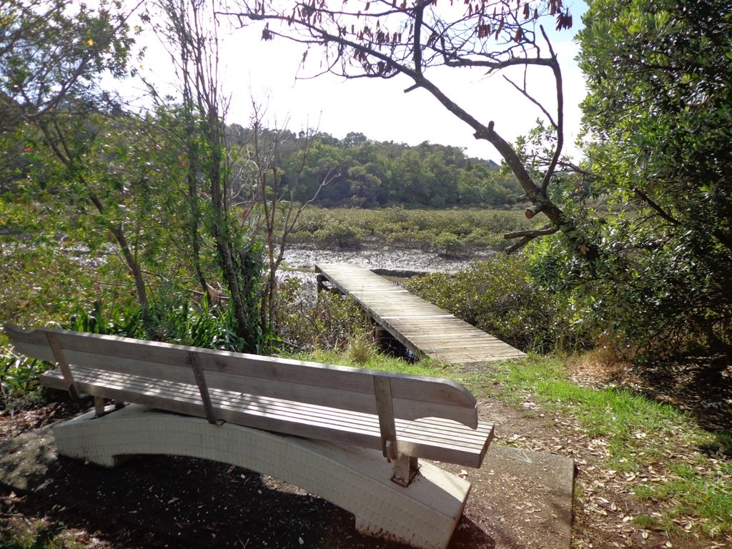
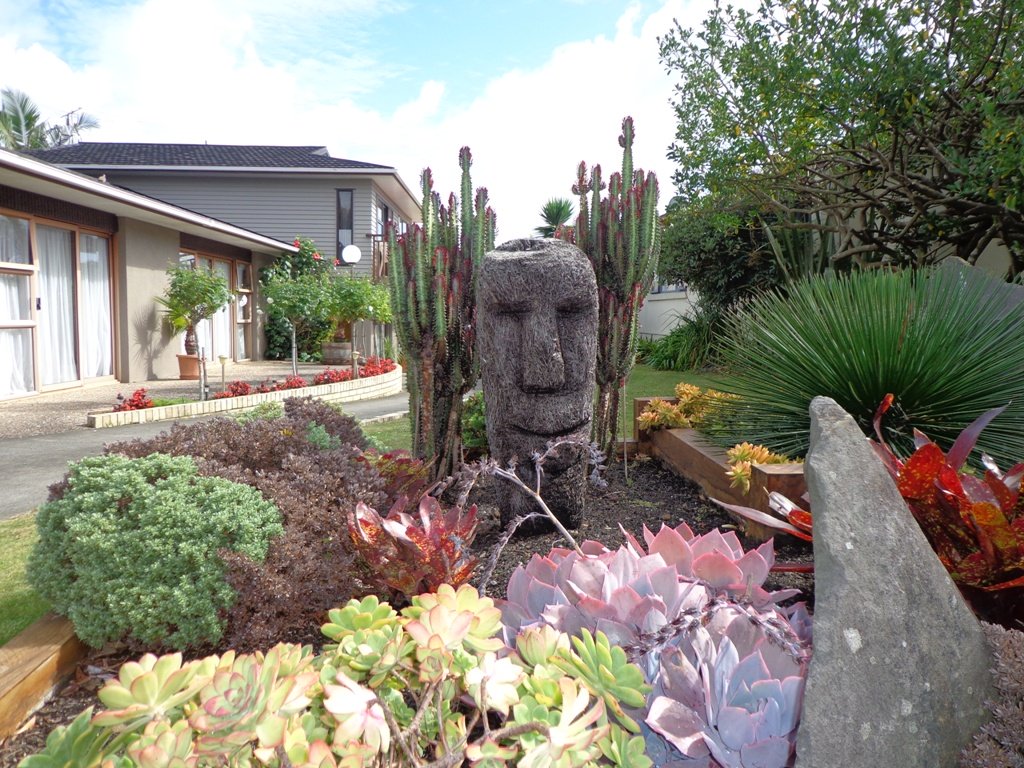
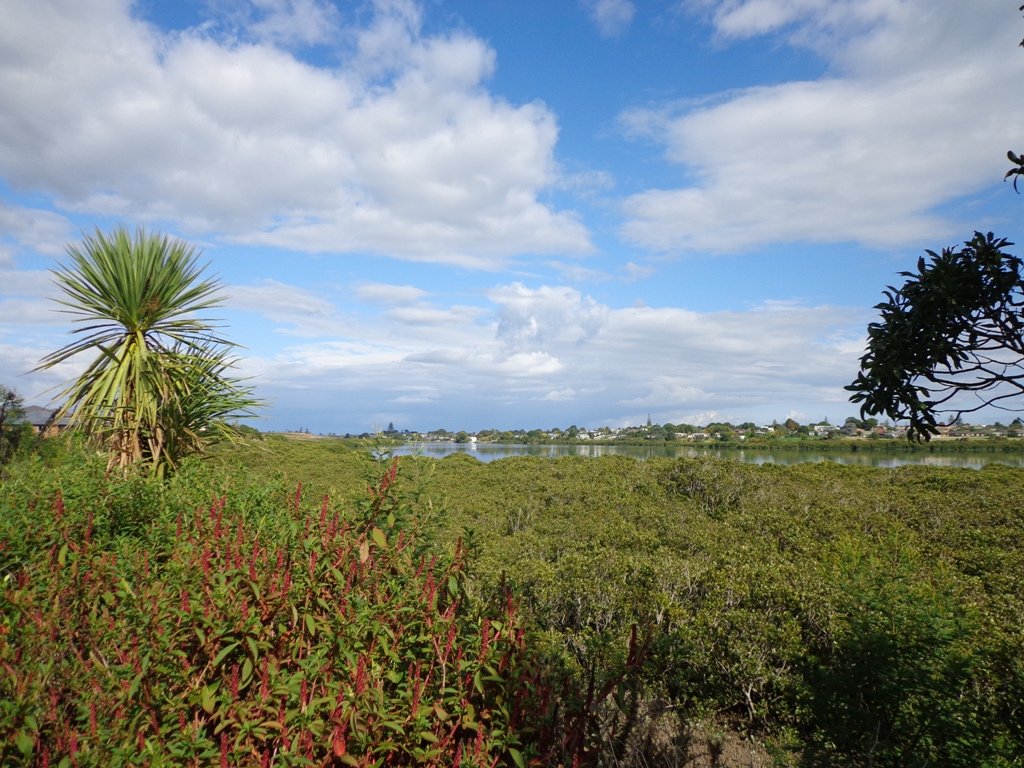
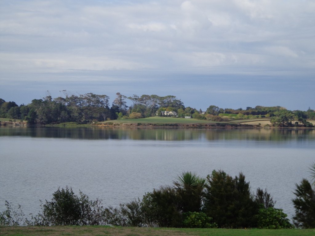
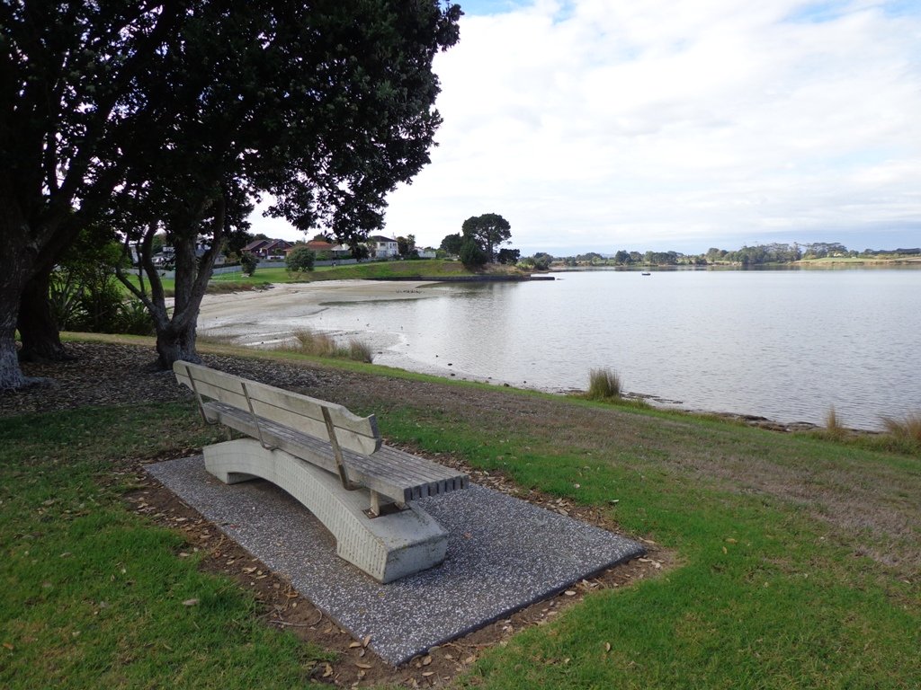
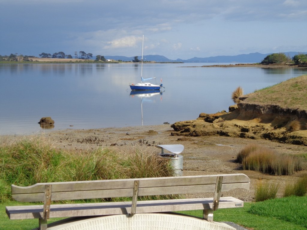
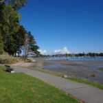
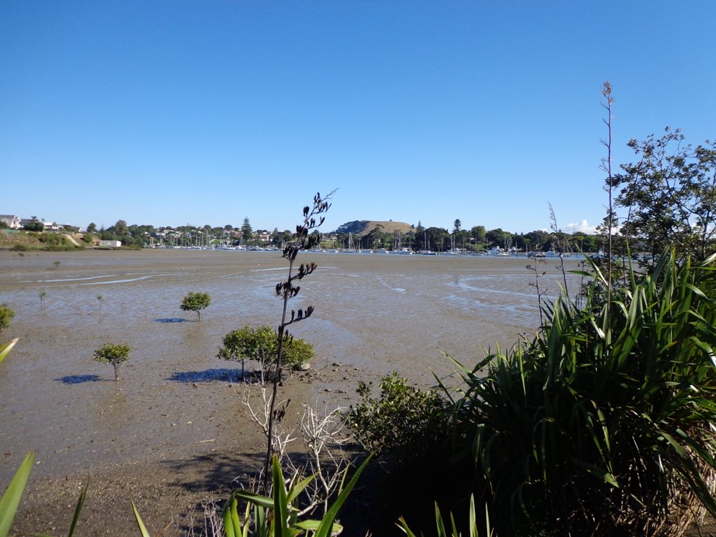
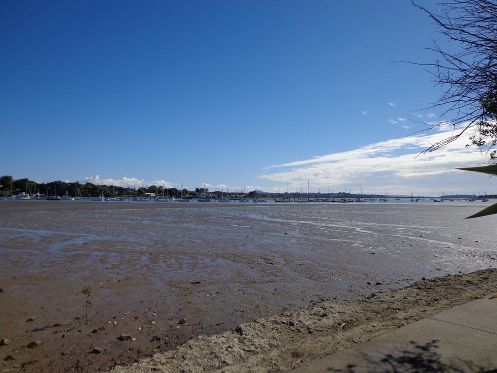
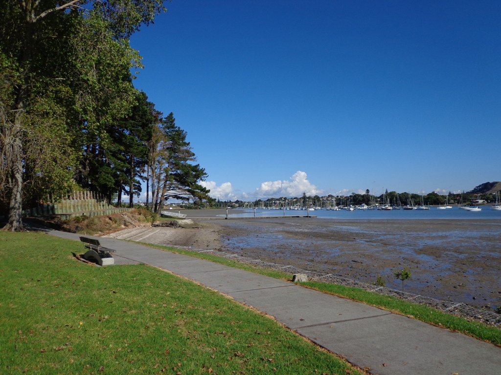
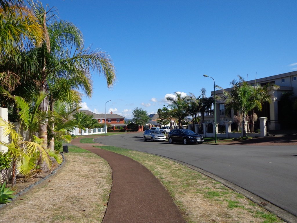
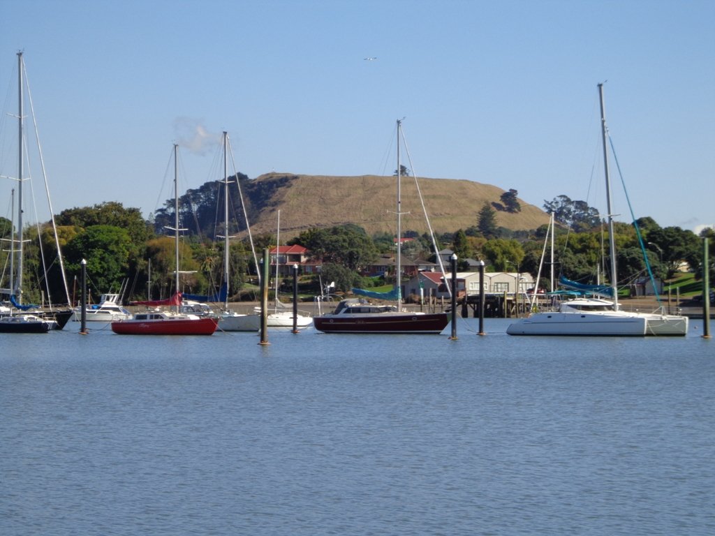
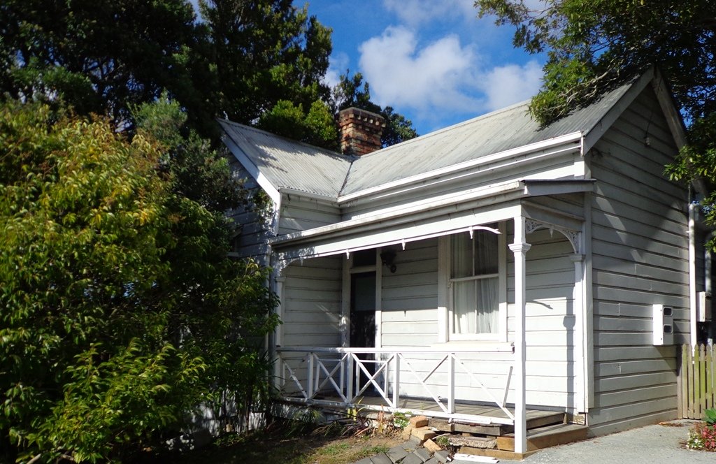
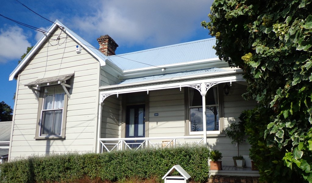
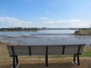
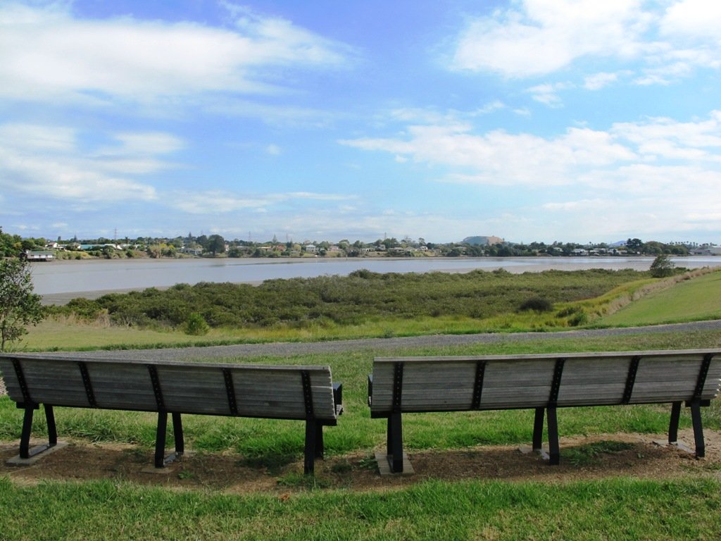
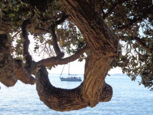
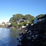
Many walkers on Auckland’s North Shore will be familiar with this route.  We start  off from the boat ramp at Takapuna, head along the shore line over sand, rocks and narrow pathways; past beautiful houses that overlook the Hauraki Gulf and Rangitoto Island to Milford, where we head inland along the marina before returning to Takapuna.

This walk suits sure-footed folk, and you would want to avoid high tide and stormy seas.

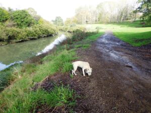
Dogs – Takapuna Beach is an off-leash exercise area 24/7 in winter, but only before 10am and after 6pm during daylight saving.

Description: Partly rocky and narrow seaside pathway. Slippery when wet.  Avoid at high tide and stormy weather. Suitable for users of average fitness and mobility.
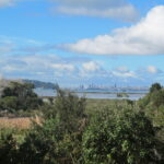
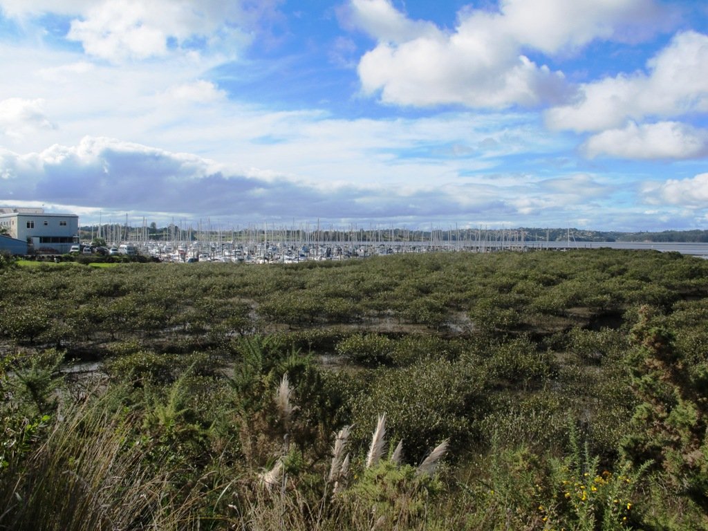
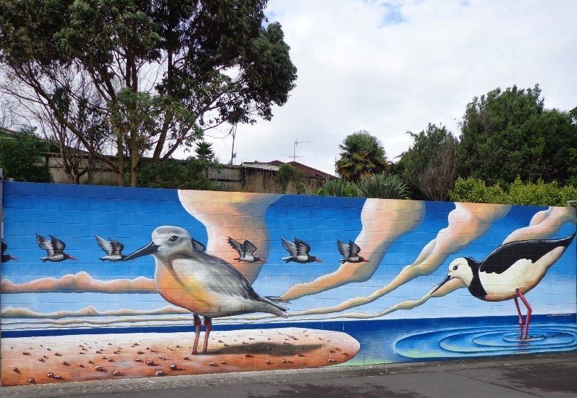
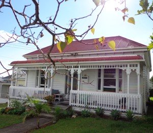
To see:  Hauraki Gulf, beaches, marina, residential homes.
Time: approx. 75 minutes. (about 6.22 kms)
Parking: Takapuna Boat Ramp, The Promenade
Buses: Hurstmere Road, Takapuna (MAP)

Stay on track…find this walk’s map and directions guide (AN-077 Takapuna Milford Loop) and other walk self-guides at our Walk Store.

New Lynn pottery and parks

Manawa Wetland Reserve © 2011-2013 Unleashed Ventures Limited

This walk in New Lynn (West Auckland) explores either side of the town centre and takes in Olympic Park and it’s popular children’s playgrounds, and the wetlands of Manawa. The Park and the Wetlands has a community of ducks and pukekos.

According to the TimeSpanner: “The Manawa Wetland Reserve has been redeveloped from a dump for Crown Lynn  rejects, before the clay was scoured out for bricks and pots and other thing, and it was the site of the poudrette factory, and before that, it was New Lynn’s Waterfalls Estate in the 1860s.”

Watch video Manawa Wetlands – Anywhere Auckland

To research the clay and brick history of New Lynn, get lost in Papers Past.

Taking the train to New Lynn could be the start of a day’s outing.  Do this walk along this side of the Whau River in the morning, have lunch in New Lynn, visit the Mall and then do the Avondale Whau River walk on the other side of New Lynn.

Description: Mix of flat and undulating paths. Suitable for users of average fitness and mobility.
To see: Olympic Park, Manawa Reserve Wetlands, Gardner Reserve, Ambrico Kiln, Whau River
Time: approx. 60 minutes. (about 5.25 kms) Children’s Playgrounds: Olympic Park
Start: Olympic Park (off Wolverton Street)
Buses/Trains: New Lynn Train Station (MAP)

Best of the West - Short Walks in Auckland

Stay on track…get your detailed guide and map (AW-076 New Lynn Reserves) over at our Walks Store and our Book Store (one of 12 walks featured in our book “Best of the West“).

Takapuna Explorer

Our walk around Takapuna on Auckland’s North Shore was in warm winter sunshine.  It was great to see so many people out walking – some with their dogs off-leash on the beach (check out the Council dog rules), making the most of the day.

Takapuna Beach Auckland Copyright Unleashed Ventures Limited 2013

We followed a route documented by Margaret Scrymgeour from her booklet “Explore the Shore”. This walk takes in the sandy shore as well as the mangrove filled estuaries. The walk is quite undulating, so gave us a good workout. The views of Rangitoto are stunning, and we also enjoyed the view to Auckland City, Mount Eden and the Harbour Bridge.

Description: Mix of flat and undulating paths. Suitable for users of average fitness and mobility.
To see: Takapuna Beach, Rangitoto, Mangrove, native birds, ducks
Time: approx. 90-120 minutes. (about 8 kms)
Start: Takapuna Boat Ramp, The Promenade  MAP

Coastal part 2

Stay on track…get your detailed guide and map (AN-075 Takapuna Explorer) over at our Walks Store  and our Book Store (one of 12 walks featured in our book “Coastal part 2”).

West Harbour Circuit

West harbour walkway. Copyr

West Harbour is tucked in between Hobsonville Point and Moire Park.  The walk circuit is short and does provide a couple of viewing points east to the city skyline. Start at the Waipareira Walkway at the West Harbour Marina and enjoy a coastal walk meandering in and around many little inlets, passing by wetlands and through native bush. If you are lucky, you may catch glimpses of bush birds like fantails and tui. There’s a nice picnic spot and children’s playground at Luckens Reserve (the swimming beach is below the reserve).

Find our GPS Google Map and further information here.

The tide soaked mangrove forest, provides a buffer between land and sea and is a nursery for fish and a safe haven for the many seabirds that nest there.

It is interesting to see the change in residential housing from mansions to more modest accommodation.

Visitors to Auckland may wish to catch a ferry to West Harbour, do the walk and then stay for lunch at either the cafe or restaurant, before returning to downtown Auckland. At Clearwater Cove you have the option to extend your walk by visiting the West Park Marina to watch the boats come and go.

Dogs – off leash exercise areas within the reserves.

Description: Mainly level paths. Suitable for users of average fitness and mobility.
To see: Clearwater Cove marina, views of Auckland City, Mangrove, native brids
Time: approx. 90 minutes. (about 5.75 kms)
Start: Clearwater Cove Marina, West Harbour MAP

Stay on track…get your detailed guide and map (AW-074 West Harbour Circuit) over at our Walks Store and our Book Store (one of 12 walks featured in our books “Coastal part 2” and “Best of the West“).

Otara Creek Walkway

The Otara Creek Walkway in South Auckland, passes through some 220 hectares of waterway/tidal mudflats and forms a green corridor within Otara township.

Otara Creek Walkway

This huge reserve was almost empty today; we saw two cyclists and one stray dog.

This walkway is ideal for family cycling and for taking your dog for an off-leash walk. (Dogs are welcome along the walkway provided they are kept under control and do not disturb wildlife or other park users. Dogs are not permitted on sport fields or near children’s playgrounds.)

The creek has mangrove mud flats and is sadly polluted – the locals seems to take delight in dropping shopping trolleys into the creek. However, if you can overlook the neglect, you may find enjoyment in the bigger view: the sounds of the birds and the trees and the native plants within the Otara Creek Reserve.

When I got home the thought came to me what it was that was missing here.  Other walks along waterways in Auckland like Wattle Downs and Conifer Grove have homes facing the waterway, but here alongside Otara Creek, there are only fenced off back yards.  Would people feel a sense of ownership, if another row of houses inside the reserve faced the creek?

History: An Otara timeline from 1955 to 2010

Description: Mainly level paths. Suitable for users of average fitness and mobility. Dog friendly.
To see: Otara Creek and estuary, mangrove mud flats
Time: approx. 75 minutes. (about 5.75 kms)
Start from: Fair Mall, Bairds Road, East Tamaki  MAP

Stay on track…get your detailed guide and map (AS-073 Otara Creek Walkway) over at our Walks Store  and our Book Store (one of 12 walks featured in our books “Dog Friendly Walks part 3” and “Best of the South”).

Half Moon Bay East

Half Moon Bay marina - ©2013 walksinauckland.com

This walk at Half Moon Bay explores the parks and reserves to the east, and then heads down to Eastern Beach. On a sunny day at high tide it is quite beautiful! The new-ish boardwalk, is a great finishing touch as you return to Half Moon Bay.

It was very busy at the Half Moon Bay cafes today – with many people out making the most of the sunny, warm weather and Mothers Day.

Description: Mainly level paths, steep steps and steep slopes. Suitable for users of average fitness and mobility.
To see: Views of Tamaki Estuary, marina, Eastern Beach Esplanade; views of Rangitoto, Mount Wellington and One Tree Hill
Time: approx. 75 minutes. (about 6.0 kms)
Start from: Half Moon Bay Marina  MAP

Stay on track…get your detailed guide and map (AE-072 Half Moon Bay East) over at our Walks Store  and our Book Store (one of 12 walks featured in our books “Coastal part 2” and “Best of the East”).


Mangere Esplanade Loop Walk

Mangere Bridge - Kiwi Esplanade copyright 2013 Unleashed Ventures Limited

It was a treat to walk along Kiwi Esplanade (Mangere Bridge) at high tide in the sunshine this morning. We had clear views to One Tree Hill and nearby Mangere Mountain, and sighted the migratory South Island Pied Oyster Catchers sitting on the rocks and reserves.

It’s always a pleasure to visit Mangere Bridge Village, with it’s parade of cafes and interesting folk. The area was busy today with walkers and cyclists. 

The walking route is also great for prams/buggies and dog walkers (on leash only).

Nearby places to visit: Watercare Coastal walkwayAmbury Regional ParkVilla Maria Winery and cafeButterfly Creek,  Otuataua Stonefields historic reserve , Mangere Strawberry and Vegetable Farm @ 127 Kirkbride Road.

Other Mangere WalksMangere Bridge to Onehunga LoopAmbury Park Farm WalkMangere Mountain

Description: Mainly level paths, with just one gentle downhill slope. Suitable for users of average fitness and mobility.
To see: Views of Manukau Harbour, One Tree Hill, Mangere Mountain, Pukeko and shore birds habitat.
Time: approx. 75 minutes. (about 6.23 kms)
Start: Coronation Road, Mangere Bridge Village  MAP

Stay on track…get your detailed guide and map (AS-071 Mangere Esplanade Loop) over at our Walks Store  and our Book Store (one of 12 walks featured in our books “Coastal part 2” and “Best of the South”).


Half Moon Bay West

Half Moon Bay. Copyright 2013 Unleashed Ventures Limited

Half Moon Bay was bathed in sunshine this morning – very welcome after a week of rain.  The walk west follows the cliff tops with fantastic views of Point England Reserve, Tahuna Torea, Rangitoto and Mount Wellington.

It’s been a while since we had visited Half Moon Bay; the last time there was a lot of building work going on.

We were prompted by Brett to return – this is his suggestion “A great one to commute to by ferry, go for a walk & check out the cafes, restaurants & bar at Half Moon Bay Marina, even a supermarket now at the marina. Best kept secret, free push bikes available from Grangers Restaurant & Bar!” Thanks for the tip, Brett!

Description: Mainly level paths, some steps and steep slopes. Suitable for users of average fitness and mobility.
To see:Views of Tamaki Estuary, Point England Reserve, Tahuna Torea, Rangitoto, Mt Wellington.  Wetlands, Pukeko birds habitat.
Time:approx. 60 minutes. (about 4.7 kms)
Start from: Half Moon Bay Marina off Ara-Tai Road MAP

Stay on track…find this walk’s map and directions guide (AE-070 Half Moon Bay west) and other walk self-guides at our Walk Store

Check it out: the Half Moon Bay ferry service

Conifer Grove Circuit

Conifer Grove Circuit © 2013 Unleashed Ventures Limited. All rights reserved

The walk along Conifer Grove Esplanade offers views across Manukau Harbour north to Wattle Downs and south to Karaka.

We met friendly chatty people along the shared walkway/cyclway, many with dogs and children in tow (there is a good selection of children’s playgrounds in the reserves).

Conifer Grove Walkway
Conifer Grove Walkway and Water

Link to open Google Map in a separate tab or tap the icon in top right of this map.

Download a printable version of the Conifer Grove Walkway Printable Google Map.

More information: My Auckland: Conifer Grove
The boardwalk through the mangroves provides a mini adventure for young children (but do keep an eye on them – one child’s scooter took a flying leap into the mud when we were there; luckily the tide was out!).

Suitable for family cycling – Brylee Drive Reserve, Takinini, 6km of shared paths.

Description: Mainly level paths, some steps. Suitable for users of average fitness and mobility.
To see: Manukau Harbour views, mangroves, residential homes and gardens
Time: approx. 60 minutes. (about 4.55 kms)
Start: Walter Strevens Drive, Conifer Grove  MAP

Stay on track…get your detailed guide and map (AS-069 Conifer Grove Circuit) over at our Walks Store and our Book Store (one of 12 walks featured in our books “Coastal part 2” and “Best of the South”).

Pakuranga Farm Cove Loop

We have now added a fourth loop walk taking in the wonderful Pakuranga Rotary walkway. This 5kms loop walk follows the Tamaki Estuary through Farm Cove and explores the Sunny Hills suburban streets, with views of Mount Wellington and One Tree Hill.

You may wish to cycle the whole 5 kms of the Pakuranga Rotary walkway, or just stop and watch the tide on one of the many seats along the walkway.  Families may like to take a fun break on the snakes and ladders playground near the Bramley Drive entrance.

The walking route is also great for prams/buggies and dog walkers (on leash only).

Mon Bichon Cafe

We stopped for coffee at the French inspired deli/cafe Mon Bichon, a delightful surprise in the Farm Cove village shops. You could buy your pastries from here to take and eat beside the walkway…(update: sadly it is no longer there).

Description: Mainly level paths (with one small incline).  Suitable for users of average fitness and mobility. Suitable for cycling and push-chairs.
To see: Tamaki Estuary, Mangroves, white volcanic pumice deposits, views of Mount Wellington and One Tree Hill, residential homes
Time: approx. 60 minutes. (about 5 kms)
Start: Fisher Parade, Farm Cove Village  MAP

Stay on track…find this walk’s map and directions guide (AE-068 Pakuranga Farm Cove Loop) and other walk self-guides at our Walk Store and our Book Store (“Best of the East”)

Wattle Downs Walkway

Wattle Downs in South Auckland was another new area for us to explore. The Wattle Downs Walkway goes around the edge of the peninsula that extends into Manukau Harbour, at one spot there are views through to Manukau Heads.
The day was very calm – the water was like a mirror, and there were also threatening grey clouds hanging overhead.
The walking route is also great for cyclists, prams/buggies and dog walkers (on leash and off  leash dog exercise areas).

Wattle Downs walkway © 2013 Unleashed Ventures Limited

There are many points of interest along the way, and friendly people to say hello to. We stopped and spoke to a resident whose house looked out towards Manukau Heads – he told us that they get to view amazing sunsets over the harbour.

There are wetlands and ponds active with shore birds – if you are a keen bird watcher be sure to take your binoculars.

The only thing missing in the area is a cafe.

UPDATE March 2015 ** The shared walkway/cycleway has been extended from Hadley Wood Drive to Aberdeen Crescent.


Suitable for Family cycling: Frangipani Ave to Bluewater place, 10km each way.

Wattle Downs Public Toilets

Description: Mainly level paths, one set of steps (which can be avoided). Suitable for users of average fitness and mobility. Suitable for cyclists.
To see: Manukau Heads, Manukau Harbour, Wattle Farm Wetland Reserve, shore birds
Time: approx. 100 minutes (about 8.7 kms). Dog off-leash areas. Childrens playgrounds. No cafe. Public Toilets may not be open due to vandalism issues (see image below).
Start from: Wattle Farm Reserve MAP

Stay on track…get your detailed guide and map (AS-067 Wattle Downs Loop) over at our Walks Store   and our Book Store (one of 12 walks featured in our books “Coastal part 1”, “Dog Friendly Walks part 1” and “Best of the South”).

(Click on the photos to enlarge)

Pakuranga Kentigern Loop

© 2013 Unleashed Ventures Limited

Today we set out to explore another part of the Pakuranga Rotary Walkway, this time taking a loop behind Saint Kentigern College and through Manor Park.

This mainly flat 4km walk would suit workers at Pakuranga Plaza as well as residents. Views of Mount Wellington and water craft. Great for cyclists (cycle the full length of the walkway to Pigeon Mountain) and dog walkers (on leash – please refer to comments below), and for prams/buggies .

The day was calm and the skies blue – perfect for a walk!

Description: Mainly level paths. Suitable for users of average fitness and mobility.
To see:  Views of Mount Wellington, water craft, residential homes
Time: approx. 45 minutes. (about 4.0 kms)
Start: Pakuranga Plaza MAP

Stay on track…find this walk’s map and directions guide (AE-066 Pakuranga Kentigern Loop) and other walk self-guides at our Walk Store

(Click on photos to enlarge)

Kingsland-Mt Eden Loop

This Auckland walk takes you from Kingsland Train Station (with views of Mt Albert), touches the city end of Dominion Road, Eden Quarter, and through the suburban streets of Mt Eden, to Mt Eden Village and return.

Kingsland, Auckland

You can enjoy the tree lined footpaths and beautiful old homes.  And this walk makes it very apparent that Eden Park is really in Kingsland.

You can choose to take your time and stop at various shopping precints along the route or do the 90 minute walk in one gulp!

Description: Mainly level paths and steps. Suitable for users of average fitness and mobility.
To see:  Kingsland, Dominion Road, Mt Eden Shops; residential homes
Time: approx. 90 minutes. (about 7.0 kms). Dogs on-leash. One small children’s playground.
Start: Kingsland Train Station MAP

Stay on track…find this walk’s map and directions guide ( AC-065 Kingsland-Mt Eden Loop) and other walk self-guides at our Walk Store

Kingsland Explorer

Today we explored a walk that we have driven past many times on the North Western Motorway.  This short walk in central Auckland starts off at Kingsland Railway Station, and explores the shops, residential streets, reserve and park in the local area (and like all of our circular Auckland walks – you may choose to start from other places along the route).

DSC00042

Kingsland is full of character with interesting olde worlde shops, cafes, bars and pubs which were a great feature for the 2011 Rugby Word Cup.  Sitting in the cafe, you could imagine that you had gone back in time. Our retail discovery was a Made in New Zealand shop called Mixt Art & Design which has some very unique products.

Description: A mix of level and steep paths. Suitable for users of average fitness and mobility.
To see:  Kingsland Shops, cottage style homes, bush track
Time: approx. 60 minutes. (about 5.0 kms)
Parking: Off new North Road
Start: Kingsland Railway Station MAP

Stay on track…find this walk’s map and directions guide (AC-064 Kingsland Explorer) and other walk self-guides at our Walk Store

Highbrook Park Loop

If you have been out to Highbrook Business Park in South Auckland, you may have noticed a walkway along the waters edge to the north.  This has intrigued my friend and I for some time, so today we set out to explore and work out a way to include it an interesting circular walk.

Mission accomplished and rewarded with a delicious iced coffee at Highbrook Park’s Sierra Cafe! **Update December 2014** There is now a further selection of cafes and eateries at The Crossing (we had coffee at The Light Horse).

IMG_4918

According to “Volcanoes of Auckland, the Essential Guide” Highbrook was developed as a racehorse stud farm before it was converted to a business park. The explosion crater’s proper name is Pukewairiki which means “the hill with the associated small lagoon”. The crater floor is now salt marsh and mangrove forest.

The pathway along Highbrook Park is safe for family cycling. This walk does not include a playground and would be suited for older children.  Look out for the pohutukawa blossoms early summer. There is an off-leash dog exercise area on the Otara Creek (south) side of this walk.

Description: A mix of level and slightly hilly paths. Suitable for users of average fitness and mobility.  Suitable for mountain bikes.
To see:  Pukekiwiriki Crater, wetlands, views of Tamaki Estuary, Otara Creek, Pakuranga Creek, Mount Wellington and other volcanoes,  Highbrook Model Airpark.
Time: approx. 75 minutes. (about 5.8 kms)
Start: Business Parade North, Highbrook  MAP

Stay on track…get your detailed guide and map (AS-063 Highbrook Park Loop) over at our Walks Store  and our Book Store (one of 12 walks featured in our books “Dog Friendly Walks part 1” and “Best of the South”).