A beautiful sunny morning made our trip south for a walk around the Auckland Botanic Gardens and Totara Park walking tracks and the Puhinui Stream forest, a wonderful experience.
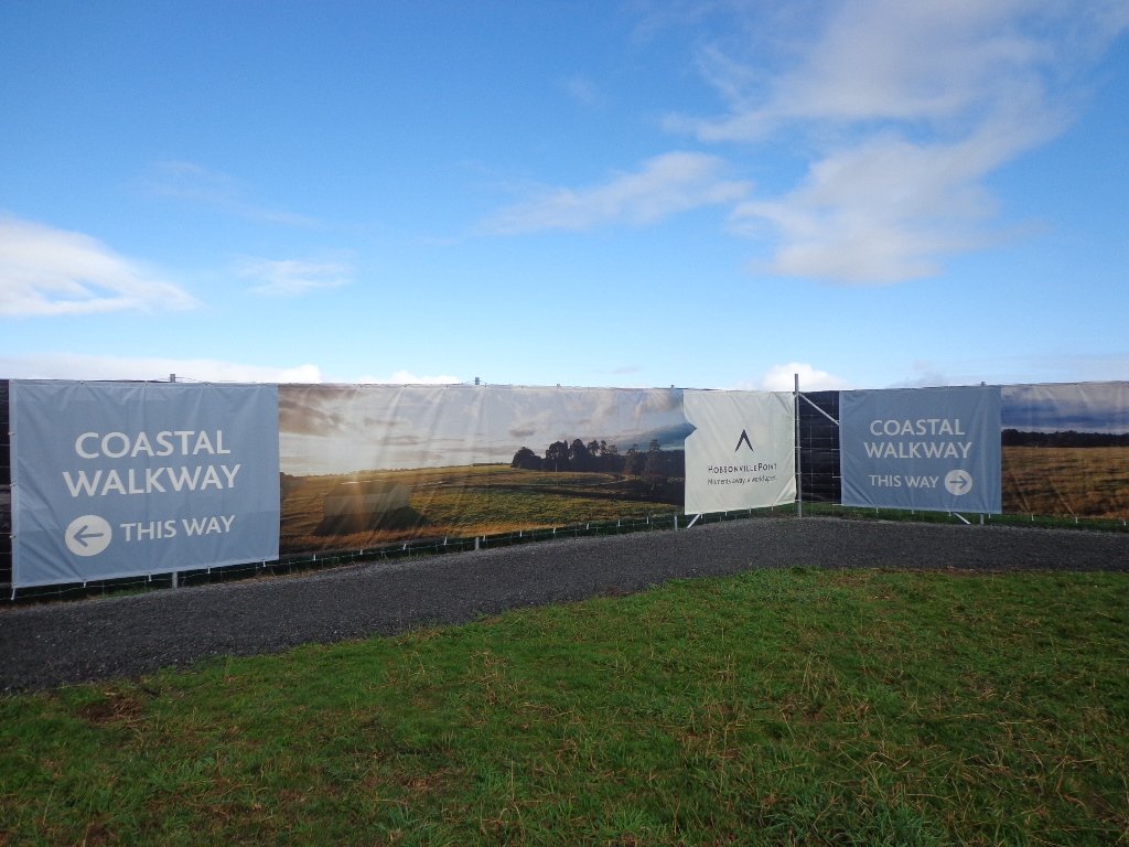
We had set out to do a 5km walk but we ended up getting lost due to poor signage.
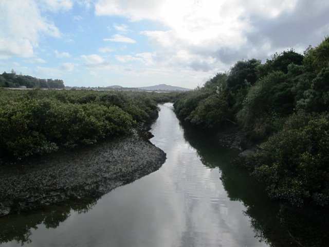
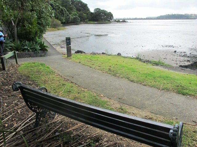
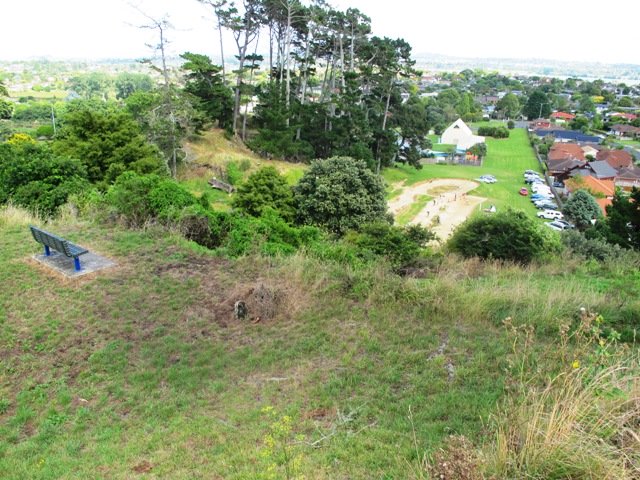
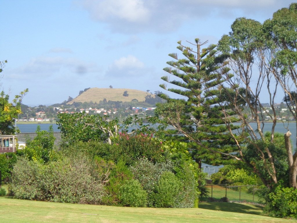
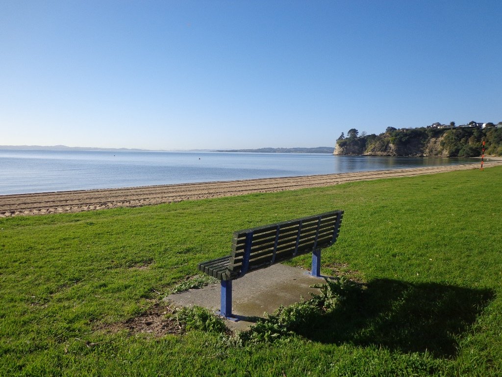
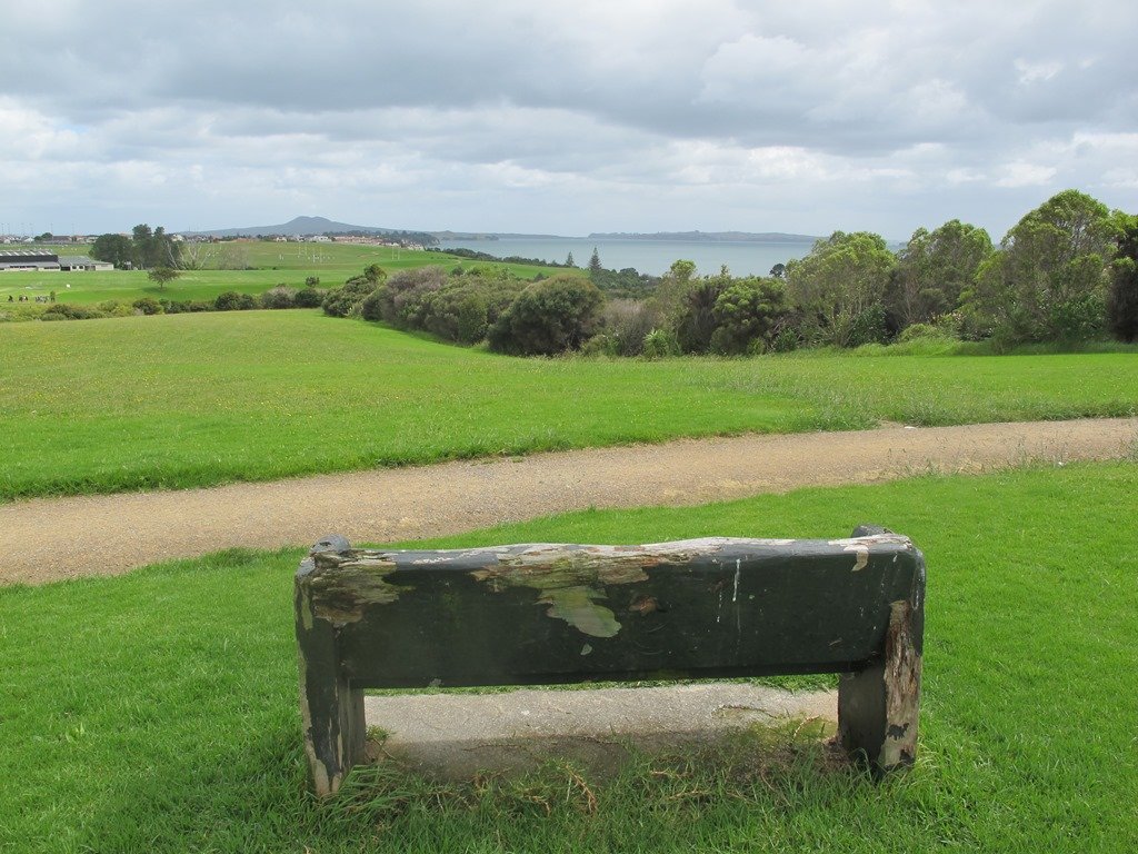
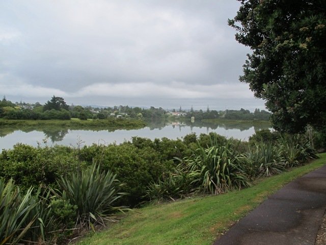
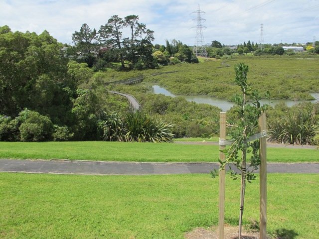
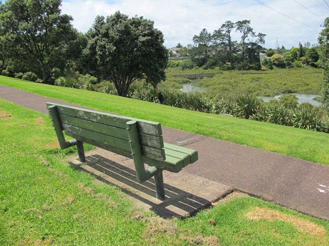
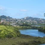
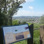
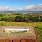
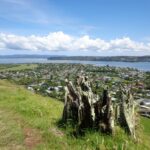
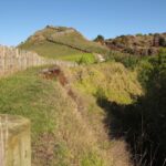
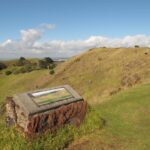
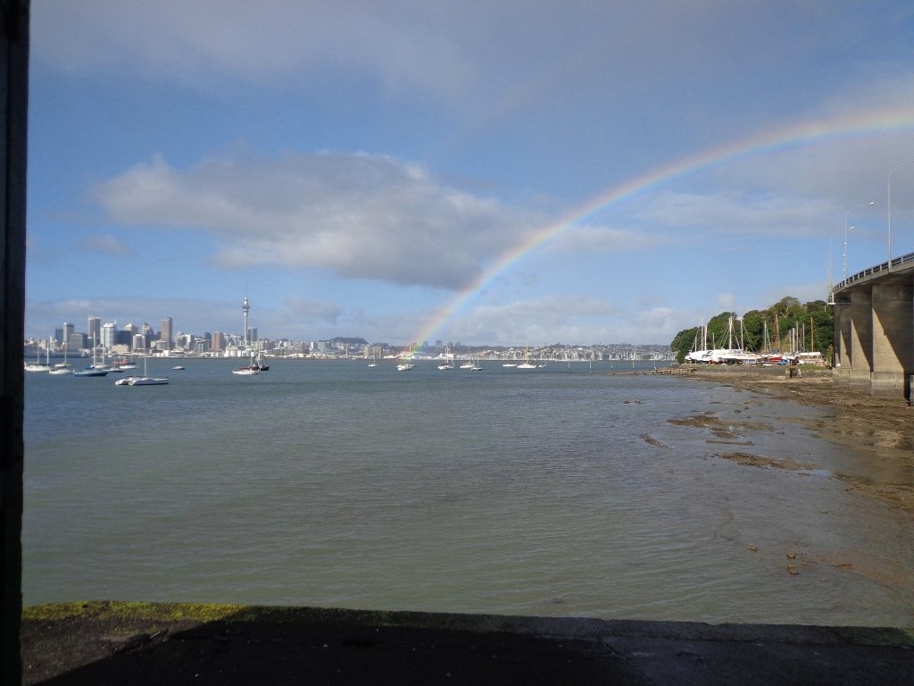
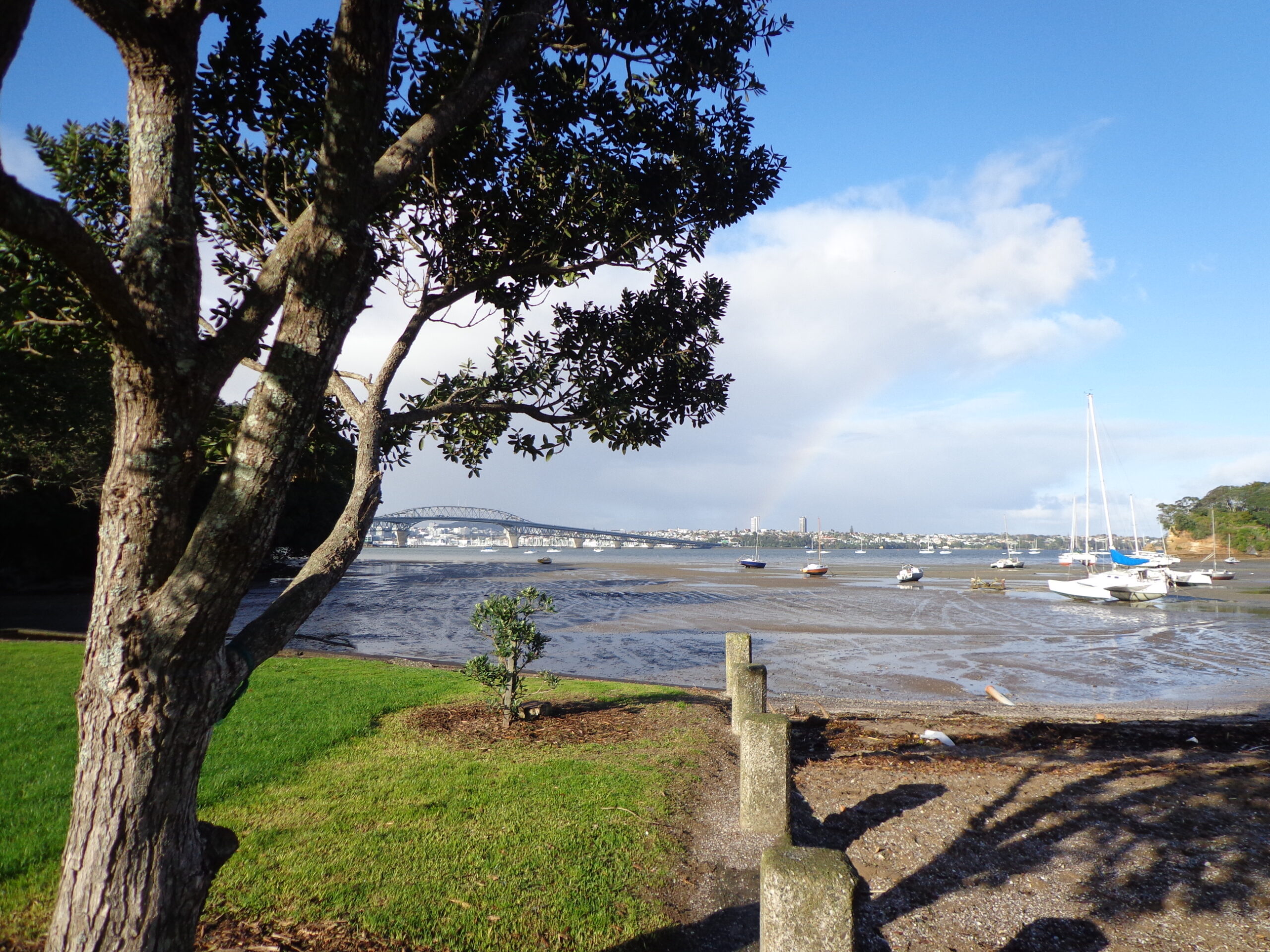
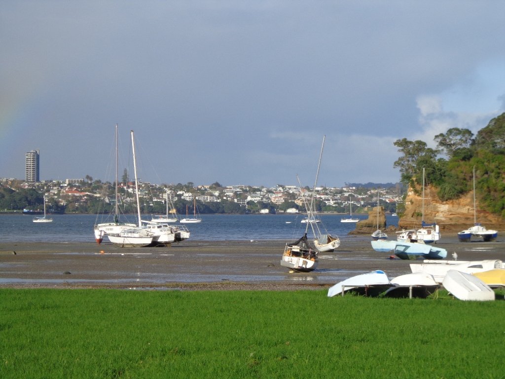
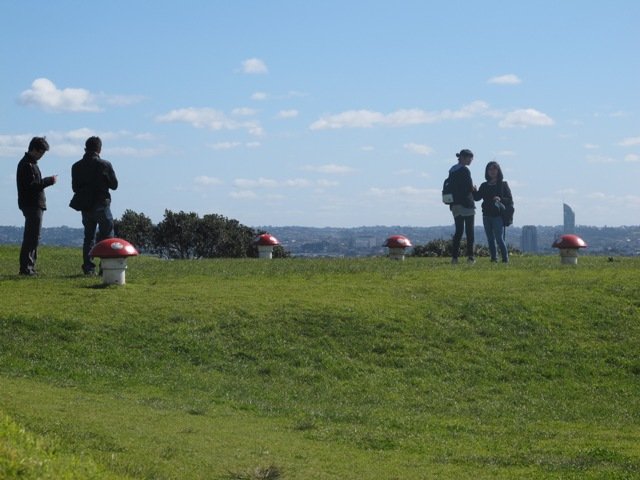
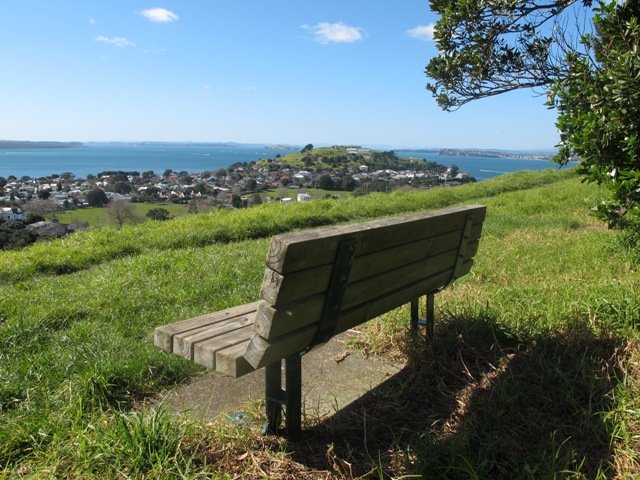
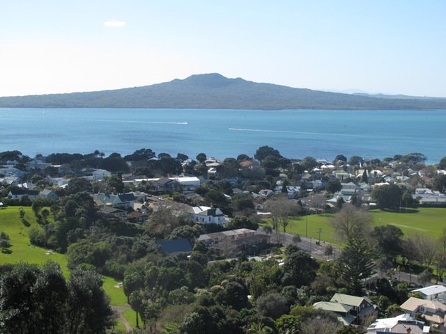
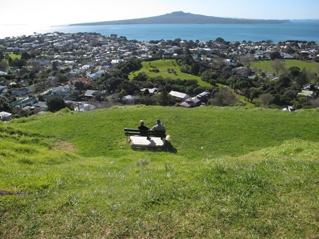
There was a good side to getting lost 1) we walked further than we had planned and 2) we found a look-out that we did not know existed which gave us a clear view all the way to the Auckland city skyline and across to Manukau Harbour.
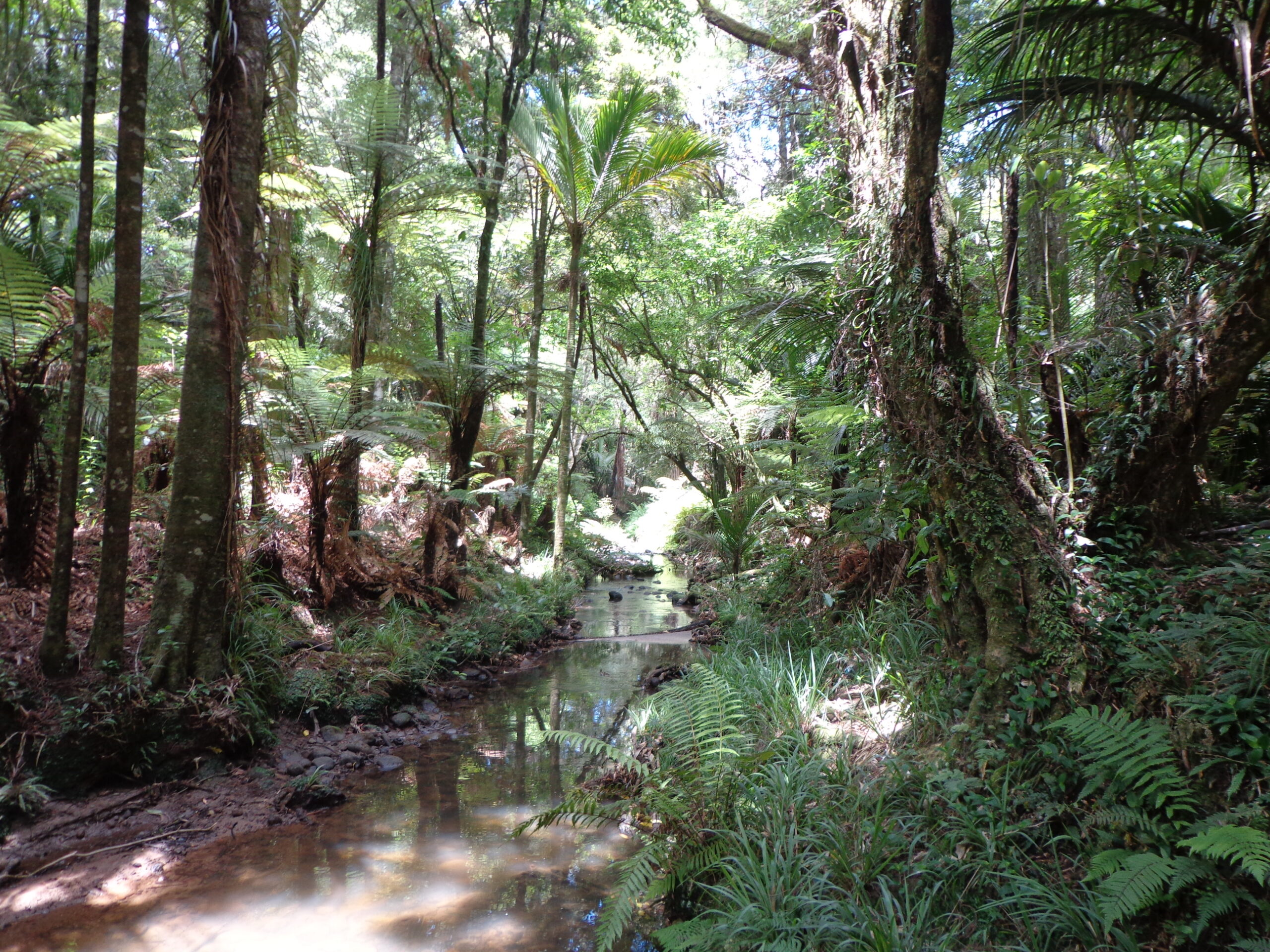
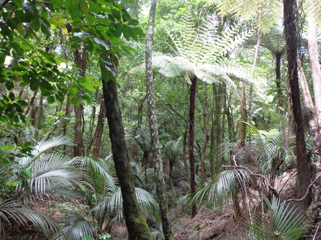
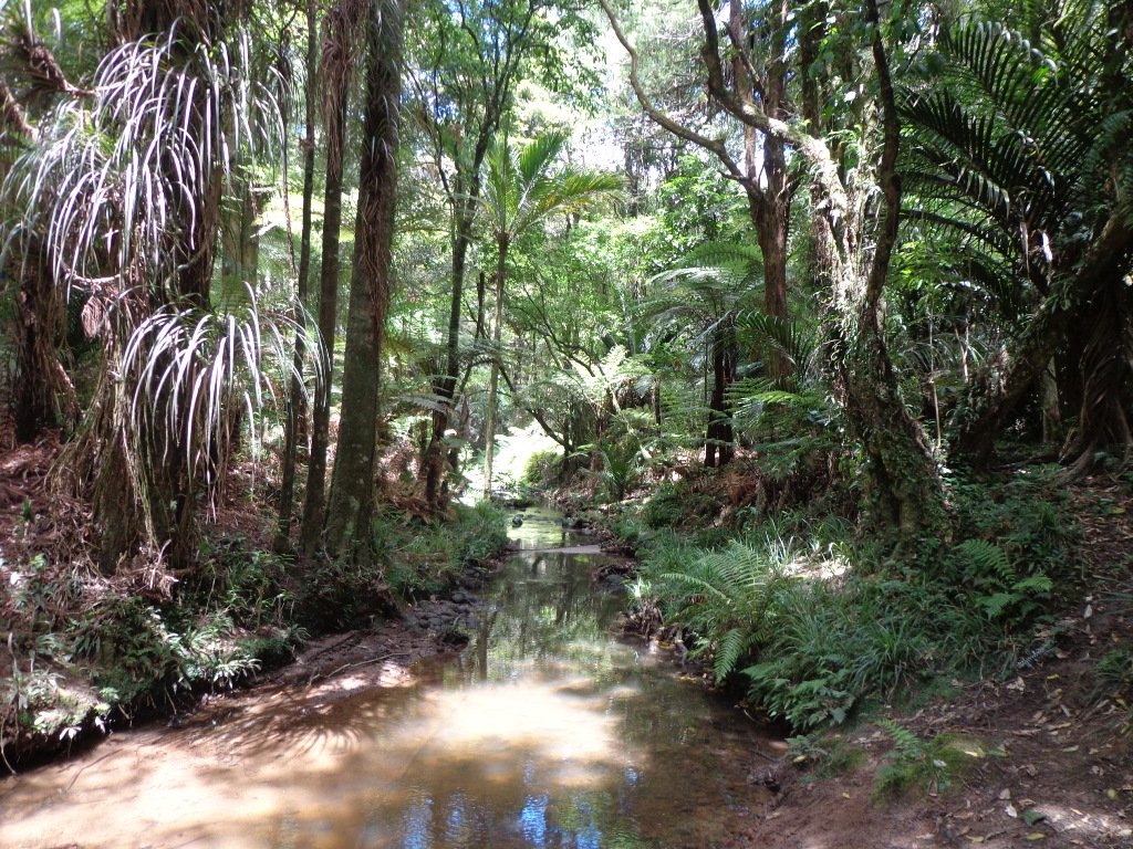
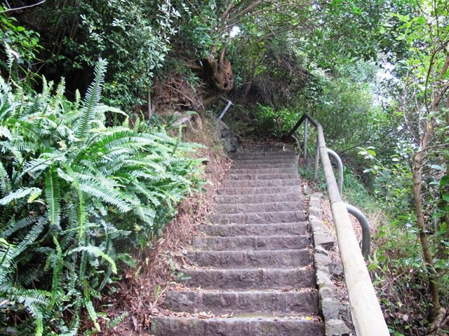
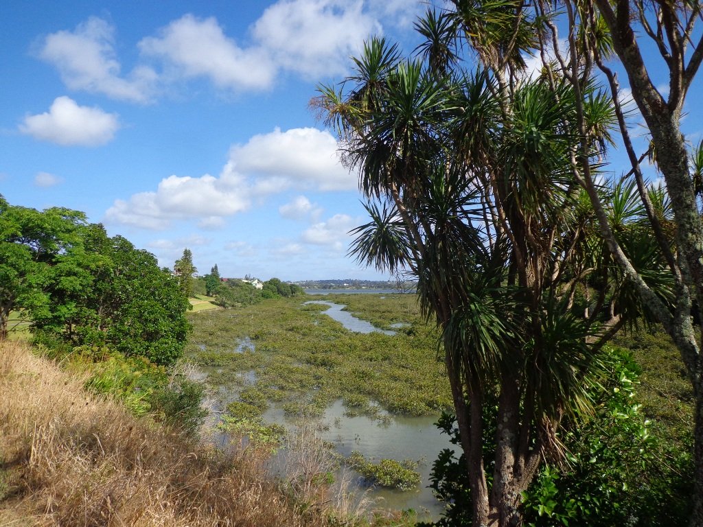
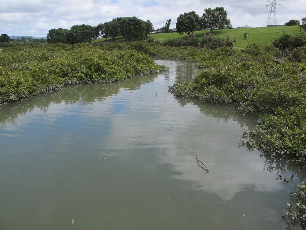
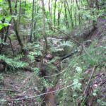
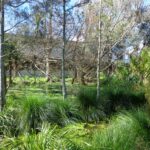
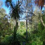
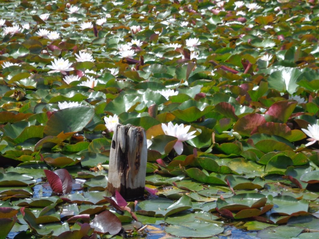
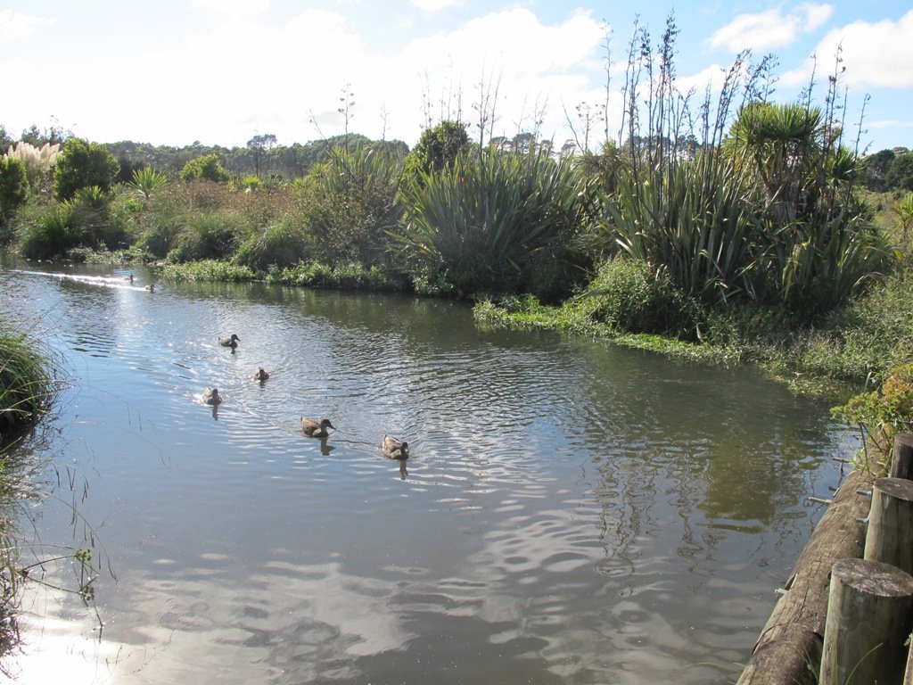
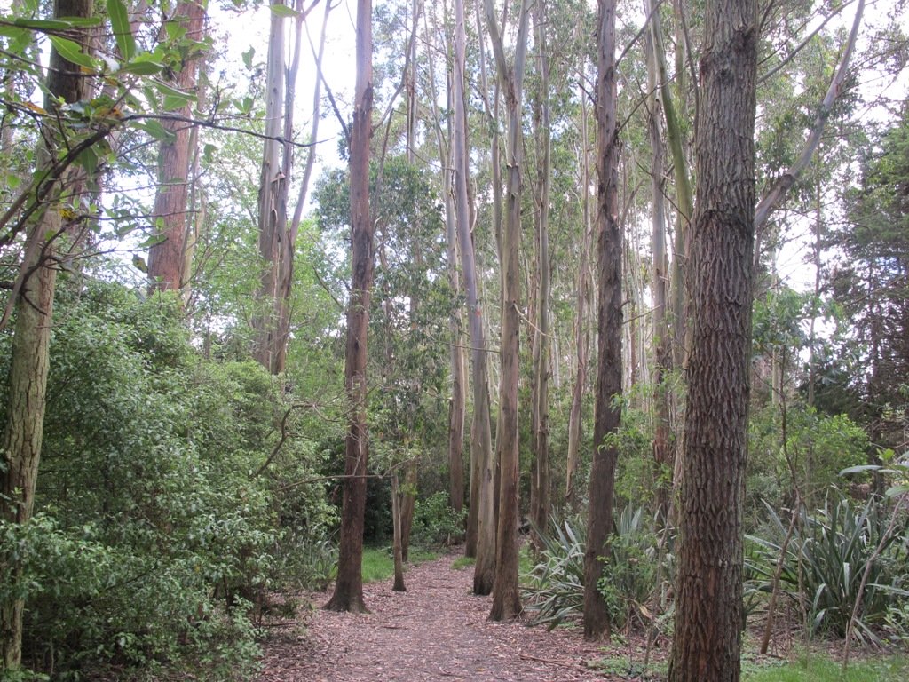
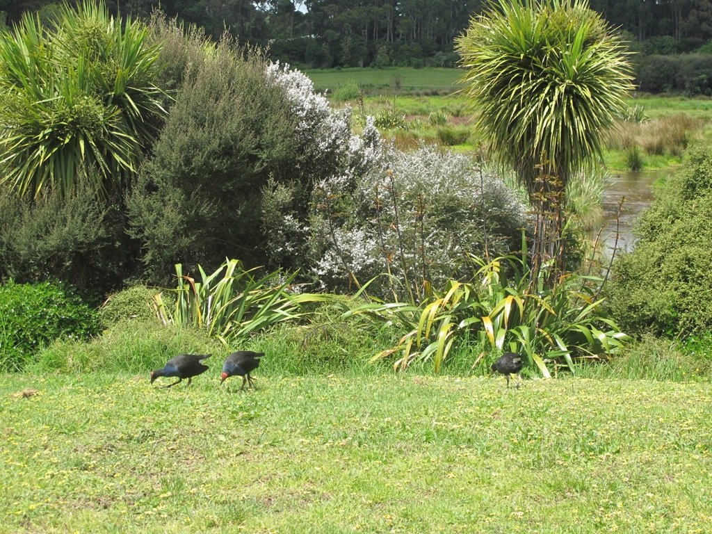
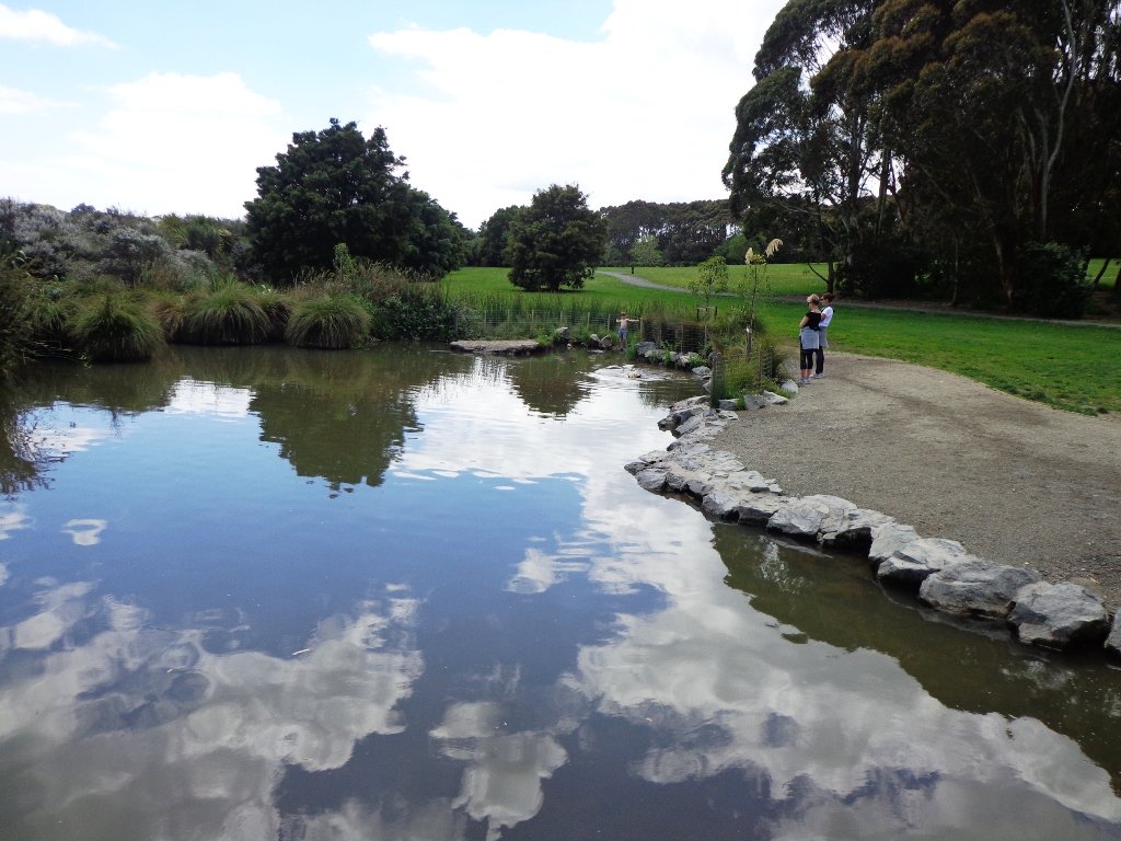
The Puhinui Stream Forest Trail (the full loop trail is approx 4 kms) in Totara Park was gorgeous with the sunlight dappling the native ferns and palms. The trail took us past beautiful totara, puriri, nikau and kauri trees. We enjoyed soaking up the beauty of the lush native forest.
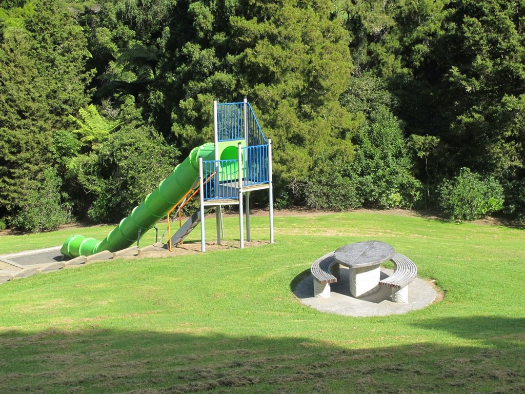
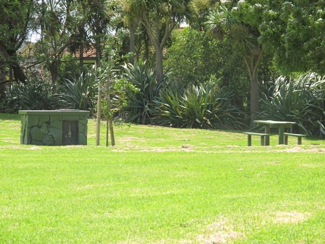
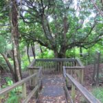
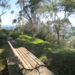
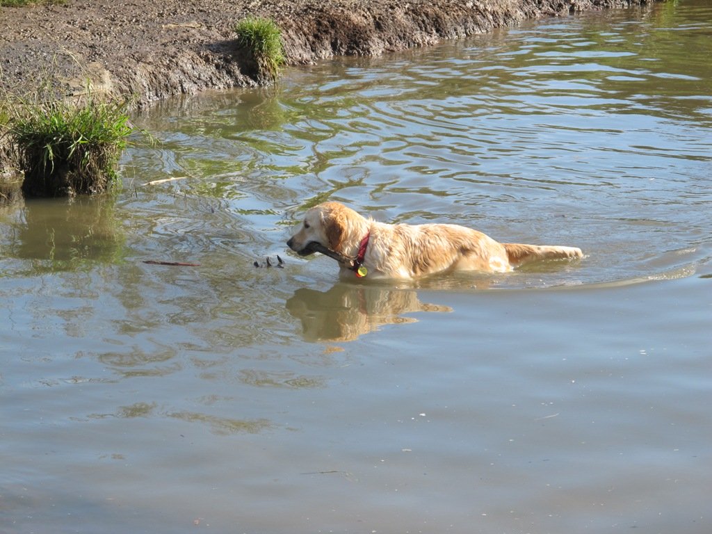
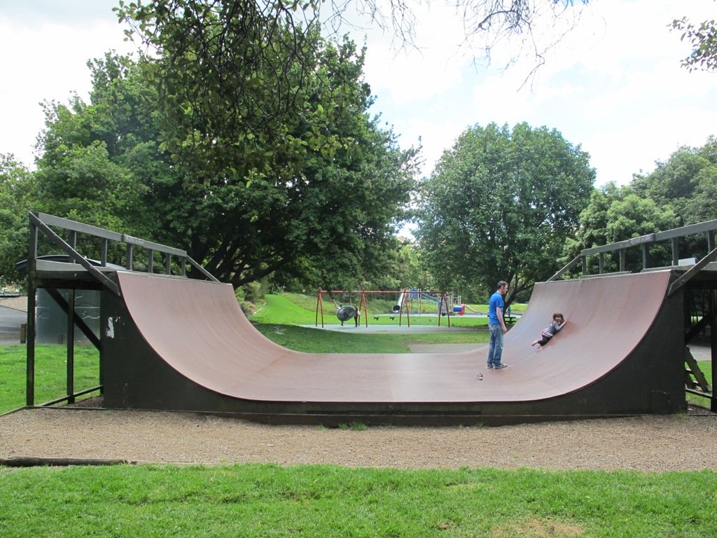
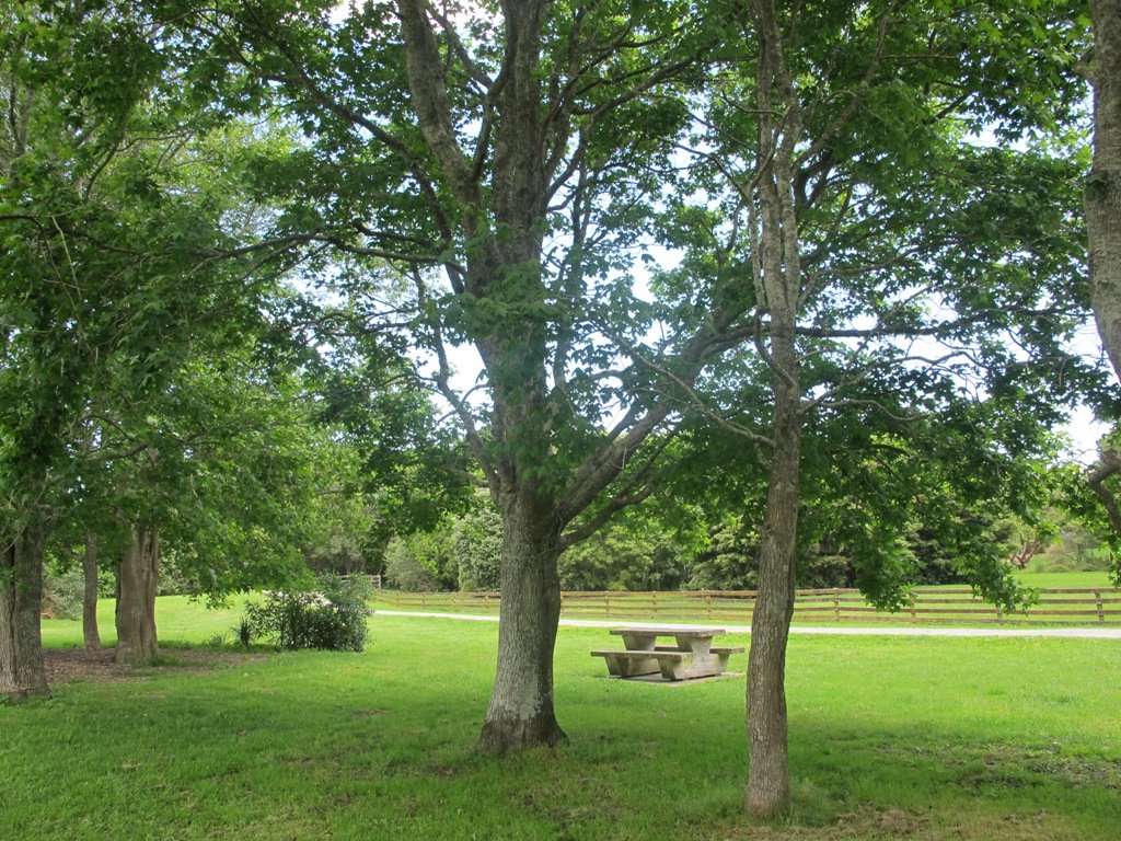
There are great spots to stop and picnic along the trail and children’s playground areas (including a children’s flying fox). Dogs on-leash on the trail, but there are off-leash areas. It makes for a great family day out. (And if you are into mountain biking or want to give it a try, there is a 15 km mountain bike track here too).
Dogs – off leash exercise area between north side of the Gardens and Totara Park.
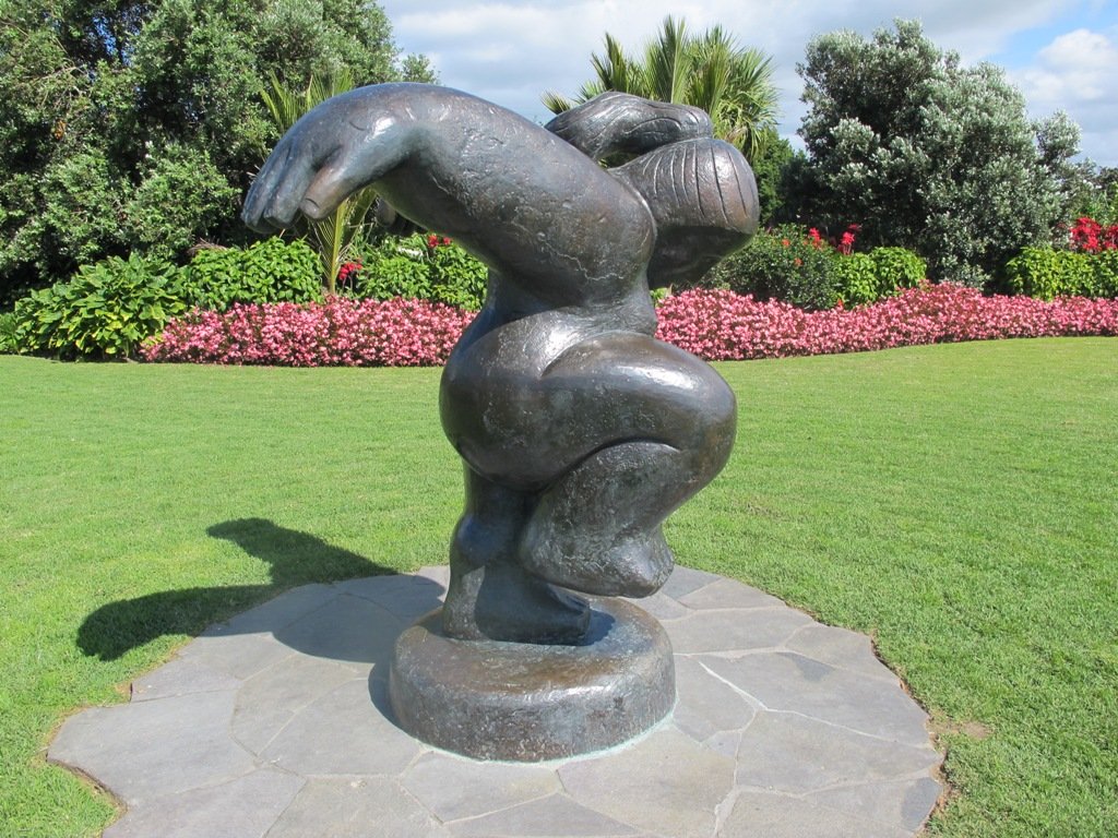
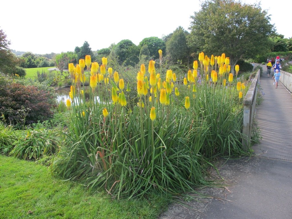
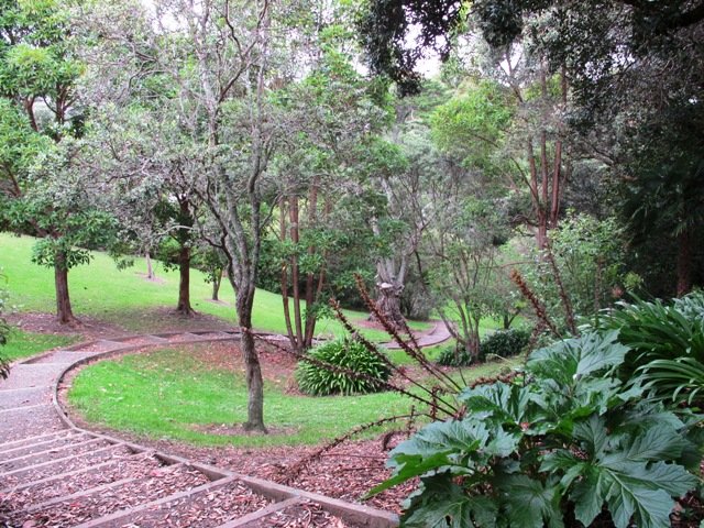
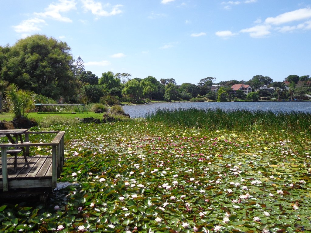
If you have children then we do recommend a visit to the Potter Children’s Garden (within the Botanic Gardens) – and as adults we enjoy visiting them too! The Auckland Botanical Gardens are magnificent and a wonderful place to visit all year round – the spring blossoms are stunning.
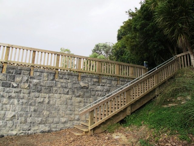
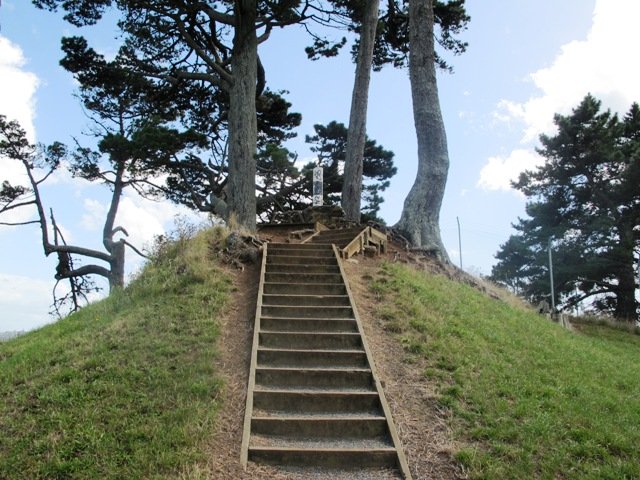
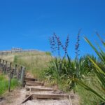
Description: A mix of level paths, steps and slightly inclined paths. Suitable for users of average fitness and mobility. May require boots in wet weather, running shoes suitable in dry weather.
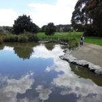
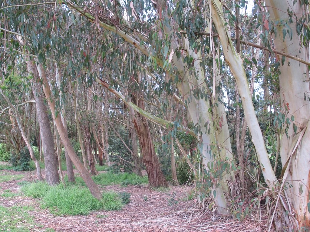
To see: Auckland Botanic Gardens, native bush and palms
Time: approx. 75 minutes. (about 6 kms)
Start: Auckland Botanic Gardens Carpark MAP
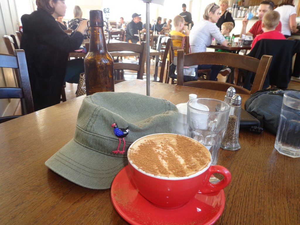
Miko Cafe at Auckland Botanic Gardens Visitor Centre provided us with much needed refreshments (we especially enjoy the Piazza D’Oro coffee).

Stay on track…get your detailed guide and map (AS-037 Botanic Gardens and Totara Park Loops ) over at our Walks Store and our Book Store (one of 12 walks featured in our books “Urban Bush”, “Dog Friendly Walks part 2” and “Best of the South”).