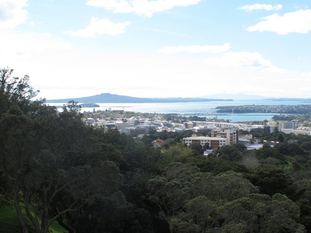
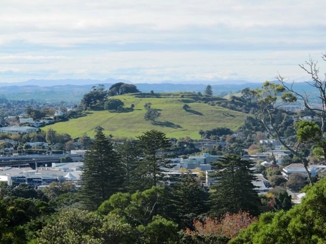
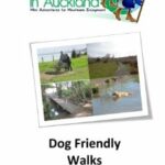
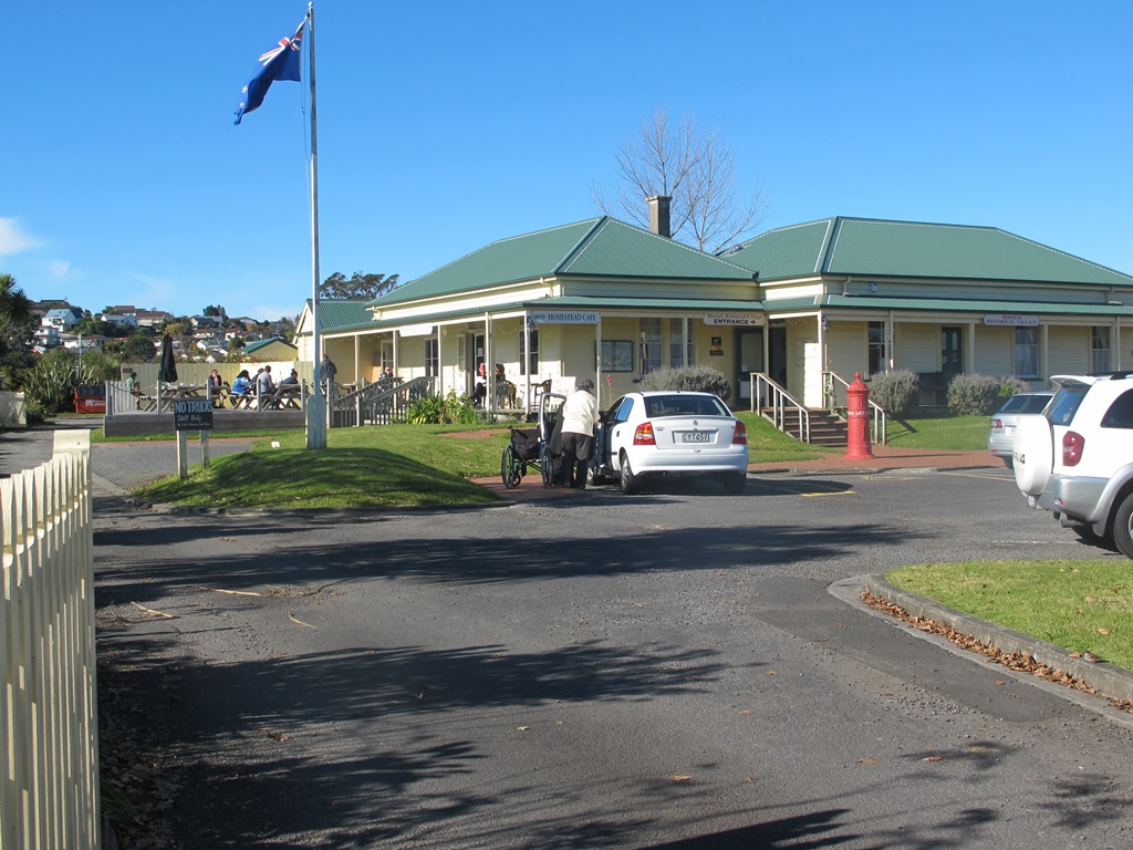
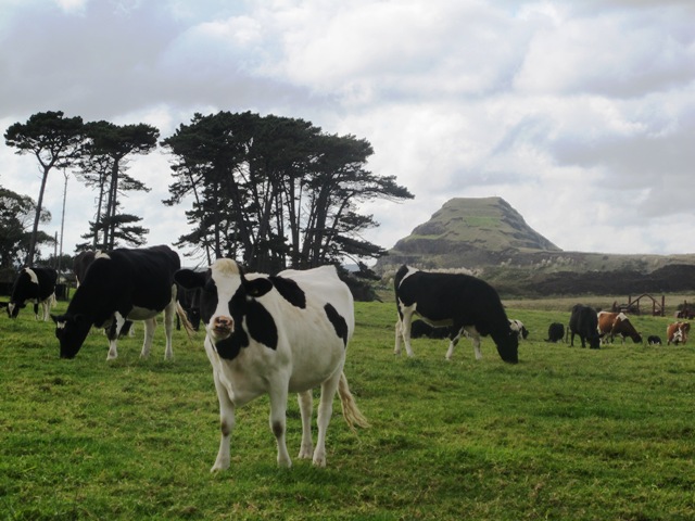
Explore the Shore

Explore the Shore” is a series of three books each containing 10 main walks and compiled by Margaret Scrymgeour. The walks cover a large area of Auckland’s North Shore.

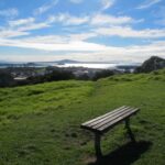
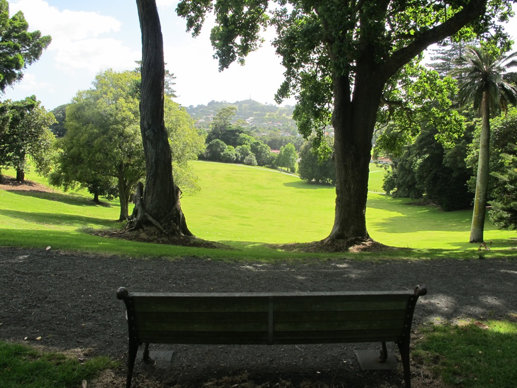
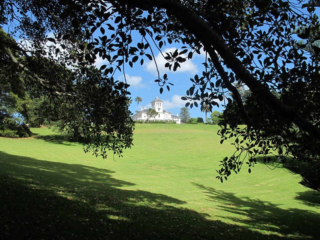
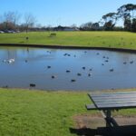
I had the pleasure of meeting Margaret at an Auckland Council Regional Cycling and Walking forum on the 12th June. We have much in common – we have made our walks circular, one hour to one and a half hours in length, and we take in the parks and reserves.

The books are currently free and are available from Libraries and Information Centres. They contain clear directions and a map for each walk.

These books can be downloaded from the Living Streets website:

Volume One: Download Albany & Greenhithe booklet (PDF, 1.5MB) Greenhithe, Chester Park, The Oaks, Kell Park & Lucas Creek, Albany Village & Landing, Civic Centre & Central Albany, Brookfield, Clemows, Rosedale to Unsworth Reserve, Fairview Heights

Volume Two:  Download Bays to Devonport booklet (PDF, 2.4MB) Torbay Coastal, Browns Bay Inland, Murrays Bay Inland, Mairangi Bay, Campbells Bay to Castor Bay, Sunnynook, Around Lake Pupuke, Around Takapuna, Belmont, Devonport Inland

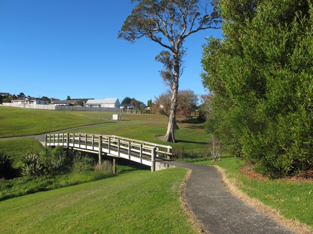
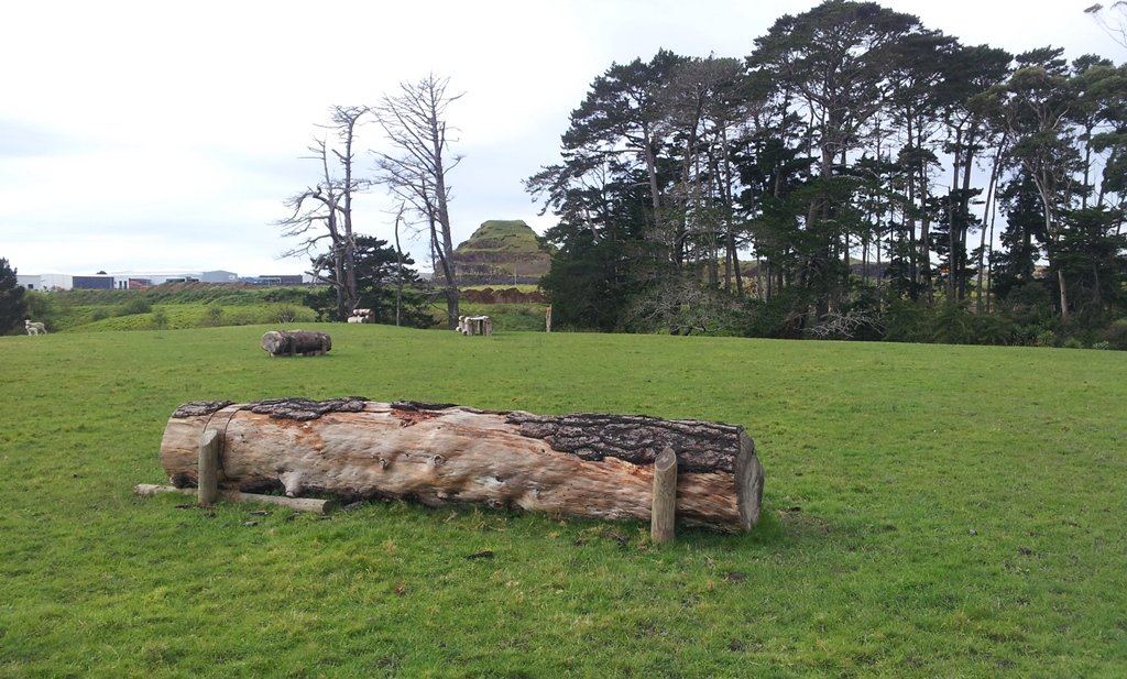
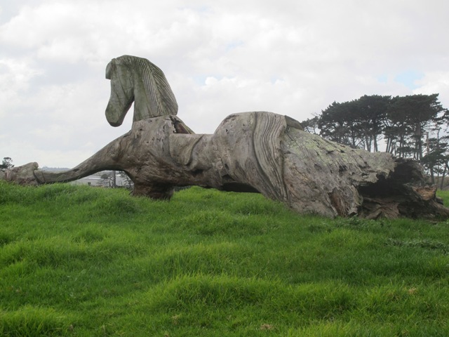
Volume Three: Download Kaipatiki booklet (PDF, 8.0MB) Northcote- Tuff Crater, Old Northcote Point, Birkenhead & Le Roys Bush, Chelsea (Sugar) Heritage Park, Beach Haven, Shepherds Park, Windy Ridge, Glenfield Coast & Bush, Highbury & Eskdale Reserve, Totaravale & Unsworth Reserve

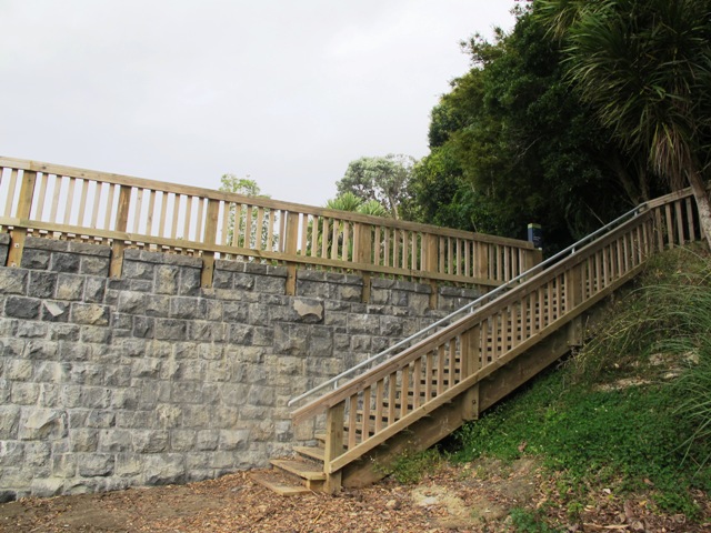
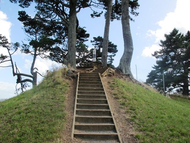
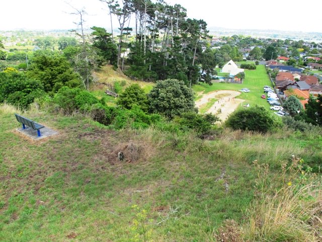
Kaipataki Explorer Online Guide


The Cascade Walkway

The Cascade Walkway (7.5km of shared paths between Meadowland Drive and Lloyd Elsmore Park, Pakuranga)  is another area that has been on our list to explore.  We set out from Howick Historical Village hoping to find well sign-posted walking paths. The best we found was a post with two arrows on it! (New signage has been installed since our first visit).

The Cascade walkway map

The paths are great for cycling and walking (with your dog and/or your children).  There is diverse birdlife and native plants and trees. We were surprised by the lack of picnic/BBQ facilities, public toilets and children’s playgrounds within the Cascade Reserve.  However, we did come across 3 children’s playgrounds in total, making this a short family friendly walk.

walksinauckland.com

Near the Historical Village is an area to play with marbles, and another area for kids to ride their bicycles on a specially made track. There is a duck pond  and some bench seats along the walkway nearby.
We had lunch and coffee at the Homestead Cafe (the homemade bacon and egg quiche was very tasty).

You can find the Auckland Council’s information on the Cascade Walkway here.

Dogs – off leash exercise areas available (see more Dog Friendly Walks)

Suitable for family cycling:Between Meadlowland Drive and Lloyd Elsmore Park, Pakuranga, 7.5km.

Description: Mainly level paths and a few slightly inclined paths. Suitable for users of average fitness and mobility. Mostly concrete paths with a small stretch of dirt track under trees. Buggy/pram friendly.
To see: Creeks, birdlife, small waterfall, bridges, tunnel. View of Rangitoto Island, Pigeon Mountain, Mt Wellington, Waitakere Ranges and One Tree Hill
Time: approx. 75 minutes. (about 6 kms)
Start: Bells Road off Cascades Road/Pakuranga Road MAP

Stay on track…get your detailed guide and map of the AE-040 Cascade Walkway Loop at our Walks Store and our Book Store (“Dog Friendly part 3” and “Best of the East”).


Watch this video to get a taste of Cascades Walkway:

Oakley Creek Loop walk

walks in Auckland

We have wanted to include Oakley Creek walkway in our walk guides for some time.  The Oakley Creek Te Auaunga (whirlpool or swirling waters) Walkway itself is a one-way track, and we wanted to include it as part of a bigger circular walk. And today we did it!  There was a lot of water in the creek today and the 6 metre high waterfall was in fine form.  The new viewing platform is great (update December 2012 – sad to see that the platform has been burnt down).

Oakley Creek flows from Hillsborough, through Mt Roskill, Owairaka and Waterview to the Waitemata Harbour, making it one of Auckland’s longest urban streams. Oakley Creek is also home to the New Zealand longfin eel which is threatened, so fishing is not allowed.

The Friends of Oakley Creek is a project to help preserve and protect the creek, and was set up in 2004. The Friends of Oakley Creek have been doing a fantastic job with restoration and keeping the creek maintained, clean and improving the water quality.  This is a volunteer organisation, and they continually seek help with their efforts – lend a hand if you can.  If you would like to get involved, visit their Facebook page: Friends of Oakley Creek .

You can walk through native bush, wetlands, see water birds and enjoy the peace beside Oakley Creek. We have decided to create two separate loop walks – one a northern loop, the other a southern loop.  You may wish to get both, and link them together for a longer walk.

Children’s playgrounds in both walks – the southern loop Heron Park has a flying fox.

Both loop walks take in off-leash dog exercise areas (dogs on leash alongside the Creek). See other Dog Friendly Walks

walks in Auckland


Description: A mix of level paths, steps and slightly inclined paths. Suitable for users of average fitness and mobility. May require boots in wet weather, running shoes suitable in dry weather.
To see: Water birds Habitat, waterfall, Oakley Creek
Time: approx. 60 minutes. (about 4 kms
Start: Cadman Avenue (off Fairlands Avenue/ Great North Road) MAP

Urban Bush walks in Auckland

Stay on track…get your detailed guide and map over at our Walks Store  (AC-042 Oakley Creek Walkway Loop South) and our Book Store (one of 12 walks featured in our books “Urban Bush” and “Dog Friendly Walks part 2”).

Watch this video to get a taste of the Oakley Creek walkway.


Puhinui Reserve Walkway

Puhinui Reserve Walkway was another new discovery for us today.  It is a huge (199 hectares of rural landscape) undeveloped area out near Auckland Airport (off Price Road, off Puhiniu Road).

Puhinui Reserve Walkway will eventually link up with Te Araroa – The Long Pathway.

walks in Auckland

Puhinui Reserve forms part of the extensive Matukuturua volcanic field and is linked with pre-European settlements centred around Wiri Mountain (which has been extensively quarried) and Matukutura (McLaughlins Mountain). The area is used for a 3 day equestrian event once a year.  It is a great area for safe family cycling on mountain bikes. This is a mostly flat walk. Dogs are not permitted as it is a conservation area for birdlife (such as the rare or endangered NZ Dotterel, wrybill, fernbird, and black stilt). Take a picnic – there are no nearby cafes.

The walking route is suitable for mountain buggies. Puhiniu Reserve is a great place to visit from about the end of July to see the newborn lambs and calves.

Best of the South: Short walks in Auckland

Description: A mix of level paths and slightly inclined paths. Suitable for users of average fitness and mobility. May require boots in wet weather (mud and puddles), running shoes suitable in dry weather.
To see: Manukau Harbour conservation land, farmland and farm animals, view of McLaughlin Mountain (volcano), native bush.
Time: approx. 80 minutes. (about 6.50 kms)
Start: Price Road (off Puhinui Road, Wiri) MAP

*** Download this walk AS-039 Puhinui Reserve Loop for free when you enter your details here. *** or…

One of 12 walks available in “Short Walks in Auckland: Best of the South”. Visit our book store to get your copy.

Mangemangeroa Reserve walking track

walks in Auckland
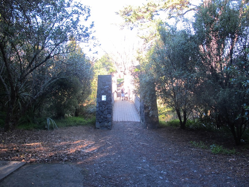
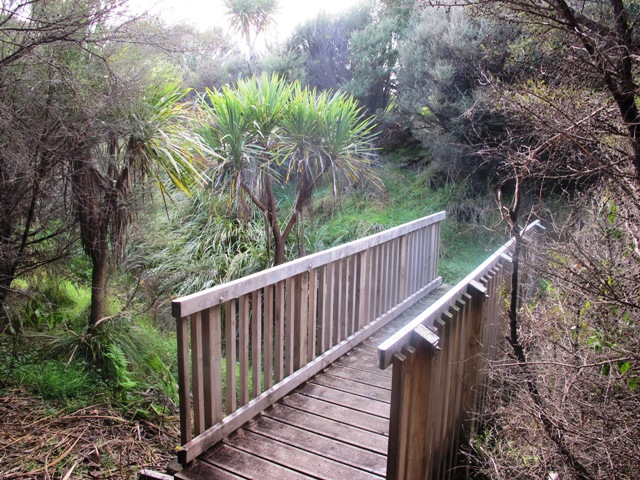
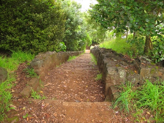
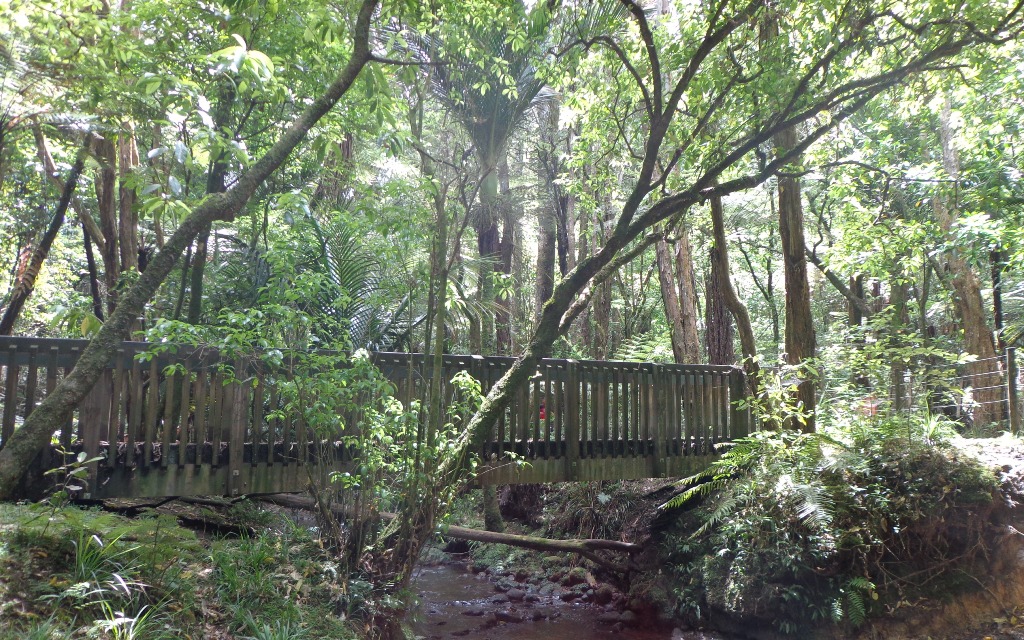
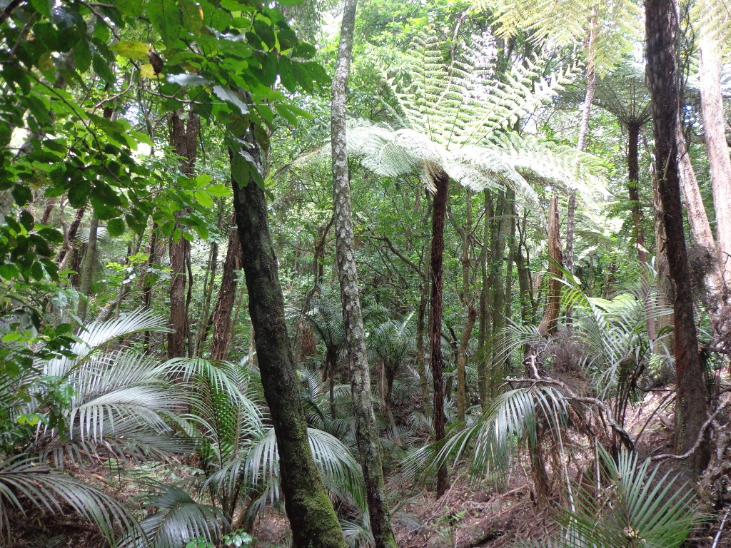
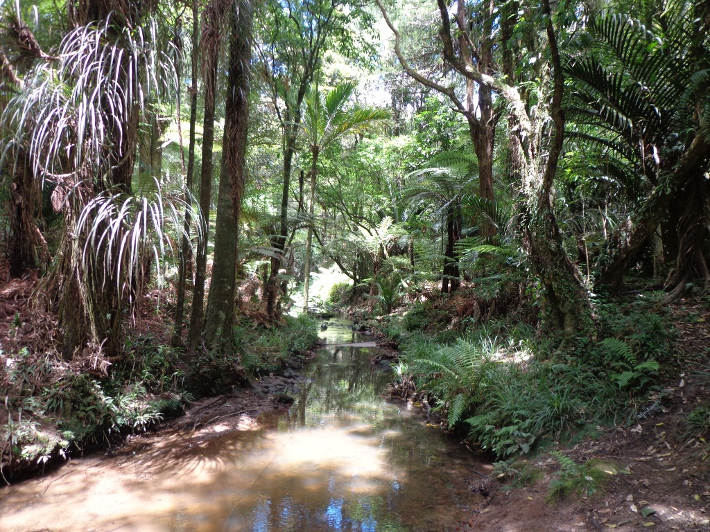
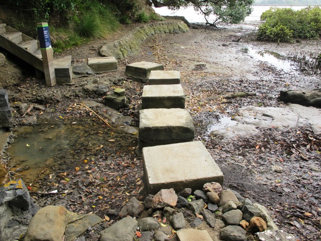
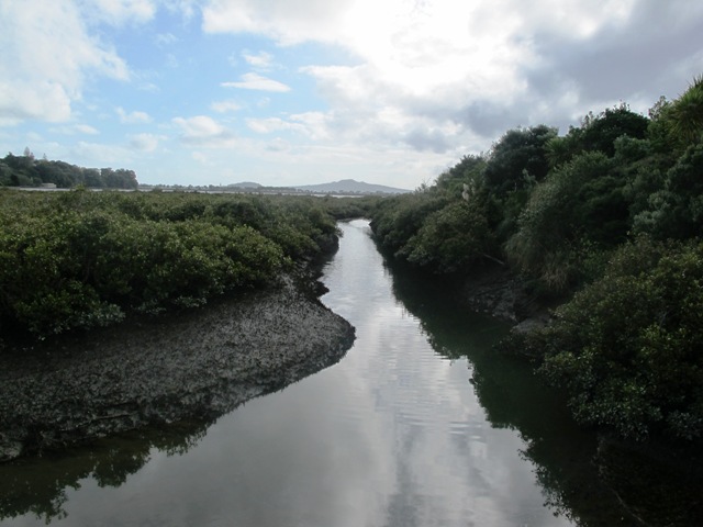
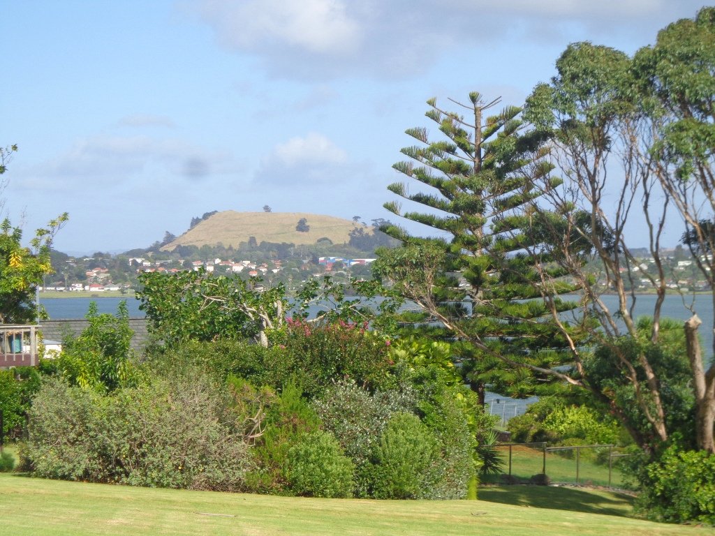
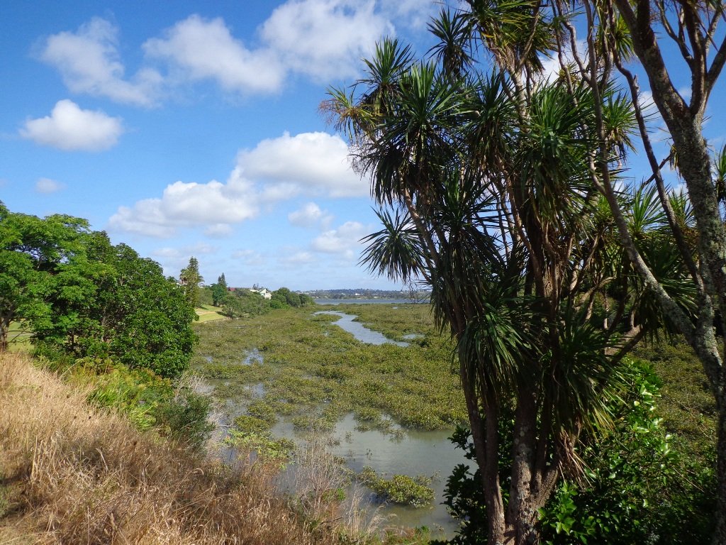
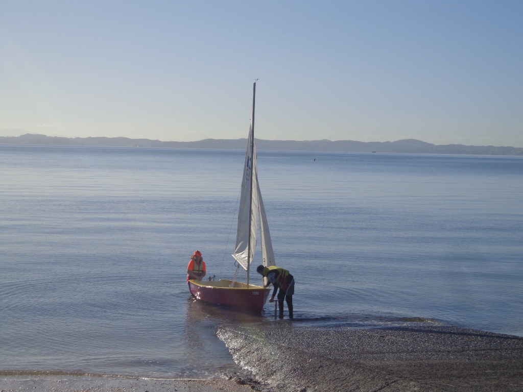
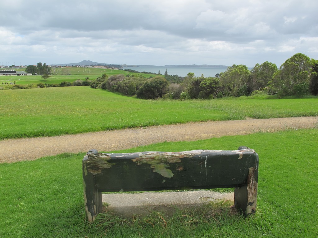
The Mangemangeroa Reserve track was a totally new discovery for us today. I was  aware of it’s existence (and my awareness was raised further by my friend Isabel).

Today this coastal bush walk was an initial explore.  We concluded that it cannot be made into a circular walk however it is a beautiful magical place to walk, so we will be returning to document it fully. Yet again we hit the familiar snags, lack of sign posting – so we shall endeavor to keep fellow walkers on track with clear directions.

Today we met a couple at Shelly Park Beach who had walked from Howick Beach to Hayley Lane and were on their return journey. They had been walking for 31/2 hours to that point.

The views from the top of the ridge down the valley to the estuary were stunning, the bush was peaceful, and it was still and beautiful down by the water’s edge at Shelly Park Beach and the yacht club.

Download the Auckland Council brochure here.

I also suggest if you have the time that you pop into Howick Village markets which are held every Saturday morning. There is also a Sunday craft marketat All Saints Community Centre in Cook St check here for details.

walks in Auckland

How to get there: Southern Motorway to South Eastern exit. Follow Route 10 to Ti Rakau Drive, turn right and keep going past Botany Town Centre to its end. Turn left onto Chapel Rd, right onto Whitford Rd then hard left onto Somerville Rd. (MAP)

A walkway runs through native bush, past mudflats stretching along the estuary to Cockle Bay. Or walk through paddocks dotted with cows. Ferries used to manoeuvre through the creek but now it’s home to mangroves, crabs and hosts of birds. Beautiful lookouts and picnic spots. Dogs are allowed on a leash, except on the shoreline during bird breeding season, where they’re banned.

Mt Eden Walk Circuit

Mt Eden is one of the most popular places to visit in Auckland. Today’s walk around Mt Eden in  autumn sunshine and clear skies was wonderful.  We enjoyed the fly past of the Spitfires and DC3’s at 10am to commemorate Anzac Day.

This walk around Mt Eden takes you along the road and smaller tracks up and around the summit and crater, to give you an idea of the immense size of this volcano.

walks in Auckland

View of Rangitoto Island from Mt Eden, AucklandFriends of Maungawhau have kept up with planting native trees, so that in time, the mountain will have improved heritage protection.

Since our last visit, the work undertaken on the water reservoir has been  completed, so we have added an extra optional loop to take in a bigger view of Auckland City and the harbour.

Google Map

Highlights

This very popular visitor’s site gives fine views of Eden Park (home of the All Black’s Rugby Team), the Waitakere Ranges, Rangitoto Island, Mt Victoria, North Head, Mt Hobson and more…Why visit Mount Eden?

There is a good sized childrens playground (and a flying fox).  And Mt Eden village offers a good choice of cafes.

Dogs – this walk includes an off leash dog exercise area.

Description

Description: A mix of level paths and steep paths/steps. Suitable for users of average fitness and mobility. May require boots in wet weather. Sturdy shoes required to cope with loose gravel, tree roots and small rocks. Caution: Muddy and slippery when wet.
To see: Volcano crater, Auckland City views, Waitemata Harbour views and the Waitakere Hills.
Time: approx. 60 minutes (about 4.74 kms).
Start: Owens Road (off Stokes Road/Mt Eden Road) MAP

12 Volcano Walks

Stay on track…get your detailed guide and map over at our Walks Store  (AC-004 Mt Eden Walk Circuit) and our Book Store (“Volcanoes”, “Dog Friendly Walks part 2”).

12 Volcano Walks
12 Volcano Walks

Mount Eden is featured in our book “Volcanoes”. Available from AmazonShort Walks in Auckland: Volcanoes (and on Kindle)

Onehunga to Pah Homestead

Another fine autumn day. And a wonderful walk in Auckland up through Onehunga Mall and across to the Pah Homestead in Monte Cecilia Park.  This walk is certainly diverse! The Onehunga Railway station is a great spot to arrive in Onehunga at the southern end of the mall.   From here you can either amble slowly and enjoy the curious collection of shops, seek out some of Onehunga’s landmarks or just push on up the hill. Once you reach Monte Cecilia Park you can enjoy the magnificent old trees and the views across to One Tree Hill and Mangere Mountain, before heading down to Onehunga Bay Reserve. Or you can linger longer and walk around Pah Homestead and view the art collection at the TSB Bank Wallace Arts Centre.

Tree lovers may like to read this NZ Herald article: Growing our heritage

This walk takes in 3 children’s playgrounds and numerous cafes.

** Catch the train to Onehunga and consider making this into a day outing by taking the time to discover the places of interest along the way.  Onehunga Heritage Walks.  Dressmart Outlet Shopping offers a large range of products.  Sunday indoor markets  **

Description: A mix of level paths, steps and slightly inclined paths. Suitable for users of average fitness and mobility. May require boots in wet weather, running shoes suitable in dry weather.
To see: Historic cottages, Views of One Tree Hill and Mangere Mountain, Historic Homestead and parkland
Time: approx. 90 minutes. (about 7.5 kms)
Parking: Princes Street Onehunga MAP Buses: Onehunga (Municipal Place)

Recommended cafes: The Library Cafe and Columbus Coffee

Stay on track…get your detailed guide and map (AC-038 Onehunga to Pah Homestead) at our  Walks Store or walk from Greenwoods Corner in Epsom

Botanic Gardens and Totara Park Loops

walks in Auckland

A beautiful sunny morning made our trip south for a walk around the Auckland Botanic Gardens and Totara Park walking tracks and the Puhinui Stream forest, a wonderful experience.

We had set out to do a 5km walk but we ended up getting lost due to poor signage.

There was a good side to getting lost 1) we walked further than we had planned and 2) we found a look-out that we did not know existed which gave us a clear view all the way to the Auckland city skyline and across to Manukau Harbour.

The Puhinui Stream Forest Trail (the full loop trail is approx 4 kms) in Totara Park was gorgeous with the sunlight dappling the native ferns and palms. The trail took us past beautiful totara, puriri, nikau and kauri trees. We enjoyed soaking up the beauty of the lush native forest.

There are great spots to stop and picnic along the trail and children’s playground areas (including a  children’s flying fox). Dogs on-leash on the trail, but there are off-leash areas. It makes for a great family day out. (And if you are into mountain biking or want to give it a try, there is a 15 km mountain bike track here too).

Dogs – off leash exercise area between north side of the Gardens and Totara Park.

If you have children then we do recommend a visit to the Potter Children’s Garden (within the Botanic Gardens) – and as adults we enjoy visiting them too! The Auckland Botanical Gardens are magnificent and a wonderful place to visit all year round – the spring blossoms are stunning.

Description: A mix of level paths, steps and slightly inclined paths. Suitable for users of average fitness and mobility. May require boots in wet weather, running shoes suitable in dry weather.
To see: Auckland Botanic Gardens, native bush and palms
Time: approx. 75 minutes. (about 6 kms)
Start: Auckland Botanic Gardens Carpark MAP
Miko Cafe at Auckland Botanic Gardens Visitor Centre provided us with much needed refreshments (we especially enjoy the Piazza D’Oro coffee).

Stay on track…get your detailed guide and map (AS-037 Botanic Gardens and Totara Park Loops ) over at our Walks Store  and our Book Store (one of 12 walks featured in our books “Urban Bush”, “Dog Friendly Walks part 2” and “Best of the South”).

Karangahape Road and Parks

walks in Auckland

The weather did not look too promising this morning (it did improve), so we set out to walk the back streets and parks of Auckland City.  This walk provides fine views of Mt Eden (down the side roads off Karangahape Road), the Harbour Bridge and the Sky Tower.

walks in Auckland

We got our ‘out in nature’ hit in Myers and Western Parks (with children’s playgrounds and a dog friendly off-leash exercise area). The Children’s playground in Western Park has seven slides and a Flying Fox, making this a short family friendly walk.

Auckland doesn’t seem so big when we walk it – it seemed to take no time at all to walk from Aotea Square to Ponsonby!

This is a great walk for visitors to Auckland and for families.  Catch the train to Britomart to begin the mini adventure!

We walked up to the Art Gallery in Kitchener Street to try the Mojo Cafe on Level One of the Art Gallery for the first time.

Description: A mix of level paths, steps and slightly inclined paths. Suitable for users of average fitness and mobility. May require boots in wet weather, running shoes suitable in dry weather.
To see:  Views of Mount Eden, Auckland City, Auckland Harbour bridge, parks, K’Rd shops
Time: Loop approx. 60 minutes. (about 4 kms)
Parking: 1 hour meter parking off Queen Street (2 hours on Sundays)

Dog friendly walks in Auckland - part two


Stay on track…get your detailed guide and map over at our Walks Store (AC-036 Karangahape Road and Parks) and our Book Store (one of 12 walks featured in our book “Dog Friendly Walks part 2”).

Hobson Bay Walkway and Parnell

walks in Auckland

This walk in Auckland is a low tide walk (check the tides here) that takes you around the edge of Hobson Bay, via the Freda Kirkwood Walkway and along the back streets of Parnell finishing at the Shore Road Cafe.

Dog lovers have two reserves that are off-leash exercise areas.

Nature lovers can enjoy the Native Bush in Ayr Reserve (look out for the cheeky fantails).

Parts of the Hobson Bay Walkway includes a boardwalk which hopefully will one day be extended to make this walk accessible at high tide too.
Description: A mix of level paths, steps and slightly inclined paths. Suitable for users of average fitness and mobility. May require boots in wet weather, running shoes suitable in dry weather. NB Low-tide walk only
To see: Hobson Bay views, Rangitoto Island view, mangroves, native bush, fantails.
Time: approx. 60 minutes. (about 5 kms)
Parking: Shore Road, Thomas Bloodworth Park
Suggested Cafe: Shore Road Cafe

Dog friendly walks in Auckland - part three

Stay on track…get your detailed guide and map over at our Walks Store  (AC-034 Hobson Bay Walkway and Parnell Loop) and our Book Store (one of 12 walks featured in our book “Dog Friendly Walks part 3”).

Pigeon Mountain and the Wetlands Loop Walk

Pigeon Mountain in the suburb of Half Moon Bay is another of Auckland’s volcanoes.  The mountain was originally three times its present size but its two craters have been quarried away to provide scoria. It is called Pigeon Mountain because in early European times, native pigeons called ‘kereru‘ used to live here.

Walks in Auckland
View from Pigeon Mountain

You can walk to the top of Pigeon Mountain and from the summit there are great views of Tamaki Estuary and Wakaaranga Creek Reserve mangroves, whilst below are boardwalks that cross over wetlands that house nests for the pukeko bird.

Follow the link to the Google Map of Pigeon Mountain and the associated  Wetlands walk.  We also have a second walk option for these areas here. 

Follow this link for the Short walks In Auckland alternate Pigeon Mountain Walk.

walks in Auckland

The nearby mangrove edged Wakaaranga Creek has good paths for wheels.  And there is a cool long slide in a playground that is worth checking out. Because most of this walk is in a bird reserve, dogs must be kept on-leash. However if you choose to follow the 5km Pakuranga Rotary walkway, there are several areas for off-leash exercise between the Pakuranga Sailing Club and Wakaaranga Reserve. This is a mostly flat walk if the walk to the summit of Pigeon Mountain is omitted.

Be aware that some pathways between houses and roads are iron bar chicanes that make it more difficult for wheelchairs, prams and cycles using the path.

Description: A mix of level paths, steps and slightly inclined paths. Suitable for users of average fitness and mobility. May require boots in wet weather, running shoes suitable in dry weather.
To see: Auckland City views, Rangitoto Island views, Volcano summit, wetlands, Pukeko birds habitat.
Time: approx. 75 minutes. (about 6 kms). Allow extra time to walk to the summit of Pigeon Mountain.
Start from: Gills Road just off Pigeon Mountain Road MAP

Stay on track…get your detailed guide and map over at our Walks Store  (AE-033 Pigeon Mountain and the wetlands) and our Book Store ( one of 12 walks featured in our books “Volcanoes” and “Best of the East”).

Macleans Park and Eastern Beach

Today we explored Macleans Park and Eastern Beach – an area that was new to us.  The walk took us up and over the Park and down to the waterfront.  We were rewarded with wonderful views over the Hauraki Gulf/Tamaki Strait and were able to cool off in the snippets of native bush.

walks in Auckland

This is a dog owners paradise -a very dog friendly walk with an off-leash area throughout the park. Dogs are allowed on the beach area from 7 pm to 9 am. The Auckland Council dog laws are:
Dogs are permitted off leash in ALL parks and reserves except those adjoining beaches with the above mentioned restrictions on times dogs are allowed on the beach. (See other Dog Friendly Walks)

The beach area is set up for picnics and there are children’s playgrounds.

Macleans Park is 36 ha in size. The gully areas and stream restoration plantings have helped to provide roosting and foraging habitat for kingfisher, fantail, pigeon, silver eye, tui and grey warbler native birds.

Note: the yellow line shows the Short Walks In Auckland recommended loop walk.

Click to open the Google Map in a separate tab or tap icon in top right of this map.

Download a printable version of the Macleans Park Downloadable Google Map

Macleans Park Track Elevation
Macleans Park Walkway Elevation

Description: A mix of level paths, steps and steep paths. Suitable for users of average fitness and mobility. May require boots in wet weather, running shoes suitable in dry weather.
To see: Hauraki Gulf/Tamaki Strait views, native bush, streams, beach
Time: approx. 60 minutes. (about 4 kms)
Start: Macleans Road opposite Murivale Drive MAP

Stay on track…get your detailed guide and map over at our Walks Store  (AE-032 Macleans Park) and our Book Store (one of 12 walks featured in our books “Dog Friendly Walks part 1” and “Best of the East”).

Walk TimeApprox 6 minutes (2.5 – 4km)
SurfaceDirt/Gravel, Grass, Paved
Difficulty2 – some hills but excellent track
Buggies/WheelchairSome hills are steep and there are some stairs
FacilitiesToilets, Playground, Flying Fox
HighlightsBeautiful native bush & birds, Flying Fox, Spectacular sea views, variety

Moire Park, Massey

Walks in Auckland This is the second time we have been to Moire Park in Massey/West Harbour West Auckland (the first time was 12 months ago).  The park has many paths of different grades to suit all kinds of walkers. The walking circuit we have documented takes in the variety of the paths and scenery – from native bush to a hill view of the City.

This is a dog friendly walk. (See other Dog Friendly Walks) And there is a variety of playgrounds for children to enjoy. There is a BBQ and picnic area available.  And a Pump Park for young cyclists.

walks in auckland

We studied the map near where we parked the car in Granville Drive (a great looking children’s playground nearby). We thought we had it sussed and set off. We had a print-out of the map with us because even though there are markers pointing out the tracks, they are not numbered or colored. This area would be enhanced with better sign-posting.

Note: this GPS Google Map is of Moire Park and does not include some of the extra walking described in the description below and brochure.

Description: A mix of level paths and steep paths. Suitable for users of average fitness and mobility. May require boots in wet weather, running shoes suitable in dry weather. Muddy tracks after rain.
To see: Auckland City views, Waitakere Hills view, native trees and fauna, urban development.
Time: approx. 75 minutes. (about 6 kms)
Start: Westgate Shopping Centre. MAP

Stay on track…get your detailed guide and map over at our Walks Store  (GS-031 Moire Park Bush Walk) and our Book Store (one of 12 walks featured in our books “Urban Bush” and “Dog Friendly Walks part 1”).

Sport Waitakere Walk It series

Sunday the 19th February 2012 at 8am is the start of the 2012 Sport Waitakere “Walk It Series“.

Walks in Auckland has contributed 5 walks to this series –

6pm Thursday 1st March from ANZ Henderson
6pm Wednesday 28th March from National Bank Blockhouse Bay
6pm Tuesday 1st May from National Bank New Lynn
6pm Tuesday 29th May from National Bank Glen Eden
6pm Tuesday 26th June from ANZ Westgate

Join in and discover walks in your own back yard! It is FREE! See below for more details.

walks in auckland

Olympic Park, New Lynn

Walks in AucklandI have driven past Olympic Park New Lynn many times thinking it was only a children’s playground.
Yesterday we decided to stop and explore.
And we found that it is more than just a children’s playground and a wonderful place to bring children for a discovery outing, and a short family friendly walk.

It is an interesting small area with paths, streams, statues and children’s playgrounds and a sandpit.  Older children may enjoy using their scooters to get around.
This a great little area for people with disabilities to explore too.

walks in Auckland
Walks in Auckland
walks in Auckland