There are pockets of native bush, wetlands and wilderness type walks throughout Auckland. Many have nature trails with trees sign-posted. Native Bush walks provide shade on hot summer days. Walks along Auckland’s coast lines provide fabulous views and varied shore bird life.
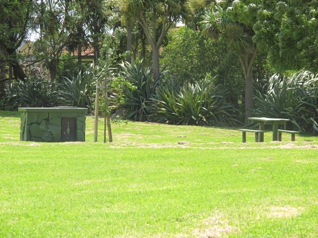
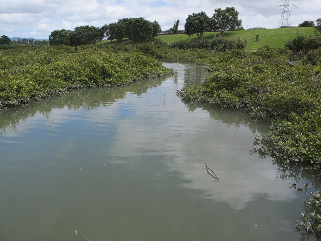
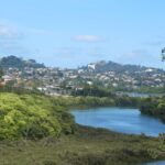
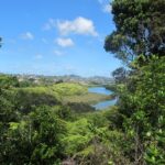
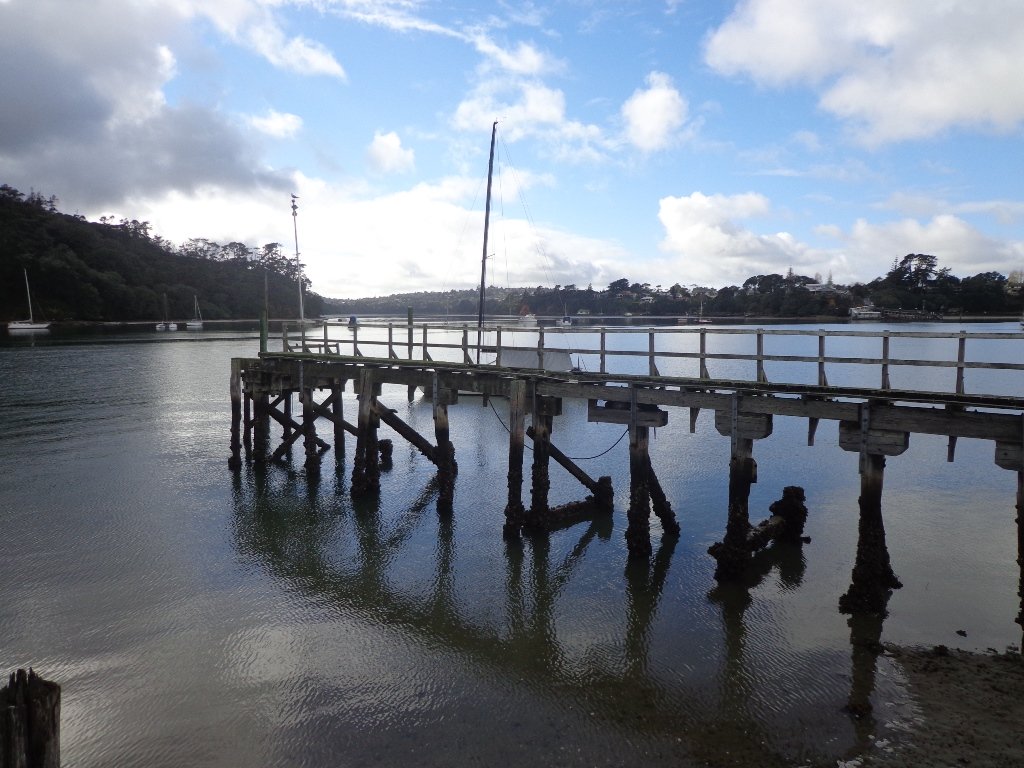
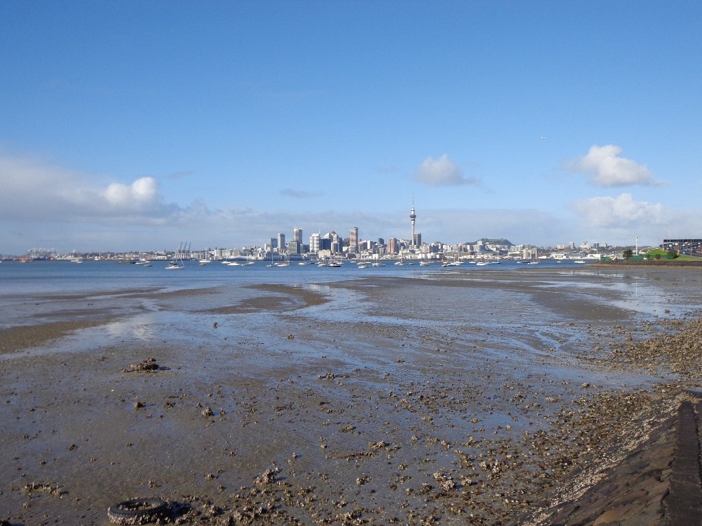
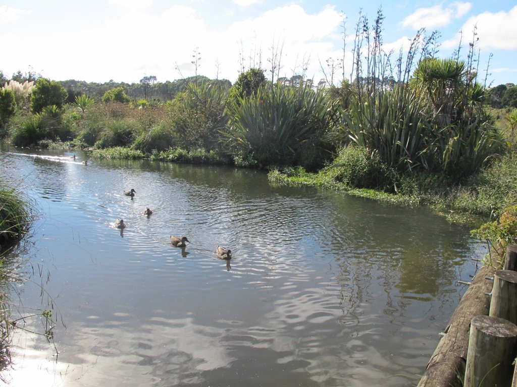
The Avondale Whau River walkway from New Lynn, was a new discovery yesterday. The Whau River is almost full of mangroves but it does have a boardwalk going across thanks to Dawn Persson’s commitment to the Avondale Community.
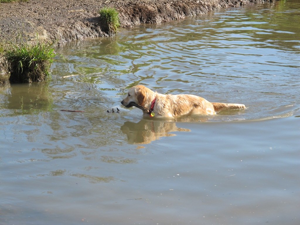
This is a dog friendly walk with an off-leash exercise area and is a mostly flat walk – just one gentle rise after the boardwalk. The walking route is also suitable for prams/buggies.
You may like to pack a picnic or take advantage of the nearby New Lynn Cafes.
Description: A mix of mainly level paths and one slightly steep path. Suitable for users of average fitness and mobility. May require boots in wet weather, running shoes suitable in dry weather. To see: Water birds, Mangroves, river views, boardwalk Time: approx. 50 minutes. (about 6 kms) Parking: Lynn Mall Shopping Centre Carpark
Stay on track…get your detailed guide and map (AW-030 Whau River Loop) over at our Walks Store and our Book Store (one of 12 walks featured in our books “Dog Friendly Walks part 2” and “Best of the West“).
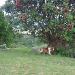
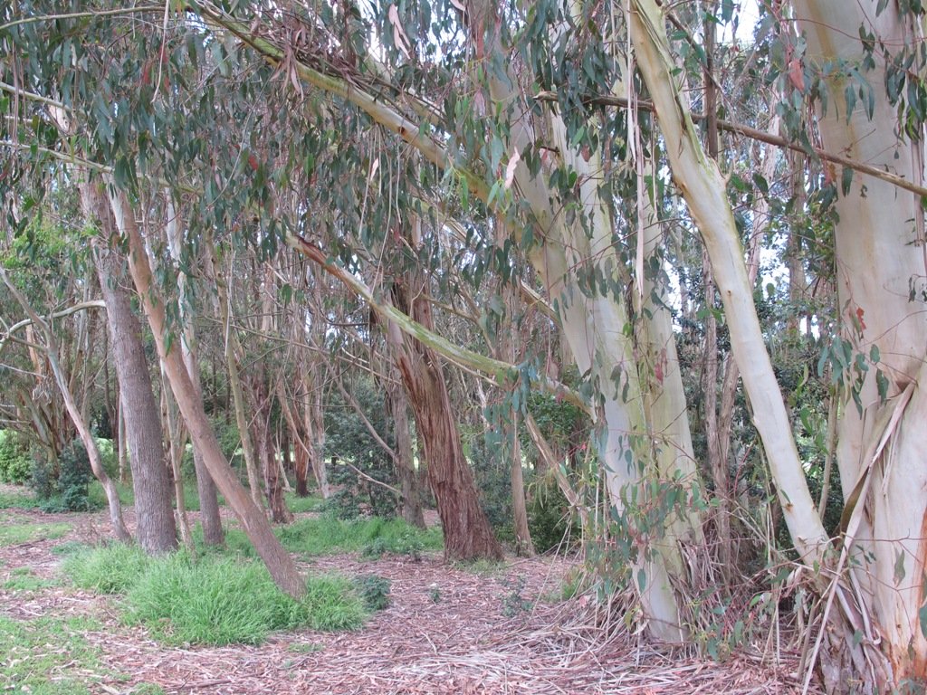
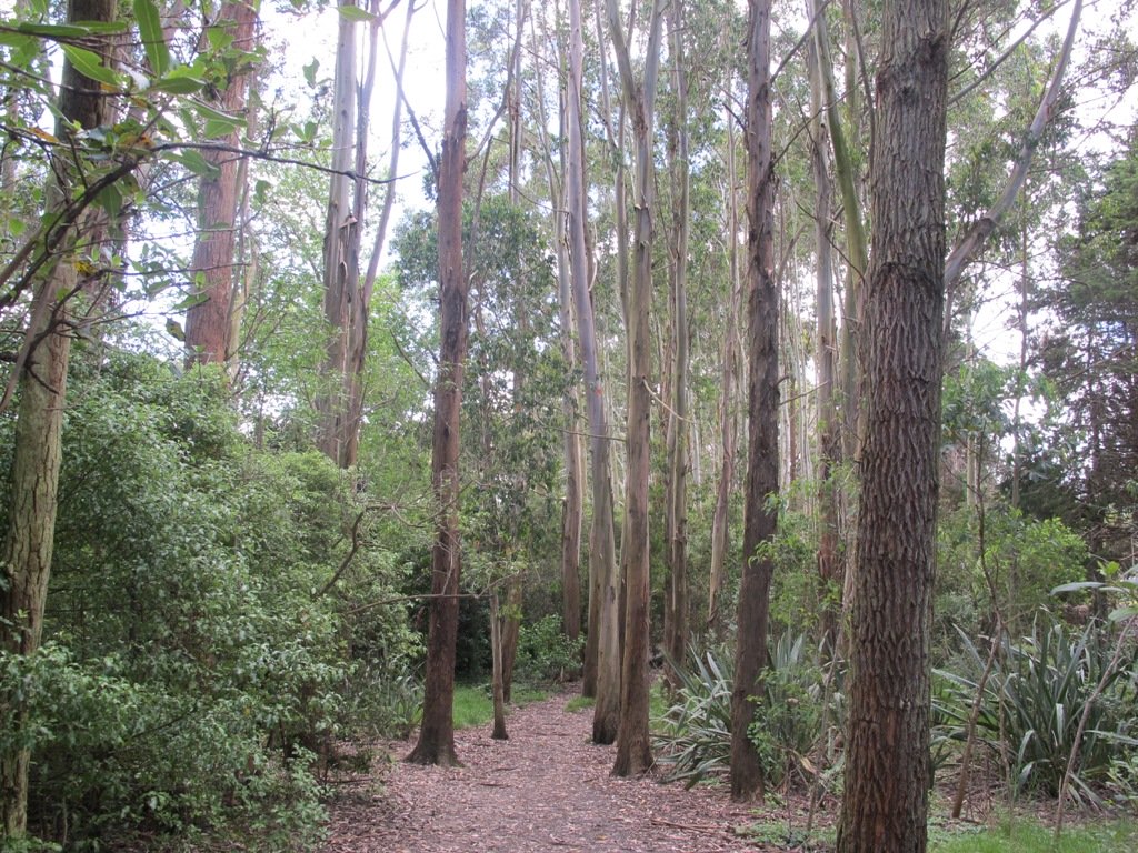
The Henderson Opanuku Stream walk comes under Project Twin Streams. A great deal of progress has been made. It is a very pleasant short bush walk among the native trees – two giant kauris and many macrocarpas, and the sound of birds. This is a dog friendly walk with an off-leash area. And a mostly flat walk.
More work needs to be done on making sign posting clear to encourage more people to get out and discover what a beautiful area it is. The area would also benefit from BBQ areas and children’s playgrounds to encourage more families to enjoy the outdoors.
The walking route is also suitable for prams/buggies and dog walkers (on leash only).
This is another walk that you can get to by rail and make it a day outing as Henderson Railway Station is close by. You may like to pack a picnic or take advantage of the Henderson Cafes.
Description: Mostly level paths. Suitable for users of average fitness and mobility. May require boots in wet weather, running shoes suitable in dry weather. To see: Trees and fauna, stream, parks. Time: approx. 75 minutes. (about 5.2 kms) Start: Opanuku Reserve off Henderson Valley Road MAP
Stay on track…get your detailed guide and map (AW-029 Henderson Opanuku Stream Circuit) over at our Walks Store and our Book Store (one of 12 walks featured in our books “Urban Bush” and “Best of the West“).
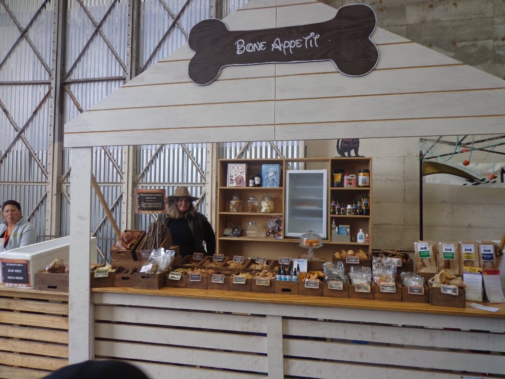
Have you ever wondered what a “Block House” is? Well, today I found out. The last Saturday of the month is Market Day in Blockhouse Bay’s main street. At the street stalls you can buy fresh fruit and veggies, fish, delicious breads, plants, sweets, dog food and more.
On Market Days (and each Tuesday) the Blockhouse Bay Historical Society opens the doors of Armanasco House (on the Village Green next to the library). Today I met Keith who explained to me that the old block house was a military building that was built so that it could withstand (or ‘block’) musket ball penetration. There were several block houses that were built in Auckland to protect the city from invasion during the Maori Wars.
The block house of Blockhouse Bay no longer exists, but the Society has a collection of photos and memorabilia, plus members have many fascinating stories.
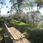
This Blockhouse Bay circuit walk begins at the National Bank, winds through the newly renamed Gittos Domain (it was called Avondale South Domain) to Flounder Bay. It is an undulating short bush walk with steep paths and steps to test our fitness levels. There are many bench seats along the way. It is very peaceful with just the sound of birds. Many of the native trees have been sign-posted. At low-tide it is possible to walk along the edge of the Bays.
This is a dog friendly walk with an off-leash exercise area.
Description: A mix of level paths and steep paths/steps. Suitable for users of average fitness and mobility. May require boots in wet weather, running shoes suitable in dry weather. Caution: Muddy and slippery when wet. To see: Native bush, Manukau Harbour views Time: approx. 45 minutes. Start: Blockhouse Bay Road Suggested Cafes: The Block, The Bay Cafe and Icoco Cafe.
Stay on track…get your detailed guide and map over at our Walks Store (AC-027 Blockhouse Bay and Gittos Domain) and our Book Store (one of 12 walks featured in our books “Urban Bush” and “Coastal part 1”).
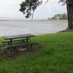
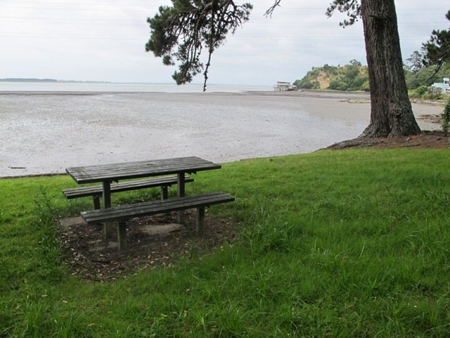
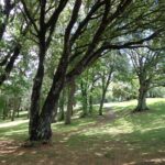
One of my favourite short bush walks in Auckland is the Dingle DellReserve and St Heliers circuit. On a sunny day St Heliers village has a holiday feel about it – with the harbour water sparkling, the golden sand and people enjoying the waterfront. Contrasted with the quietness of the native bush in Dingle Dell.
This is a dog friendly walk with an off-leash exercise area. There is a children’s playground at the corner of Maddills Farm and Allum Street. Plus a picnic area in Dingle Dell Reserve. And a good choice of cafes along the Tamaki Drive waterfront.
Description: A mix of level paths, gradual inclines and bush tracks. Not wheel-friendly. Suitable for users of average fitness and mobility. May require boots in wet weather, running shoes suitable in dry weather. To see: Sea/harbour views, beach, residential homes, native bush, views of Mt Victoria and North head. Time: approx. 60 minutes (about 5.38km). Parking: Along Tamaki Drive, St Heliers (note Parking Time Zones) Buses: Tamaki Drive, St Heliers MAP
Stay on track…get your detailed guide and map over at our Walks Store (AE-003 Dingle Dell) and our Book Store (one of 12 walks featured in our books “Urban Bush” and “Best of the East”).
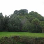
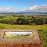
Big King is all that remains of the Three Kings volcano cones after the others were quarried away. 15,000 years ago there used to be three scoria mounds; the result of Auckland’s largest explosion crater measuring 800 metres across and 200 metres deep.
The lava flow from this volcanic center overflowed into a 10 kilometer ‘river’ that terminated at Meola Reef at the Waitemata Harbour.
This circular walk in Auckland takes us to the top of what remains of the volcano, parks and playgrounds with views of Mount Eden, One Tree Hill, Rangitoto, Manukau Harbour and the City skyline.
Description: A mix of level paths, steep paths and steps. Not wheel-friendly. Moderate fitness. Caution: muddy and slippery paths when wet. Sturdy shoes recommended. To see: Volcanoes, gravel pit, parks and playgrounds, 1960’s state housing. Wonderful views of Manukau Harbour, South Head and the Waitakere Hills. Count the number of volcanoes you can see. Time: approx. 45 minutes. (about 3.45 kms) Start: Main carpark off Duke Street (off Mt Eden Road) MAP
Suggested cafes: 1) Orvieto, (dog friendly) Mt Eden Road 2) The Eiffel Cafe (further south down Mt Eden Road towards Mt Albert Road) Both cafes serve great coffee and tasty food.
Stay on track find this walk and other walks over at our Walks Store (AC-002 Big King) and our Book Store (Volcanoes, Dog friendly part one).
Kepa Bush is another short walk in Auckland treasure that contains bush trails and native trees, flora and fauna that is easy to get to.
The circuit takes about 30 minutes, and it provides views of the bush, 3 volcanoes (One Tree Hill, Mt Hobson and Mt Eden) and Orakei Basin, which all happen to be walks that we have documented. Kepa Bush Reserve is a cool shady walk for hot summer days. It is quiet and peaceful – and still in the city! The track is not well maintained, so be sure to wear sturdy footwear.
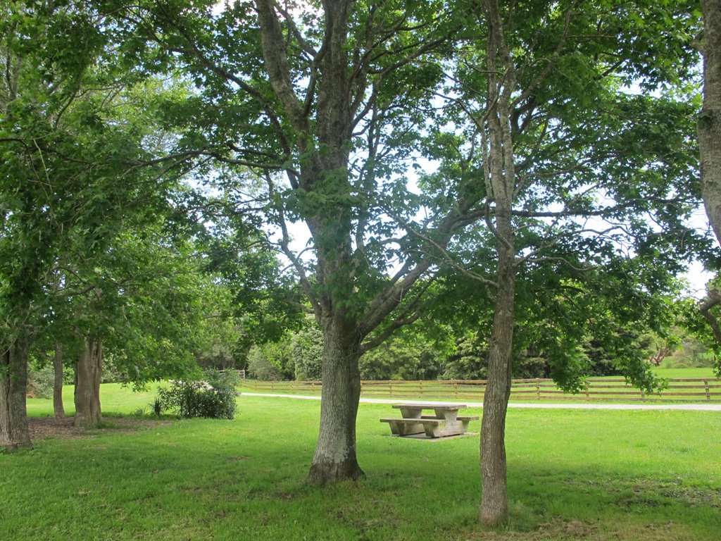
The grass reserve has picnic tables, and space to kick a ball around.
Kepa Bush Reserve is beside Eastridge Shopping Centre, where you can leave your car and stop for a coffee afterwards.
Download the FREE Kepa Bush Reserve guide and map here
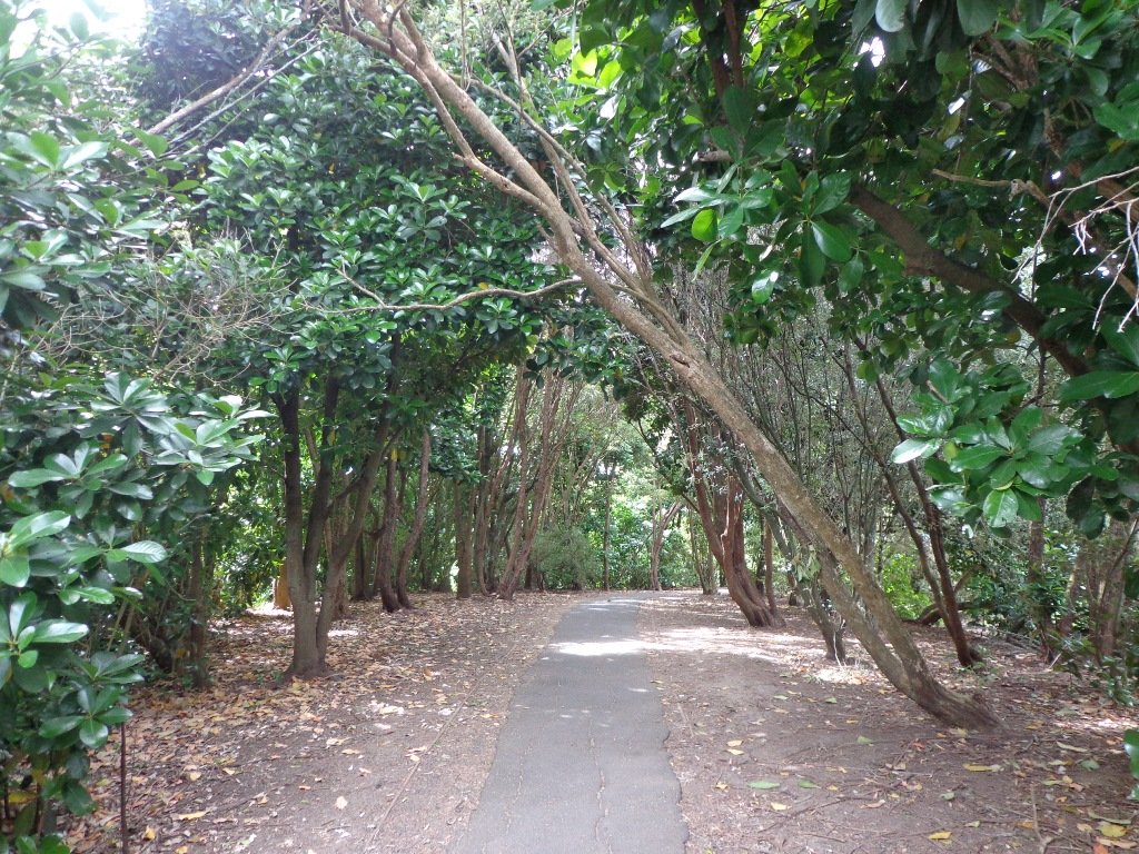
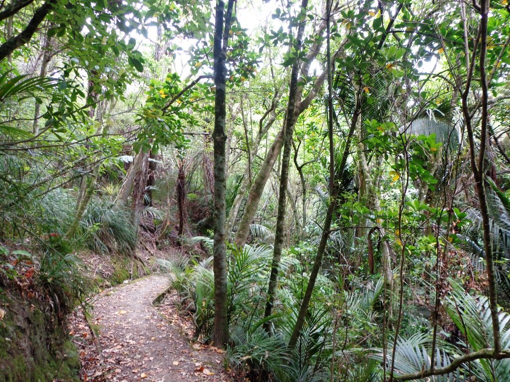
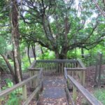
Today was my first visit to St Johns Bush. This little gem of a nature walk is in a reserve of beautiful native trees and bush, with a stream and a mighty Kauri tree.
This is a great spot to take vistors to show them native New Zealand bush without having to drive to the Waitekere Ranges.
The only sounds we could hear were the calling of the birds, the rain dripping off the trees and the running of the stream. All this in an urban area!
We arrived via a back entrance so we got a little lost at first, however once we found the main entrance and a map, it all became clear.
There is no nearby cafe, so we drove up to nearby Meadowbank shops and found a choice of 3 cafes.
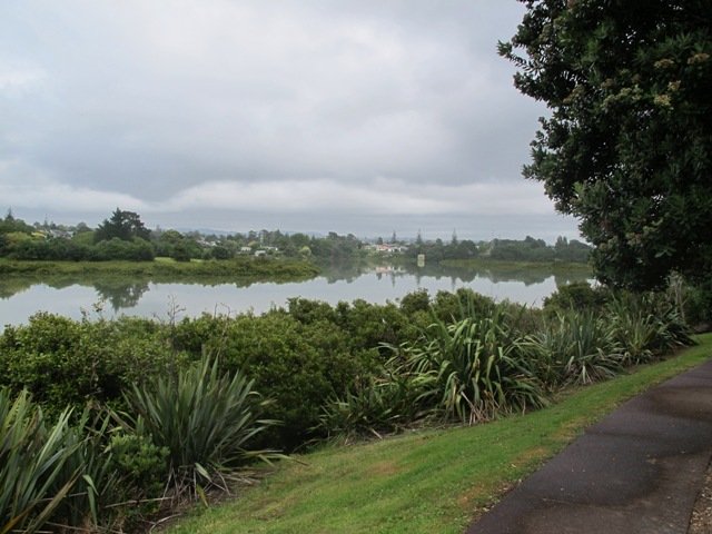
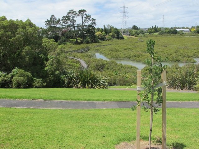
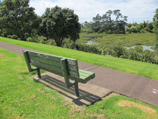
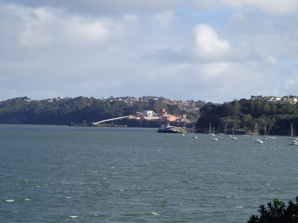
Today I was shown an interesting waterway – Meola Creek. It is hidden between the St Lukes shopping hub and Mt Albert Grammar School. Meola Creek is the result of run-off from Mt Albert, Mt Eden and Three Kings and runs over and under ground (in pipes) out to Waitemata Harbour at Meola Reef.
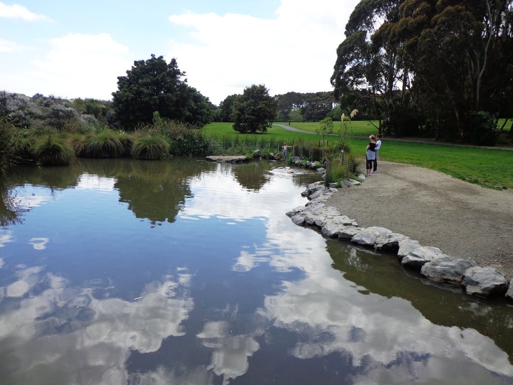
The St Lukes Environmental Protection Society (STEPS) has been very active getting Meola Creek clean, the area planted with natural habitat and a boardwalk built (Roy Clements Treeway). Elizabeth Walker, a member of STEPS very kindly showed me around. This historic map clearly shows Meola Creek. Elizabeth has since shown me one of the sources of Meola Creek – an overgrown area covered in toxic weeds, behind Haverstock Road. It would be wonderful to see the area restored to allow more water fowl to live there.
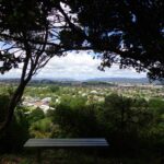
The view from Mt Albert across to the city skyline and the top of Rangitoto Island shows how spread out the city of Auckland is. There is an off leash dog area in Kerr-Taylor Park and a fenced off-leash area at the top of Mt Albert. (See other Dog Friendly Walks)
HISTORY. Nearby is the historic mansion ‘Alberton‘ on the corner of Kerr-Taylor Avenue and Mt Albert Road. Further historical information can be found in the archives of the Mt Albert Historical Society here and here. ‘In old Mt Albert’ by Dick Scott (this book is available from Auckland Libraries) tells the history of Mt Albert from 1911 to 1961. You may wish to download the Mount Albert Heritage Walks brochure.
Description: A mix of level paths and steep paths/steps. Suitable for users of average fitness and mobility. May require boots in wet weather, running shoes suitable in dry weather. Caution: Muddy and slippery when wet. To see: Volcano crater, boardwalk and water birds, reclaimed creek vegetation, Auckland City views, Waitemata Harbour views, glimpses of Manukau Harbour and the Waitakere Hills. Off leash dog areas. Children’s playground. Time: approx. 60-75 minutes, about 5.4 kms. MAP Suggested cafes: Pyrenees French Delicatessen and Parkside Cafe
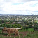
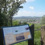
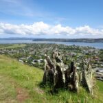
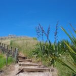
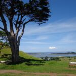
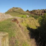
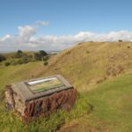
I have driven past Mangere Mountain many times without realising where it was. I knew of it, but hadn’t seen it. I discovered it last year and found that it’s a huge and unspoiled volcano with fabulous views across the Manukau Harbour. Mangere Mountain has little exposure from the motorway to the airport, but on it’s western side it looms high (106 metres above sea level), from the Harbour shores. This volcano does not have paved paths and roads like Mt Eden or One Tree Hill. It erupted about 18,000 years ago and is in the most original condition.
Description: A mix of level paths and steep paths. Caution: Muddy and slippery when wet. Suitable in dry weather. Suitable for most ages and levels of fitness and mobility, designed with flat shoes or running shoes in mind. Not suitable for wheelchairs and pushchairs. To see: Volcano crater and rim, Manukau Harbour views, views of other volcanoes. Time: approx. 45 minutes (3.69kms) Start: Coronation Road, Mangere Bridge Village There is a children’s playground and an off-leash dog area. (See other Dog Friendly Walks) Mangere Village has several cafes.
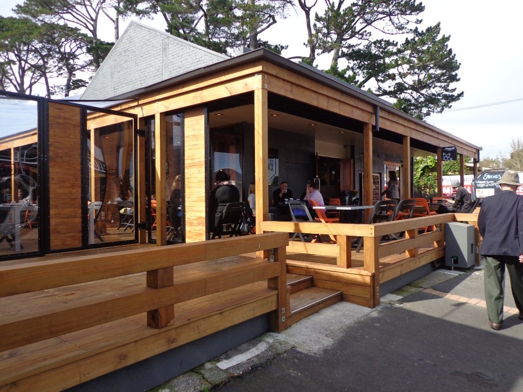
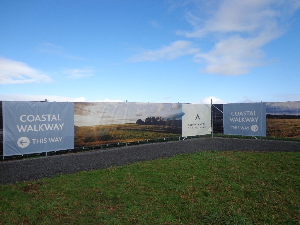
Today’s discovery walk was at Hobsonville Point. A good friend of mine had already told me about how wonderful the Catalina Cafe is on a sunny day. And then today I read about Hobsonville Pt Park children’s playground which is quite unique – made from sustainably sourced materials.
The family friendly walk explores the former air base with the very few remaining old buildings. There is a great deal of development going on with new housing and a planned ferry service to the CBD from ‘The Landing’ (which used to be the launching and landing place for flying boats, including Sunderland and Catalina planes). The historic buildings are being demolished at a fast pace to make way for new housing, so if history is your thing, get down there before it is completely gone.
The walking route is also suitable for prams/buggies and dog walkers (on leash only as of August 2014).
This walk takes about 60-80 minutes and is ideal for spring and autumn (too hot in summer and too muddy in winter). There is a lot to explore if you haven’t been here before. This is a dog friendly walk with an off-leash area and is a mostly flat walk.
Please note: As this area is under constant development, the walking route and the off leash dog exercise area, may be subject to change.
Description: Level sealed paths and bush track. Suitable for users of average fitness and mobility. May require boots in wet weather, running shoes suitable in dry weather. Suggested spring/autumn walk. Caution: Muddy and slippery when wet. To see: Hangars, barracks, officers housing, seaplane slipway, Auckland harbour views, weekend markets. Time: approx. 60-80 minutes. (about 5.5 kms) Start: Opposite Catalina Café off Buckley Avenue MAP
You may wish to download our free Hobsonville Point walkway brochure when you enter your contact details here or find your own route here.
Stay on track…get your detailed guide and map (AW-013 Hobsonville Point) over at our Walks Store and our Book Store (one of 12 walks featured in our books “Dog Friendly Walks part 3” and “Best of the West“.
I felt like a tourist in my home city this morning! The morning was stunning after last night’s opening of the Rugby World Cup 2011. The skies were blue and the water still in the harbour, with just a little mist left around the edges. I had not explored Northcote Point before (it would have been a fine vantage point for the previous night’s fireworks display).
We had not prepared a route – it was a discovery walk and we were well rewarded. Views of Auckland City. Dwarfed by the pylons of the Auckland Harbour Bridge. A new-found path along the motorway. And an interesting mix of old and new residential homes. Plus children’s playgrounds as a reward for children. All made for a fun walk.
Download the Council’s Heritage walk brochure here.
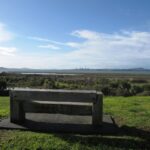
Description: A mix of level paths and steep paths/steps. Suitable for users of average fitness and mobility. To see: Auckland City views, Waitemata Harbour views, Harbour bridge foundations. See if you can spot Mt Eden, Mt Victoria and the Chelsea Sugar Refinery. Time: approx. 70 minutes. (about 5.85 kms).
Stay on track…get your detailed guide and map (AN-021 Northcote Point Loop) over at our Walks Store and our Book Store (one of 12 walks featured in our book “Coastal part 1”).
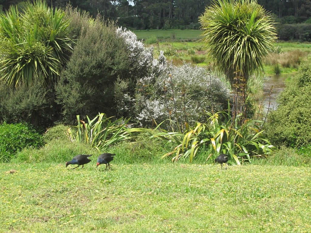
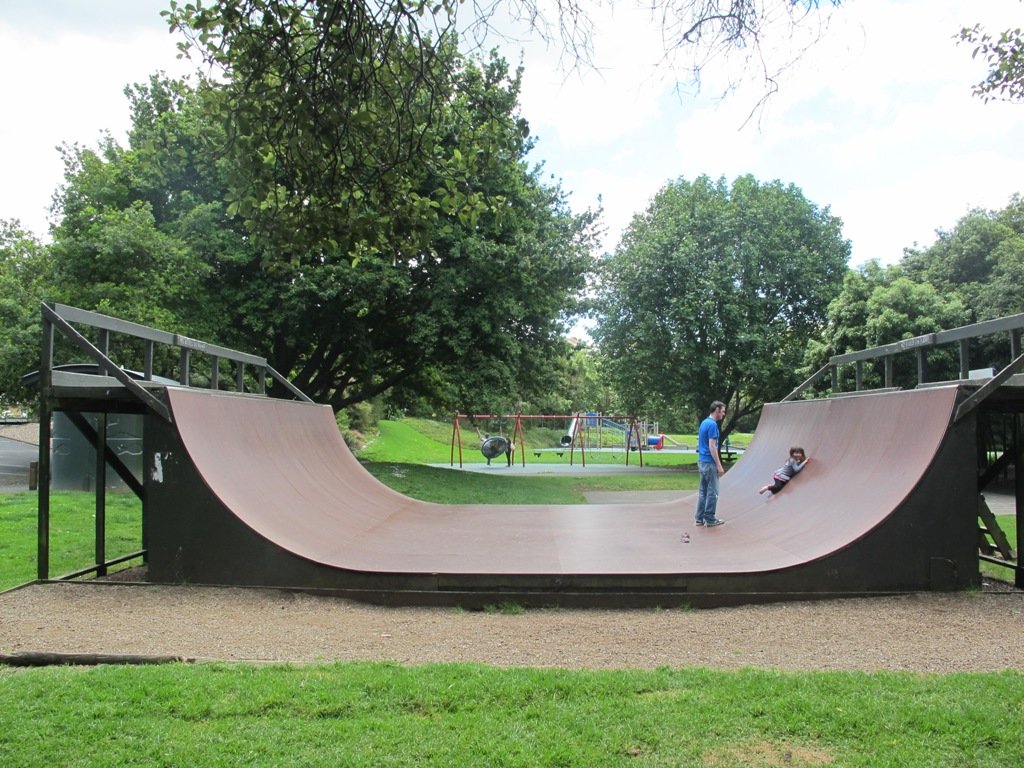
Waiatarua Reserve has something for everyone. The reserve is a large wetland (see the pukeko and other water birds) with paths suitable for walking, jogging, wheelchairs (not electric wheelchairs) and cycling (paths not suitable for small wheels like scooters).
The walking route is also suitable for prams/buggies with large wheels.
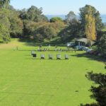
It has a children’s playground, picnic tables, viewing platforms, a Basketball half court, a Skate park.
This is a dog friendly, mostly flat walk (watch out for puddles after rain) with an off-leash exercise area. It has been called “Auckland’s best dog park” (See other Dog Friendly Walks).
In some places, you could imagine that you are a long way from civilization, because all you can hear are the birds and all you can see are trees.
The walk is signposted to be 60 minutes long, we walked just over 3 kms, which makes it a short family friendly walk.
Description: Mostly level paths with very slight inclines. Suitable for users of average fitness and mobility. May require boots in wet weather, running shoes suitable in dry weather. To see: Wetlands, Ducks and Pukeko birds habitat. Time: approx. 30-60 minutes depending on what you decide (about 3.3 kms) Start: Car park off Grand Drive MAP Suggested Cafe:Hollywood Bakery in Lunn Avenue
Stay on track…get your detailed guide and map over at our Walks Store (AC-035 Waiatarua Reserve) and our Book Store (one of 12 walks featured in our book “Dog Friendly Walks part 1”).
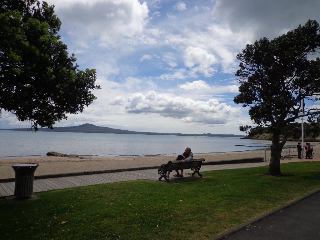
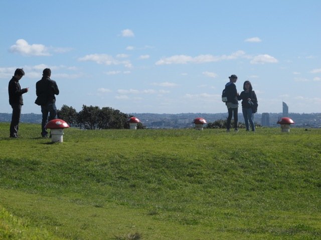
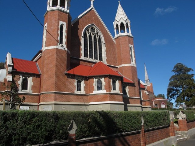
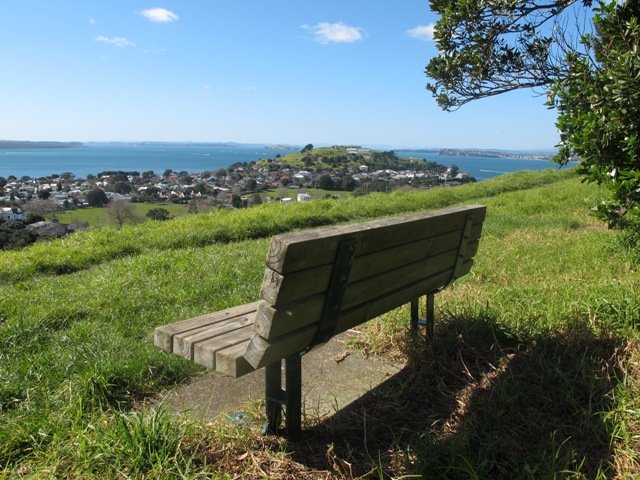
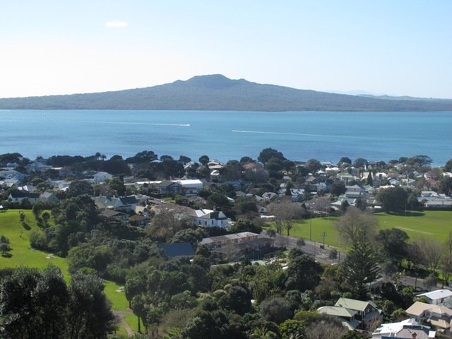
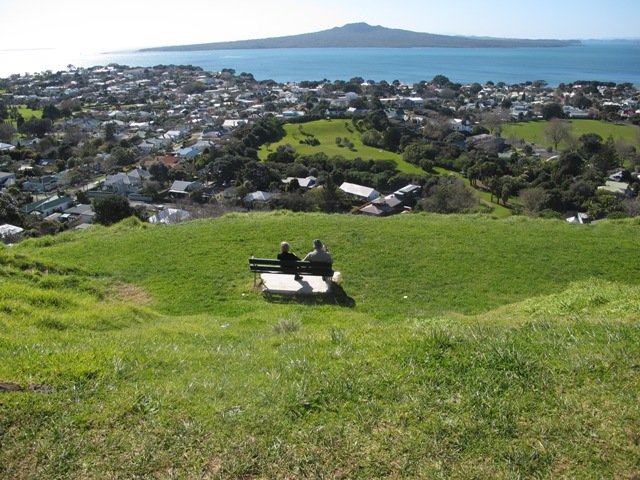
Today was clear and sunny, which called for a walk and climb to look over Auckland from up high from Mount Victoria. Mt Victoria provides spectacular views – it is higher than North Head and closer to Auckland City. This walk has a dog friendly off-leash area. (See other Dog Friendly Walks) And Devonport’s village-style shops and cafes is always a great place to visit and walk around. It’s fun to arrive in Devonport by ferry. And you could spend the whole day there – spend half the day at North Head and the other half at Mt Victoria with a lunch and shop browse in-between…..
Description: A mix of level paths, steep paths and steps. Suitable for most ages and levels of fitness and mobility, designed with flat shoes or running shoes in mind. Not suitable for wheelchairs and pushchairs. To see: Wonderful views of Rangitoto, Hauraki Gulf and Auckland City, historical buildings. Mount Cambria Reserve – A volcanic cone that is now a park, having been quarried away for roading, garden walls and ship’s ballast. Victoria Picture Palace/Theatre – built in 1912, oldest cinema in NZ. Fort Mt Victoria and the Disappearing Gun. St Francis De Sales Catholic Church, St Paul’s Presbyterian Church, Devonport Cemetery History: https://www.devonport.co.nz/heritage.htm Time: approx. 60 minutes. MAP
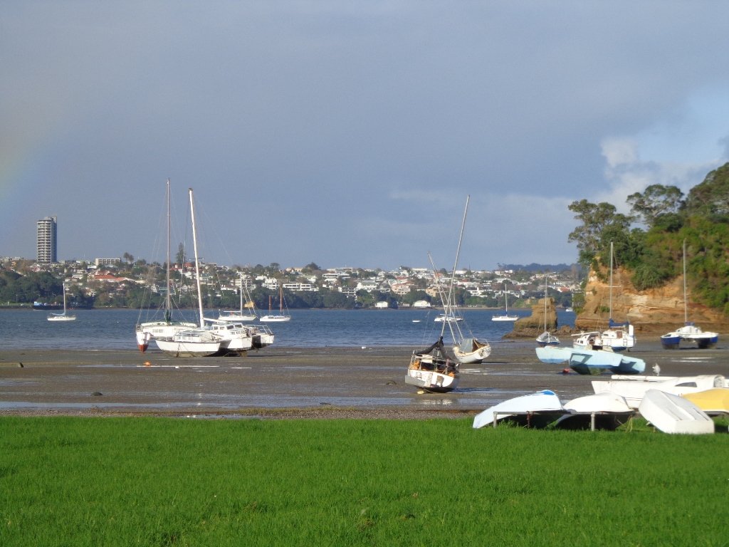
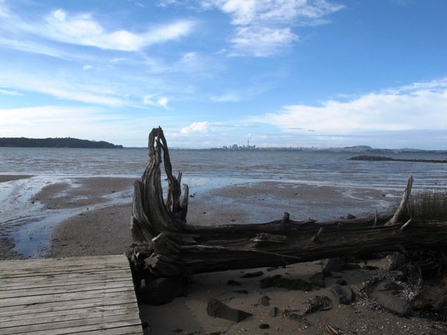
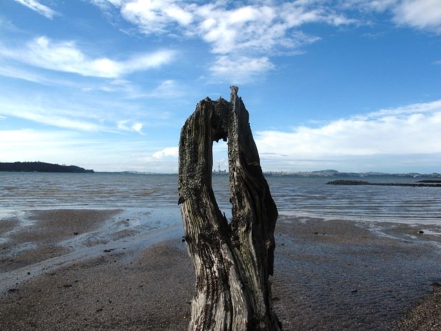
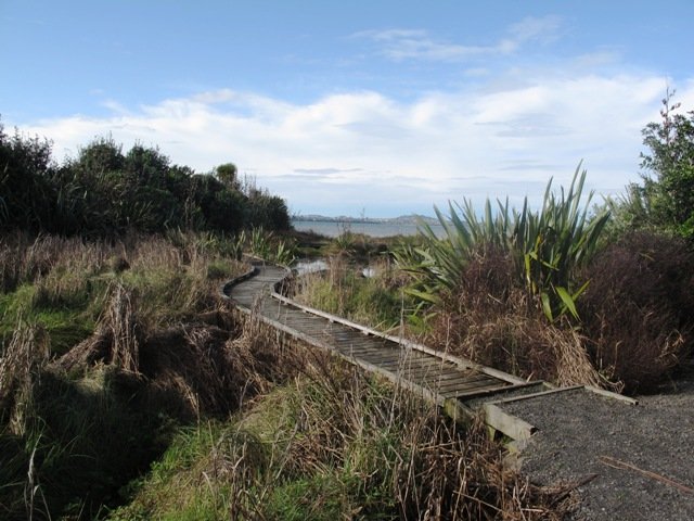
The Te Atatu Peninsula Walk provides wonderful views of Auckland harbour – the Chelsea sugar factory, the Sky Tower, Rangitoto Island and the Harbour Bridge. You could almost be on an island! And the water looks beautiful at both high and low tides, dotted with mangroves.
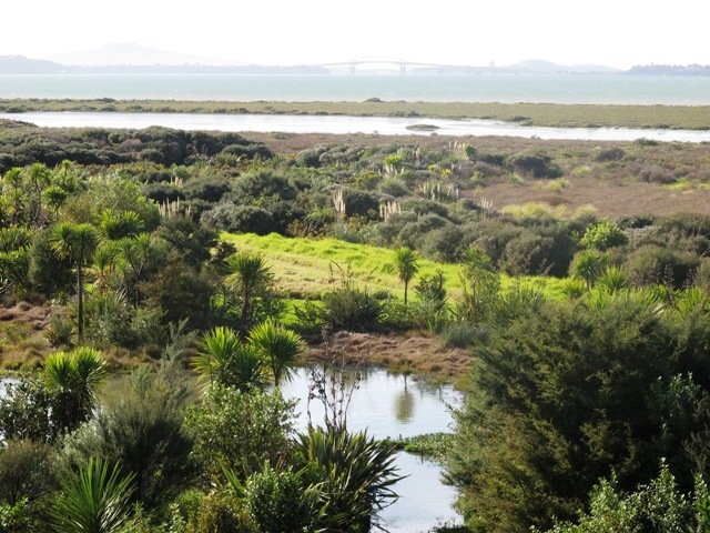
On the eastern side of the Peninsula, specially created salt marsh wetlands on the lower terrace at Harbourview – Orangihina provide natural habitat to an abundant wildlife (fern birds, New Zealand Dotterel, oystercatchers, herons, Caspina terns, godwit and varous gulls).
There are boardwalks and a picnic platform out over the water at Harbourview Beach Reserve.
The walking route is suitable for cyclists, prams/buggies and dog walkers (on leash only to help protect the bird life that lives around the foreshore).
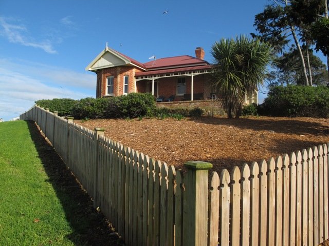
Fans of the New Zealand TV series Nothing Trivial Season One may recognize Michelle’s house and her exercise path.
Description: 6.25km loop walk. Mainly level paths – a mixture of paved, loose metal and boardwalks . Caution: Puddles after rain. Suitable for most ages and levels of fitness and mobility, designed with flat shoes or running shoes in mind. Suitable for wheelchairs and pushchairs. Children’s Playground=Yes To see : Waitemata Harbour views, natural habitat, shore birds MAP
Stay on track…find this walk’s map and directions guide (AW-019 Te Atatu Peninsula) and other walk self-guides at our Walks Store and our Book Store (“Coastal Part One” and “Best of the West“).
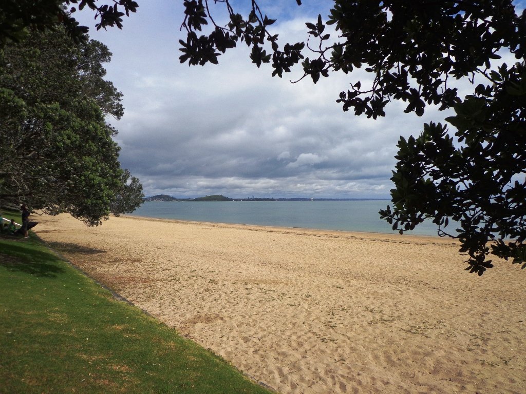
It was a big decision today, do we do the Mission Bay walk this morning, this afternoon, tomorrow… The weather was looking grim and the weather forecast even grimmer. We decided – this morning. It rained on and off, there was a bit of blue sky, and the coffee at De Fontein was very good!
Mission Bay buzzes on sunny summer bays with lots of activity in the water, the foreshore and the cafes. It was still busy today with people braving the rain because it was not that cold. What is there to do in Mission Bay? Click here.
This walk takes you along the short beach promenade and up on the clifftops overlooking Hauraki Gulf and the city skyline. You do have to look out for cyclists when you walk along the shared pathway.
Mission Bay has a great choice of cafes, eateries (Japanese, Indian, Mexican, Italian…) and one special ice-cream parlor! Meet your friends by the fountain and enjoy the fresh salt air by the harbour.
Description: A mix of level paths, steep paths and steps. Suitable for most ages and levels of fitness and mobility, designed with flat shoes or running shoes in mind. Not suitable for wheelchairs and pushchairs.
To see: Wonderful views of Rangitoto, Hauraki Gulf and Auckland City.
Dogs: On leash only. Children’s Playground=Yes
Start Point: Tamaki Drive, Mission Bay
Stay on track…find this walk’s map and directions guide (AC-018 Mission Bay Loop) and other walk self-guides at our Walk Store