Category Archives: Auckland Bush walks

Many of the hidden gems within Auckland City are the pockets of native bush that have been restored and nurtured. We do not have to travel far from the city to see native trees, bush and palms.
Our 4th book of 12 circular walks in our Short Walks in Auckland series is titled “Urban Bush” and it will soon be available from Amazon and your local library.

Auckland Nature Walks

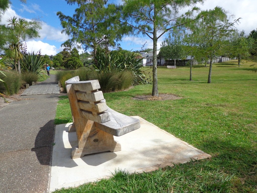
We have complied four books of short circular nature walks in Auckland that help you to discover volcanoes, native bush and the vast coastal areas. These short walks are great for young children to learn about the environment, to appreciate what they can discover when they go out walking, and to obtain the pleasure of walking.

These four “Nature Walks” books are now available on Amazon and from your local Auckland library.
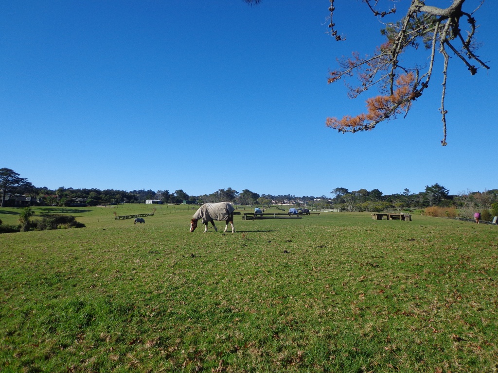
Volcano Walks in AucklandVolcanoes
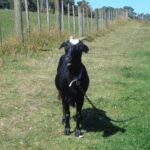
The twelve volcano sites that we visit are: Three Kings, Glover Park, Lake Pupuke, Mangere Mountain, Mount Eden, Mount Victoria, Mt Albert, North Head, One Tree Hill, Orakie Basin, Pigeon Mountain and Meola Reef.
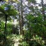
Urban Bush walks in AucklandUrban Bush
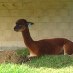
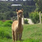
How many cities do you know that still contain the native bush? The twelve native bush areas we visit are: Bayview, Blockhouse Bay, Dingle Dell, Hillsborough, Le Roys Bush, Moire Park, Oakley Creek, Opanuku Stream, Parnell Albaron, St Johns Bush, Tahuna Torea, Totara Park.
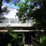
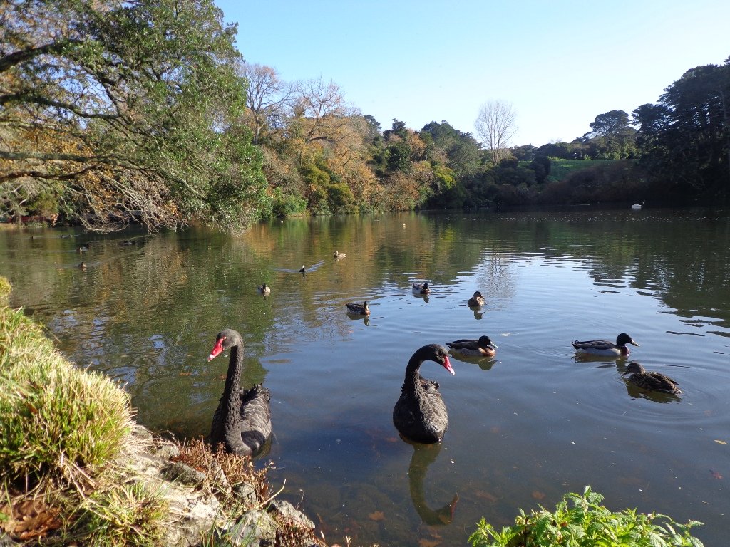
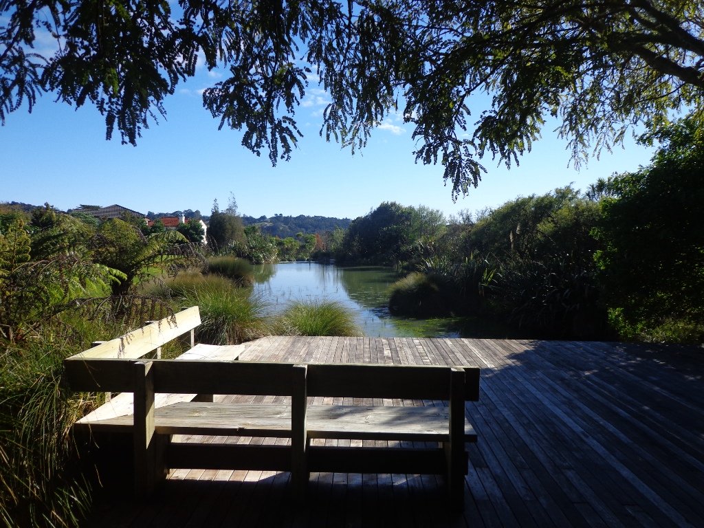
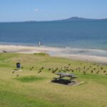
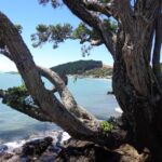
Coastal Walks
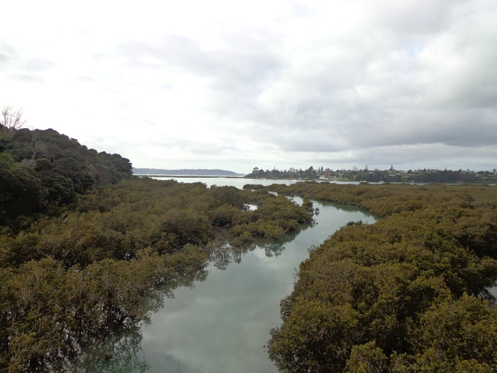
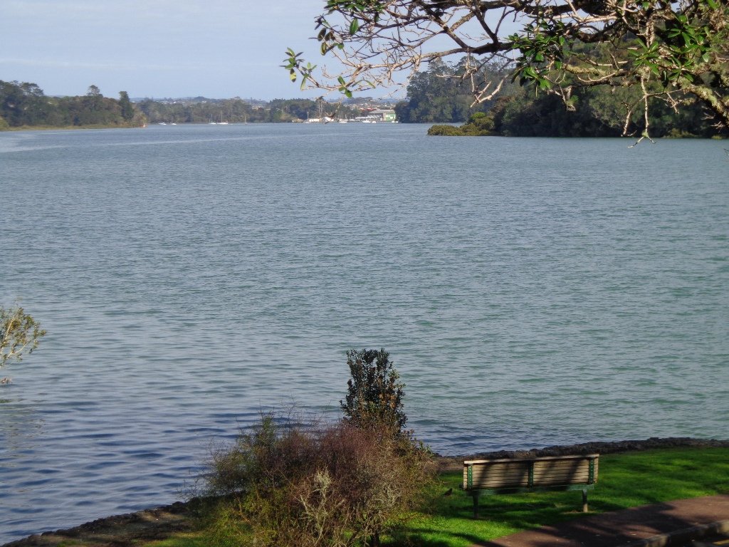
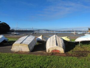
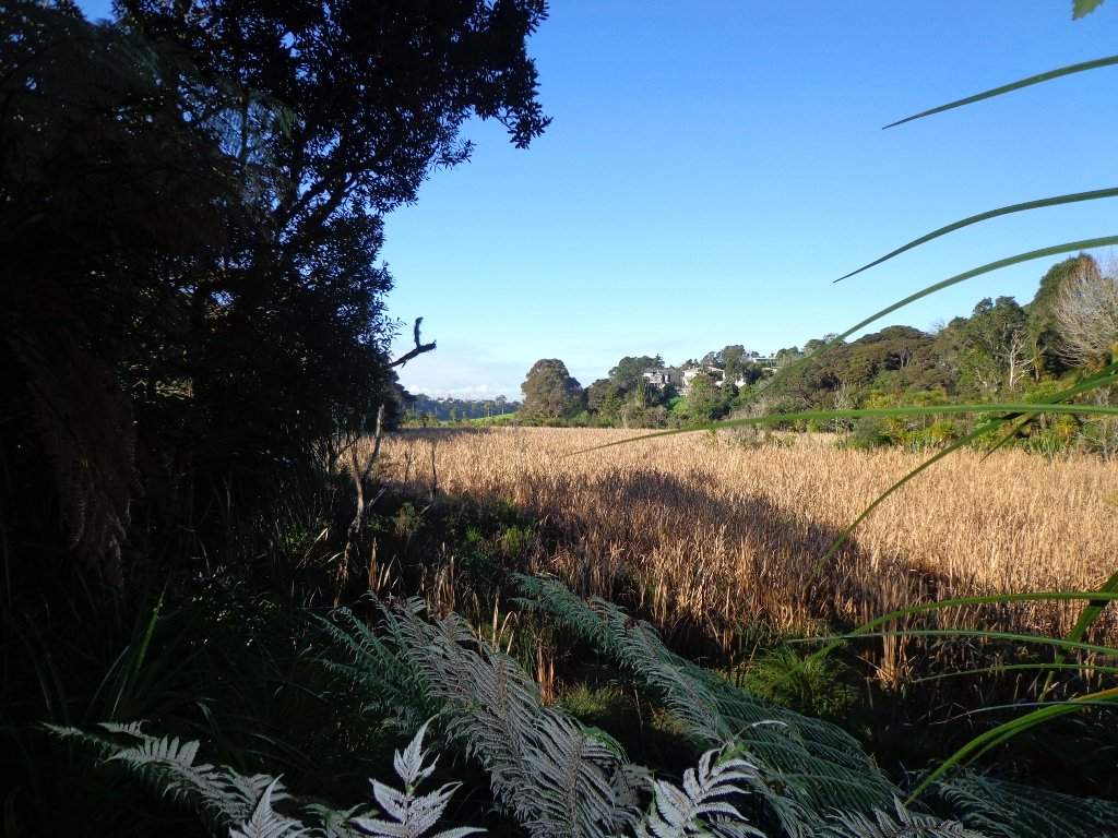
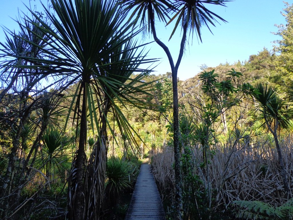
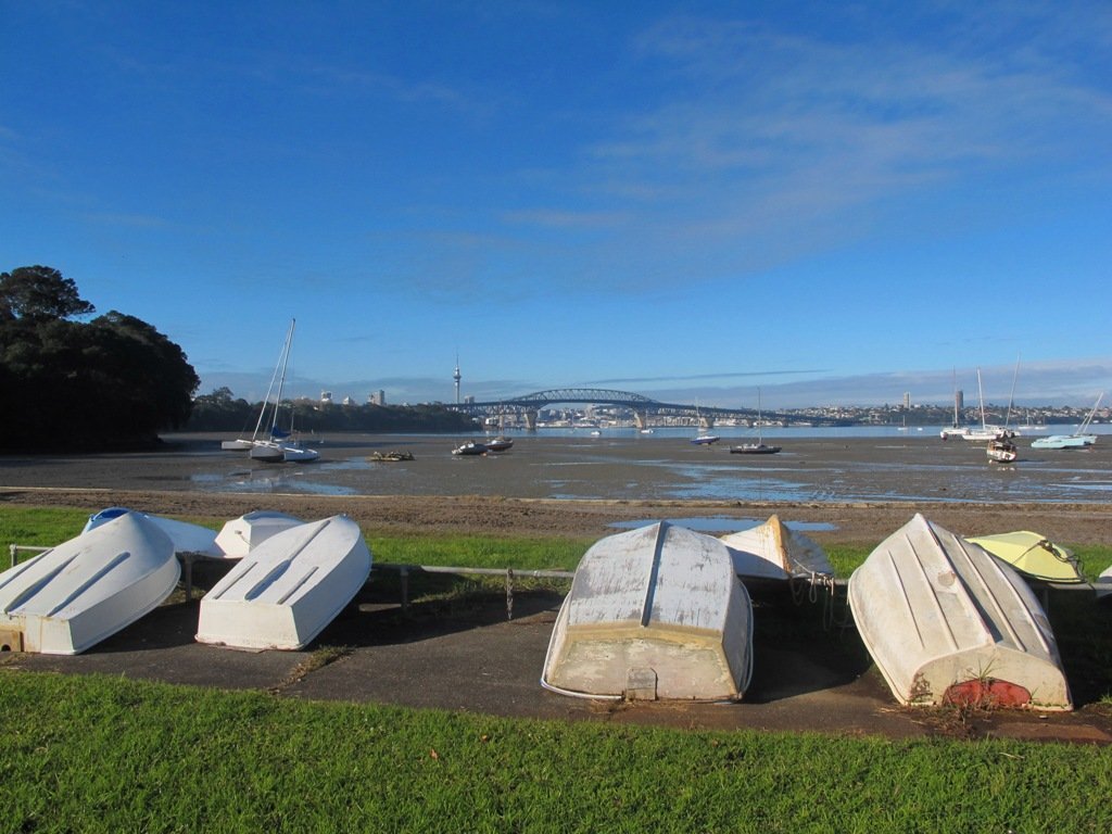
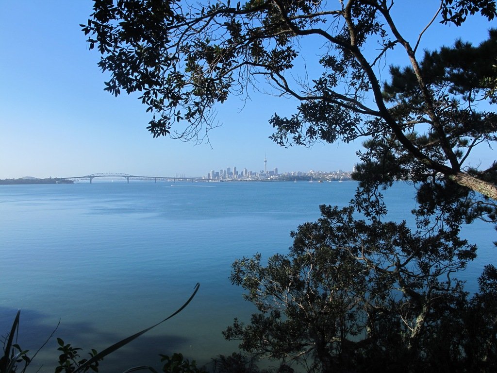
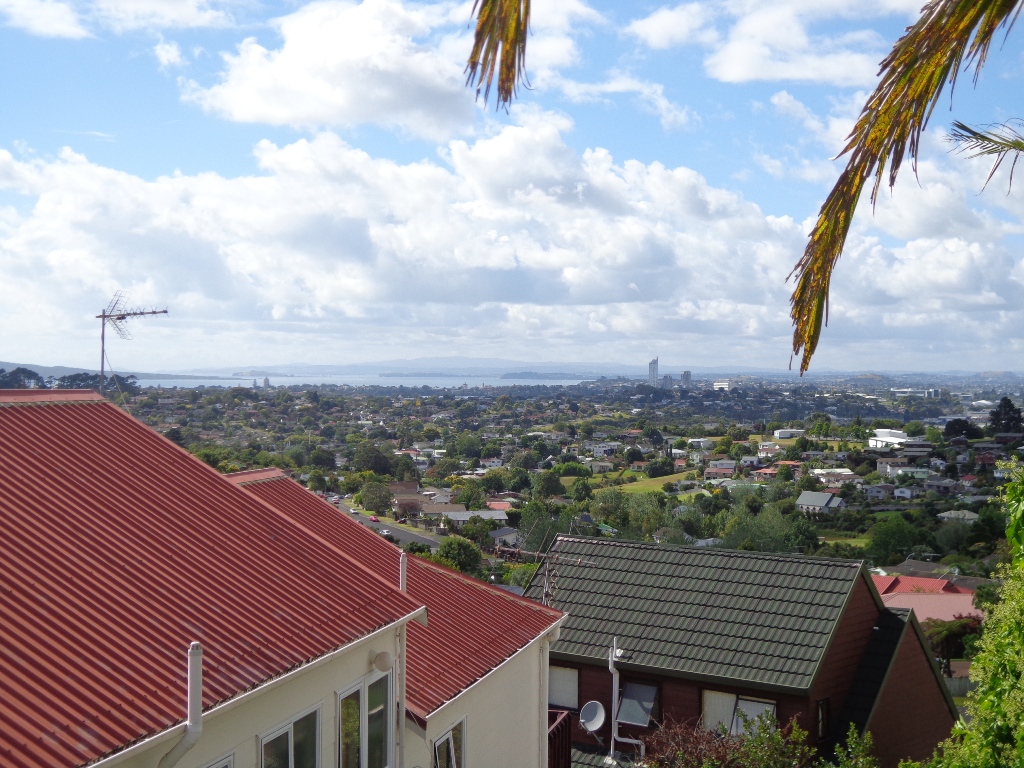
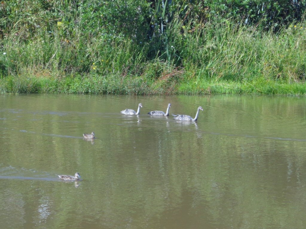
From inlets to harbours there are many coastal paths to explore.
coastal walksin Auckland part oneCoastal Part one
The coastal areas we visit are: Ambury Park Farm, Blockhouse Bay Gittos Domain, Churchill Park, Hillsborough, North Head, Northcote Point, Parnell, Remuera to Hobson Bay, Tahuna Torea, Te Atatu Peninsula, Wattle Downs, Wynyard Quarter.

Coastal walks in Auckland part twoCoastal Part Two.
The coastal areas we visit are: Belmont, Conifer Grove, Half Moon Bay, Hobson Bay walkway, Mangere Esplanade, Mission Bay, Onehunga Foreshore, Point England, Point Erin, Takapuna, West Harbour, Meola Reef.

These four “Nature Walks” books are now available on Amazon, The Women’s Bookshop in Ponsonby and from your local Auckland library.

Murphys Bush Scenic Reserve

Murphys Bush Scenic Reserve
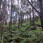
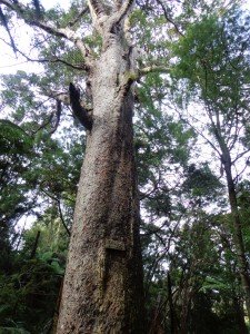
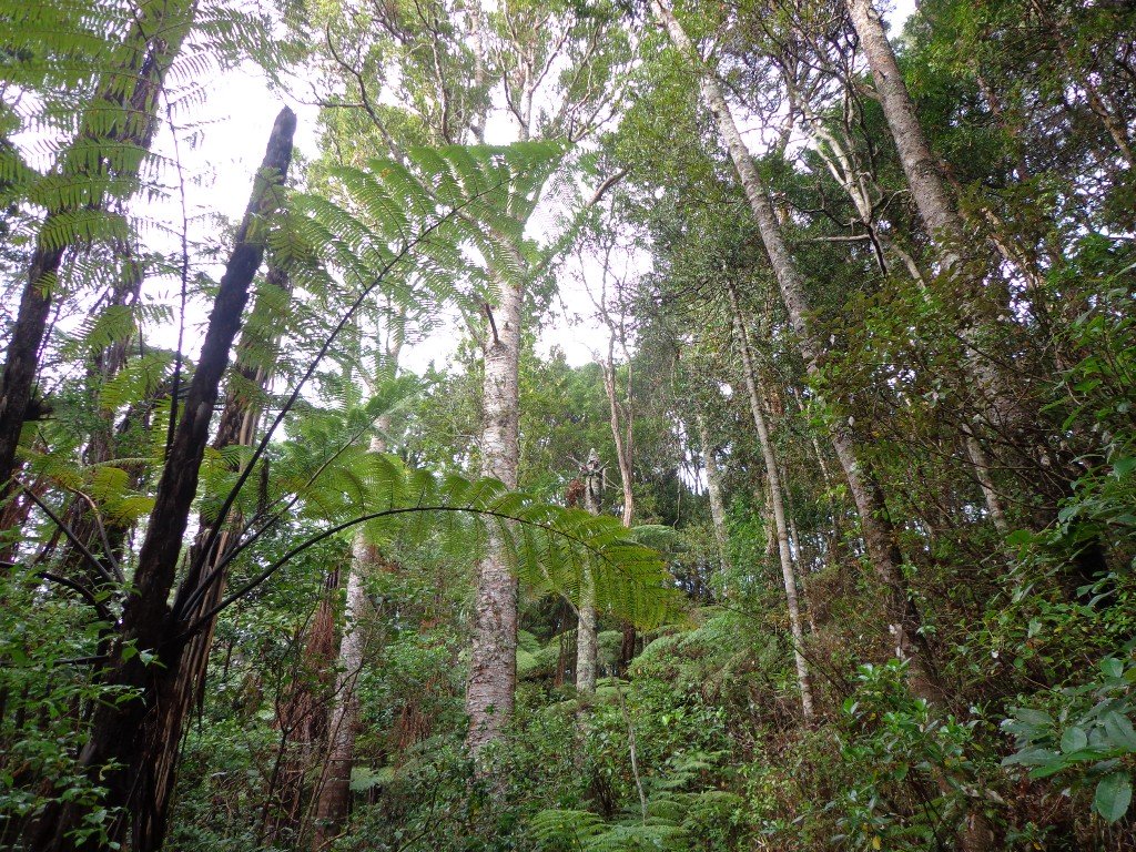
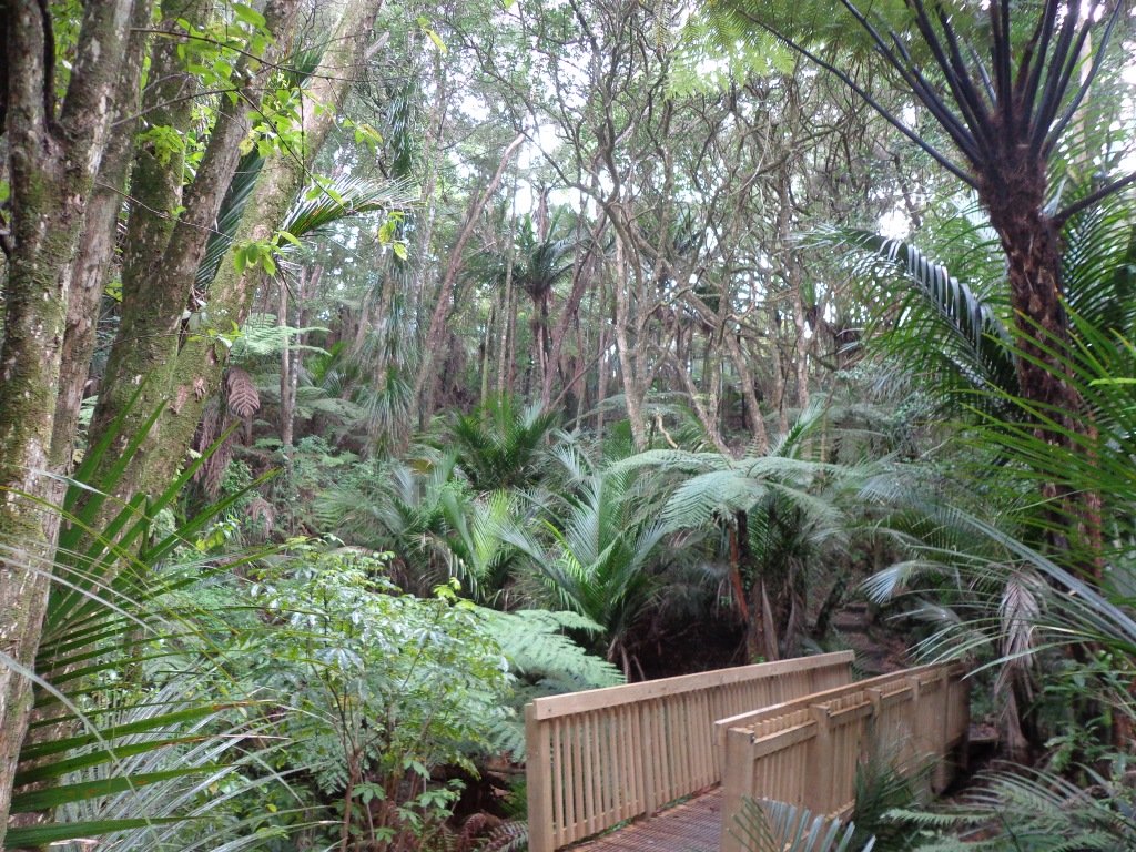
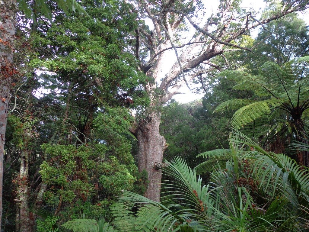
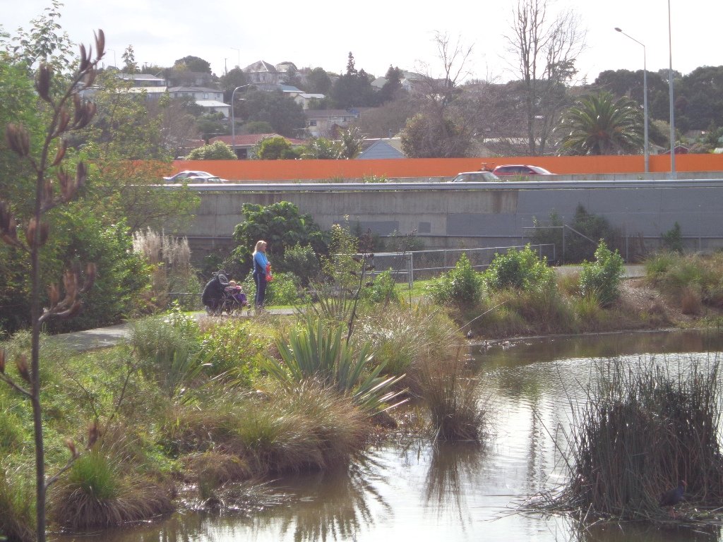
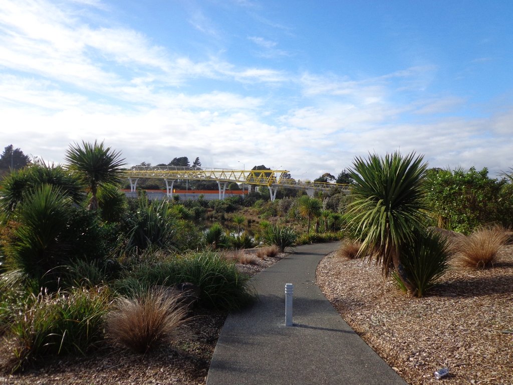
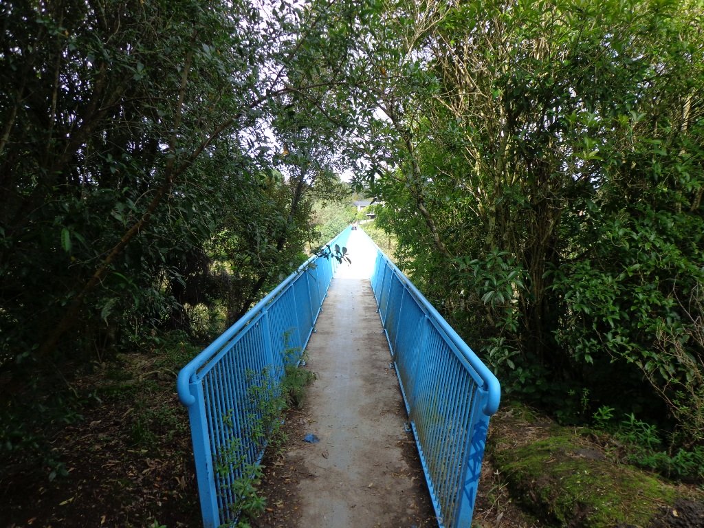
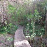
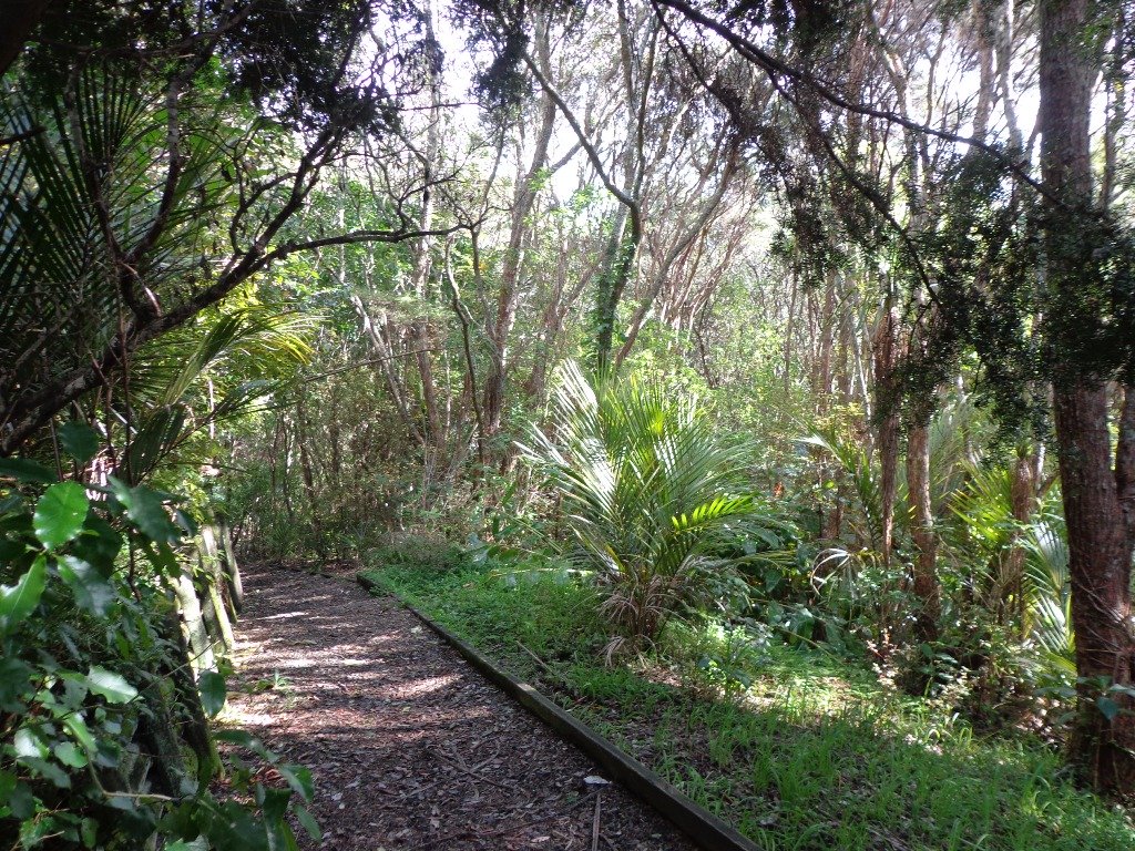
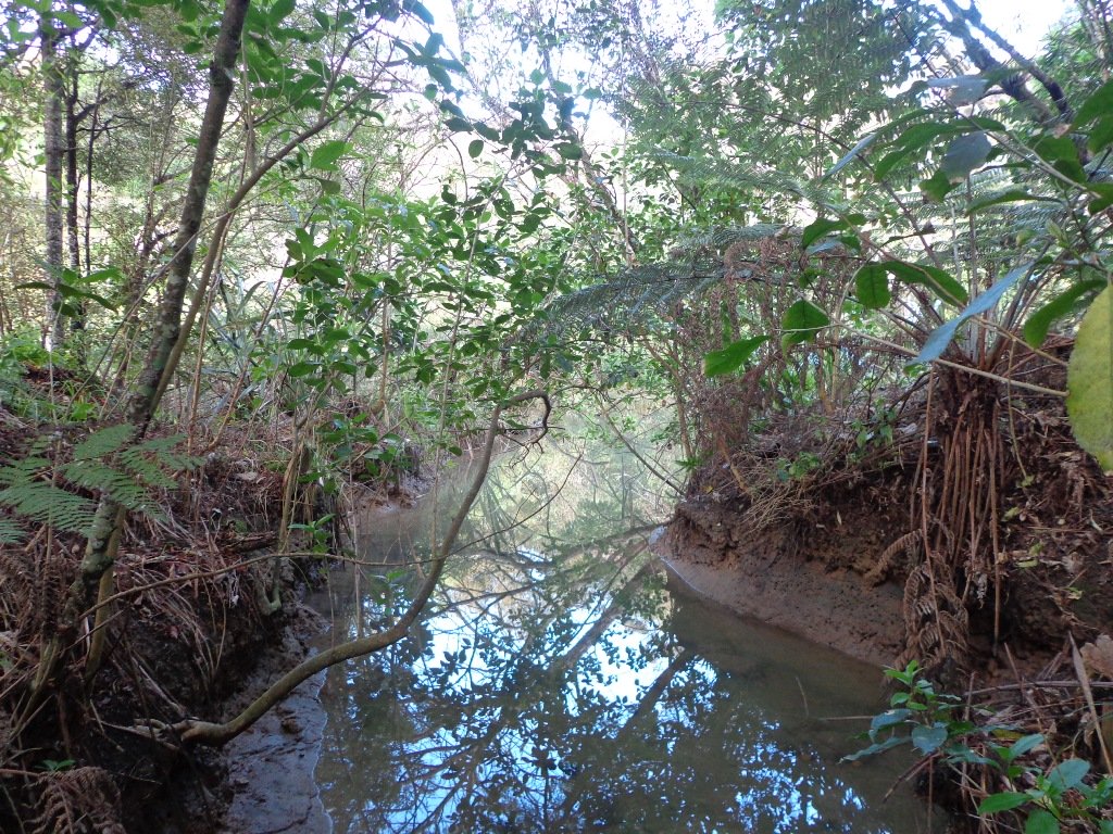
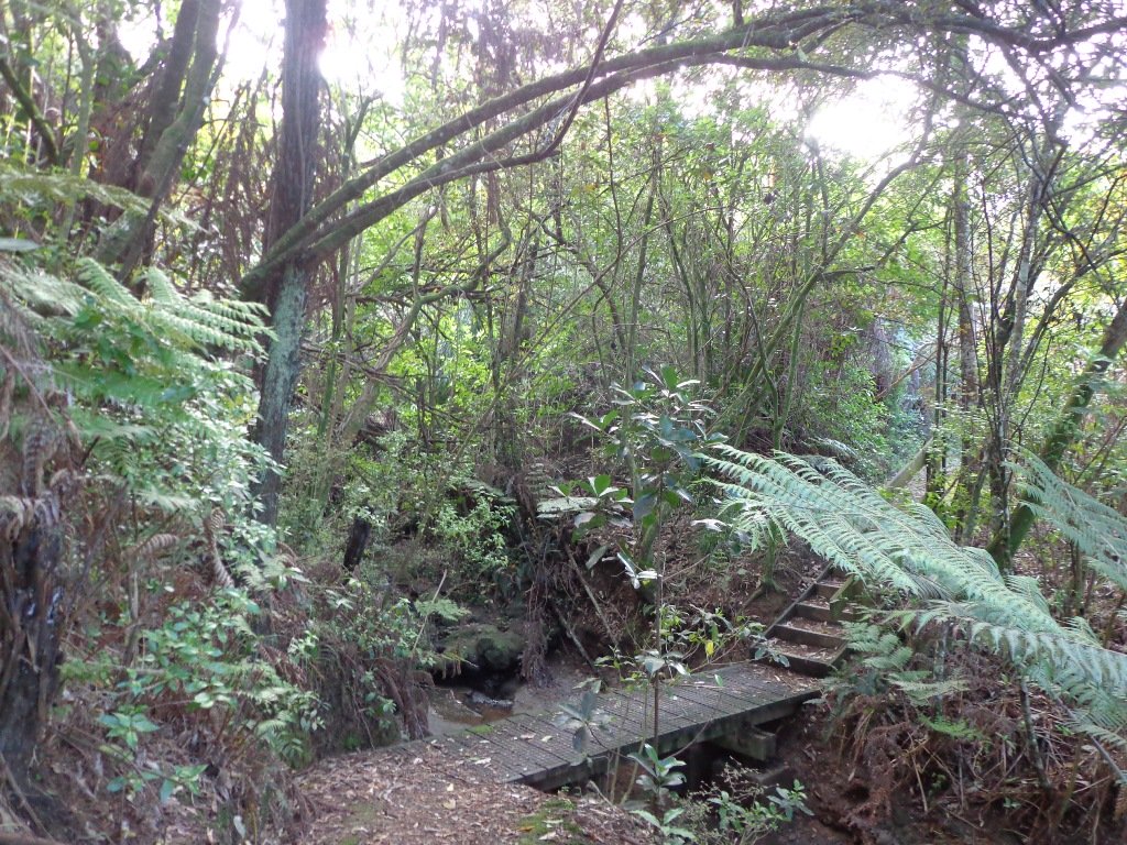
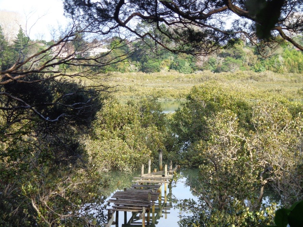
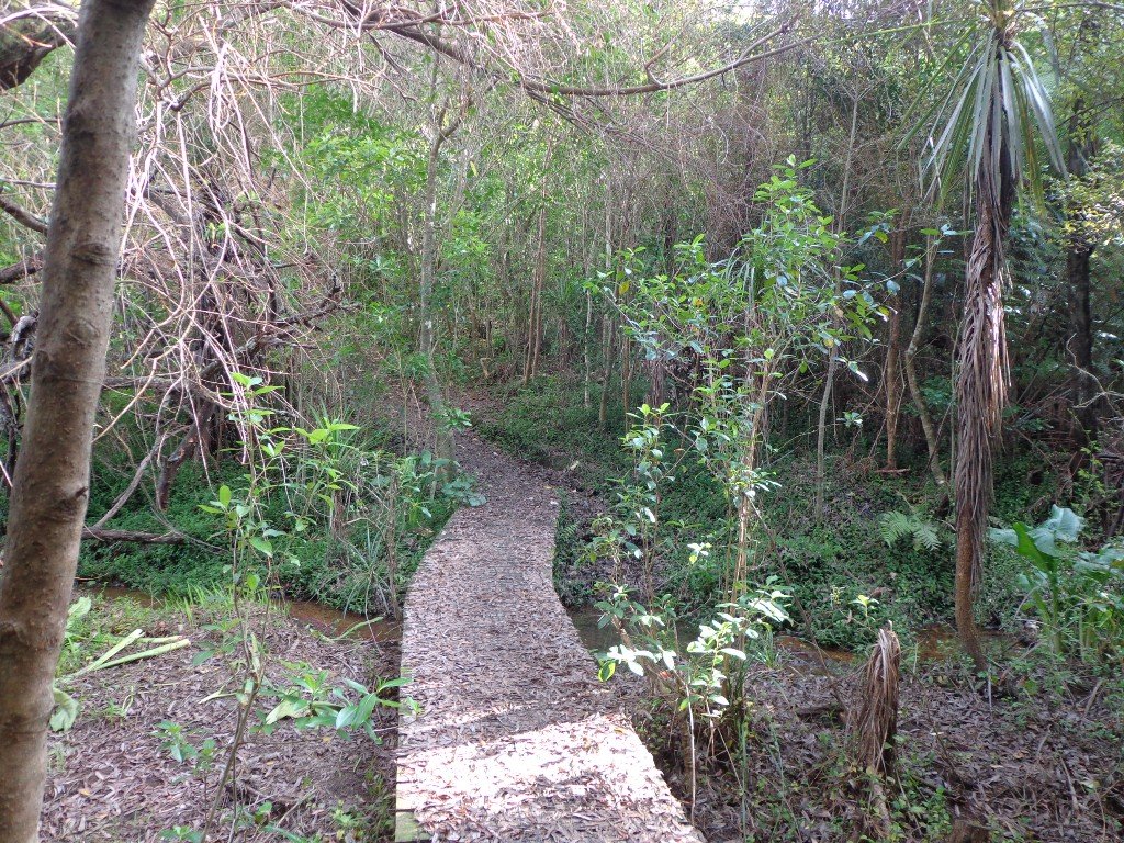
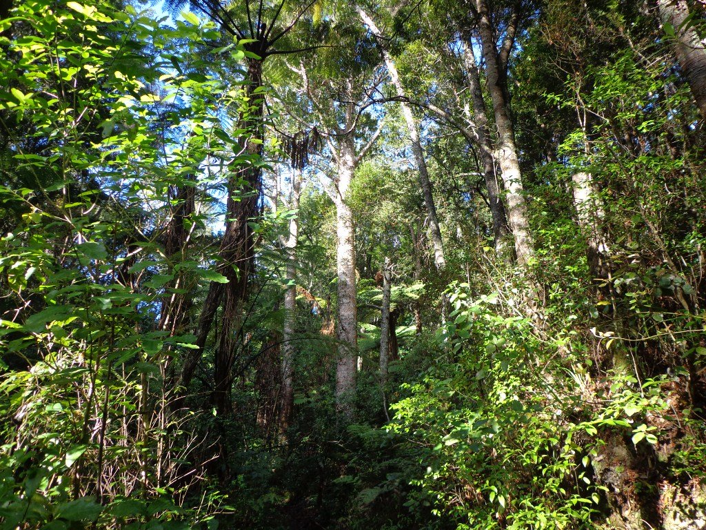
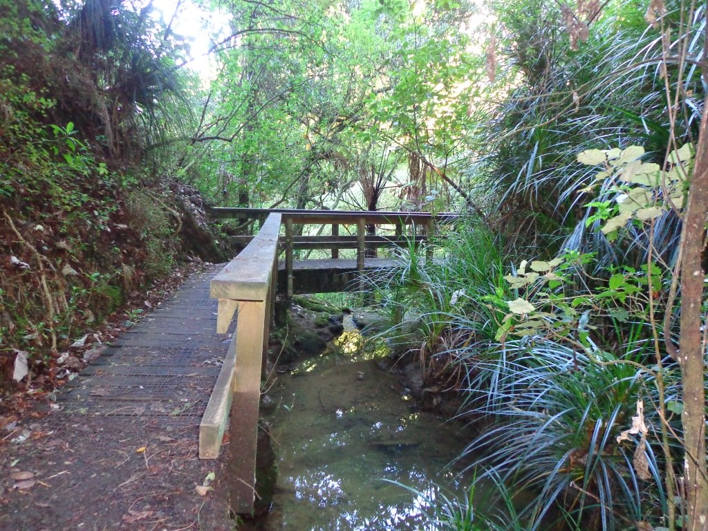
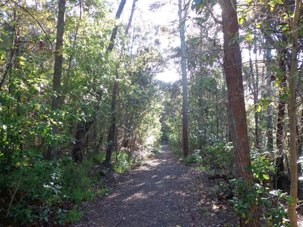
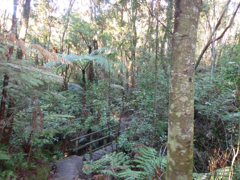
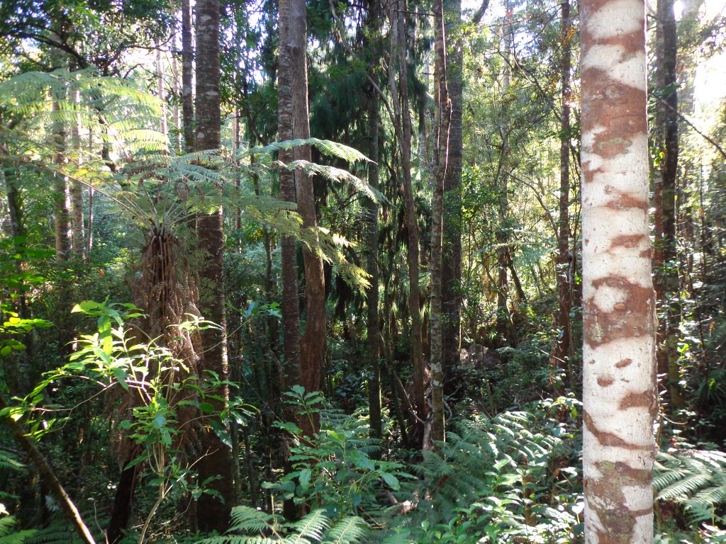
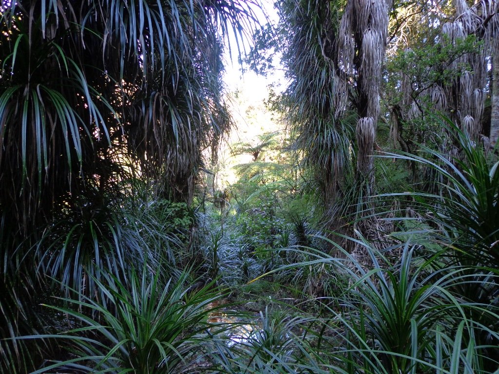
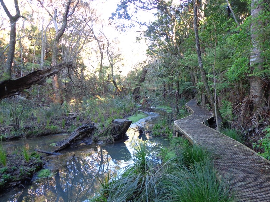
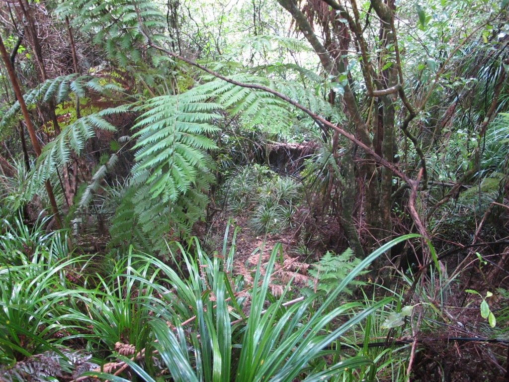
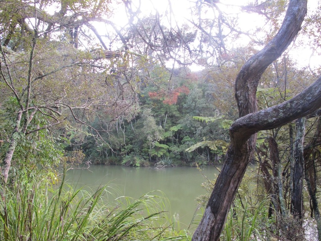
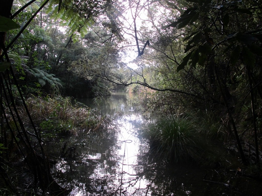
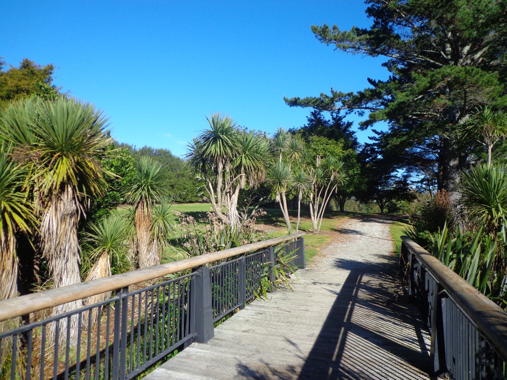
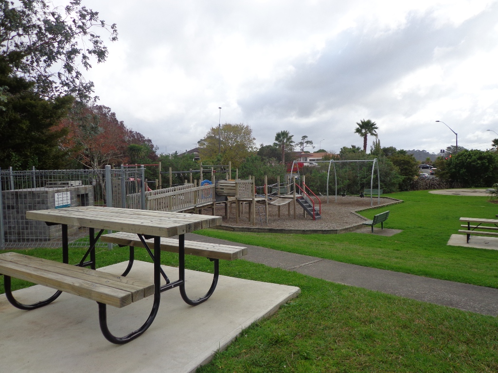
After a walk around the nearby man-made Sir Barry Curtis Park, we retreated to the native bush of Murphys Bush Scenic Reserve.

There is a variety of walks through the mature native bush with stands of Kahikatea, Puriri, Totara and Rimu, as well as groves of nikau palms.  The tracks can be muddy in places, especially after rain, as there is a stream.  Walks take from 10 minutes to one hour and are suitable for everyone. The walking route is great for prams/buggies and dog walkers (on leash).

Listen out for the sounds of native birds such as Wood pigeons, Morepork and Tuis and be humbled by the height of the tall, straight trees. It is easy to get “displaced” despite the signage – as there is more than one car park and picnic area.

We have not documented this walk as it does fulfill much of our criteria, even though the bush is worthy of exploring.

More Information: Murphy’s Bush
MAP

Greenhithe Loop Walk

Greenhithe Loop Walk in Auckland Copyright Unleashed Ventures Limited 2014

We used to visit a friend in Greenhithe but we had never stopped to explore the village.  Today we finally got to walk and discover just what a diverse and interesting place it is.

We started off at the Greenhithe shops and walked our way around the beautiful homes, the hidden creek, the horse paddocks and stretches of bush; finishing up having a delicious light lunch at the The Collins Cafe & Bar (20 Greenhithe Road).  The walk ticked all the boxes for us.

For families, there is a children’s playground and a skate park nearby (and public toilets) in Collins Park.
Description: Mostly level paths. Suitable for most ages and levels of fitness and mobility, designed with flat shoes or running shoes in mind. Not suitable for pushchairs.
To see: Pond, stream, bush.
Time: approx. 90 minutes (about 7.0 kms).
Parking:  Greenhithe Road. Map

Stay on track… Find this walk (AN-104 Greenhithe Loop) and other walk brochures with map and directions at our Walk Store

Meadowood Reserves Loop

The  Meadowood Reserves loop walk follows a route  documented by Margaret Scrymgeour from her booklet “Explore the Shore”. The walk begins at Meadowood Community Centre – which has BBQ, picnic and playground facilities.

The walk loops in and out of Unsworth Reserve (where dogs were playing happily off leash), which has a storm water pond and a children’s playground. There are also lovely bush areas where today the birds were singing.

Description: Mostly level paths. Suitable for most ages and levels of fitness and mobility, designed with flat shoes or running shoes in mind. Suitable for pushchairs.
To see: Pond, stream, bush.
Time: approx. 50 minutes (about 4.0 kms).
Start: Meadowood Community Centre, corner Caribbean Drive and Meadowood Drive. MAP

Stay on track… Find this walk (AN-103 Meadowood Reserves Loop) and other walk brochures with map and directions at our Walk Store

Point View Reserve Loop

Last weekend while we were exploring the Whitford area, we stumbled across the Point View Reserve, and decided to check it out.

Point View Reserve Copyright 2014 Unleashed Ventures Limited

Click to Access the Point View Reserve Google MAP

Point View Reserve is close to Botany and Dannemora and the view from the trig station, looking north to Auckland City puts the city’s housing sprawl into perspective.  Looking towards the opposite direction there are still the rolling hills of the quiet countryside to see. What a contrast!

And then, in the middle of the reserve is regenerating native bush – taraire, karaka, puriri, rimu, totara and kahikatea trees; as well as tree ferns, kanuka and nikau palms.   What a treasure this reserve is.

A tributary of the Mangemangeroa Creek runs through the steep gully (we were told there are 500 steps on the Koura Track).

Our 3km loop walk does require a good level of fitness – due to the steep steps.  Dogs must be on-leash in the bush areas, and off leash in the open areas.

Further information is at the greataucklandwalks website.

You can download the Auckland Council Point View Reserve brochure here.

Description: Mix of level and steep paths, with a series of steep steps. Suitable for good levels of fitness and mobility, designed with flat shoes or running shoes in mind. Not suitable for pushchairs.
To see: Views of Auckland City and countryside, bush and birds.
Time: approx. 45 to 60 minutes (about 3.16kms). Plus exploring time.
Parking:  Corner of Caldwells Road and Point View Drive. MAP

Best of the South: Short walks in Auckland

Stay on track… Find this walk (AS-097 Point View Reserve Loop) and other walk brochures with map and directions at our Walk Store . One of 12 walks in our book “Best of the South” available from our Book Store.

Mangemangeroa Valley Walkway

Today we headed south along the Mangemangeroa Valley Walkway – previously we had walked north to Shelly Park Beach.  Today started off overcast but the sun came out, and there was a cool breeze.  The breeze was very welcome when we were walking uphill in Hayley Lane and at the end of the Rotary Loop.

Mangemangeroa Valley Walkway © 2011-2014 Unleashed Ventures Limited All Rights Reserved

We started off at the barn in Somerville Road (MAP) and turned right.  It was good to see new maps and direction posts have been erected since our last visit, one year ago.  A lot of work has also been done with the planting of flax and cabbage trees – where this is done it will be a joy to see the rejuvenation of the native bush. We were pleased to see young kauri trees growing strongly. We walked up the steep hill of Hayley Lane, along Point View Drive, then back down the steep steps to rejoin the path, then followed the next turn left up the steps of the Rotary Loop to return to the start – a length of just over 5kms.

This walkway is very pleasant and perfect for a day walk and picnic, if doing the full length. Get the Auckland Council brochure here.

We drove onto Whitford for refreshments beside the Turanga River at Amy’s Kitchen.

Eskdale Reserve Bush walk

If you fancy a bush walk without having to travel out of Auckland, then Eskdale Reserve and Birkenhead Domain may hit the spot. You could take a picnic to eat on the grass. And if you enjoy mountain bike riding, then this is an option too.  Be prepared for dog walkers (dogs on-leash).

This shady bush walk is suitable for hot summer days or misty rain days. The native bush includes nikau palms, young kauri trees and ponga tree ferns. The Kaipatiki Stream runs through the reserves.

***Please note: September 2018 This track has been temporarily closed due to Kauri Dieback

We started our walk from Glenfield Road. MAP

The Eskdale Reserve bush tracks are highlighted in the Kaipatiki Explorer maps which you can download HERE.

Totaravale Reserves

The Totaravale Reserves loop walk loosely follows a route  documented by Margaret Scrymgeour from her booklet “Explore the Shore”.  This walk on Auckland’s North Shore starts out in Rewi Reserve, then climbs up to the ridge of Sunset Road for a view over the rooftops of Auckland City and heads back down again to bush tracks, streams, and ponds in Unsworth Reserve and passes three playgrounds.

Dogs – off leash areas along route.

Description: Mostly level paths with some small flights of steps and one steep path. Suitable for most ages and levels of fitness and mobility, designed with flat shoes or running shoes in mind.
To see: Wetlands, parks, stream, pond, native bush.
Time: approx. 60 minutes (about 5.0 kms).
Start: Corner of Trias Road and Athena Drive. MAP

Stay on track…Find this walk (AN-095 Totaravale Reserves) and other walk brochures with map and directions at our Walk Store

Maraetai and Omana loop walk

Today was our first walk around the 3 km perimeter of Omana Regional Park near Maraetai (pronounced my-right-eye). The walk itself was pretty uninteresting apart from the view looking back to Auckland City. However, the walk along the coastline from Omana Beach to Maraetai Beach was much more interesting.

Maraetai and Omana loop walk © 2011-2014 Unleashed Ventures Limited All Rights Reserved

The weather was brilliant and it was fabulous to see so many people out enjoying themselves in and on the beautiful blue clear water, as well as picnicking on the grassy shore in the shade of the pohutukawa trees. The tide was high (actually a “king” tide) which added to the beauty.

The shared pathway/cycleway between Maraetai and  Beachlands is very scenic, and suitable for family cycle rides.

Description: Mostly level paths, with a few short steep bits. Gravel and sealed track/paths.  Sturdy footwear recommended for Omana loop.
Suitable for most ages and levels of fitness and mobility, designed with flat shoes or running shoes in mind.
To see: Farmland, bush, coast, boats.
Time: We did the Omana perimeter loop (3kms) and walked to Maraetai return (5kms).
Start:  Either from Maraetai or Omana Beach Road. Map

Click here for  Omana Regional Park map.

The combined walks of Maraetai and Omana lived up to our expectations of a diverse walk – farmland, bush, coast, boats and village.
Click on photo to enlarge.

Albany Reserve Loop

Today was our first walking exploration in the Albany area of Auckland. Previously I had stopped a couple of times for coffee at the Wine Box cafe and we had attended conventions at the North Harbour Stadium. So the area was not totally new to us.

*** Unfortunately Albany Scenic Reserve was been closed in 2015 due to Kauri Dieback ***

Albany Reserve Loop Walk © 2011-2013 Unleashed Ventures Limited
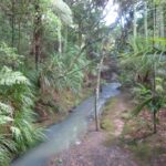
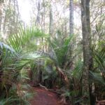
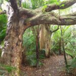
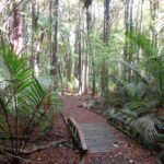
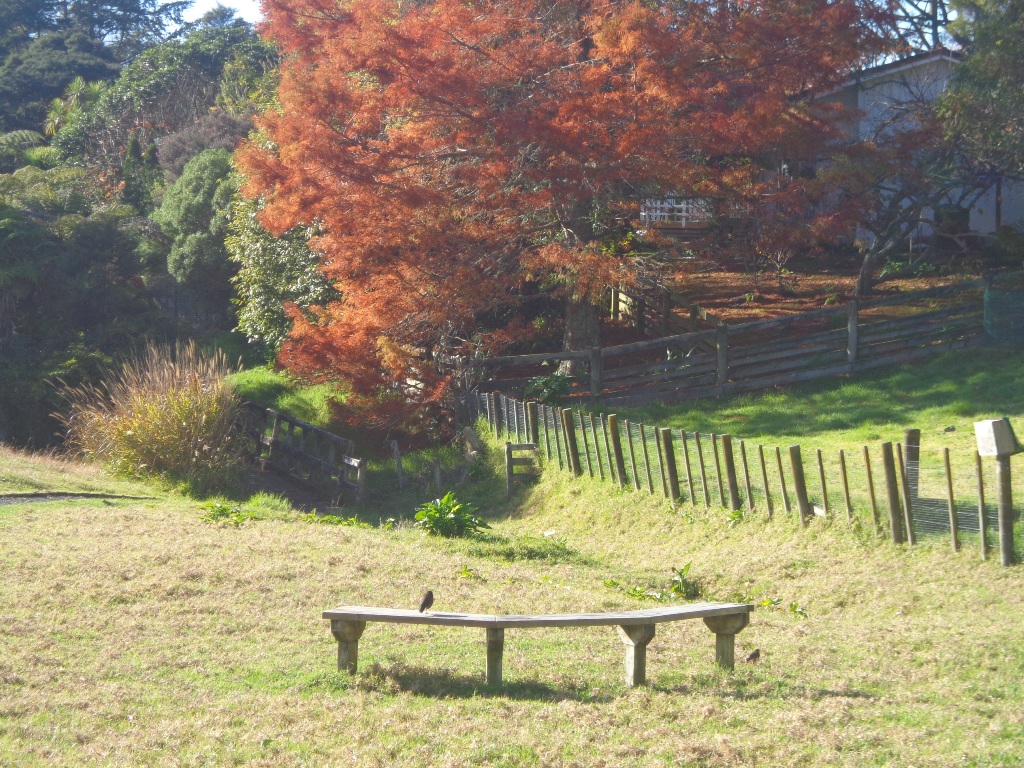
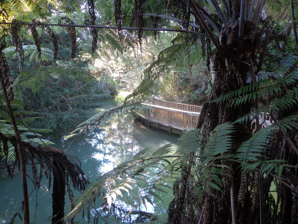
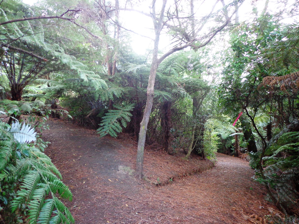
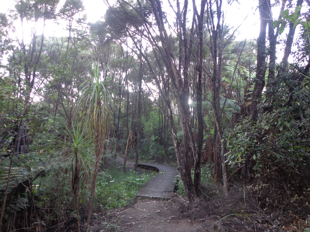
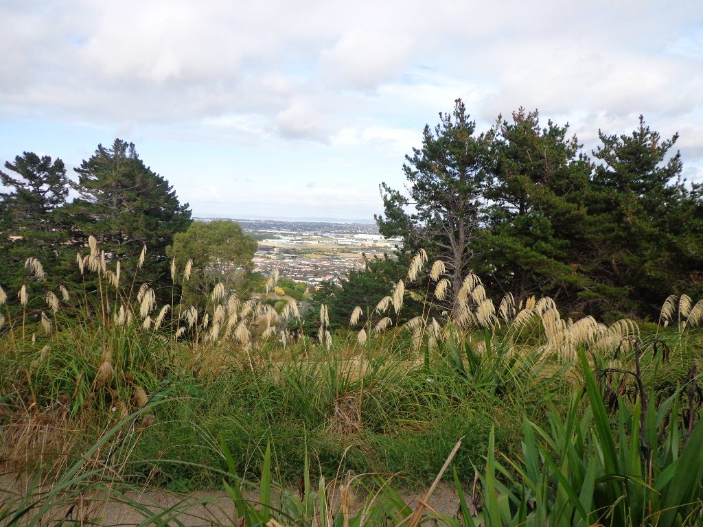
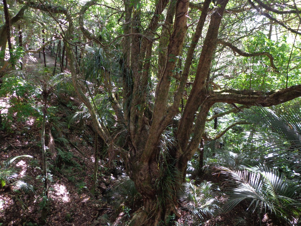
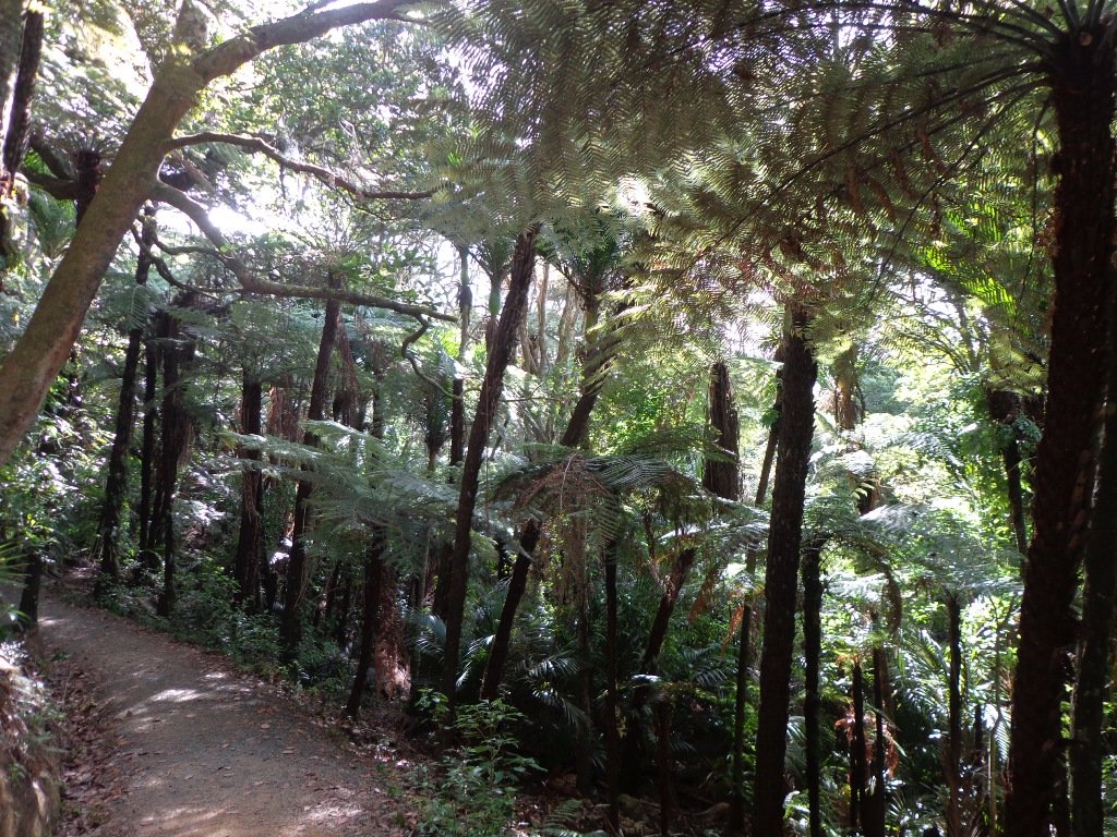
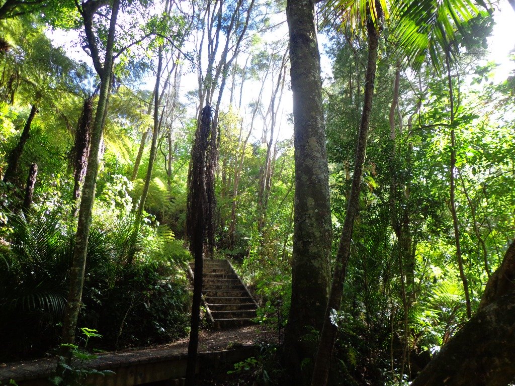
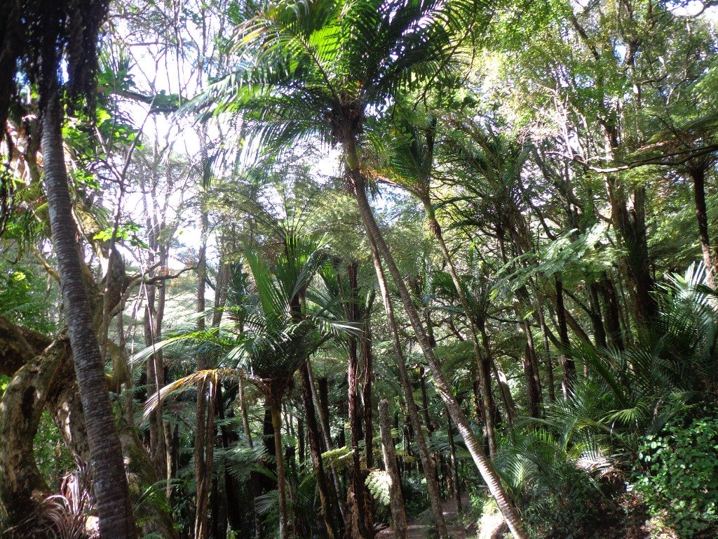
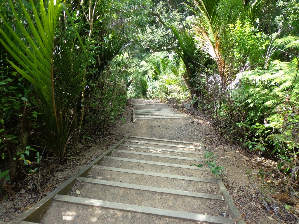
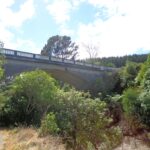
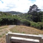
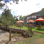
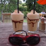
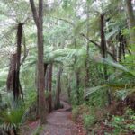
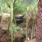
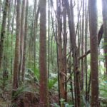
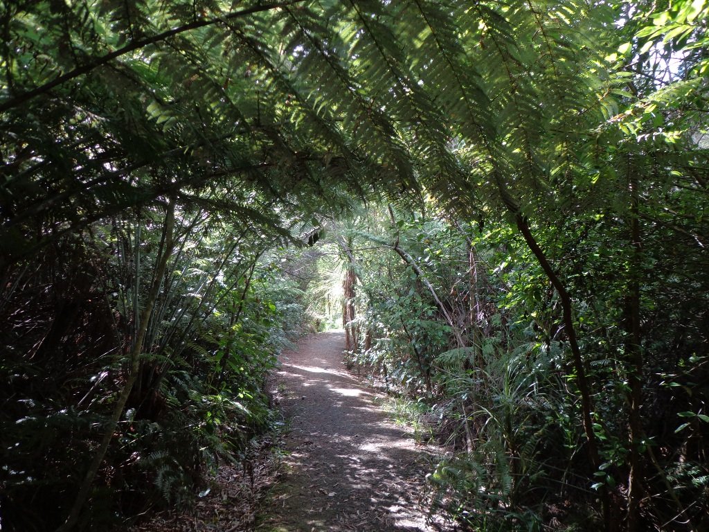
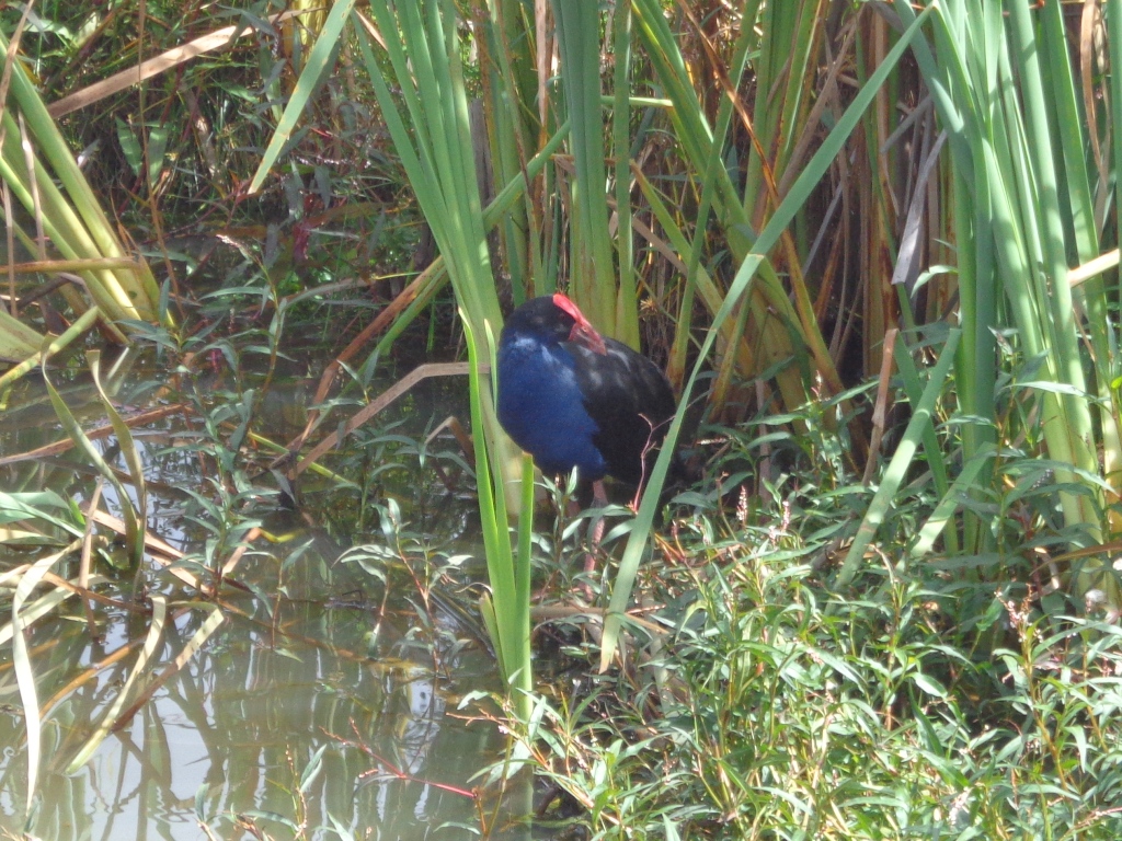
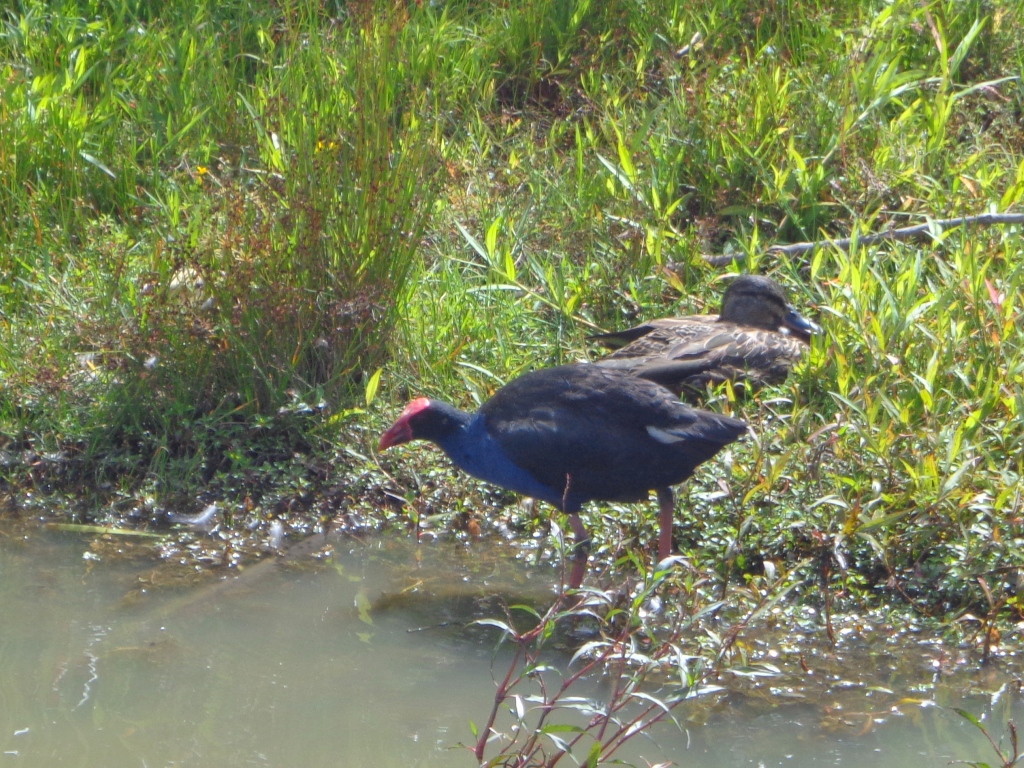
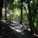
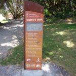
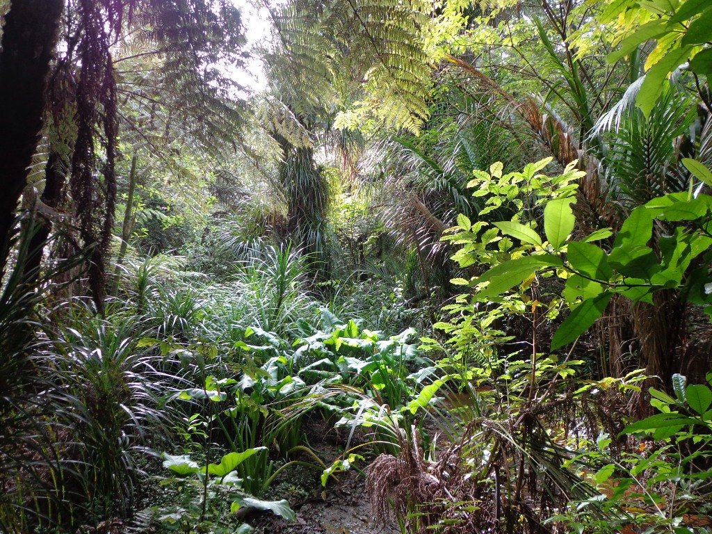
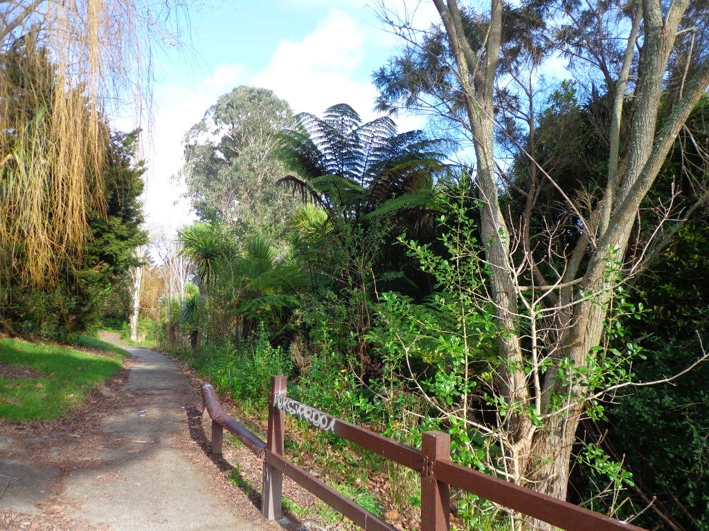
As usual we were surprised at what we uncovered – a beautiful bush walk along a stream. The previous night had been very stormy (the news reported that there were over 1000 lightening strikes) and the stream was very full and flowing very fast! The well formed track following the stream however was not muddy as we would have expected.

However we did get “temporarily displaced” in a bush area(which involved climbing over two wire fences), and we will return to document a clear route.

In the early days the most popular means of transport from Greenhithe, Albany and Paremoremo to other areas whether on the North Shore or in Auckland was by water. Many wharves were built on both
sides of the banks of Lucas Creek and Hellyer’s Creek. Rowboats were common for travelling the short distance between Paremoremo and Greenhithe, while launches shipped passengers and goods to and
from Auckland. Regular shipping services became very important to settlers in the area who relied on sales of their fruit and dairy farming products in Auckland to make a living.

The Landing was an area that served as a terminus for the transportation of passengers and goods by water. It was demolished in the 1930s and has since been redeveloped for residential use.
Source: Auckland Council

The route begins and ends at Kell Park.  It starts off along a concrete path.  After which it heads into the bush, following the stream. We were impressed by the bush, the palms and the giant totara trees. The loop walk  returns via Massey University.

Dogs – off leash exercise area along bush track in Albany Reserve.

Description: A mix of level paths, steep paths and steps.  Suitable for most ages and levels of fitness and mobility, designed with flat shoes or running shoes in mind. Not suitable for wheelchairs and pushchairs.
To see: New Zealand bush, streams
Time: approx. 90 minutes (about 7.5 kms).
Start:  Kell Park, Albany. MAP

Find other walks at our Walk Store.

Bayview Giant Kauri Walk

***** ATTENTION Kauri Dieback has been identified on Auckland’s North Shore. Auckland Council will look to close tracks soon. As this Kauri tree in Lynn Reserve is the largest Kauri on the North Shore, and of significance to our community, you are asked to not visit this track. When walking near any Kauri, your shoes must be so clean you could ‘kiss’ them. Please protect our Kauri. The best way to help is to not walk near them.
Danielle Grant – Deputy Chair Kaipatiki Local Board ****

Bayview Giant Kauri tree © 2011-2013 Unleashed Ventures Limited

We returned to Bayview on the North Shore to complete a circular walk in a different direction to our previous Bayview Coast and Bush Walk.

Today’s walk starts off in Lynn Reserve, and heads up a bush filled gully with a small stream, to a giant Kauri tree (over 2 metres in diameter and is said to be about 800 years old) among a grove of smaller kauri trees which are growing in Leigh Scenic Reserve.  It is awesome!

The route joins up with the Glenfield Coastal Walkway and heads around to the boat ramp and Manuka Reserve at the bottom of Manuka Road.  Hearing the song of the tui birds as we slowly walked up the incline of Manuka Road gave us great encouragement.

This walk through the bush and along the Upper Harbour coastline is not only beautiful, it provides a great workout if you are into fitness. It is also a fun family walk that includes two children’s playgrounds, plus dog off leash exercise areas.

The new playground at Lynn Reserve looks great, and in the week since we last visited, a children’s ‘learn to cycle track‘ has been installed.

***Please note: September 2018 This track has been temporarily closed due to Kauri Dieback

Description: Bush track, steps, inclines and board walks. Muddy in places when wet. Suitable for users of average fitness and mobility.
To see: Native bush, including Giant Kauri, small waterfalls, views across Auckland Harbour to Hobsonville Point, native birds.
Time: approx. 75 minutes. (about 5.8 kms). Dog off leash areas. Three children’s playgrounds.
Parking: Lynn Road, Bayview near Glenfield.
Buses: 111 Lynn Road, Bayview MAP

Moire Park Bush Walk

We have done this Moire Park Bush Walk in Massey, West Aucklandtwice previously and this time we returned to make use of the yellow walking/cycling bridge that now crosses the motorway.

Note: this GPS Google Map is of Moire Park and does not include some of the extra walking described in the description below and brochure.

The walk now begins from Westgate Shopping Centre with the option of starting from the Moire Park sports complex off Granville Drive, if preferred.  There is a short stretch of street walking, but the majority of the walk is off road with a long stretch through native bush, following the Manutewhau Stream.

View from Flaunty Reserve © 2011-2013 Unleashed Ventures Limited

There is a collection of children’s playgrounds (some with flying fox) that could provide a great incentive for doing the walk with children, and if you take some bread, you may wish to feed the ducks in the ponds near Westgate.

The view from top of Flaunty Reserve across Auckland Harbour to the city can be breath-taking.

Description: A mix of level paths and steep paths. Suitable for users of average fitness and mobility. May require boots in wet weather, running shoes suitable in dry weather. Muddy tracks after rain.
To see: Auckland City views, Waitakere Hills view, views of Te Atatu Peninsula, native trees and fauna, urban development. Childrens playgrounds. Dog friendly off leash areas.
Time: approx. 75 minutes. (about 6 kms)
Parking: Westgate Shopping Centre.
Buses: Westgate Shopping Centre MAP

Stay on track…get your detailed guide and map (AW-031 Moire Park Bush Walk) over at our Walks Store  and our Book Store (one of 12 walks featured in our books “Urban Bush” and “Dog Friendly Walks part 1” and “Best of the West“).

Bayview Coast and Bush Walk

Today we set out to explore the Bayview area near Glenfield on Auckland’s North Shore. What a wonderful surprise to find a beautiful bush walk, alongside the Upper Harbour reaches, all part of the Glenfield Coastal Walkway.

Manuka Reserve © 2011-2013 Unleashed Ventures Limited

The walk takes in Manuka Reserve with views of the upper harbour, Hobsonville Point and native bush. Not only are there stands of manuka trees (tea trees) beside the estuary, but inland within Leigh Scenic Reserve, there are kauri trees and palms.

This circular walk is mostly bush with only a small section of street footpaths.  It is suitable for families, with two places to stop at playgrounds. Dogs must be kept on leash.

Description: Bush track, steps, inclines and board walks. Muddy in places when wet. Suitable for users of average fitness and mobility.
To see: Native bush, small waterfalls, views across Auckland Harbour to Hobsonville Point, native birds.
Time: approx. 60 minutes. (about 5.0 kms). Dogs on leash. Two childrens playgrounds.
Start: Lynn Road, Bayview near Glenfield. MAP

***Please note: September 2018 This track has been temporarily closed due to Kauri Dieback

Stay on track…get your detailed guide and map (AN-080 Bayview Bush Walk)over at our Walks Store  and our Book Store (one of 12 walks featured in our books “Urban Bush” and “Dog Friendly Walks part two”).

Le Roys Bush Loop

Saying that you are going for a walk in the bush in urban Auckland, may sound like an oxymoron…however, that is one of the many wonderful aspects of walking in Auckland – you never have to go far to find native bush. Kauri Glen Reserve lives up to it’s name and Le Roys Bush follows a stream downhill to the restored wetlands of Little Shoal Bay, Northcote (which was once a tidal estuary filled with mangroves).

Little Shoal Bay © 2011-2013 Unleashed Ventures Limited

This morning the sun was out (as well as the tide!), which made it a very pleasant and warm winter’s day.  Some of the smaller tracks are wet, muddy and slippery so if that doesn’t fit with you, then I suggest that you save them for a summer walk. The loop walk we have documented keeps you on the drier paths and boardwalks.

We were rewarded with sunlight filtering through the native trees, the sound of the bubbling stream and the songs of the native birds – we could have been deep in the bush instead of in the middle of urban residences!

  • Free Map for your smartphone – go to the new prototype site:  Le Roys Bush Walks [22Nov2015]

Kauri Glen is one of the oldest bush reserves on the Shore (measures about 25 acres and first sizeable pieces of land that was placed under public management) which includes trees such as taraire, totara, kauri, tawa, rewarewa and maire. Kiekie and nikau are abundant in this sub-tropical rainforest. Smaller species of note are pate and karapapa. The area is alive with the likes of tui, fantails and moreporks.

Little Shoal Bay Reserve is a great place to start and finish at – with plenty of parking and a fun looking children’s playground.  Dogs must be kept on leash to protect the flora and fauna.

Alternatively you could begin your walk at Birkenhead. A new track has been constructed (September 2016) from 31-45 Birkenhead Avenue. Called the Maori Pipi Walk.

You could pop into the Northcote Tavern  for lunch, coffee or a beer afterwards – full of character and nice ambience. Or stop at Sausalito Cafe.

****************************************************************
Please protect our Kauri.  Clean ALL dirt off your shoes and dogs feet BEFORE you arrive. Spray feet on entering and leaving. Dogs on leash at all times. Keep to the tracks. Enjoy your walk. 
Join Le Roys Bush on Facebook.

***Please note: September 2018 This track has been temporarily closed due to Kauri Dieback
****************************************************************
Description: Bush track and board walks. Slippery when wet. Suitable for users of average fitness and mobility.
To see: Native bush, waterfall, wetlands, views across Auckland Harbour, native birds.
Time: approx. 60 minutes. (about 5.0 kms)
Parking: Little Shoal Bay Reserve
Buses/Ferries: Queen Street, Onewa Road, Northcote MAP

Stay on track…get your detailed guide and map  (AN-079 Le Roys Bush Loop) over at our Walks Store and our Book Store (one of 12 walks featured in our books “Urban Bush” and “Dog Friendly Walks part 2”).

Chelsea Heritage Park Loop

Winter is perhaps not the best time to do this bush walk starting at the Chelsea Estate Heritage Park – the track was very muddy and slippery – but we survived, and it was fun!

The pink Chelsea Sugar Refinery sits on the edge of Auckland Harbour.  From the shore there is a wonderful view across to the Harbour Bridge and City. Swan and ducks greeted us at the dam, expecting to be fed.

You can walk the beaches, feed the ducks, picnic by the ponds or go exploring around the 45 hectares of bush land at the Chelsea Sugar Refinery.

Auckland Harbour © 2011-2013 Unleashed Ventures Limited

Our walk takes us from the dam at the Chelsea Sugar Refinery through native bush along the cliff edge to Kauri Point Centennial Park and then inland to Chatswood Reserve.

There are a myriad of walking tracks and some are difficult to find after the recent rain and the dropped leaves from the trees covering the ground. Luckily we had our map, so we did not get lost! There’s plenty of native bush and birdlife to enjoy – the birds were singing loudly today.

Update October 2015The track from Chelsea Estate Heritage Park to Chelsea Bay/Telephone Road Reserve is currently being repaired and made accessible for pushchairs. Possible locations for a gate to separate the on-leash track from the off-leash grass and beach area are being decided as required by the Local Board after the Dog Access Hearings last year.
The track has had broken concrete removed, ruts smoothed out and drainage channels created. It has been resurfaced and compacted to give it the natural-looking surface that is used on DOC tracks.
The Chelsea bridge will be completely replaced next year.

Update August 2016 From the Kaipatiki Local Board
The new Chelsea Estate bridge project is now completed and ready to be walked, cycled and enjoyed. The new bridge is 2.7 metres wide and cost $287,000 to consent, design and build. Old piles from the old bridge were recycled at the new Island Bay Playspace and some went to a local resident keen to create a unique element within his new house build project.

Description: Part bush track. Very slippery when wet. Suitable for users of above average fitness and mobility.
To see: Chelsea Sugar Refinery, views across Auckland Harbour, native bush, ducks, swan.
Time: approx. 60 minutes. (about 5.0 kms)
Parking: Chelsea Sugar Refinery car park, bottom of Colonial Road
Buses: Mokoia Road, Highbury MAP

***Please note: September 2018 This track has been temporarily closed due to Kauri Dieback

Stay on track…find this walk’s map and directions guide (AN-078 Chelsea Bush Walk) and other walk self-guides at our Walk Store.