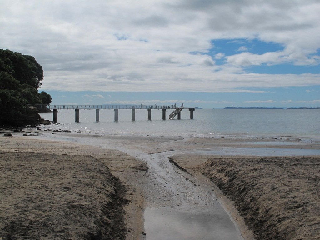
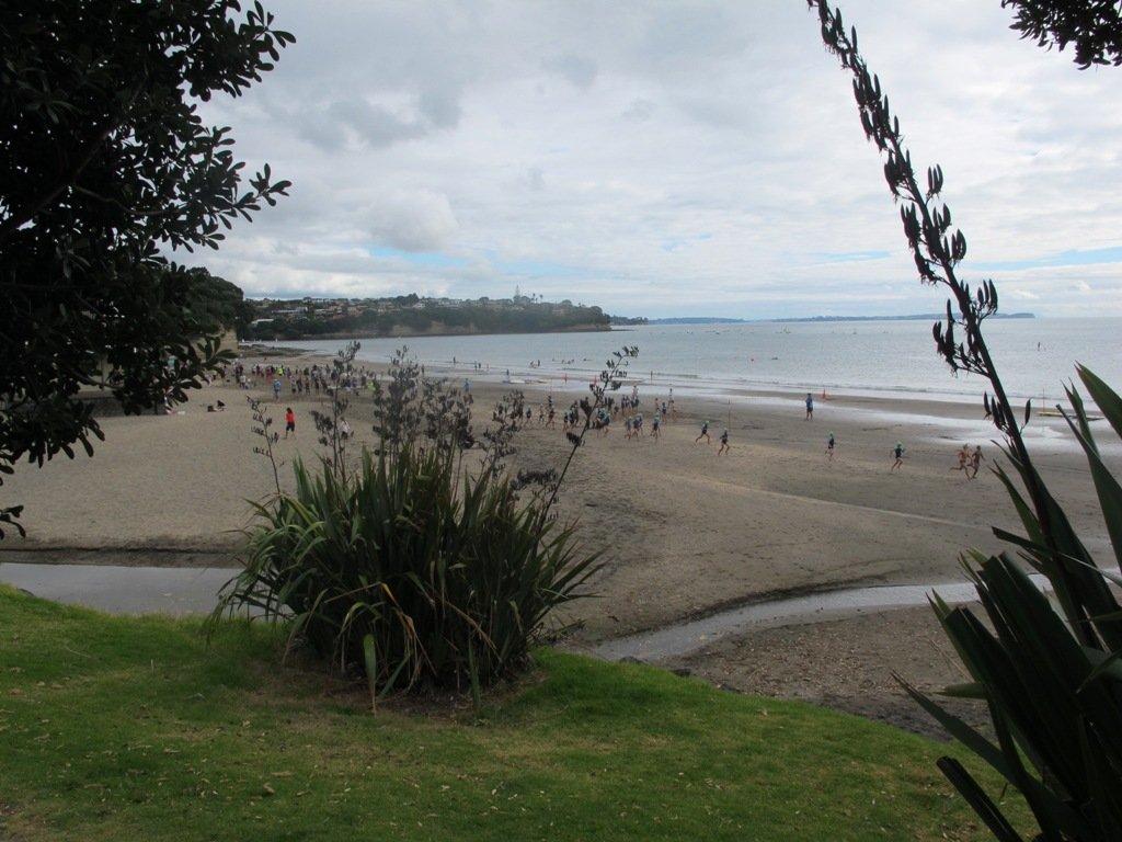
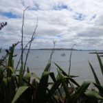
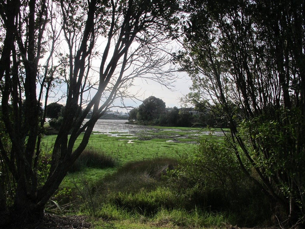
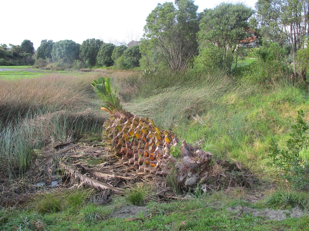
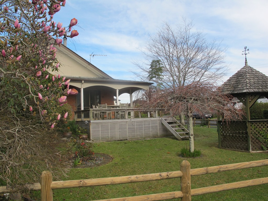
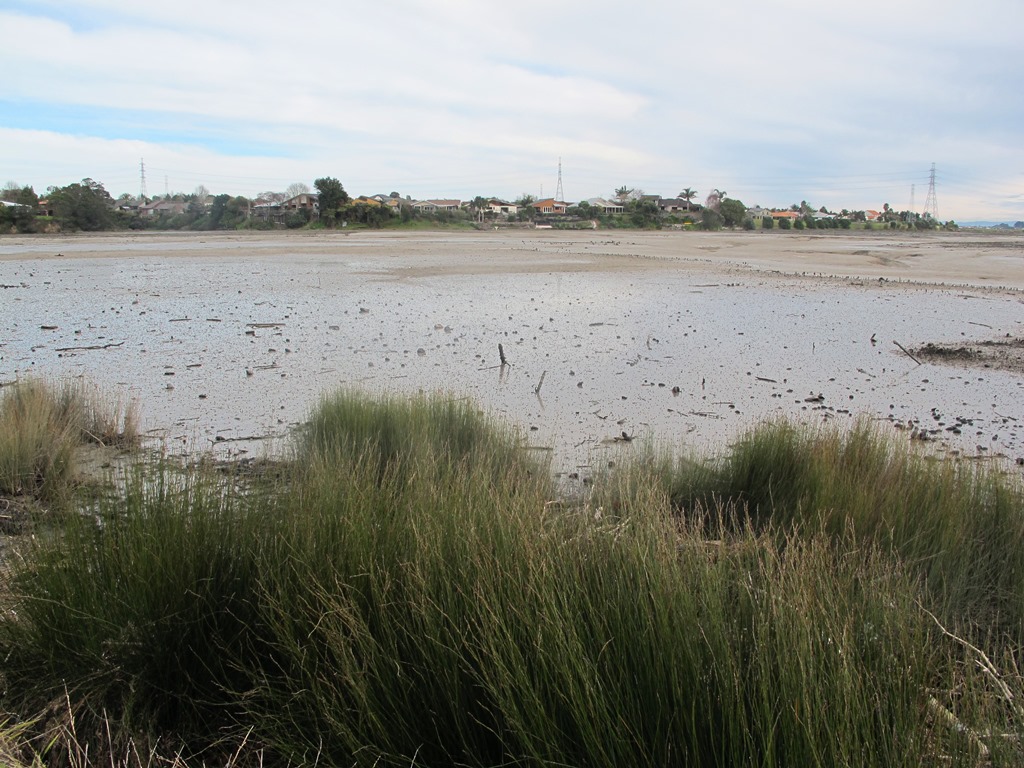
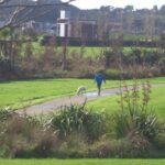
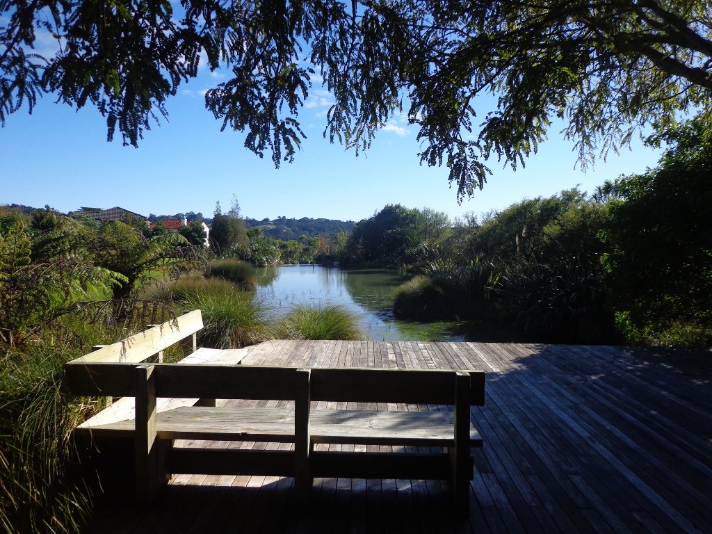
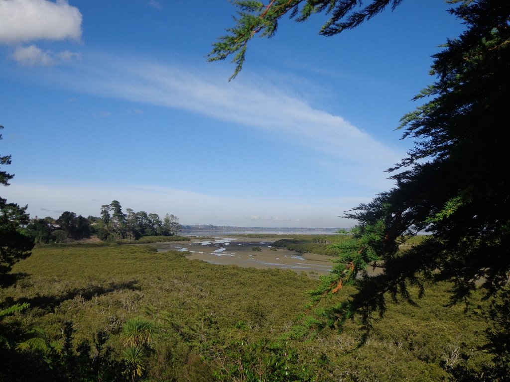
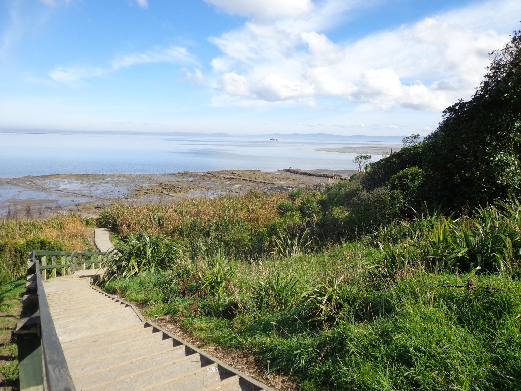
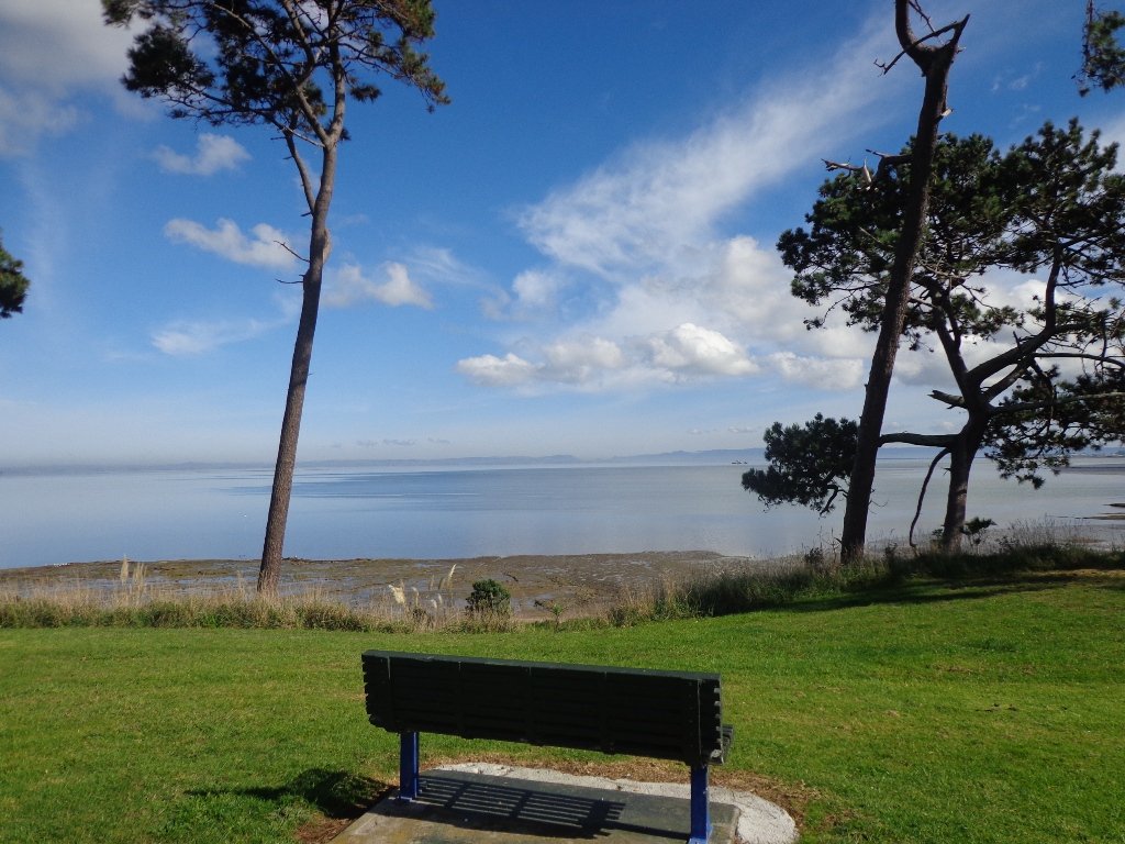
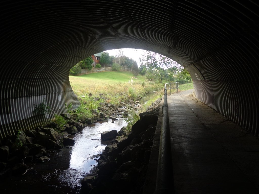
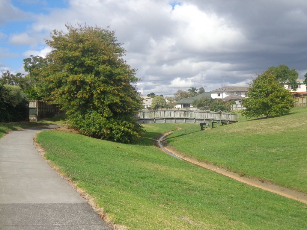
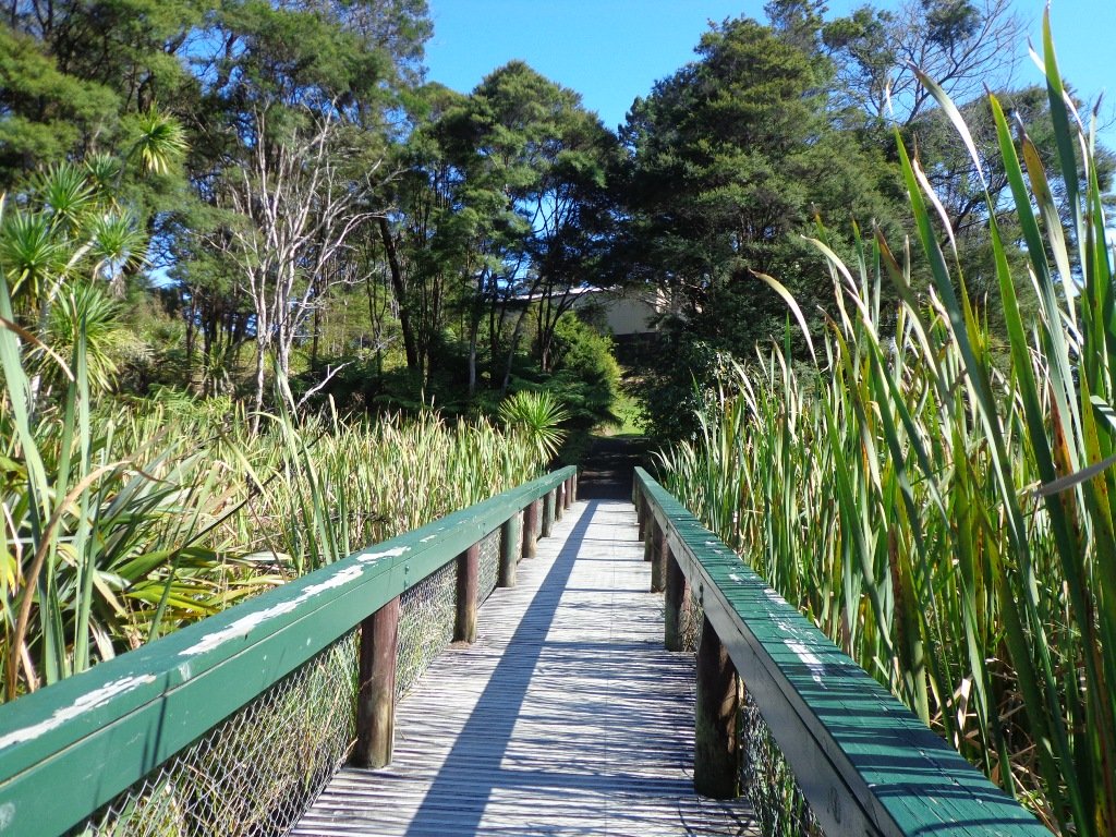
It was low tide this morning as we walked around the Pahurehure Inlet at Papakura. The frosty ice crunched under our feet when we started our walk, and yet it did not take long for our bodies to warm up after the cold start to the day.
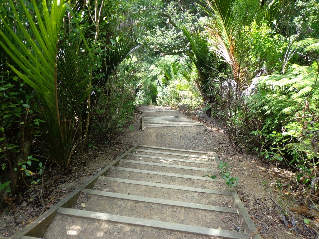
Part of the Pahurehure Esplanade walkway has slipped into the estuary at one point, but we managed to find a short detour. This walk is full of contrast – the quietness of the tree lined suburban streets and the reserves, the busy noise of the Southern Motorway, the happy sound of sports grounds in use on this Saturday morning, the peacefulness of the estuary path along Pahurehure Inlet.
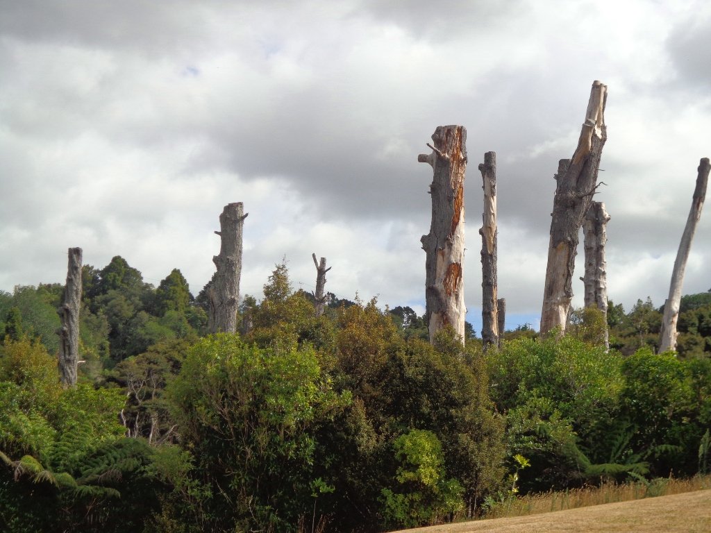
In 2010 the Pahurehure Inlet was cleared of mangroves. Today the empty inlet looked naked – in a good way.
Suggested cafes (from a friend who lives in the area): In Papakura there’s the Robert Harris which is probably the best coffee, and then there’s the local Pizza Box – they have some good dishes and a good selection, and their coffee is quite good too.
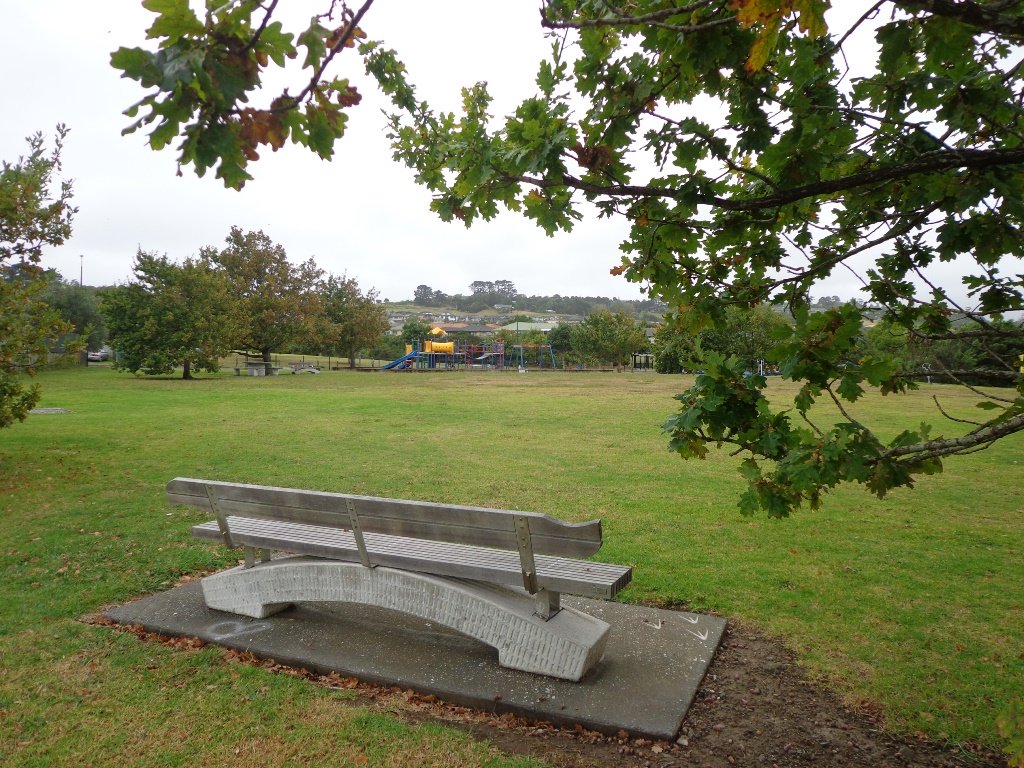
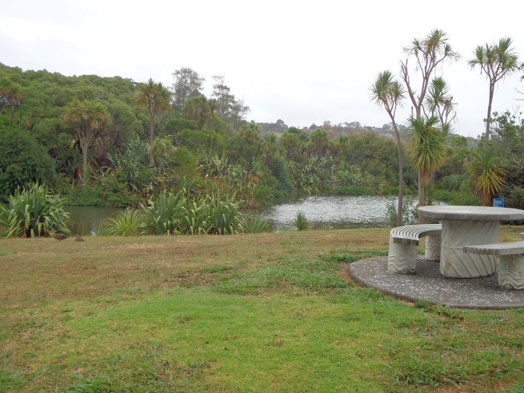
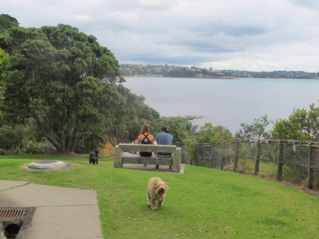
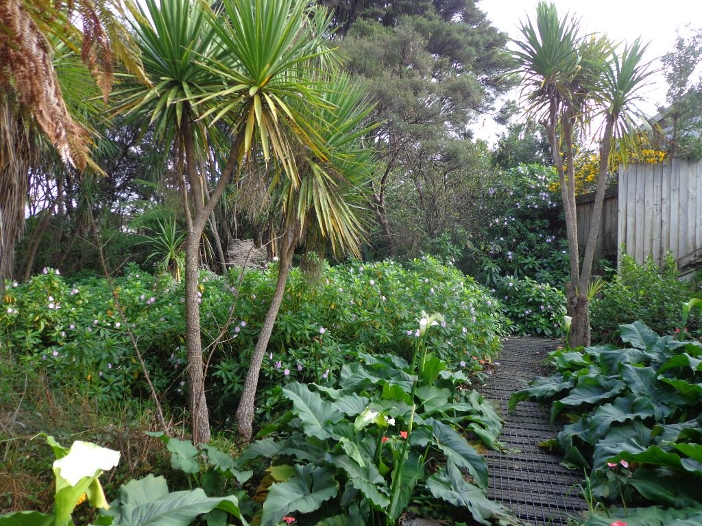
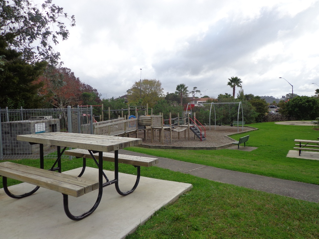
There is a children’s playground in Ray Small Park. Please check signage for off leash dog exercise areas.
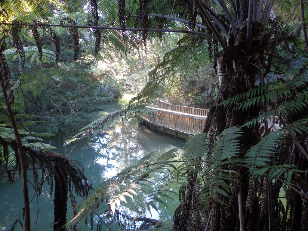
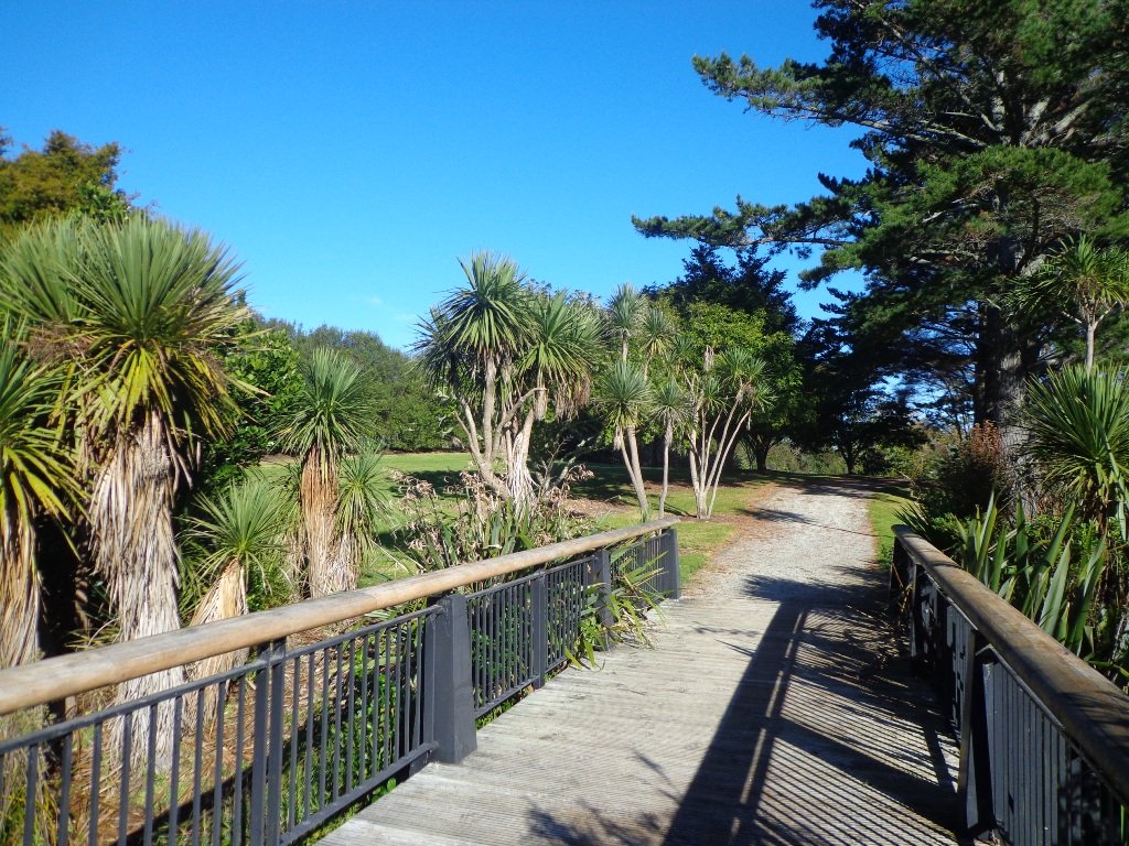
Description: Mostly level paths with a short run of steps. Suitable for most ages and levels of fitness and mobility, designed with flat shoes or running shoes in mind.
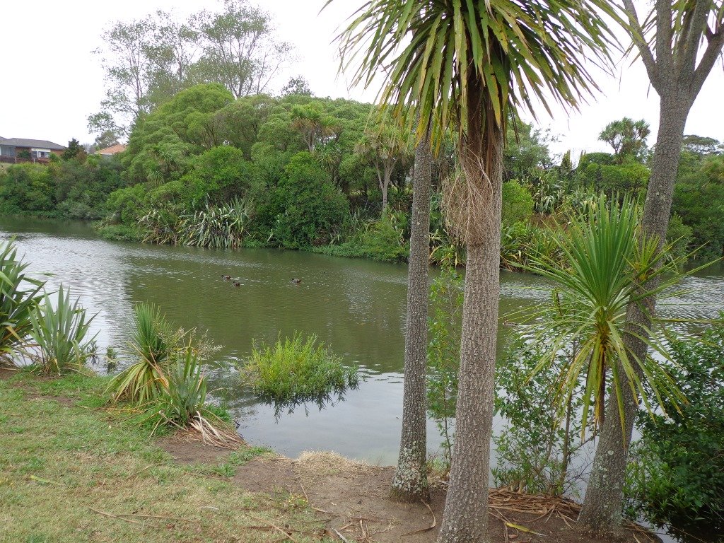
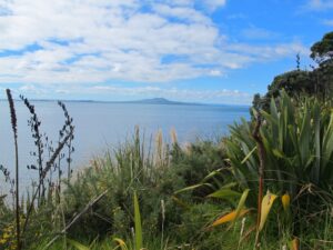
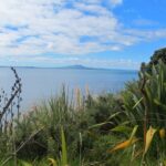
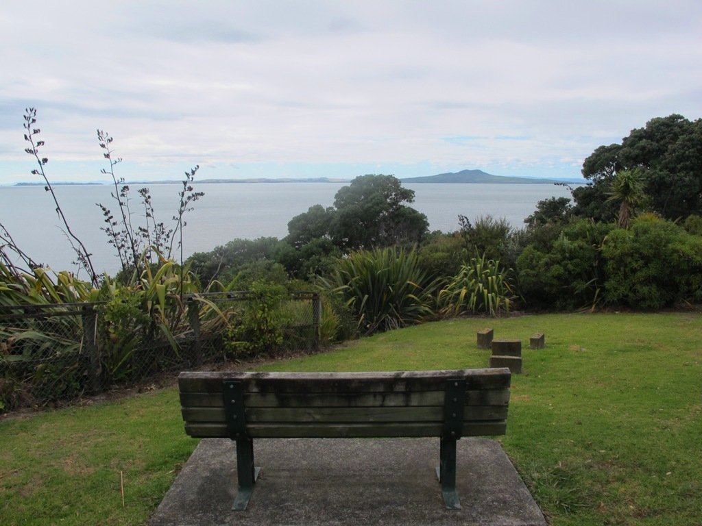
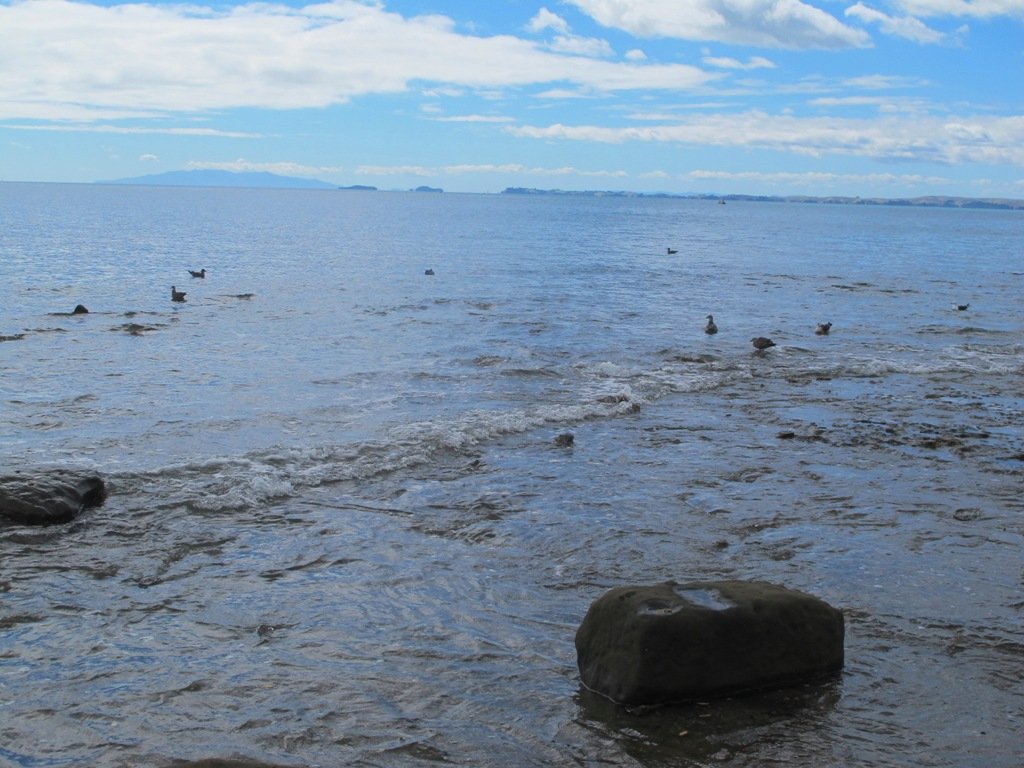
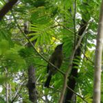
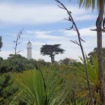
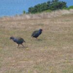
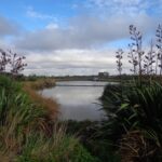
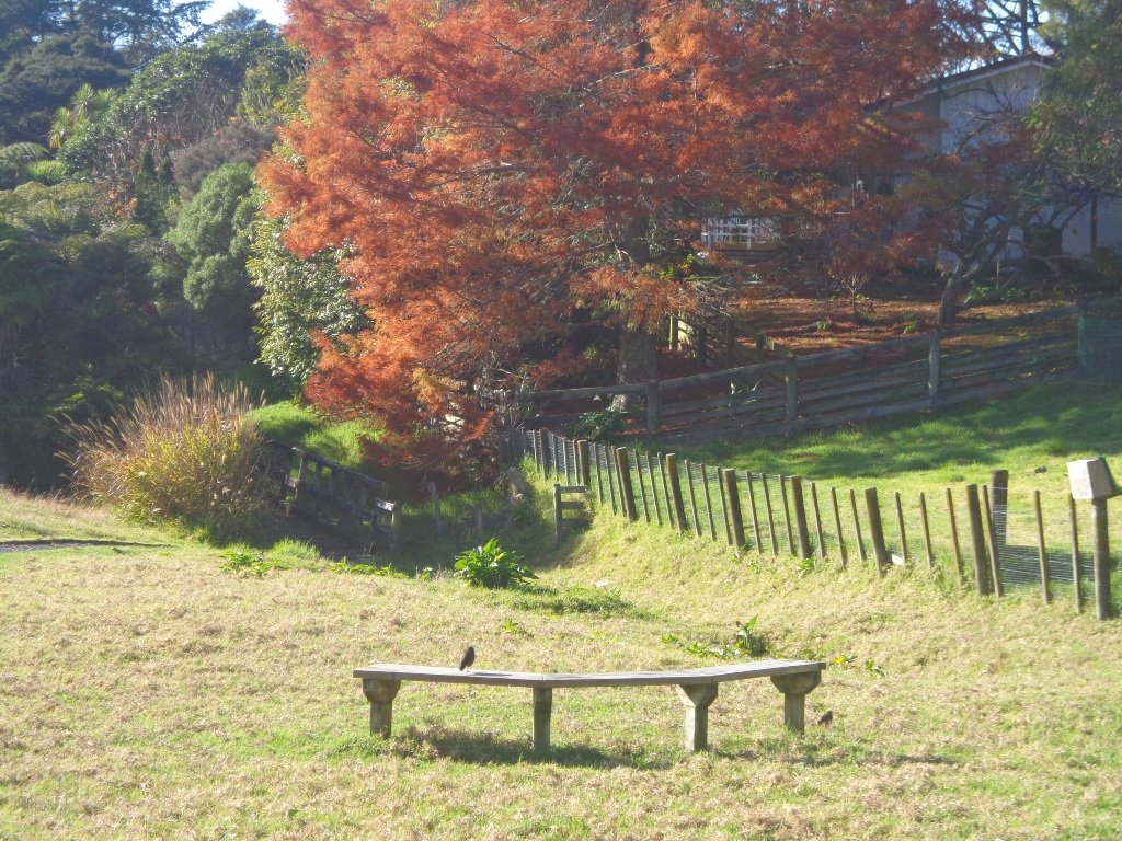
To see: Papakura Inlet coastal views, shorebirds, parks and sports field, residential streets.
Time: approx. 80 minutes (about 6.4 kms).
Start: Wharf Street, Prince Edward Park. MAP


Stay on track, find this walk (AS-105 Papakura Inlets Walk) and other walks at our Walk Store.
One of 12 walks in our book “Best of the South” available from our Book Store.


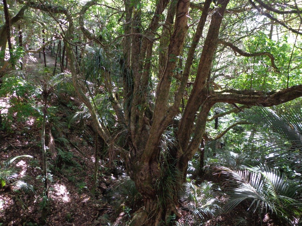
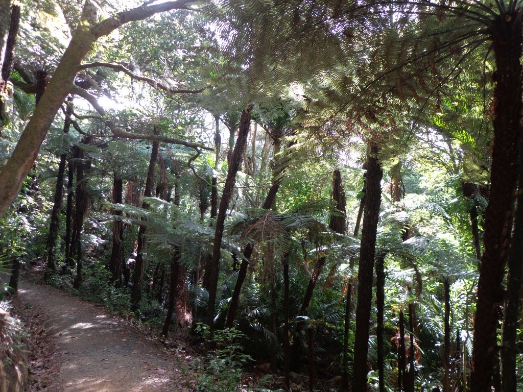
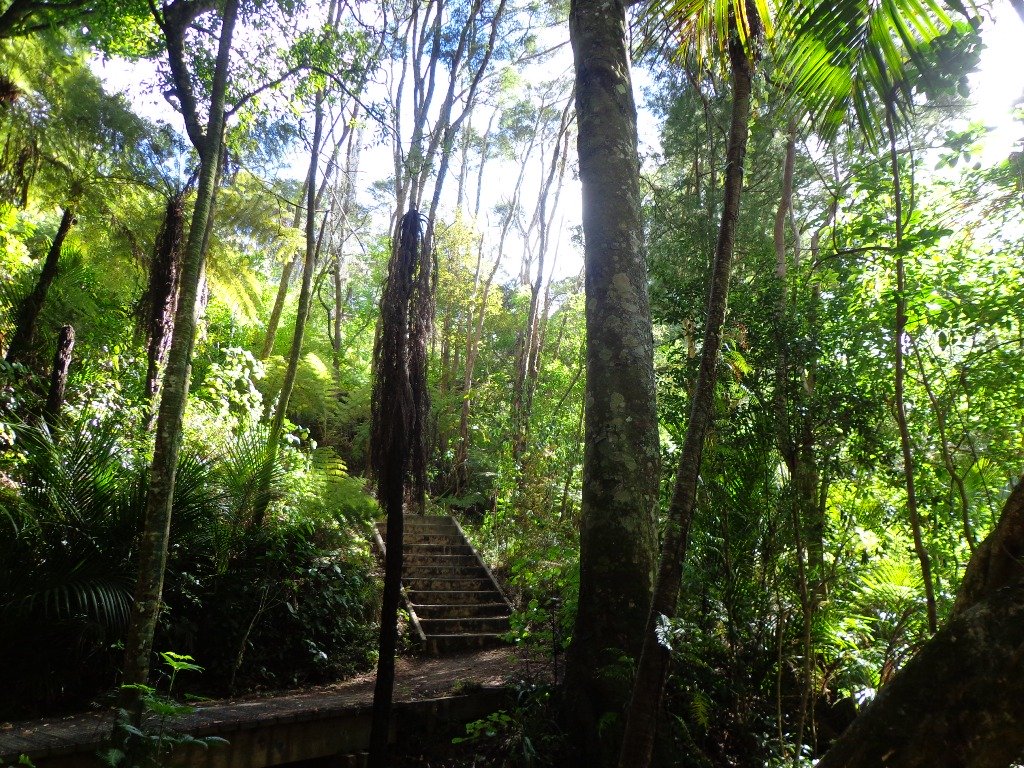
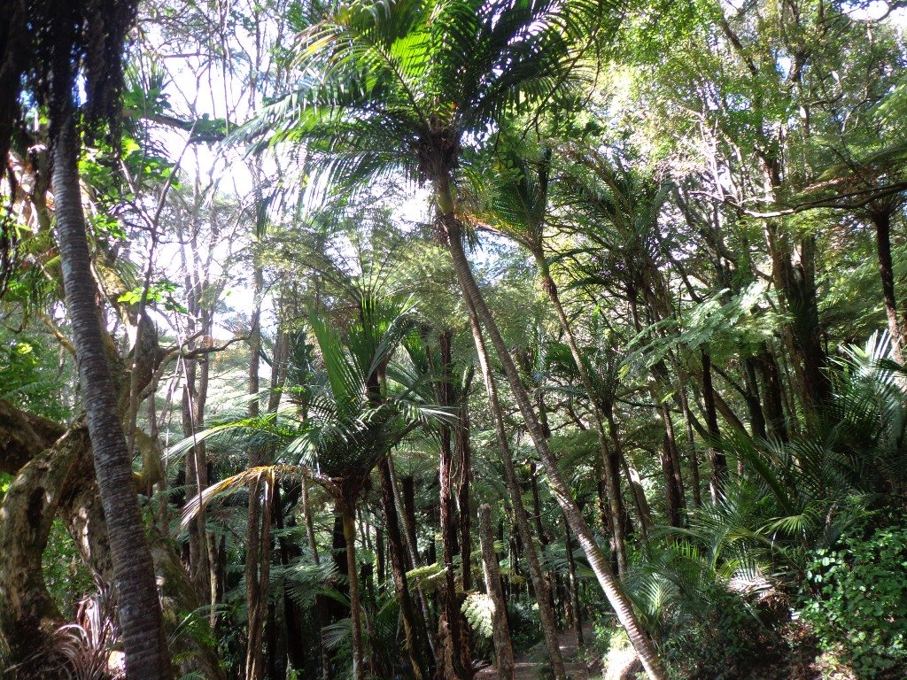
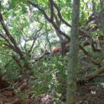
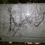
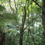
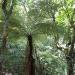
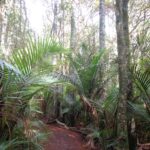
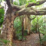
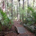
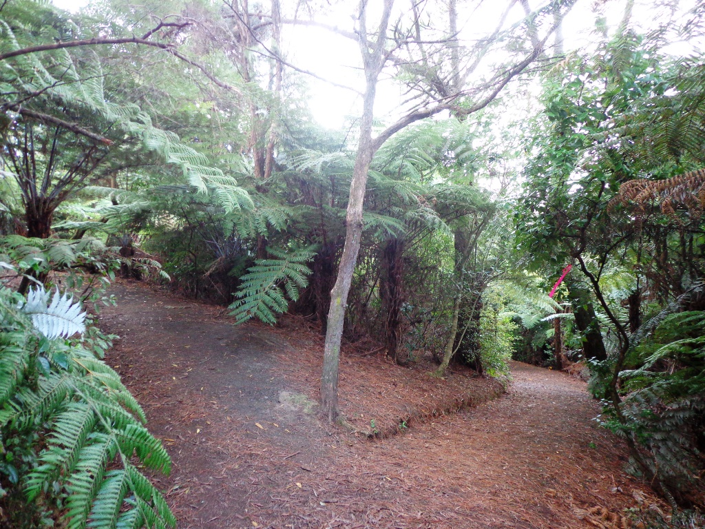
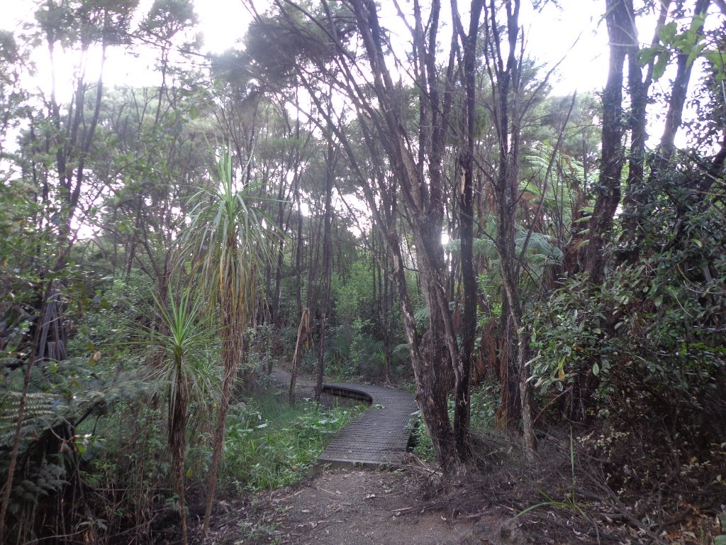
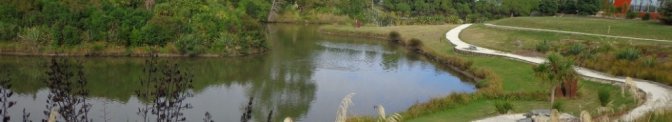
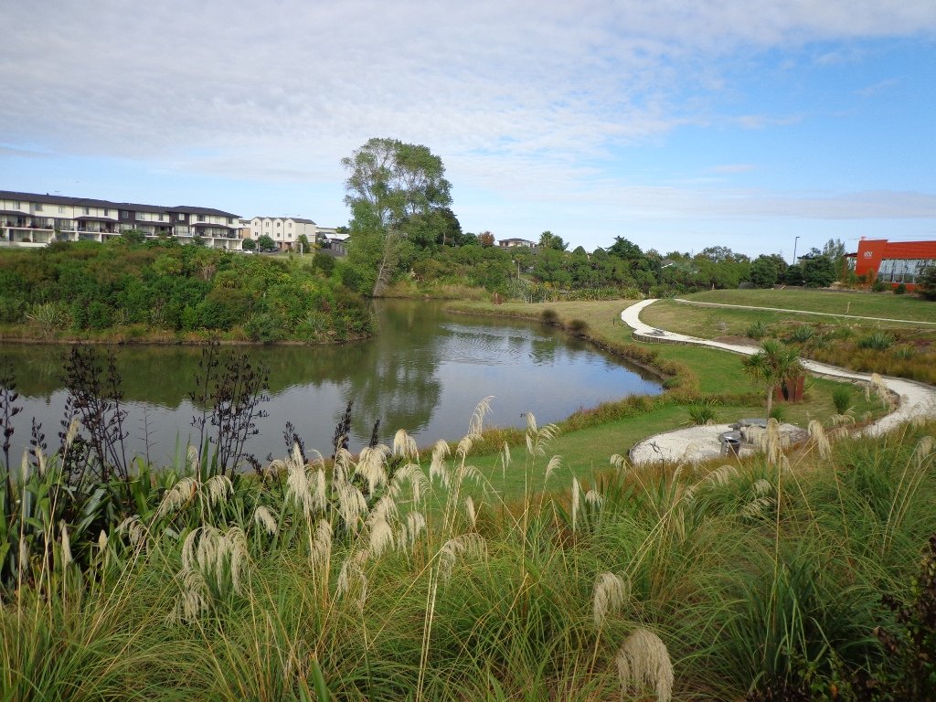
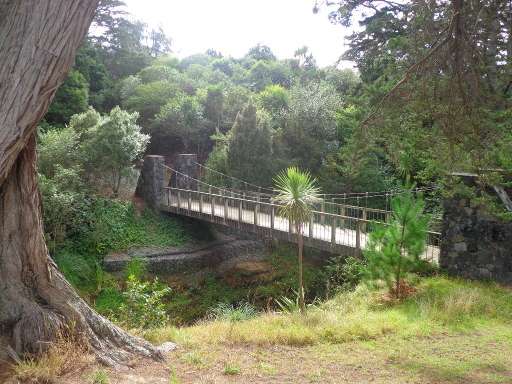
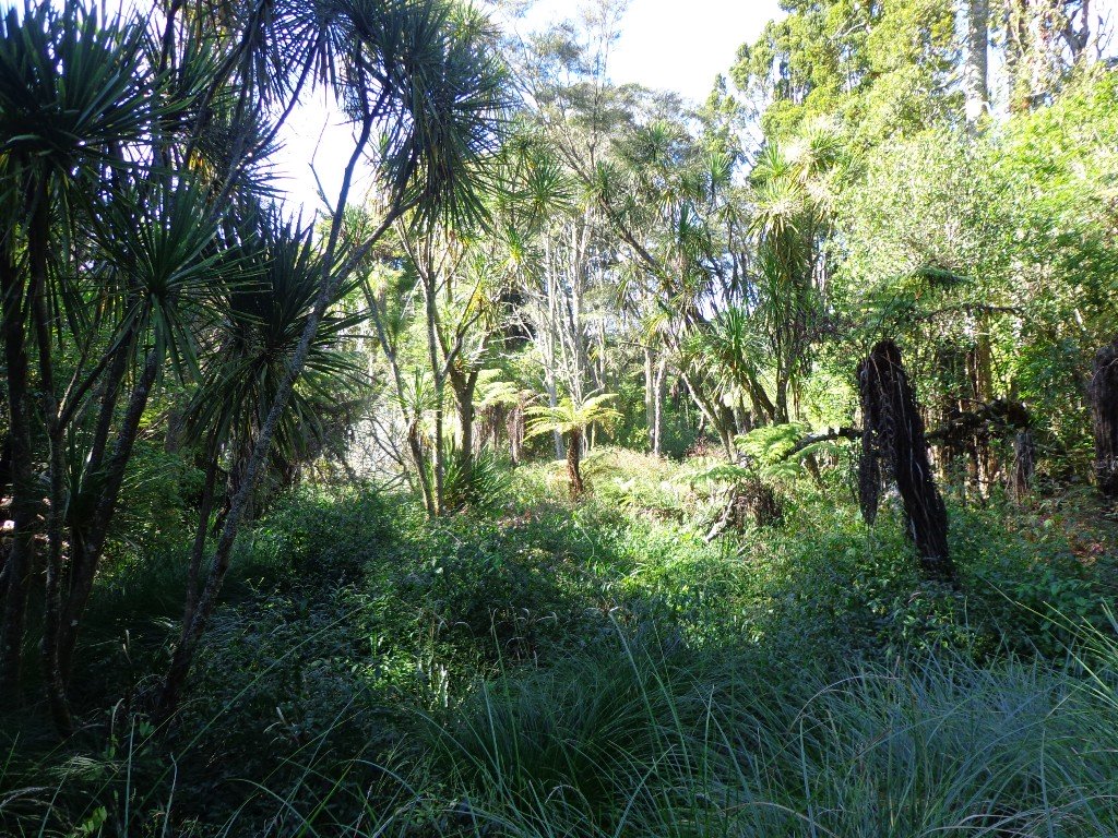
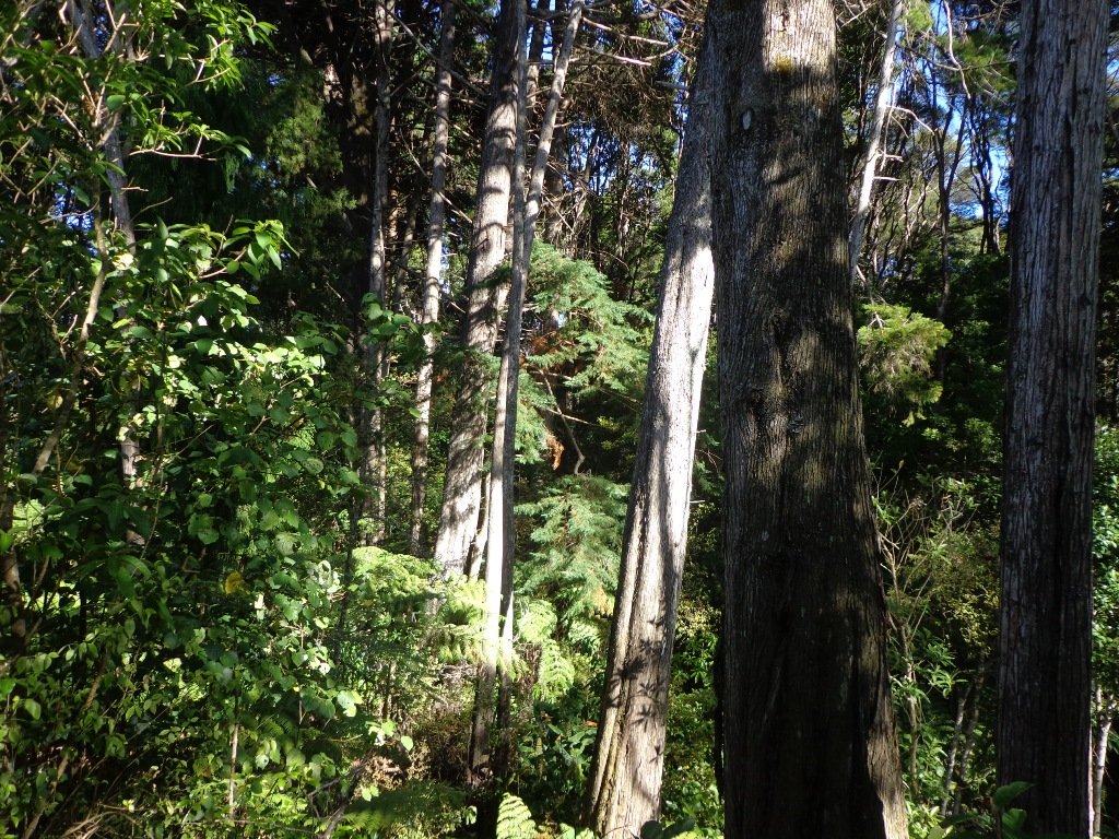
 After a walk around the nearby man-made Sir Barry Curtis Park, we retreated to the native bush of Murphys Bush Scenic Reserve.
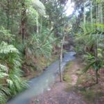
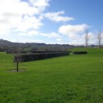
 Sir Barry Curtis Park in Flatbush was opened in 2009 after previously being used for farmland (and some of the farm’s old stone walls remain). Today was our first visit. The walkways are extensive but many of them come to a sudden dead-end. Random hills with no paths. And extremely muddy after rain (today we got mud splashed to above our knees!). As it is a new park, there is a lack of mature trees.
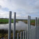
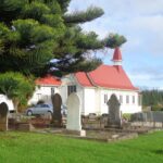


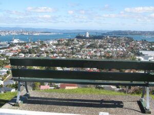
 Hillsborough Cemetery is perched on the hill above Hillsborough Bay with a view over to Mangere Mountain. Walk down through the cemetery and reserves to the bays below before starting the upward climb.
 There is a choice of 5 walks around Mangere Bridge :-
 Heading down along the coast we reach Clendon and Weymouth, where the
  The
The  And here we are at the last stop, where the walk along


 The
The 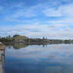 The
The Ambury Park Farm
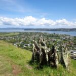 The
The 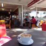 If you are looking for a walk that is buggy friendly, then the


 Devonport to North Head. Take your torch for the tunnels and your camera to capture the views across the Gulf!