Mangere Mountain and Domain are one of Aucklands true gems to explore. It is full of spectalular views of Aucklands Harbours and City, as well as many geological and history highlights.
Our recommended route requires a good level of fitness as the loop encounters a range of steep slopes and uneven terrain. There is a good pathway to the summit on a braod track suitable for buggies if you walk the route clockwise, however this is only out & back and misses many interesting features of this mountain.
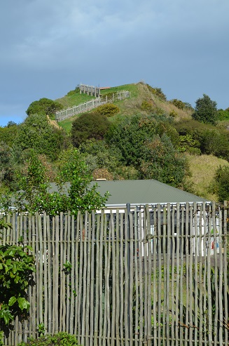
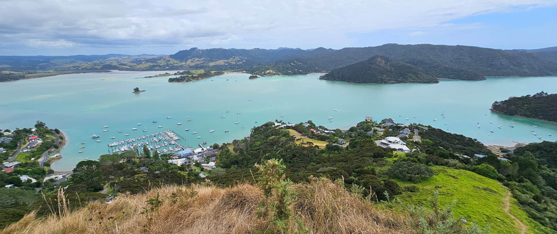
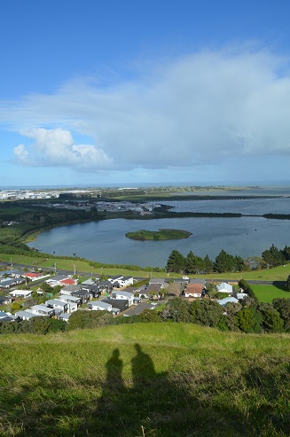
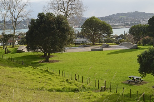
Mangere Mountain with views to Manukau Harbour
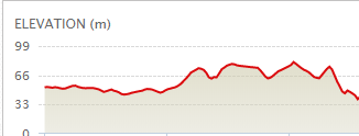
Quick facts about this walk
Walk time:
60 – 90 mins
Distance:
2.92km (yellow)
Surface:
Gravel or Grass Tracks
Difficulty:
3/5 – some steep sections
Buggies/Wheelchairs:
3/5 – the summit track is hilly but gradual if
sticking to the main route and only completing
the out & back walkway. The walkway to the
Mangere Education Centre includes a lot of stairs.
Facilities:
Toilets, Seats, Football Fields, Playground,
Skatepark
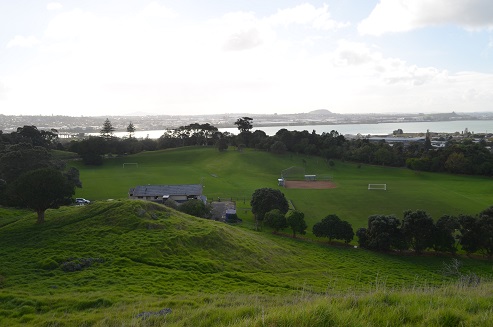
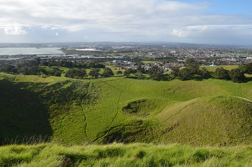
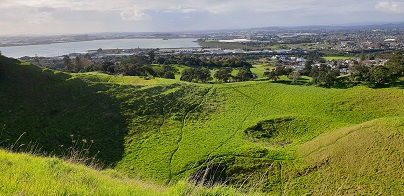
Mangere Mountain ranks as one of the most amazing places to explore in Auckland. It is full of surprises – three craters, fantastic 360-degree views, football & softball fields, playground and plenty of historic Maori heritage. Allow an hour or two to explore this volcanic mountain, plus additional time for the Mangere Education Centre if you are able.
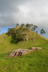
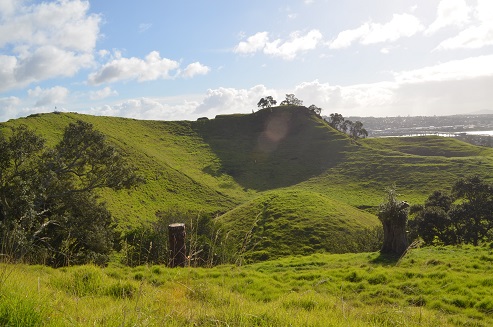
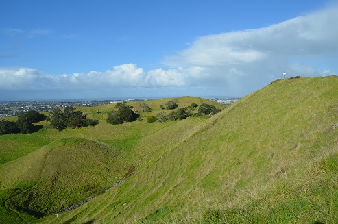
Mangere Mountain Peaks
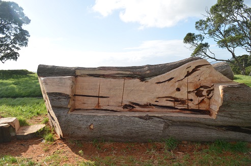
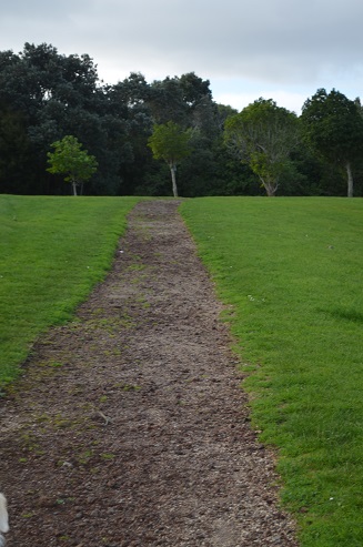
We commenced our walk at the carpark near the soccer clubrooms and headed through the nearby gate. Our route takes us anti-clockwise on the eastern edge of the main crater and towards the playground. We then join the trail towards the Mangere Education Centre – well worth the walk. You will experience aspects of Maori history and heritage along this walkway.
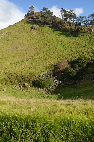
Maori Terracing and Palisades
Now its time to climb! If you have good fitness and are up for narrower and bumpy terrain continue on our recommended route by following the yellow trail on the Google Map. If you have a buggie or want something a bit less challenging, head clockwise up the main trail to the summit.
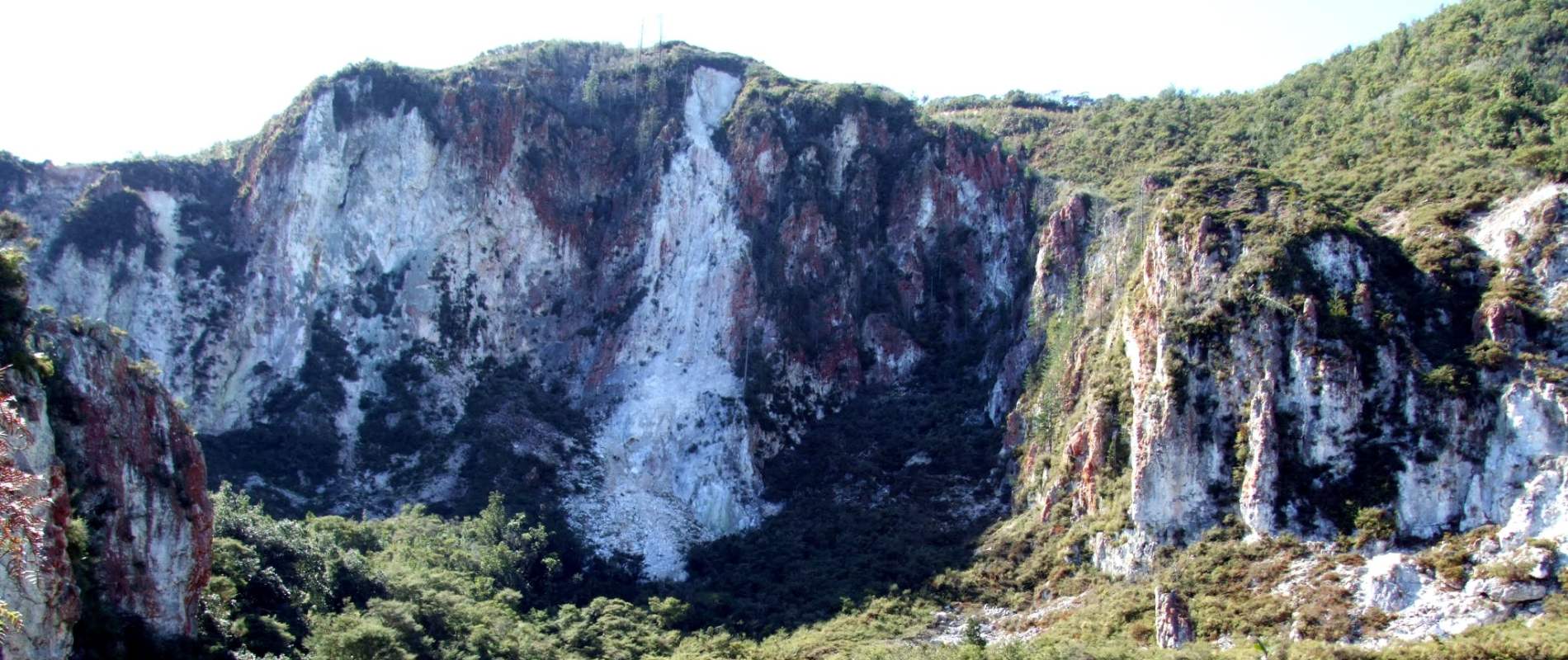
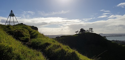
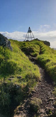
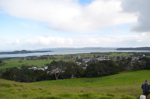
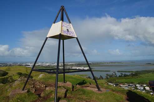
Our route passes adjacent to the second crater (the 3rd crater was quarried and is where the Soccer Fields and Education Centre are now situated). The views South and East and to the North as you climb will have you clicking your cameras. Continue upwards towards the upper rim of the main crater – the track is a little narrow and steep in places and can be a bit slippery in the wet – but worth the walk. Take in the sights at first high knoll plus the Trig for stunning views of Auckland.
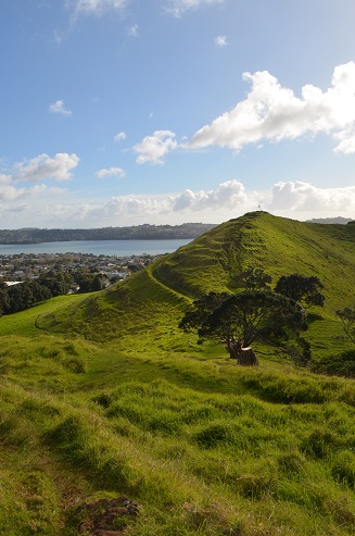
As you venture around the rim you will pass numerous large kumera pits and other significant Maori heritage. It is worth following our recommended high route instead of the wider track back to the carpark.
To extend your walk you can also consider returning via the lower track that circumnavigates the mountain. It is a narrow but pleasant track through the grass but contains few noticeable special features that demand your attention.
Buggies and Wheelchairs
The Mangere Mountain Domain contains some wide unsealed tracks that are suitable for ‘off-road’ buggies. These include the initial part of the Mangere Education Trail and the Trig Track walking in the clockwise direction.
Wheelchairs and standard strollers would be a challenge but with a strong person pushing might be okay.


