Devonport Heads Walk via Mt Victoria
7.50 kms • 1.25 Hours • Easy • Excellent short
7.50 kms • 1.25 Hours • Easy • Excellent short

2.5 km loop • 35 mins • Easy • A

11.70 kms • 4 Hours • Easy • Rangitoto Island
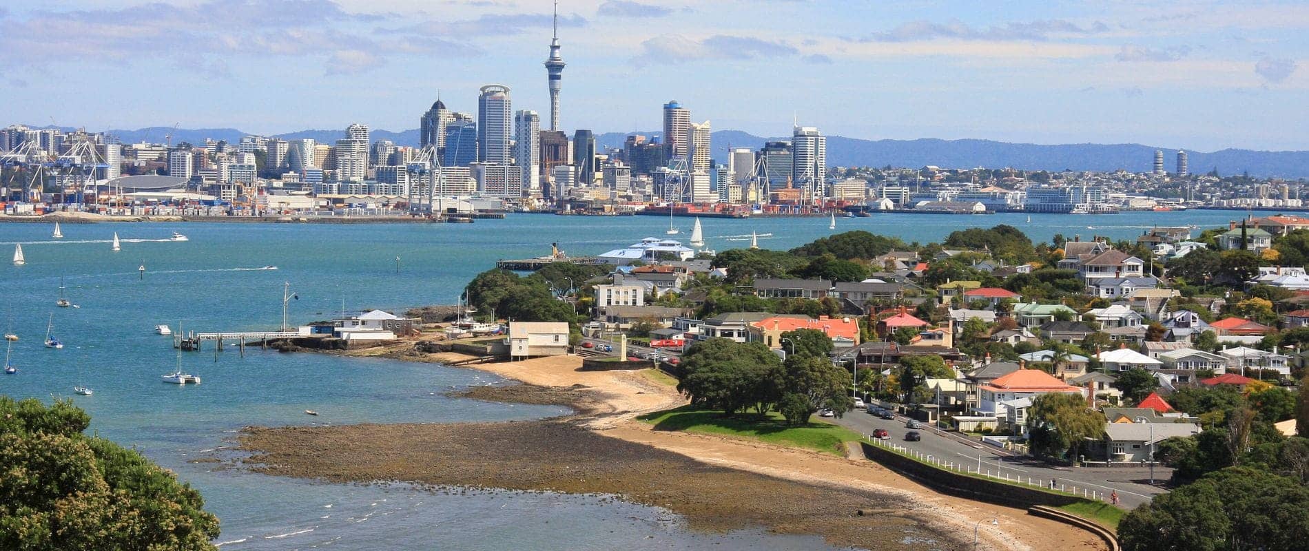
This weekend we embarked on an alternative Auckland coast to

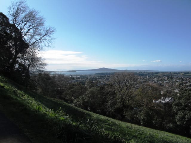
Mt Eden is one of the most popular places to