
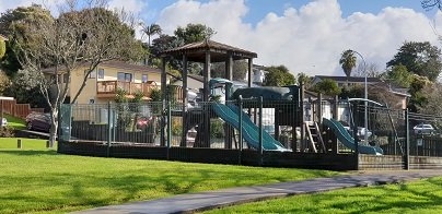
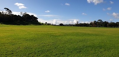
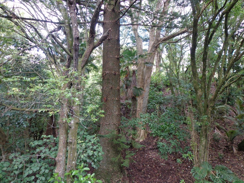
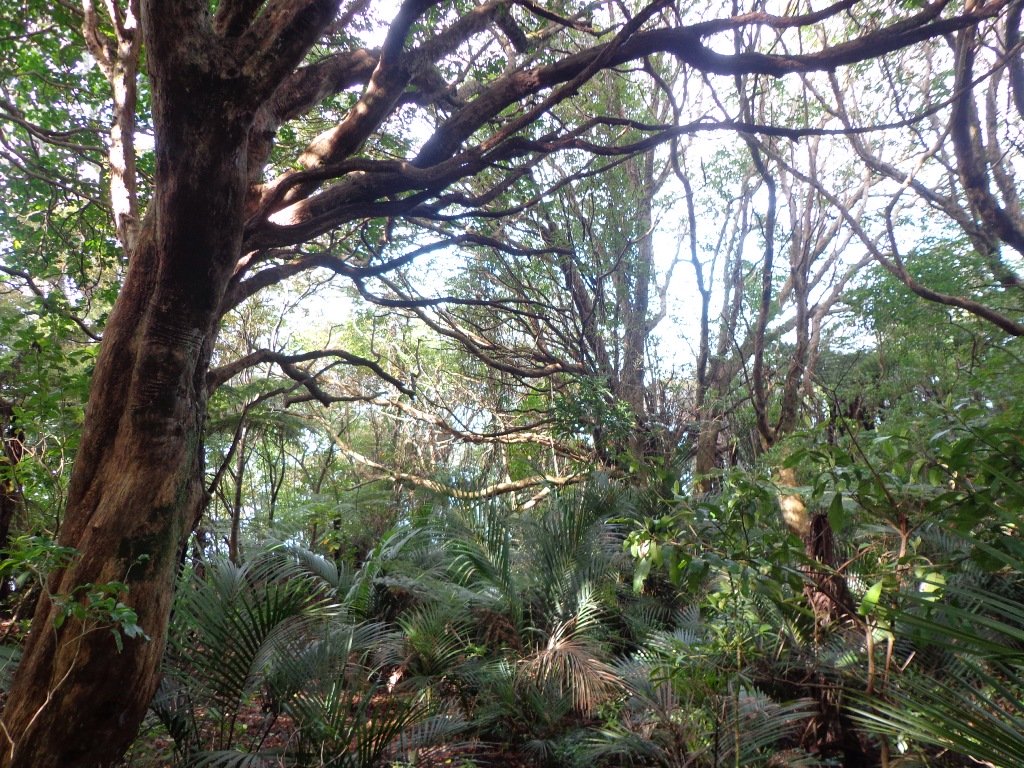
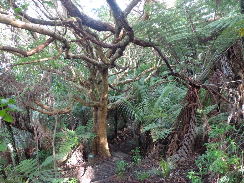
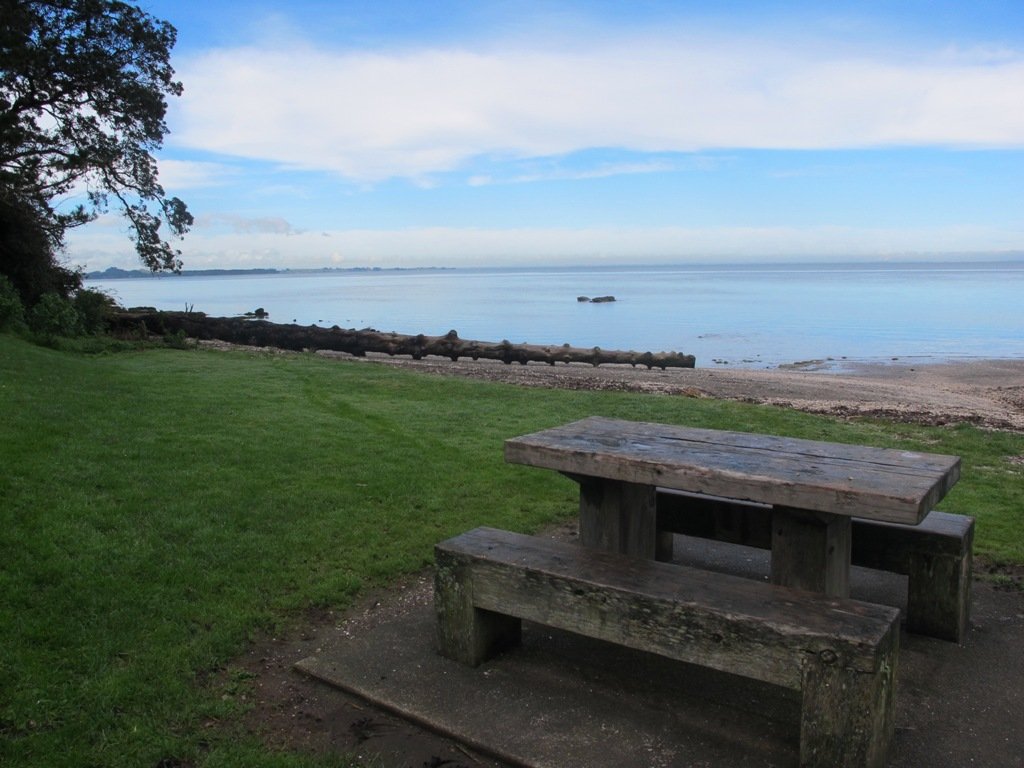
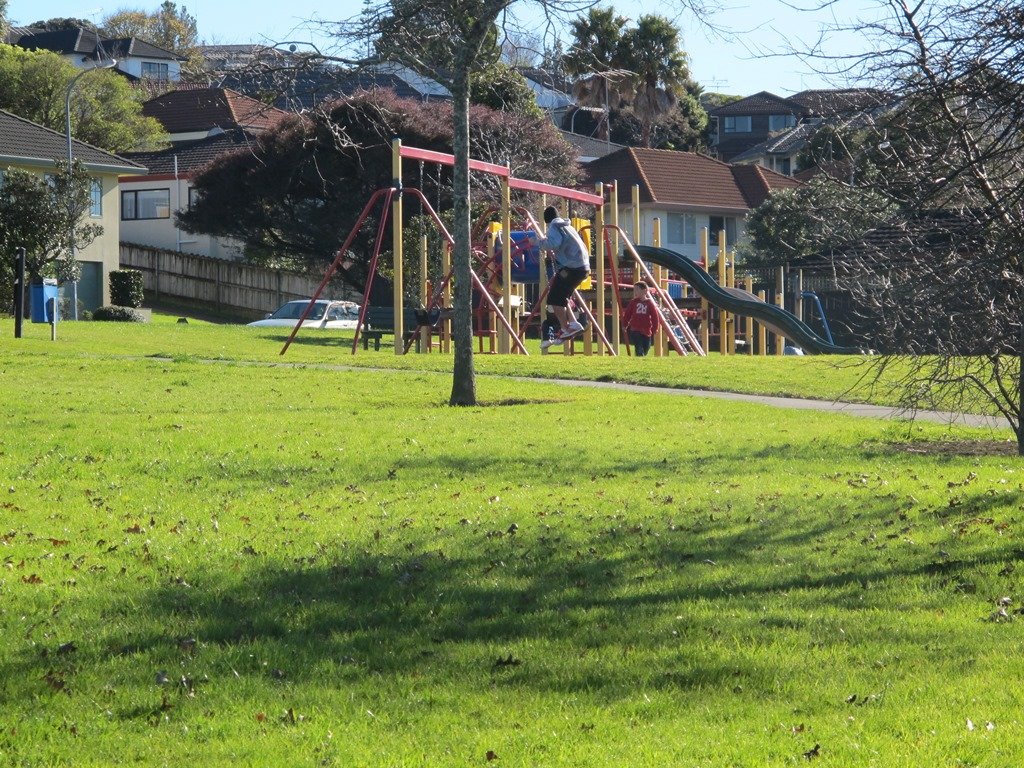
This is one of our smaller loop walks but a delightful one, boasting native bush and many birds. Kohuora Park is full of surprises – not only is it one of Auckland’s 50 volcanoes but is the home of the Papatoetoe Panthers Rugby League Club. The kids will also enjoy the playground.

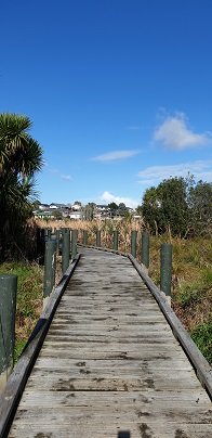
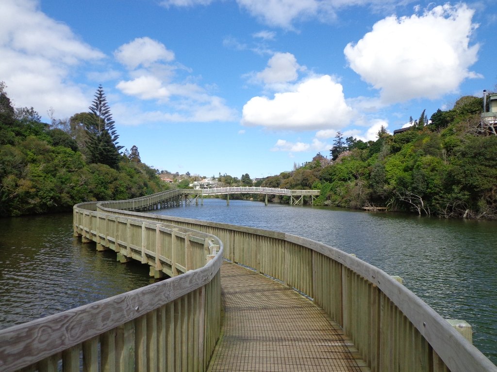
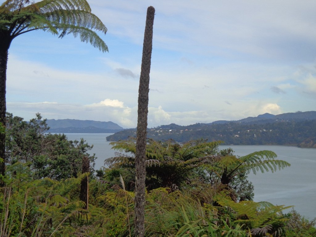
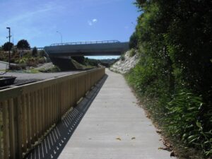
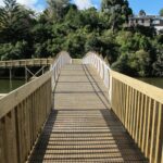
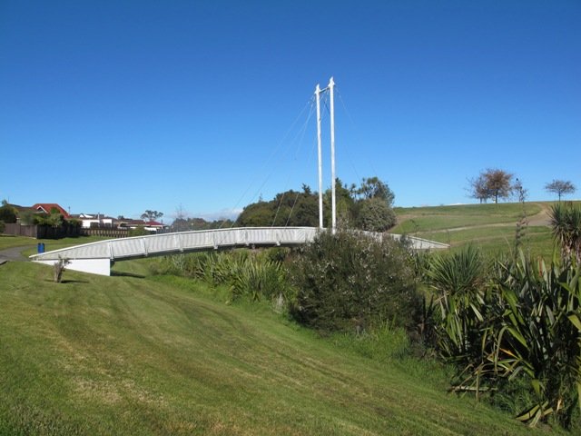
The volcano at Kohuora Park is about 600m across and defined by a tuff/rim that is about 30m high, some of which still remains today. The track is mostly flat and incorporates paved walkways and boardwalks.
| Walk Time | 15 – 40 mins |
| Surface | Paved or Boardwalk |
| Difficulty | 1 |
| Buggies/Wheelchairs | Flat and easy walkway |
| Facilities | Toilets, Water, Playground |
| Highlights | Native Bush, Grass Fields |
Click to open the Google Map is a separate tab or tap on the icon in the top right of the map.
Kohuora Park & Volcano Walk Descriptions
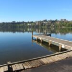
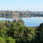
Kohuora Park is one of Auckland’s hidden parks, probably one only known by locals and rugby league fans – it is the home ground of the Papatoetoe Panthers Rugby League Club. It is also one of Auckland’s 50 volcanoes, measuring about 600 meters across and 30m deep.

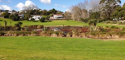
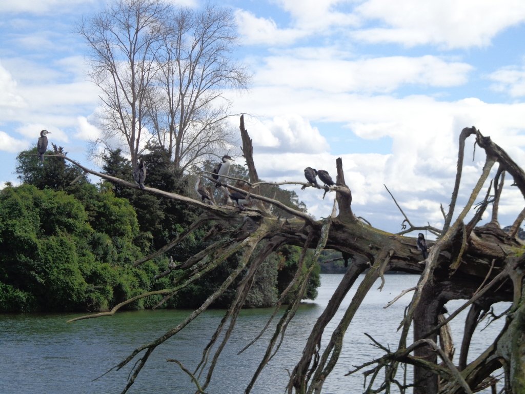
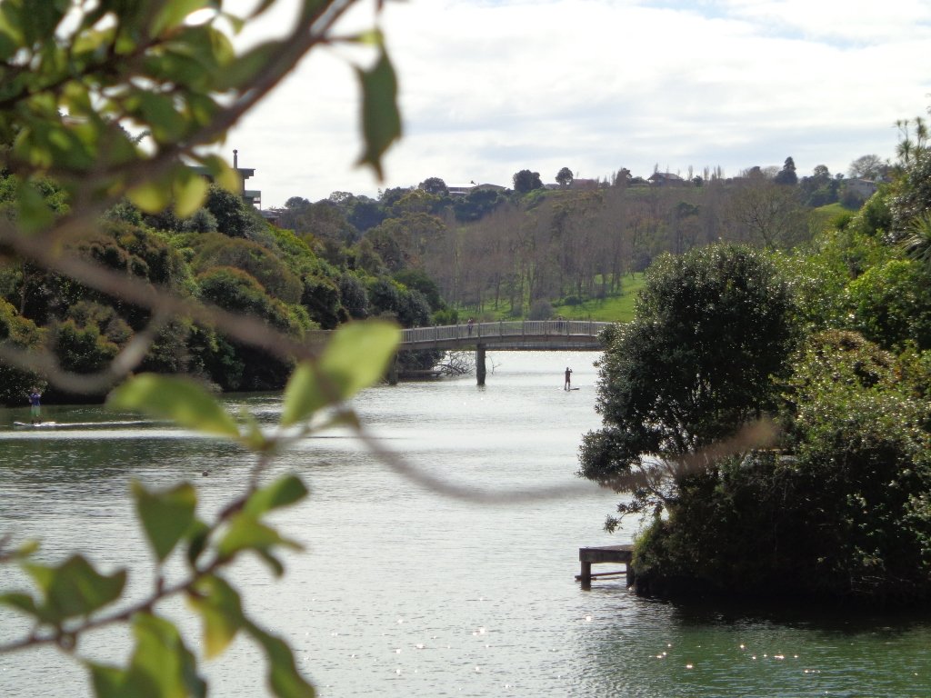
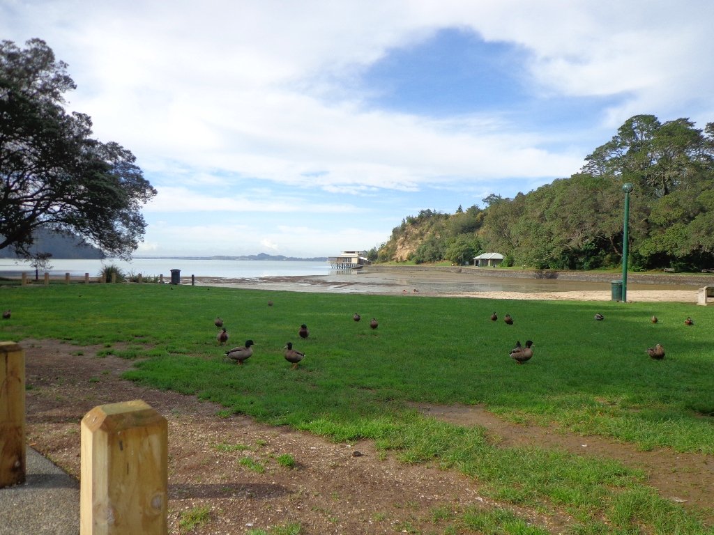
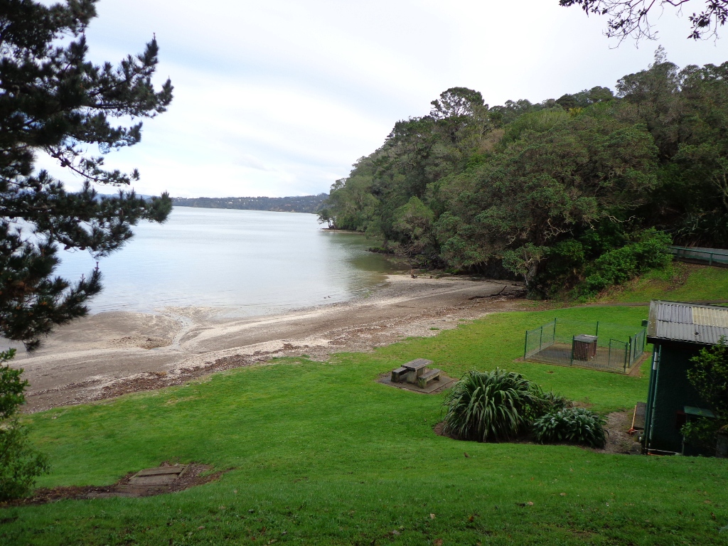
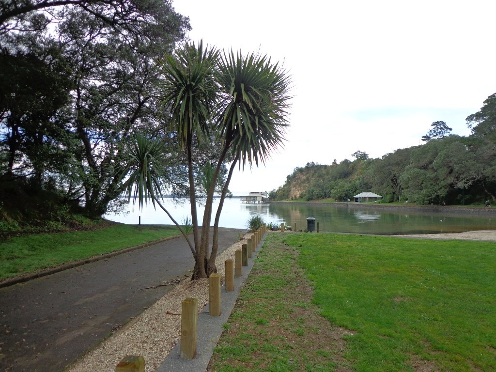
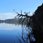
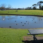
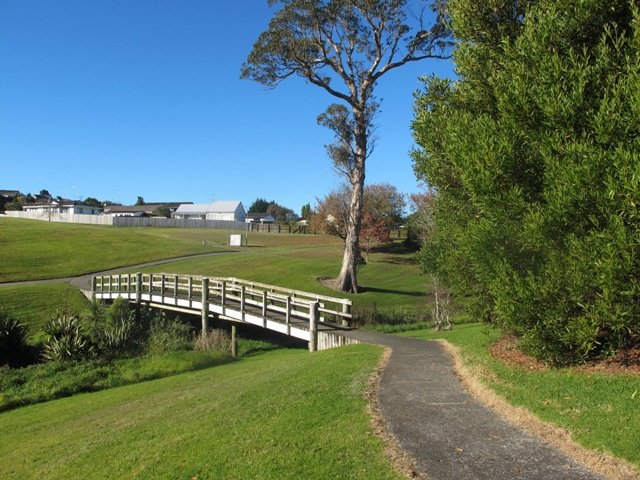
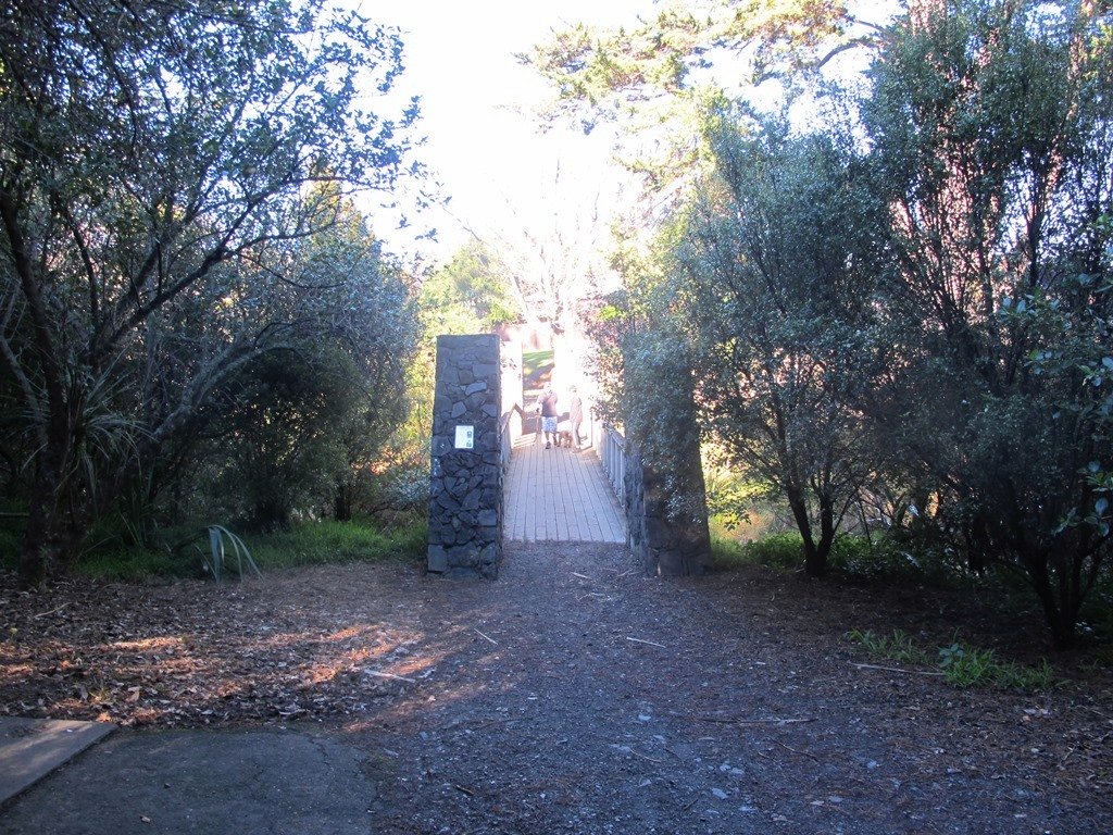
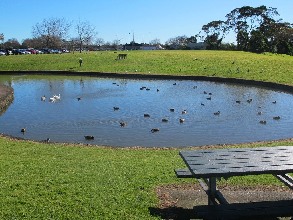
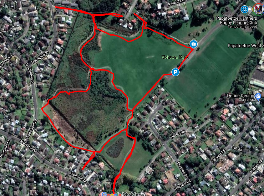
The tracks consist of primarily two large loops that thread their way between native bush and grass fields. The walkways are paved or boardwalk and mostly flat, with just some smaller undulations. There are marshlands that can in places overflow sections of the track in seasons where there is heavy rain – certainly, there were aspects of the track that were underwater when we completed it but it was still all passable. The local ducks were celebrating :).

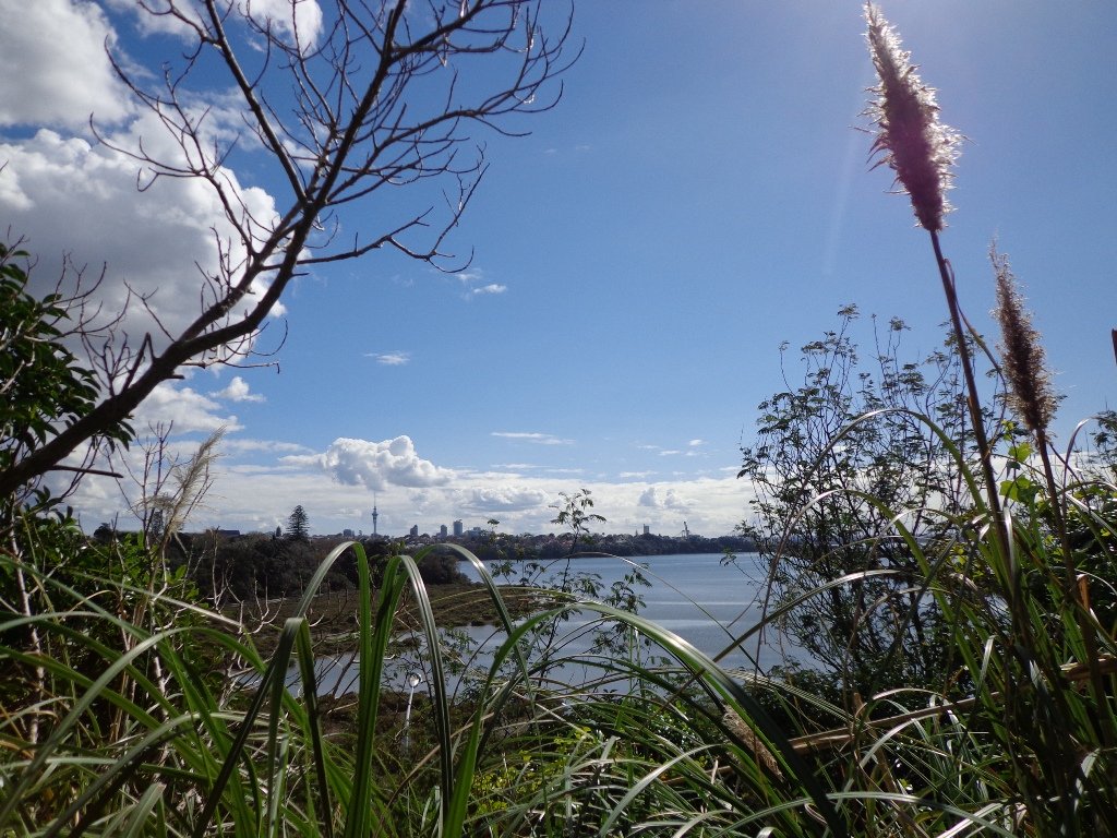
We commenced our walk at the carpark closest to the tracks and walked clockwise. If you have the time, make the effort to complete the outer circuit, approximately about 2km – its a peaceful native bush walk, interrupted by plenty of wonderful birdlife – pukeko, kingfisher, white-faced herons and more waders. The northern part of the track contains a little undulation as it rises up some of the crater tuff.
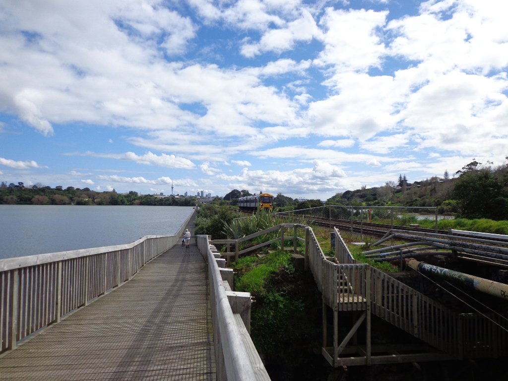
The Tohuora Park can via the Papatoetoe Train Station, with just a few minutes walk.
Buggies/Wheelchairs
This walk is great for buggies and wheelchairs due to its relatively flat nature and paved walkway.
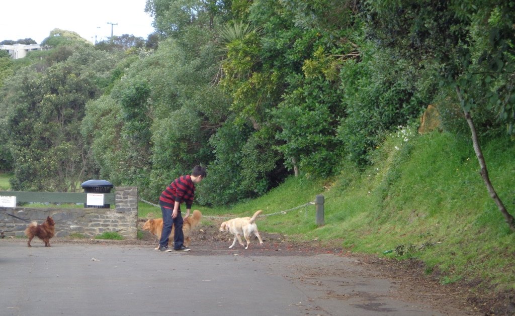
Dog Friendly
Kohuora Park is suitable for dogs and includes an off-leash dog area also. As with all Auckland Parks, dogs should not be on the sports fields.
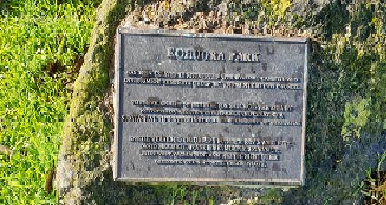
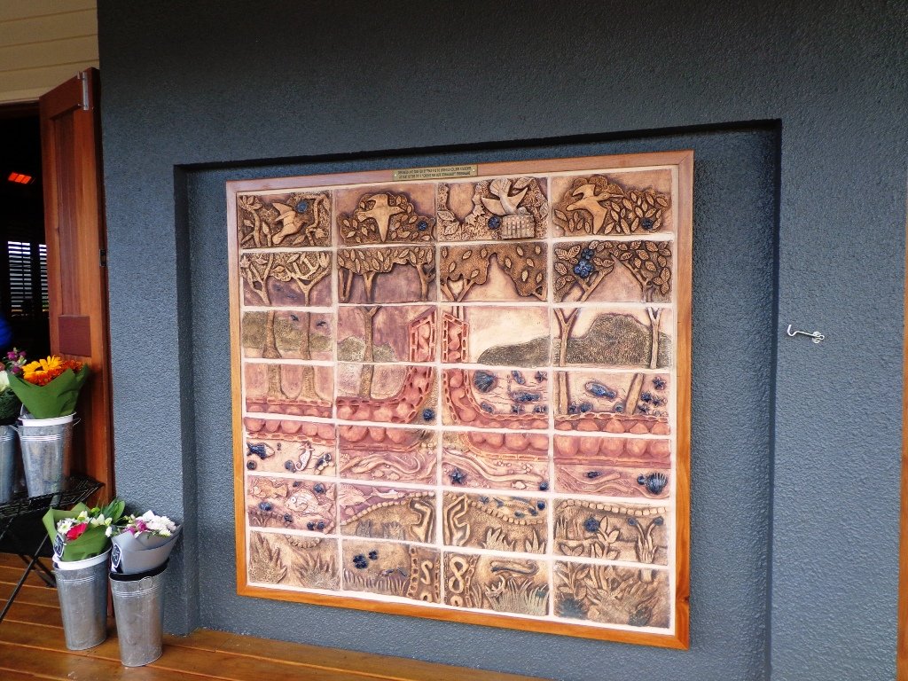
Kohuora Park Information and History
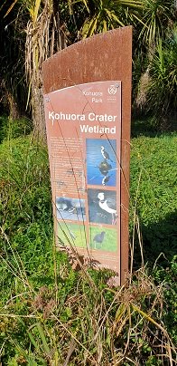
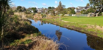
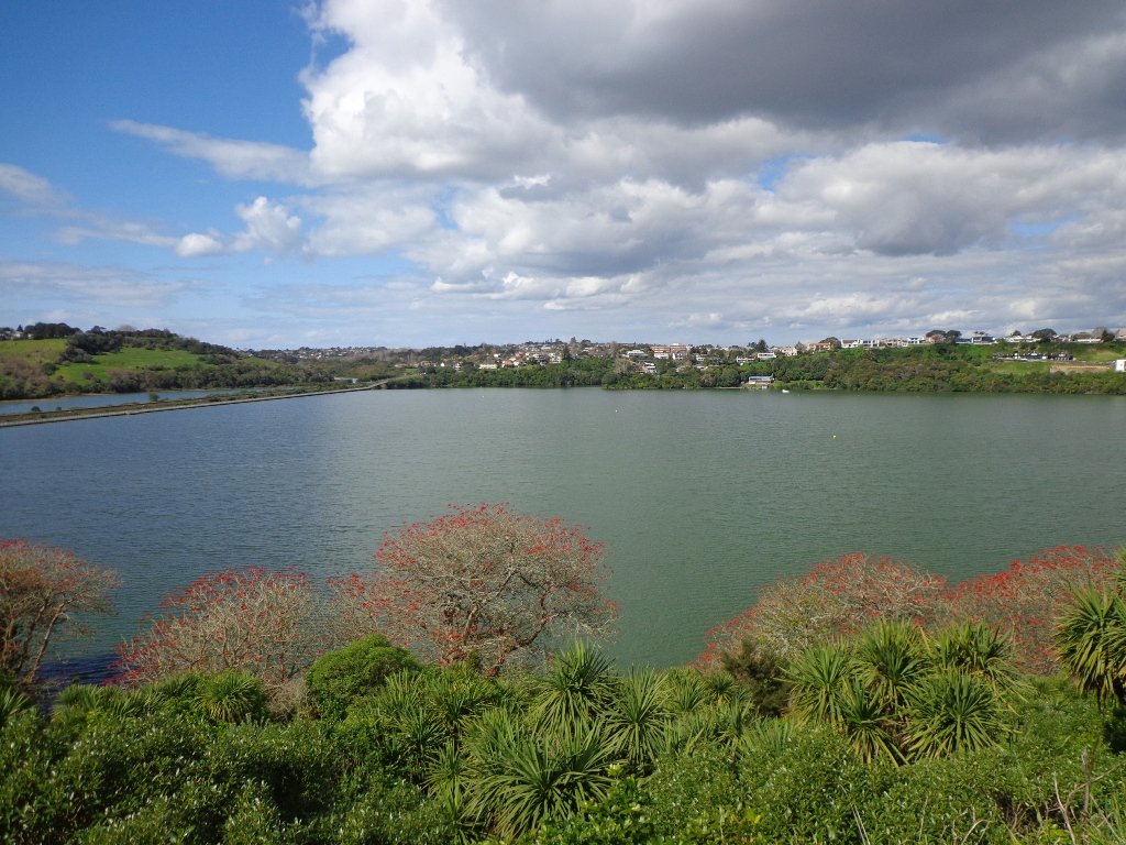
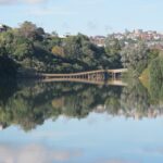
Kohuroa Park wetland


 Suggested Cafés:
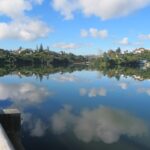


