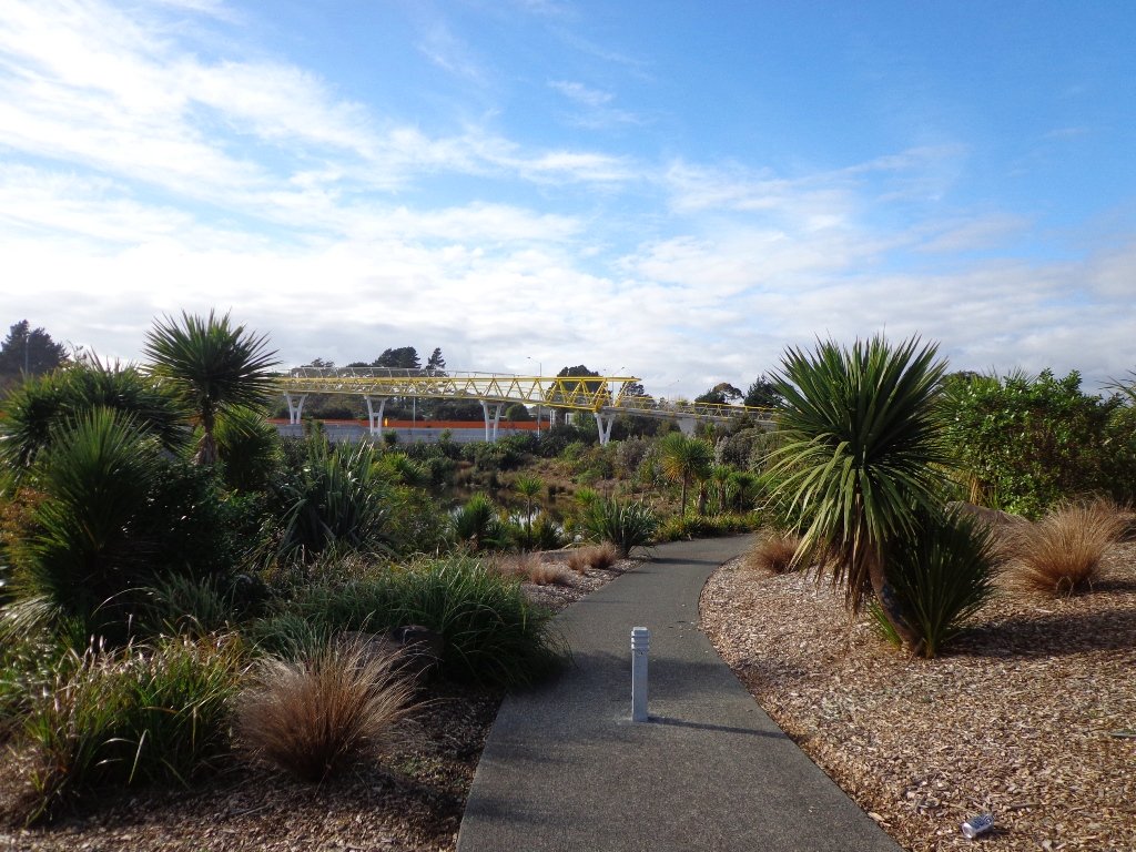
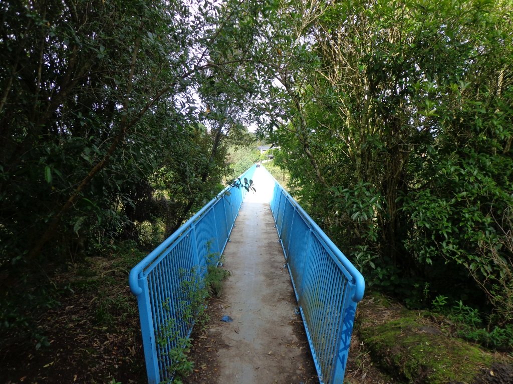
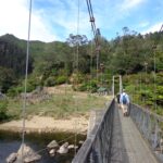
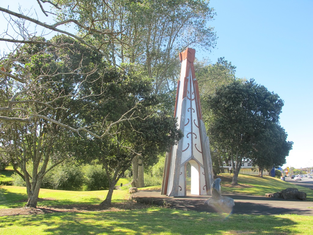
We have done this Moire Park Bush Walk in Massey, West Auckland, twice previously and this time we returned to make use of the yellow walking/cycling bridge that now crosses the motorway.
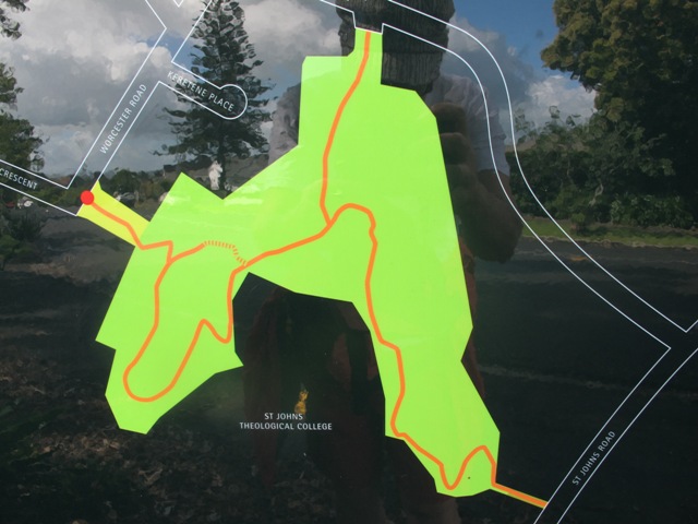
Note: this GPS Google Map is of Moire Park and does not include some of the extra walking described in the description below and brochure.
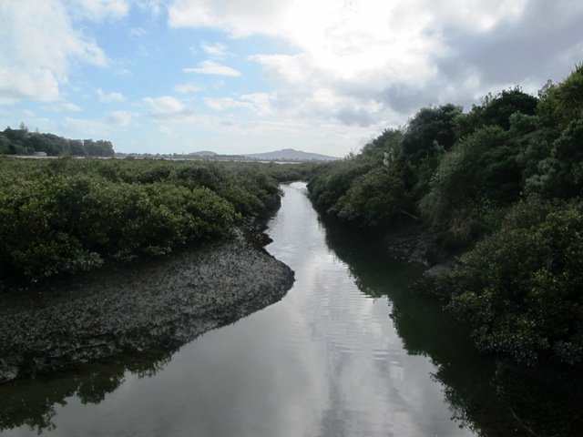
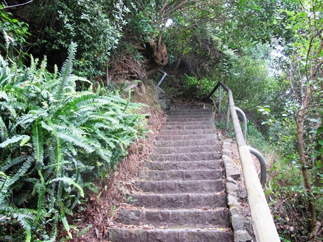
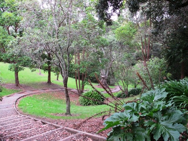
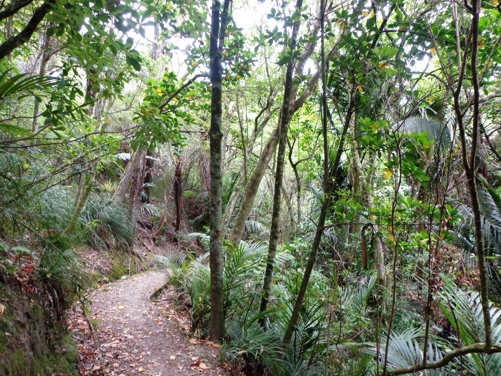
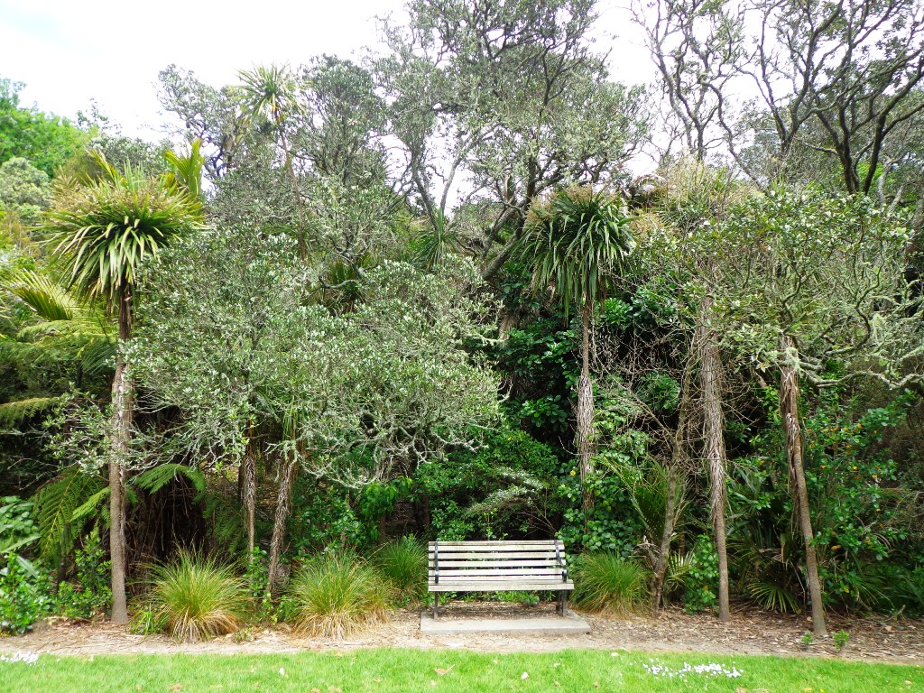
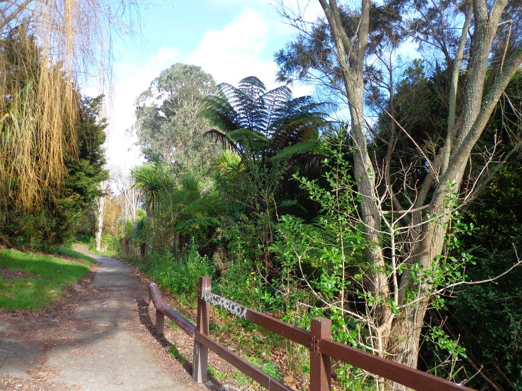
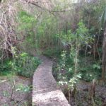
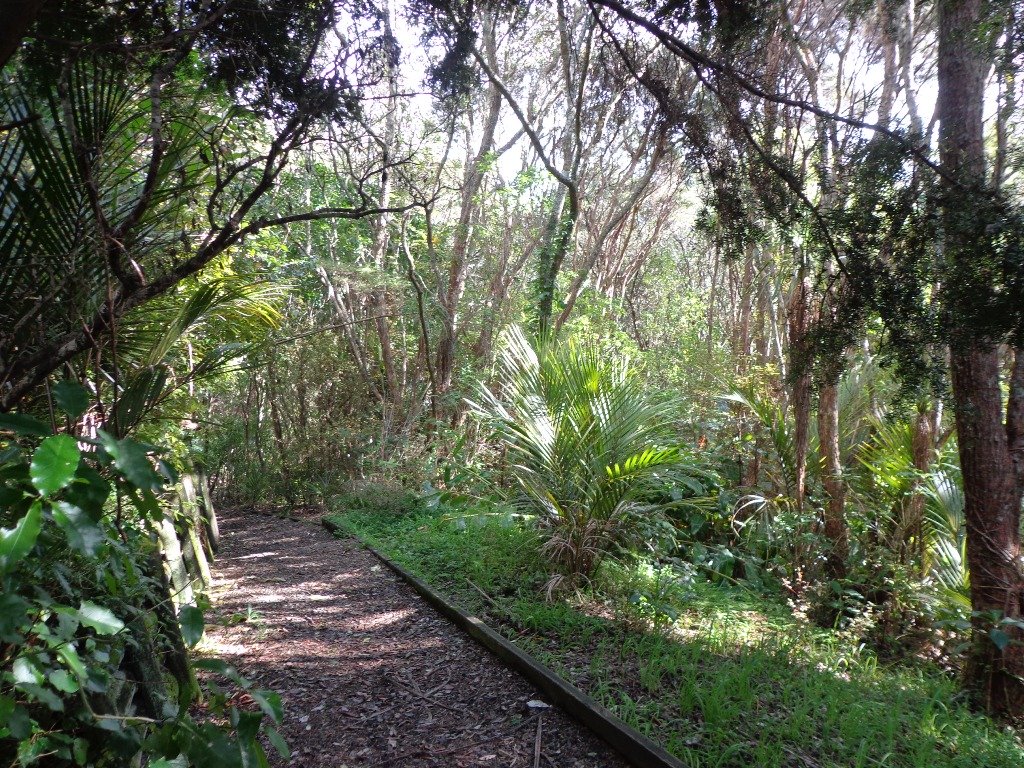
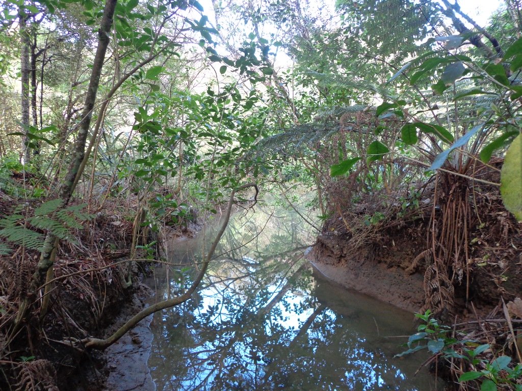
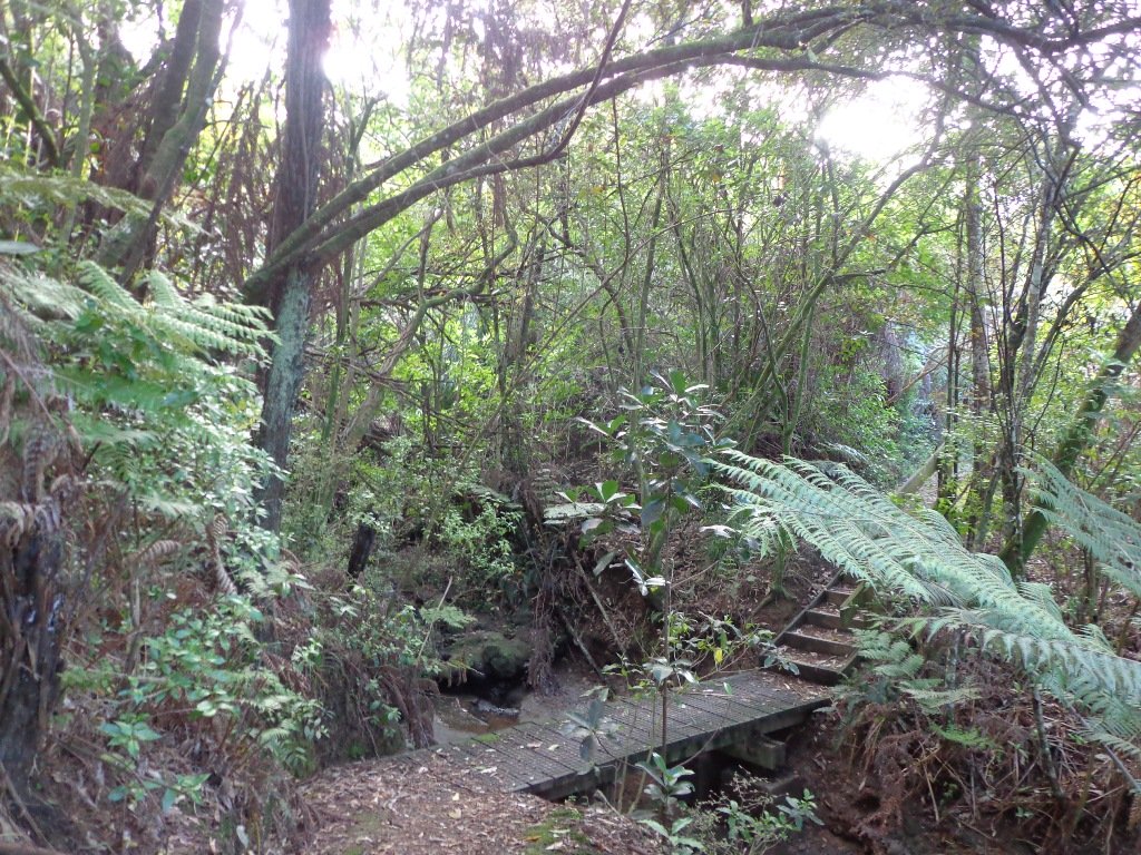
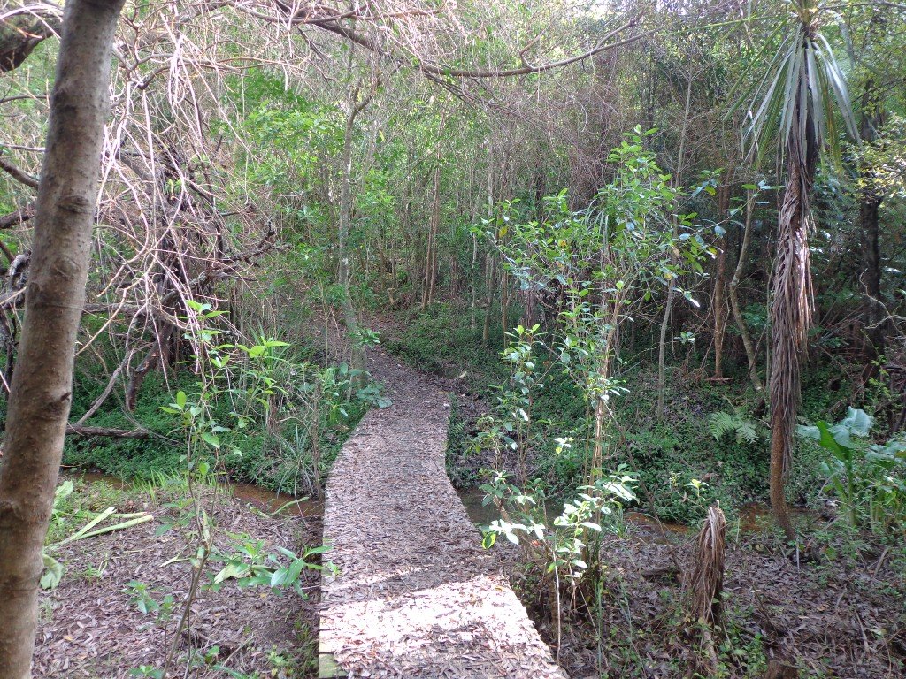
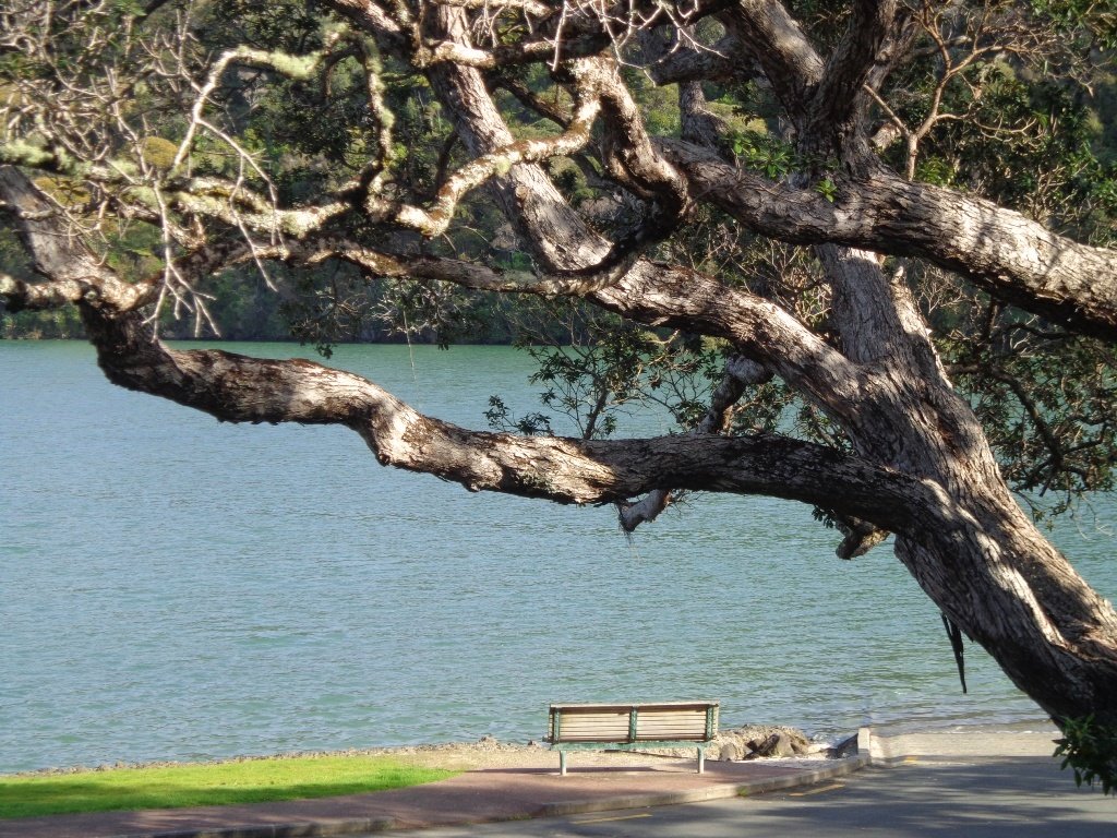
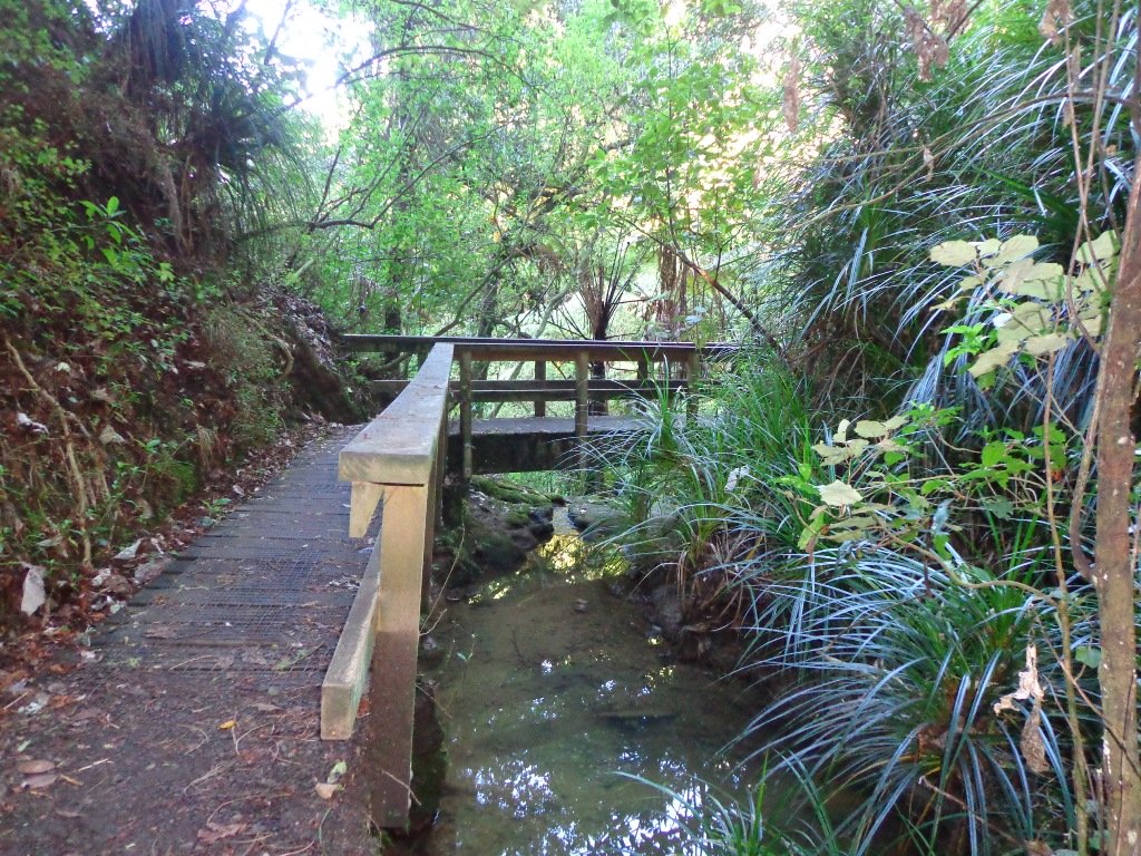
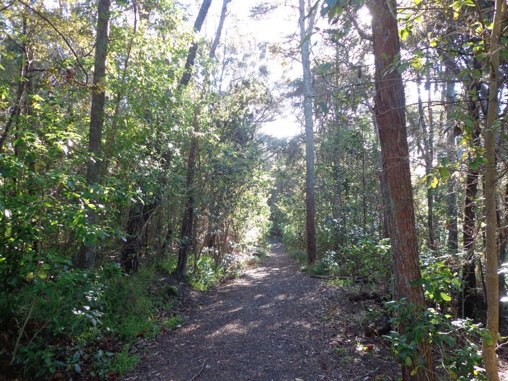
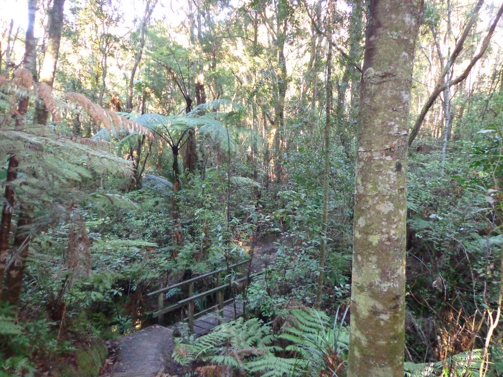
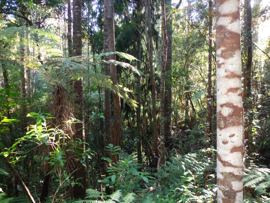
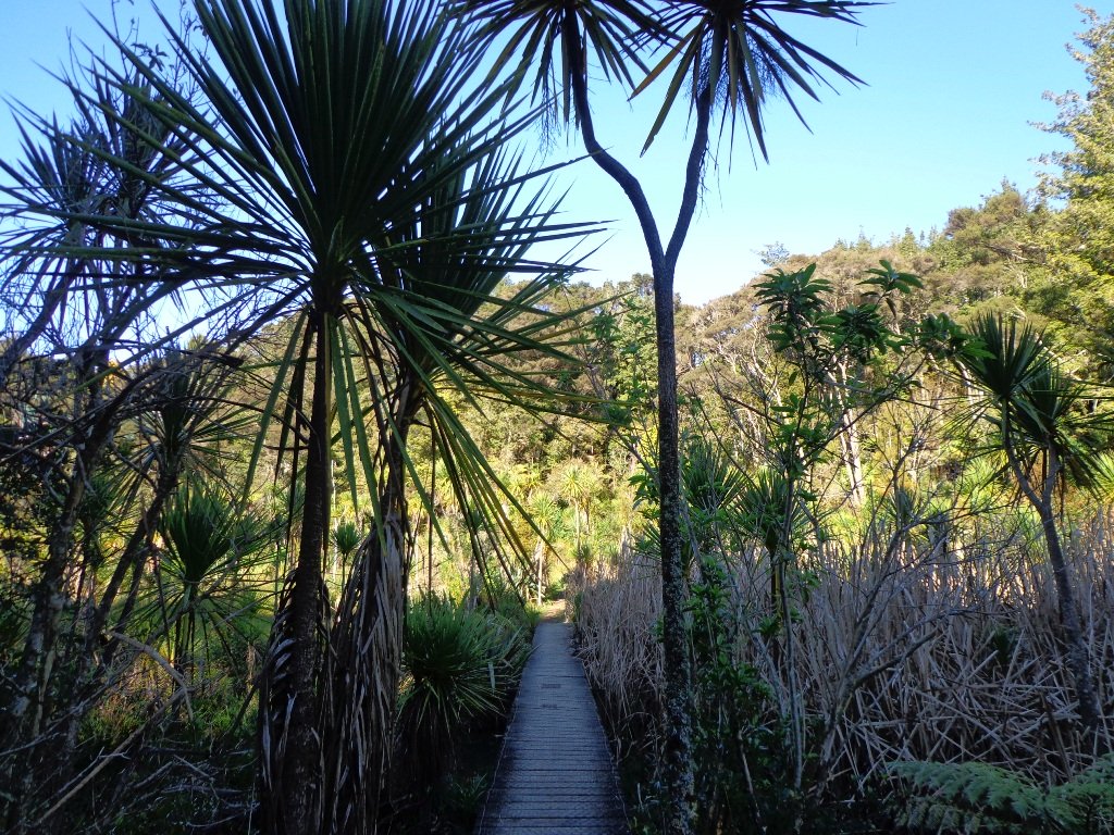
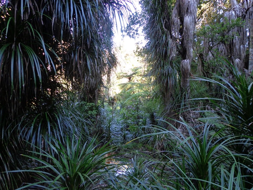
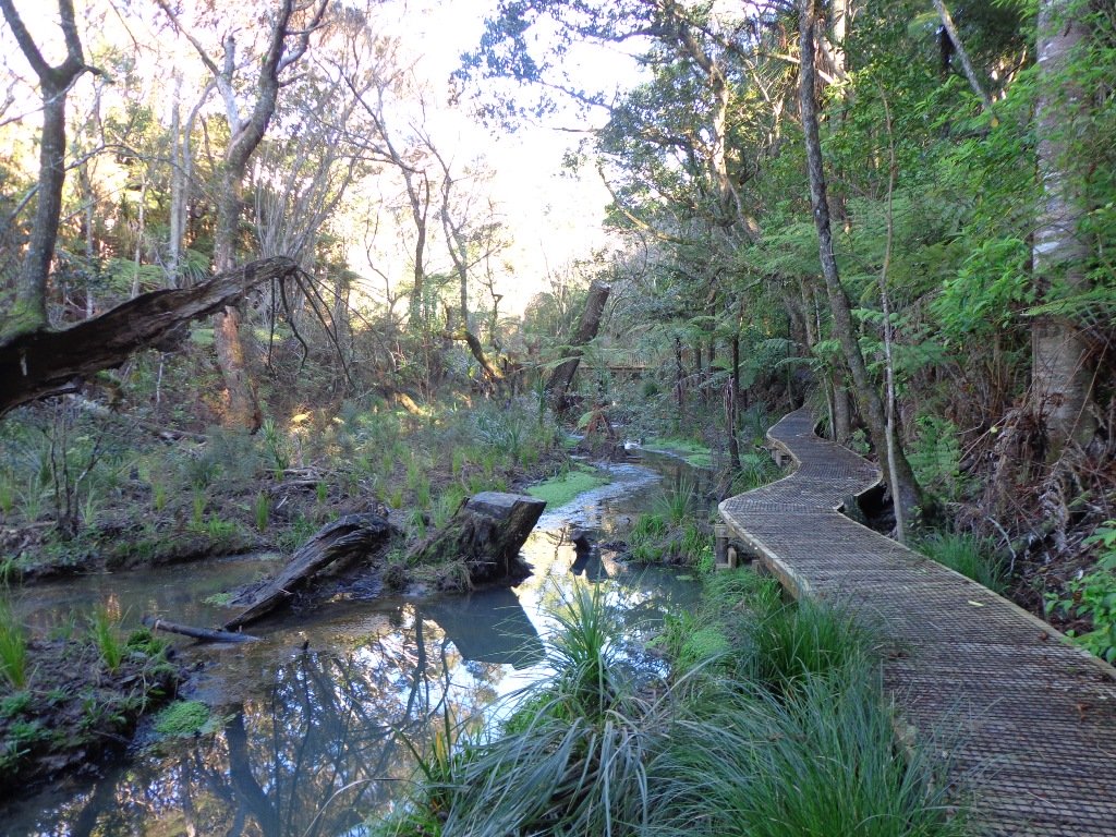
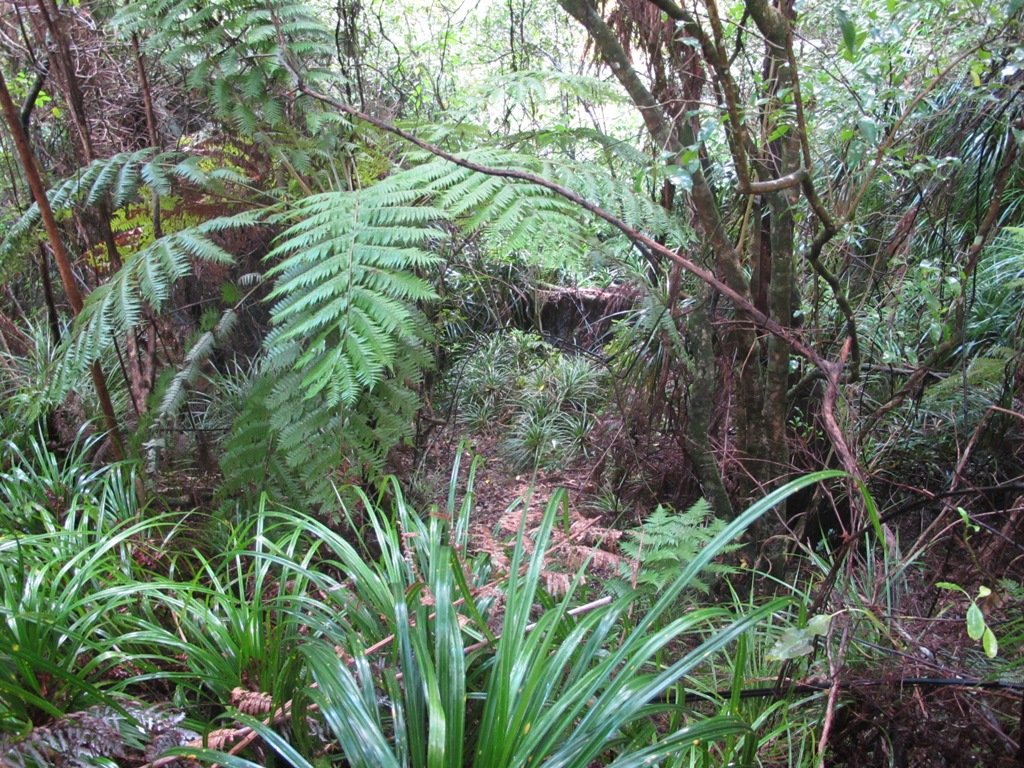
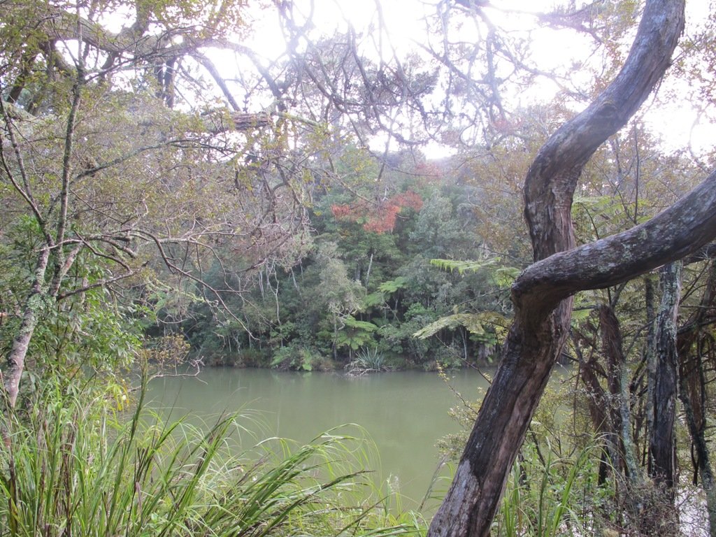
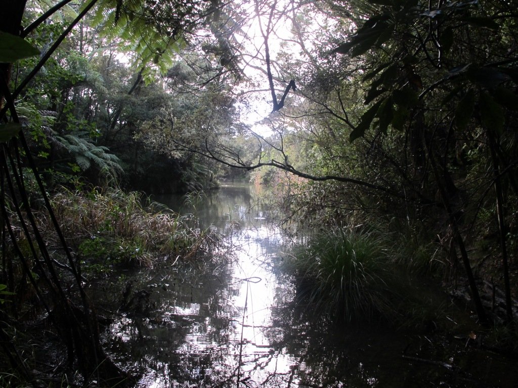
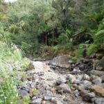
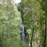
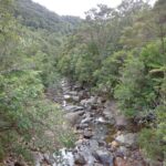
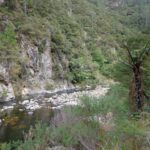
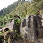
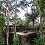
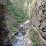
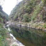
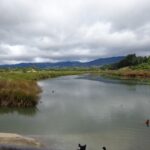
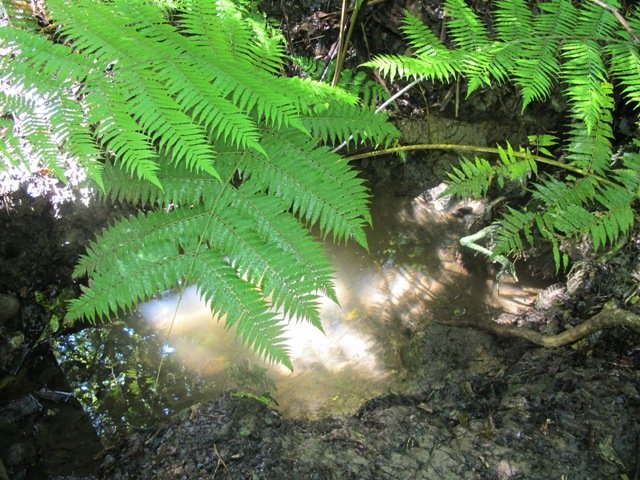
The walk now begins from Westgate Shopping Centre with the option of starting from the Moire Park sports complex off Granville Drive, if preferred. There is a short stretch of street walking, but the majority of the walk is off road with a long stretch through native bush, following the Manutewhau Stream.

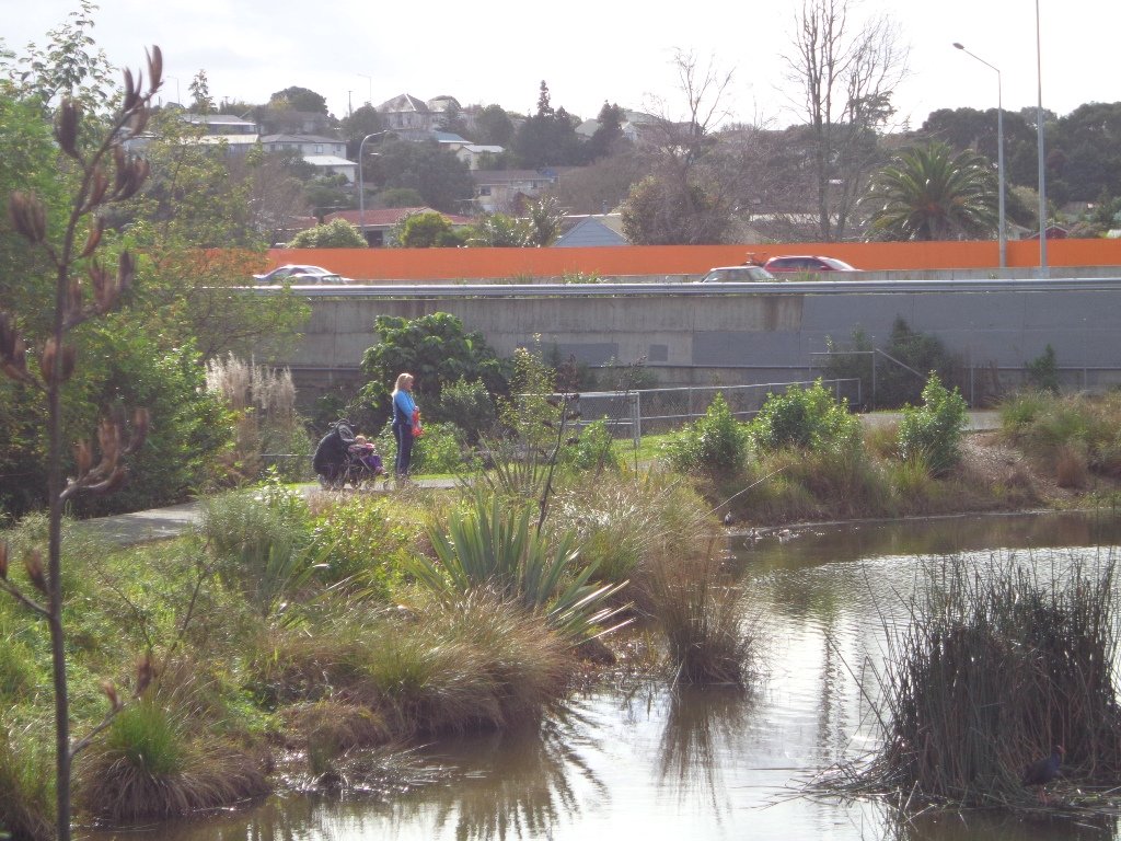
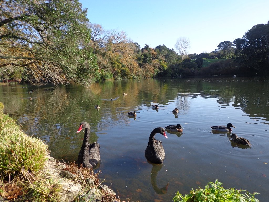
There is a collection of children’s playgrounds (some with flying fox) that could provide a great incentive for doing the walk with children, and if you take some bread, you may wish to feed the ducks in the ponds near Westgate.
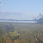
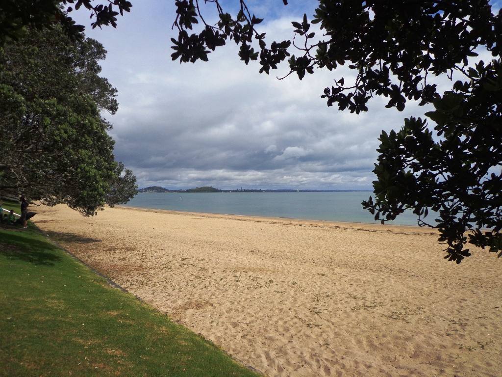
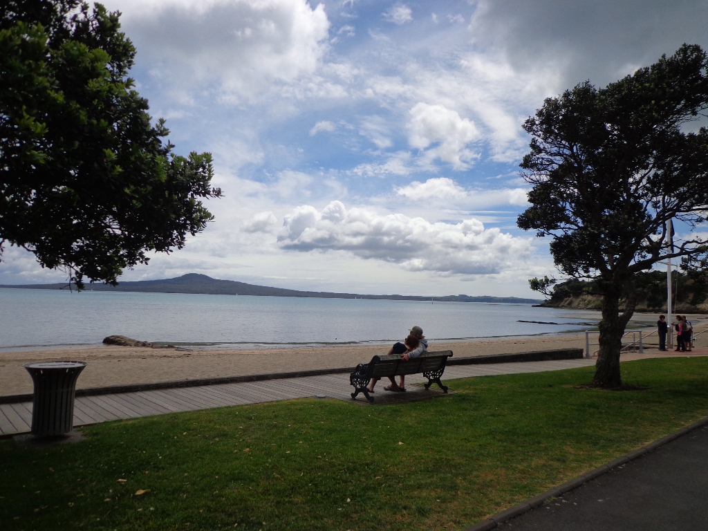
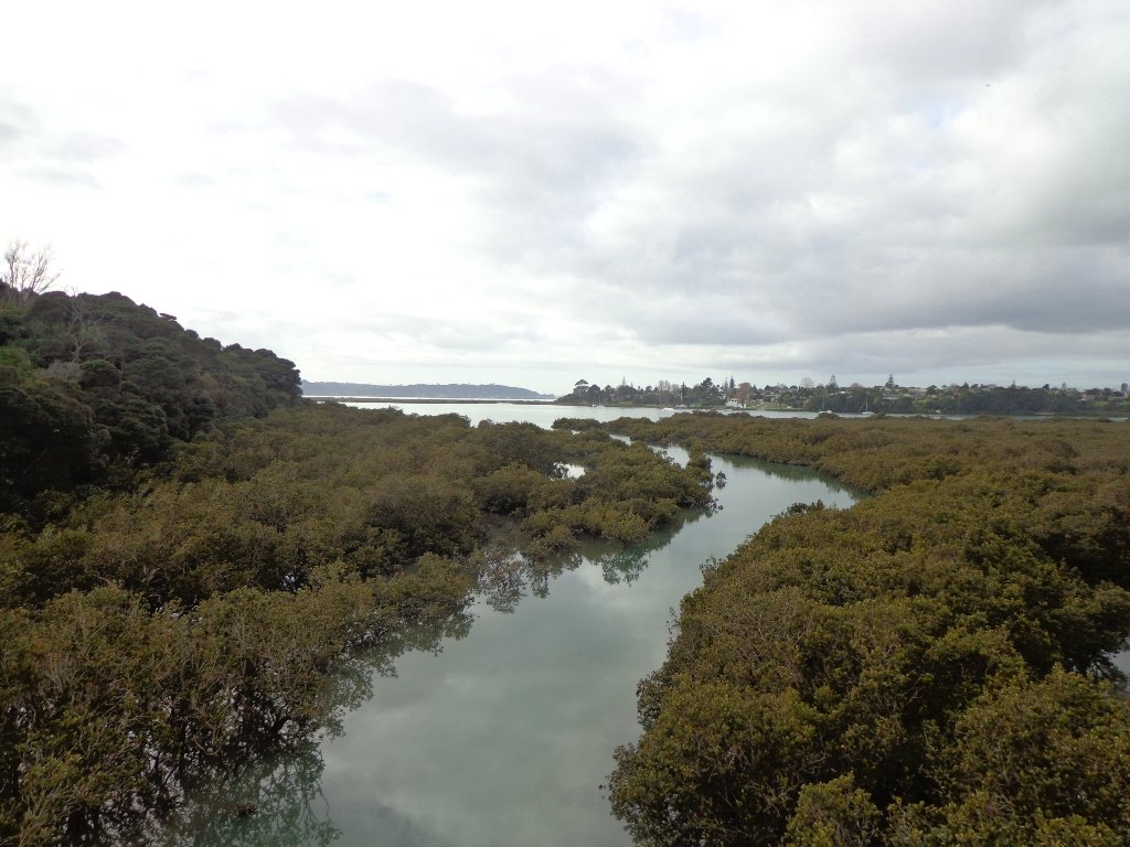
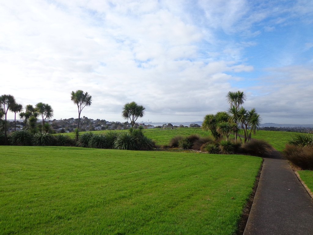
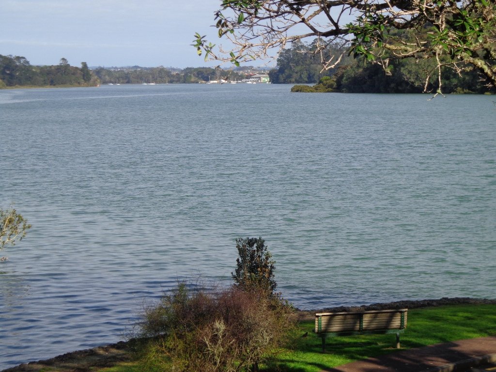
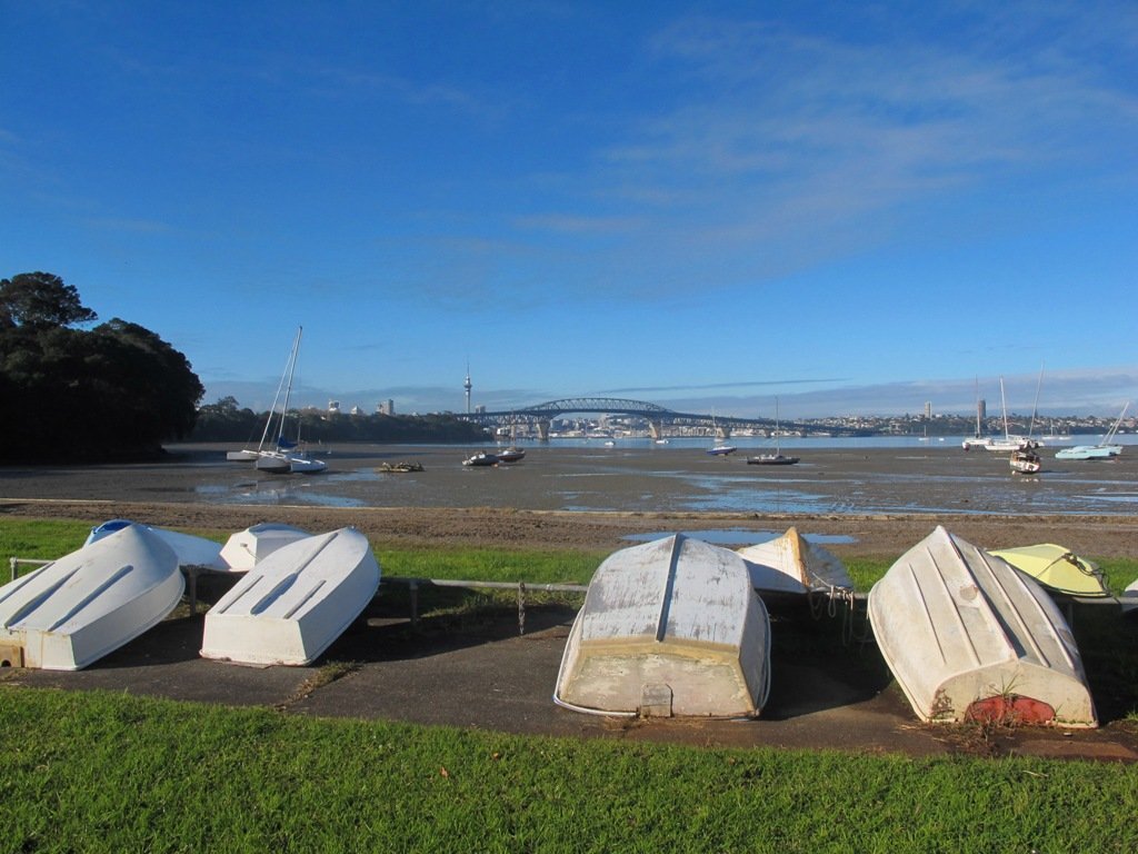
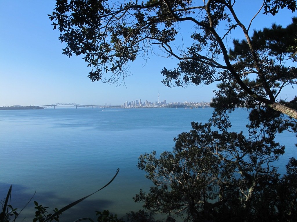
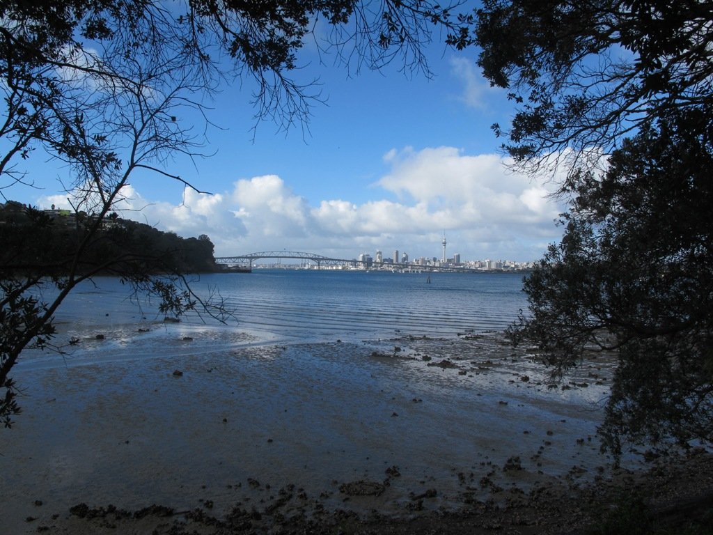
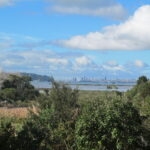
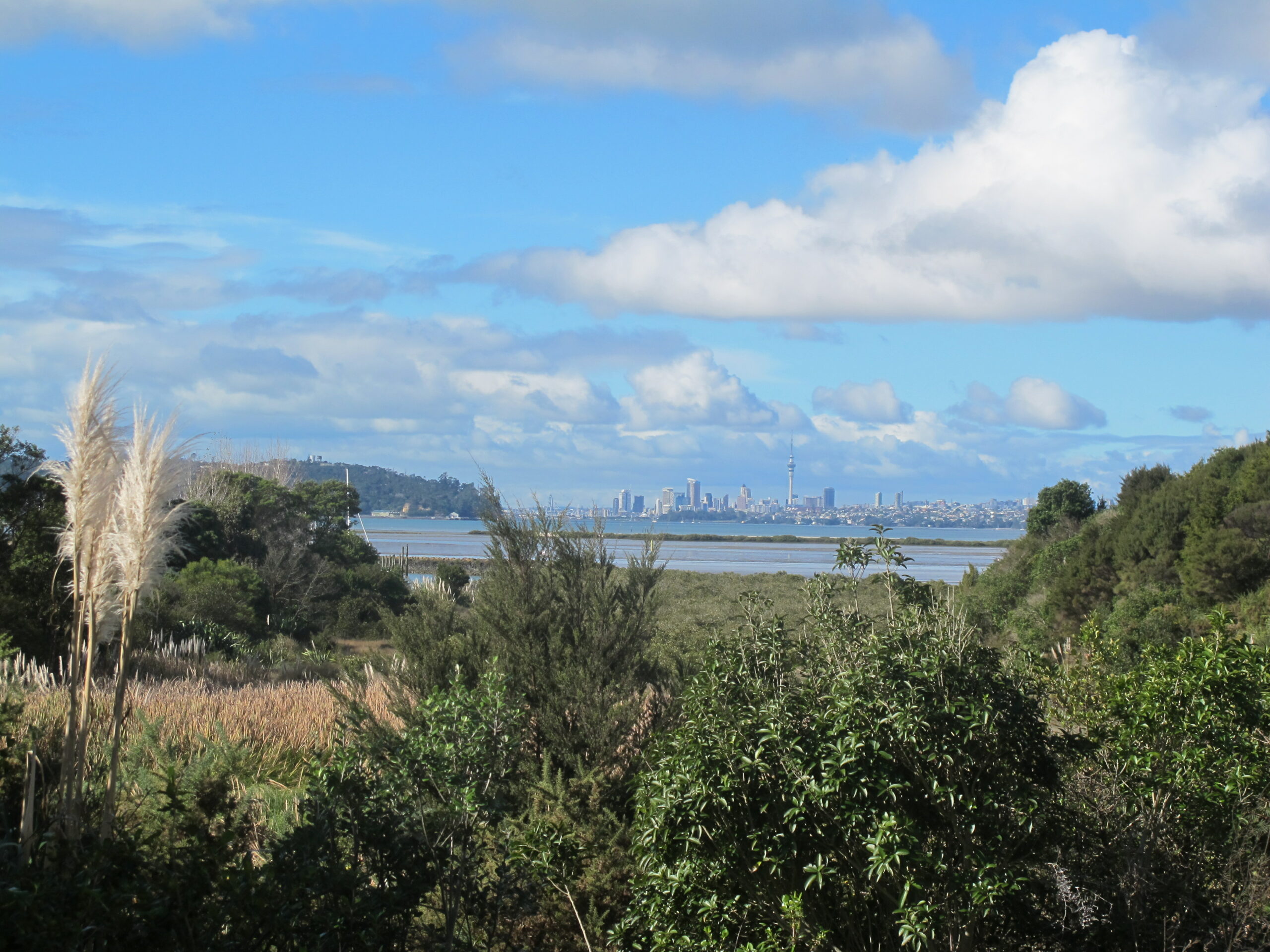
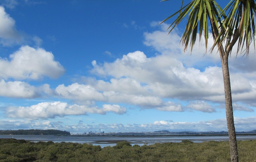
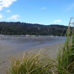
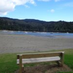
The view from top of Flaunty Reserve across Auckland Harbour to the city can be breath-taking.
Description: A mix of level paths and steep paths. Suitable for users of average fitness and mobility. May require boots in wet weather, running shoes suitable in dry weather. Muddy tracks after rain.
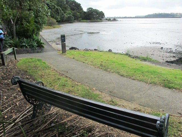
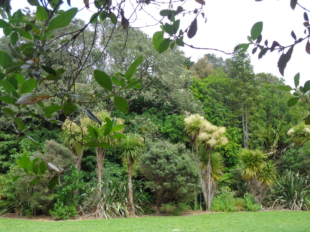
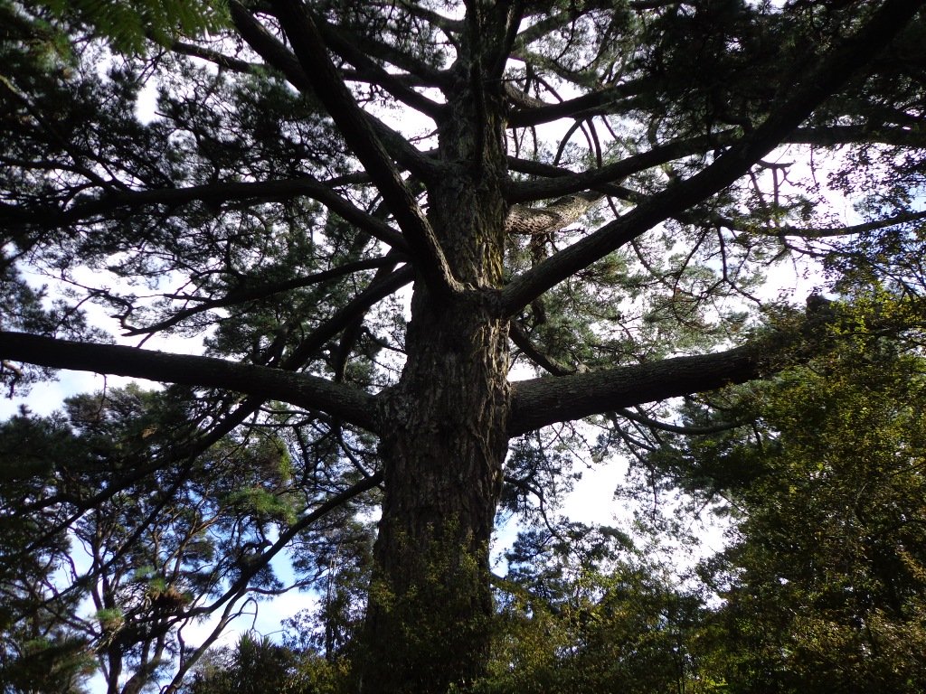
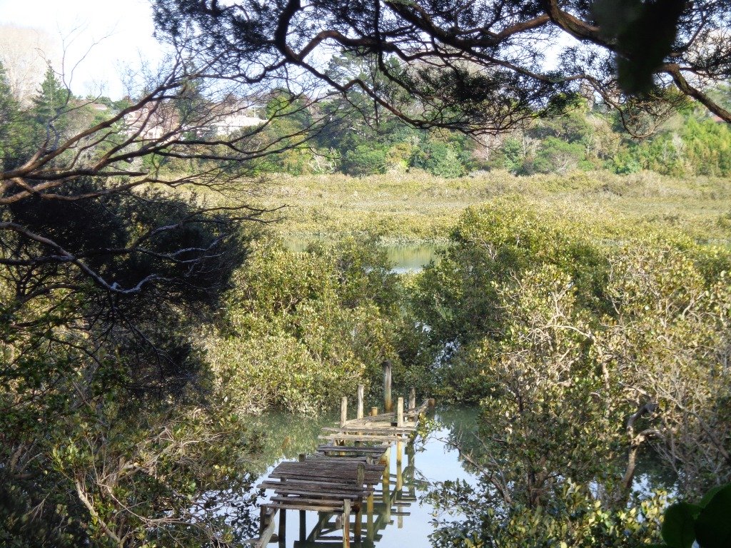
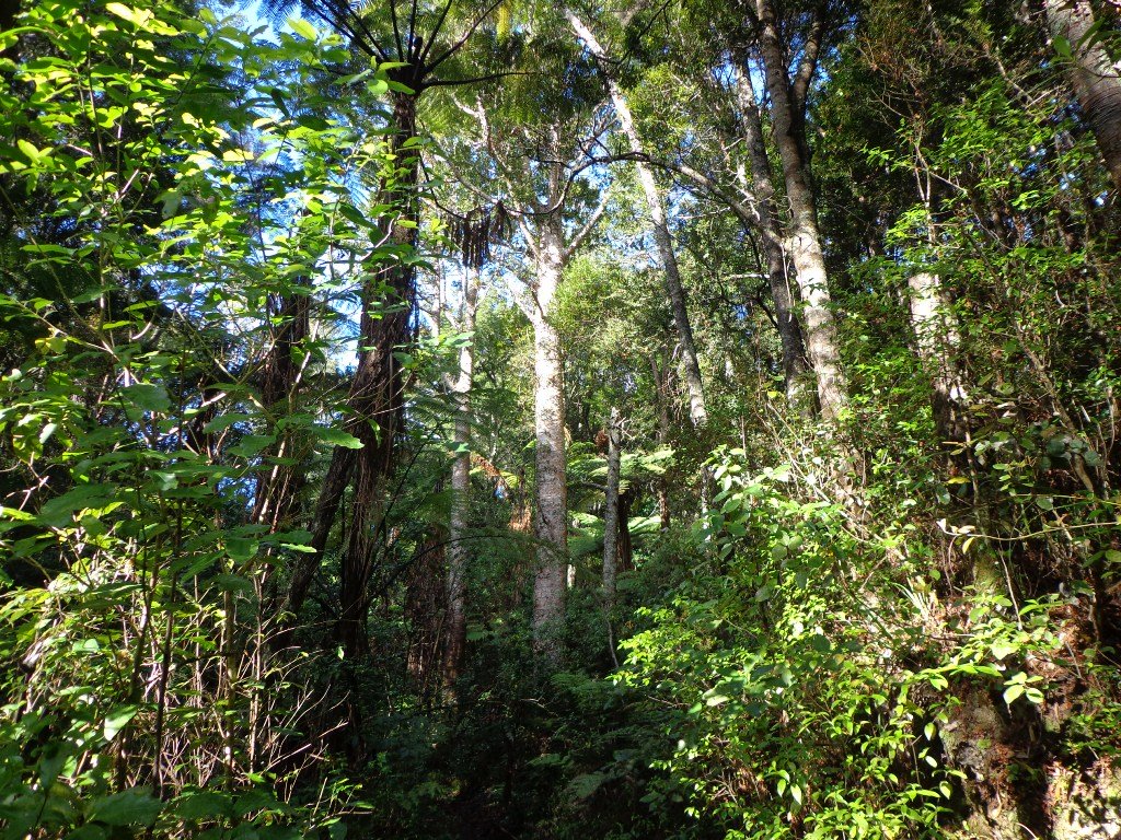
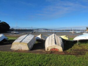
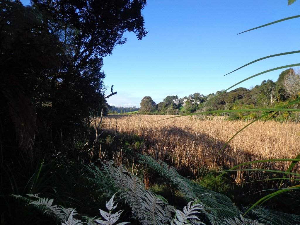
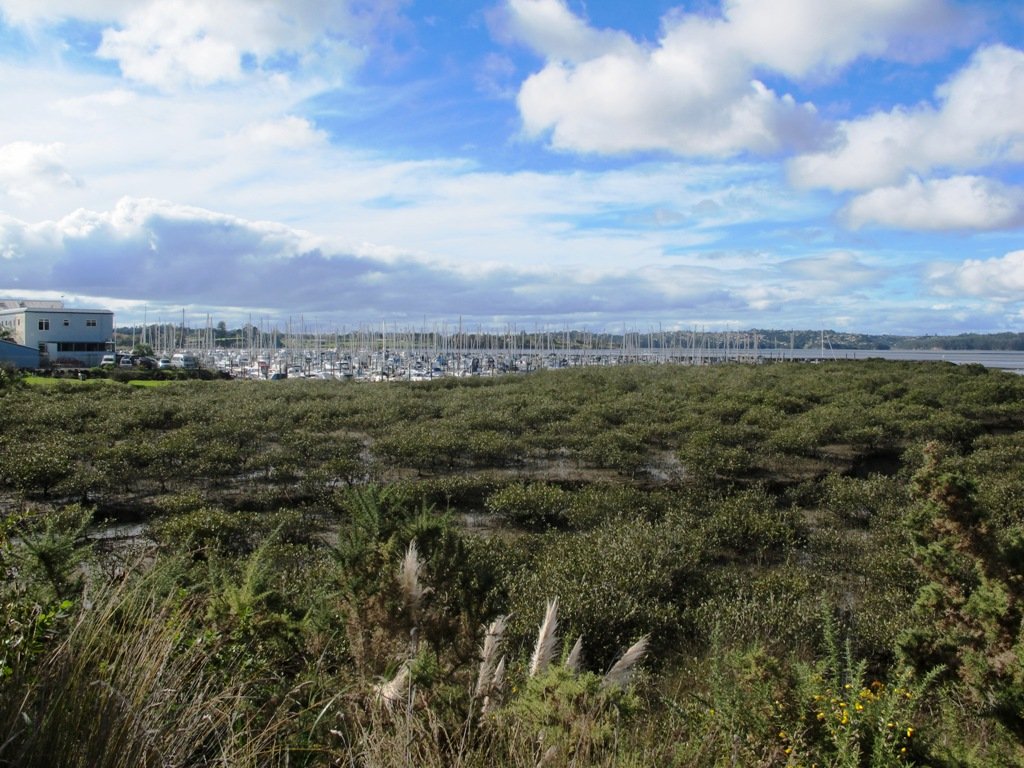
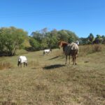
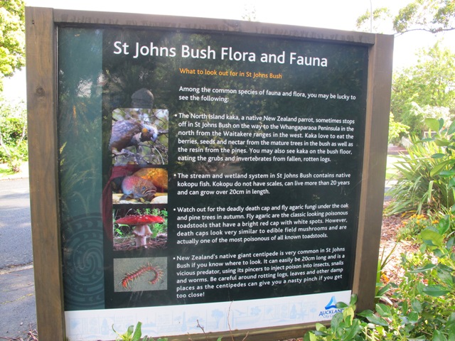
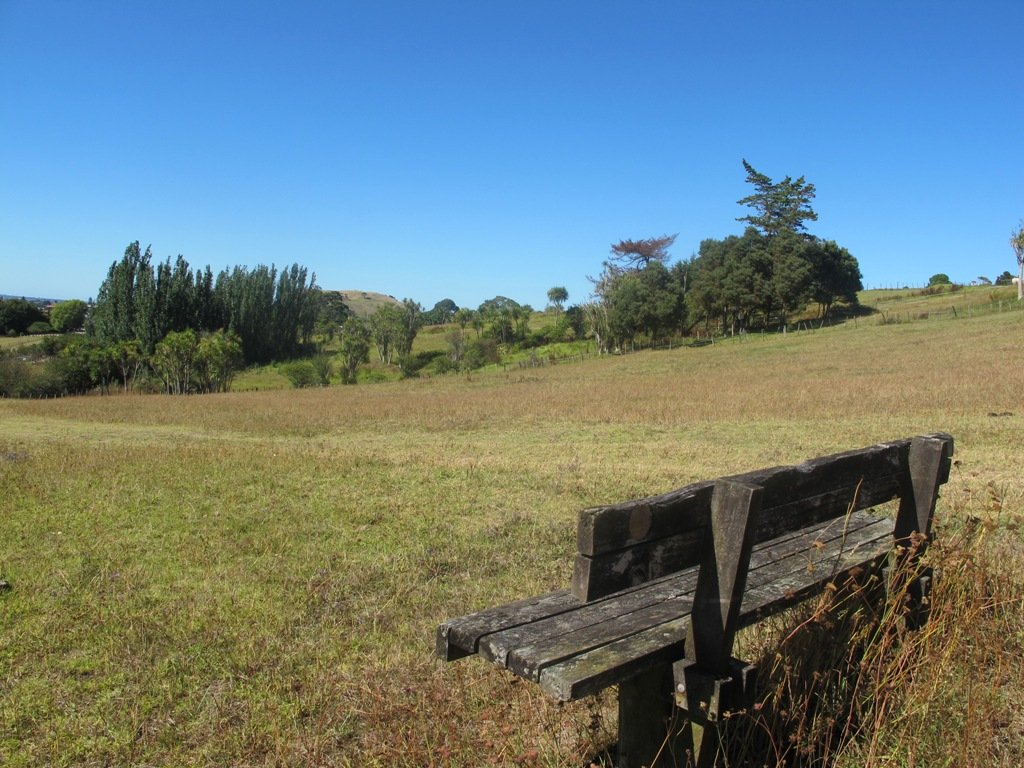
To see: Auckland City views, Waitakere Hills view, views of Te Atatu Peninsula, native trees and fauna, urban development. Childrens playgrounds. Dog friendly off leash areas.
Time: approx. 75 minutes. (about 6 kms)
Parking: Westgate Shopping Centre.
Buses: Westgate Shopping Centre MAP

Stay on track…get your detailed guide and map (AW-031 Moire Park Bush Walk) over at our Walks Store and our Book Store (one of 12 walks featured in our books “Urban Bush” and “Dog Friendly Walks part 1” and “Best of the West“).


 Mount Eden Loop

 Newmarket Loop
 Parnell Loop


 The Mangemangeroa Reserve track was a totally new discovery for us today. I was aware of it’s existence (and my awareness was raised further by my friend Isabel).