Today I was shown an interesting waterway – Meola Creek. It is hidden between the St Lukes shopping hub and Mt Albert Grammar School. Meola Creek is the result of run-off from Mt Albert, Mt Eden and Three Kings and runs over and under ground (in pipes) out to Waitemata Harbour at Meola Reef.

The St Lukes Environmental Protection Society (STEPS) has been very active getting Meola Creek clean, the area planted with natural habitat and a boardwalk built (Roy Clements Treeway). Elizabeth Walker, a member of STEPS very kindly showed me around. This historic map clearly shows Meola Creek. Elizabeth has since shown me one of the sources of Meola Creek – an overgrown area covered in toxic weeds, behind Haverstock Road. It would be wonderful to see the area restored to allow more water fowl to live there.
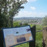
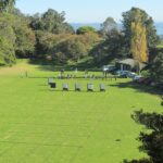
The view from Mt Albert across to the city skyline and the top of Rangitoto Island shows how spread out the city of Auckland is. There is an off leash dog area in Kerr-Taylor Park and a fenced off-leash area at the top of Mt Albert. (See other Dog Friendly Walks)
HISTORY. Nearby is the historic mansion ‘Alberton‘ on the corner of Kerr-Taylor Avenue and Mt Albert Road. Further historical information can be found in the archives of the Mt Albert Historical Society here and here. ‘In old Mt Albert’ by Dick Scott (this book is available from Auckland Libraries) tells the history of Mt Albert from 1911 to 1961. You may wish to download the Mount Albert Heritage Walks brochure.
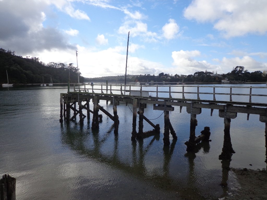
To see where Meola Creek spills out into Waitemata Harbour head to: Western Springs and Meola Reef
Description: A mix of level paths and steep paths/steps. Suitable for users of average fitness and mobility. May require boots in wet weather, running shoes suitable in dry weather. Caution: Muddy and slippery when wet.
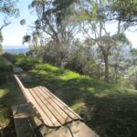
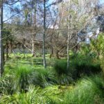
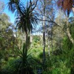
To see: Volcano crater, boardwalk and water birds, reclaimed creek vegetation, Auckland City views, Waitemata Harbour views, glimpses of Manukau Harbour and the Waitakere Hills.
Off leash dog areas. Children’s playground.
Time: approx. 60-75 minutes, about 5.4 kms. MAP
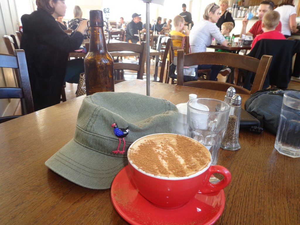
Suggested cafes: Pyrenees French Delicatessen and Parkside Cafe
Stay on track…get your detailed guide and map over at our Walks Store (AC023 Mt Albert Meola Creek) and our Book Store (Volcanoes).


Mt Albert is featured in our book “Volcanoes”. Available from Amazon– Short Walks in Auckland: Volcanoes (and on Kindle)