Tag Archives: Boat Ramp

Bayview Giant Kauri Walk

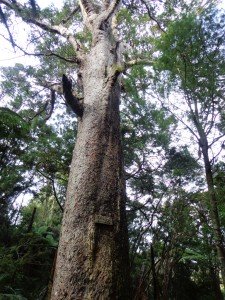
***** ATTENTION Kauri Dieback has been identified on Auckland’s North Shore. Auckland Council will look to close tracks soon. As this Kauri tree in Lynn Reserve is the largest Kauri on the North Shore, and of significance to our community, you are asked to not visit this track. When walking near any Kauri, your shoes must be so clean you could ‘kiss’ them. Please protect our Kauri. The best way to help is to not walk near them.
Danielle Grant – Deputy Chair Kaipatiki Local Board ****

Bayview Giant Kauri tree © 2011-2013 Unleashed Ventures Limited

We returned to Bayview on the North Shore to complete a circular walk in a different direction to our previous Bayview Coast and Bush Walk.

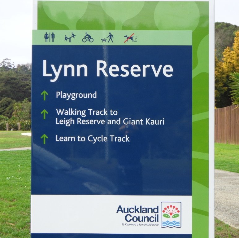
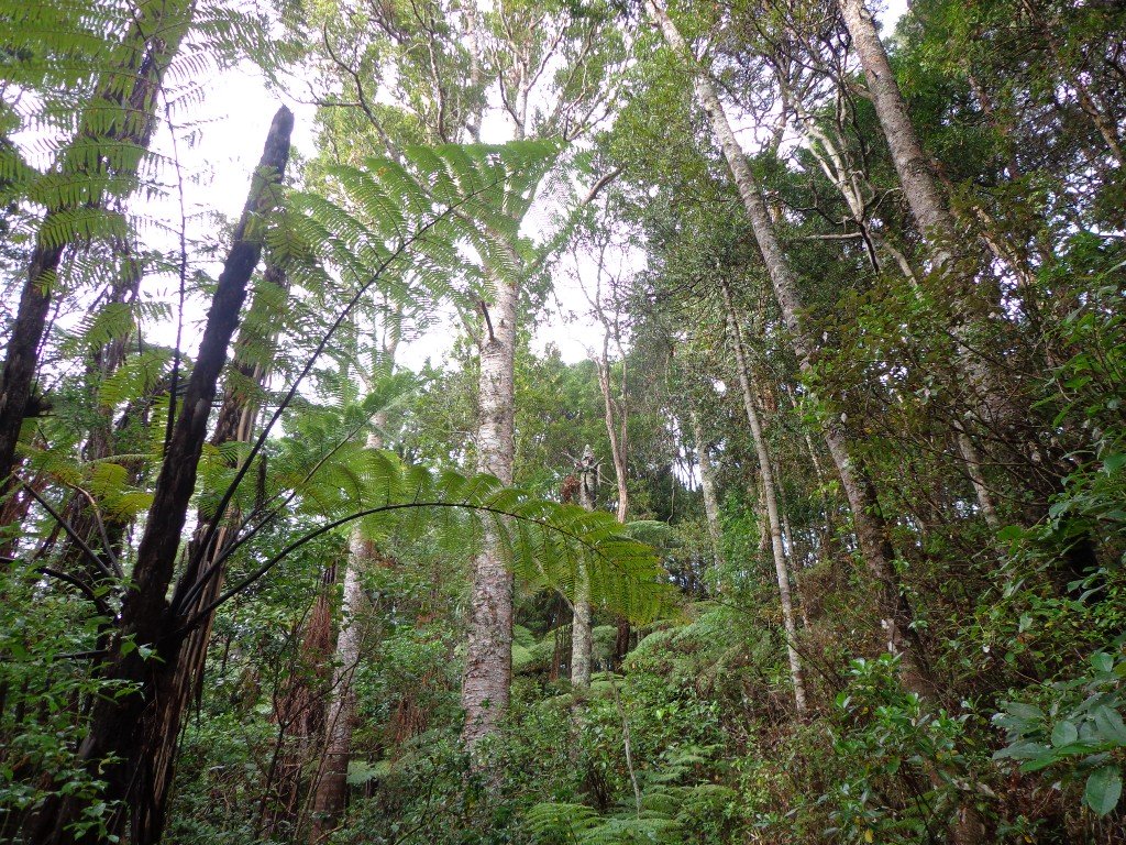
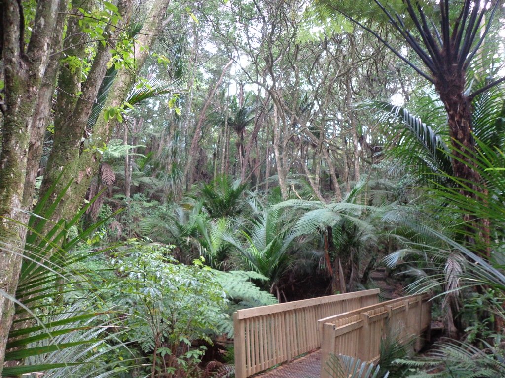
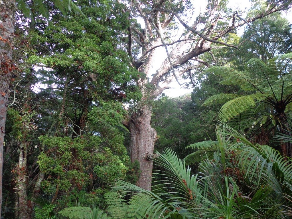
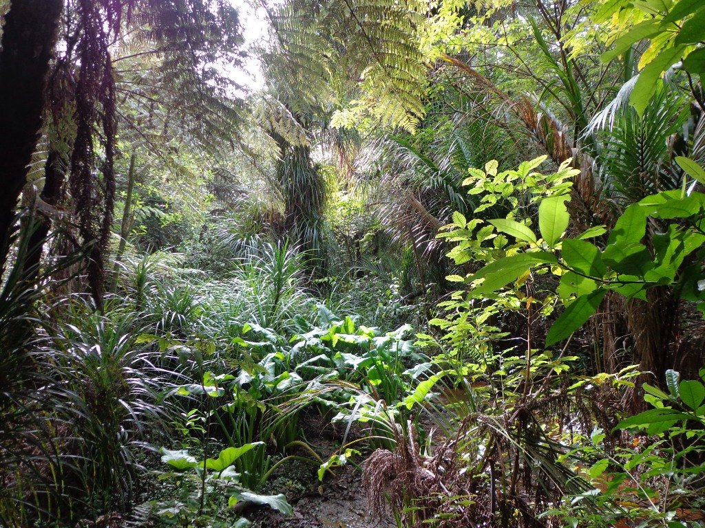
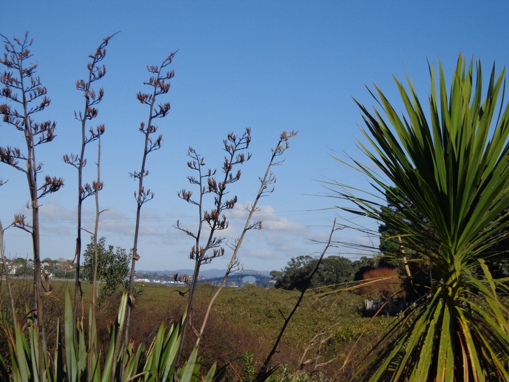
Today’s walk starts off in Lynn Reserve, and heads up a bush filled gully with a small stream, to a giant Kauri tree (over 2 metres in diameter and is said to be about 800 years old) among a grove of smaller kauri trees which are growing in Leigh Scenic Reserve.  It is awesome!

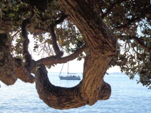
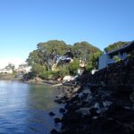
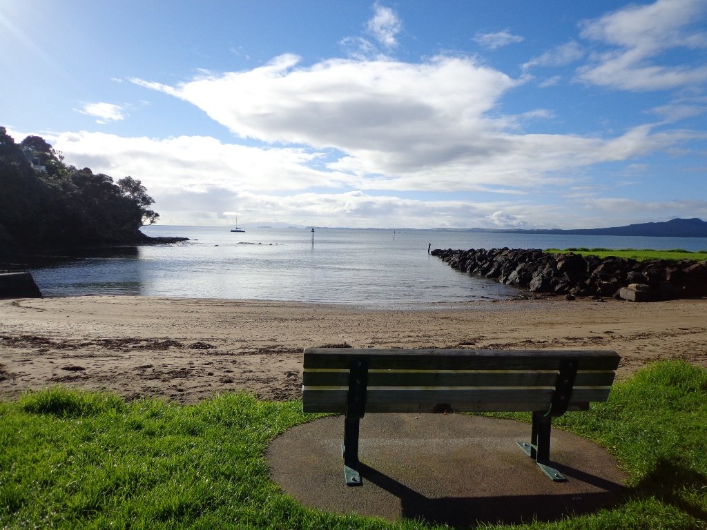
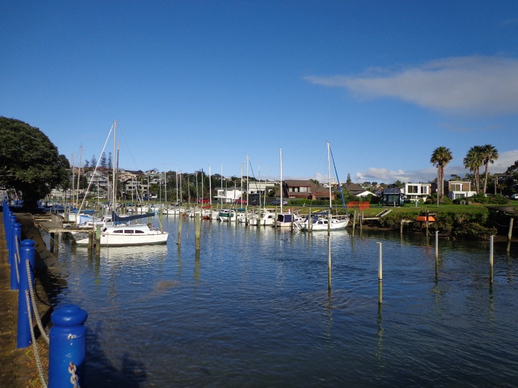
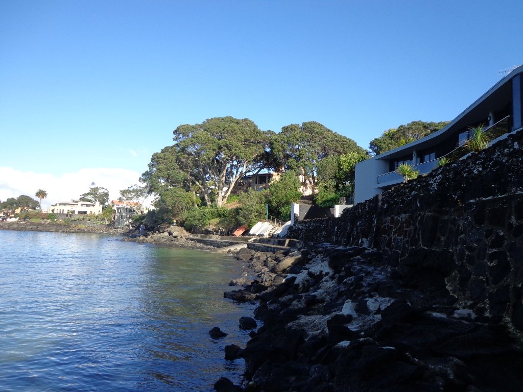
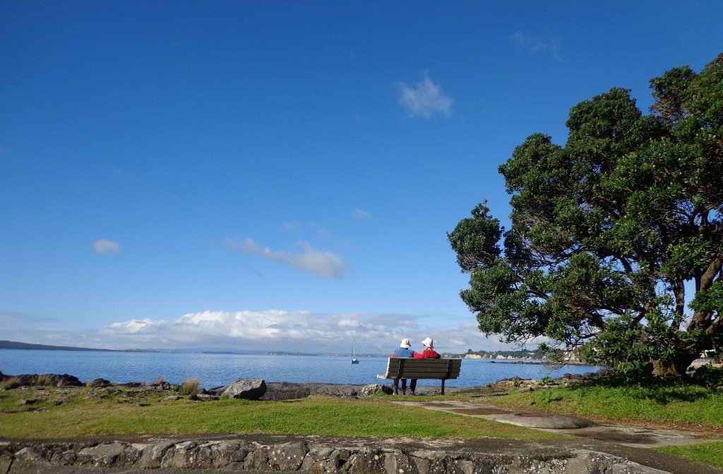
The route joins up with the Glenfield Coastal Walkway and heads around to the boat ramp and Manuka Reserve at the bottom of Manuka Road.  Hearing the song of the tui birds as we slowly walked up the incline of Manuka Road gave us great encouragement.

This walk through the bush and along the Upper Harbour coastline is not only beautiful, it provides a great workout if you are into fitness. It is also a fun family walk that includes two children’s playgrounds, plus dog off leash exercise areas.

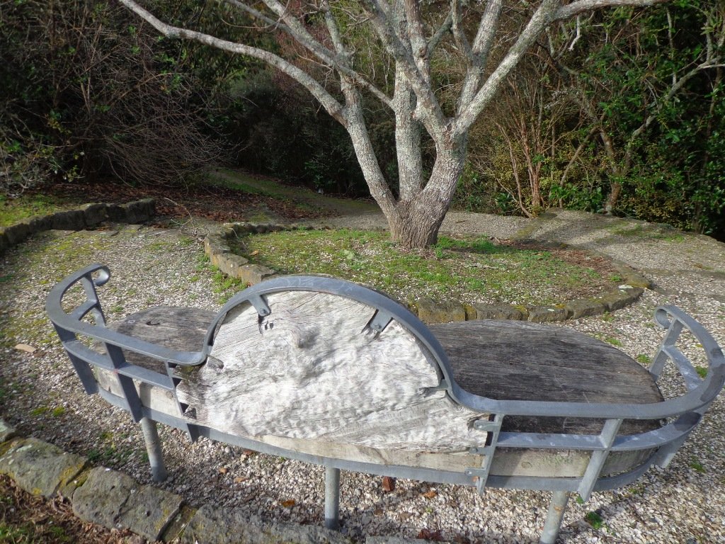
The new playground at Lynn Reserve looks great, and in the week since we last visited, a children’s ‘learn to cycle track‘ has been installed.

***Please note: September 2018 This track has been temporarily closed due to Kauri Dieback

Description: Bush track, steps, inclines and board walks. Muddy in places when wet. Suitable for users of average fitness and mobility.
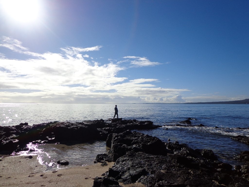
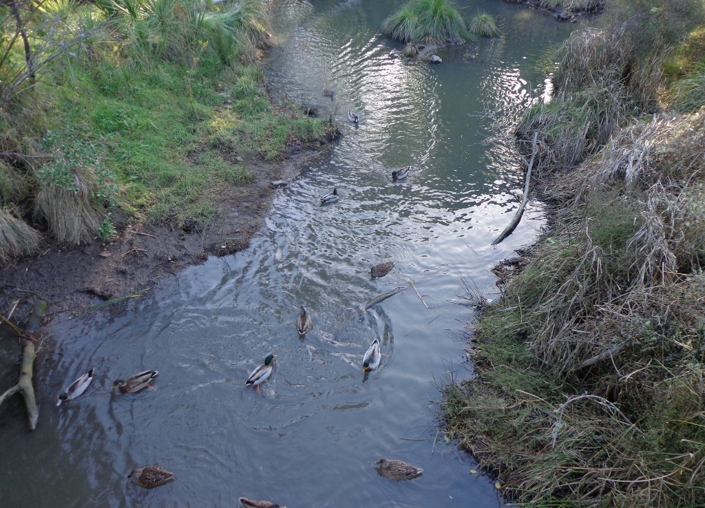
To see: Native bush, including Giant Kauri, small waterfalls, views across Auckland Harbour to Hobsonville Point, native birds.
Time: approx. 75 minutes. (about 5.8 kms). Dog off leash areas. Three children’s playgrounds.
Parking: Lynn Road, Bayview near Glenfield.
Buses: 111 Lynn Road, Bayview MAP

Takapuna to Milford Loop Walk

Copyright 2011-2013 Unleashed Ventures Limited

Many walkers on Auckland’s North Shore will be familiar with this route.  We start  off from the boat ramp at Takapuna, head along the shore line over sand, rocks and narrow pathways; past beautiful houses that overlook the Hauraki Gulf and Rangitoto Island to Milford, where we head inland along the marina before returning to Takapuna.

This walk suits sure-footed folk, and you would want to avoid high tide and stormy seas.

Dogs – Takapuna Beach is an off-leash exercise area 24/7 in winter, but only before 10am and after 6pm during daylight saving.

Description: Partly rocky and narrow seaside pathway. Slippery when wet.  Avoid at high tide and stormy weather. Suitable for users of average fitness and mobility.
To see:  Hauraki Gulf, beaches, marina, residential homes.
Time: approx. 75 minutes. (about 6.22 kms)
Parking: Takapuna Boat Ramp, The Promenade
Buses: Hurstmere Road, Takapuna (MAP)

Stay on track…find this walk’s map and directions guide (AN-077 Takapuna Milford Loop) and other walk self-guides at our Walk Store.

Takapuna Explorer

Our walk around Takapuna on Auckland’s North Shore was in warm winter sunshine.  It was great to see so many people out walking – some with their dogs off-leash on the beach (check out the Council dog rules), making the most of the day.

Takapuna Beach Auckland Copyright Unleashed Ventures Limited 2013

We followed a route documented by Margaret Scrymgeour from her booklet “Explore the Shore”. This walk takes in the sandy shore as well as the mangrove filled estuaries. The walk is quite undulating, so gave us a good workout. The views of Rangitoto are stunning, and we also enjoyed the view to Auckland City, Mount Eden and the Harbour Bridge.

Description: Mix of flat and undulating paths. Suitable for users of average fitness and mobility.
To see: Takapuna Beach, Rangitoto, Mangrove, native birds, ducks
Time: approx. 90-120 minutes. (about 8 kms)
Start: Takapuna Boat Ramp, The Promenade  MAP

Coastal part 2

Stay on track…get your detailed guide and map (AN-075 Takapuna Explorer) over at our Walks Store  and our Book Store (one of 12 walks featured in our book “Coastal part 2”).