Tag Archives: 60 Minutes

Ambury Park Farm Walk

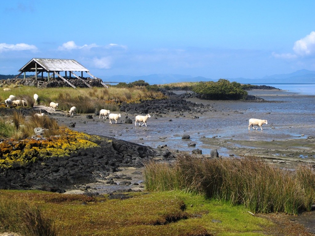
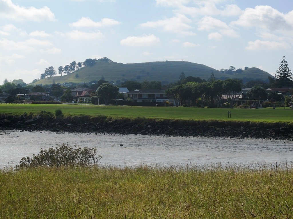
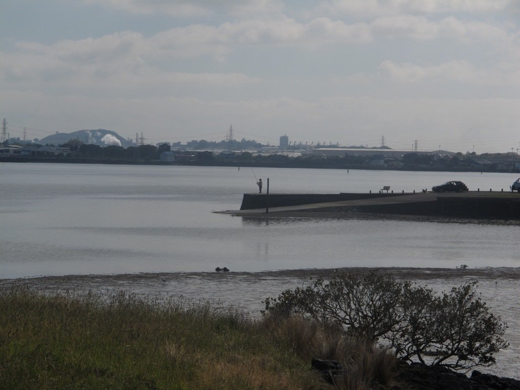
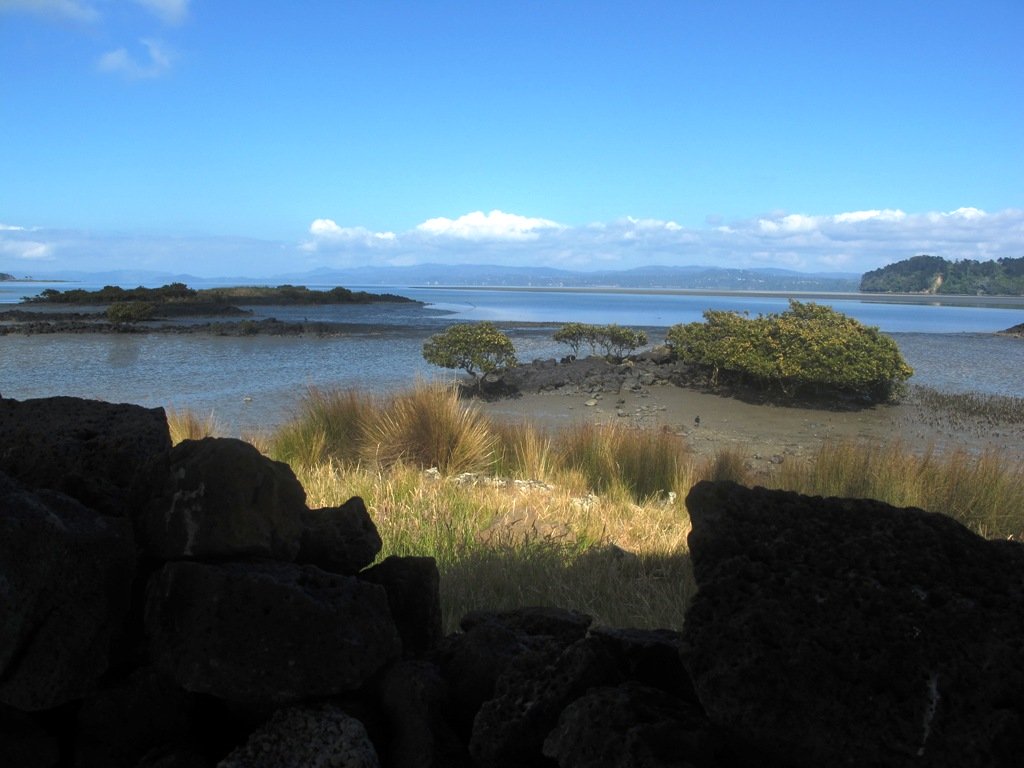
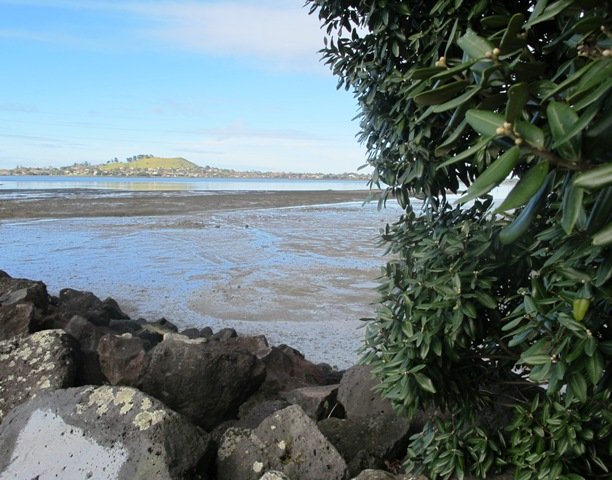
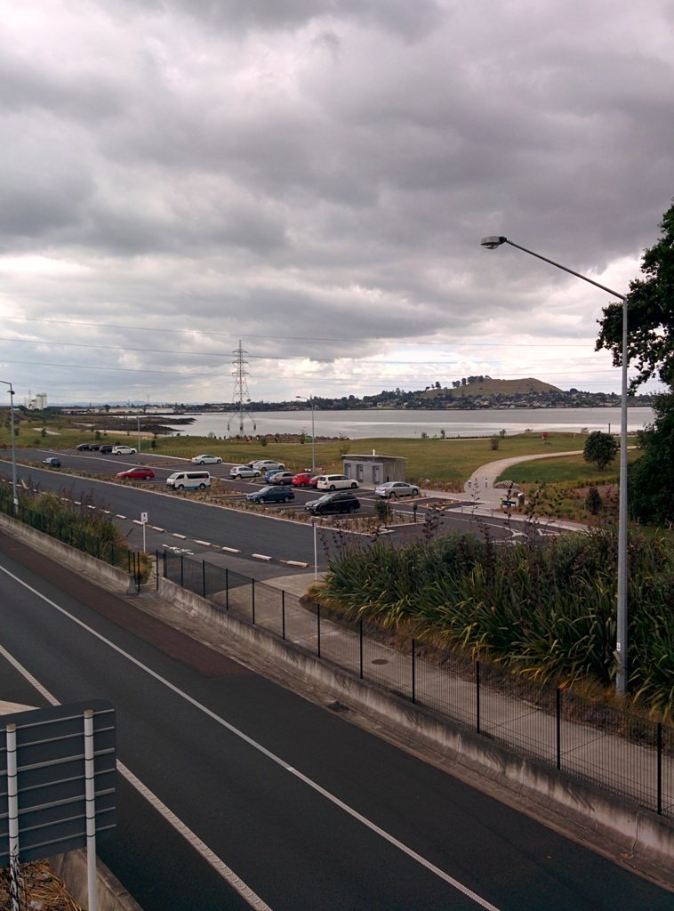
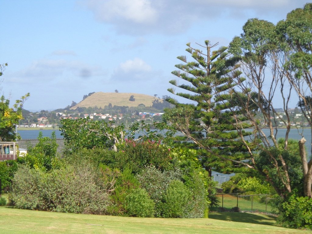
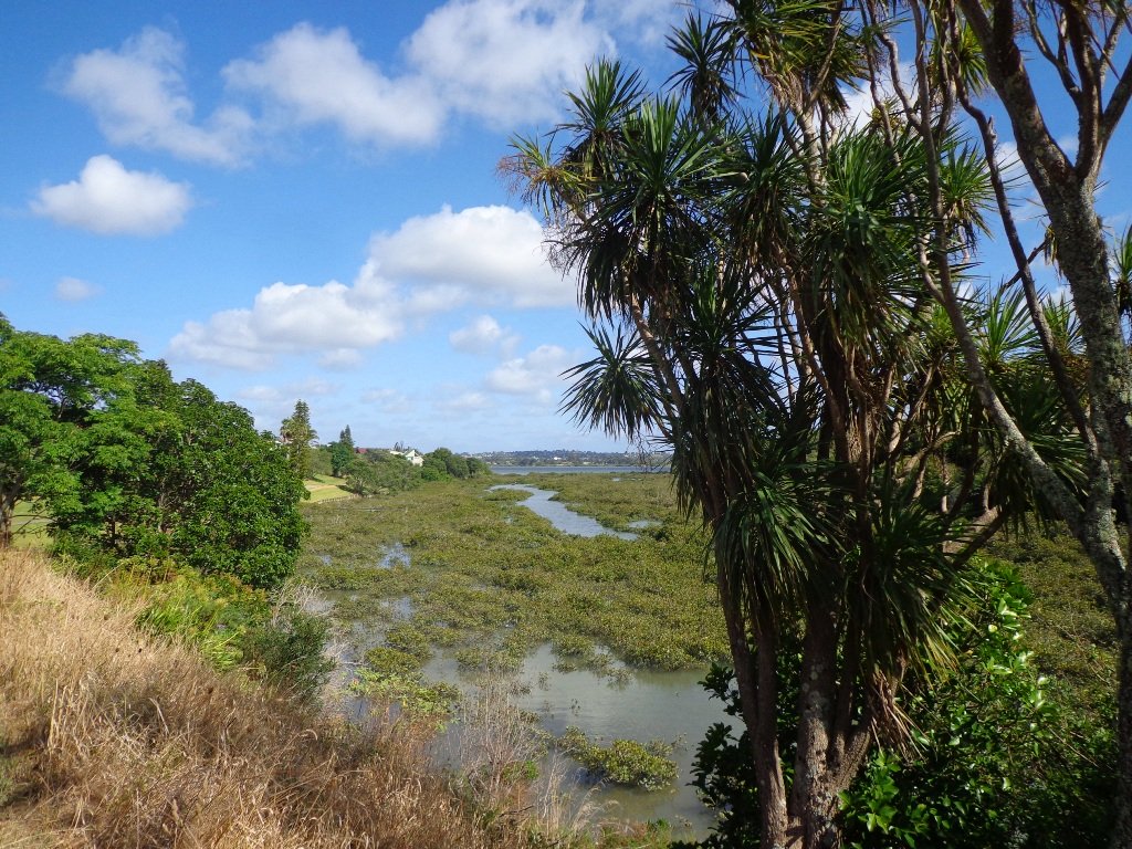
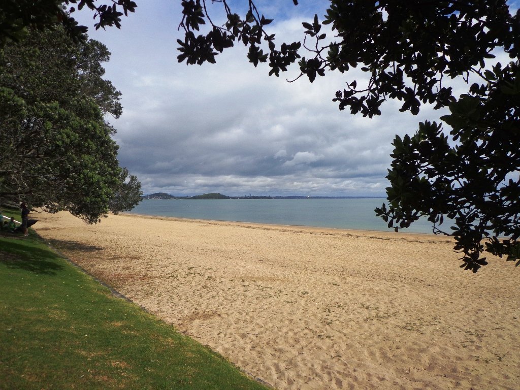
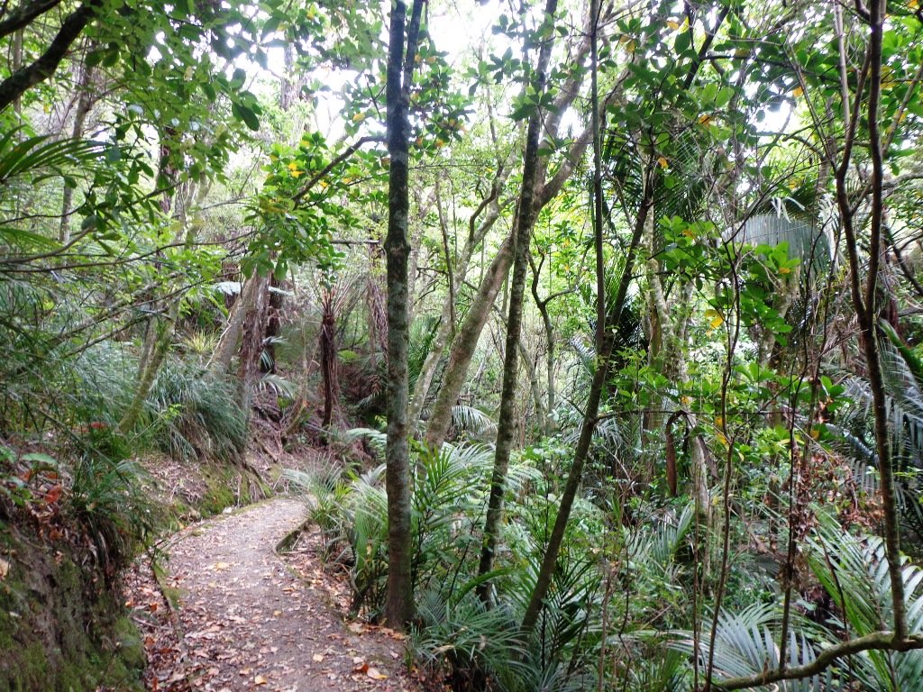
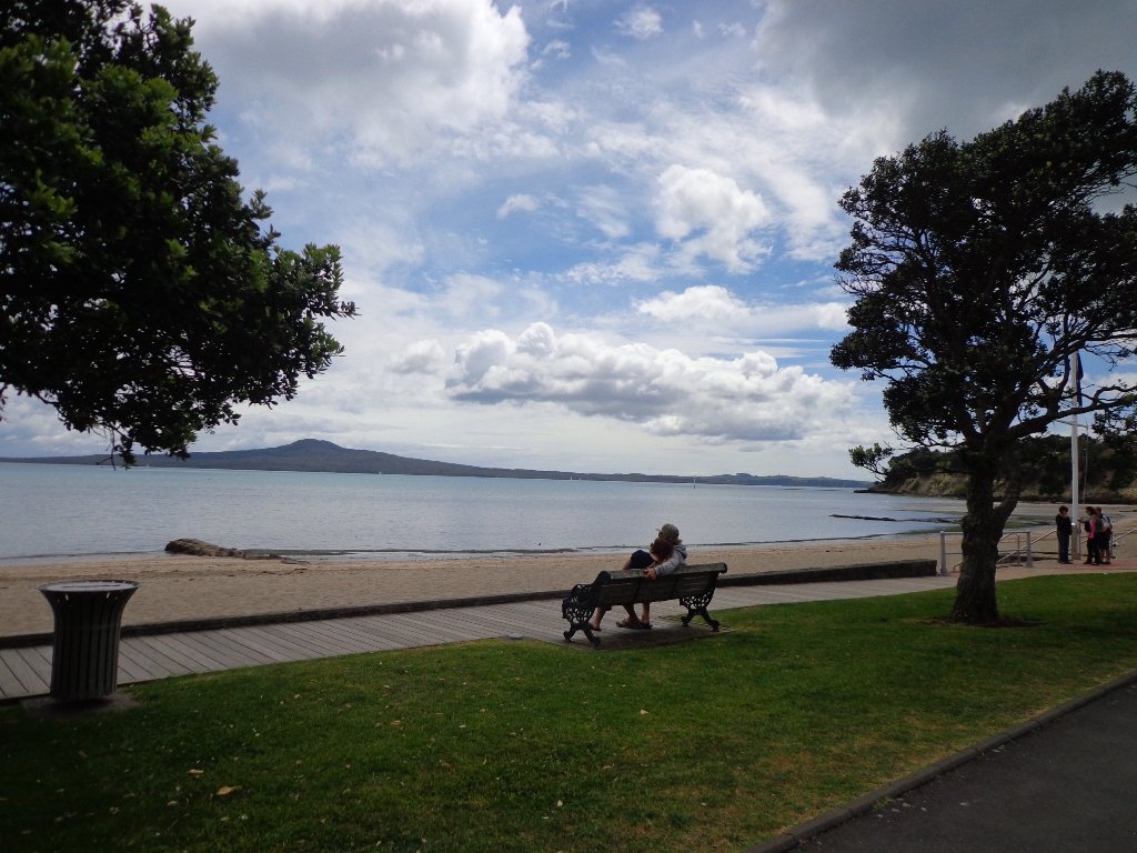
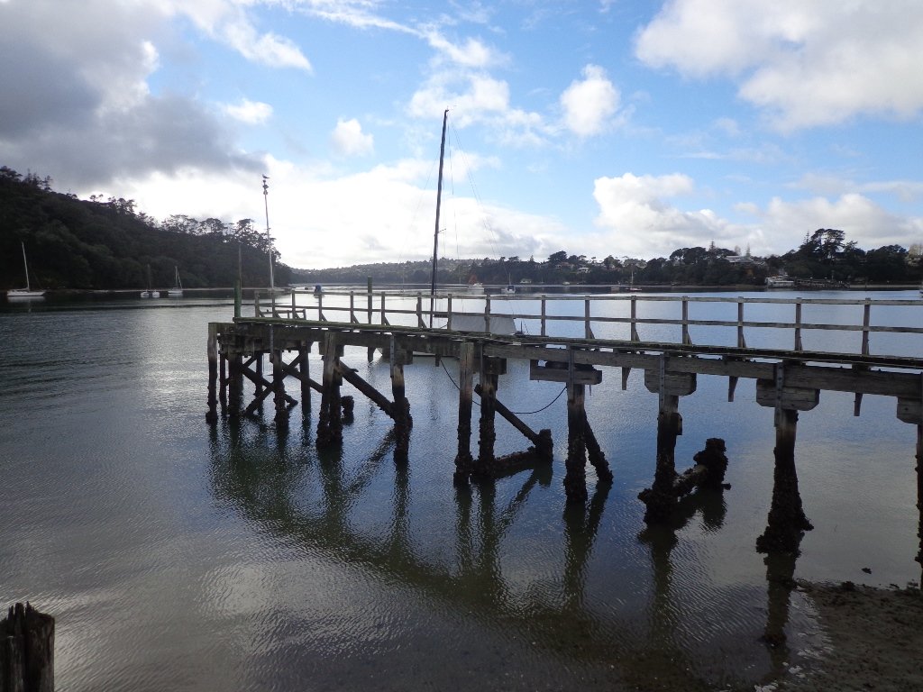
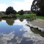
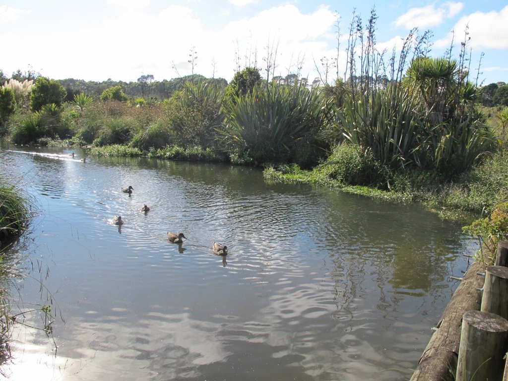
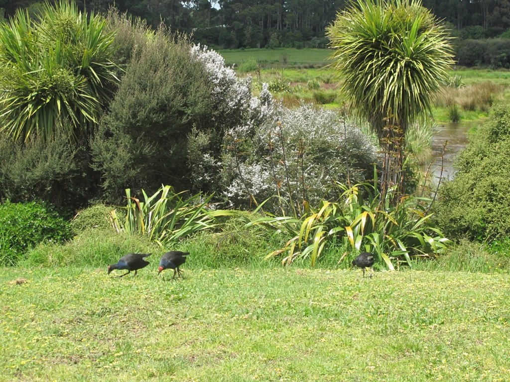
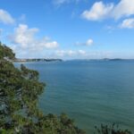
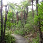
The walk around Ambury Park Farm is a fun, family friendly excursion. Close to Mangere Bridge Village, nestled on the foreshores of Manukau Harbour, with Mangere Mountain as the back drop, it is steeped in volcanic history and it’s intertidal mudflats form a birdwatchers wetland paradise. (We sighted many pukeko running about today).

Ambury Park Farm is named after Stephen Ambury, an English Immigrant who farmed in this area. Mr Ambury produced the first shipment of butter to leave New Zealand for the United Kingdom.

Ambury Park Farm


The farm itself has varied animals that young and old always enjoy. (A friend of mine, Robyn P Murray has written beautifully illustrated children’s books about Roger the Rooster and The Spirit of Cameron including other animals in residence at Ambury Park Farm).

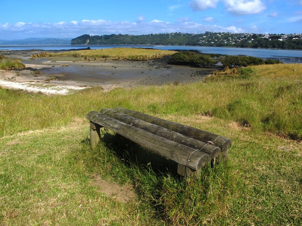
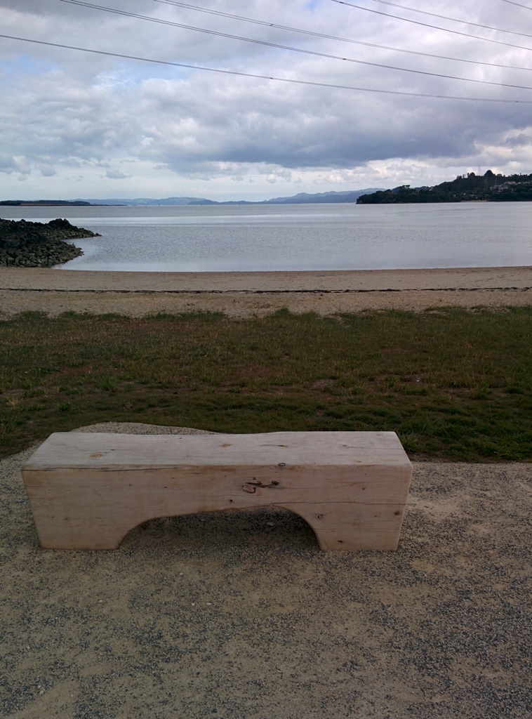
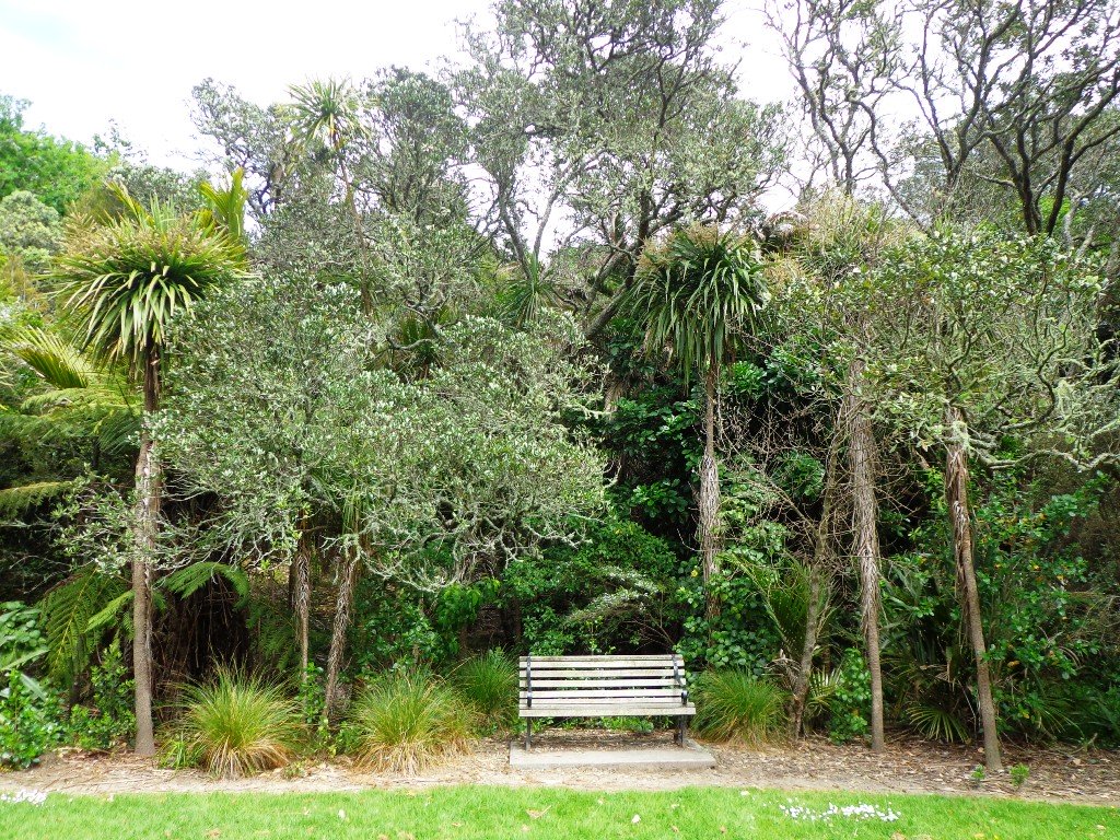
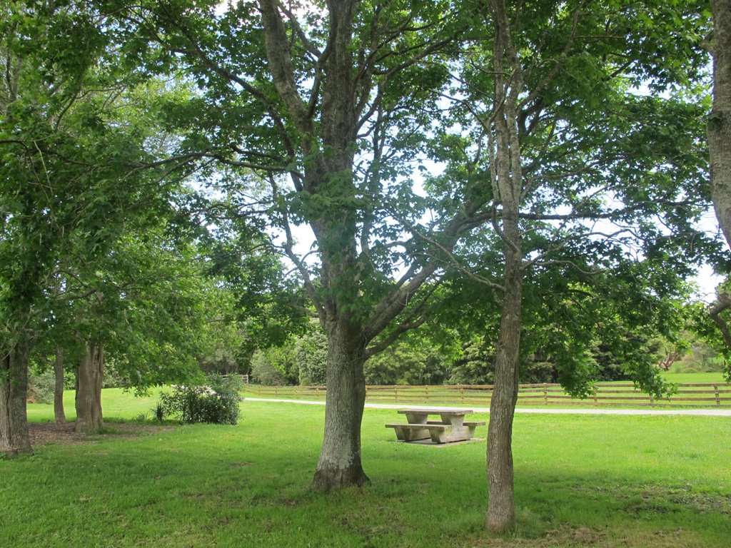
On a hot day, be sure to have hats, sunblock and drinks on hand. There are picnic tables and benches throughout the Park.

The walking route is also suitable for mountain buggies.

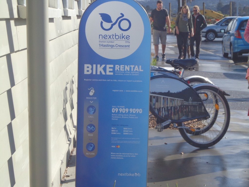
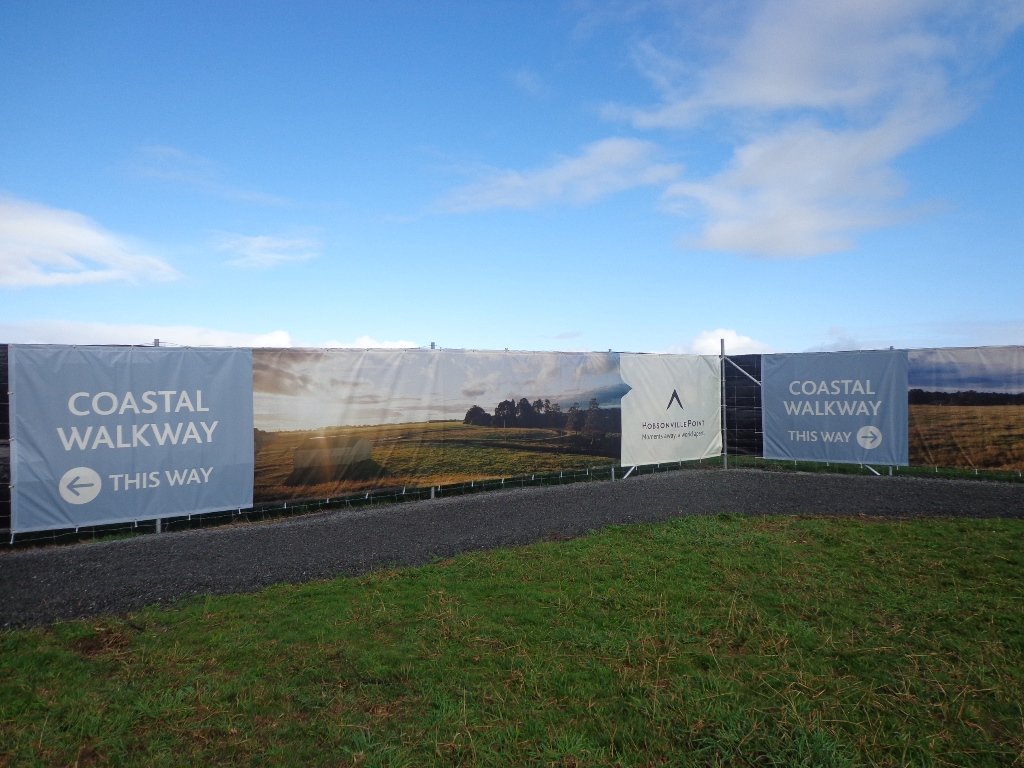
If you enjoy cycling, there is an easy grade 7km mountain bike track (WaterCare Coastal walkway map) which takes you from Ambury Park Farm to Otuataua Stonefields Historic Reserve.

A fun place to take the whole family. Animals to see and pet (feed the new lambs in August), volcanic history, shore birds, picnic spots…You could spend half the day doing the walk and visiting the farm, have lunch in Mangere Bridge Village and then explore Mangere Mountain.

Other Mangere WalksMangere Bridge to Onehunga LoopMangere MountainMangere Esplanade Loop

Nearby places to visit: Watercare Coastal walkwayAmbury Regional ParkVilla Maria Winery and cafeButterfly Creek,  Otuataua Stonefields historic reserve , Mangere Strawberry and Vegetable Farm @ 127 Kirkbride Road.

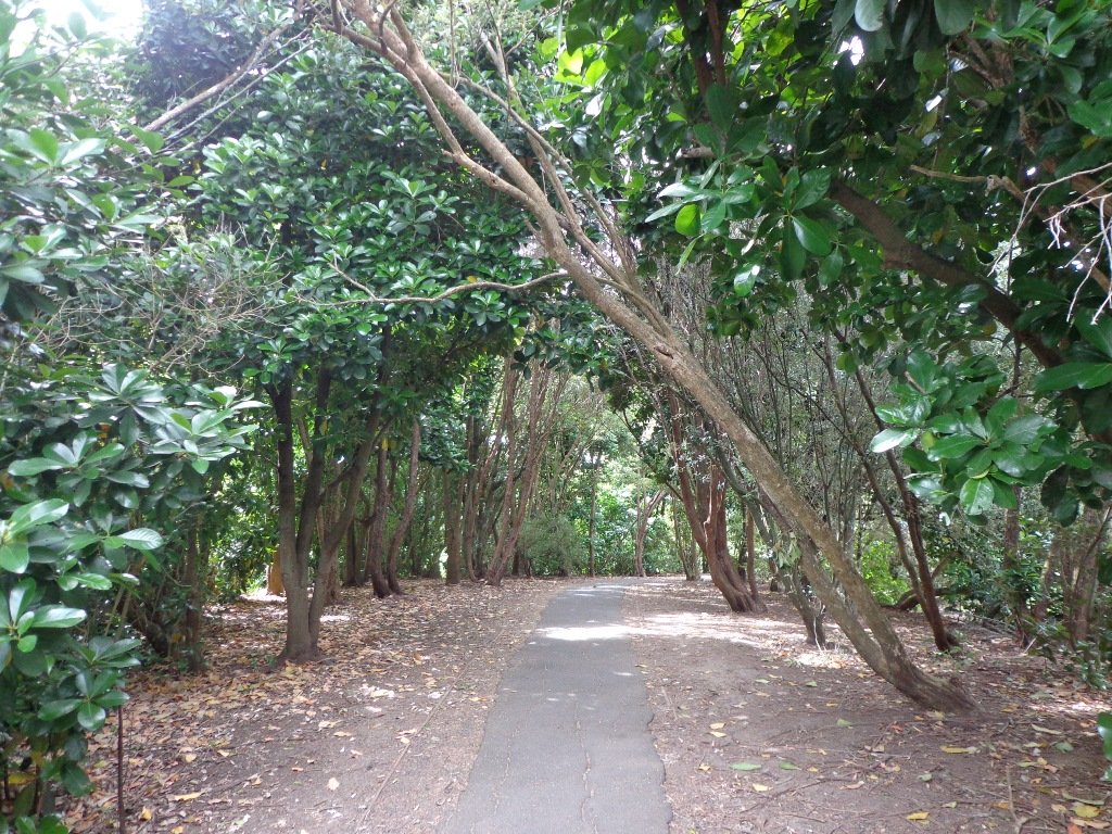
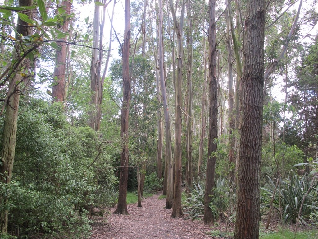
Description: Mostly level paths across farmland and along gravel tracks. Suitable for users of average fitness and mobility. Suitable for mountain bikes. Sturdy shoes recommended.
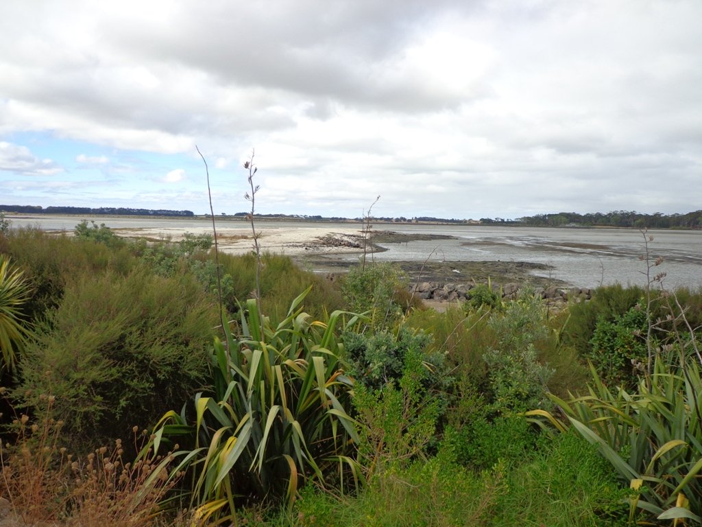
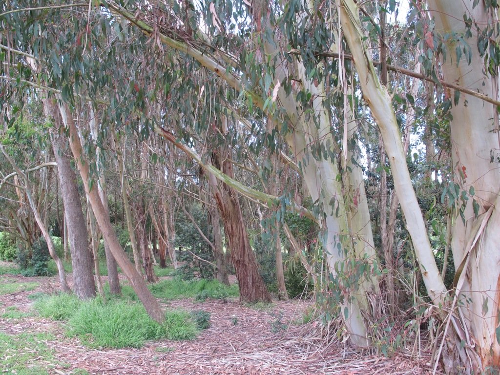
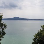
To see: Manukau Harbour, Mangere Mountain, farm land and animals, shore birds, Ambury Park Farm
Time: approx. 60 minutes. (about 5.25 kms)
Start: Ambury Park Farm car park MAP

Download the map of Ambury and devise your own route or

Stay on track…get your detailed guide and map (AS-056 Ambury Park Farm Loop) over at our Walks Store   and our Book Store (one of 12 walks featured in our books “Coastal part 1” and “Best of the South”).

Greenwoods Corner walks

These Auckland walks start from Greenwoods Corner.
Greenwoods Corner is a small village in the Auckland suburb of Epsom, nestled under One Tree Hill. It is named after William Greenwood whose homestead was on the site of the current ASB Bank. The village has a selection of small businesses; a great butcher, good cafes, restaurants, clothing and gift shops, and friendly people. Buses come and go regularly.

At Greenwoods Corner you could purchase picnic food, and then head out to visit  One Tree Hill/Cornwall Park to see the lambs, or visit the Stardome Observatory, then take a walk around the retail area, see heritage buildings, homes built in the early 1900’s with well-kept gardens, and local parks.

Greenwoods Corner Village, Auckland

View of Pah Homestead

Pah Homestead Loop
This central Auckland walk starts from Greenwoods Corner, takes you through the streets of Epsom to the beautiful big park of Monte Cecilia where you can walk around and view the extraordinary TSB Bank Wallace Arts Centre within the wonderfully restored Pah Homestead.

Description: A mix of level paths, steps and slightly inclined paths. Suitable for users of average fitness and mobility. May require boots in wet weather, running shoes suitable in dry weather.
To see: Suburban streets, Monte Cecilia Park, Pah Homestead, TSB Bank Wallace Arts Centre, old trees – native and exotic, views of One Tree Hill and Mangere Mountain
Time: approx. 60 minutes. (about 5 kms)

Walks in Auckland
One Tree Hill

Cornwall park/One Tree Hill Loop
Description: A mix of mainly level paths, and a few steep paths. Suitable for users of all ages and abilities, suitable for normal footwear and for wheelchairs and pushchairs.
To see: City views, harbour views, trees, Volcano, farm animals, observatory. The Park is home to many birds ranging from Native Pigeon, Fantail to California Quail, White-faced Heron and Paradise Shelduck.
Time: approx. 60 minutes (about 5.3kms)

You can download these free walks when you enter your contact details here

Onehunga Foreshore – Taumanu

We began our walk today with a route in mind, starting off from Onehunga Train Station. But as we progressed we changed our mind and found a walk that neither of us had done before, taking in part of Onehunga’s foreshore (as of November 2015 Taumanu Reserve).

View of Mangere Mountain from Onehunga Foreshore. The Foreshore has since been turned into Taumanu Reserve.

The walk follows the edge of the Onehunga Bay Reserve and then the edge of Manukau Harbour along Orpheus Drive. In summer, I would expect to see more shore birds. Even though the walk passes through part of the industrial area of Onehunga, it is still interesting.

This mostly flat walk can be accessed from Mangere Village also.

Onehunga Bay Reserve has a great wide open space (off leash dog exercise area) for dogs to run around in, and, at high tide, a lagoon to swim in. At low tide it is an esturine mud flat full of stinky, black mud (gumboots required in winter/after rain in the reserve itself). Cycle paths and a children’s playground included.

UPDATE 2013/2014:
Auckland Council is “currently restoring the foreshore next to Orpheus Drive to bring back a natural coastal edge and create recreational opportunities for the community. The project will provide high-quality open space, beaches, a boat ramp and picnic areas. A new bridge will connect the new land to the Onehunga lagoon.” (source www.aucklandcouncil.govt.nz)
Video: Secrets of New Zealand’s new $28m beach

To see: views of Mangere Mountain, shore birds, Onehunga Wharf, mangroves, Waikaraka cemetery, industrial area, reclaimed beach at Taumanu Reserve.
Time : approx. 60 minutes. (about 5.77 kms)
Children’s Playgrounds: Onehunga Bay Reserve
Dogs: Off leash area in Onehunga Bay Reserve (caution: muddy after rain). Dogs not allowed within Taumanu Reserve.
Start from: Princes Street, Onehunga MAP

Coastal walks in Auckland part two

We stopped off at The Library Cafe for refreshments. There is a Columbus Cafe on the corner of Onehunga Mall and Princes Street.

Stay on track…get your detailed guide and map over at our Walks Store  (AC-046 Onehunga Foreshore Loop) and our Book Store (one of 12 walks featured in our books “Coastal part 2” and “Dog Friendly Walks part 3”).

Pigeon Mountain and the Wetlands Loop Walk

Pigeon Mountain in the suburb of Half Moon Bay is another of Auckland’s volcanoes.  The mountain was originally three times its present size but its two craters have been quarried away to provide scoria. It is called Pigeon Mountain because in early European times, native pigeons called ‘kereru‘ used to live here.

Walks in Auckland
View from Pigeon Mountain

You can walk to the top of Pigeon Mountain and from the summit there are great views of Tamaki Estuary and Wakaaranga Creek Reserve mangroves, whilst below are boardwalks that cross over wetlands that house nests for the pukeko bird.

Follow the link to the Google Map of Pigeon Mountain and the associated  Wetlands walk.  We also have a second walk option for these areas here. 

Follow this link for the Short walks In Auckland alternate Pigeon Mountain Walk.

walks in Auckland

The nearby mangrove edged Wakaaranga Creek has good paths for wheels.  And there is a cool long slide in a playground that is worth checking out. Because most of this walk is in a bird reserve, dogs must be kept on-leash. However if you choose to follow the 5km Pakuranga Rotary walkway, there are several areas for off-leash exercise between the Pakuranga Sailing Club and Wakaaranga Reserve. This is a mostly flat walk if the walk to the summit of Pigeon Mountain is omitted.

Be aware that some pathways between houses and roads are iron bar chicanes that make it more difficult for wheelchairs, prams and cycles using the path.

Description: A mix of level paths, steps and slightly inclined paths. Suitable for users of average fitness and mobility. May require boots in wet weather, running shoes suitable in dry weather.
To see: Auckland City views, Rangitoto Island views, Volcano summit, wetlands, Pukeko birds habitat.
Time: approx. 75 minutes. (about 6 kms). Allow extra time to walk to the summit of Pigeon Mountain.
Start from: Gills Road just off Pigeon Mountain Road MAP

Stay on track…get your detailed guide and map over at our Walks Store  (AE-033 Pigeon Mountain and the wetlands) and our Book Store ( one of 12 walks featured in our books “Volcanoes” and “Best of the East”).

Dingle Dell and St Heliers Circuit

Walks in Auckland

One of my favourite short bush walks in Auckland is the Dingle Dell Reserve and St Heliers circuit.  On a sunny day St Heliers village  has a holiday feel about it – with the harbour water sparkling, the golden sand and people enjoying the waterfront.  Contrasted with the quietness of the native bush in Dingle Dell.

This is a dog friendly walk with an off-leash exercise area. There is a children’s playground at the corner of Maddills Farm and Allum Street.  Plus a picnic area in Dingle Dell Reserve. And a good choice of cafes along the Tamaki Drive waterfront.

Description: A mix of level paths, gradual inclines and bush tracks. Not wheel-friendly. Suitable for users of average fitness and mobility. May require boots in wet weather, running shoes suitable in dry weather.
To see: Sea/harbour views, beach, residential homes, native bush, views of Mt Victoria and North head.
Time: approx. 60 minutes (about 5.38km).
Parking: Along Tamaki Drive, St Heliers (note Parking Time Zones)
Buses: Tamaki Drive, St Heliers MAP

Stay on track…get your detailed guide and map over at our Walks Store  (AE-003 Dingle Dell) and our Book Store (one of 12 walks featured in our books “Urban Bush” and “Best of the East”).

Hobsonville Point circuit

Walks in Auckland

Today’s discovery walk was at Hobsonville Point.  A good friend of mine had already told me about how wonderful the Catalina Cafe  is on a sunny day.  And then today I read about Hobsonville Pt Park children’s playground which is quite unique – made from sustainably sourced materials.

Access the Google Map for this walk here.  Take it with you and follow the blue dot on your screen to navigate and see your progress.

The family friendly walk explores the former air base with the very few remaining old buildings.  There is a great deal of development going on with new housing and a planned ferry service to the CBD from ‘The Landing’ (which used to be the launching and landing place for flying boats, including Sunderland and Catalina planes). The historic buildings are being demolished at a fast pace to make way for new housing, so if history is your thing, get down there before it is completely gone.

The walking route is also suitable for prams/buggies and dog walkers (on leash only as of August 2014).

This walk takes about 60-80 minutes and is ideal for spring and autumn (too hot in summer and too muddy in winter). There is a lot to explore if you haven’t been here before. This is a dog friendly walk with an off-leash area and is a mostly flat walk.

Please note: As this area is under constant development, the walking route and the off leash dog exercise area, may be subject to change.

Description: Level sealed paths and bush track. Suitable for users of average fitness and mobility. May require boots in wet weather, running shoes suitable in dry weather. Suggested spring/autumn walk.
Caution: Muddy and slippery when wet.
To see: Hangars, barracks, officers housing, seaplane slipway, Auckland harbour views, weekend markets.
Time: approx. 60-80 minutes. (about 5.5 kms)
Start: Opposite Catalina Café off Buckley Avenue MAP


Suggested Café:
Catalina Cafe

You may wish to download our free Hobsonville Point walkway brochure when you enter your contact details here or find your own route here.

Stay on track…get your detailed guide and map (AW-013 Hobsonville Point) over at our Walks Store  and our Book Store (one of 12 walks featured in our books “Dog Friendly Walks part 3” and “Best of the West“.

Waiatarua Reserve – fun for all

Walks in Auckland

Waiatarua Reserve has something for everyone. The reserve is a large wetland (see the pukeko and other water birds) with paths suitable for walking, jogging, wheelchairs  (not electric wheelchairs) and cycling (paths not suitable for small wheels like scooters).

The walking route is also suitable for prams/buggies with large wheels.

It  has a children’s playground, picnic tables, viewing platforms, a Basketball half court, a Skate park.

This is a dog friendly, mostly flat walk  (watch out for puddles after rain) with an off-leash exercise area. It has been called “Auckland’s best dog park” (See other Dog Friendly Walks).

In some places, you could imagine that you are a long way from civilization, because all you can hear are the birds and all you can see are trees.

The walk is signposted to be 60 minutes long, we walked just over 3 kms, which makes it a short family friendly walk.

Description: Mostly level paths with very slight inclines. Suitable for users of average fitness and mobility. May require boots in wet weather, running shoes suitable in dry weather.
To see: Wetlands, Ducks and Pukeko birds habitat.
Time: approx. 30-60 minutes depending on what you decide (about 3.3 kms)
Start: Car park off Grand Drive MAP
Suggested Cafe: Hollywood Bakery in Lunn Avenue

Dog friendly walks in Auckland - part one


Stay on track…get your detailed guide and map over at our Walks Store  (AC-035 Waiatarua Reserve) and our Book Store (one of 12 walks featured in our book “Dog Friendly Walks part 1”).

St Heliers and the Hauraki Gulf

Walks in Auckland

What a fabulous day for a walk in Auckland – warm, sunny, no wind….and there were so many people out and about taking advantage of the great weather!

St Heliers is a buzzy little place on Tamaki Drive with a small selection of cafes and restaurants to choose from for refreshments.

Todays walk provides spectacular views looking over the Hauraki Gulf to the small islands and the impressive Rangitoto volcano. And then onto Glover Park another of Auckland’s volcano remains – this one is an ‘explosion crater’.

This is a dog friendly walk with an off-leash exercise area.

Description: A mix of level and steep paths. Suitable for most ages and levels of fitness and mobility, designed with flat shoes or running shoes in mind. Not suitable for wheelchairs and pushchairs.
To see: Wonderful views of Rangitoto, Hauraki Gulf and Auckland City.
Time: approx. 60 minutes. (about 4.5kms) Map

Find this walk over at our Walks Store (AE-016 St Heliers and Glover Park) and our Book Store (Volcanoes, Dog Friendly part 2, Best of the East)

12 Volcano Walks
12 Volcano Walks

Glover Park is featured in our book “Volcanoes”. Available from AmazonShort Walks in Auckland: Volcanoes (and on Kindle)

Hillsborough Cemetery to the Bays

The Hillsborough Cemetery to the Bays walk is one of the few walks in Auckland that does not have a nearby cafe. However, we feel that it deserves to be in our collection because it is quite magical – from the peacefulness of the cemetery, to the rustling of the bush and then the lapping of the water at the edge of Manukau Harbour.

There is a publication called ‘Not Just Passing Through – the making of Mt Roskill’ by Jade Reidy that devotes a page to Hillsborough Cemetery.
The cemetery contains resting places for about 17,000 people who were buried there from 1916.
Even the first man to go over the Niagara Falls in a barrel, Bobby Leach, is buried there.

The walk passes through the native bush of two reserves – Goodall Street reserve and Belfast Reserve. These two reserves have stands of native bush and fauna.

Dogs – this walk includes  off leash dog exercise areas.

At the bottom of the hill, you can get great views across Manukau Harbour to Mangere Mountain. And when the tide is in, the scene is set for a spot of kayaking!

Short Walks in Auckland: Urban Bush

Description: A mix of level paths and steep paths/steps. Suitable for users of average fitness and mobility. May require boots in wet weather, running shoes suitable in dry weather.
Caution: Muddy and slippery when wet. Not wheel-friendly.
To see: Cemetery, native bush, harbour beaches, Manukau Harbour views.
Time: approx. 60 minutes.
Start: Hillsborough Cemetery corner Hillsborough Road and Goodall Street   MAP

Stay on track…get your detailed guide and map over at our Walks Store  (GS008 Hillsborough Cemetery to the Bays) and our Book Store (one of 12 walks featured in our books “Urban Bush” and “Coastal part 1”).