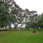
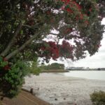
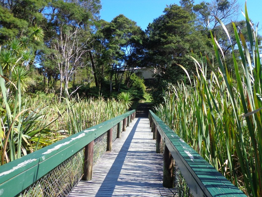
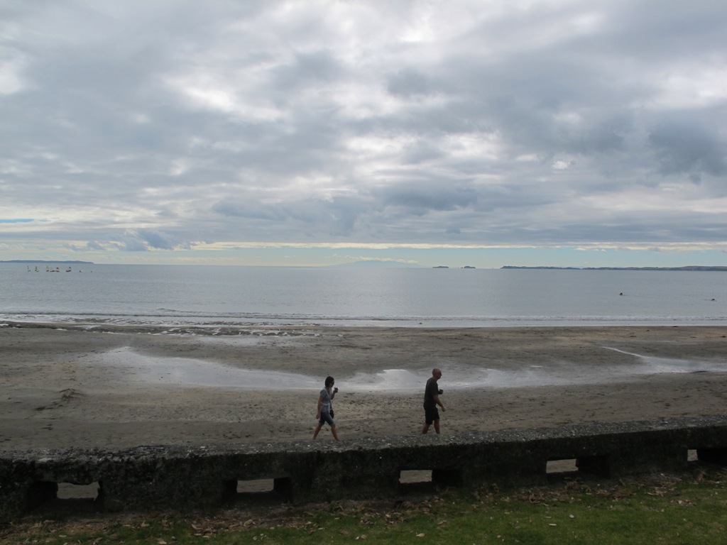
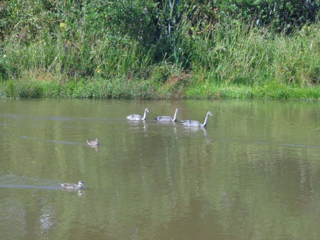
Seaside Park at Otahuhu is a small and delightful park. It is off on a limb and shares views of Tamaki Estuary with Highbrook Park.
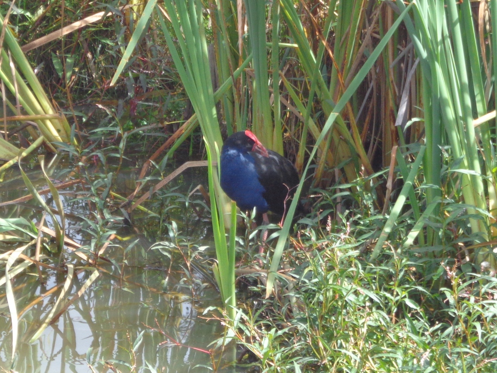
Seaside Park provides native birds and other wildlife with habitat expansion and protection as the wildlife refuge area protects bird species and other wildlife, such as native skinks, from predators and gives them an undisturbed home.
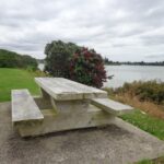
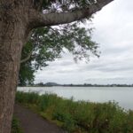
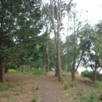
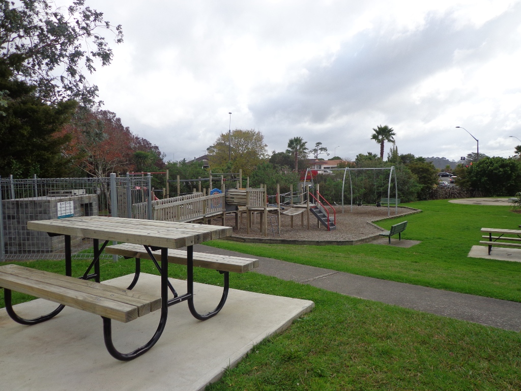
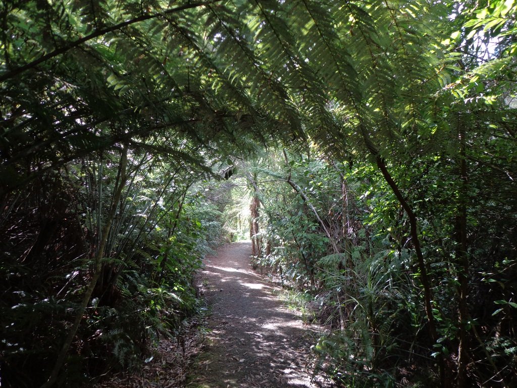
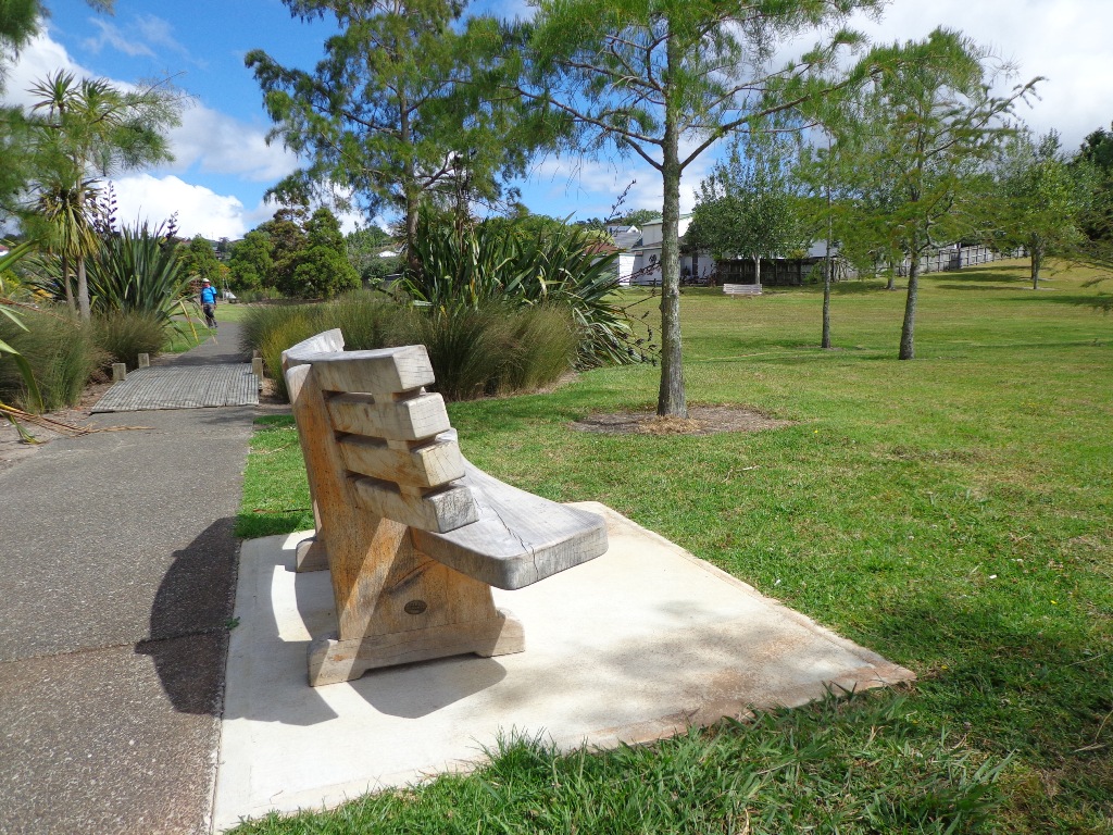
The loop walkway is less than 2kms, but it is a great place for dog owners to exercise their dogs. There is a children’s playground and picnic tables.
You can start the walk at the playground – head down to the path alongside the estuary and keep following it around until you return to the sports field.
Due to the weather being unpredictable and grey clouds on the horizon, we decided to play it safe and headed to Ponsonby/Freemans Bay for a walk, knowing that we could always shelter under shop awnings if there was a downpour.
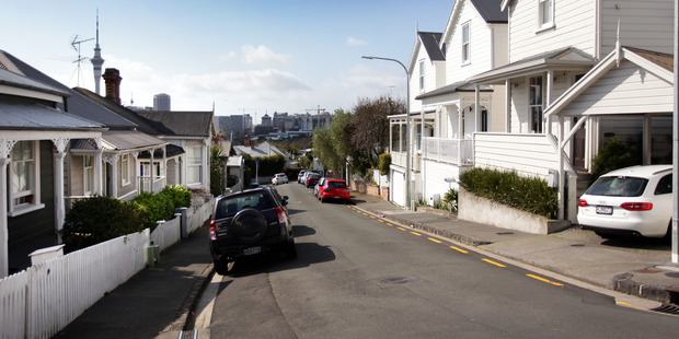
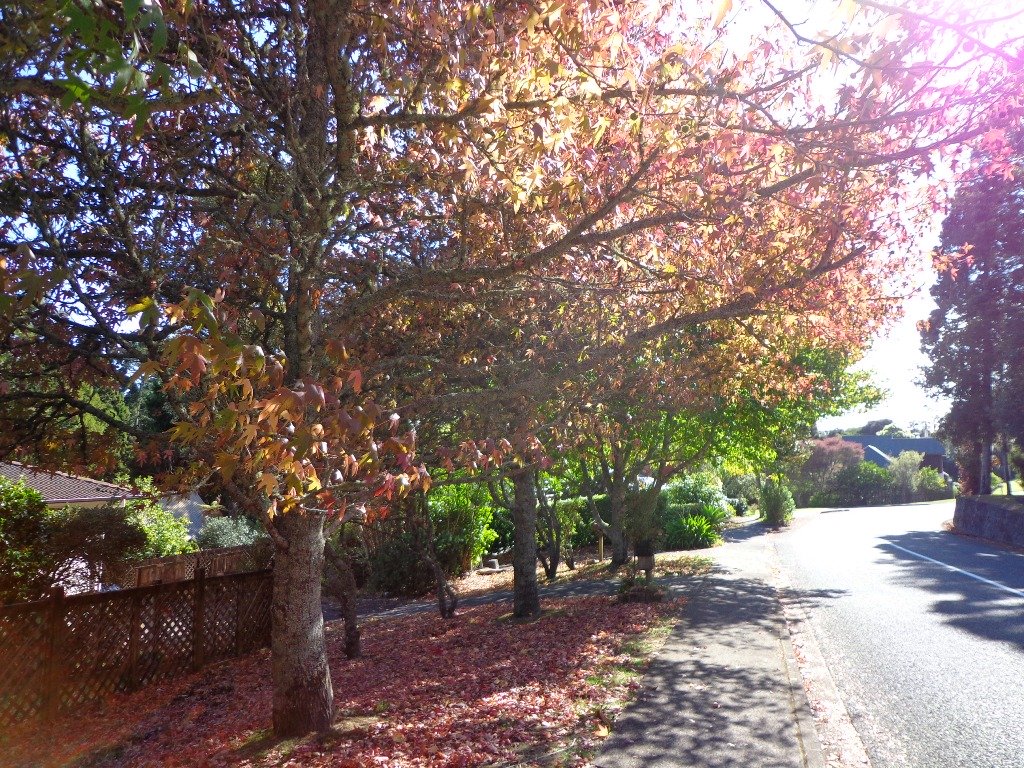
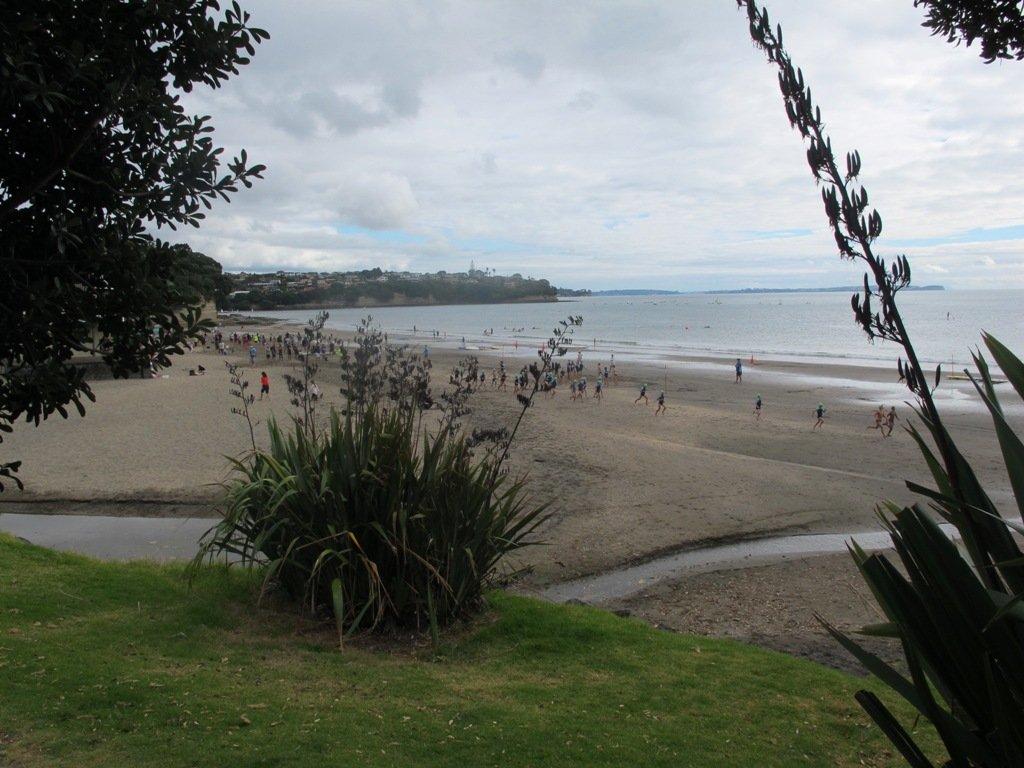
We were lucky – it stayed dry. Which also meant that we could observe our surroundings – the beautiful old style houses, the decorated ceilings, the sculptures, the shops and cafes and the trees in Western Park. It’s a changing landscape with always lots to see.
This is a great short walk if you work in Ponsonby and need to get out for a leg stretch. Or if you want to visit on a Sunday, there is lots of street parking available. Or you if you live here and just want to explore. You can start at any point on this circular route. And take a short diversion to Victoria Park Markets if that takes your fancy.
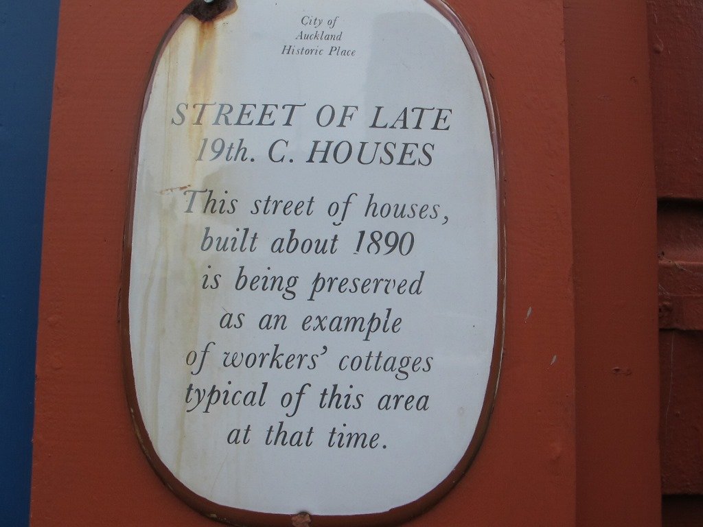
If you are into heritage homes, take a side-trip down Renall Street to view pre-villa Victorian houses built from the 1860’s to 1880’s for lower-income workers.
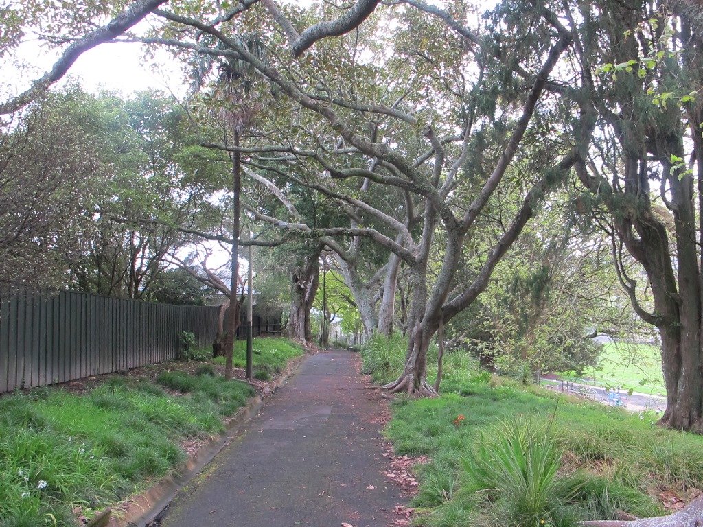
Western Park is an off leash dog exercise area and has a selection of picnic tables to make the most of on fine days. There is also a fun playground with slides and flying fox.
Description: Mostly level paths, with some steep paths. Suitable for most ages and levels of fitness and mobility, designed with flat shoes or running shoes in mind. Suitable for pushchairs. To see: Views of Auckland City skyline, beautiful old style houses, decorated ceilings, sculptures, shops and cafes and the trees in Western Park. Time: approx. 40 minutes (about 4.5 kms). Start: Wellington Street, Freemans Bay. MAP
Stay on track…get your detailed guide and map brochure over at our Walks Store (AC-107 Ponsonby Loop) or find more walks in our books at the Book Store.
At last! Beautiful blue skies and sunshine. A perfect Fathers Day. And of course, a perfect day for a walk. We decided to check out the Oratia Twin Streams walk and cycleway to see if we could include it as part of a fun circular walk. We did it!
We have now completed writing up 36 dog friendly short walks in Auckland in three volumes.
Most of these walks include off leash dog exercise areas. We have a full list of dog friendly walks here: Dog Friendly Walks in Auckland
These three “Dog Friendly Walks” books are now available on Amazon and from your local Auckland library.
“Dog Friendly Walks – part one” . The 12 places we take you: Big King, Newmarket, Meola Reef, Waiaturua Reserve, Blockhouse Bay, Belmont, Northcote, Wattle Downs, Highbrook Park, Churchill Park, Macleans Park, Moire Park.
“Dog Friendly Walks – part two”. The 12 places we take you: Mt Eden, Hobson Bay, Western Park, Heron Park, St Johns, Blockhouse Bay, Le Roys Bush, Bayview Bush, Totara Park, Glover Park, Whau River, Glen Eden.
“Dog Friendly Walks – part three”. The 12 places we take you:Parnell, Hobson Bay, Onehunga, Grey Lynn , Westhaven, Unsworth Reserve , Bayview, Otara, Cascade Walkway , St Johns , Hobsonville Point and Henderson.
These three “Dog Friendly Walks” books are now available on Amazon and from your local Auckland library.
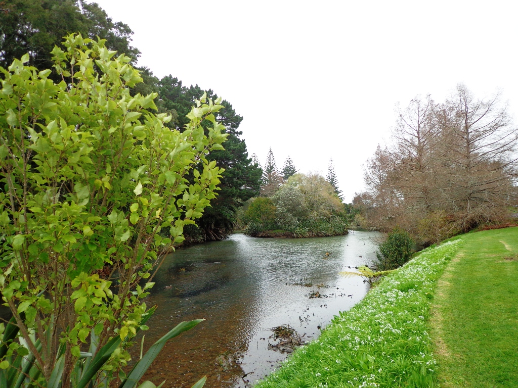
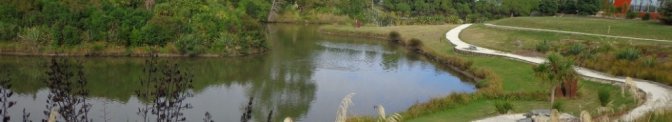
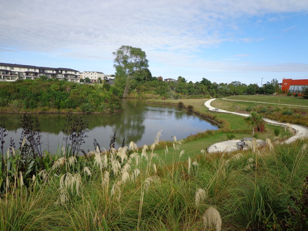
The Meadowood Reserves loop walk follows a route documented by Margaret Scrymgeour from her booklet “Explore the Shore”. The walk begins at Meadowood Community Centre – which has BBQ, picnic and playground facilities.
The walk loops in and out of Unsworth Reserve (where dogs were playing happily off leash), which has a storm water pond and a children’s playground. There are also lovely bush areas where today the birds were singing.
Description: Mostly level paths. Suitable for most ages and levels of fitness and mobility, designed with flat shoes or running shoes in mind. Suitable for pushchairs. To see: Pond, stream, bush. Time: approx. 50 minutes (about 4.0 kms). Start: Meadowood Community Centre, corner Caribbean Drive and Meadowood Drive. MAP
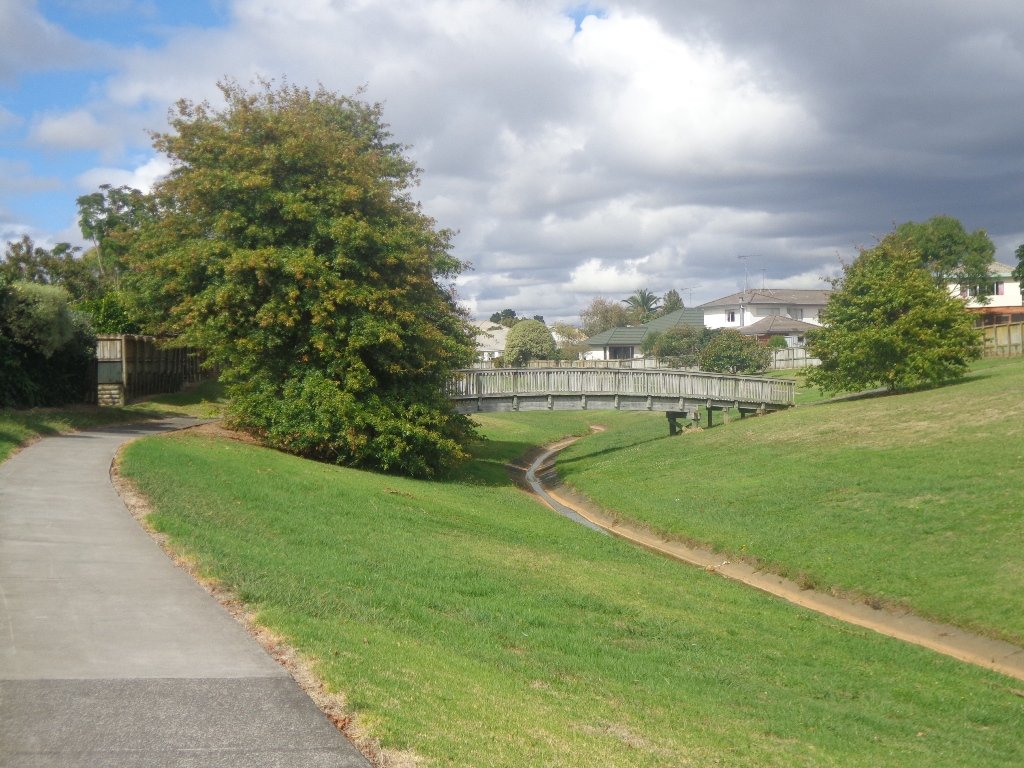
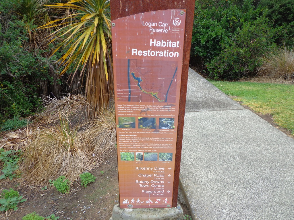
It continues to amaze us how the distances between places seem shorter when we are out walking compared to driving. This loop walk in Auckland from Botany Town Centre and back via Cascades Road, was one that took us from an unfamiliar area to an area we have walked previously. When we start exploring a new area, we are never sure what we are going to find, and we found today’s walk very pleasant.
We made good use of reserve walkways and the suburban streets. And we had three delightful surprises.
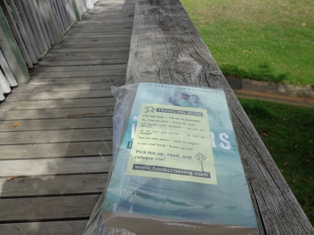
Our first surprise was finding a book – a travelling book (from BookCrossing) left by someone to be picked up, read and released!
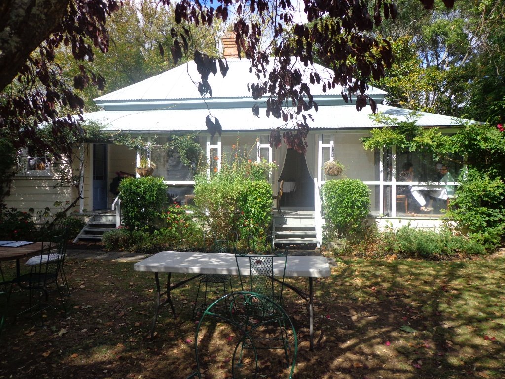
The second surprise was stumbling upon an old farm cottage which has been converted into a cafe that is surrounded by modern suburban housing. The grounds contain a tree that was planted in 1890. A hidden gem with a rural feel right in the middle of an urban wasteland with heaps of character and charm – Hawthorn Dene Historic Country Cafe.
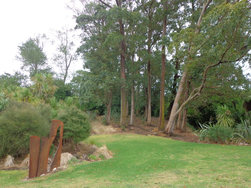
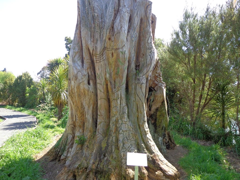
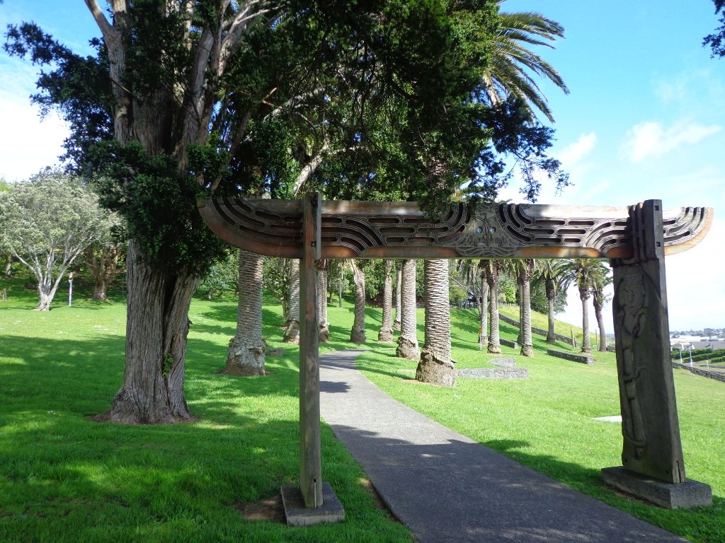
The third surprise was an amazing and wonderful wood carving which you would not know was there if you were travelling by car.
The walking route is also great for cyclists, prams/buggies and dog walkers . Dogs- Off leash exercise areas within reserves and parks.
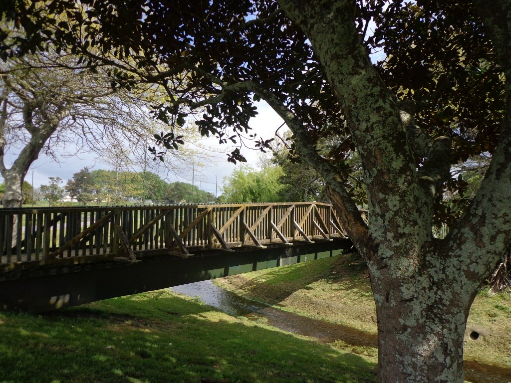
Description: Mostly level paths. Suitable for most ages and levels of fitness and mobility, designed with flat shoes or running shoes in mind. Suitable for pushchairs. To see: Historical sites, bridges, waterways. Time: approx. 75 minutes (about 7kms). Start:The Hub, Ti Rakau Drive, Botany. MAP
Stay on track…find this walk’s map and directions guide (AE-100 Botany to Cascades Loop) and other walk self-guides at our Walk Store and our Book Store (“Best of the East”).
Glen Eden is undergoing stream restoration and cycleways development as part of the Twin Streams Project, so we set out for an exploratory walk to see what we could uncover.
We started off at Ceramco Park, but if you are arriving by train, you could take the Upper Waikumete Walk and Cycle Way starting from the corner of Captain Scott Road and West Coast Road, turn right into Savoy Road to continue to Ceramco Park. We followed the Waikumete Stream, footpaths, walkways and tracks through native bush and wetlands, over bridges and along pleasant residential streets, making this an enjoyable short urban bush walk.
Dogs – Off leash exercise areas within reserves and parks.
Description: Mainly flat with one steep road. Suitable for most ages and levels of fitness and mobility, designed with flat shoes or running shoes in mind. Suitable for pushchairs. To see: Waikumete Creek, wetlands, native bush, kauri trees. Time: approx. 60 minutes (about 5.47kms). Parking: Ceramco Park. Start: 120 Glendale Road, Glen Eden. MAP
Stay on track…get your detailed guide and map (AW-099 Glen Eden Bush & Stream Walk) over at our Walks Store and our Book Store (one of 12 walks featured in our books “Dog Friendly Part 2” “Best of the West“).
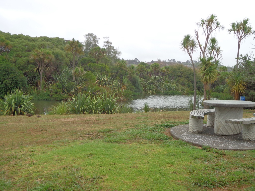
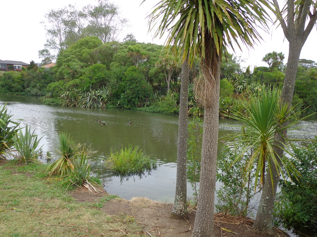
This short loop walk exploring the reserves from Botany Town Centre to Dannemora is suitable for people who work at Botany Town Centre and enjoy a short walk in their breaks, families with young children (playground, ducks) and dog owners.
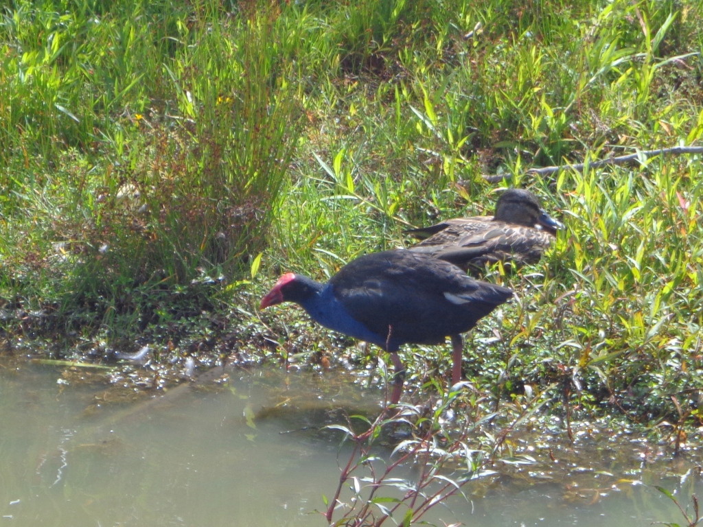
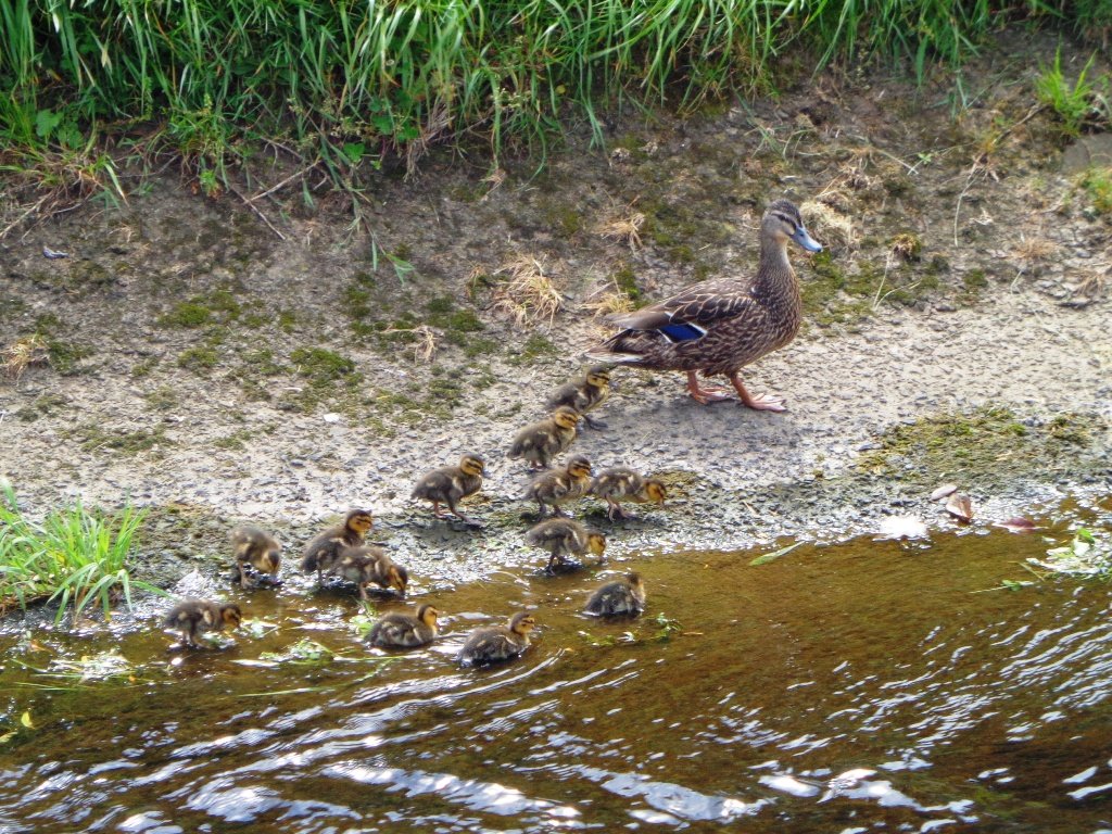
The walkways are flat and concrete – ideal for wet days, and for buggies and scooters. We saw ducks, pukeko and shags on the waterways. There is a children’s playground en-route, picnic tables and off leash dog exercise areas.
The walking route is great for cyclists, prams/buggies and dog walkers.
Description: Mostly level paths. Suitable for most ages and levels of fitness and mobility, designed with flat shoes or running shoes in mind. Suitable for pushchairs. To see: Reserves and waterways. Time: approx. 45 minutes (about 3.4 kms). Start: Town Centre Drive, Chapel Road, Botany. MAP
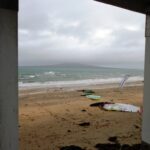
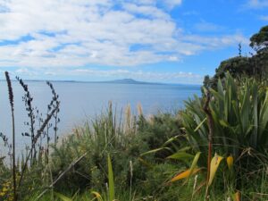
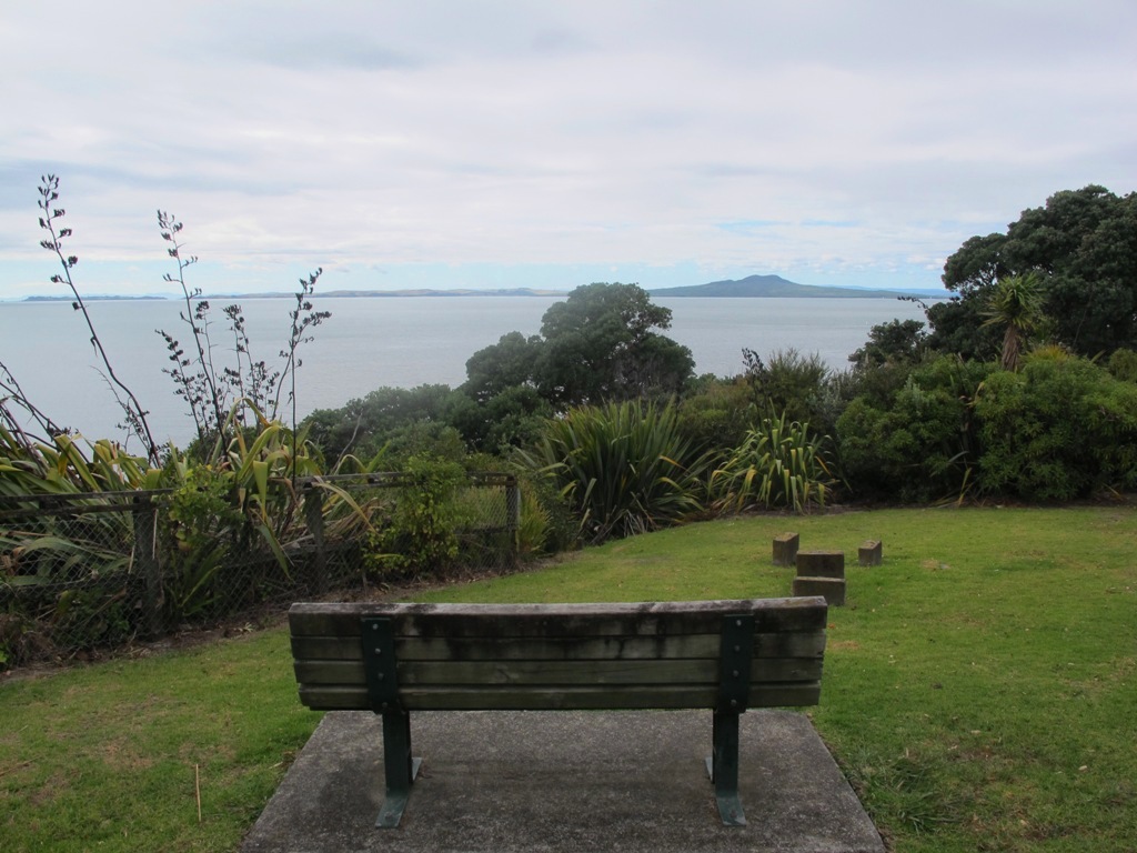
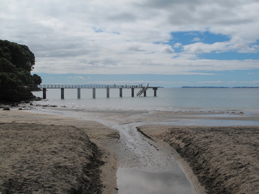
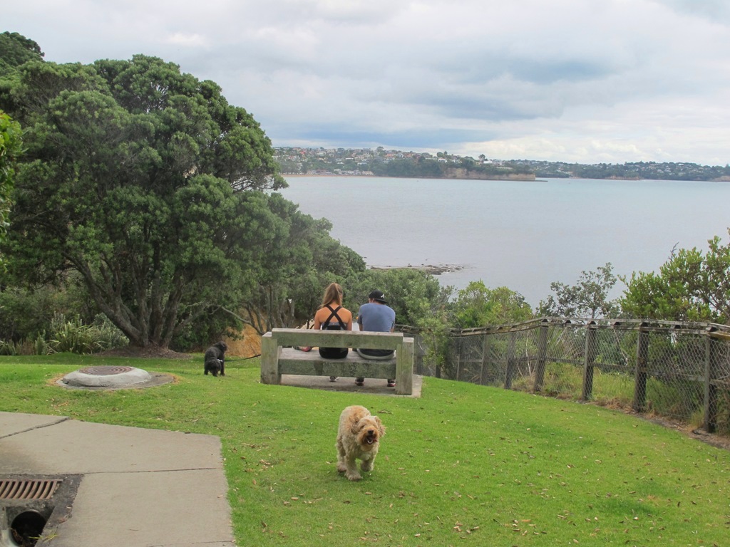
The clifftop and beach loop walks starting at Campbells Bay and taking in Mairangi Bay, and Murrays Bay and part of Rothesay Bay on Auckland’s North Shore provide stunning views over the Hauraki Gulf and Islands.
The beach walkway is dependent on weather and tides (check tides here).
Today the beach at Maurangi Bay was busy with sailors, surf lifesavers, swimmers and paddle boarders.
People were out walking their dogs – and the dogs looked very happy racing around off the leash along the cliff paths. Be sure to check out the Auckland Council dog rules for the North Shore beaches here.
Dogs are allowed under control off-leash at any time at Churchill Reserve Beach (Rothesay Bay).
The walkways do have steps so a good level of fitness is needed.
Description: Mostly level paths with some steps and one steep climb. Suitable for most ages and levels of fitness and mobility, designed with flat shoes or running shoes in mind. Not suitable for pushchairs. Not recommended at high tide. To see: Coastal views. Time: approx. 80 minutes (about 6.65 kms). Parking: View Road, Campbells Bay. MAP
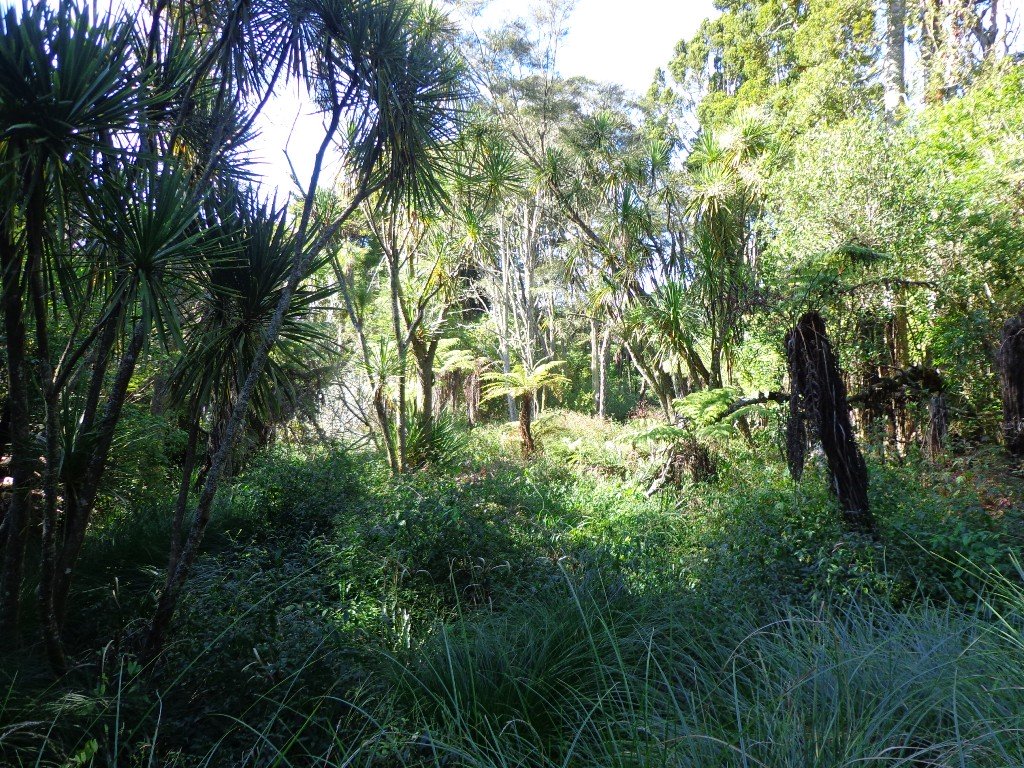
The Totaravale Reserves loop walk loosely follows a route documented by Margaret Scrymgeour from her booklet “Explore the Shore”. This walk on Auckland’s North Shore starts out in Rewi Reserve, then climbs up to the ridge of Sunset Road for a view over the rooftops of Auckland City and heads back down again to bush tracks, streams, and ponds in Unsworth Reserve and passes three playgrounds.
Dogs – off leash areas along route.
Description: Mostly level paths with some small flights of steps and one steep path. Suitable for most ages and levels of fitness and mobility, designed with flat shoes or running shoes in mind. To see: Wetlands, parks, stream, pond, native bush. Time: approx. 60 minutes (about 5.0 kms). Start: Corner of Trias Road and Athena Drive. MAP
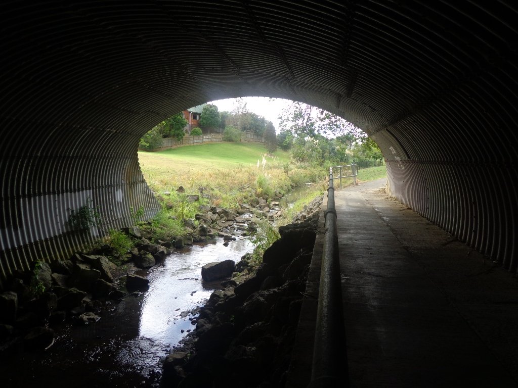
It turned out to be a wonderful warm spring day – perfect for exploring the pathways beside Henderson Creek in West Auckland. The previous Waitakere City Council has spent a great deal of ratepayers money on providing walkways and cycle-ways throughout the district. It was heartening to see people make the most of them as we walked alongside the Creek.
Hopefully the “International Walkway of Trees” section will become a wonderful legacy as many of the trees were gifted and planted for future generations by representatives of the ethnic communities living in Waitakere City as at October 2000.
What was missing though, was signposting and maps to indicate where you were and how far to go. We had printed off our own map before starting off, but for newcomers without a map, they could only venture there and back, for fear of getting lost.
Henderson Creek was once a hive of activity for traders, vintners, farmers, orchardists and families, and the area was also known for it’s timber milling industry.
We did enjoy our 4.5km walk – the sun was shining, the birds were singing, we were sheltered from the cool breeze and this was a part of Auckland that was new to us. To top it all off, we had a delicious coffee at The Falls Restaurant – sitting outside in the sunny courtyard.
Dogs – Off leash areas within reserves and parks.
Description: Mostly level paths. Suitable for most ages and levels of fitness and mobility, designed with flat shoes or running shoes in mind. Suitable for pushchairs. To see: Henderson Creek, historical sites. Time: approx. 60 minutes (about 4.5kms). Parking: Public carpark (free on Sundays). Start: Corner Edmonton Road/Alderman Drive. MAP Playground: Tui Glen Reserve (includes a flying fox).
Stay on track…find this walk’s map and directions guide (AW-094 Henderson Creek Loop) and other walk self-guides at our Walk Store and our Book Store (one of 12 walks featured in our books “Dog Friendly Walks part 3” and “Best of the West”).
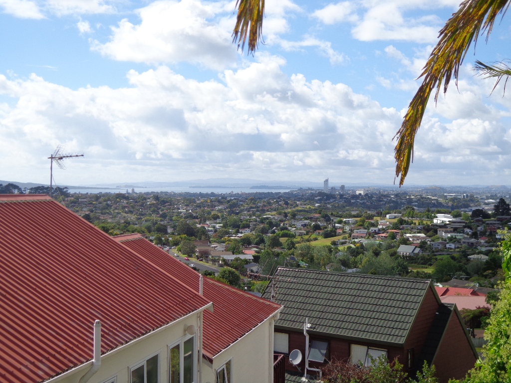
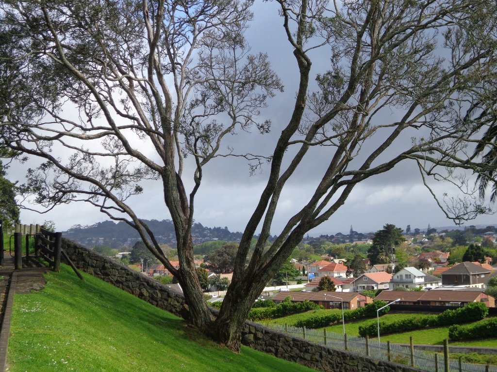
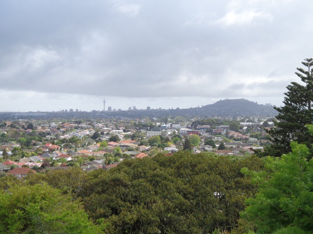
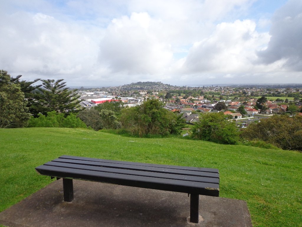
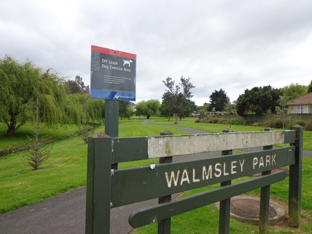
We had overlooked Mt Roskill as a place to walk and explore… until today. The volcano double cone and twin craters of Mt Roskill have been destroyed through the installation of a water reservoir, but from the top it is easy to view Mt Albert, Mt Eden, Big King and One Tree Hill.
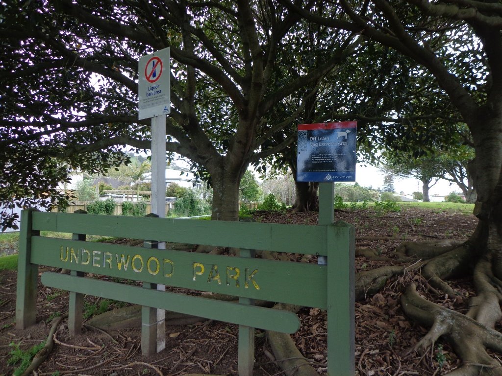
Our flat walk (if you choose not to walk up to the summit of Mt Roskill) links up three reserves – War Memorial Park, Walmsley Park and Underwood Park. Take some bread to feed the ducks in Oakley Creek. The final part of the walk is at the colourful shops of Stoddard Road.
The walking route is also great for cyclists, prams/buggies and dog walkers (on leash and off leash dog exercise areas in Walmsley Park and Underwood Park.).
We stopped for a very good coffee at an almost hidden Ethiopean cafe in the Tulja Centre called Cafe Abyssinia.
9th December 2013 – a new cafe has opened at 740 Sandringham Road Extension. Give your support to a community project – the Roskill Coffee Project.
Please note: An upgrade of Oakley Creek storm-water project has been proposed by the Local Board. If it goes ahead, there will be some disruption along this route within Walmsley and Underwood Parks from 2016. Read about it here.
Description: Mostly level paths, steep paths ascent to summit of Mt Roskill. Suitable for most ages and levels of fitness and mobility, designed with flat shoes or running shoes in mind. Suitable for wheelchairs and pushchairs if Mt Roskill summit is avoided.
To see: Views of Auckland City skyline, Mt Albert, Mt Eden, Three Kings, One Tree Hill. Oakley Creek and ducks. Time: approx. 90 minutes (about 7.5 kms). Start: Corner of Sandringham Road extension/Stoddard Road. MAP
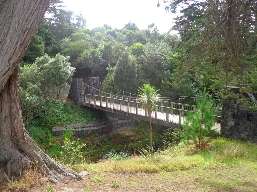
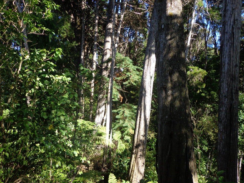
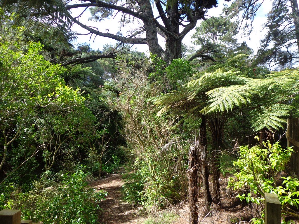
Over the years, we have made many visits to Paul Matthews Road off the Upper Harbour Highway in Albany totally unaware that nearby is the huge Unsworth Reserve with the Alexandra Stream flowing through.
The Alexandra Stream is thought to be named after Princess Alexandra who married the Prince of Wales in 1863.
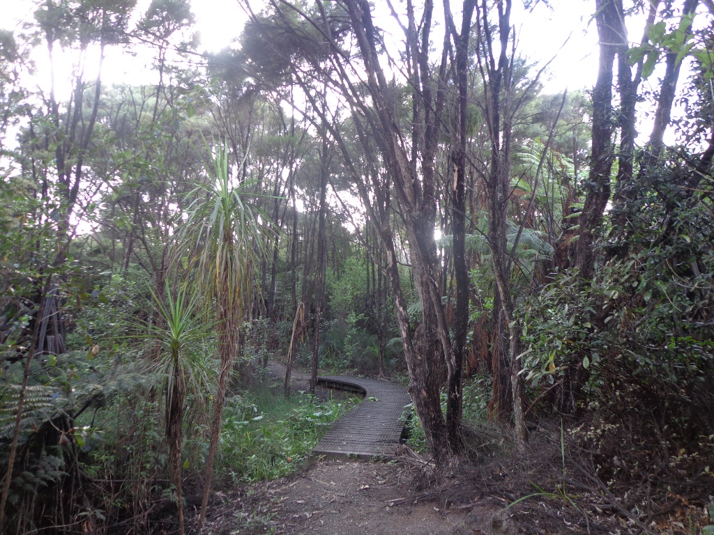
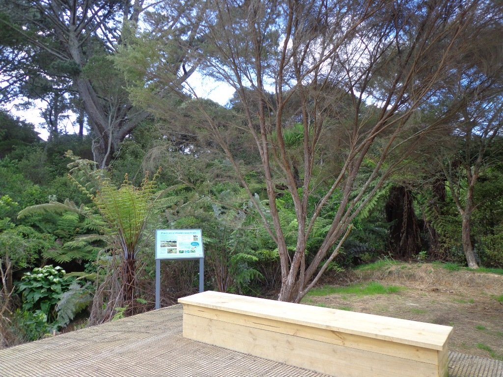
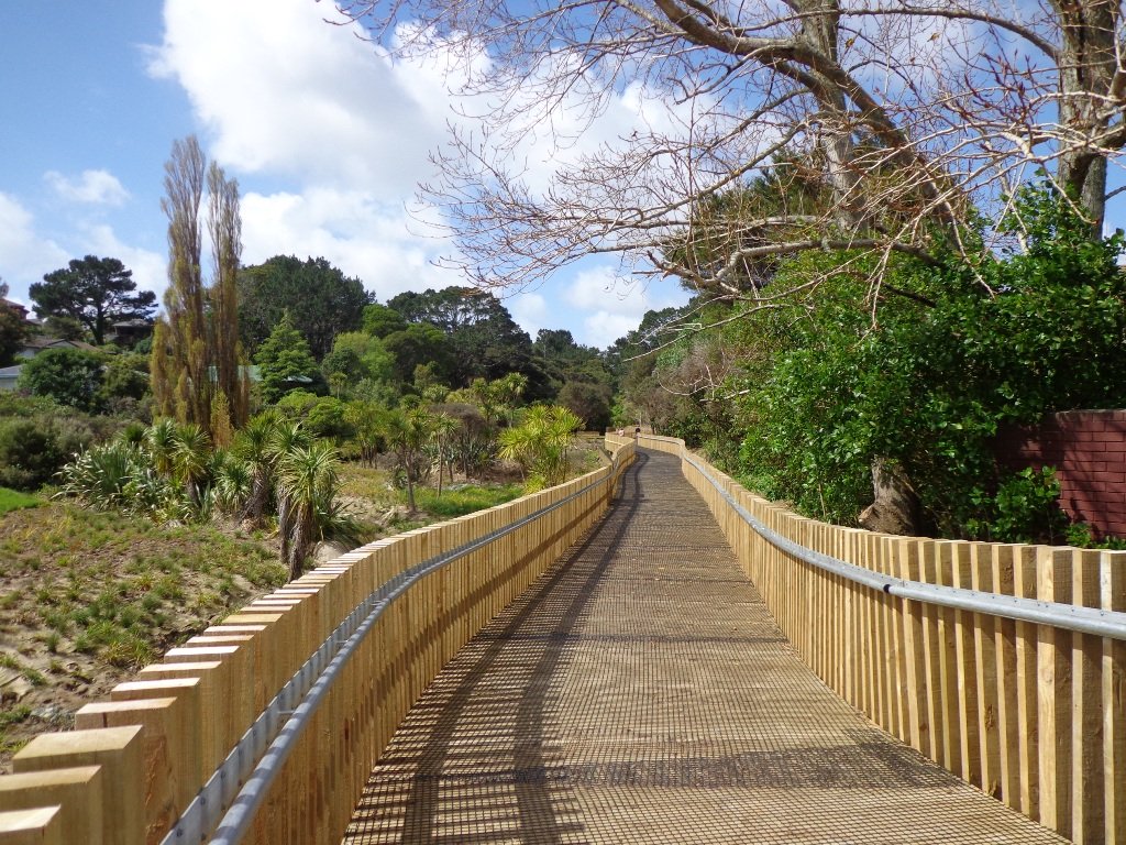
Recently a new board walk/ cycle way has been completed. Obviously we have no idea what was here previously, and can’t imagine how much the project would have cost, but it certainly looks impressive. We hope that it will get a lot of use by recreational and commuting cyclists, pedestrians and joggers. As the many plants and trees grow, it will become a beautiful oasis in the middle of suburban housing.
Along the boardwalk are boards – informing us of ways that water quality is being improved, the past fruit cultivation, ways to reduce erosion and plants – the weeds and natives. And we are impressed with the sign posting.
It was fabulous to walk among many silver ferns, ponga ferns and manuka trees beside the untouched paths along the edge of the reserve.
As we were about to return to the industrial edge of the reserve, we were delighted to spot a pair of adult ducks with about 10 to 12 ducklings swimming and feeding among the reeds in the wetlands of the storm water catchment Omega Pond.
Description: Mostly level paths. Suitable for most ages and levels of fitness and mobility, designed with flat shoes or running shoes in mind. Suitable for wheelchairs and pushchairs/prams/buggies. To see: Wetlands, park land, ponds. Time: approx. 60 minutes (about 5.0 kms). Start: Rosedale Park. MAP
FEEDBACK April 2018: “Having (attempted to) walk the Unsworth loop (North shore) today with baby and pram I can strongly recommend DO NOT do so. Overtime the path has been worn down and it’s almost impossible to do the loop because of the thousands of tree roots.” Please take photos and report to Auckland Council.
Stay on track…get your detailed guide and map (AN-092 Unsworth Reserve Loop) over at our Walks Store and our Book Store (one of 12 walks featured in our book “Dog Friendly Walks part 3”).
Today was our first walking exploration in the Albany area of Auckland. Previously I had stopped a couple of times for coffee at the Wine Box cafe and we had attended conventions at the North Harbour Stadium. So the area was not totally new to us.
*** Unfortunately Albany Scenic Reserve was been closed in 2015 due to Kauri Dieback ***
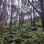
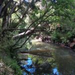
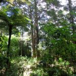
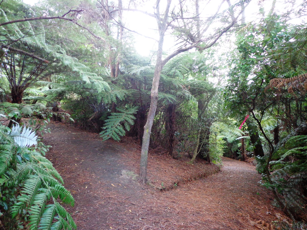
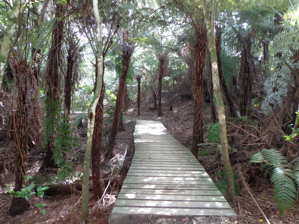
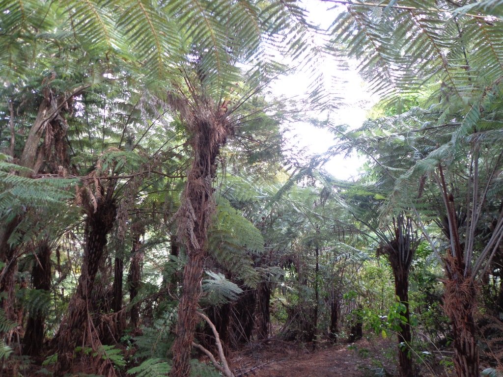
As usual we were surprised at what we uncovered – a beautiful bush walk along a stream. The previous night had been very stormy (the news reported that there were over 1000 lightening strikes) and the stream was very full and flowing very fast! The well formed track following the stream however was not muddy as we would have expected.
However we did get “temporarily displaced” in a bush area(which involved climbing over two wire fences), and we will return to document a clear route.
In the early days the most popular means of transport from Greenhithe, Albany and Paremoremo to other areas whether on the North Shore or in Auckland was by water. Many wharves were built on both sides of the banks of Lucas Creek and Hellyer’s Creek. Rowboats were common for travelling the short distance between Paremoremo and Greenhithe, while launches shipped passengers and goods to and from Auckland. Regular shipping services became very important to settlers in the area who relied on sales of their fruit and dairy farming products in Auckland to make a living.
The Landing was an area that served as a terminus for the transportation of passengers and goods by water. It was demolished in the 1930s and has since been redeveloped for residential use. Source: Auckland Council
The route begins and ends at Kell Park. It starts off along a concrete path. After which it heads into the bush, following the stream. We were impressed by the bush, the palms and the giant totara trees. The loop walk returns via Massey University.
Dogs – off leash exercise area along bush track in Albany Reserve.
Description: A mix of level paths, steep paths and steps. Suitable for most ages and levels of fitness and mobility, designed with flat shoes or running shoes in mind. Not suitable for wheelchairs and pushchairs. To see: New Zealand bush, streams Time: approx. 90 minutes (about 7.5 kms). Start: Kell Park, Albany. MAP
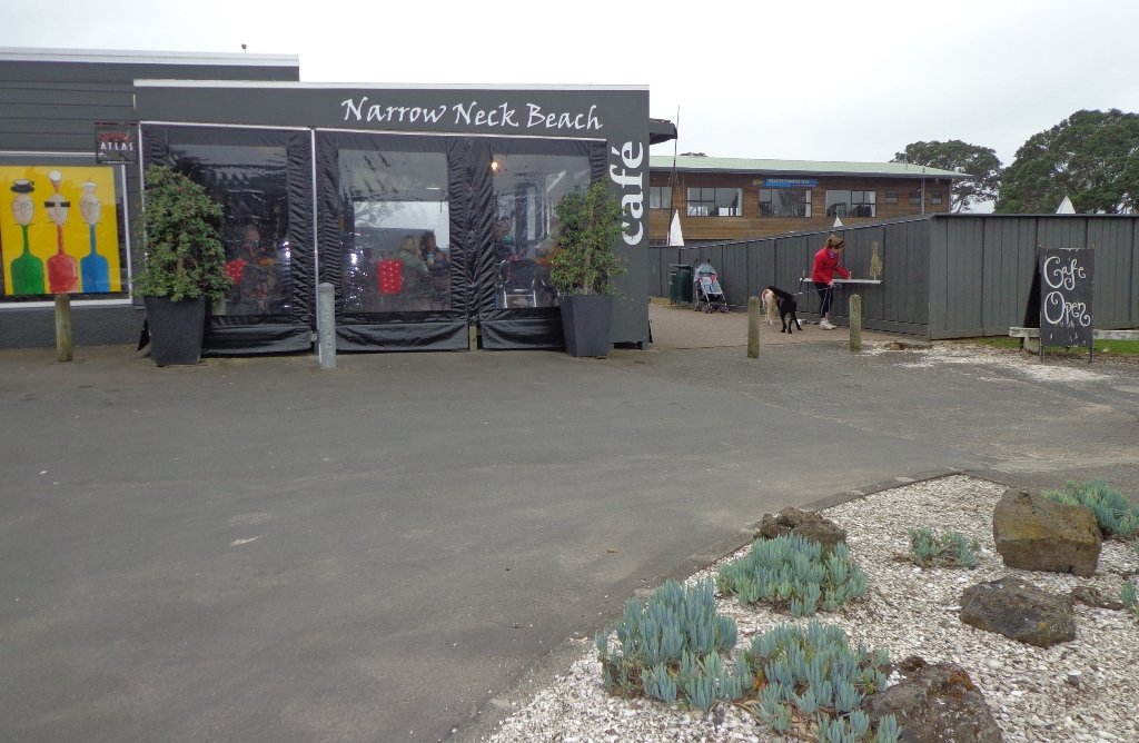
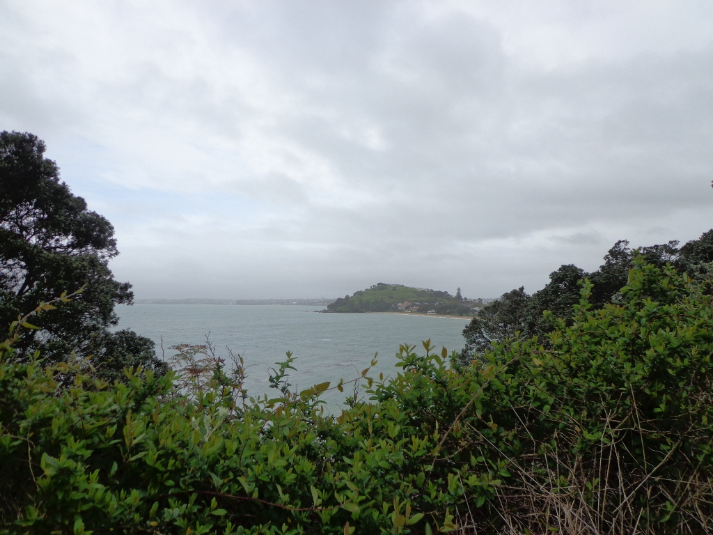
The dark grey sky and strong winds did not bode well for our walk from Narrow Neck Beach (north of Devonport) to Ngaratinga Bay – a mini coast to coast loop. However, we did stay dry and the walk was invigorating and very enjoyable with plenty of interest along the route.
Fort Takapuna Reserve stands guard above Narowneck Beach and is one of four off leash dog exercise areas. The other off leash areas are: Ngaratina Park, Woodall Park and Cambria Reserve. Cheltenham Beach is off leash at certain times.
From Fort Takapuna Reserve there is a good view across Cheltenham Beach to North Head.
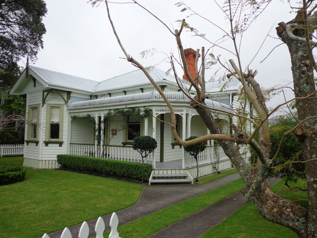
There is only a little of street walking and that provides a peek at the pretty Victorian style houses that Devonport is well known for.
If you have time, you may wish to stop at the Devonport Museum – you will pass by the entrance along the route.
Description: A mix of level paths, steep paths and steps. Suitable for most ages and levels of fitness and mobility, designed with flat shoes or running shoes in mind. Not suitable for wheelchairs and pushchairs. To see: Wonderful Hauraki Gulf and Auckland City views, views of North Head and Mount Victoria, historical buildings & sites, Victorian style homes. Time: approx. 60 minutes (about 5.5 kms). Dog off leash areas. Children’s playgrounds. Start: Old Lake Road, Narrow Neck. MAP


 “
“ “Dog Friendly Walks – part two”
 “
“


 As usual we were surprised at what we uncovered – a beautiful bush walk along a stream. The previous night had been very stormy (the news reported that there were over 1000 lightening strikes) and the stream was very full and flowing very fast! The well formed track following the stream however was not muddy as we would have expected.