Category Archives: Auckland Wetlands and Waterways

Within Auckland we are very lucky to have unique wetlands spread out among the suburbs. These environments provide refuge for bird life and swamp plants. The restoration and preservation of these areas has been carried out by the Auckland Council, Fish and Game NZ, the Department of Conservation, Forest & Bird and the National Wetlands Trust. Take a walk through these wetlands and waterways, and appreciate what there is to see there.

Pigeon Mountain and the Wetlands Loop Walk

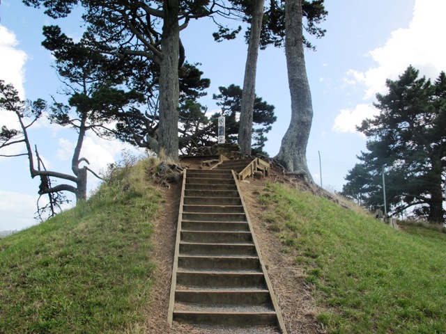
Pigeon Mountain in the suburb of Half Moon Bay is another of Auckland’s volcanoes.  The mountain was originally three times its present size but its two craters have been quarried away to provide scoria. It is called Pigeon Mountain because in early European times, native pigeons called ‘kereru‘ used to live here.

Walks in Auckland
View from Pigeon Mountain

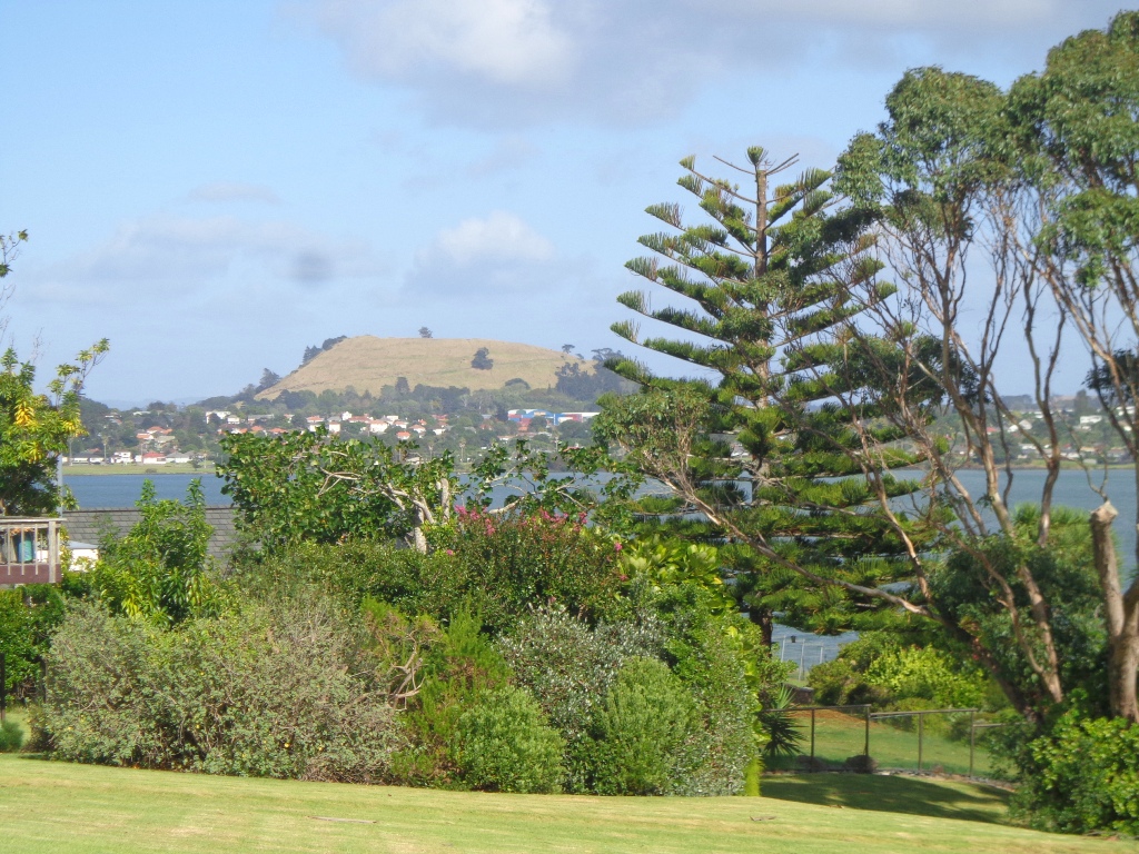
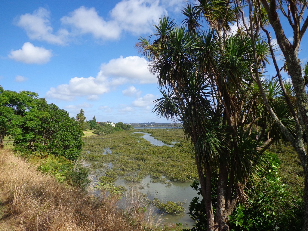
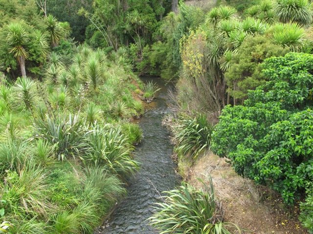
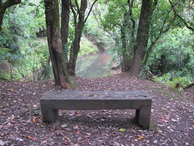
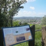
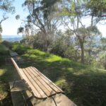
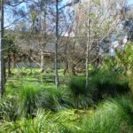
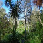
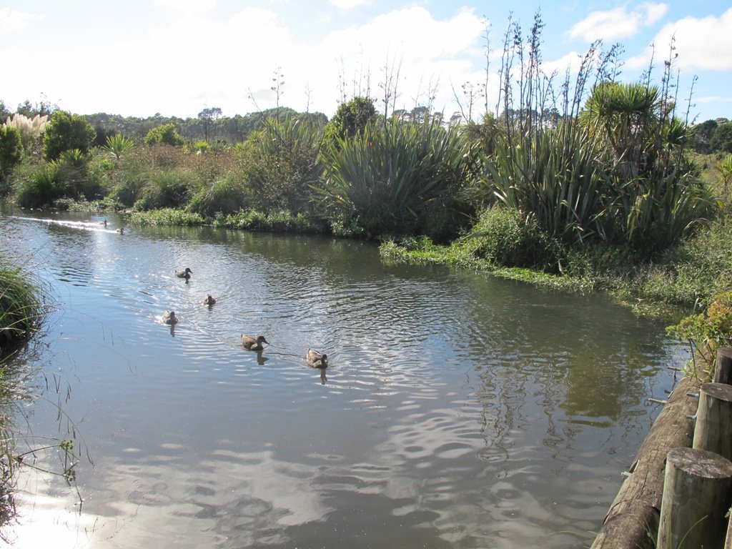
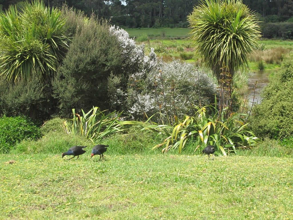
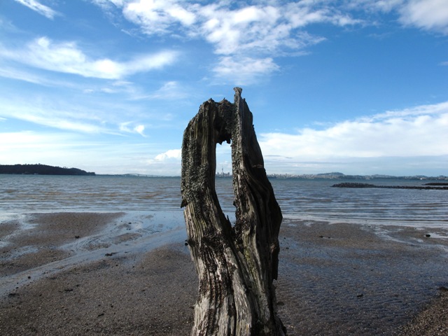
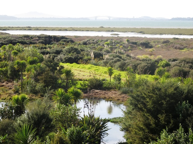
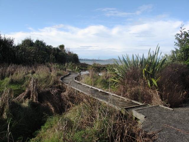
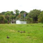
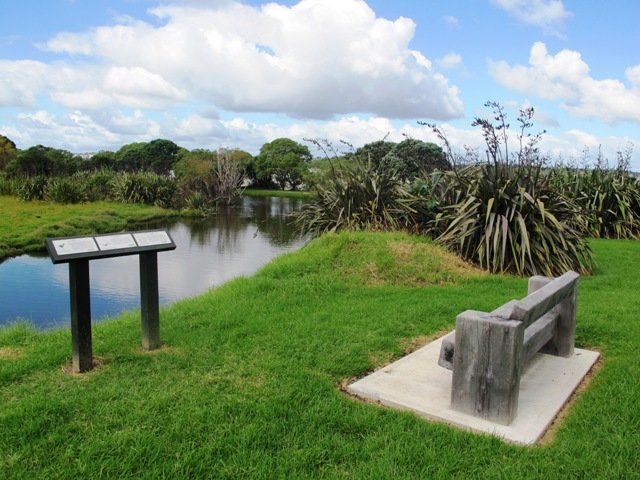
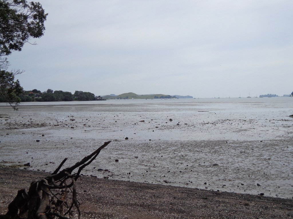
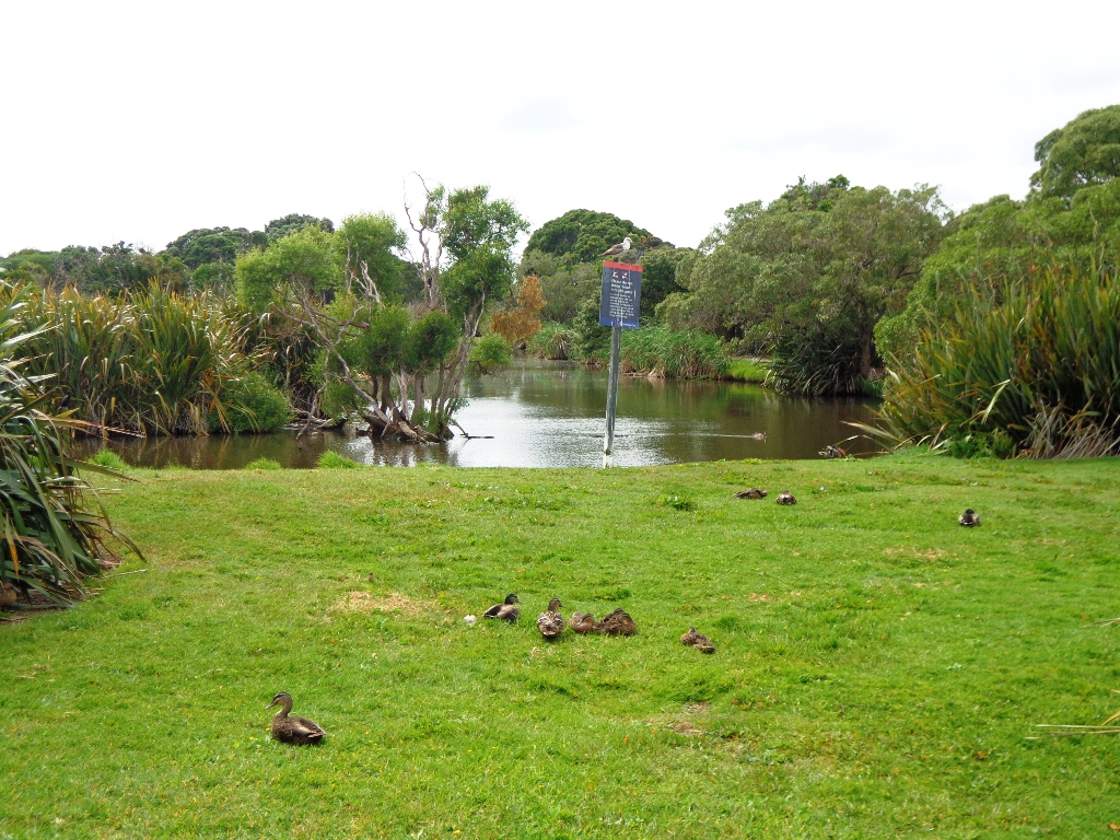
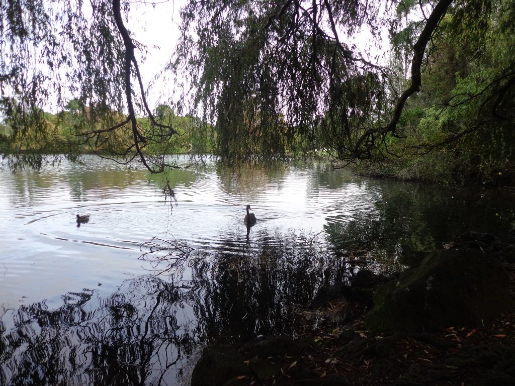
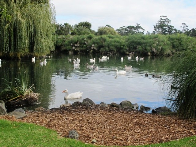
You can walk to the top of Pigeon Mountain and from the summit there are great views of Tamaki Estuary and Wakaaranga Creek Reserve mangroves, whilst below are boardwalks that cross over wetlands that house nests for the pukeko bird.

Follow the link to the Google Map of Pigeon Mountain and the associated  Wetlands walk.  We also have a second walk option for these areas here. 

Follow this link for the Short walks In Auckland alternate Pigeon Mountain Walk.

walks in Auckland

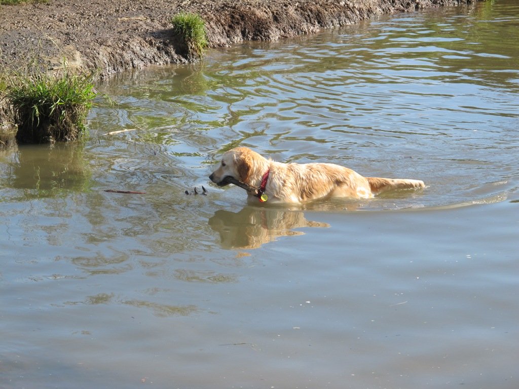
The nearby mangrove edged Wakaaranga Creek has good paths for wheels.  And there is a cool long slide in a playground that is worth checking out. Because most of this walk is in a bird reserve, dogs must be kept on-leash. However if you choose to follow the 5km Pakuranga Rotary walkway, there are several areas for off-leash exercise between the Pakuranga Sailing Club and Wakaaranga Reserve. This is a mostly flat walk if the walk to the summit of Pigeon Mountain is omitted.

Be aware that some pathways between houses and roads are iron bar chicanes that make it more difficult for wheelchairs, prams and cycles using the path.

Description: A mix of level paths, steps and slightly inclined paths. Suitable for users of average fitness and mobility. May require boots in wet weather, running shoes suitable in dry weather.
To see: Auckland City views, Rangitoto Island views, Volcano summit, wetlands, Pukeko birds habitat.
Time: approx. 75 minutes. (about 6 kms). Allow extra time to walk to the summit of Pigeon Mountain.
Start from: Gills Road just off Pigeon Mountain Road MAP

Stay on track…get your detailed guide and map over at our Walks Store  (AE-033 Pigeon Mountain and the wetlands) and our Book Store ( one of 12 walks featured in our books “Volcanoes” and “Best of the East”).

Henderson Opanuku Stream Circuit

walks in Auckland

The Henderson Opanuku Stream walk comes under Project Twin Streams. A great deal of progress has been made. It is a very pleasant short bush walk among the native trees – two giant kauris and many macrocarpas, and the sound of birds. 
This is a dog friendly walk with an off-leash area. And a mostly flat walk.

More work needs to be done on making sign posting clear to encourage more people to get out and discover what a beautiful area it is. The area would also benefit from BBQ areas and children’s playgrounds to encourage more families to enjoy the outdoors.

The walking route is also suitable for prams/buggies and dog walkers (on leash only).

This is another walk that you can get to by rail and make it a day outing as Henderson Railway Station is close by. You may like to pack a picnic or take advantage of the Henderson Cafes.

Description: Mostly level paths. Suitable for users of average fitness and mobility. May require boots in wet weather, running shoes suitable in dry weather.
To see: Trees and fauna, stream, parks.
Time: approx. 75 minutes. (about 5.2 kms)
Start: Opanuku Reserve off Henderson Valley Road MAP

Stay on track…get your detailed guide and map (AW-029 Henderson Opanuku Stream Circuit) over at our Walks Store  and our Book Store (one of 12 walks featured in our books “Urban Bush” and “Best of the West“).

Mt Albert and Meola Creek circuit

Today I was shown an interesting waterway – Meola Creek.  It is hidden between the St Lukes shopping hub and Mt Albert Grammar School. Meola Creek is the result of run-off from Mt Albert, Mt Eden and Three Kings and runs over and under ground (in pipes) out to Waitemata Harbour at Meola Reef.

Walks in Auckland

The St Lukes Environmental Protection Society (STEPS) has been very active getting Meola Creek clean, the area planted with natural habitat and a boardwalk built (Roy Clements Treeway). Elizabeth Walker, a member of STEPS very kindly showed me around.  This historic map clearly shows Meola Creek. Elizabeth has since shown me one of the sources of Meola Creek – an overgrown area covered in toxic weeds, behind Haverstock Road.  It would be wonderful to see the area restored to allow more water fowl to live there.

The view from Mt Albert across to the city skyline and the top of Rangitoto Island shows how spread out the city of Auckland is. There is an off leash dog area in Kerr-Taylor Park and a fenced off-leash area at the top of Mt Albert. (See other Dog Friendly Walks)

HISTORY. Nearby is the historic mansion ‘Alberton‘ on the corner of Kerr-Taylor Avenue and Mt Albert Road.  Further historical information can be found in the archives of the Mt Albert Historical Society here and here. ‘In old Mt Albert’ by Dick Scott (this book is available from Auckland Libraries) tells the history of Mt Albert from 1911 to 1961. You may wish to download the Mount Albert Heritage Walks brochure.

To see where Meola Creek spills out into Waitemata Harbour head to: Western Springs and Meola Reef

Description: A mix of level paths and steep paths/steps. Suitable for users of average fitness and mobility. May require boots in wet weather, running shoes suitable in dry weather. Caution: Muddy and slippery when wet.
To see: Volcano crater, boardwalk and water birds, reclaimed creek vegetation, Auckland City views, Waitemata Harbour views, glimpses of Manukau Harbour and the Waitakere Hills.
Off leash dog areas. Children’s playground.
Time: approx. 60-75 minutes, about 5.4 kms. MAP
Suggested cafesPyrenees French Delicatessen and Parkside Cafe

Stay on track…get your detailed guide and map over at our Walks Store  (AC023 Mt Albert Meola Creek) and our Book Store (Volcanoes).

12 Volcano Walks
12 Volcano Walks

Mt Albert is featured in our book “Volcanoes”. Available from AmazonShort Walks in Auckland: Volcanoes (and on Kindle)

Waiatarua Reserve – fun for all

Walks in Auckland

Waiatarua Reserve has something for everyone. The reserve is a large wetland (see the pukeko and other water birds) with paths suitable for walking, jogging, wheelchairs  (not electric wheelchairs) and cycling (paths not suitable for small wheels like scooters).

The walking route is also suitable for prams/buggies with large wheels.

It  has a children’s playground, picnic tables, viewing platforms, a Basketball half court, a Skate park.

This is a dog friendly, mostly flat walk  (watch out for puddles after rain) with an off-leash exercise area. It has been called “Auckland’s best dog park” (See other Dog Friendly Walks).

In some places, you could imagine that you are a long way from civilization, because all you can hear are the birds and all you can see are trees.

The walk is signposted to be 60 minutes long, we walked just over 3 kms, which makes it a short family friendly walk.

Description: Mostly level paths with very slight inclines. Suitable for users of average fitness and mobility. May require boots in wet weather, running shoes suitable in dry weather.
To see: Wetlands, Ducks and Pukeko birds habitat.
Time: approx. 30-60 minutes depending on what you decide (about 3.3 kms)
Start: Car park off Grand Drive MAP
Suggested Cafe: Hollywood Bakery in Lunn Avenue

Dog friendly walks in Auckland - part one


Stay on track…get your detailed guide and map over at our Walks Store  (AC-035 Waiatarua Reserve) and our Book Store (one of 12 walks featured in our book “Dog Friendly Walks part 1”).

Te Atatu Peninsula Walk

short walks in auckland

The Te Atatu Peninsula Walk provides wonderful views of Auckland harbour – the Chelsea sugar factory, the Sky Tower, Rangitoto Island and the Harbour Bridge. You could almost be on an island! And the water looks beautiful at both high and low tides, dotted with mangroves.

On the eastern side of the Peninsula, specially created salt marsh wetlands on the lower terrace at Harbourview – Orangihina provide natural habitat to an abundant wildlife (fern birds, New Zealand Dotterel, oystercatchers, herons, Caspina terns, godwit and varous gulls).

There are boardwalks and a picnic platform out over the water at Harbourview Beach Reserve.

The walking route is suitable for cyclists, prams/buggies and dog walkers (on leash only to help protect the bird life that lives around the foreshore).

Fans of the New Zealand TV series Nothing Trivial Season One may recognize Michelle’s house and her exercise path.

Description: 6.25km loop walk. Mainly level paths – a mixture of paved, loose metal and boardwalks . Caution: Puddles after rain. Suitable for most ages and levels of fitness and mobility, designed with flat shoes or running shoes in mind. Suitable for wheelchairs and pushchairs.
Children’s Playground=Yes
To see : Waitemata Harbour views, natural habitat, shore birds MAP

Suggested Cafés: Luscious Food Store and Servo

Stay on track…find this walk’s map and directions guide (AW-019 Te Atatu Peninsula) and other walk self-guides at our Walks Store and our Book Store (“Coastal Part One” and “Best of the West“).

Tahuna Torea nature walk

Tahuna Torea is a beautiful nature reserve and wetland (salt marsh and freshwater habitat) in Glendowie, East Auckland. This nature walk follows the estuary edge and through native bush. I was hoping to head there yesterday but the rain was too heavy. Today the skies cleared to reveal a warm autumn day perfect for another walk in Auckland.

The starting point is at Roberta Reserve – it is a space that children can enjoy with a playground in the corner. Roberta Reserve is an off leash dog exercise area, but no dogs are allowed within Tahuna Torea itself because of the shore and wading birds that wander freely in this conservation area.

Tahuna Torea introduces you to 25 hectares of unique wildlife sited on a long sand bank extending out into the Tamaki Estuary. It is rich in Maori history as well as native birds and vegetation. Native trees are well sign-posted and there are fabulous views of the sandspit and estuary. There are three main walking trails around the reserve and you can walk them separately or together. It is a fun bush and shore family friendly walk.

Check out the tides before you head out – at low tide you can explore the Sandspit Beach Walks and at high tide you can enjoy the beauty of the water.

Description: : A mix of level path and a steps. Suitable in dry weather. Suitable for most ages and levels of fitness and mobility, designed with flat shoes or running shoes in mind. Not suitable for wheelchairs and pushchairs.
To see: Wilderness Nature Reserve. Estuary views, sand spit, mangrove lagoon, freshwater pond, native birdlife, and native trees, Hauraki Gulf views. Bring binoculars to view birdlife.
Time: approx. 45 minutes. Allow extra time to explore.
Start: On corner of Robert Ave and Riddell Road. MAP

Suggested Café:
Ronnies, Corner of Riddell Road and Roberta Avenue (they do great iced coffees!)

Stay on track…get your detailed guide and map over at our Walks Store  (AE-010 Tahuna Torea) and our Book Store (one of 12 walks featured in our books “Urban Bush”,  “Coastal part one” and “Best of the East”).

Western Springs and Meola Reef

It was great to see so many people, with their children and their dogs, out enjoying walking today at Western Springs and Meola Reef.

Other things to do here are to visit the Auckland Zoo and MOTAT – Auckland’s Museum of Transport and Technology. And have a tram ride!

Western Springs Park has a warm spot in my memories. My son loved coming here when he was little. He would ride his tricycle (and bicycle when he got bigger) around this man made lake. He had special places where he would have to stop to participate in the imaginative story he had going on in his head with characters from books we used to read.

Western Springs has a mostly level path suitable for wheelchairs, pushchairs and children’s scooters and trikes. There are ducks, geese, swans and eels to feed, so be sure to bring your bread scraps. And there is a fabulous playground with a BBQ area nearby. “Timespanners” view: War, water and birds at Western Springs

Meola Reef  is Dog walk friendly with off-leash areas – dogs romp around in a big wide open area. This is a mostly flat walk, apart from one lot of steps in Jaggers Bush.

And when your dog gets tired, there is a seat to rest on…

There are two great places to enjoy your picnic – on the many picnic tables in Western Springs, or out at the point of Meloa Reef.

Unfortunately there is not a cafe within walking distance. But there is a van that sells coffee in a paper cup and icecreams in a cone just by the entrance to Western Springs from the Zoo carpark and not far from the children’s playgrounds. (Weekends only, not July and August).

To see where one of the sources to Meola Creek begins, head to: Mt Albert and Meola Creek

Description: Mainly level paths plus steps. Suitable for most ages and levels of fitness and mobility, designed with flat shoes or running shoes in mind. Not suitable for wheelchairs and pushchairs.
To see: Waitemata Harbour views, a natural spring-fed lake with ducks, swans, geese and long-finned eels; stream, trams, planes.
Time: approx. 90 minutes. (about 7 kms)
Start: Great North Road (Western Springs gardens) opposite Western Springs. MAP

Stay on track…get your detailed guide and map brochure (AC-011 Western Springs – Meola) over at our Walks Store  and our Book Store ( one of 12 walks featured in our three books “Volcanoes”, “Coastal part 2”, “Dog Friendly part 1”).