Category Archives: Auckland Coastal Walks

Auckland’s site on the isthmus between the harbours of Waitemata and Manukau, provides many coastal walking tracks alongside estuaries, inlets, streams and the Hauraki Gulf.
We have compiled a selection of 24 coastal walks into two books – Coastal part one and two. These books are available from Amazon and your local library.

Manukau Harbour coastal walks

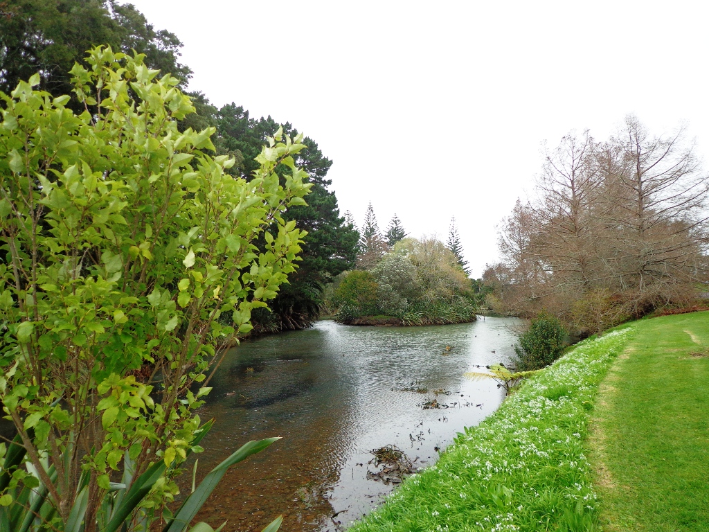
Manukau Harbour has many nooks and crannies to explore. Here are 10 places where you can walk beside Auckland’s Manukau Harbour and enjoy the diverse and unique landscapes.

The Manukau Harbour Restoration Society is working to restore and reinvigorate Manukau Harbour, and if you are interested in helping, you can find out more here.
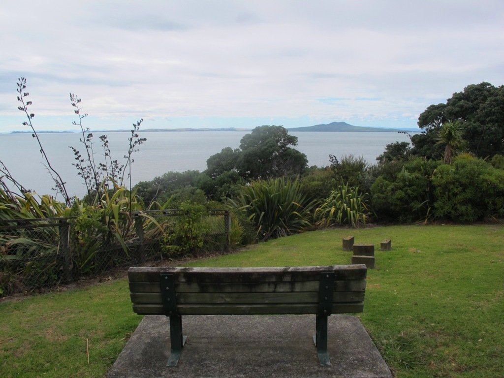
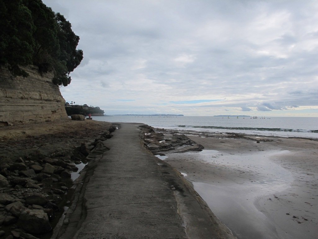
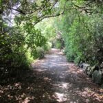
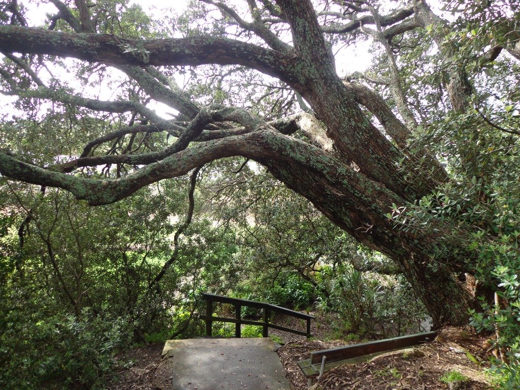
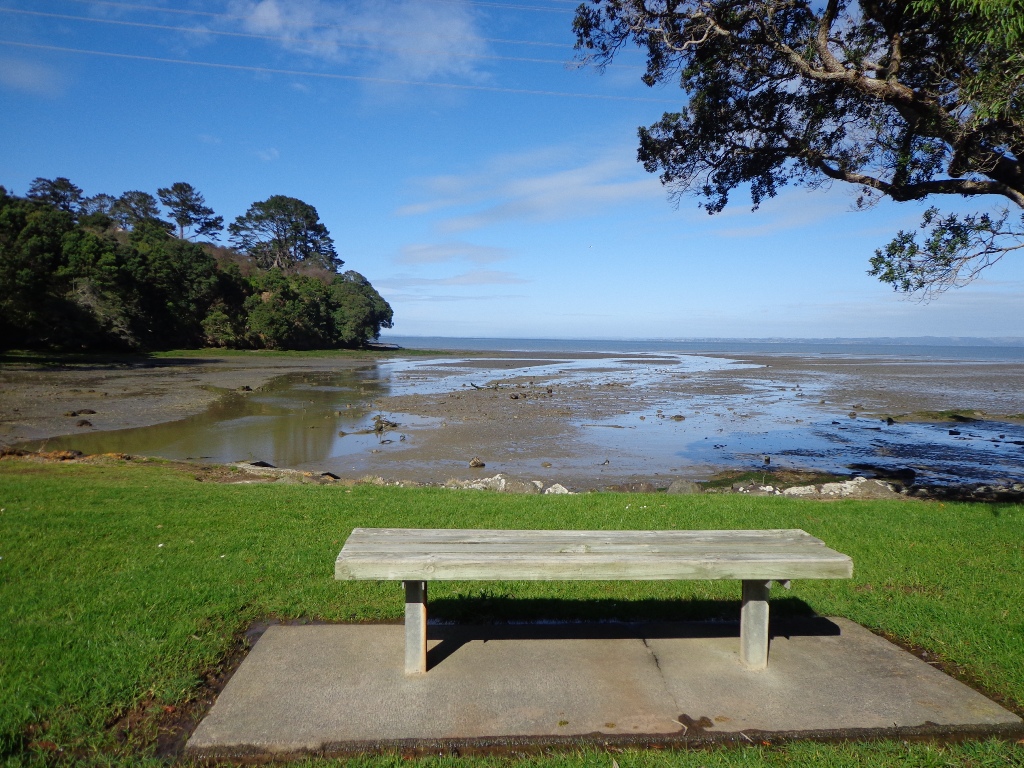
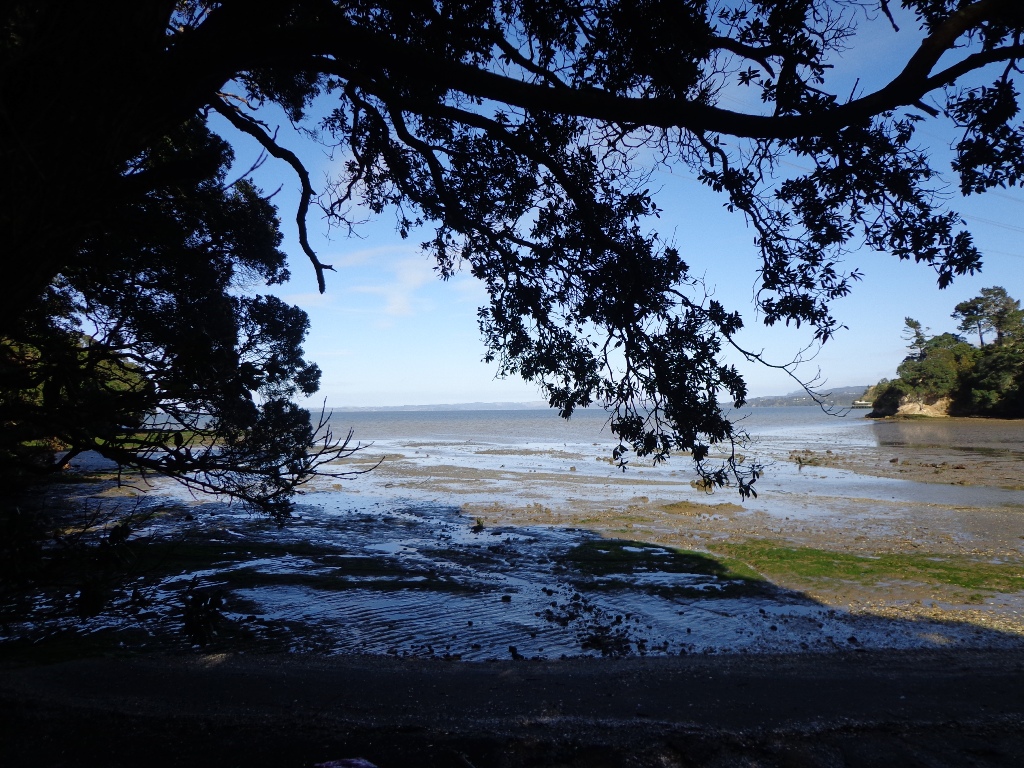
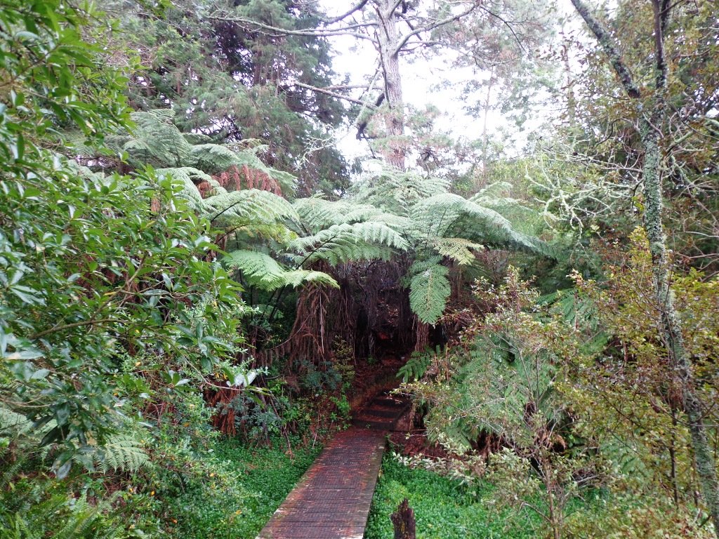
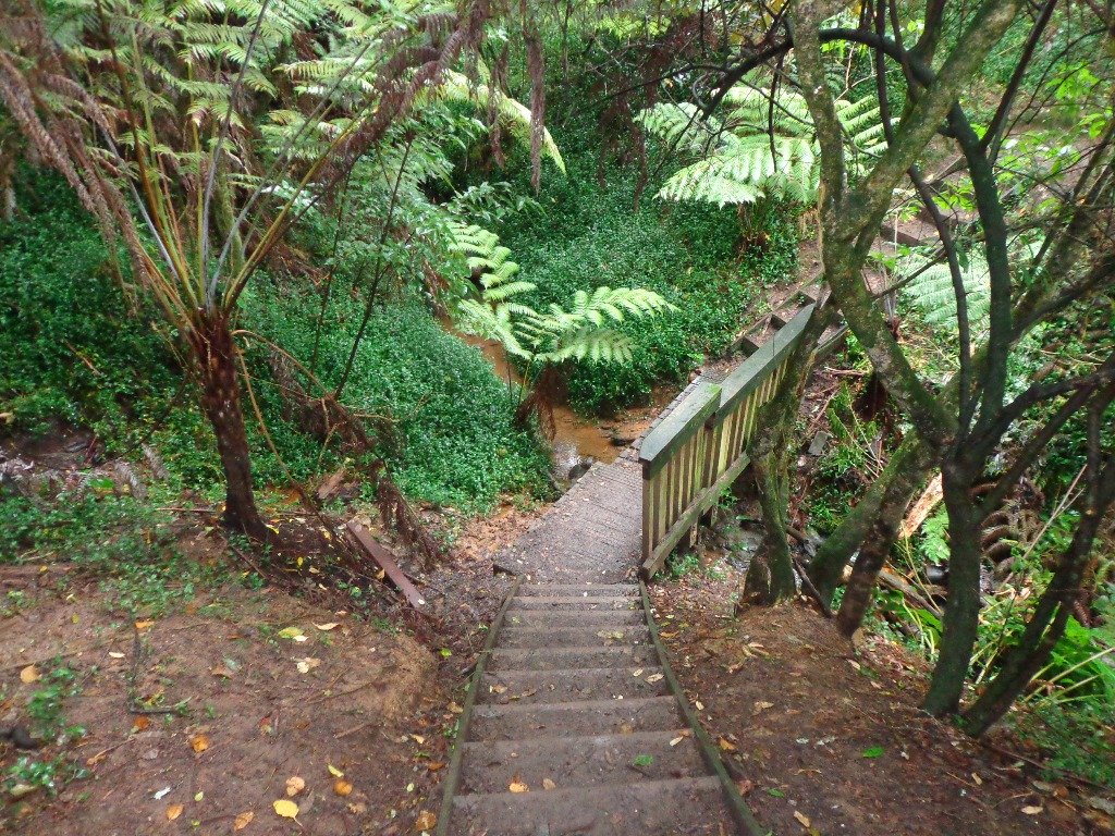
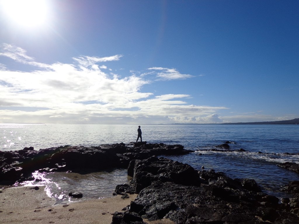
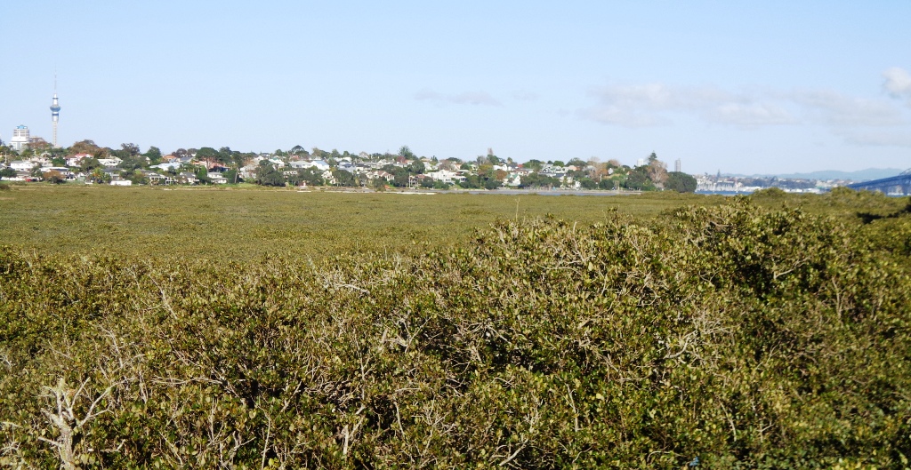
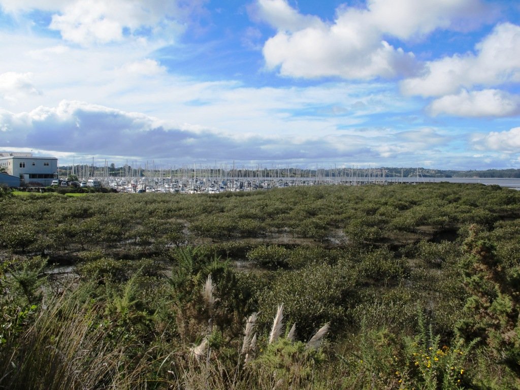
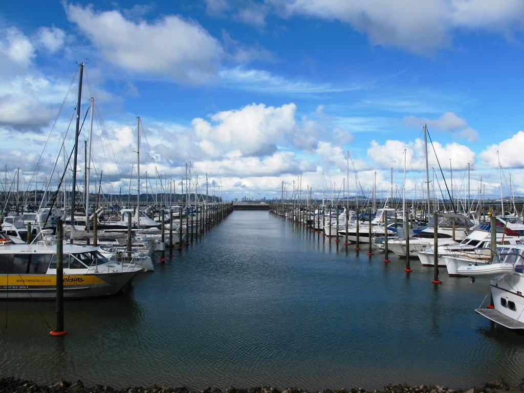
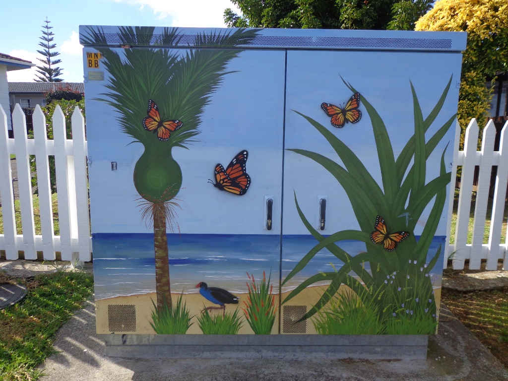
Blockhouse Bay The Pathway of Tiriwa © 2011-2013 Unleashed Ventures Limited

We have two walks in Blockhouse Bay Blockhouse Bay Tiriwa walk and Blockhouse Bay circuit, where the bush meets the sea.

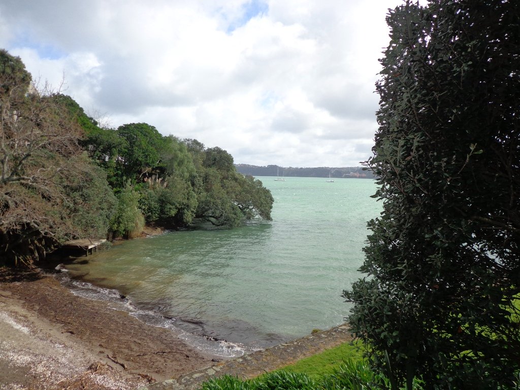
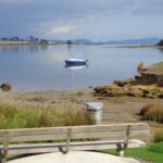
Next one along is the Lynfield Coastal Walk.


View of Manukau harbour
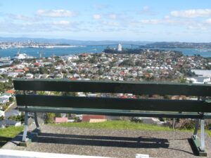
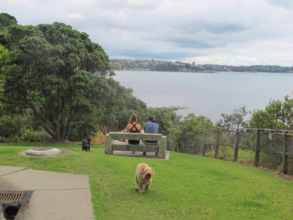
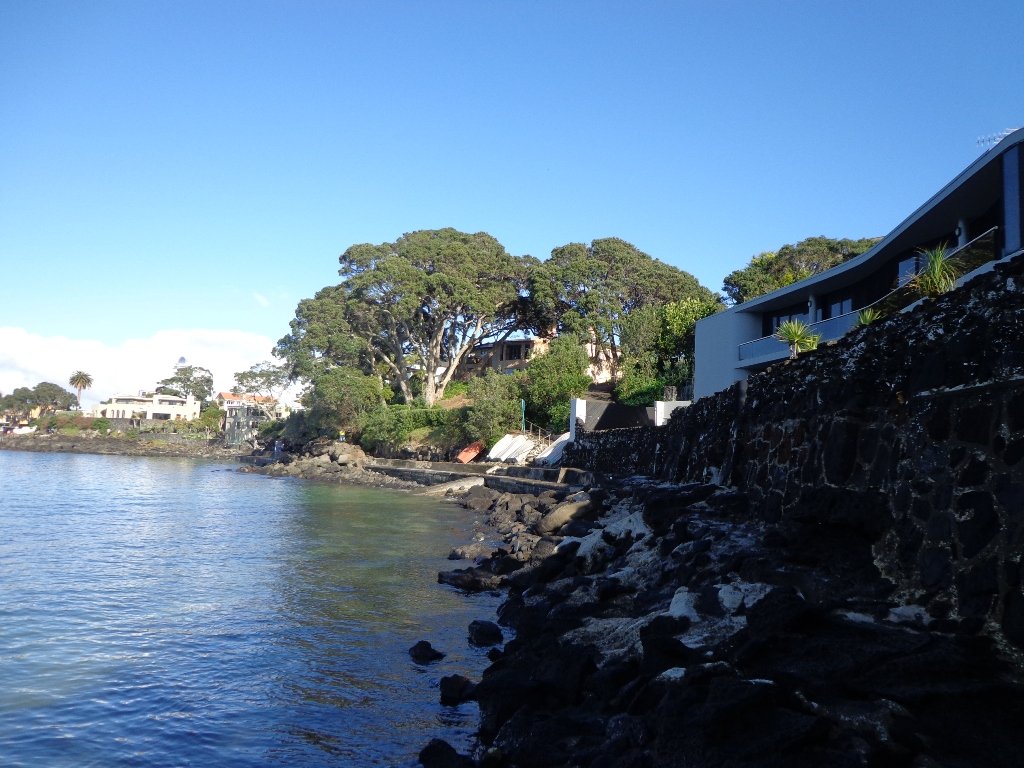
Hillsborough Cemetery is perched on the hill above Hillsborough Bay with a view over to Mangere Mountain. Walk down through the cemetery and reserves to the bays below before starting the upward climb. Hillsborough Cemetery and the Bays Loop Walk


View of Mangere Mountain from Onehunga Foreshore

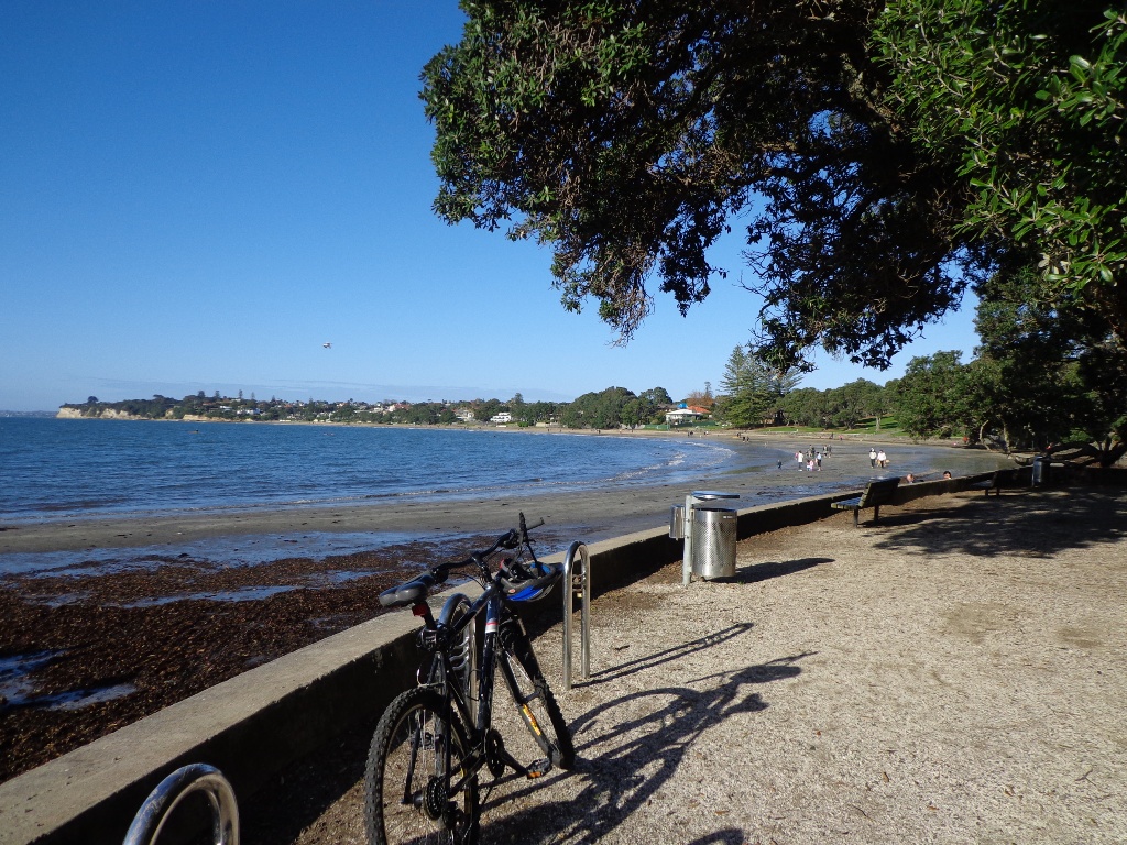
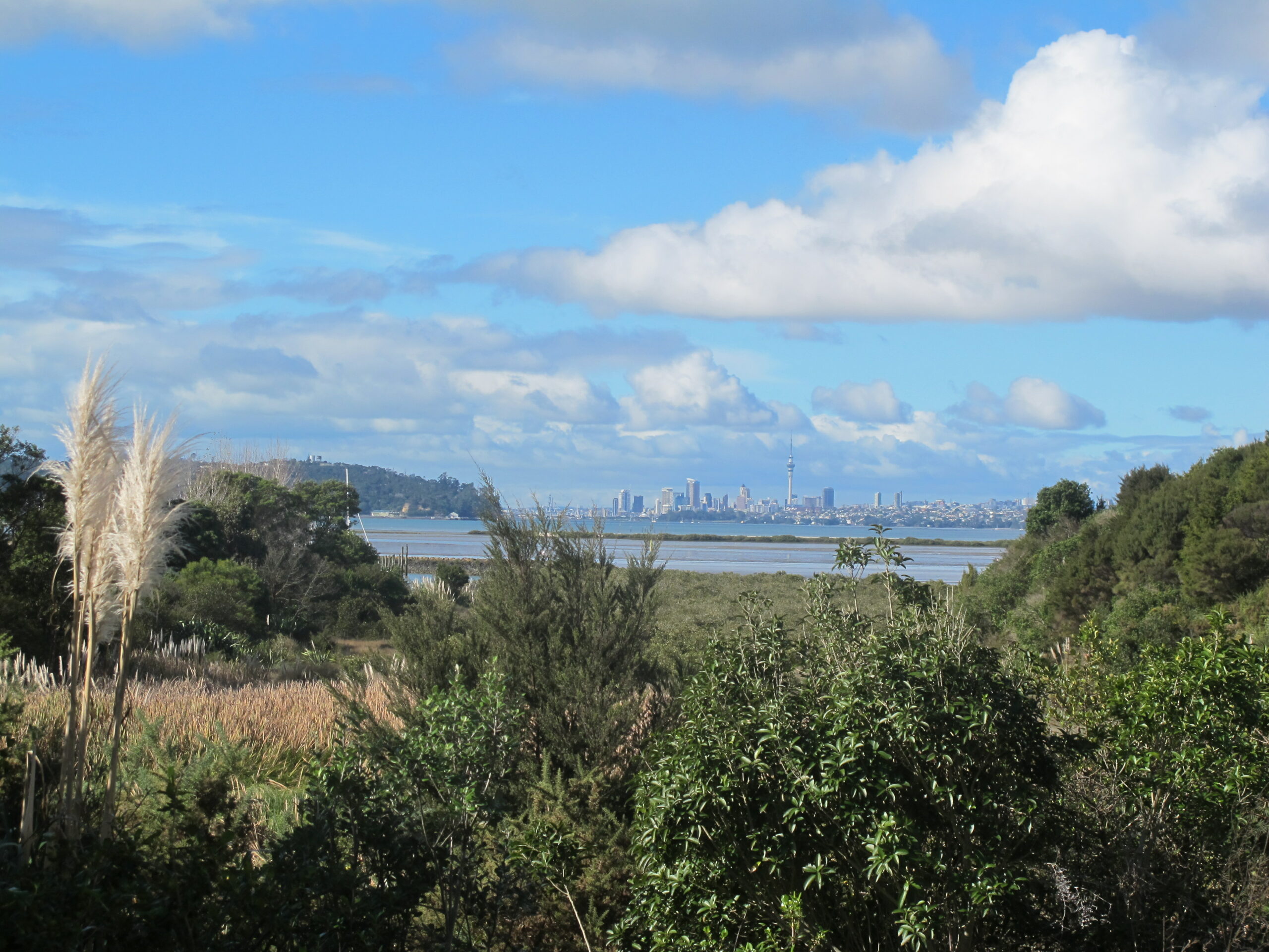
You can choose to do the Onehunga Foreshore walk – works in progress as the shore is being reclaimed for a beach, or cross Manukau Harbour over Mangere Bridge to get to Onehunga on the Mangere Bridge to Onehunga Loop Walk


Mangere Bridge ©2013 walksinauckland.com
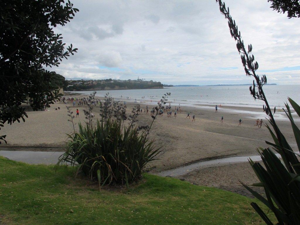
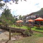
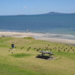
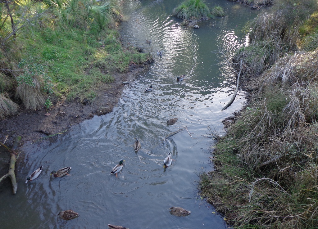
There is a choice of 5 walks around Mangere Bridge :- Mangere Bridge walks. You can do them as separate walks or join them up to make a bigger loop.  Enjoy the bird life, farm animals, and the views from Mangere Mountain. You may also wish to visit the Otuatau Stonefields  to get an idea of how people once lived and worked.


walks in Auckland
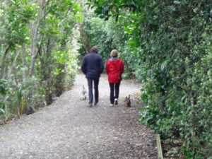
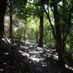
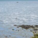
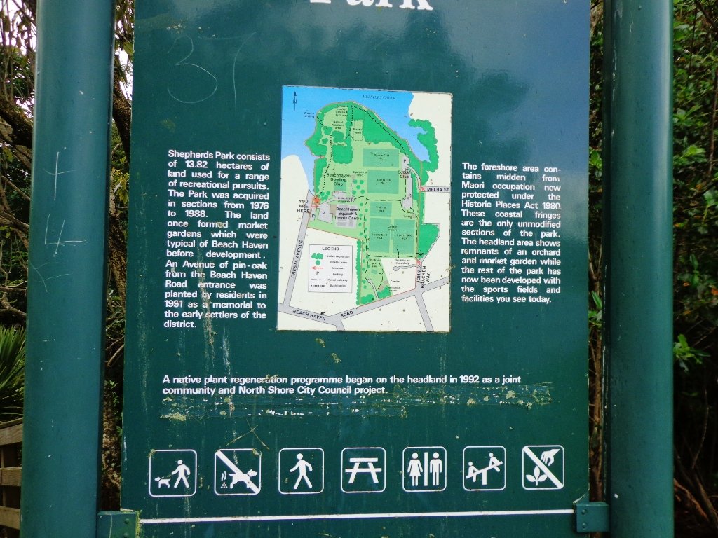
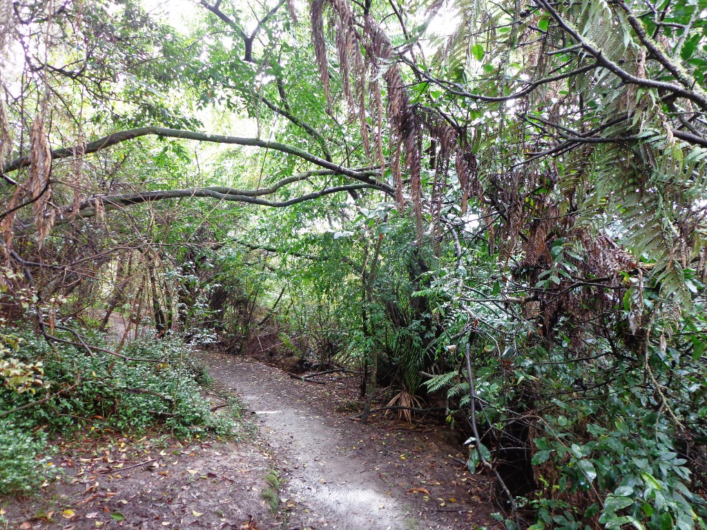
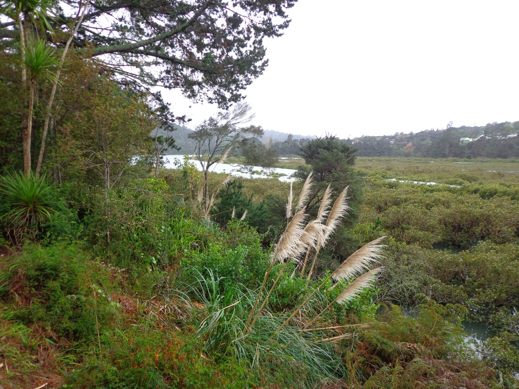
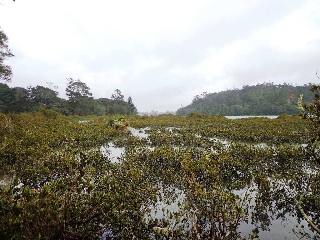
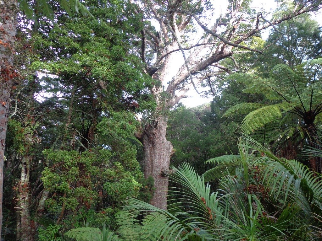
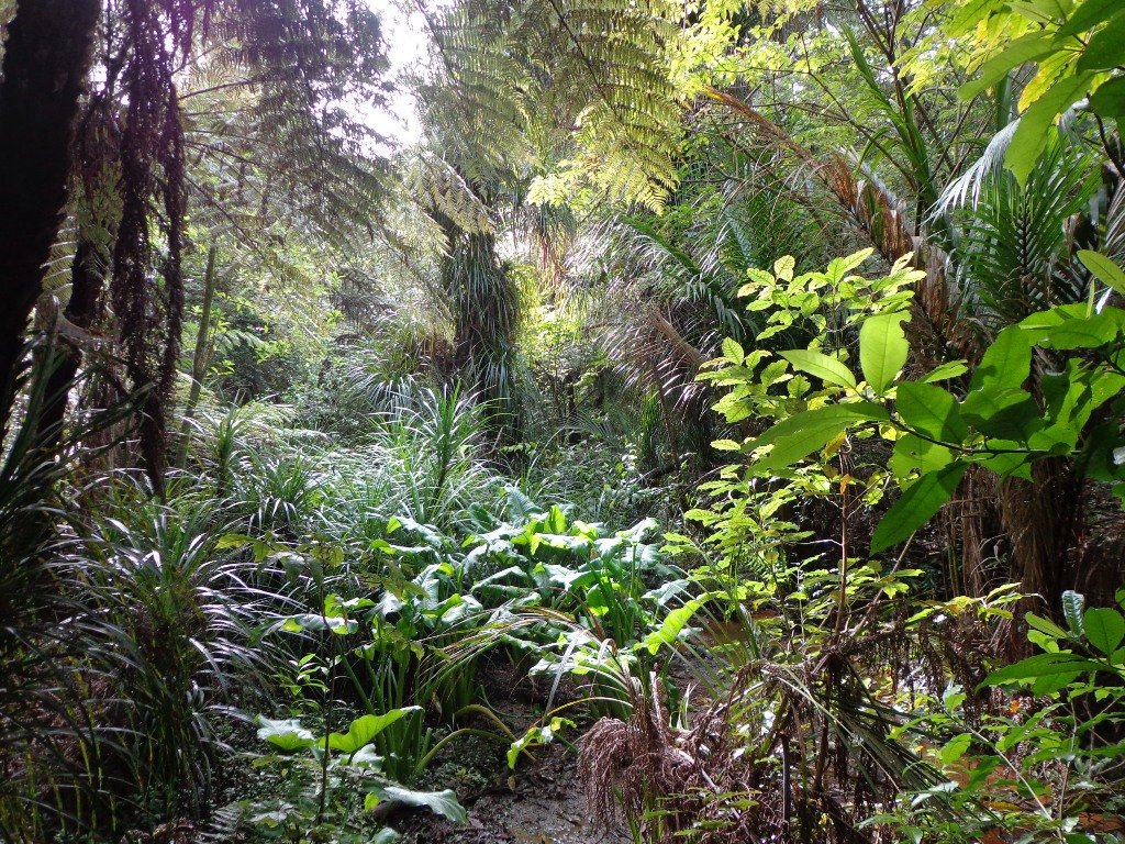
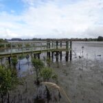
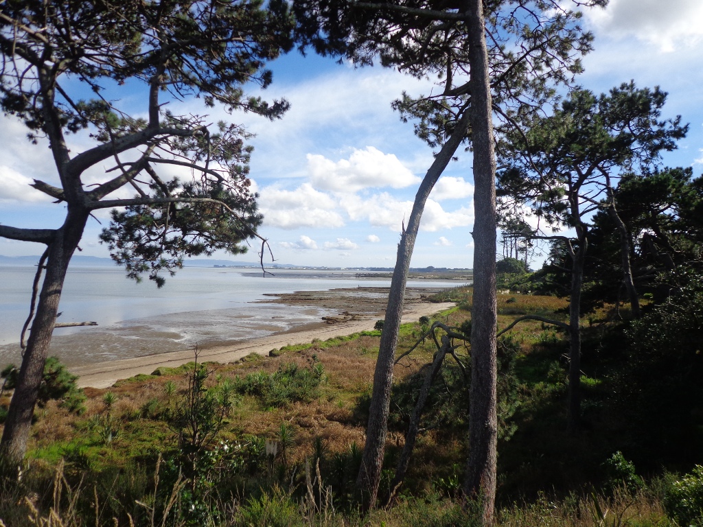
Puhinui Reserve Walkway is an interesting and wild place to visit. There are limited amenities here, so take a picnic if you plan to take your time to explore.


Weymouth Walkway Copyright 2014 Unleashed ventures Limited
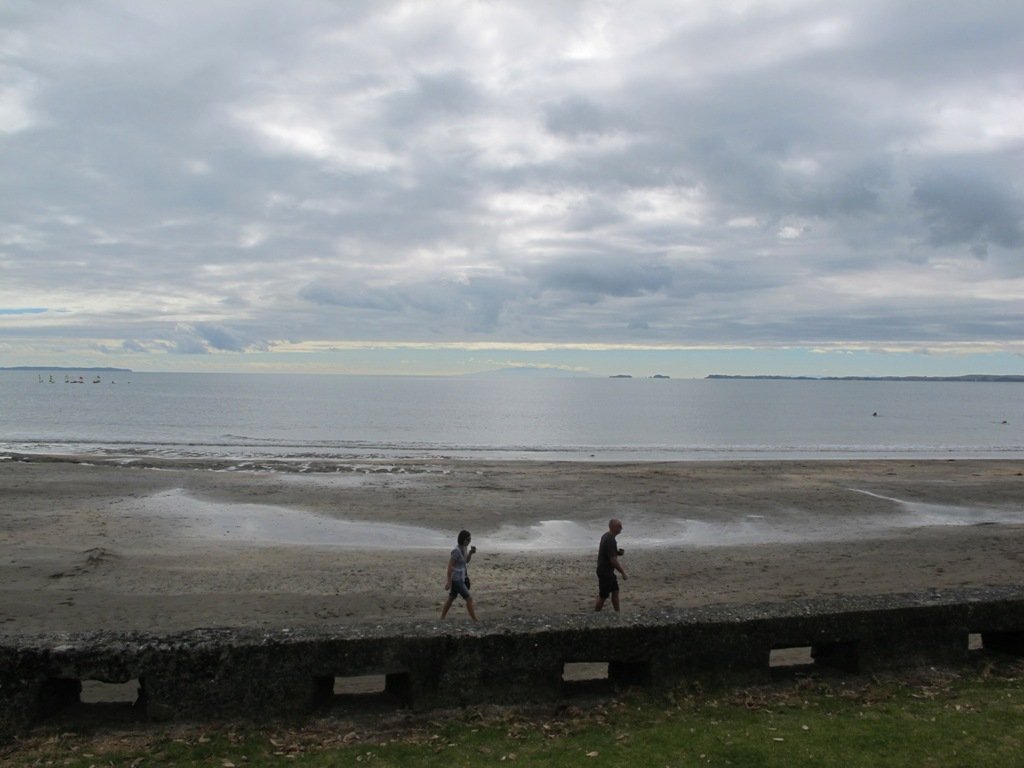
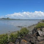
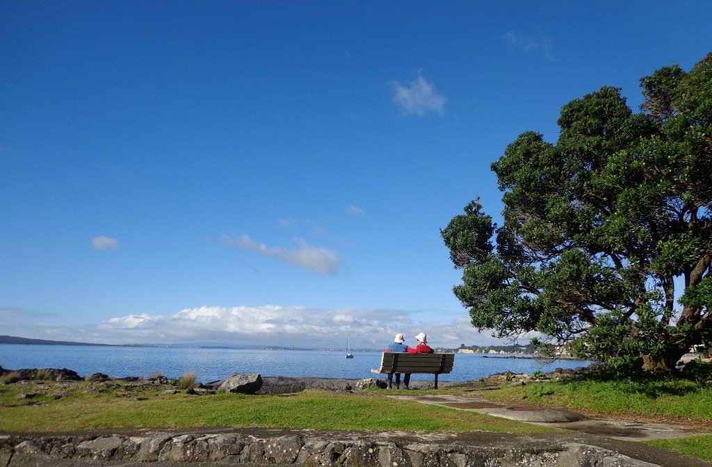
Heading down along the coast we reach Clendon and Weymouth, where the Weymouth Walkway Loop provides fine views across the harbour, looking back to some of the places above.


Wattle Downs walkway © 2013 Unleashed Ventures Limited
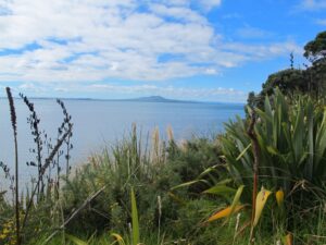
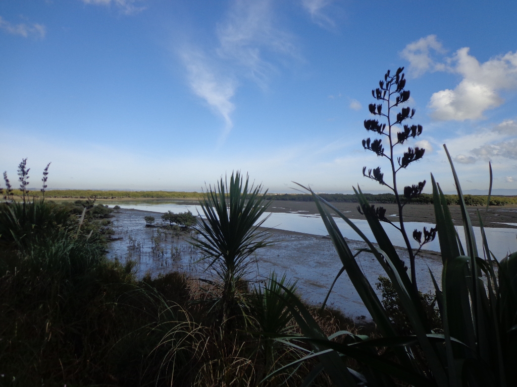
The Wattle Downs Walkway goes around the edge of the peninsula that extends into Manukau Harbour, at one spot there are views through to Manukau Heads.


Conifer Grove Circuit © 2013 Unleashed Ventures Limited. All rights reserved
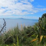
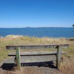
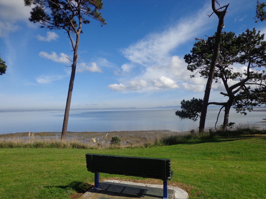
And here we are at the last stop, where the walk along Conifer Grove Esplanade offers views across Manukau Harbour north to Wattle Downs and south to Karaka.

Auckland Council also provides a list of Manukau coastal walks.
We hope that you are now inspired to get out and explore our very special Manukau Harbour. Find some of these and other coastal walks in our books – Coastal Part 1 and Coastal Part 2.

Weymouth Walkway Loop

Weymouth Walkway Copyright 2014 Unleashed Ventures Limited

The Weymouth Walkway south of Auckland, is a mainly flat (suitable for wheelchairs and pushchairs), concrete paved path that follows the coastline of Manukau Harbour and the Puhinui Creek mangrove forest inlet.  At low tide you may be lucky to see the shore birds while you explore the exposed rock pools.  The views at high tide on a fine day are spectacular – look west to see Manukau Heads, north to Matukutūruru (Wiri Mountain) and south to Kingseat.

There are reserves and playgrounds adjacent to the walkway that lend themselves to picnics and places to stop to breath in the beauty. The walking route is also great for cyclists, prams/buggies.

We looked for signs for dog walkers but saw nothing to indicate on or off leash areas. However, in the “Our Auckland May 2014” publication page 18,  it states: “Dogs must be kept under control and away from local wildlife, and are not permitted on adjacent sports fields or near playgrounds.”
Please check with Auckland Council for the current dog rules.

Description: Mostly level paths. Suitable for most ages and levels of fitness and mobility, designed with flat shoes or running shoes in mind. Suitable for pushchairs.
To see: Manukau Harbour coastal views, shorebirds, mangrove forest, historical sites.
Time: approx. 90 minutes (about 7.5kms). Plus exploring time.
Start:  Hanford Place, Clendon.  MAP

Best of the South: Short walks in Auckland

Stay on track…find this walk’s map and directions guide (AS-101 Weymouth Walkway Loop) and other walk self-guides at our Walk Store and from our Book Store: one of 12 walks in our book “Best of the South”.

Walks around Devonport Auckland

Devonport is one of our favourite places to walks in Auckland. The combination of harbour and city views, Victorian style homes and fabulous cafes makes it an enjoyable place to visit.

We have put together three one hour loop walks starting from the Devonport ferry terminal.

Walks in Auckland North Head Devonport © 2011-2013 Unleashed Ventures Limited
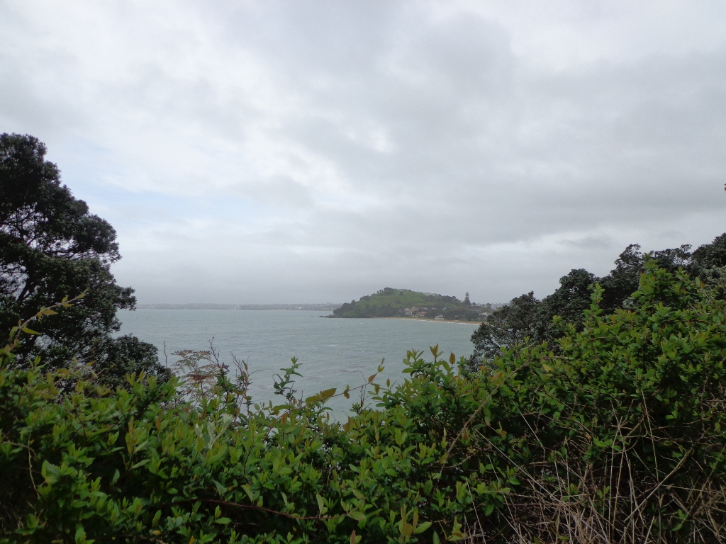
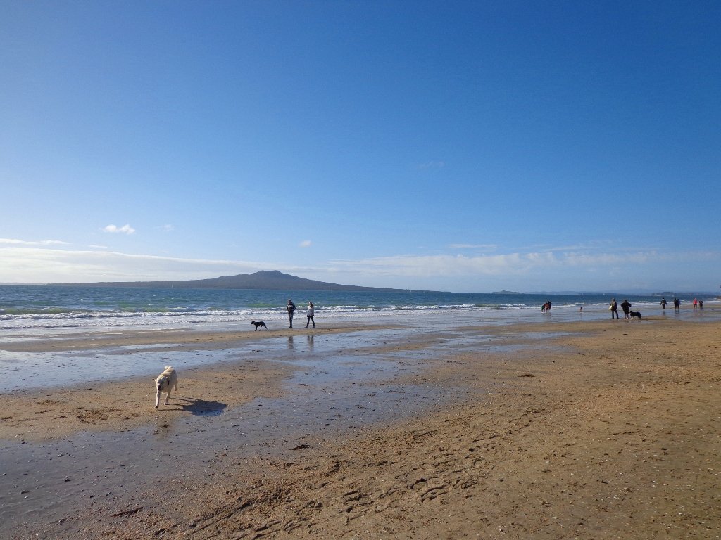
Devonport to North Head. Take your torch for the tunnels and your camera to capture the views across the Gulf!


Read more: Devonport and North Head Loop Walk


Walks in Auckland
Mount Victoria, Devonport

Devonport to Mt Victoria. Spectacular views, historical cottages and interesting shops on this loop walk.


Read more: Spectacular views from Mt Victoria Devonport

Devonport © 2011-2013 Unleashed Ventures Limited
Devonport to Ngataringa. Walk along the esplanades and parades of Devonport with the view across the Gulf and to the skyline of the city and beyond. Take the time to admire the beautifully kept Victorian style homes. Followed by the sounds of birds as you walk alongside Ngataringa Park. Read more :Devonport Ngataringa Loop


Mairangi Bay Loops

The clifftop and beach loop walks starting at Campbells Bay and taking in Mairangi Bay, and Murrays Bay and part of Rothesay Bay on Auckland’s North Shore provide stunning views over the Hauraki Gulf and Islands.

Maurangi Bay Loops Copyright 2014 Unleashed Ventures Limited

The beach walkway is dependent on weather and tides (check tides here).

Today the beach at Maurangi Bay was busy with sailors, surf lifesavers, swimmers and paddle boarders.

People were out walking their dogs – and the dogs looked very happy racing around off the leash along the cliff paths. Be sure to check out the Auckland Council dog rules for the North Shore beaches here.

Dogs are allowed under control off-leash at any time at Churchill Reserve Beach (Rothesay Bay).

The walkways do have steps so a good level of fitness is needed.

Description: Mostly level paths with some steps and one steep climb. Suitable for most ages and levels of fitness and mobility, designed with flat shoes or running shoes in mind. Not suitable for pushchairs. Not recommended at high tide.
To see: Coastal views.
Time: approx. 80 minutes (about 6.65 kms).
Parking:  View Road, Campbells Bay. MAP

Stay on track… Find this walk (AN-098 Mairangi Bay Loop) and other walk brochures with map and directions at our Walk Store

Mangemangeroa Valley Walkway

Today we headed south along the Mangemangeroa Valley Walkway – previously we had walked north to Shelly Park Beach.  Today started off overcast but the sun came out, and there was a cool breeze.  The breeze was very welcome when we were walking uphill in Hayley Lane and at the end of the Rotary Loop.

Mangemangeroa Valley Walkway © 2011-2014 Unleashed Ventures Limited All Rights Reserved

We started off at the barn in Somerville Road (MAP) and turned right.  It was good to see new maps and direction posts have been erected since our last visit, one year ago.  A lot of work has also been done with the planting of flax and cabbage trees – where this is done it will be a joy to see the rejuvenation of the native bush. We were pleased to see young kauri trees growing strongly. We walked up the steep hill of Hayley Lane, along Point View Drive, then back down the steep steps to rejoin the path, then followed the next turn left up the steps of the Rotary Loop to return to the start – a length of just over 5kms.

This walkway is very pleasant and perfect for a day walk and picnic, if doing the full length. Get the Auckland Council brochure here.

We drove onto Whitford for refreshments beside the Turanga River at Amy’s Kitchen.

Maraetai and Omana loop walk

Today was our first walk around the 3 km perimeter of Omana Regional Park near Maraetai (pronounced my-right-eye). The walk itself was pretty uninteresting apart from the view looking back to Auckland City. However, the walk along the coastline from Omana Beach to Maraetai Beach was much more interesting.

Maraetai and Omana loop walk © 2011-2014 Unleashed Ventures Limited All Rights Reserved

The weather was brilliant and it was fabulous to see so many people out enjoying themselves in and on the beautiful blue clear water, as well as picnicking on the grassy shore in the shade of the pohutukawa trees. The tide was high (actually a “king” tide) which added to the beauty.

The shared pathway/cycleway between Maraetai and  Beachlands is very scenic, and suitable for family cycle rides.

Description: Mostly level paths, with a few short steep bits. Gravel and sealed track/paths.  Sturdy footwear recommended for Omana loop.
Suitable for most ages and levels of fitness and mobility, designed with flat shoes or running shoes in mind.
To see: Farmland, bush, coast, boats.
Time: We did the Omana perimeter loop (3kms) and walked to Maraetai return (5kms).
Start:  Either from Maraetai or Omana Beach Road. Map

Click here for  Omana Regional Park map.

The combined walks of Maraetai and Omana lived up to our expectations of a diverse walk – farmland, bush, coast, boats and village.
Click on photo to enlarge.

Manukau Foreshore Walkway/Cycleway

When our two children were young, my husband and I would load up all our bicycles to venture out onto the Manukau Foreshore Walkway/Cycleway that runs between the Mangere Bridge to Hugo Johnson Drive in Penrose.  Since then Grace and I have done the walk  – to the end and back.
Manukau Foreshore walkway/cycleway © 2011-2013 Unleashed Ventures Limited All Rights Reserved
Today we explored the possibility of a circular walk taking in the industrial part of Penrose. While it is rather beautiful along the foreshore, the other half of the walk that took us through the Penrose industrial area is not at all pedestrian friendly.

It is a shame that a walkway was not planned and catered for within the industrial area, not only for the people who work there, but for visitors as well.

Another issue we came across was the walkway that is designated “no cyclists” at the Hugo Johnson Drive end, was unkempt and covered in all kinds of noxious weeds (which I have alerted Auckland Council about).

For the first time we looked in at Southdown Reserve (near the Southdown Power Station) – a very seedy looking reserve that I would not enter on my own.

We will not be documenting this walk.  MAP

On a bright note, the morning rain clouds dissipated, the sun emerged providing blue skies, the view of Mangere Mountain and Manukau Harbour was great, the birds were singing in the bush areas, and the shore birds were out in force in the lowering tide. And to top it off, we enjoyed each other’s company! (Followed by a very nice lunch at The Library Cafe in Onehunga – note new owners as of a week ago).

Devonport Narrow Neck Loop

Narrowneck Beach © 2011-2013 Unleashed Ventures Limited

The dark grey sky and strong winds did not bode well for our walk from Narrow Neck Beach (north of Devonport) to Ngaratinga Bay – a mini coast to coast loop. However, we did stay dry and the walk was invigorating and very enjoyable with plenty of interest along the route.

Fort Takapuna Reserve stands guard above Narowneck Beach and is one of four off leash dog exercise areas. The other off leash areas are: Ngaratina Park, Woodall Park and Cambria Reserve. Cheltenham Beach is off leash at certain times.

From Fort Takapuna Reserve there is a good view across Cheltenham Beach to North Head.

There is only a little of street walking and that provides a peek at the pretty Victorian style houses that Devonport is well known for.

If you have time, you may wish to stop at the Devonport Museum – you will pass by the entrance along the route.

Description: A mix of level paths, steep paths and steps. Suitable for most ages and levels of fitness and mobility, designed with flat shoes or running shoes in mind. Not suitable for wheelchairs and pushchairs.
To see: Wonderful Hauraki Gulf and Auckland City views, views of North Head and Mount Victoria, historical buildings & sites, Victorian style homes.
Time: approx. 60 minutes (about 5.5 kms).  Dog off leash areas. Children’s playgrounds.
Start:  Old Lake Road, Narrow Neck. MAP

Stay on track…find this walk’s map and directions guide (AN-090 Devonport Narrow Neck Loop) and other walk self-guides at our Walk Store

Westhaven Loop Walk

It has been a while since we have headed down to Westhaven and Point Erin Park.  We found three good reasons to make a return visit. It seemed appropriate to be down at Auckland’s waterfront while TeamNZ was enduring their second race of the competition for the America’s Cup! We had watched the new pedestrian bridge crossing the motorway from the steep steps of Jacob’s Ladder being built, but still had not traversed it.  And the dark grey clouds threatened rain and we did not want to be a long way from shelter.

Westhaven Pedestrain Bridge

And the results were…TeamNZ won their second race, the pedestrian bridge looks better when you are on it and we stayed dry!

Since we last visited,  the Council has built a new pathway that runs alongside the motorway, with panels that effectively screen the motorway traffic noise. It promises to be beautiful in December when the red flowers of the pohutukawa trees are in bloom.

Dogs – this walk includes an off leash dog exercise area.

Westhaven Promenade - short walks in Auckland

30th January 2015: The Westhaven Promenade is now open. This will form part of a 20km continuous walkway and cycleway that runs from Herne Bay in the west to Tamaki Drive in the east. Read more: Westhaven Promenade

Description: Mainly level paths, two flights of steps. Suitable for users of average fitness and mobility. Running shoes suitable.
To see:  Auckland City views, Rangitoto Island views, harbour views, Harbour Bridge.
Time: approx. 45 minutes. (about 4.24 kms).
Point Erin Park for Dog off leash area, Playground, Picnic site. Children’s scooter friendly apart from the steps.
Start: Westhaven Drive, Saint Mary’s Bay (Harbour Bridge end) MAP

Dog friendly walks in Auckland - part three

Suggested cafe: Sitting Duck

Stay on track…get your detailed guide and map over at our Walks Store  (AC-088 Westhaven Loop) and our Book Store (one of 12 walks featured in our book “Dog Friendly Walks part 3”).

Lynfield Coastal Walk

The views across to Blockhouse Bay and Manukau Heads in the far distance along the Lynfield coastal walk this morning, were spectacular! The sun was shining, the sky was clear and the tide (check here for tide times) was almost full.

Lynfield Coastal Walk © 2011-2013 Unleashed Ventures Limited

This was an explore walk for us – trying to work out the best circular route without too much street walking.  The route has a few steep ups and downs, which makes it a good workout. We met some people who were walking their dog off leash along the reserve.

July 2016 Update: The sculpture “Open Stone” by late Japanese sculptor Hiroaki Ueda is now on view in the Manukau Domain, Lynfield.

Description: Bush track, steps, inclines. Muddy in places when wet. Suitable for users of average fitness and mobility.
To see: Native bush, views across Manukau Harbour, native birds.
Time: approx. 45 minutes. (about 3.75 kms). One small children’s playground. Dog friendly off-leash in Manukau Domain (alongside the Lynfield Cove Walkway).
Parking: Himalaya Crescent, Lynfield.
Buses: Halsey Drive, Lynfield MAP

Stay on track…find this walk’s map and directions guide (AC-086 Lynfield Coast & Bush Walk) and other walk self-guides at our Walk Store.

Beach Haven Coastal Walk

The Beach Haven coastal walk on Auckland’s North Shore hugs to the coastline with views to Bayview, Hobsonville Point and the bush that runs alongside the Upper Harbour Highway. The route follows Hellyers Creek, then all the twists and turns of the small mangrove-filled inlets, and through trees filled with birdsong.

Beachaven Coastal walk © 2011-2013 Unleashed Ventures Limited

Today was rainy and windy – the yachts sailing out from Hobsonville Point were making the most of the winds.  But we were sheltered by the trees and small gullies.

This walk begins at the Community Creche entrance to Shepherd’s Park, where there is a children’s playground  a cyclists learning track and a fitness trail, as well as sports fields. The signs indicate that dogs must be kept on-leash (but we did see dogs off leash along coastal walkway).

If you wanted to make this a day outing, you could catch a ferry from Britomart to Beach Haven.  Bring a picnic lunch.

Description: Bush track, steps, inclines. Muddy in places when wet. Suitable for users of average fitness and mobility.
To see: Native bush, views across Auckland Harbour, native birds.
Time: approx. 60 minutes. (about 5.0 kms)
Parking: Beach Haven Community Creche carpark.
Buses: Tramway Road stop on Beach Haven Road.
Ferry: to Beach Haven MAP

Cafe suggestion: CAFE AU BON COIN CAFE PATISSERIE

Stay on track…find this walk’s map and directions guide (AN-084 Beach Haven Coastal Walk) and other walk self-guides at our Walk Store.

Bayview Giant Kauri Walk

***** ATTENTION Kauri Dieback has been identified on Auckland’s North Shore. Auckland Council will look to close tracks soon. As this Kauri tree in Lynn Reserve is the largest Kauri on the North Shore, and of significance to our community, you are asked to not visit this track. When walking near any Kauri, your shoes must be so clean you could ‘kiss’ them. Please protect our Kauri. The best way to help is to not walk near them.
Danielle Grant – Deputy Chair Kaipatiki Local Board ****

Bayview Giant Kauri tree © 2011-2013 Unleashed Ventures Limited

We returned to Bayview on the North Shore to complete a circular walk in a different direction to our previous Bayview Coast and Bush Walk.

Today’s walk starts off in Lynn Reserve, and heads up a bush filled gully with a small stream, to a giant Kauri tree (over 2 metres in diameter and is said to be about 800 years old) among a grove of smaller kauri trees which are growing in Leigh Scenic Reserve.  It is awesome!

The route joins up with the Glenfield Coastal Walkway and heads around to the boat ramp and Manuka Reserve at the bottom of Manuka Road.  Hearing the song of the tui birds as we slowly walked up the incline of Manuka Road gave us great encouragement.

This walk through the bush and along the Upper Harbour coastline is not only beautiful, it provides a great workout if you are into fitness. It is also a fun family walk that includes two children’s playgrounds, plus dog off leash exercise areas.

The new playground at Lynn Reserve looks great, and in the week since we last visited, a children’s ‘learn to cycle track‘ has been installed.

***Please note: September 2018 This track has been temporarily closed due to Kauri Dieback

Description: Bush track, steps, inclines and board walks. Muddy in places when wet. Suitable for users of average fitness and mobility.
To see: Native bush, including Giant Kauri, small waterfalls, views across Auckland Harbour to Hobsonville Point, native birds.
Time: approx. 75 minutes. (about 5.8 kms). Dog off leash areas. Three children’s playgrounds.
Parking: Lynn Road, Bayview near Glenfield.
Buses: 111 Lynn Road, Bayview MAP

Takapuna to Milford Loop Walk

Copyright 2011-2013 Unleashed Ventures Limited

Many walkers on Auckland’s North Shore will be familiar with this route.  We start  off from the boat ramp at Takapuna, head along the shore line over sand, rocks and narrow pathways; past beautiful houses that overlook the Hauraki Gulf and Rangitoto Island to Milford, where we head inland along the marina before returning to Takapuna.

This walk suits sure-footed folk, and you would want to avoid high tide and stormy seas.

Dogs – Takapuna Beach is an off-leash exercise area 24/7 in winter, but only before 10am and after 6pm during daylight saving.

Description: Partly rocky and narrow seaside pathway. Slippery when wet.  Avoid at high tide and stormy weather. Suitable for users of average fitness and mobility.
To see:  Hauraki Gulf, beaches, marina, residential homes.
Time: approx. 75 minutes. (about 6.22 kms)
Parking: Takapuna Boat Ramp, The Promenade
Buses: Hurstmere Road, Takapuna (MAP)

Stay on track…find this walk’s map and directions guide (AN-077 Takapuna Milford Loop) and other walk self-guides at our Walk Store.

Takapuna Explorer

Our walk around Takapuna on Auckland’s North Shore was in warm winter sunshine.  It was great to see so many people out walking – some with their dogs off-leash on the beach (check out the Council dog rules), making the most of the day.

Takapuna Beach Auckland Copyright Unleashed Ventures Limited 2013

We followed a route documented by Margaret Scrymgeour from her booklet “Explore the Shore”. This walk takes in the sandy shore as well as the mangrove filled estuaries. The walk is quite undulating, so gave us a good workout. The views of Rangitoto are stunning, and we also enjoyed the view to Auckland City, Mount Eden and the Harbour Bridge.

Description: Mix of flat and undulating paths. Suitable for users of average fitness and mobility.
To see: Takapuna Beach, Rangitoto, Mangrove, native birds, ducks
Time: approx. 90-120 minutes. (about 8 kms)
Start: Takapuna Boat Ramp, The Promenade  MAP

Coastal part 2

Stay on track…get your detailed guide and map (AN-075 Takapuna Explorer) over at our Walks Store  and our Book Store (one of 12 walks featured in our book “Coastal part 2”).

West Harbour Circuit

West harbour walkway. Copyr

West Harbour is tucked in between Hobsonville Point and Moire Park.  The walk circuit is short and does provide a couple of viewing points east to the city skyline. Start at the Waipareira Walkway at the West Harbour Marina and enjoy a coastal walk meandering in and around many little inlets, passing by wetlands and through native bush. If you are lucky, you may catch glimpses of bush birds like fantails and tui. There’s a nice picnic spot and children’s playground at Luckens Reserve (the swimming beach is below the reserve).

Find our GPS Google Map and further information here.

The tide soaked mangrove forest, provides a buffer between land and sea and is a nursery for fish and a safe haven for the many seabirds that nest there.

It is interesting to see the change in residential housing from mansions to more modest accommodation.

Visitors to Auckland may wish to catch a ferry to West Harbour, do the walk and then stay for lunch at either the cafe or restaurant, before returning to downtown Auckland. At Clearwater Cove you have the option to extend your walk by visiting the West Park Marina to watch the boats come and go.

Dogs – off leash exercise areas within the reserves.

Description: Mainly level paths. Suitable for users of average fitness and mobility.
To see: Clearwater Cove marina, views of Auckland City, Mangrove, native brids
Time: approx. 90 minutes. (about 5.75 kms)
Start: Clearwater Cove Marina, West Harbour MAP

Stay on track…get your detailed guide and map (AW-074 West Harbour Circuit) over at our Walks Store and our Book Store (one of 12 walks featured in our books “Coastal part 2” and “Best of the West“).