Wow – never thought I would ever see NZ in lockdown, but here we are, as we join together as a Nation to fight Covid-19. This brings change and challenge to us all, but it is a sacrifice we all must make for the greater good of society. So, what does walking look like during the COVID-19 lockdown?
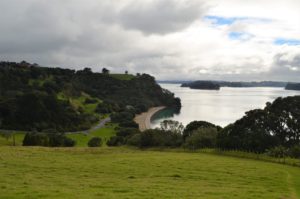
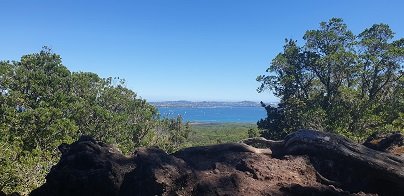
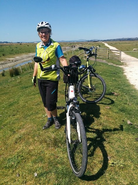
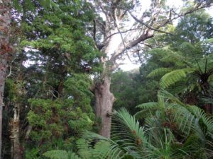
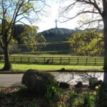
As we are all isolated with our bubble for the next 4 weeks or more, we have been allowed at least the simple privilege of heading outdoors for some walking. It is important for our own sense of well-being and fitness that we make the most of these limited opportunities and enjoy some fresh air and nature.
The government have been very clear on some distinct rules around walks:
Current advice from the covid19 NZ website (3rd April 2020):
“As long as you’re not unwell, you can leave your house to:
– access essential services, like buying groceries, or going to a bank or pharmacy
– go to work if you work for an essential service
– go for a walk, or exercise and enjoy nature.
If you do leave your house, you must keep a 2-metre distance from other people at all times. Police may be monitoring people and asking questions of people who are out and about during the Alert Level 4 lockdown to check what they are doing.”
Helpful guidelines that assist in enjoying your walk and staying safe :
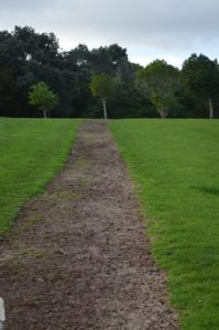
- Walks must be local – they do not want people driving to locations such as beaches and parks. There is some discussion about whether it is okay in some situations to drive a little distance.
- You can only walk by yourself or those you are isolated with (in your bubble). You must not have others outside your isolation group join you for walks during the lockdown period.
- While walking, you must maintain at least 2 meters from any person that is not in your isolation group.
- Be aware not to touch common surfaces – playgrounds are closed.
- Keep in touch with the latest and more specific information on www.covid19.govt.nz
The Auckland Council website (https://www.aucklandcouncil.govt.nz/Pages/covid-19.aspx) provides information on parks during the crisis.
| Playgrounds | Closed | Keep children off equipment. |
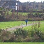
| Regional parks | Open for excercise | Maintain social distancing from other visitors and do not use equipment in the park. No vehicle access. |
Please note that the information in this blog is not an official government document but designed to assist people in understanding their walking opportunities. Please visit the covid19 website for the most current information.