All posts by Helen

Weymouth Walkway Loop

Weymouth Walkway Copyright 2014 Unleashed Ventures Limited

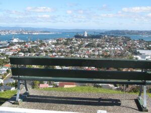
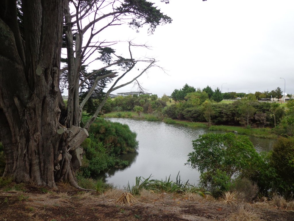
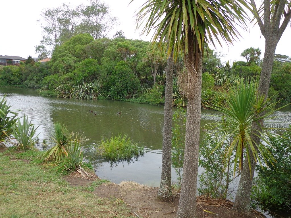
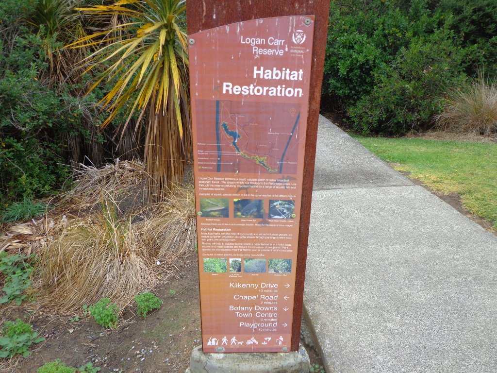
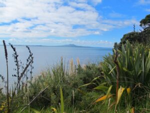
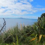
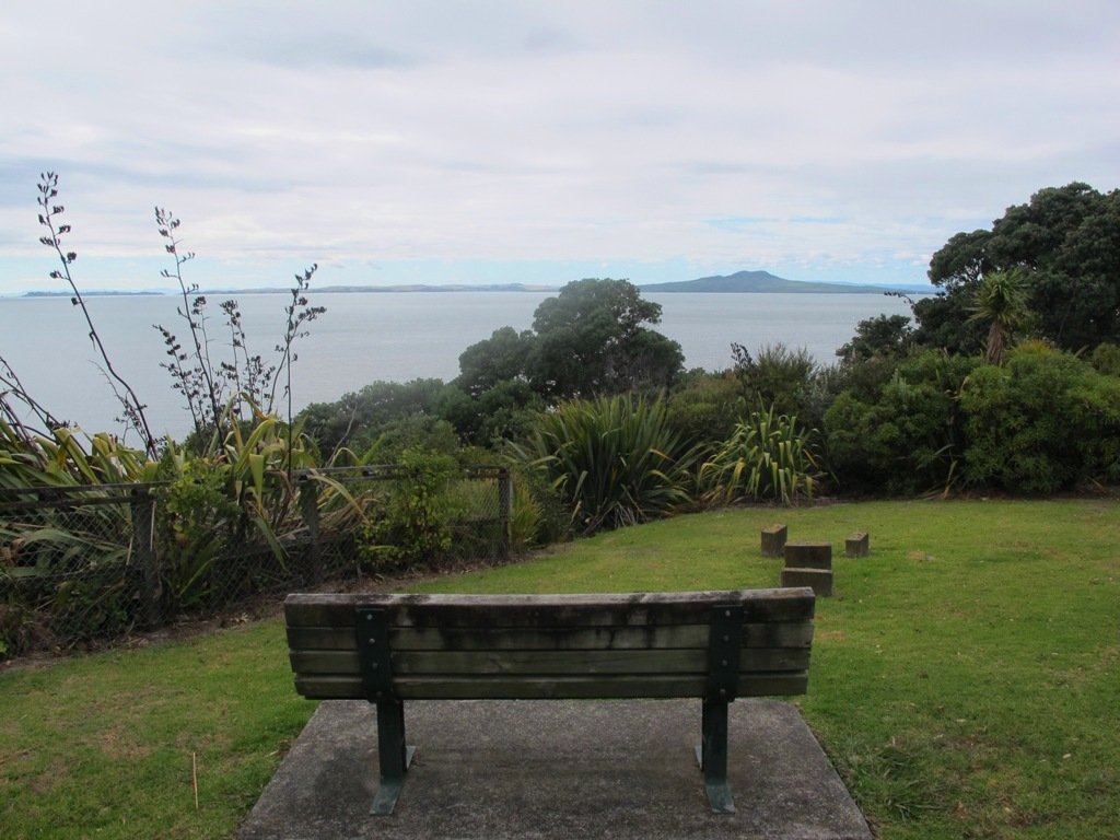
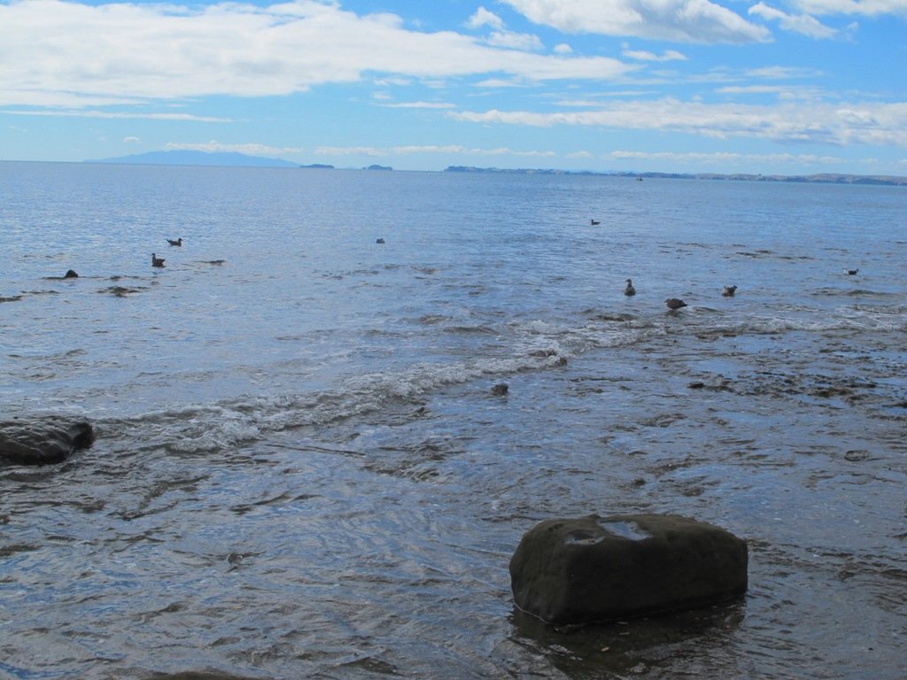
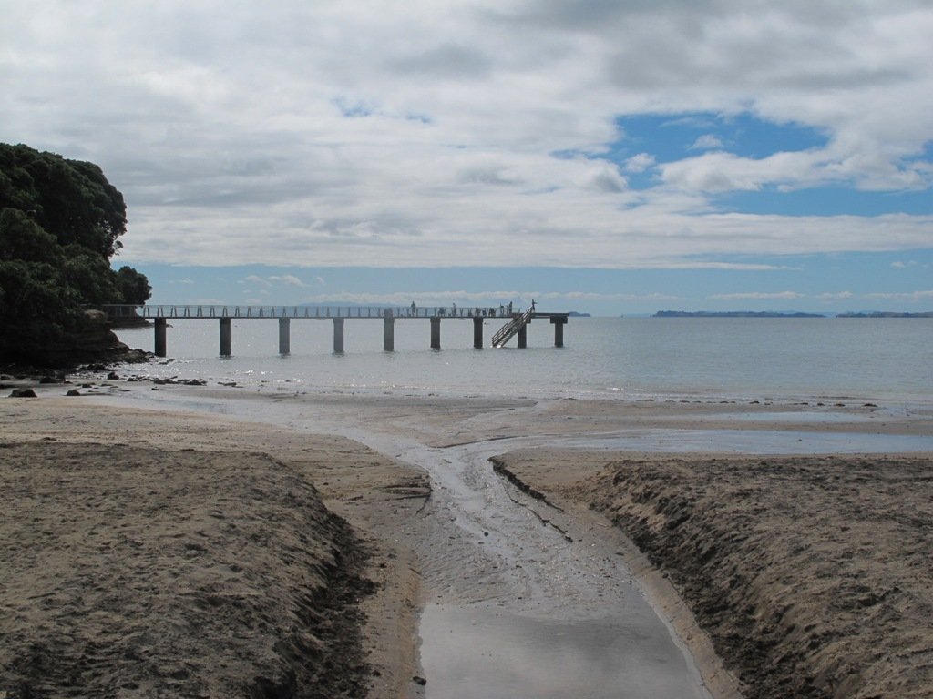
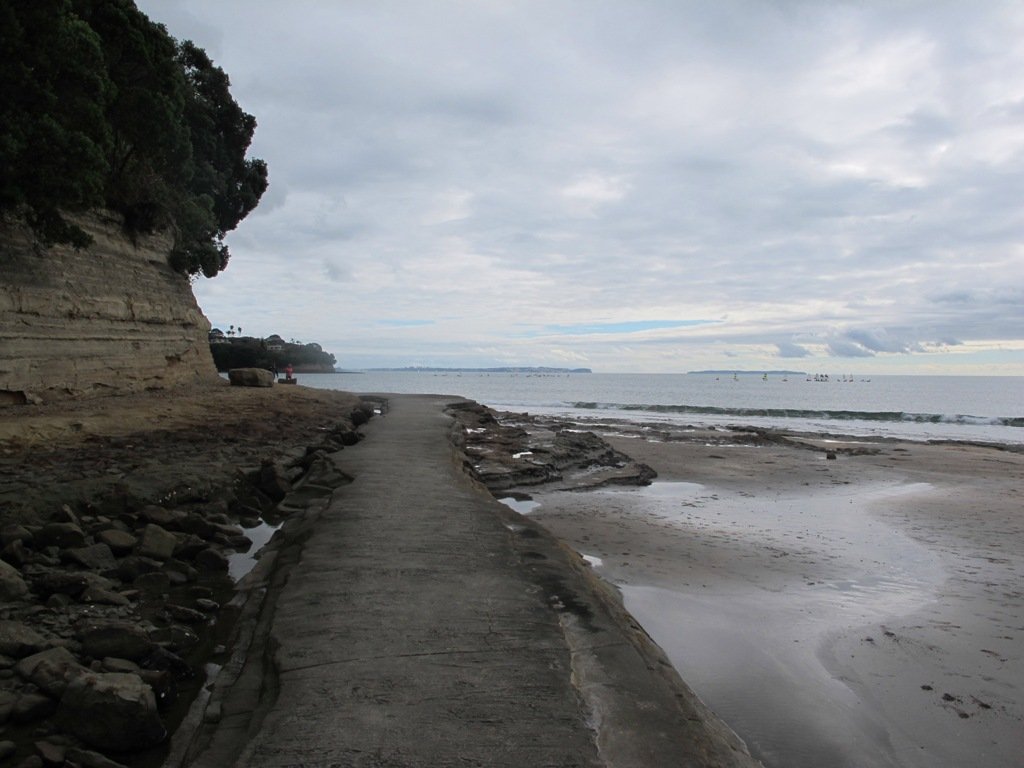
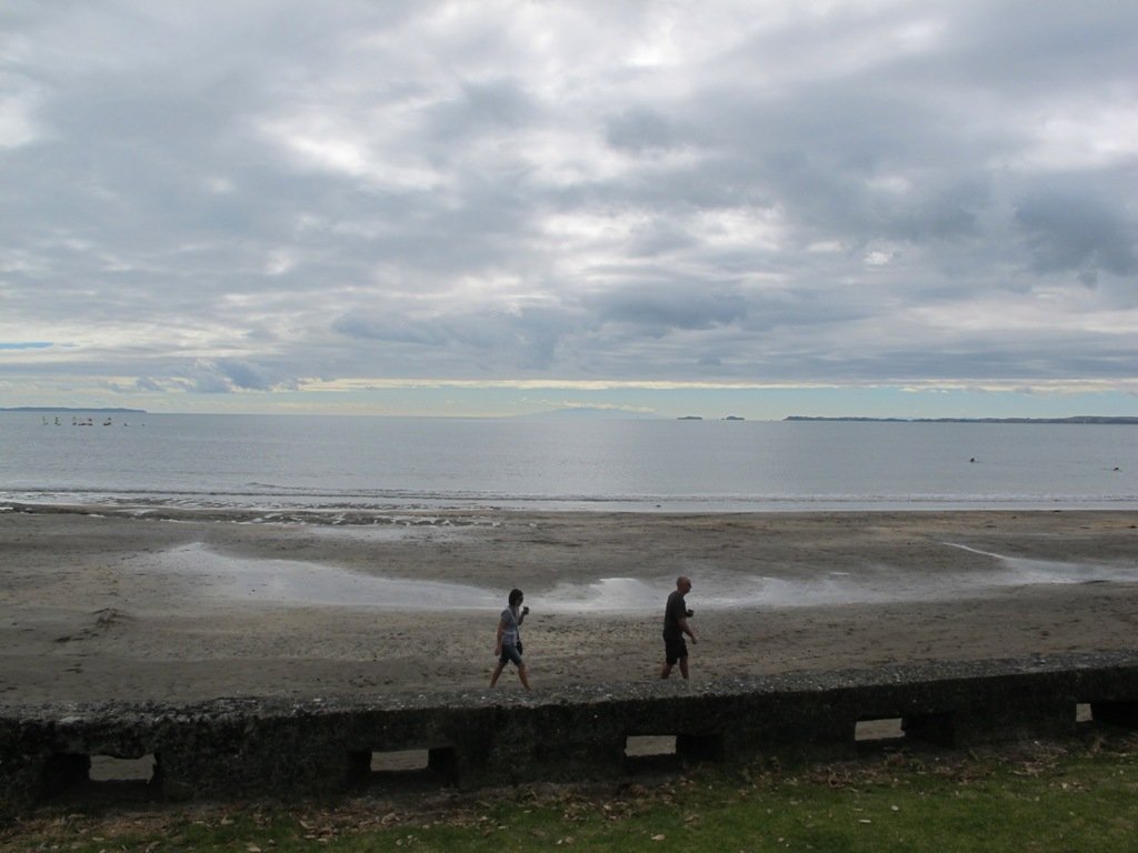
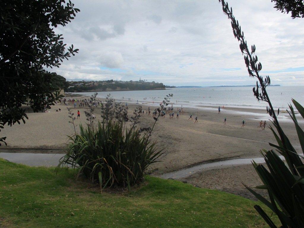
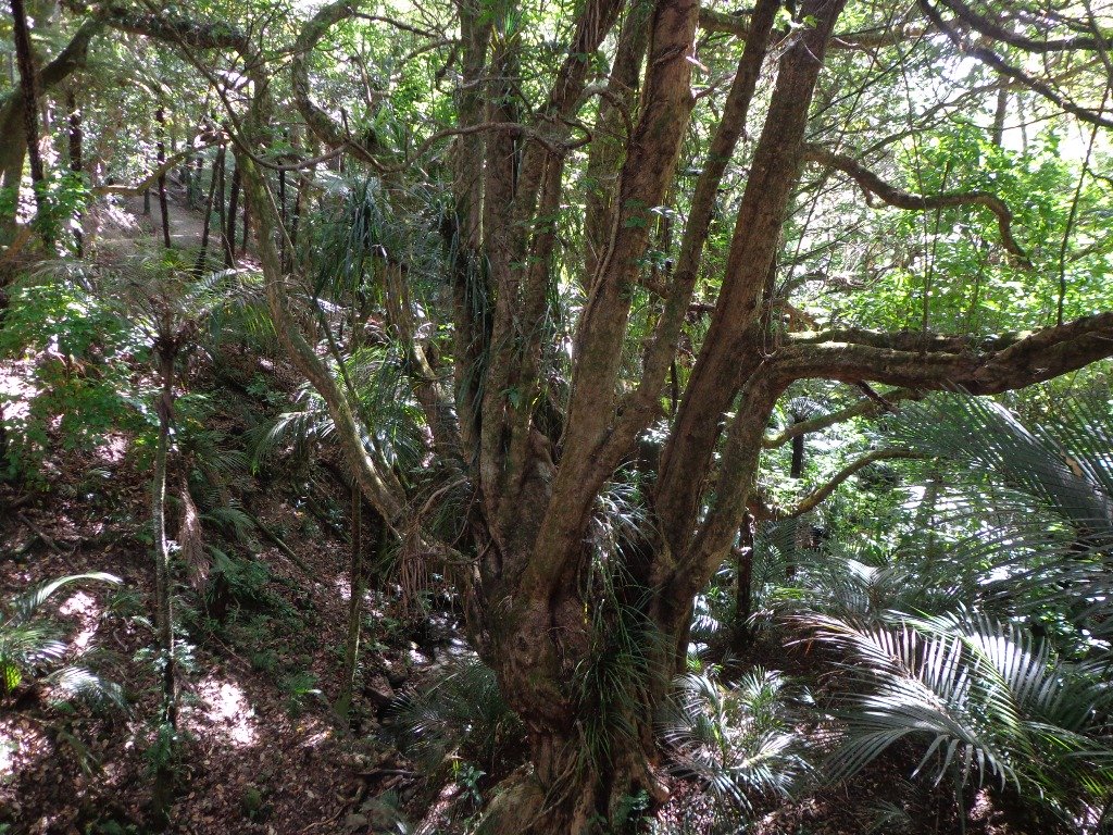
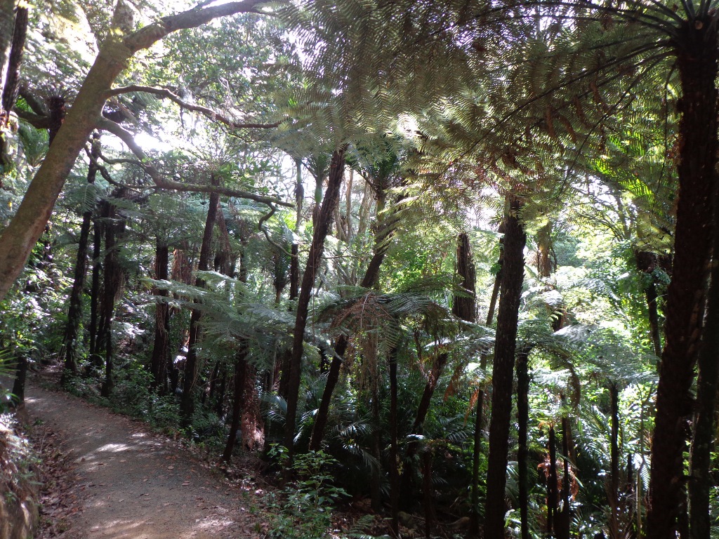
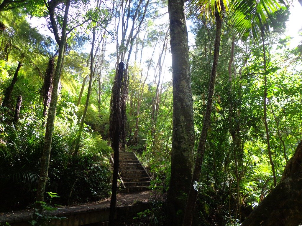
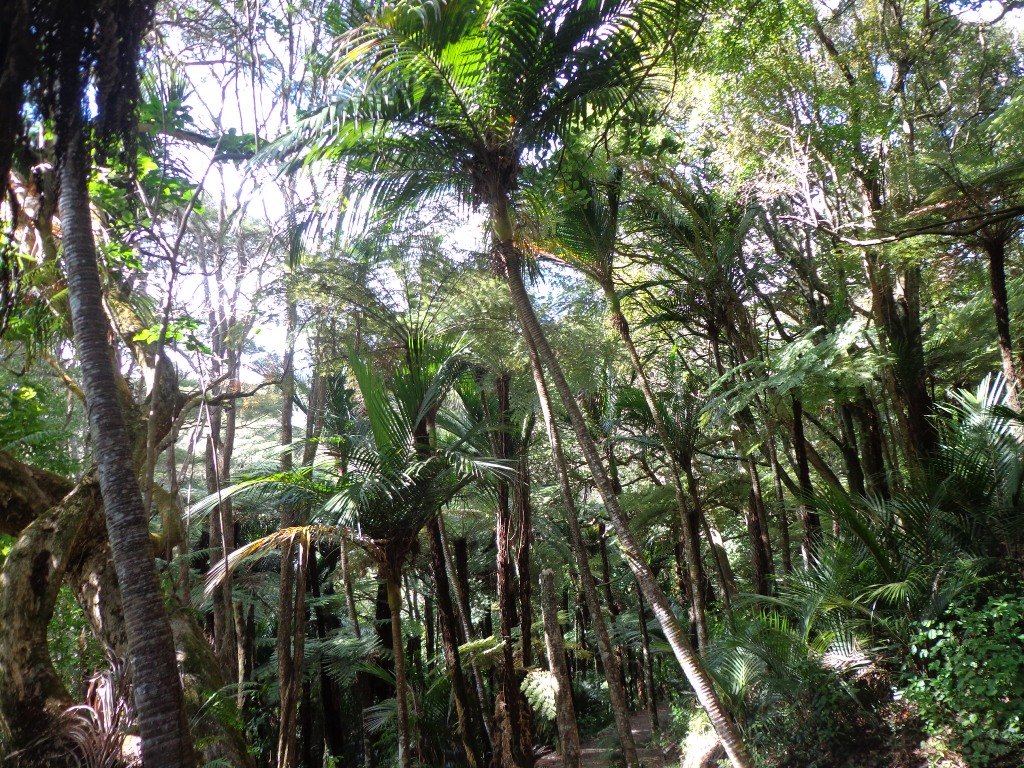
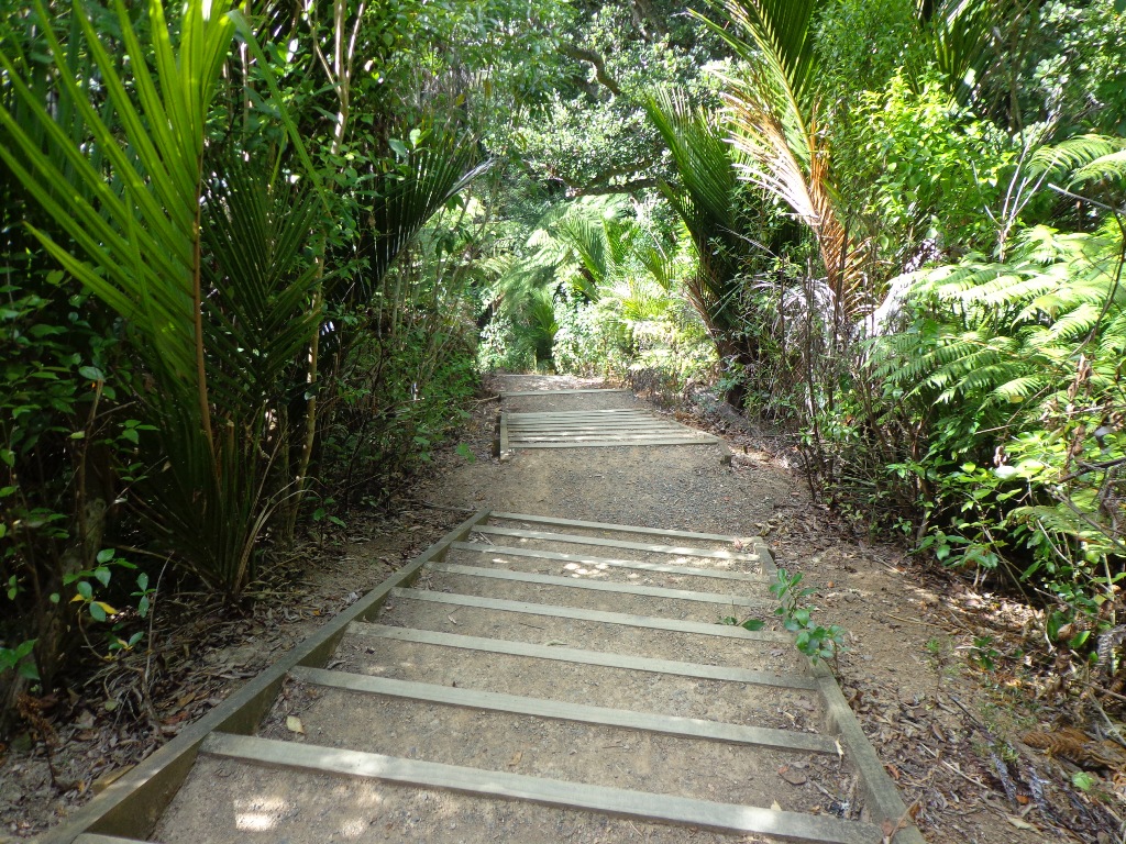
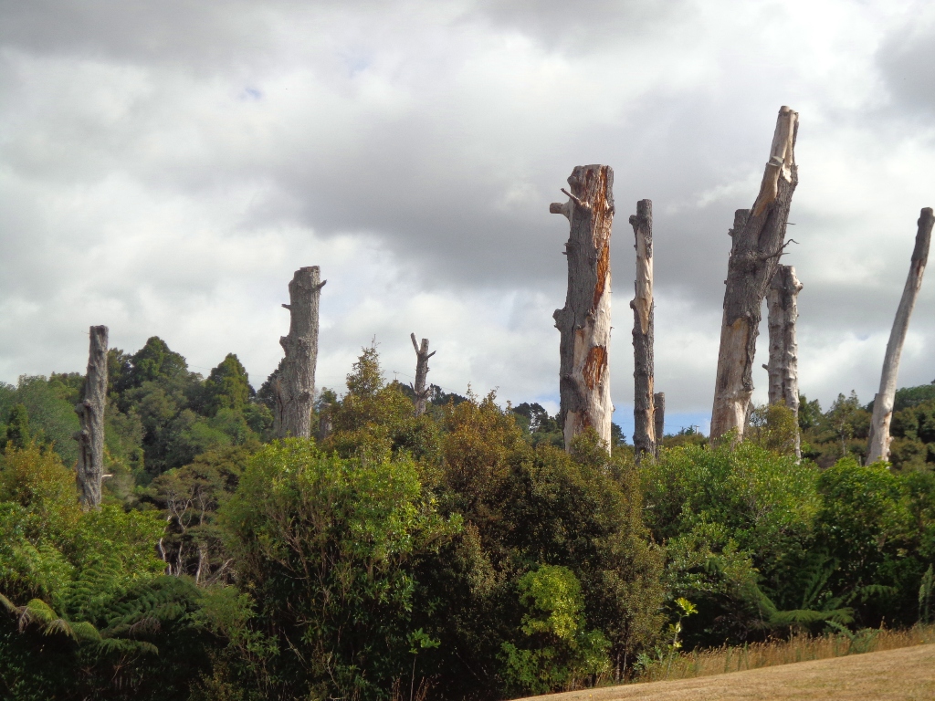
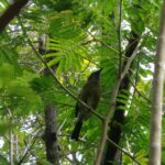
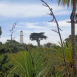
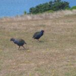
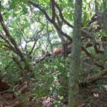
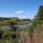
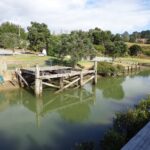
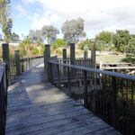
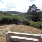
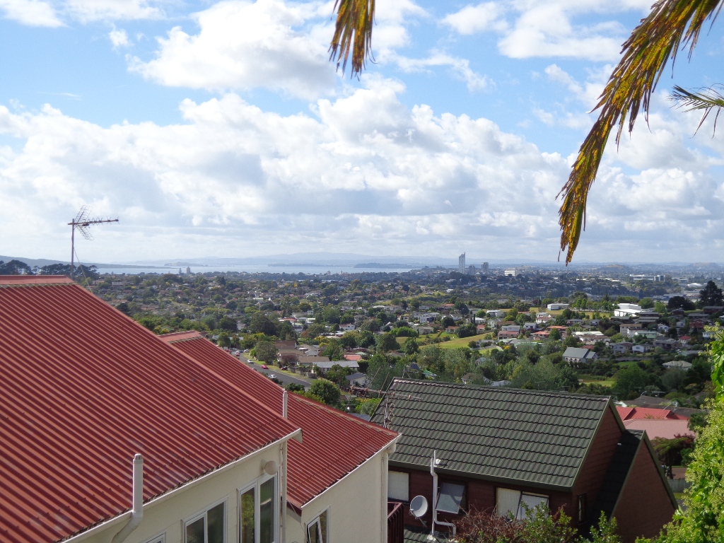
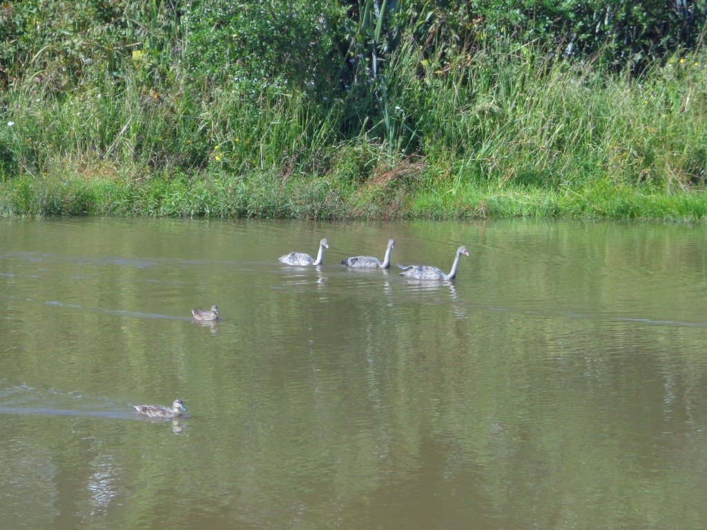
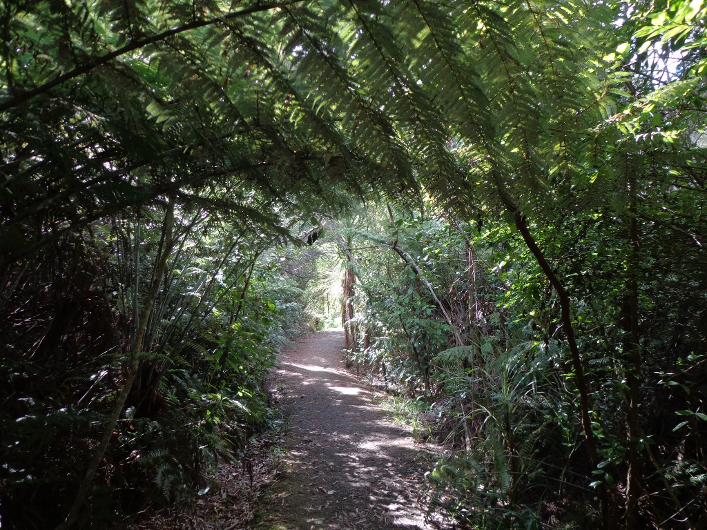
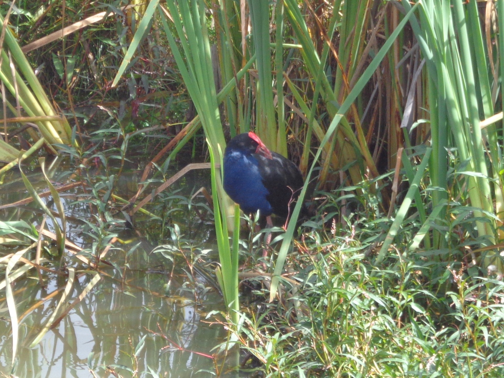
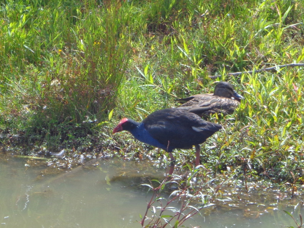
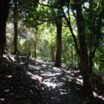
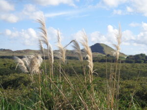
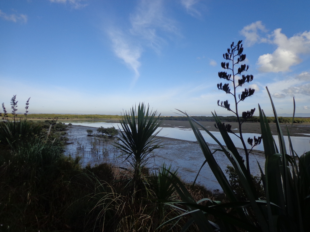
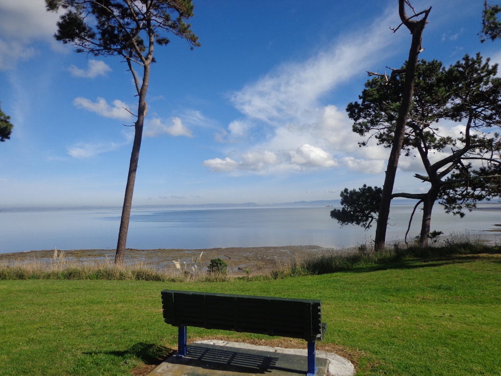
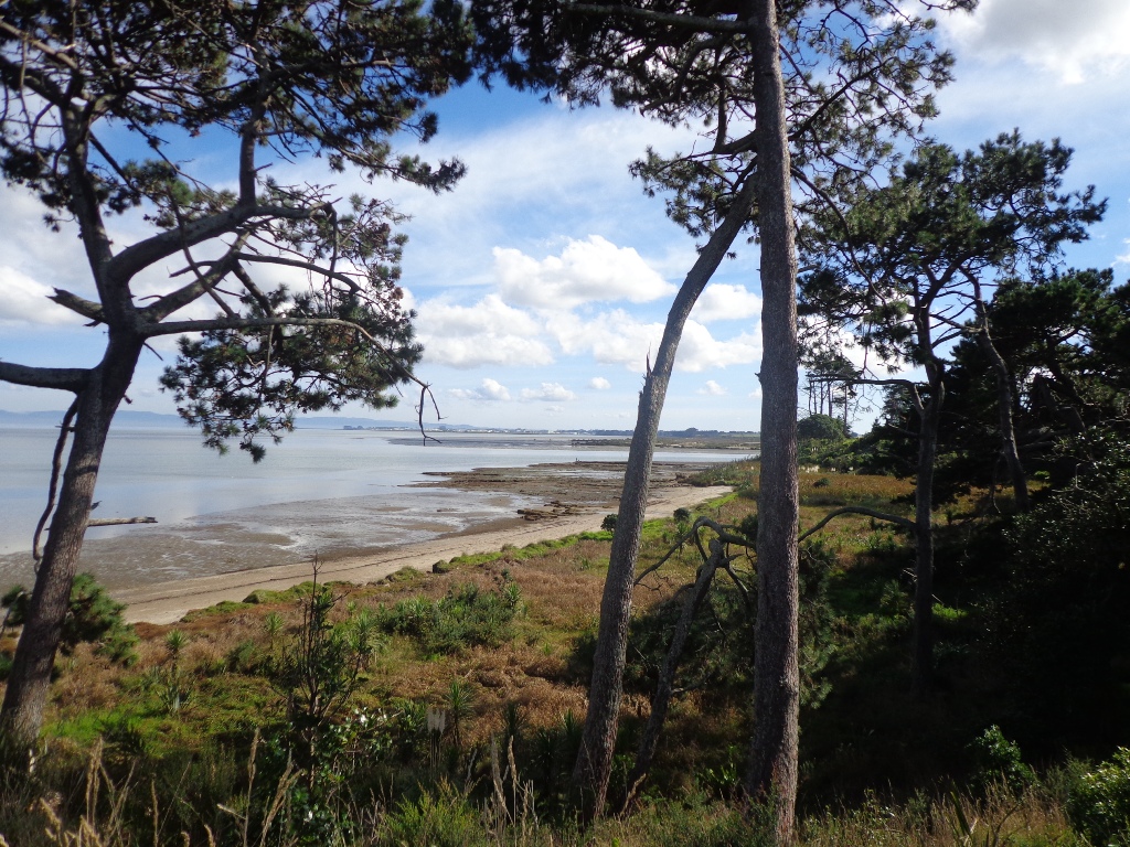
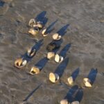
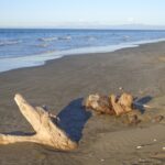
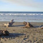
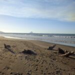
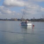
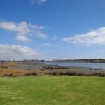
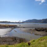
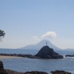
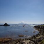
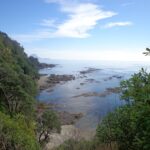
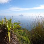
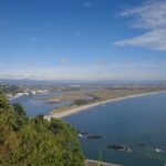
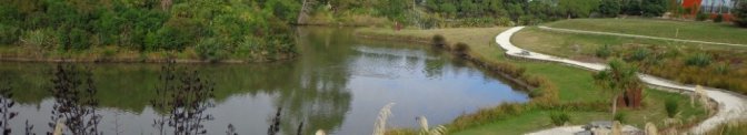
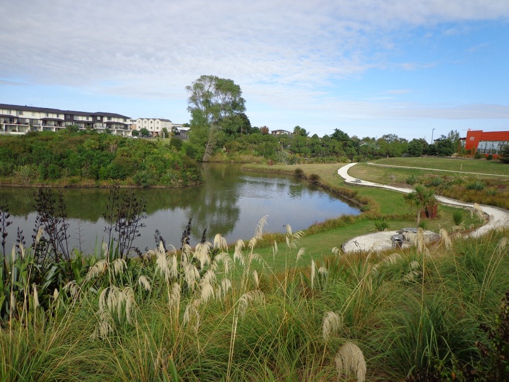
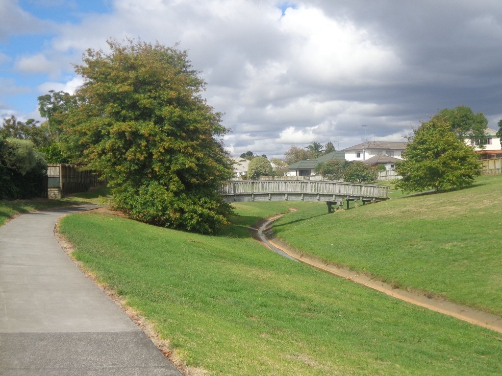
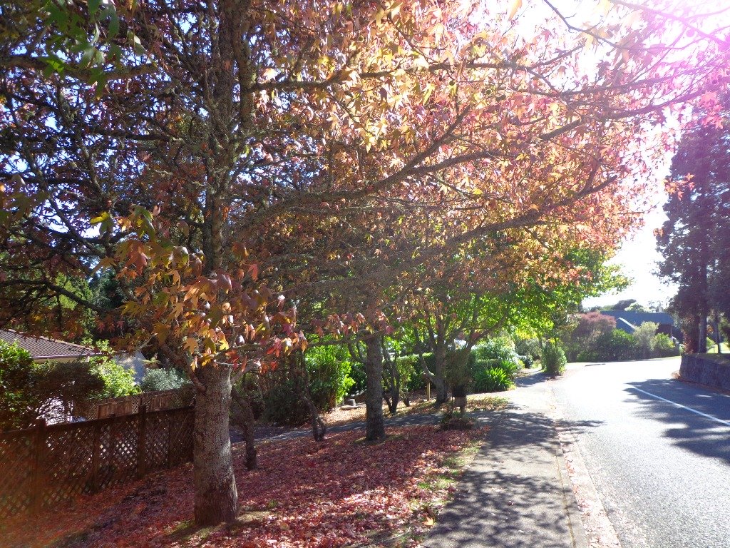
The Weymouth Walkway south of Auckland, is a mainly flat (suitable for wheelchairs and pushchairs), concrete paved path that follows the coastline of Manukau Harbour and the Puhinui Creek mangrove forest inlet.  At low tide you may be lucky to see the shore birds while you explore the exposed rock pools.  The views at high tide on a fine day are spectacular – look west to see Manukau Heads, north to Matukutūruru (Wiri Mountain) and south to Kingseat.

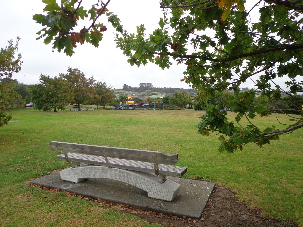
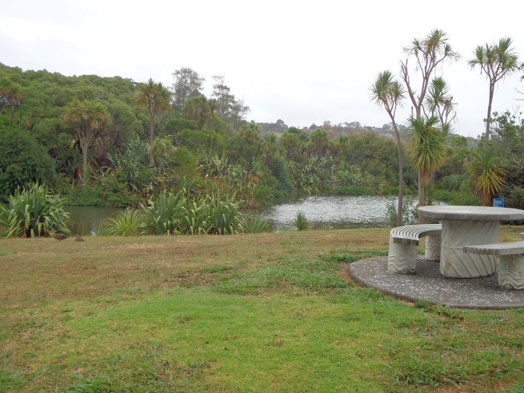
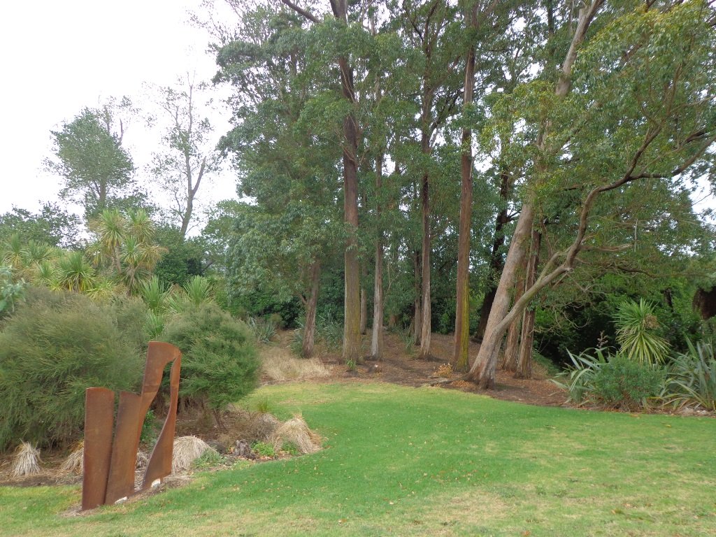
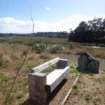
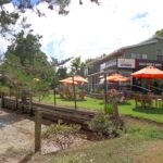
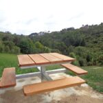
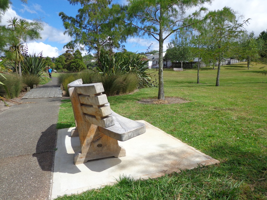
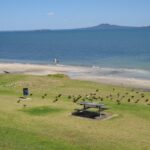
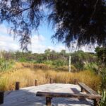
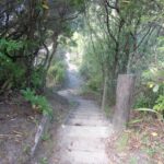
There are reserves and playgrounds adjacent to the walkway that lend themselves to picnics and places to stop to breath in the beauty. The walking route is also great for cyclists, prams/buggies.

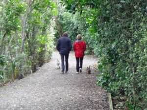
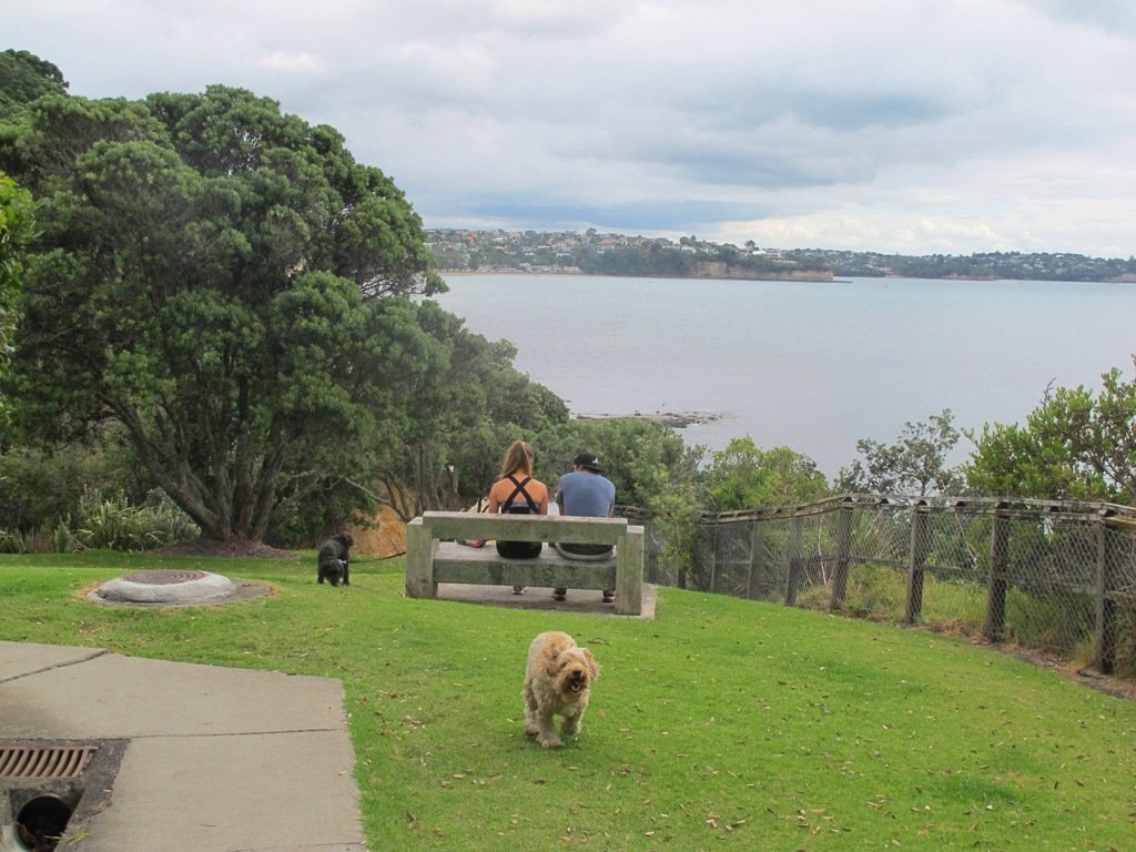
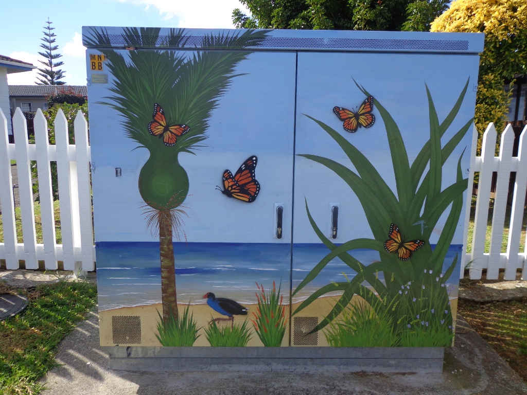
We looked for signs for dog walkers but saw nothing to indicate on or off leash areas. However, in the “Our Auckland May 2014” publication page 18,  it states: “Dogs must be kept under control and away from local wildlife, and are not permitted on adjacent sports fields or near playgrounds.”
Please check with Auckland Council for the current dog rules.

Description: Mostly level paths. Suitable for most ages and levels of fitness and mobility, designed with flat shoes or running shoes in mind. Suitable for pushchairs.
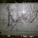
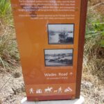
To see: Manukau Harbour coastal views, shorebirds, mangrove forest, historical sites.
Time: approx. 90 minutes (about 7.5kms). Plus exploring time.
Start:  Hanford Place, Clendon.  MAP

Best of the South: Short walks in Auckland

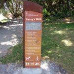
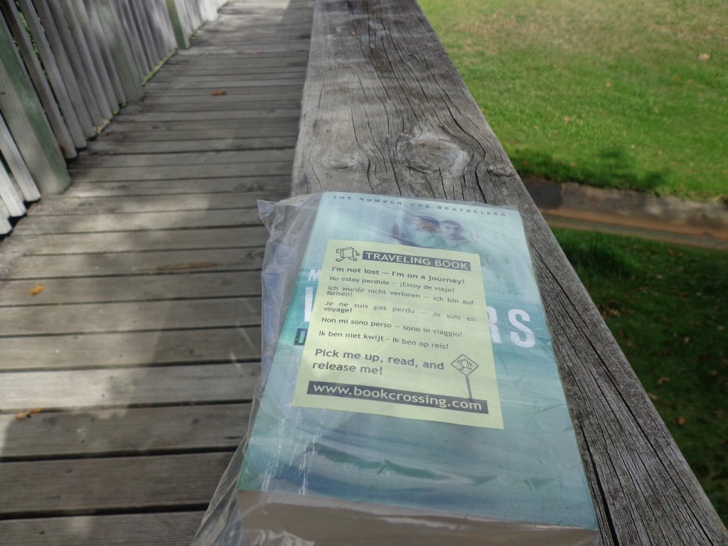
Stay on track…find this walk’s map and directions guide (AS-101 Weymouth Walkway Loop) and other walk self-guides at our Walk Store and from our Book Store: one of 12 walks in our book “Best of the South”.

Whakatane walks

Helen visited Whakatane for the first time this weekend.  We arrived on the Friday afternoon and took a wander along Ohope Beach.  On Saturday we walked the “easy” River Walk  and then on Sunday we walked the “easy” Kohi Point Track.  We returned to Auckland via Rotorua the following day after a fantastic sunny weekend in the Bay of Plenty!

Afternoon sunshine and shadows on a small part of 11kms long Ohope Beach. (Click on the photos to enlarge)

The Whakatane River Walk – graded easy and it was a very level walkway. Lots to look at along the way from birds to fishing boats. We tracked 9.82kms from the heads at the end of Muriwai Drive to the bridge, and return via a small loop.

The Kohi Point Track is graded easy. And it would be for young fit people. For older not-so-fit people, it is moderate to difficult. There are many steep steps and inclines. Sturdy shoes are required. The views of White Island, Whale Island and Whakatane are spectacular and gave us a chance to catch our breath. We parked the car in Otarawairere Road and headed down the track to Otarawairere Bay. From the end of the bay, we started the climb upwards, finishing the track at Kapu Te Rangi Historic Reserve, then followed the gravel Kohi Point Lookout Road back to the car – a total distance of about 7.34kms.


Further exploring included Tauwhare Pa, Opotiki and Ohiwa.

View Larger Map

Botany to Cascades Loop Walk

It continues to amaze us how the distances between places seem shorter when we are out walking compared to driving. This loop walk in Auckland from Botany Town Centre and back via Cascades Road, was one  that took us from an unfamiliar area to an area we have walked previously. When we start exploring a new area, we are never sure what we are going to find, and we found today’s walk very pleasant.

We made good use of reserve walkways and the suburban streets.  And we had three delightful surprises.

Our first surprise was finding a book –  a travelling book (from BookCrossing) left by someone to be picked up, read and released!

The second surprise was stumbling upon an old farm cottage which has been converted into a cafe that is surrounded by modern suburban housing. The grounds contain a tree that was planted in 1890. A hidden gem with a rural feel right in the middle of an urban wasteland with heaps of character and charm – Hawthorn Dene Historic Country Cafe.

Botany to Cascades Loop Walk Copyright 2014 Unleashed ventures Limited

The third surprise was an amazing and wonderful wood carving which you would not know was there if you were travelling by car.

 
The walking route is also great for cyclists, prams/buggies and dog walkers . Dogs- Off leash exercise areas within reserves and parks.

Description: Mostly level paths. Suitable for most ages and levels of fitness and mobility, designed with flat shoes or running shoes in mind. Suitable for pushchairs.
To see: Historical sites, bridges, waterways.
Time: approx. 75 minutes (about 7kms).
Start:The Hub, Ti Rakau Drive, Botany. MAP

Stay on track…find this walk’s map and directions guide (AE-100 Botany to Cascades Loop) and other walk self-guides at our Walk Store and our Book Store (“Best of the East”).

Mangere Bridge Walks

Mangere Bridge Village is a great little spot to start exploring Auckland’s Manukau Harbour area  on our loop walks. There is a rich variety of things to see – with over 10 volcanic craters and cones, as well as Ambury Park Farm, shore birds and the esplanade.

walks in auckland

You may wish to connect two or more of these four walks and make it a half day and/or full day walking experience. Or just do one walk at a time – it’s up to you.


Mangere Bridge loop walk in AucklandThe Mangere Esplanade Loop Walk follows the Manukau Harbour shore line where during the summer months you will be able to see the migratory birds.


Mangere Bridge to Onehunga Copyright 2014 Unleashed Ventures LimitedThe Mangere Bridge to Onehunga Loop Walk explores the historical parts of Onehunga. And you will be able to see the reclaimed beach “Onehunga Taumanu” and the progress being made of the old bridge replacement.


Ambury Park FarmAmbury Park Farm walks takes you through the farm paddocks and out to the wetlands and the harbour shore for bird sightings, and views looking up to Mangere Mountain.


Mangere Mountain © 2011-2013 Unleashed Ventures Limited All Rights ReservedThe Mangere Mountain Volcano Walk provides a birds eye view of the Manukau Harbour and the surrounding area, with views across to One Tree Hill and the Sky Tower, looking down on the explosion crater of Mangere Lagoon, and over to Ambury Park Farm.

Mangere Bridge ©2013 walksinauckland.comIf you are looking for a walk that is buggy friendly, then the Mangere Bridge Village loop walk  that starts (and ends, of course) at Mangere Bridge Village, and heads around the harbour edge, under the motorway bridge, partly through the industrial area, along the base of Mangere Mountain and returns along the Kiwi Esplanade will tick the box.

Nearby places to visit: Watercare Coastal walkwayAmbury Regional ParkVilla Maria Winery and cafeButterfly Creek,  Otuataua Stonefields historic reserve , Mangere Strawberry and Vegetable Farm @ 127 Kirkbride Road.


Glen Eden Bush and Stream walk

Glen Eden is undergoing stream restoration and cycleways development as part of the Twin Streams Project, so we set out for an exploratory walk to see what we could uncover.

We started off at Ceramco Park, but if you are arriving by train, you could take the Upper Waikumete Walk and Cycle Way starting from the corner of Captain Scott Road and West Coast Road, turn right into Savoy Road to continue to Ceramco Park. We followed the Waikumete Stream, footpaths, walkways and tracks through native bush and wetlands, over bridges and along pleasant residential streets, making this an enjoyable short urban bush walk.

Dogs – Off leash exercise areas within reserves and parks.

Nearby Walk: Glen Eden and Waikumete Cemetery Circuit Walk

Description: Mainly flat with one steep road. Suitable for most ages and levels of fitness and mobility, designed with flat shoes or running shoes in mind. Suitable for pushchairs.
To see: Waikumete Creek, wetlands, native bush, kauri trees.
Time: approx. 60 minutes (about 5.47kms).
Parking:  Ceramco Park.
Start: 120 Glendale Road, Glen Eden. MAP

Stay on track…get your detailed guide and map (AW-099 Glen Eden Bush & Stream Walk) over at our Walks Store  and our Book Store (one of 12 walks featured in our books “Dog Friendly Part 2” “Best of the West“).

Walks around Devonport Auckland

Devonport is one of our favourite places to walks in Auckland. The combination of harbour and city views, Victorian style homes and fabulous cafes makes it an enjoyable place to visit.

We have put together three one hour loop walks starting from the Devonport ferry terminal.

Walks in Auckland North Head Devonport © 2011-2013 Unleashed Ventures Limited
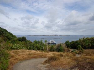
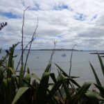
Devonport to North Head. Take your torch for the tunnels and your camera to capture the views across the Gulf!


Read more: Devonport and North Head Loop Walk


Walks in Auckland
Mount Victoria, Devonport

Devonport to Mt Victoria. Spectacular views, historical cottages and interesting shops on this loop walk.


Read more: Spectacular views from Mt Victoria Devonport

Devonport © 2011-2013 Unleashed Ventures Limited
Devonport to Ngataringa. Walk along the esplanades and parades of Devonport with the view across the Gulf and to the skyline of the city and beyond. Take the time to admire the beautifully kept Victorian style homes. Followed by the sounds of birds as you walk alongside Ngataringa Park. Read more :Devonport Ngataringa Loop


Botany and Dannemora circuits

This short loop walk exploring the reserves from Botany Town Centre to Dannemora is suitable for people who work at Botany Town Centre and enjoy a short walk in their breaks, families with young children (playground, ducks) and dog owners.

Botany-Dannemora walk circuit. Copyright @2014 Unleashed Ventures Limited

The walkways are flat and concrete – ideal for wet days, and for buggies and scooters.  We saw ducks, pukeko and shags on the waterways. There is a children’s playground en-route, picnic tables and off leash dog exercise areas.

The walking route is great for cyclists, prams/buggies and dog walkers.

Description: Mostly level paths. Suitable for most ages and levels of fitness and mobility, designed with flat shoes or running shoes in mind. Suitable for pushchairs.
To see: Reserves and waterways.
Time: approx. 45 minutes (about 3.4 kms).
Start:  Town Centre Drive, Chapel Road, Botany. MAP

Stay on track…Find this walk (AE-102 Botany to Dannemora Loop) and other walk brochures with map and directions at our Walk Store

Mairangi Bay Loops

The clifftop and beach loop walks starting at Campbells Bay and taking in Mairangi Bay, and Murrays Bay and part of Rothesay Bay on Auckland’s North Shore provide stunning views over the Hauraki Gulf and Islands.

Maurangi Bay Loops Copyright 2014 Unleashed Ventures Limited

The beach walkway is dependent on weather and tides (check tides here).

Today the beach at Maurangi Bay was busy with sailors, surf lifesavers, swimmers and paddle boarders.

People were out walking their dogs – and the dogs looked very happy racing around off the leash along the cliff paths. Be sure to check out the Auckland Council dog rules for the North Shore beaches here.

Dogs are allowed under control off-leash at any time at Churchill Reserve Beach (Rothesay Bay).

The walkways do have steps so a good level of fitness is needed.

Description: Mostly level paths with some steps and one steep climb. Suitable for most ages and levels of fitness and mobility, designed with flat shoes or running shoes in mind. Not suitable for pushchairs. Not recommended at high tide.
To see: Coastal views.
Time: approx. 80 minutes (about 6.65 kms).
Parking:  View Road, Campbells Bay. MAP

Stay on track… Find this walk (AN-098 Mairangi Bay Loop) and other walk brochures with map and directions at our Walk Store

Point View Reserve Loop

Last weekend while we were exploring the Whitford area, we stumbled across the Point View Reserve, and decided to check it out.

Point View Reserve Copyright 2014 Unleashed Ventures Limited

Click to Access the Point View Reserve Google MAP

Point View Reserve is close to Botany and Dannemora and the view from the trig station, looking north to Auckland City puts the city’s housing sprawl into perspective.  Looking towards the opposite direction there are still the rolling hills of the quiet countryside to see. What a contrast!

And then, in the middle of the reserve is regenerating native bush – taraire, karaka, puriri, rimu, totara and kahikatea trees; as well as tree ferns, kanuka and nikau palms.   What a treasure this reserve is.

A tributary of the Mangemangeroa Creek runs through the steep gully (we were told there are 500 steps on the Koura Track).

Our 3km loop walk does require a good level of fitness – due to the steep steps.  Dogs must be on-leash in the bush areas, and off leash in the open areas.

Further information is at the greataucklandwalks website.

You can download the Auckland Council Point View Reserve brochure here.

Description: Mix of level and steep paths, with a series of steep steps. Suitable for good levels of fitness and mobility, designed with flat shoes or running shoes in mind. Not suitable for pushchairs.
To see: Views of Auckland City and countryside, bush and birds.
Time: approx. 45 to 60 minutes (about 3.16kms). Plus exploring time.
Parking:  Corner of Caldwells Road and Point View Drive. MAP

Best of the South: Short walks in Auckland

Stay on track… Find this walk (AS-097 Point View Reserve Loop) and other walk brochures with map and directions at our Walk Store . One of 12 walks in our book “Best of the South” available from our Book Store.

Tiritiri Matangi Island walk

It’s been over 15 years since Helen last visited Tiritiri Matangi Island. Since then, the thousands of young native bush plants have grown to a lush environment (restoration began in 1983). And the bird song has intensified as the protected birds carry on with their breeding without having to be concerned about predators. This island is an example of how man can repair our environment.
Tirirtiri Matangi Island, Auckland

Our party opted for the guided tour and our volunteer guide Anna educated us about the trees and the birds as we made our way up the Wattle Track to the Visitors Centre, shop and lighthouse. We ate our picnic lunch at the table provided. (There is an option to have your picnic supplies driven up to that point to save carrying them with you.)

After lunch we ambled back down to the ferry via the Kawerau Track. It was magic to stop in a bush clad gully to hear and see so many birds in the magnificent trees. My favourite stopping point was by the 800-1000 year old pohutukawa tree – there were many tui birds calling.

This was a great day out and we are planning to come back in the spring to see the trees in bloom.

For information about how to get to Tiritiri Matangi and what to see, click here.  The Department of Conservation has information and maps here. You may wish to ‘Like’ the Tiritiri Matangi Facebook page.  (Click on photos below to enlarge).

Wades walkway Whitford

Wades Walkway at Whitford is a little gem that we hope will be developed further in the future.  The walkway follows the Turanga River.  From the 1860’s until 1927 a ferry provided transport from Whitford to Auckland. The remains of the wharf are still on-site.

There is a children’s playground nearby. Whitford Village has a collection of gift shops and cafes. We enjoyed visiting Amy’s Kitchen.

Wades Walkway can be accessed from the roundabout in Whitford or from Wades Road. The track is loose gravel and is flat. Suitable for mountain bikes.

To make your own loop walk starting from the Whitford roundabout: at the end of Wades walkway turn left into Wades Road, at the next junction, turn left (still Wades Road) then right into Whitford Road to return to the start. We have not measured this loop walk, but allow at least an hour. MAP

Mangemangeroa Valley Walkway

Today we headed south along the Mangemangeroa Valley Walkway – previously we had walked north to Shelly Park Beach.  Today started off overcast but the sun came out, and there was a cool breeze.  The breeze was very welcome when we were walking uphill in Hayley Lane and at the end of the Rotary Loop.

Mangemangeroa Valley Walkway © 2011-2014 Unleashed Ventures Limited All Rights Reserved

We started off at the barn in Somerville Road (MAP) and turned right.  It was good to see new maps and direction posts have been erected since our last visit, one year ago.  A lot of work has also been done with the planting of flax and cabbage trees – where this is done it will be a joy to see the rejuvenation of the native bush. We were pleased to see young kauri trees growing strongly. We walked up the steep hill of Hayley Lane, along Point View Drive, then back down the steep steps to rejoin the path, then followed the next turn left up the steps of the Rotary Loop to return to the start – a length of just over 5kms.

This walkway is very pleasant and perfect for a day walk and picnic, if doing the full length. Get the Auckland Council brochure here.

We drove onto Whitford for refreshments beside the Turanga River at Amy’s Kitchen.

Eskdale Reserve Bush walk

If you fancy a bush walk without having to travel out of Auckland, then Eskdale Reserve and Birkenhead Domain may hit the spot. You could take a picnic to eat on the grass. And if you enjoy mountain bike riding, then this is an option too.  Be prepared for dog walkers (dogs on-leash).

This shady bush walk is suitable for hot summer days or misty rain days. The native bush includes nikau palms, young kauri trees and ponga tree ferns. The Kaipatiki Stream runs through the reserves.

***Please note: September 2018 This track has been temporarily closed due to Kauri Dieback

We started our walk from Glenfield Road. MAP

The Eskdale Reserve bush tracks are highlighted in the Kaipatiki Explorer maps which you can download HERE.

Totaravale Reserves

The Totaravale Reserves loop walk loosely follows a route  documented by Margaret Scrymgeour from her booklet “Explore the Shore”.  This walk on Auckland’s North Shore starts out in Rewi Reserve, then climbs up to the ridge of Sunset Road for a view over the rooftops of Auckland City and heads back down again to bush tracks, streams, and ponds in Unsworth Reserve and passes three playgrounds.

Dogs – off leash areas along route.

Description: Mostly level paths with some small flights of steps and one steep path. Suitable for most ages and levels of fitness and mobility, designed with flat shoes or running shoes in mind.
To see: Wetlands, parks, stream, pond, native bush.
Time: approx. 60 minutes (about 5.0 kms).
Start: Corner of Trias Road and Athena Drive. MAP

Stay on track…Find this walk (AN-095 Totaravale Reserves) and other walk brochures with map and directions at our Walk Store

Maraetai and Omana loop walk

Today was our first walk around the 3 km perimeter of Omana Regional Park near Maraetai (pronounced my-right-eye). The walk itself was pretty uninteresting apart from the view looking back to Auckland City. However, the walk along the coastline from Omana Beach to Maraetai Beach was much more interesting.

Maraetai and Omana loop walk © 2011-2014 Unleashed Ventures Limited All Rights Reserved

The weather was brilliant and it was fabulous to see so many people out enjoying themselves in and on the beautiful blue clear water, as well as picnicking on the grassy shore in the shade of the pohutukawa trees. The tide was high (actually a “king” tide) which added to the beauty.

The shared pathway/cycleway between Maraetai and  Beachlands is very scenic, and suitable for family cycle rides.

Description: Mostly level paths, with a few short steep bits. Gravel and sealed track/paths.  Sturdy footwear recommended for Omana loop.
Suitable for most ages and levels of fitness and mobility, designed with flat shoes or running shoes in mind.
To see: Farmland, bush, coast, boats.
Time: We did the Omana perimeter loop (3kms) and walked to Maraetai return (5kms).
Start:  Either from Maraetai or Omana Beach Road. Map

Click here for  Omana Regional Park map.

The combined walks of Maraetai and Omana lived up to our expectations of a diverse walk – farmland, bush, coast, boats and village.
Click on photo to enlarge.