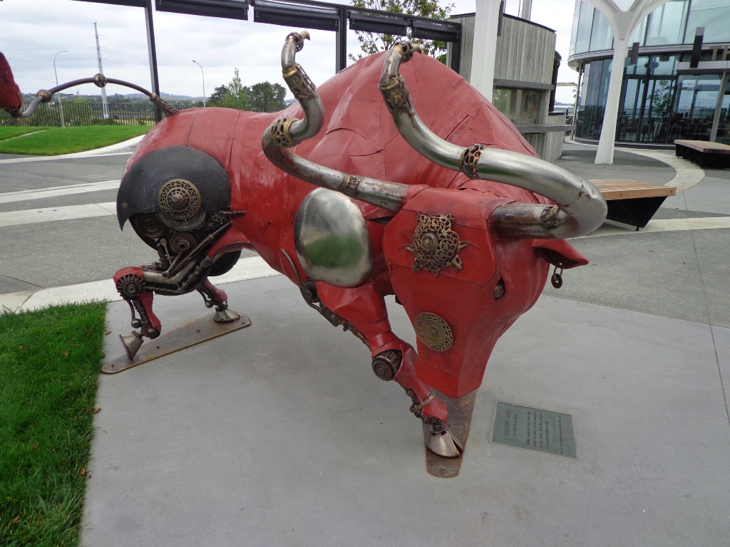
There are many outdoor activities and things to do in Auckland, and I would like to share with you one thing that won’t cost you too much money and won’t take up too much of your time – and thats by going on one our short walks in Auckland!
When you go for a short walk in Auckland, you will not only feel energised from being outdoors in the fresh air, you will also be able to experience the beauty, uniqueness and diversity of Auckland. Life is such a rush these days, and a short walk gives you the chance to slow down, unwind and maybe discover something about Auckland that you weren’t aware of previously.
What makes Auckland special?
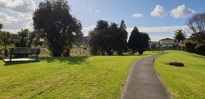
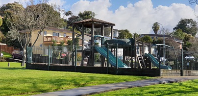
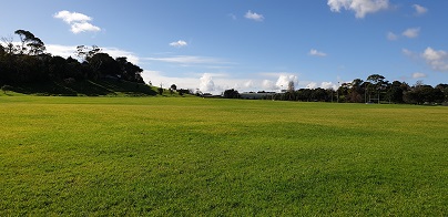
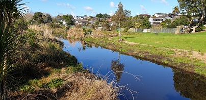
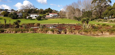
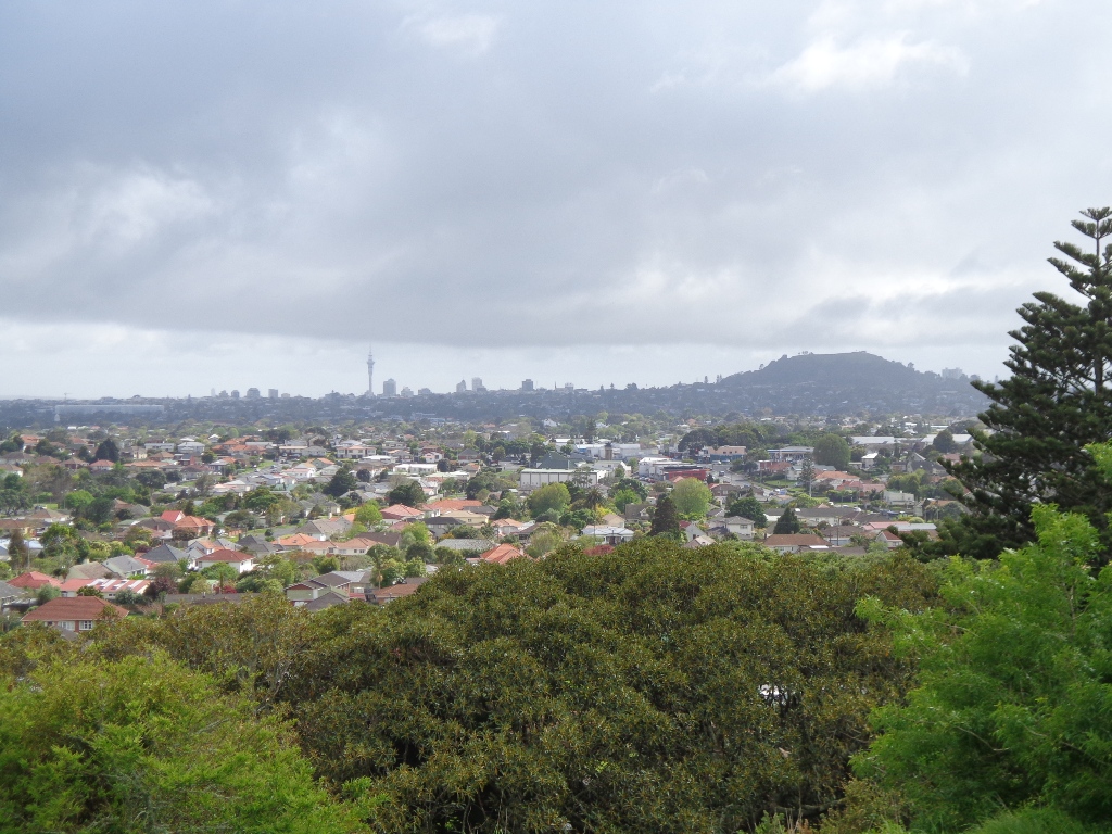
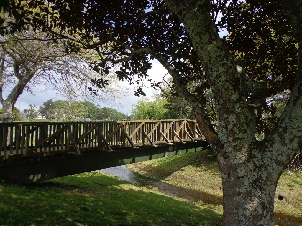
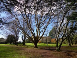
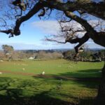
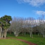
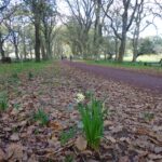
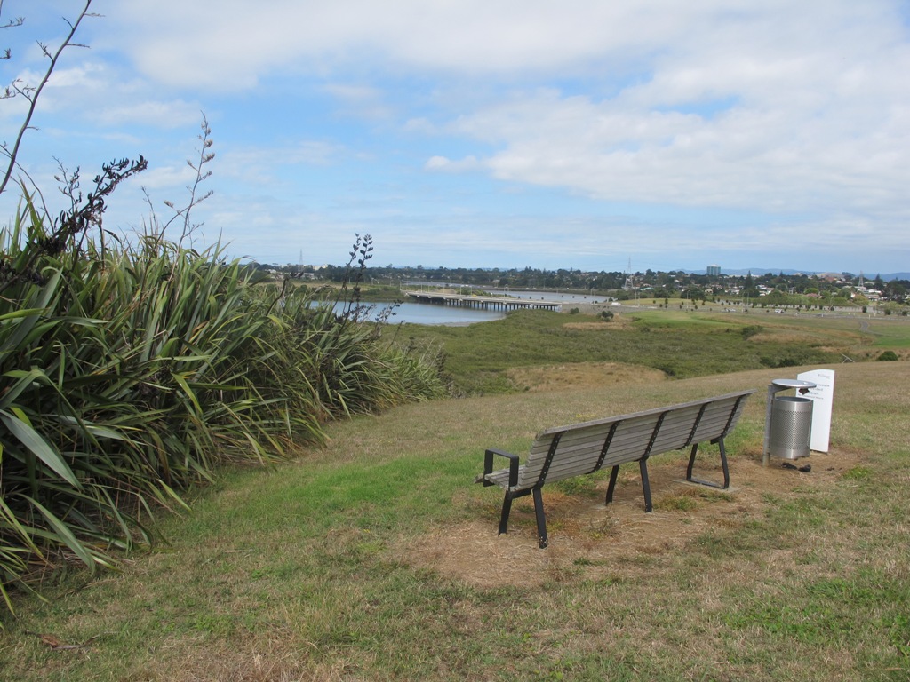
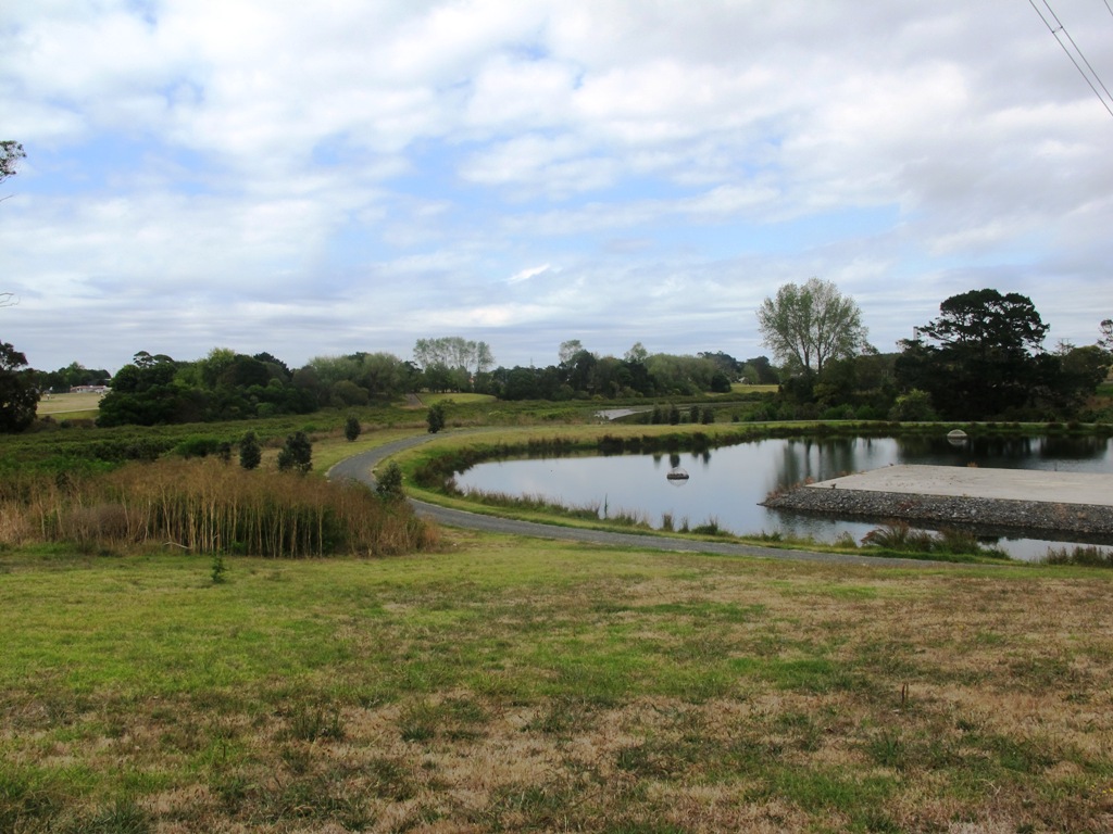
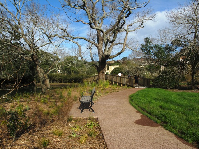
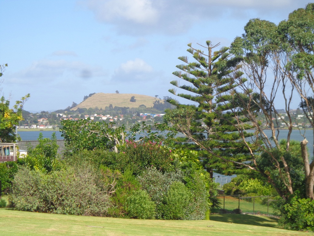
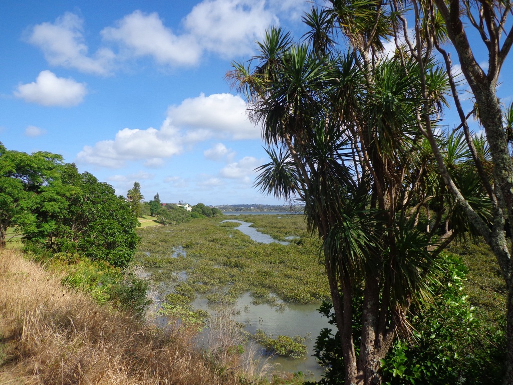
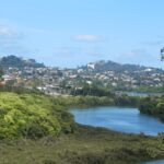
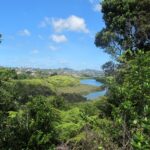
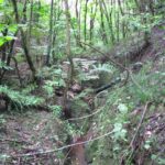
Auckland is a city with lots of green spaces and native bush. There are lots of places to walk away from the hustle and bustle of city life. There are some areas that are so close to residential house or city streets and yet you could feel very isolated because of the surrounding native bush.
I have spent the last three years finding new places to explore and I am continually being pleasantly surprised by the uniqueness and diversity of Auckland.
Here are seven good reasons to get out walking in Auckland.

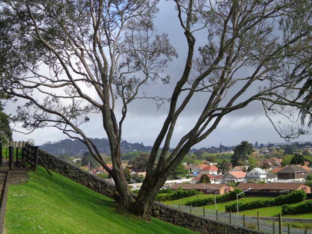
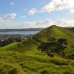
1. Volcanoes and Craters
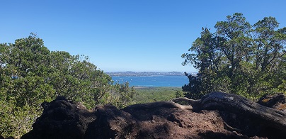
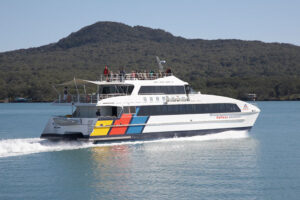
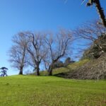
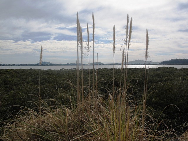
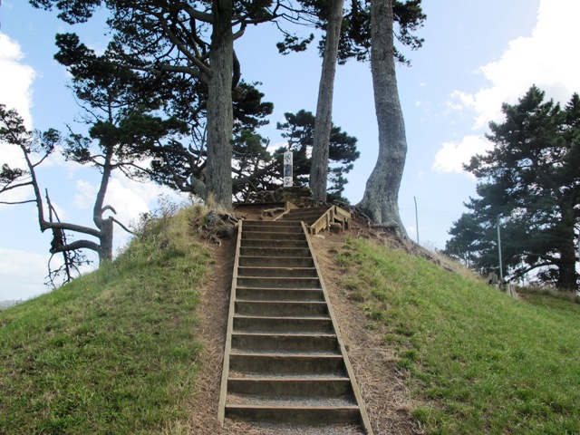
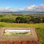
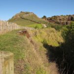
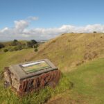
New Zealand is famous for the All Blacks and Rugby, winning the America’s Cup, skiing in Queenstown, Sir Edmund Hillary and the flightless Kiwi. But did you know that the Auckland region contains 55 volcanoes? (Don’t worry, they are extinct.) Two well-known volcanoes are Mt Eden and One Tree Hill. Both have great views from the summits and walking paths around the volcano’s crater, and through fields that feed cattle and sheep (and there aren’t many cities with sheep farms handy to the city center). Mangere Mountain is a volcano with two craters and is more rugged and natural. Rangitoto is an island that can be viewed from many parts of Auckland – you can catch a ferry and then walk to the top of Rangitoto from where you can get great views of the Gulf.
If you would like to learn more about Auckland’s volcanoes, I recommend this very good book Volcanoes of Auckland: The Essential Guide
By Hayward, Bruce W.; Murdoch, Graeme; Maitland, Gordon

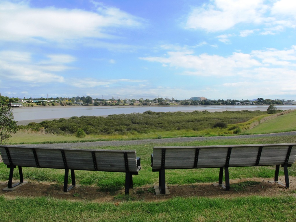
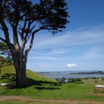
2. Beaches
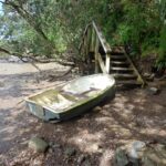
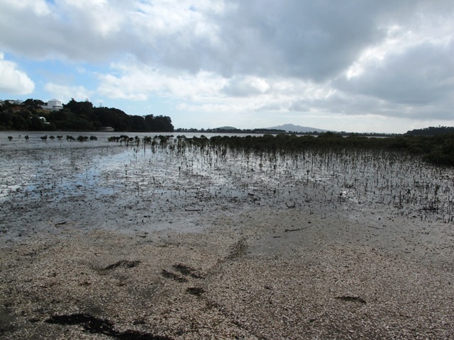
Because Auckland is on an isthmus that goes between two harbours, the shores have many inlets and beaches, making it great for sailing and swimming. However, do take care when swimming – the tidal flow in the Harbours can be strong.

3. First settlers
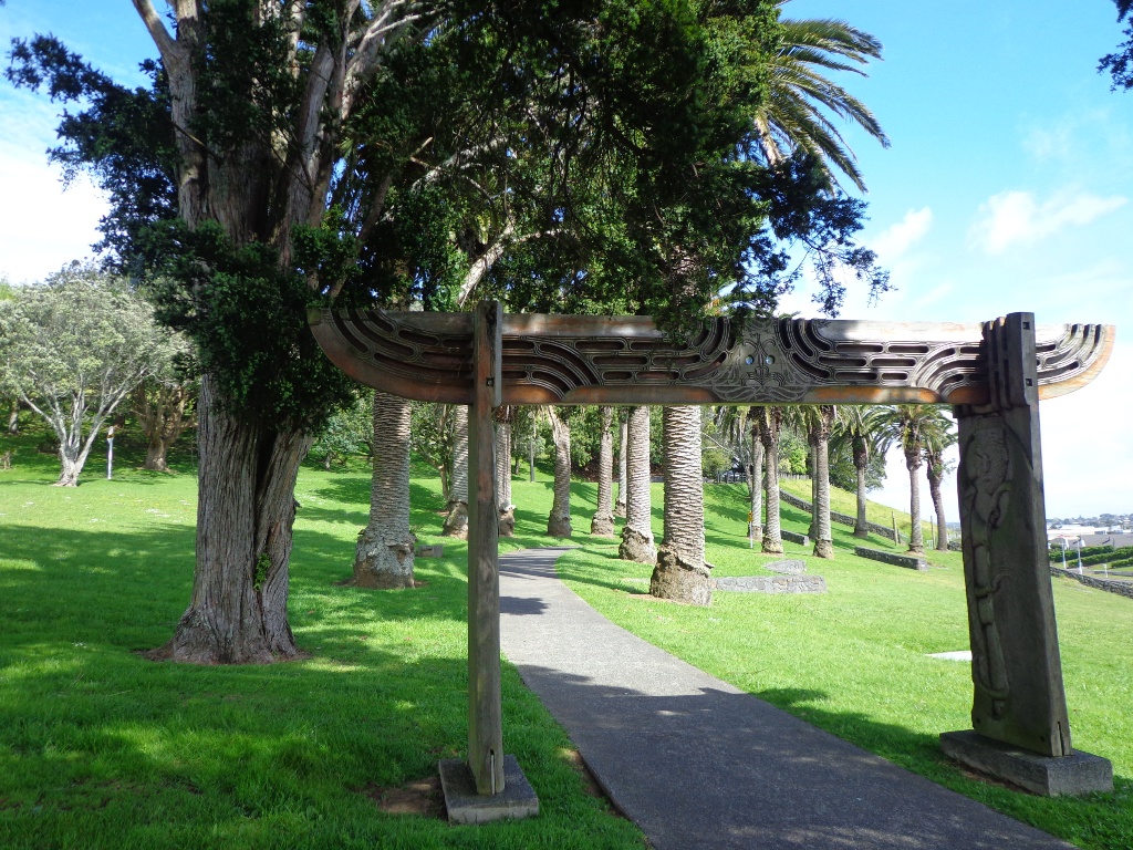
The Maori people were the first to settle in Auckland and their traces can be found in and around the volcanoes and craters. More information about the Maori people and their way of life before white man came, can be viewed at the Auckland Museum. When the Europeans arrived they built their fences for their fields from the volcanic rock.

4. European History
New Zealand is a young country compared to America and Europe. Man-made structures are fairly recent. The cemetery in Symonds Street under the Grafton Bridge was established in 1848. Part of it has not been maintained which is quite sad because it is a fascinating place to wander around.
North Head looks across the harbour to Auckland City. The strategic position made it one of a number of defence forts that were rapidly set up in the late 1800s to defend Auckland from a feared Russian attack. During World Wars I and II the fort was expanded as part of Auckland’s coastal defence system.
Pah Homestead in Hillsborough was built between 1877 and 1879. It has recently been restored and now houses an art collection.
Other historical buildings in the Auckland region are listed here at the Historical Places Trust. Find out more about European History at New Zealand History online.
This brochure Heritage Walks The Engineering Heritage of Auckland can be downloaded for free.

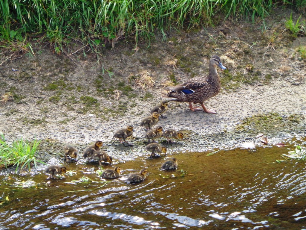
5. Birdlife
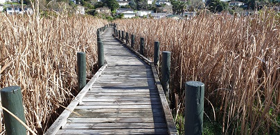
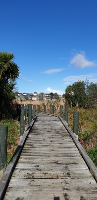
There are several places for bird lovers to go to enjoy seeing New Zealand’s native birdlife. There is a large wetland that has been established out east near Pigeon Mountain, and there are breeding places on the edge of the Manukau Harbour for rare species. As you walk along the bush tracks in Auckland, you will hear many birds singing.

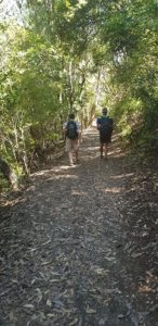
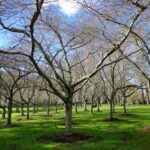
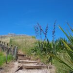
6. Native bush
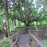
The planners in Auckland have been thoughtful enough to leave areas of native bush. The bush provides cool shelter on hot days. You will get to see native Kauri trees and Nikau ferns amongst the many other varieties. You do not have to look out for snakes and spiders – the spiders are harmless and there are no snakes.

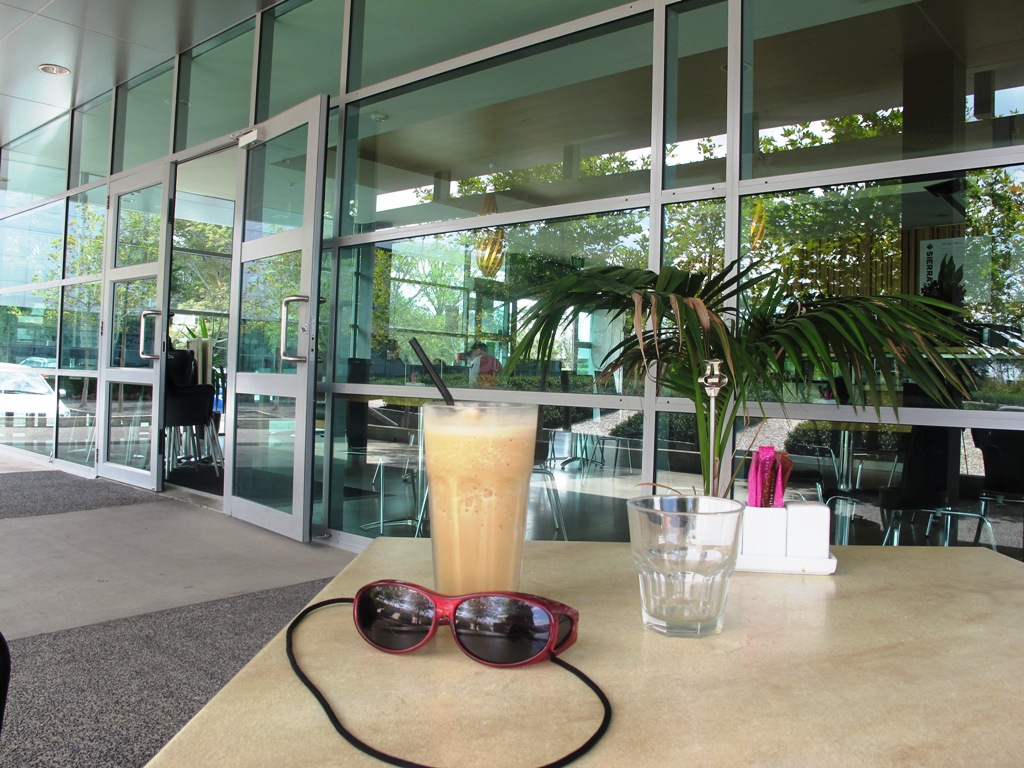
7. Cafes
You are never far from a cafe in Auckland. They are famous for serving up some of the best coffee in the world and the food is pretty good too – just what you need after an energetic walk?
Gather up your walking shoes, friends, family, pet dog and discover the pleasure of walking in Auckland – there are so many things to do and see in Auckland – you may be surprised.


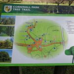


 Cornwall Park Loop
 Streets of Epsom Loop
 Mount Eden Loop
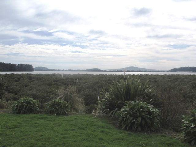


