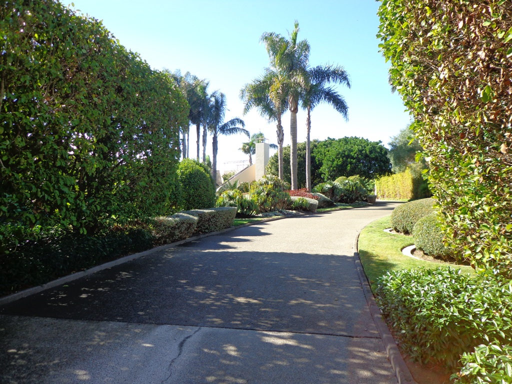
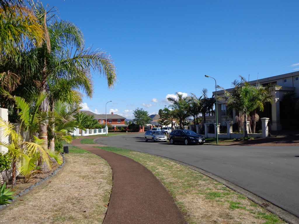
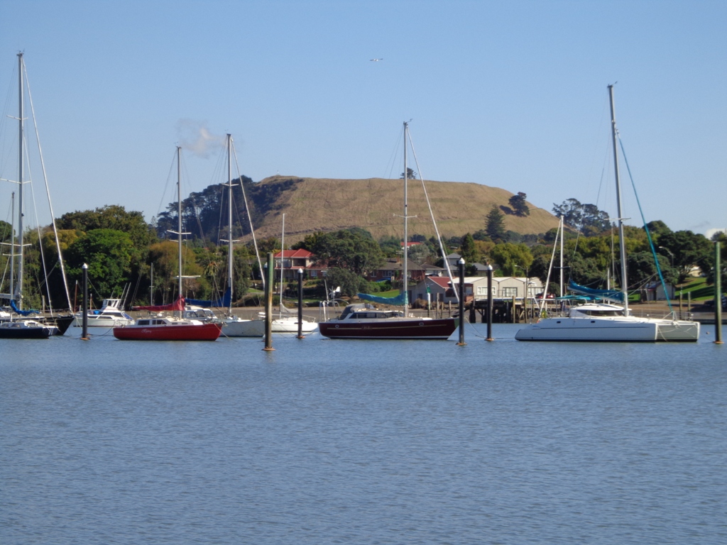
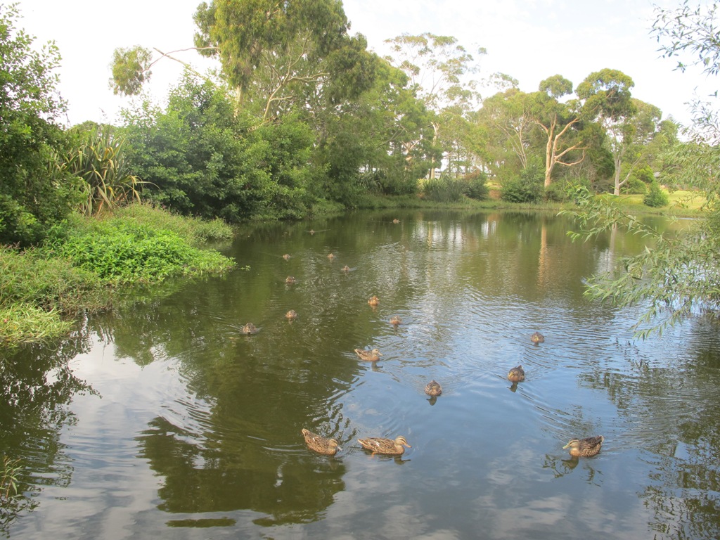
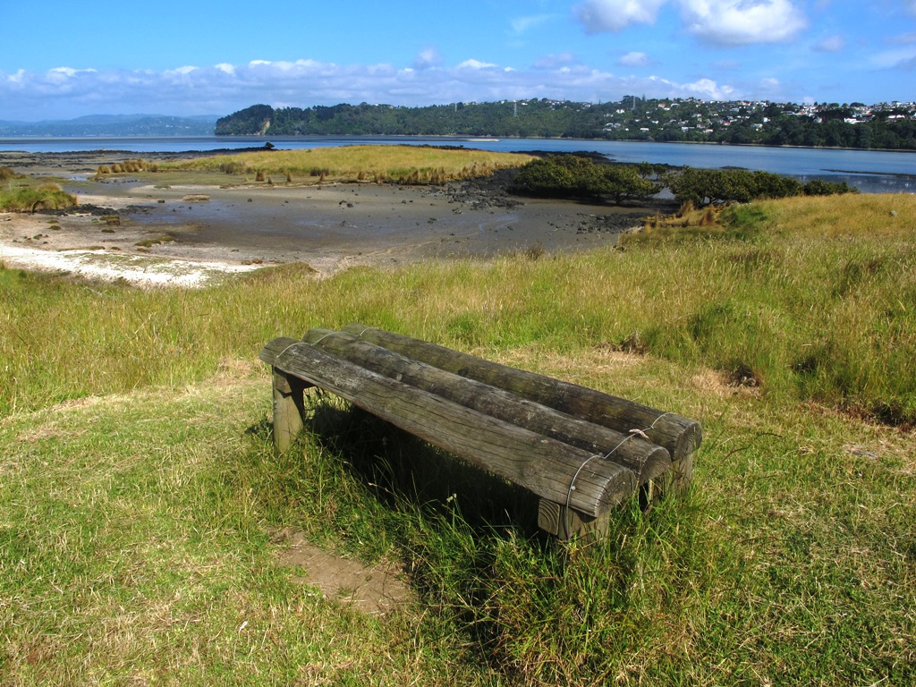
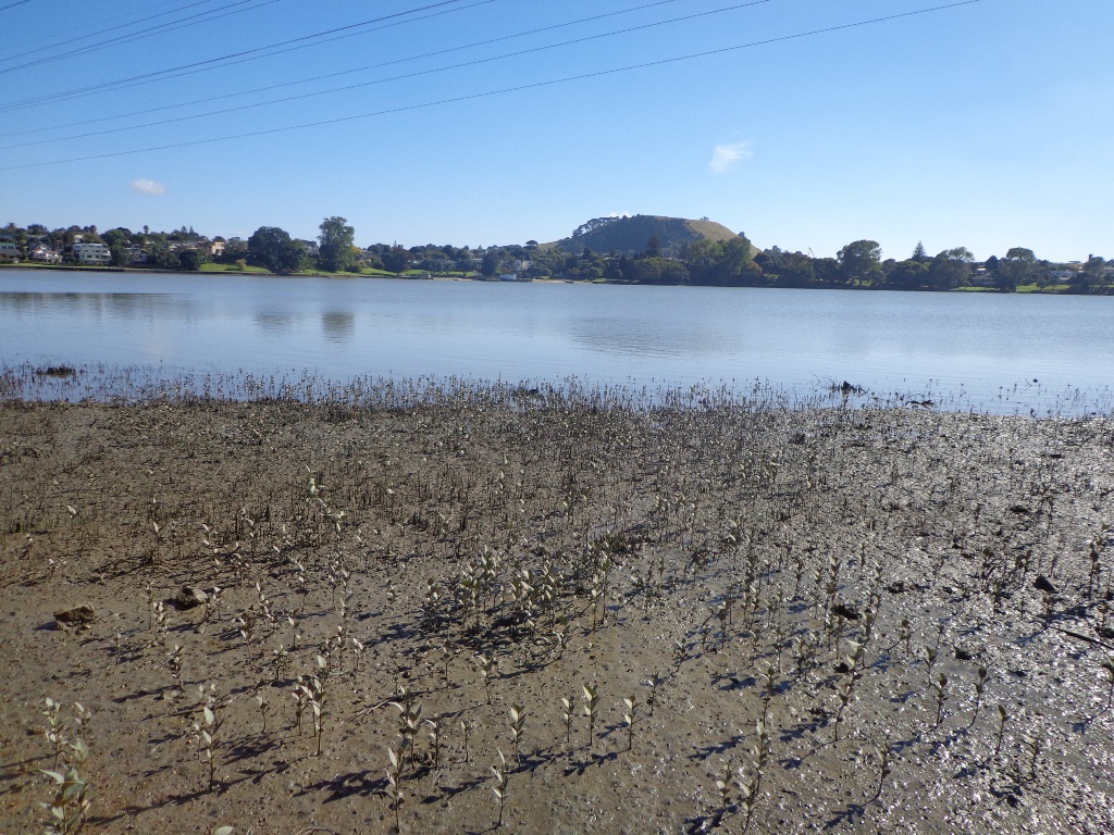
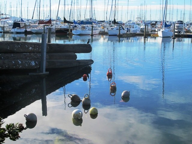
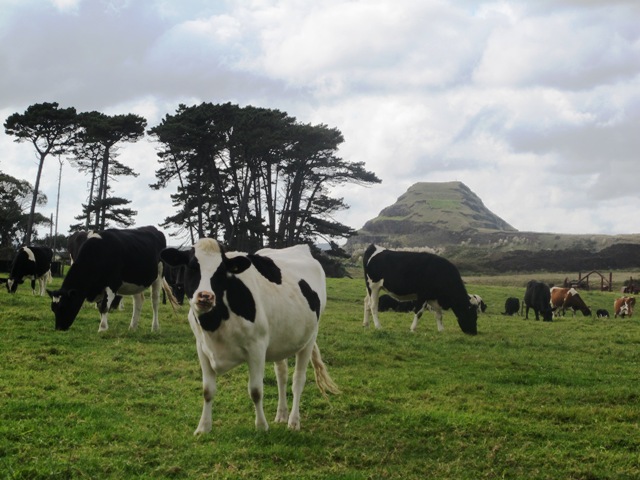
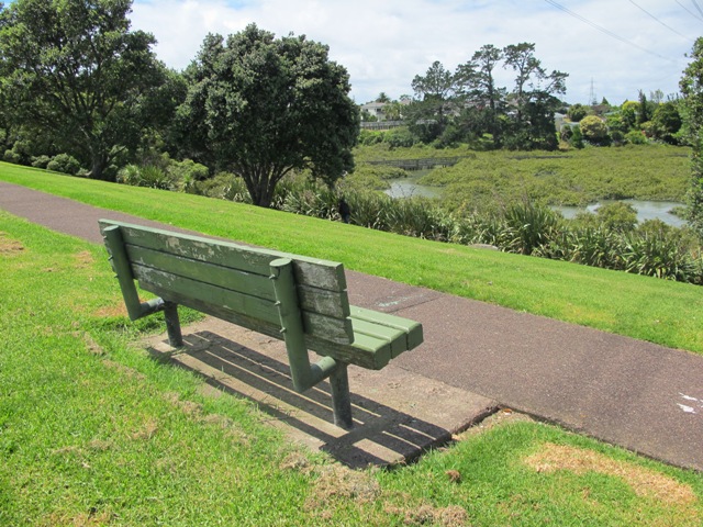
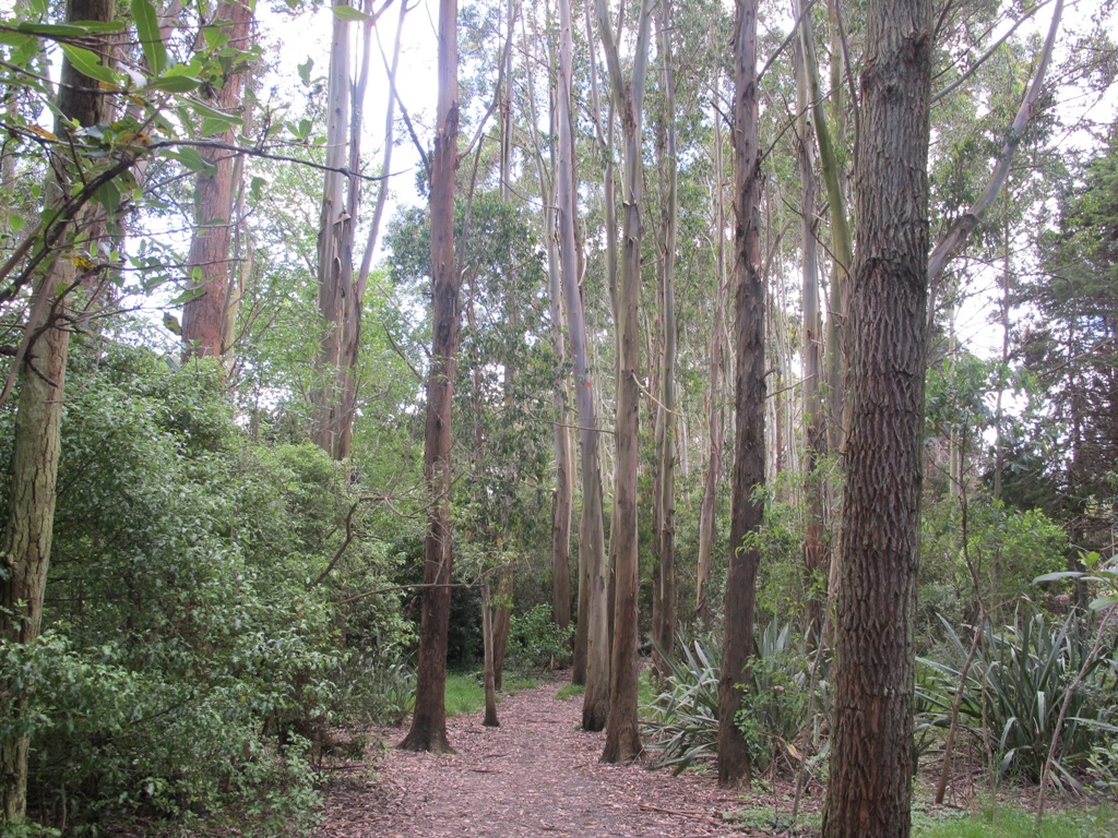
Today we set out to explore another part of the Pakuranga Rotary Walkway, this time taking a loop behind Saint Kentigern College and through Manor Park.
This mainly flat 4km walk would suit workers at Pakuranga Plaza as well as residents. Views of Mount Wellington and water craft. Great for cyclists (cycle the full length of the walkway to Pigeon Mountain) and dog walkers (on leash – please refer to comments below), andfor prams/buggies .
The day was calm and the skies blue – perfect for a walk!
Description: Mainly level paths. Suitable for users of average fitness and mobility. To see: Views of Mount Wellington, water craft, residential homes Time: approx. 45 minutes. (about 4.0 kms) Start: Pakuranga Plaza MAP
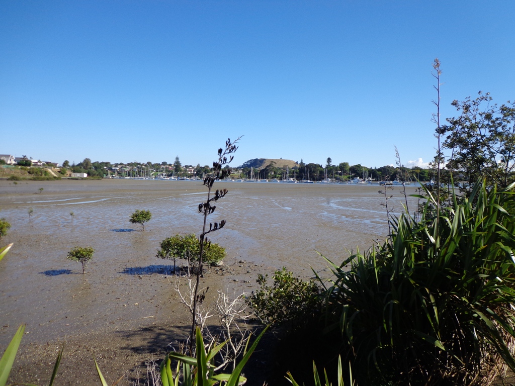
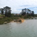
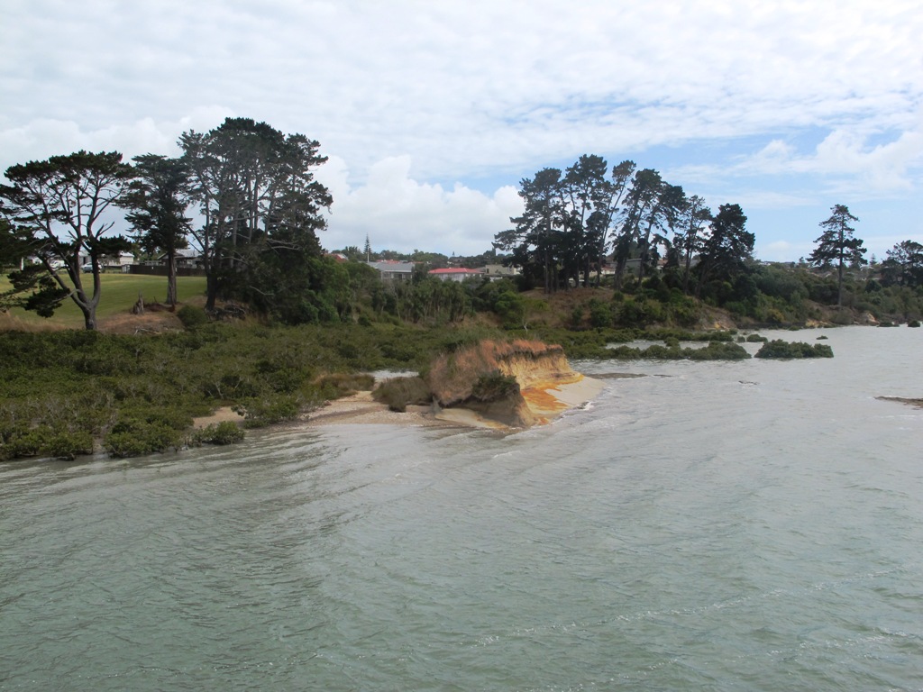
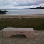
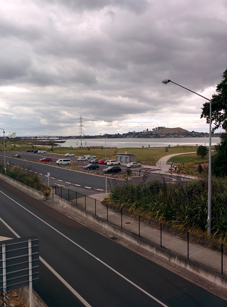
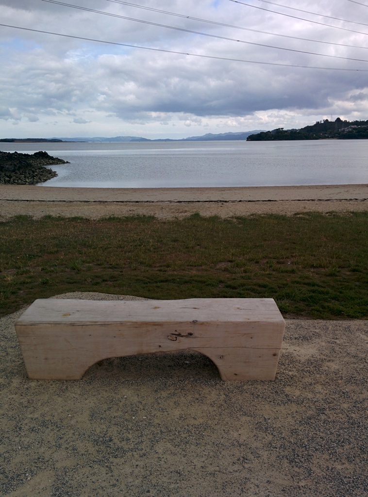
We are not familiar with the Tamaki and Glen Innes area, so today was our first walk and explore. And we discovered beautiful Point England Reserve. What a gem! We had no idea that there was a sandy beach here.
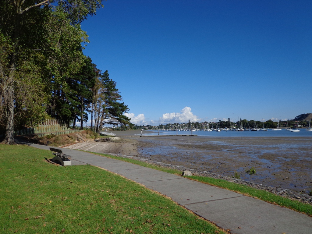
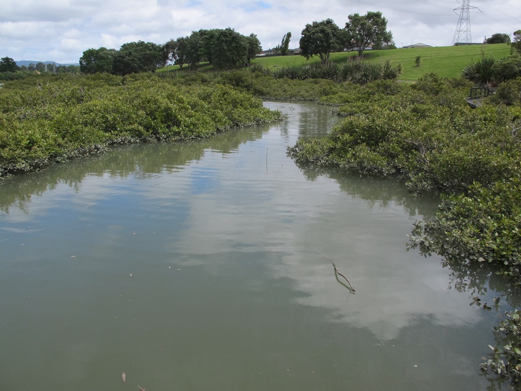
This walk offers great views of East Auckland and the Waitemata harbour and as the walkway passes through bush, mangroves and farmland. This route is a part of the 7.5km Point to Point Walkway.
The walking route is also great for prams/buggies and dog walkers (on leash only).
The lack of rainfall has made the Omaru River smelly, so we do hope that will improve when it next rains. Part of the path is in great need of maintenance. We wonder if the local schools could adopt part of the walkway and learn how to maintain and enhance the bush and stream??? (The Omaru River is an outlet of Orakei Basin and runs underneath Meadowbank to Apirana Ave, through Maybury Reserve and out to Wai O Taiki Bay). Update: a project was kicked off in June 2013. Read: Youth keen to save river
Description: Mostly level paths. Suitable for users of average fitness and mobility. (Take bread to feed the ducks) To see: Estuary views, boats, wetlands, mangroves, residential housing, view of two volcanoes – Mt Wellington and One Tree Hill, Point England Reserve, Maybury Reserve feijoa trees Time approx. 80 minutes. (about 7.0 kms) Start: Glen Innes Train Station (or Point England Road Reserve at end of Point England Road) MAP Nearby Walks: Tahuna Torea, Waiaturua Reserve
Stay on track…get your detailed guide and map over at our Walks Store (AE-059 Point England Walk) and our Book Store (one of 12 walks featured in our books “Coastal part 2” and “Best of the East”).
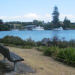
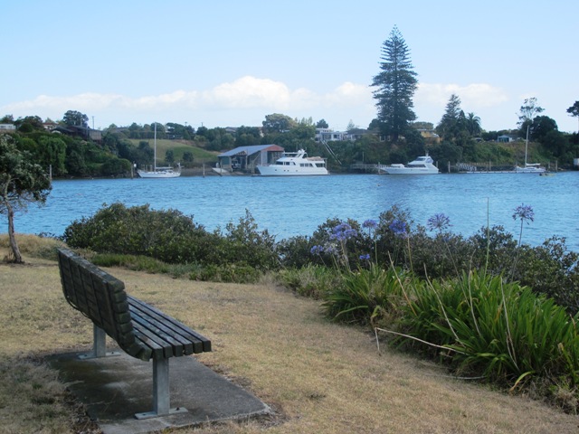
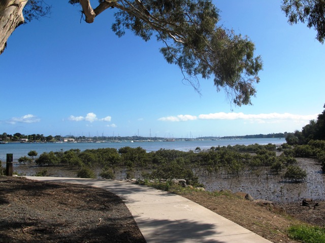
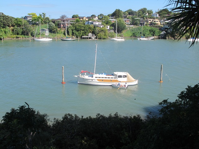
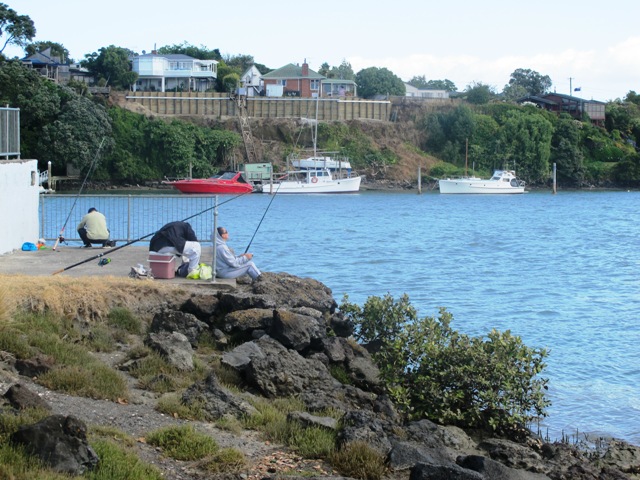
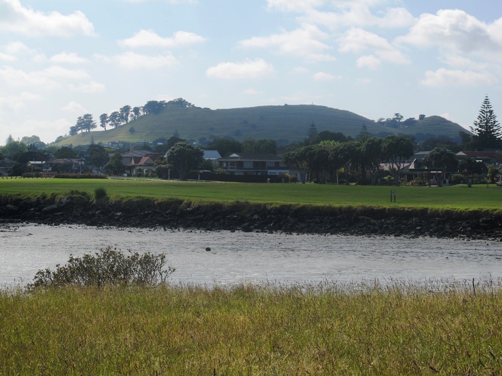
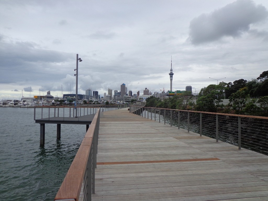
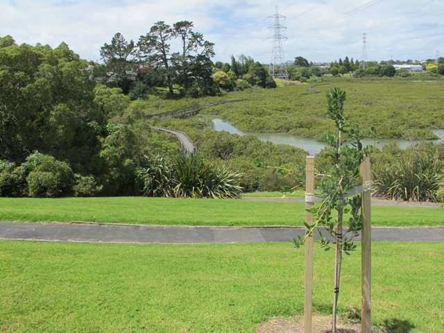
Part of our Pakuranga Loop Walk is along the Pakuranga Rotary Walkway which currently extends to Pigeon Mountain, along the Tamaki Estuary and Whakaaranga Creek.
It is a safe cycling, jogging and walking route. The walkway is paved and relatively flat, making it suitable for wheelchairs, pushchairs and a range of fitness levels. The walkway along the estuary is safe for family cycling.
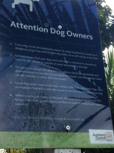
The walking route is also great for prams/buggies and dog walkers (on leash). There is an off leash dog exercise area – along the Pakuranga Rotary Walkway between the Panmure Bridge and Waakaranga Reserve which permits dogs off-leash under the owners control. This is a huge off leash walk but most people do not know about. This sign can be found at the entrance to the walkway at Kerswill Place. See Auckland Council dog rules.
These flat river plains were used to grow oats, hay and wheat up until the 1950’s. Pakuranga was then known as “the granary of Auckland”.
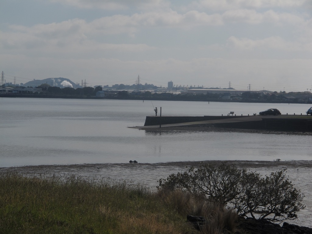
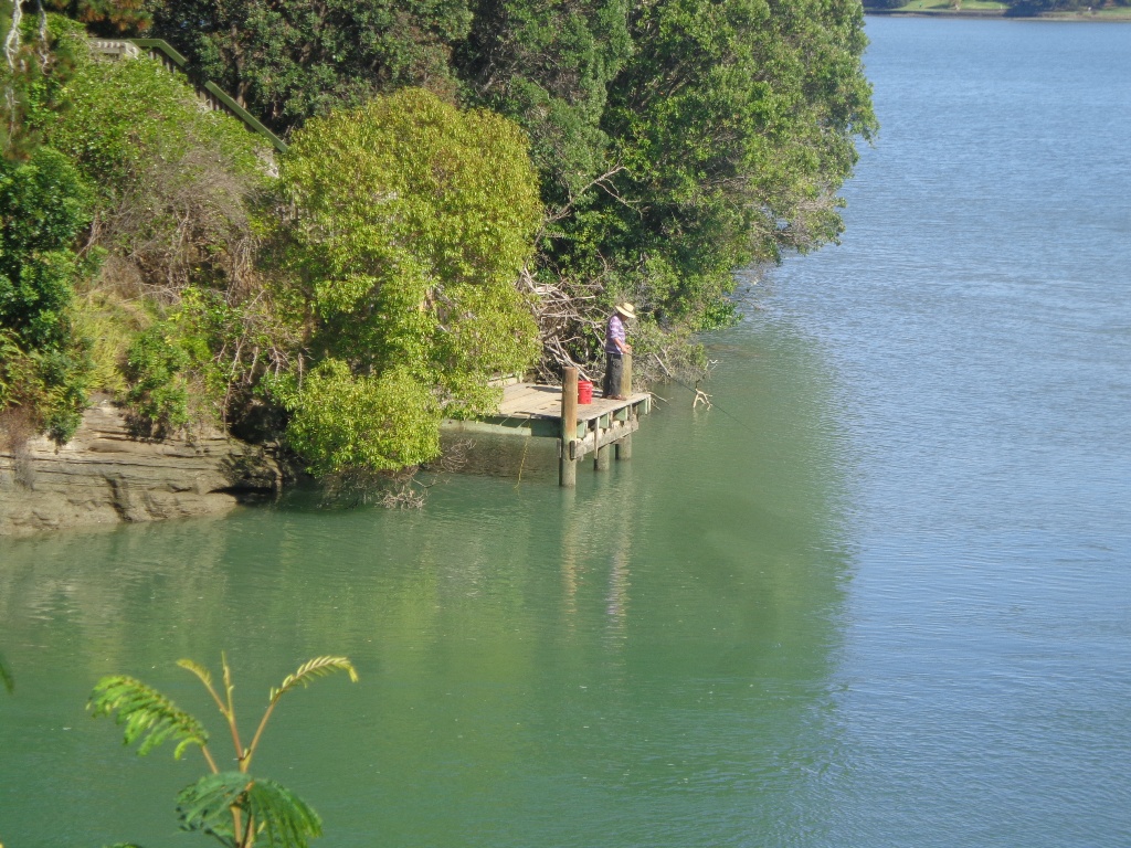
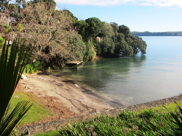
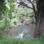
This walk section looks into the mouth of the Panmure Lagoon from the opposite bank.
Description: A mix of level paths and slightly inclined paths. Suitable for users of average fitness and mobility. To see: Estuary views, boats, wetlands, residential housing, Mt Wellington, Pakuranga Mall Time: approx. 40 minutes. (about 3.75 kms) Start: Pakuranga Mall Map
The walk around Ambury Park Farm is a fun, family friendly excursion. Close to Mangere Bridge Village, nestled on the foreshores of Manukau Harbour, with Mangere Mountain as the back drop, it is steeped in volcanic history and it’s intertidal mudflats form a birdwatchers wetland paradise. (We sighted many pukeko running about today).
Ambury Park Farm is named after Stephen Ambury, an English Immigrant who farmed in this area. Mr Ambury produced the first shipment of butter to leave New Zealand for the United Kingdom.
The farm itself has varied animals that young and old always enjoy. (A friend of mine, Robyn P Murray has written beautifully illustrated children’s books about Roger the Rooster and The Spirit of Cameron including other animals in residence at Ambury Park Farm).
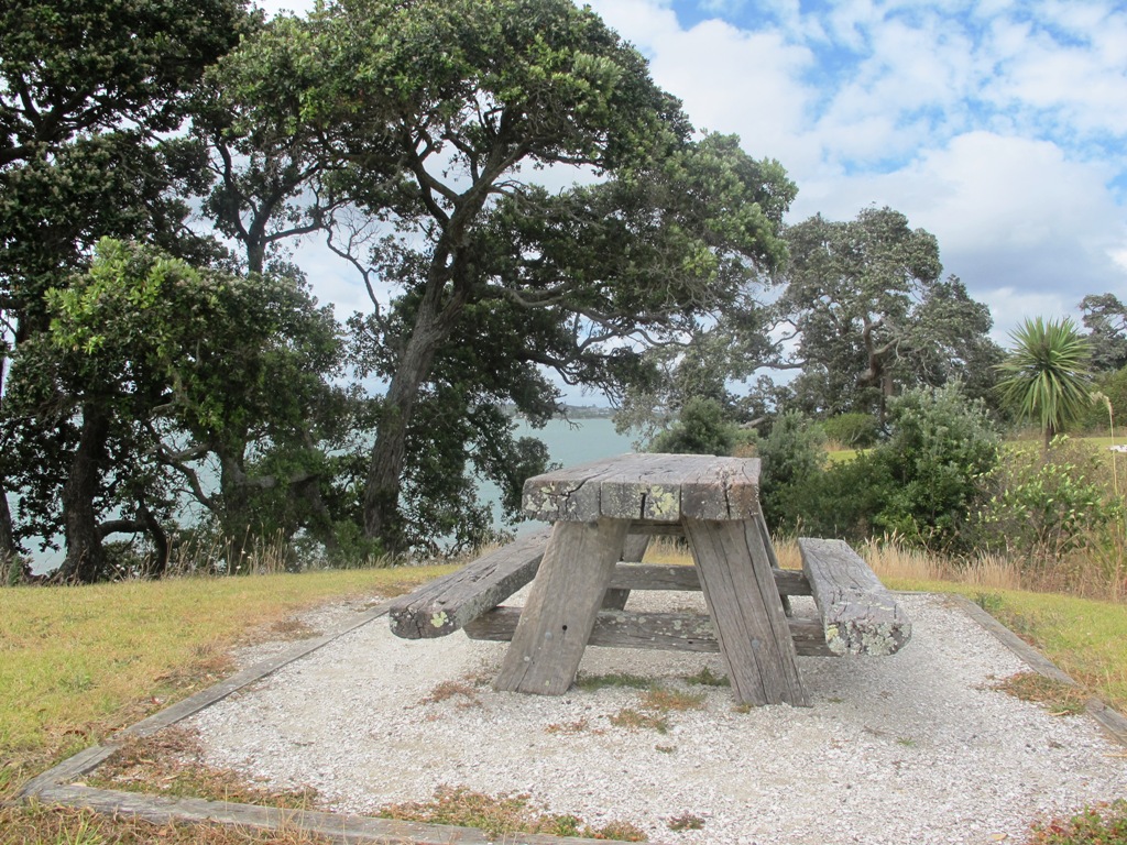
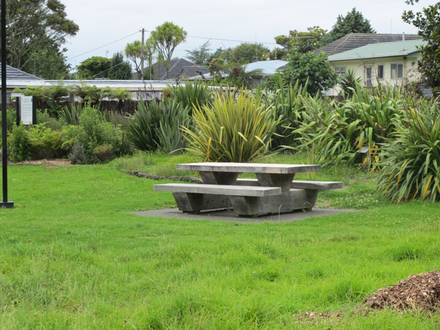
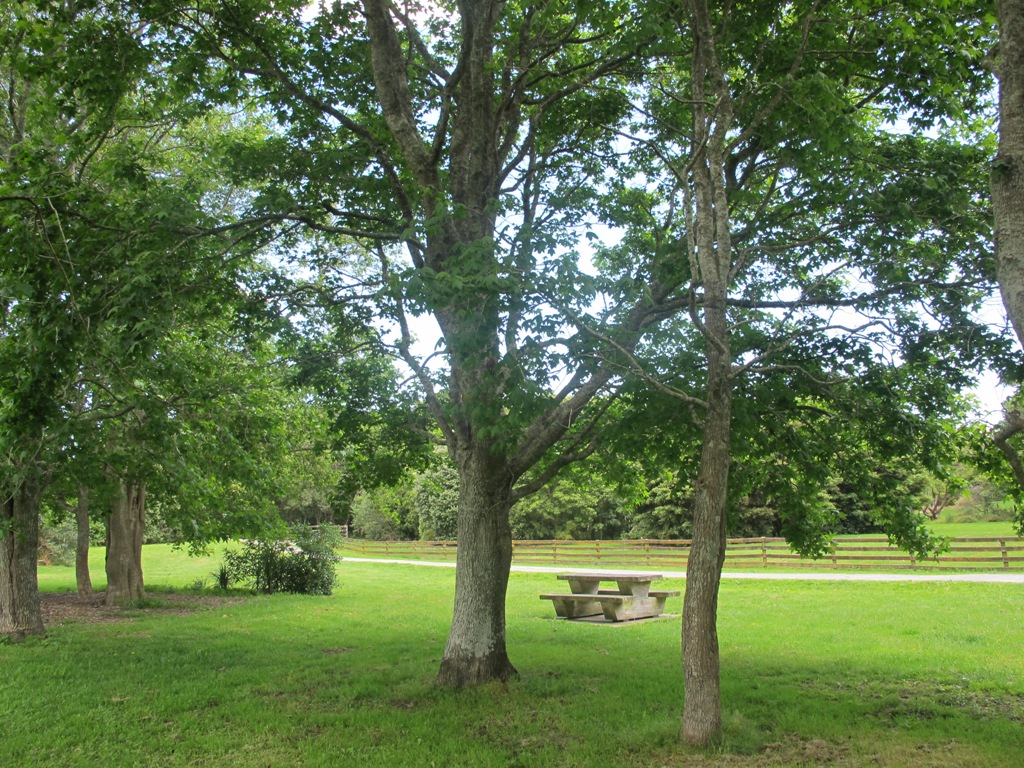
On a hot day, be sure to have hats, sunblock and drinks on hand. There are picnic tables and benches throughout the Park.
The walking route is also suitable for mountainbuggies.
If you enjoy cycling, there is an easy grade 7km mountain bike track (WaterCare Coastal walkway map) which takes you from Ambury Park Farm to Otuataua Stonefields Historic Reserve.
A fun place to take the whole family. Animals to see and pet (feed the new lambs in August), volcanic history, shore birds, picnic spots…You could spend half the day doing the walk and visiting the farm, have lunch in Mangere Bridge Village and then explore Mangere Mountain.
Description: Mostly level paths across farmland and along gravel tracks. Suitable for users of average fitness and mobility. Suitable for mountain bikes. Sturdy shoes recommended. To see: Manukau Harbour, Mangere Mountain, farm land and animals, shore birds, Ambury Park Farm Time: approx. 60 minutes. (about 5.25 kms) Start: Ambury Park Farm car park MAP
Download the map of Ambury and devise your own route or
Stay on track…get your detailed guide and map (AS-056 Ambury Park Farm Loop) over at our Walks Store and our Book Store (one of 12 walks featured in our books “Coastal part 1” and “Best of the South”).
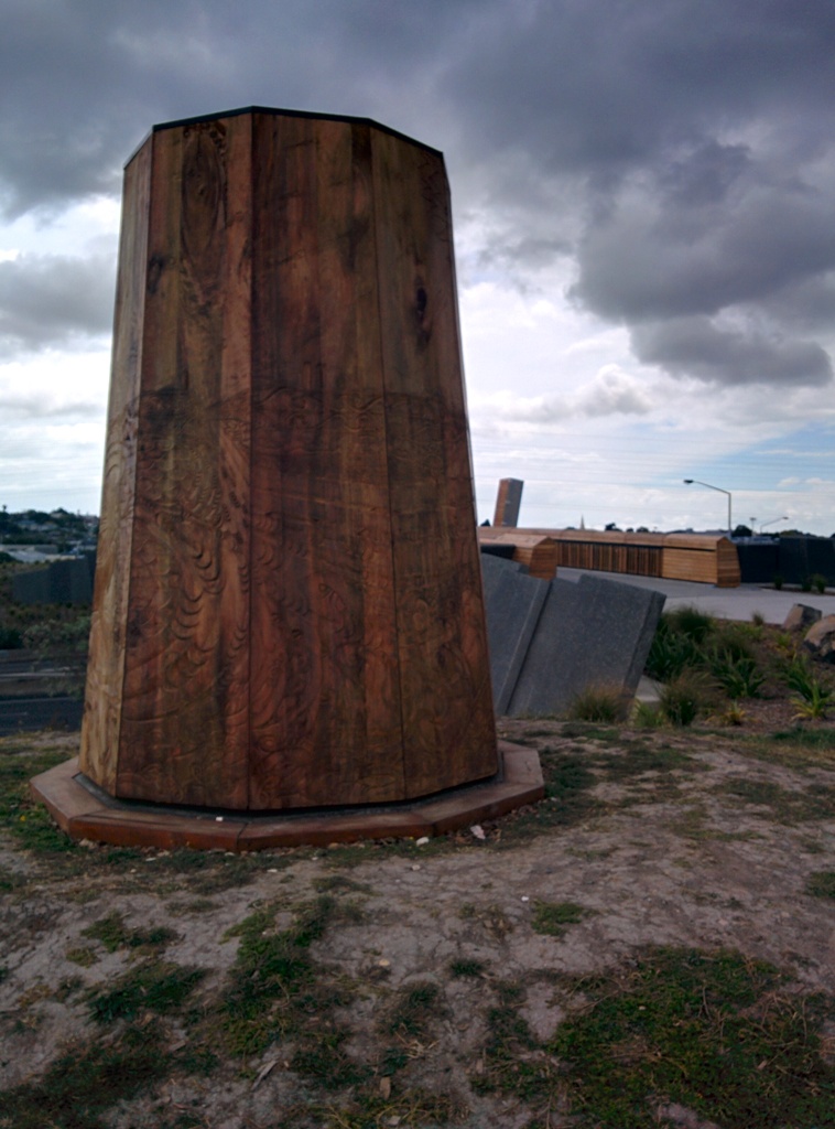
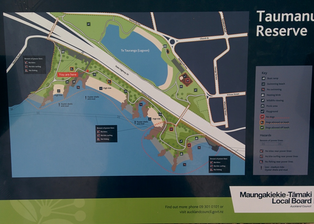
We began our walk today with a route in mind, starting off from Onehunga Train Station. But as we progressed we changed our mind and found a walk that neither of us had done before, taking in part of Onehunga’s foreshore (as of November 2015Taumanu Reserve).
View of Mangere Mountain from Onehunga Foreshore. The Foreshore has since been turned into Taumanu Reserve.
The walk follows the edge of the Onehunga Bay Reserve and then the edge of Manukau Harbour along Orpheus Drive. In summer, I would expect to see more shore birds. Even though the walk passes through part of the industrial area of Onehunga, it is still interesting.
This mostly flat walk can be accessed from Mangere Village also.
Onehunga Bay Reserve has a great wide open space (off leash dog exercise area) for dogs to run around in, and, at high tide, a lagoon to swim in. At low tide it is an esturine mud flat full of stinky, black mud (gumboots required in winter/after rain in the reserve itself). Cycle paths and a children’s playground included.
UPDATE 2013/2014: Auckland Council is “currently restoring the foreshore next to Orpheus Drive to bring back a natural coastal edge and create recreational opportunities for the community. The project will provide high-quality open space, beaches, a boat ramp and picnic areas. A new bridge will connect the new land to the Onehunga lagoon.” (source www.aucklandcouncil.govt.nz) Video: Secrets of New Zealand’s new $28m beach
To see: views of Mangere Mountain, shore birds, Onehunga Wharf, mangroves, Waikaraka cemetery, industrial area, reclaimed beach at Taumanu Reserve. Time : approx. 60 minutes. (about 5.77 kms) Children’s Playgrounds: Onehunga Bay Reserve Dogs: Off leash area in Onehunga Bay Reserve (caution: muddy after rain). Dogs not allowed within Taumanu Reserve. Start from: Princes Street, Onehunga MAP
We stopped off at The Library Cafe for refreshments. There is a Columbus Cafe on the corner of Onehunga Mall and Princes Street.
Stay on track…get your detailed guide and map over at our Walks Store (AC-046 Onehunga Foreshore Loop) and our Book Store (one of 12 walks featured in our books “Coastal part 2” and “Dog Friendly Walks part 3”).
It takes only 30 minutes to walk around the Panmure Basin – another Auckland volcanic crater, but if you take young children with you then it may take longer. Take the tricycles and scooters – this is a mostly flat walk, as there are only two steep bits.
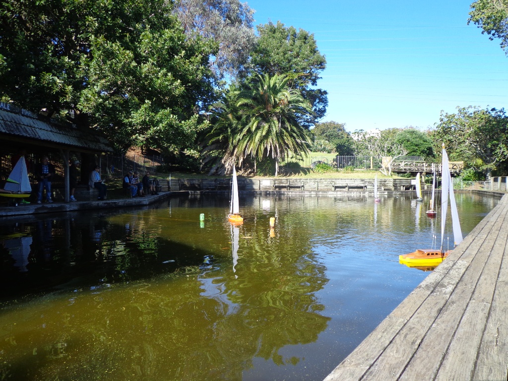
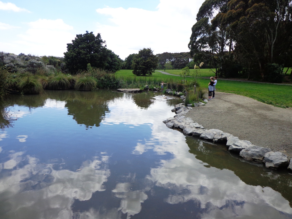
Panmure Basin is a fun family walk in Auckland with several distractions – there is access to 3 playgrounds, and on weekends there is a mini-train ride (runs on Sundays from 1pm to 4pm) and you can stop and watch people controlling their boats on the pond. Keep an eye on the tide chart – it does look prettier at high tide.
You can see the nearby volcano cone of Mt Wellington from the lagoon and if you look carefully from the Jubilee Bridge, One Tree Hill in the far distance.
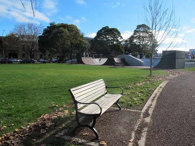
Nearby is a skate park and theLagoon Leisure and Fitness Centre, Lagoon Dr, Panmure – Here you’ll find outdoor pools, a hydroslide, diving boards, and an adventure playground – all kid magnets in the summer. The outdoor area and gardens with barbecues and shaded picnic tables are great for family picnics and functions (source NZ Herald).
The walking route is also suitable for prams/buggies and dog walkers (on leash only). This walk has a fitness trail.
Also nearby is Mount Wellington Domain which is fun to explore and has great views of Auckland.
This area does lack nearby cafes but if you have a car you may want to venture to Pakuranga Plaza or Sylvia Park.
Description: Mostly level path, only 2 slight inclines. Suitable for users of average fitness and mobility. Running shoes suitable in dry weather. To see: Mt Wellington, boats, water birds Time: approx. 45 minutes. (about 4 kms) Start: Panmure Train Station MAP
Stay on track… download this walk (AC-045 Panmure Basin) for free
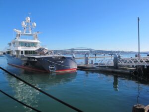
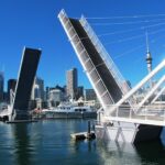
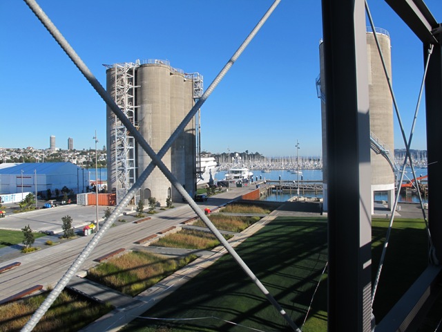
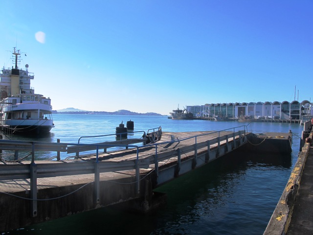
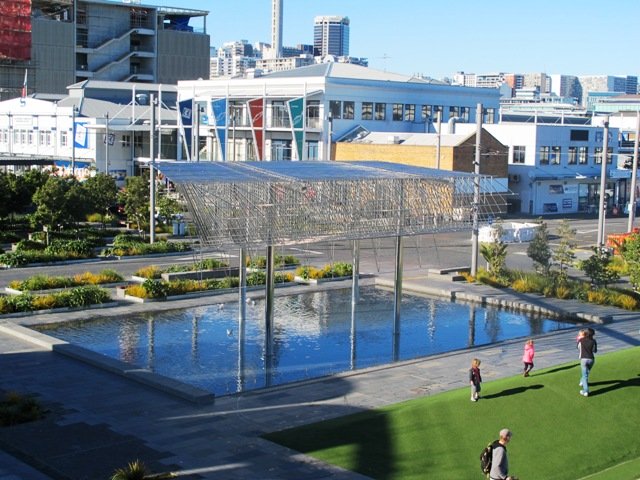
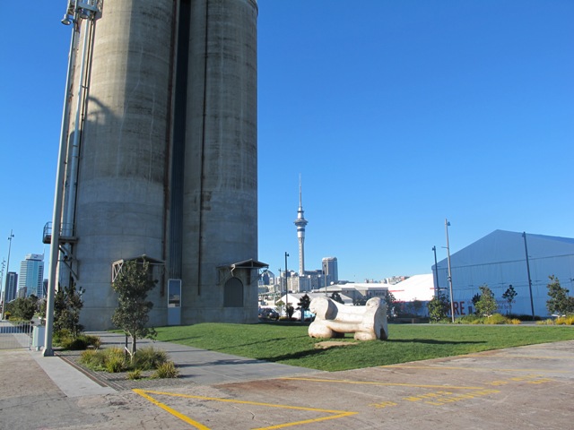
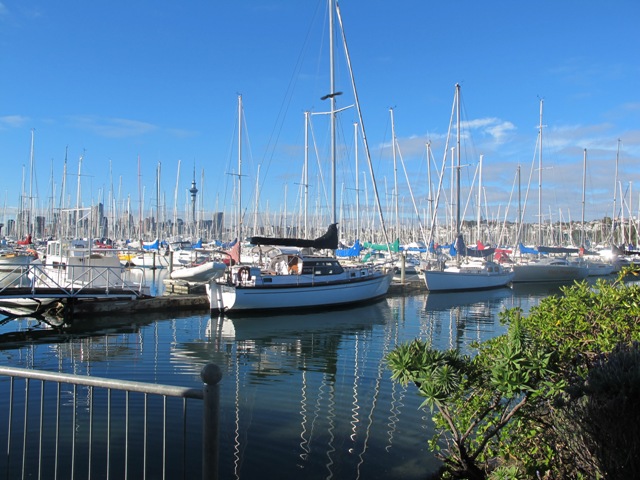
Another beautiful sunny, calm winter’s day in Auckland! The harbour water was dazzling as we walked along the Wynyard Quarter waterfront and the Viaduct Basin.
This walk is a flat one that is great for visitors to Auckland and families who enjoy Auckland’s maritime theme.
The circuit we walked took in many interesting sites- from the new open spaces, fishing boats, trams, opening bridges and fish markets to the super yachts and harbour-side bars and restaurants.
The walking route is also suitable for prams/buggies and dog walkers (on leash only).
The new Wynyard Quarter Stage One opened for business in August 2011. As the Wynyard Quarter expands, there will be more to see and do. So it’s worthwhile coming back often to view progress.
Verdict: Lots to see and do. Fun for children. Easy for push chairs and wheel chairs.
This walk can be linked together with the Point Erin and Auckland Harbour walk for a longer walk starting from the Ferry Building/Britomart and taking in Victoria Park markets.
Description: mainly a level path. Suitable for users of average fitness and mobility. Suitable for wheelchairs and pushchairs. To see: Auckland harbour views, Rangitoto Island views, bridges, yachts Time: approx. 45 minutes. Plus time for lingering(about 3.89 kms) Start: Off Halsey/Beaumont Streets or from Britomart MAP
Stay on track…get your detailed guide and map over at our Walks Store (AC-044Wynyard Quarter & Viaduct Harbour Loop walk) and our Book Store (one of 12 walks featured in our book “Coastal part 1”).
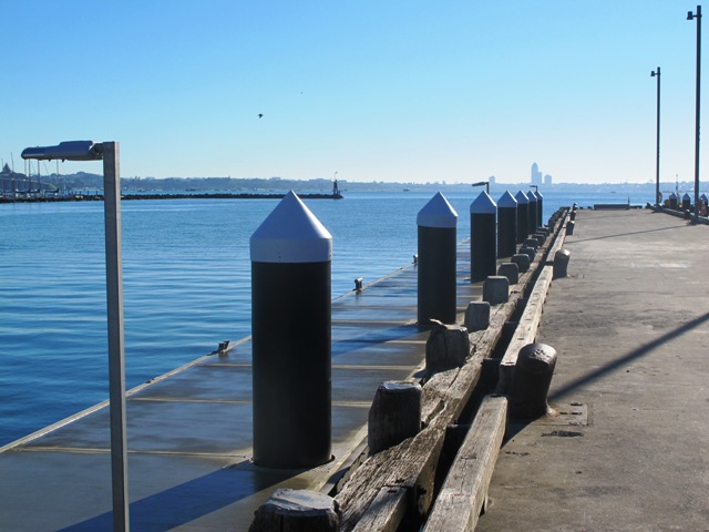
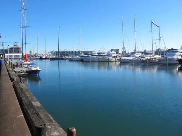
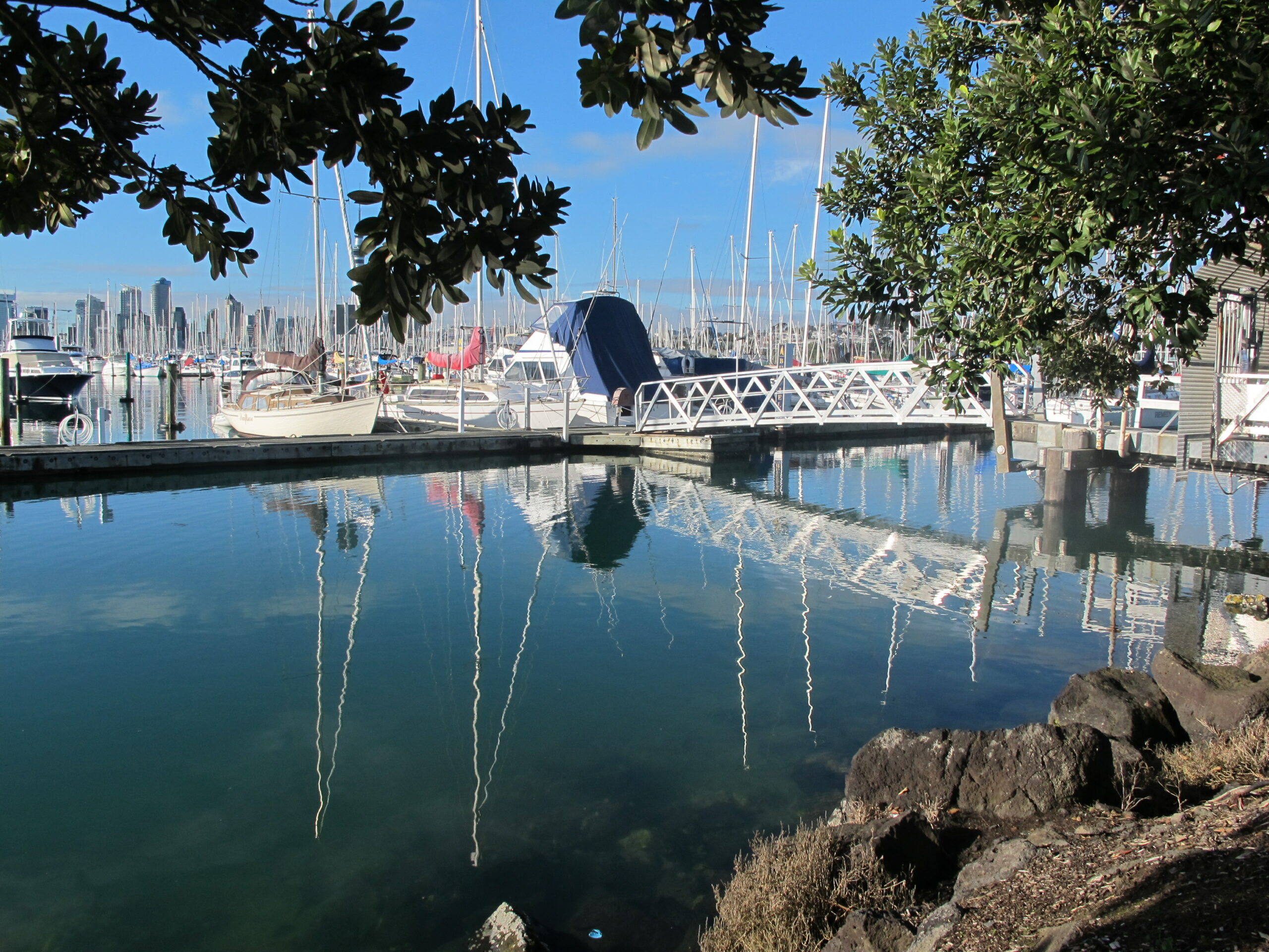
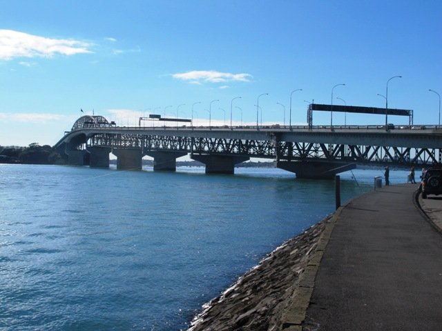
A glorious day after very rough weather earlier this week made the walk today very enjoyable. The sun shone on the full tide, which encouraged me to take many photos as we walked around Westhaven Drive and under the Harbour Bridge.
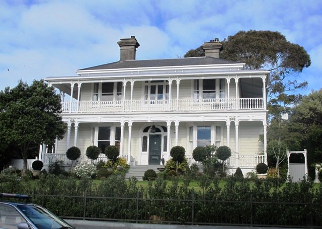
This Auckland walk not only has fabulous views, it is mostly flat (apart from the steep steps at Jacob’s Ladder (which have recently been shortened)), Victoria Park has a great children’s playground and skate park, and there are beautiful old homes to enjoy. There is also a dog off leash area along the way. Victoria Park Markets have been upgraded with cafes and a few retail stores.
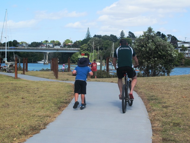
30th January 2015: The Westhaven Promenade is now open. This will form part of a 20km continuous walkway and cycleway that runs from Herne Bay in the west to Tamaki Drive in the east. Read more: Westhaven Promenade
Description: A mix of level paths, one lot of steep steps. Suitable for users of average fitness and mobility. Running shoes suitable. To see: Auckland City views, Rangitoto Island views, harbour views, Harbour Bridge. Time: approx. 60 minutes. (about 5.4 kms) Parking: Carparks in Westhaven Drive
We stopped at the Sitting Duck Cafe for a coffee in the sun, overlooking the moored yachts – bliss! I didn’t want to leave…
Stay on track…get your detailed guide and map over at our Walks Store (AC-043 Point Erin and Harbourside) and our Book Store (one of 12 walks featured in our book “Coastal part 2”).
Puhinui Reserve Walkway was another new discovery for us today. It is a huge (199 hectares of rural landscape) undeveloped area out near Auckland Airport (off Price Road, off Puhiniu Road).
Puhinui Reserve forms part of the extensive Matukuturua volcanic field and is linked with pre-European settlements centred around Wiri Mountain (which has been extensively quarried) and Matukutura (McLaughlins Mountain). The area is used for a 3 day equestrian event once a year. It is a great area for safe family cycling on mountain bikes. This is a mostly flat walk. Dogs are not permitted as it is a conservation area for birdlife (such as the rare or endangered NZ Dotterel, wrybill, fernbird, and black stilt). Take a picnic – there are no nearby cafes.
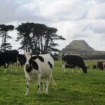
The walking route is suitable for mountain buggies. Puhiniu Reserve is a great place to visit from about the end of July to see the newborn lambs and calves.
Description: A mix of level paths and slightly inclined paths. Suitable for users of average fitness and mobility. May require boots in wet weather (mud and puddles), running shoes suitable in dry weather. To see: Manukau Harbour conservation land, farmland and farm animals, view of McLaughlin Mountain (volcano), native bush. Time: approx. 80 minutes. (about 6.50 kms) Start: Price Road (off Puhinui Road, Wiri) MAP
*** Download this walk AS-039 Puhinui Reserve Loop for free when you enter your details here. *** or…
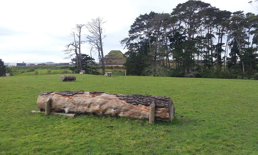
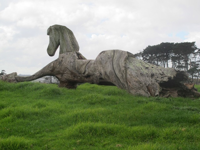
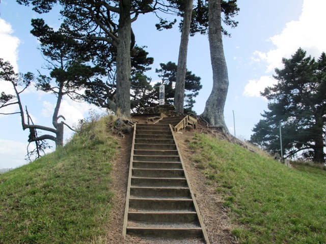
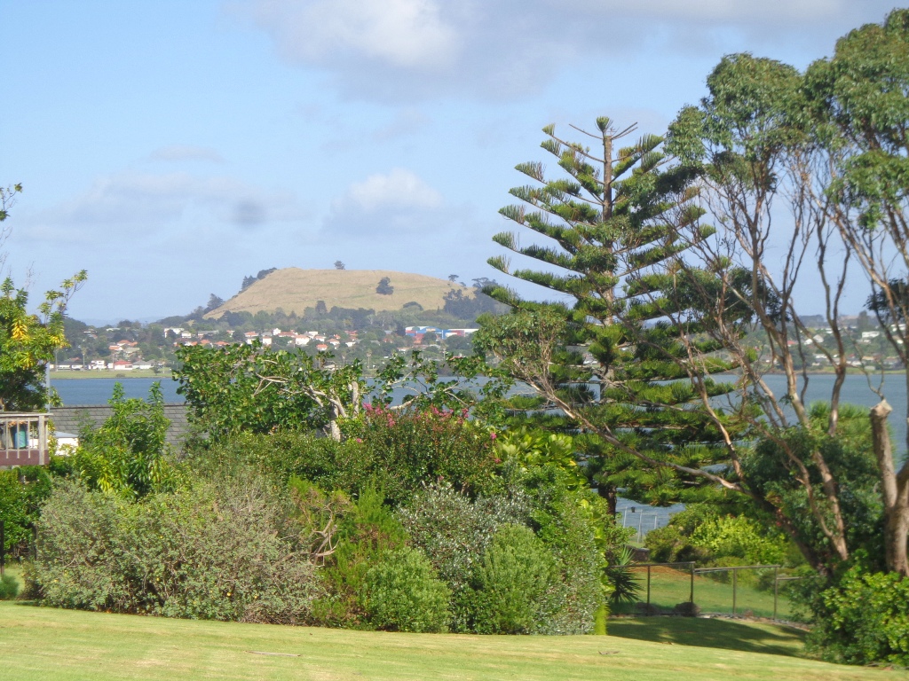
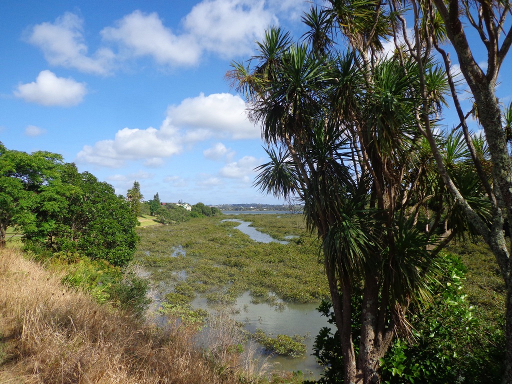
Pigeon Mountain in the suburb of Half Moon Bay is another of Auckland’s volcanoes. The mountain was originally three times its present size but its two craters have been quarried away to provide scoria. It is called Pigeon Mountain because in early European times, native pigeons called ‘kereru‘ used to live here.
View from Pigeon Mountain
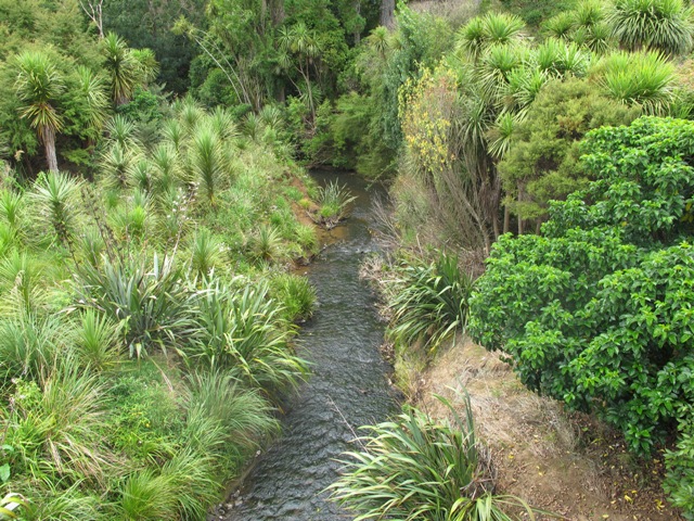
You can walk to the top of Pigeon Mountain and from the summit there are great views of Tamaki Estuary and Wakaaranga Creek Reserve mangroves, whilst below are boardwalks that cross over wetlands that house nests for the pukeko bird.
The nearby mangrove edged Wakaaranga Creek has good paths for wheels. And there is a cool long slide in a playground that is worth checking out. Because most of this walk is in a bird reserve, dogs must be kept on-leash. However if you choose to follow the 5km Pakuranga Rotary walkway, there are several areas for off-leash exercise between the Pakuranga Sailing Club and Wakaaranga Reserve. This is a mostly flat walk if the walk to the summit of Pigeon Mountain is omitted.
Be aware that some pathways between houses and roads are iron bar chicanes that make it more difficult for wheelchairs, prams and cycles using the path.
Description: A mix of level paths, steps and slightly inclined paths. Suitable for users of average fitness and mobility. May require boots in wet weather, running shoes suitable in dry weather. To see: Auckland City views, Rangitoto Island views, Volcano summit, wetlands, Pukeko birds habitat. Time: approx. 75 minutes. (about 6 kms). Allow extra time to walk to the summit of Pigeon Mountain. Start from: Gills Road just off Pigeon Mountain Road MAP
Stay on track…get your detailed guide and map over at our Walks Store (AE-033 Pigeon Mountain and the wetlands) and our Book Store ( one of 12 walks featured in our books “Volcanoes” and “Best of the East”).
The Avondale Whau River walkway from New Lynn, was a new discovery yesterday. The Whau River is almost full of mangroves but it does have a boardwalk going across thanks to Dawn Persson’s commitment to the Avondale Community.
This is a dog friendly walk with an off-leash exercise area and is a mostly flat walk – just one gentle rise after the boardwalk. The walking route is also suitable for prams/buggies.
You may like to pack a picnic or take advantage of the nearby New Lynn Cafes.
Description: A mix of mainly level paths and one slightly steep path. Suitable for users of average fitness and mobility. May require boots in wet weather, running shoes suitable in dry weather. To see: Water birds, Mangroves, river views, boardwalk Time: approx. 50 minutes. (about 6 kms) Parking: Lynn Mall Shopping Centre Carpark
Stay on track…get your detailed guide and map (AW-030 Whau River Loop) over at our Walks Store and our Book Store (one of 12 walks featured in our books “Dog Friendly Walks part 2” and “Best of the West“).
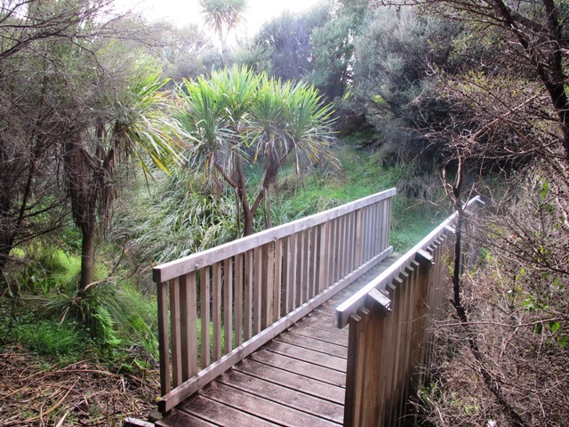
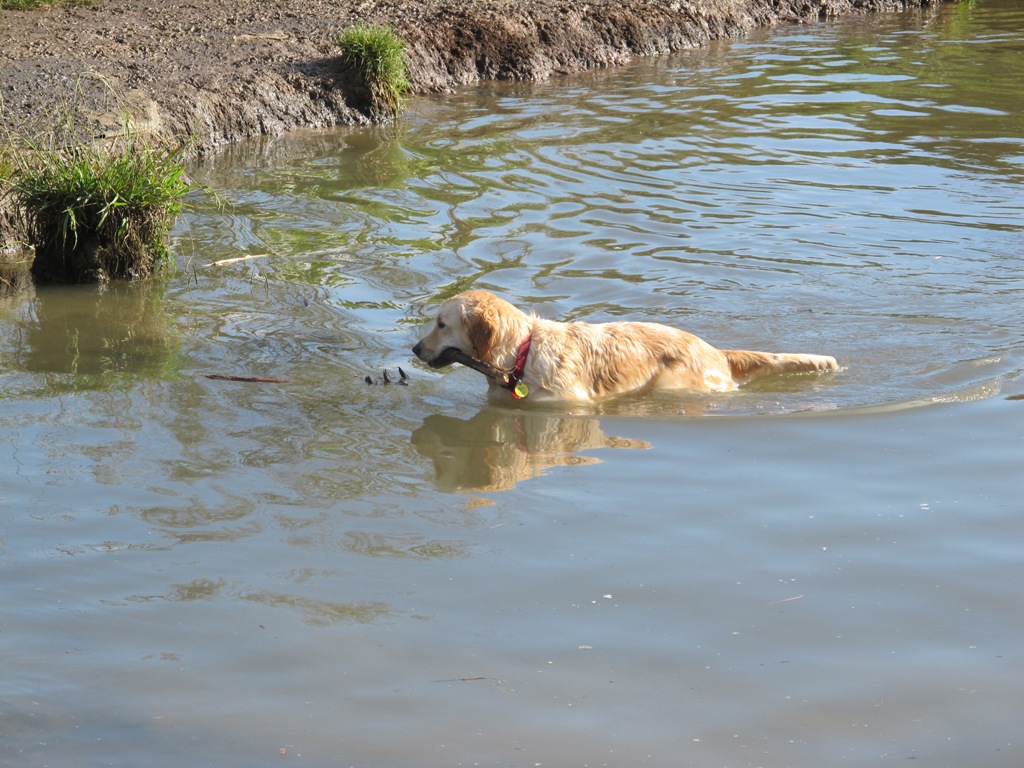
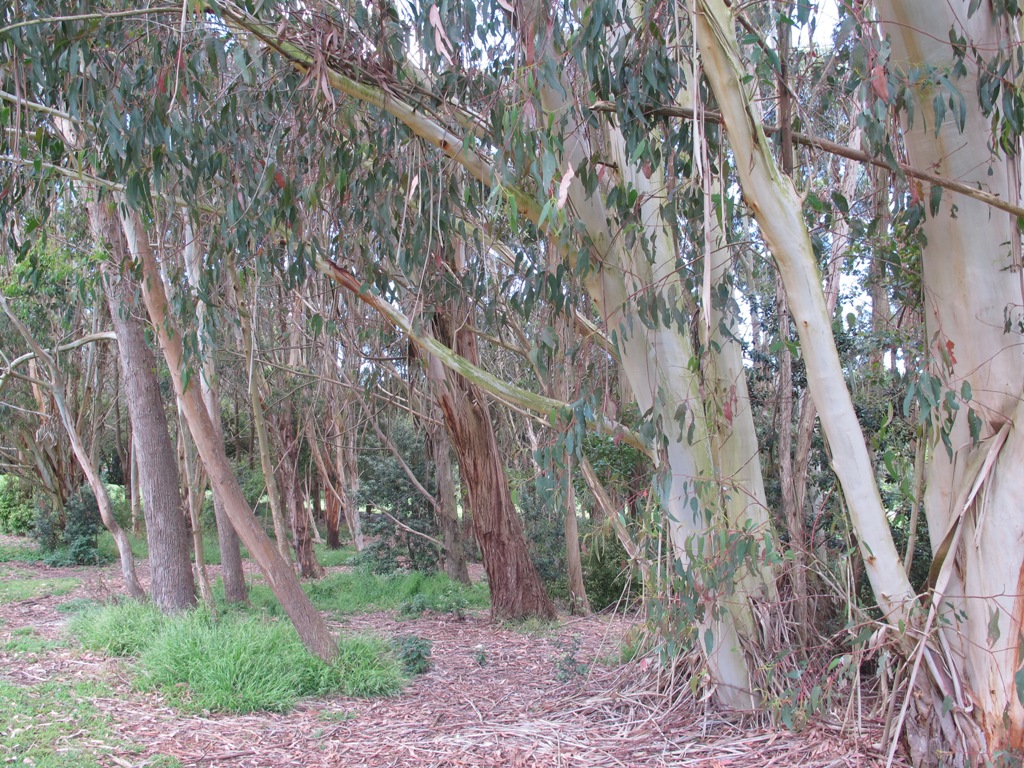
The Henderson Opanuku Stream walk comes under Project Twin Streams. A great deal of progress has been made. It is a very pleasant short bush walk among the native trees – two giant kauris and many macrocarpas, and the sound of birds. This is a dog friendly walk with an off-leash area. And a mostly flat walk.
More work needs to be done on making sign posting clear to encourage more people to get out and discover what a beautiful area it is. The area would also benefit from BBQ areas and children’s playgrounds to encourage more families to enjoy the outdoors.
The walking route is also suitable for prams/buggies and dog walkers (on leash only).
This is another walk that you can get to by rail and make it a day outing as Henderson Railway Station is close by. You may like to pack a picnic or take advantage of the Henderson Cafes.
Description: Mostly level paths. Suitable for users of average fitness and mobility. May require boots in wet weather, running shoes suitable in dry weather. To see: Trees and fauna, stream, parks. Time: approx. 75 minutes. (about 5.2 kms) Start: Opanuku Reserve off Henderson Valley Road MAP
Stay on track…get your detailed guide and map (AW-029 Henderson Opanuku Stream Circuit) over at our Walks Store and our Book Store (one of 12 walks featured in our books “Urban Bush” and “Best of the West“).
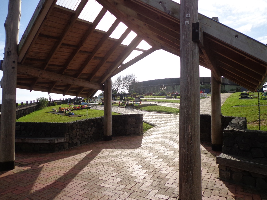
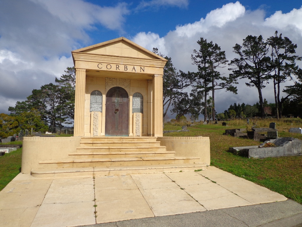
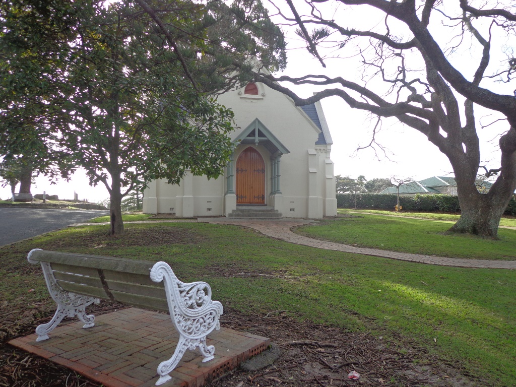
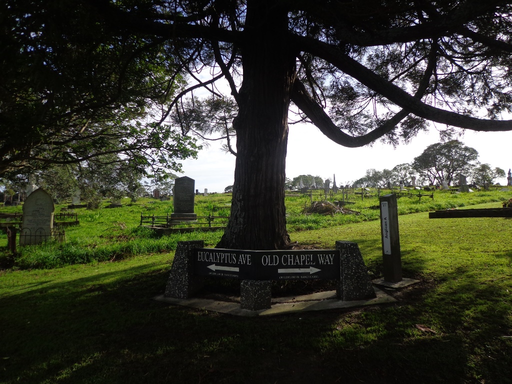
When I first came to live in New Zealand, I lived in Glen Eden. I had never visited Waikumete Cemetery until today. What an amazingly beautiful and fascinating place.
The Waikumete Cemetery takes up a huge area between Great North and West Coast Roads, with beautiful landscaping and fabulous trees. And there is so much history here – from the 1918 flu epidemic and the Gallipoli soldiers to the mausoleums of the wine magnates of Corbans and Nobilo. It is really worth visiting.
Part of this loop is a short bush walk where you may be lucky to hear the sounds of native birds, and even spot a rabbit dashing for cover.
The walking route is also suitable for prams/buggies and dog walkers (must be kept on leash within the cemetery grounds).
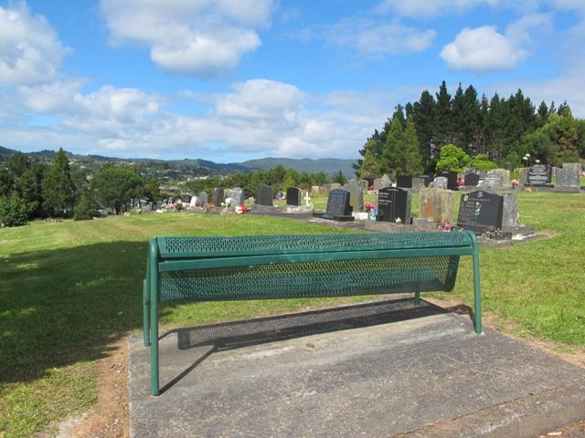
Description: A mix of level paths and steep paths/steps. Suitable for users of average fitness and mobility (with good knees). May require boots in wet weather, running shoes suitable in dry weather. To see: Auckland City views, Waitakere Hills, trees and fauna, historical graves. Time: approx. 60 minutes. (about 5 kms) Start: Waikumete Road MAP
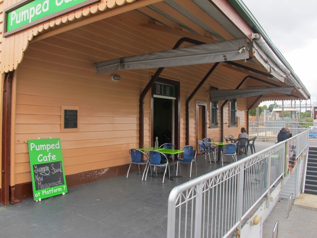
You may decide to arrive by train to Glen Eden railway station and make this a day outing. The ‘Pumped Cafe’ at the station has good coffee and food or there is a new Columbus cafe on the corner of Oates Road/West Coast Road.
Stay on track…get your detailed guide and map (AW-028 Glen Eden and Waikumete Cemetery) over at our Walks Store and our Book Store (one of 12 walks featured in our book “Best of the West“).
Today’s discovery walk was at Hobsonville Point. A good friend of mine had already told me about how wonderful the Catalina Cafe is on a sunny day. And then today I read about Hobsonville Pt Park children’s playground which is quite unique – made from sustainably sourced materials.
The family friendly walk explores the former air base with the very few remaining old buildings. There is a great deal of development going on with new housing and a planned ferry service to the CBD from ‘The Landing’ (which used to be the launching and landing place for flying boats, including Sunderland and Catalina planes). The historic buildings are being demolished at a fast pace to make way for new housing, so if history is your thing, get down there before it is completely gone.
The walking route is also suitable for prams/buggies and dog walkers (on leash only as of August 2014).
This walk takes about 60-80 minutes and is ideal for spring and autumn (too hot in summer and too muddy in winter). There is a lot to explore if you haven’t been here before. This is a dog friendly walk with an off-leash area and is a mostly flat walk.
Please note: As this area is under constant development, the walking route and the off leash dog exercise area, may be subject to change.
Description: Level sealed paths and bush track. Suitable for users of average fitness and mobility. May require boots in wet weather, running shoes suitable in dry weather. Suggested spring/autumn walk. Caution: Muddy and slippery when wet. To see: Hangars, barracks, officers housing, seaplane slipway, Auckland harbour views, weekend markets. Time: approx. 60-80 minutes. (about 5.5 kms) Start: Opposite Catalina Café off Buckley Avenue MAP
You may wish to download our free Hobsonville Point walkway brochure when you enter your contact details here or find your own route here.
Stay on track…get your detailed guide and map (AW-013 Hobsonville Point) over at our Walks Store and our Book Store (one of 12 walks featured in our books “Dog Friendly Walks part 3” and “Best of the West“.
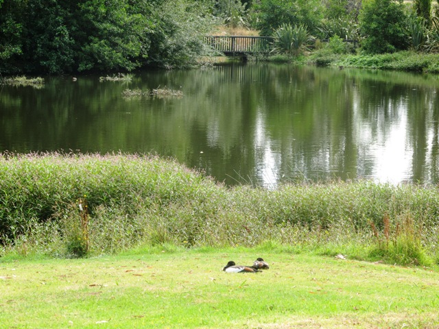
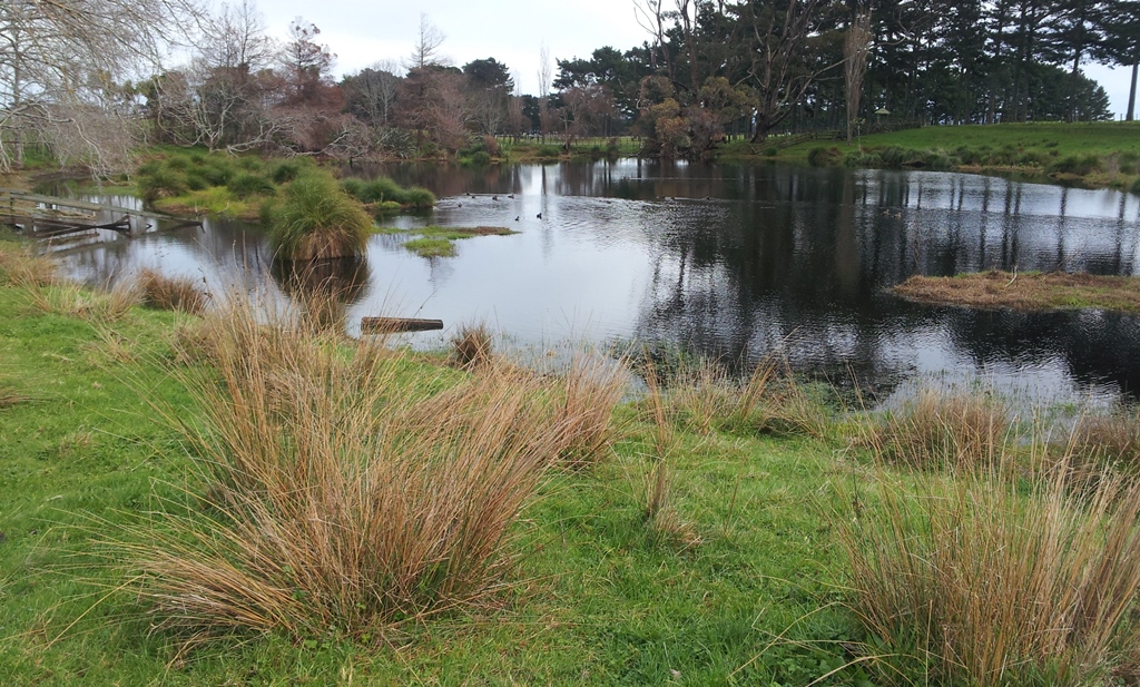
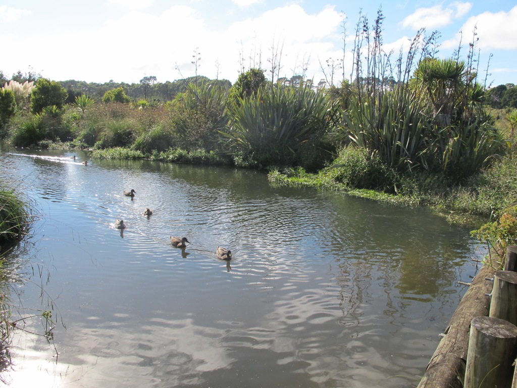
Waiatarua Reserve has something for everyone. The reserve is a large wetland (see the pukeko and other water birds) with paths suitable for walking, jogging, wheelchairs (not electric wheelchairs) and cycling (paths not suitable for small wheels like scooters).
The walking route is also suitable for prams/buggies with large wheels.
It has a children’s playground, picnic tables, viewing platforms, a Basketball half court, a Skate park.
This is a dog friendly, mostly flat walk (watch out for puddles after rain) with an off-leash exercise area. It has been called “Auckland’s best dog park” (See other Dog Friendly Walks).
In some places, you could imagine that you are a long way from civilization, because all you can hear are the birds and all you can see are trees.
The walk is signposted to be 60 minutes long, we walked just over 3 kms, which makes it a short family friendly walk.
Description: Mostly level paths with very slight inclines. Suitable for users of average fitness and mobility. May require boots in wet weather, running shoes suitable in dry weather. To see: Wetlands, Ducks and Pukeko birds habitat. Time: approx. 30-60 minutes depending on what you decide (about 3.3 kms) Start: Car park off Grand Drive MAP Suggested Cafe:Hollywood Bakery in Lunn Avenue
Stay on track…get your detailed guide and map over at our Walks Store (AC-035 Waiatarua Reserve) and our Book Store (one of 12 walks featured in our book “Dog Friendly Walks part 1”).
Self guided short circular walks in Auckland for health, fitness and fun